Signs Tagged With Distance Marker
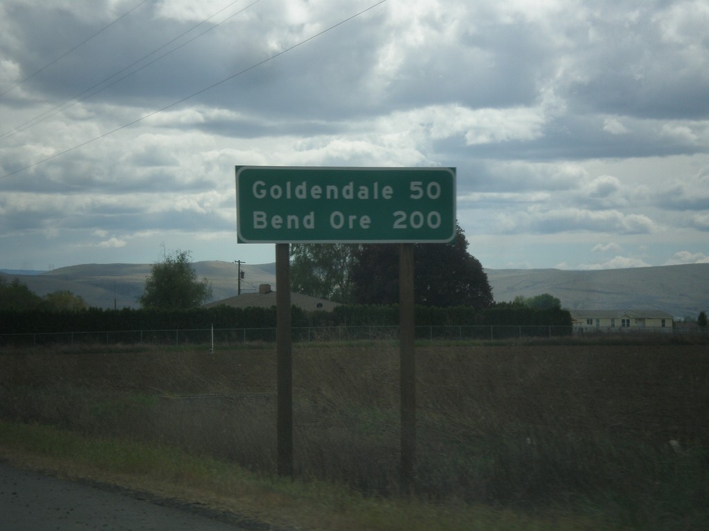
US-97 South - Distance Marker
Distance marker on US-97 south. Distance to Goldendale and Bend, Ore.
Taken 04-30-2018
 Toppenish
Yakima County
Washington
United States
Toppenish
Yakima County
Washington
United States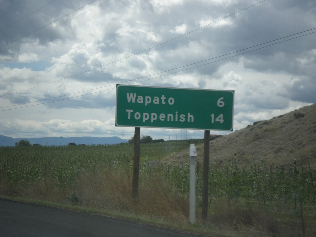
US-97 South - Distance Marker
Distance marker on US-97 south. Distance to Wapato and Toppenish.
Taken 04-30-2018
Wapato
Yakima County
Washington
United States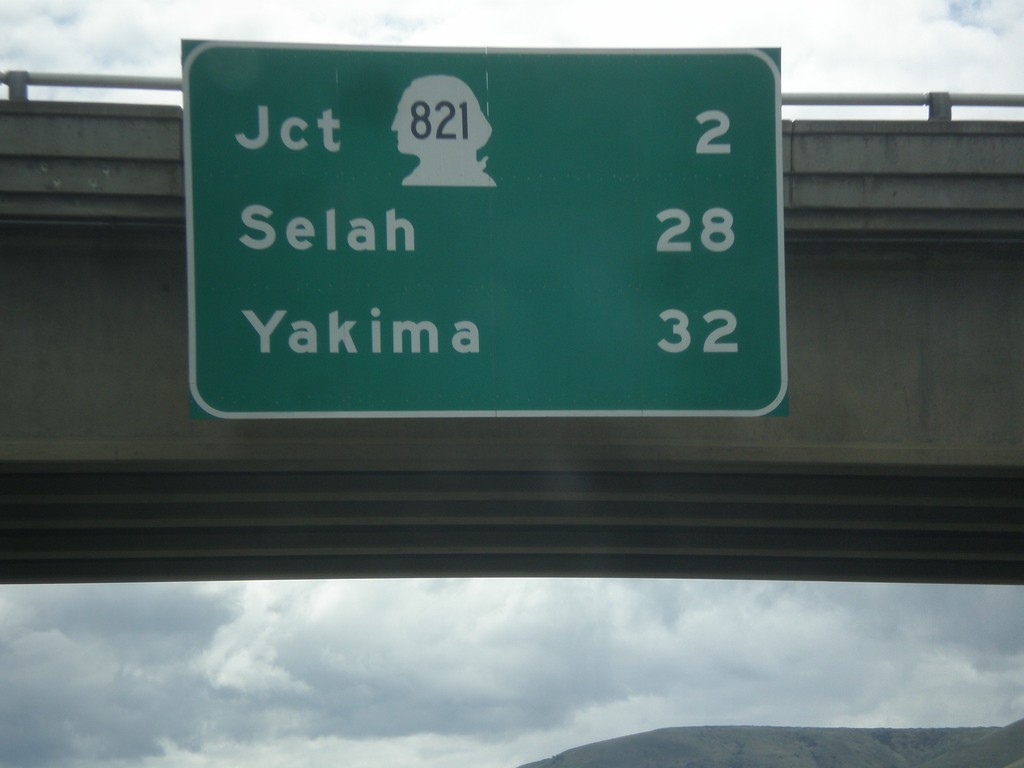
I-82 South - Distance Marker
Distance marker on I-82 south. Distance to Jct. WA-821, Selah, and Yakima.
Taken 04-30-2018

 Ellensburg
Kittitas County
Washington
United States
Ellensburg
Kittitas County
Washington
United States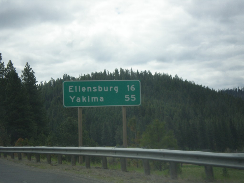
US-97 South - Distance Marker
Distance marker on US-97 south. Distance to Ellensburg and Yakima.
Taken 04-30-2018
Cle Elum
Kittitas County
Washington
United States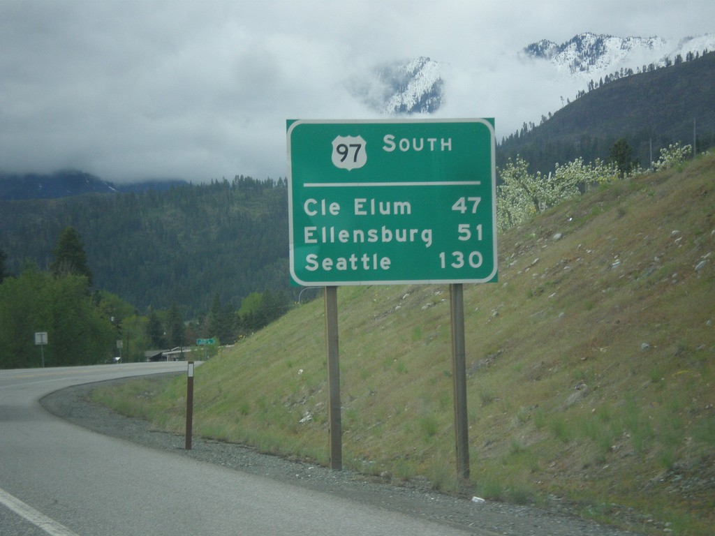
US-97 South - Distance Marker
Distance Marker on US-97 south. Distance to Cle Elum (via WA-970), Ellensburg, and Seattle (via WA-970 and I-90). This type of distance marker with the route name on top is not typical in Washington.
Taken 04-30-2018
Peshastin
Chelan County
Washington
United States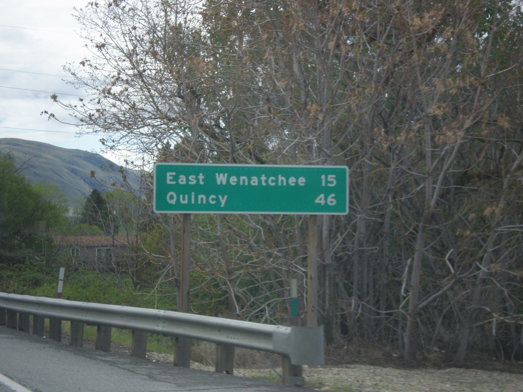
US-2 West/US-97 South - Distance Marker
Distance Marker on US-2 West/US-97 South. Distance to East Wenatchee and Quincy. Both of those cities are via WA-28.
Taken 04-30-2018
 Orondo
Douglas County
Washington
United States
Orondo
Douglas County
Washington
United States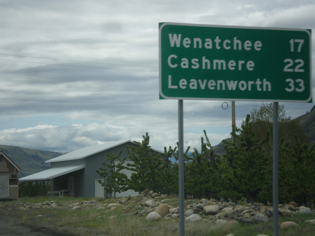
US-2 West/US-97 South - Distance Marker
Distance Marker on US-2 West/US-97 South. Distance to Wenatchee, Cashmere, and Leavenworth.
Taken 04-30-2018
Orondo
Douglas County
Washington
United States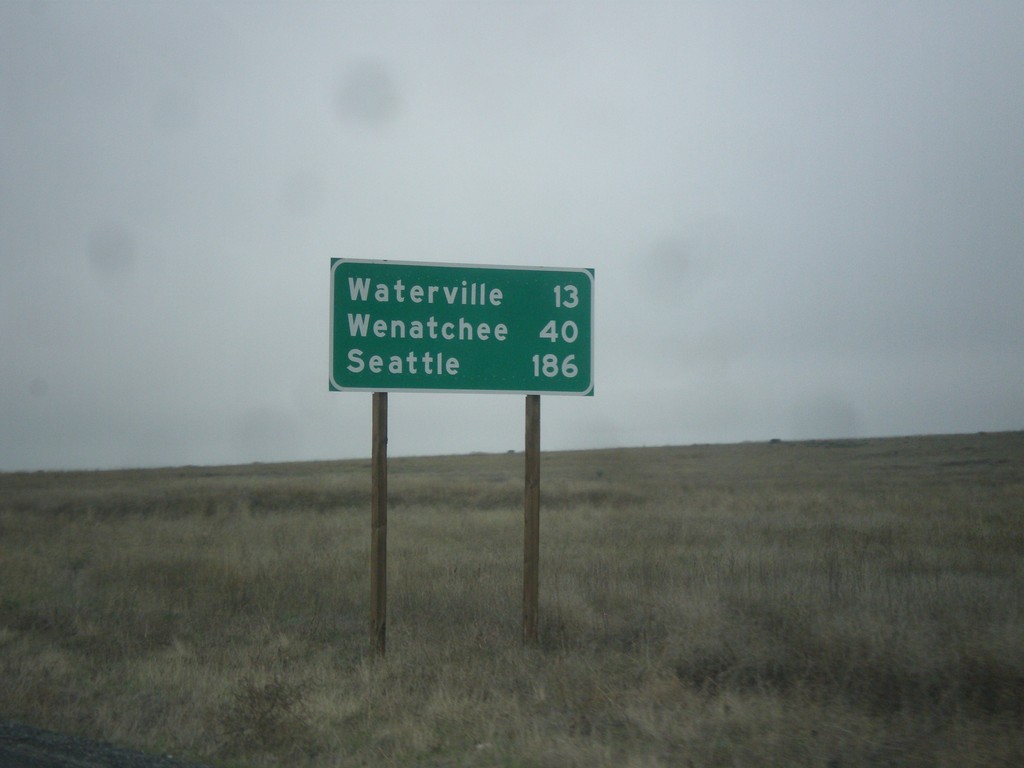
US-2 West - Distance Marker
Distance marker on US-2 west. Distance to Waterville, Wenatchee, and Seattle.
Taken 04-30-2018
Waterville
Douglas County
Washington
United States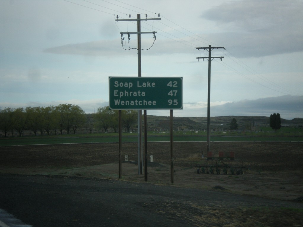
WA-28 West - Distance Marker
Distance marker on WA-28 west. Distance to Soap Lake, Ephrata, and Wenatchee.
Taken 04-30-2018
 Odessa
Lincoln County
Washington
United States
Odessa
Lincoln County
Washington
United States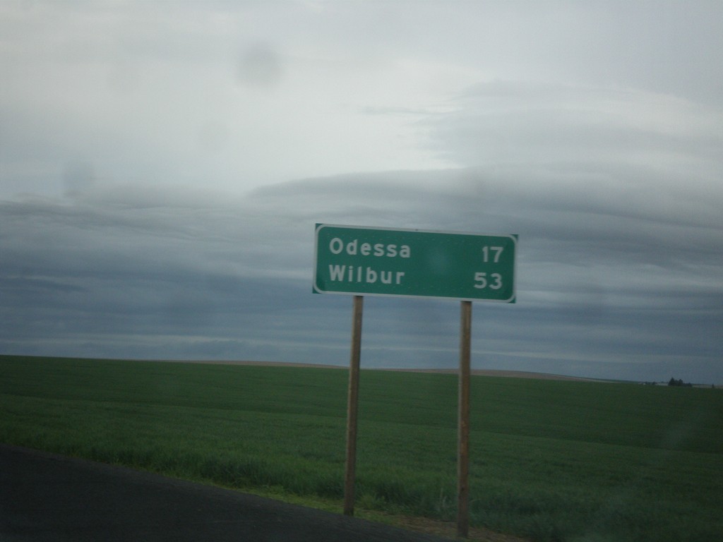
WA-21 North - Distance Marker
Distance Marker on WA-21 North. Distance to Odessa and Wilbur.
Taken 04-30-2018
 Ritzville
Adams County
Washington
United States
Ritzville
Adams County
Washington
United States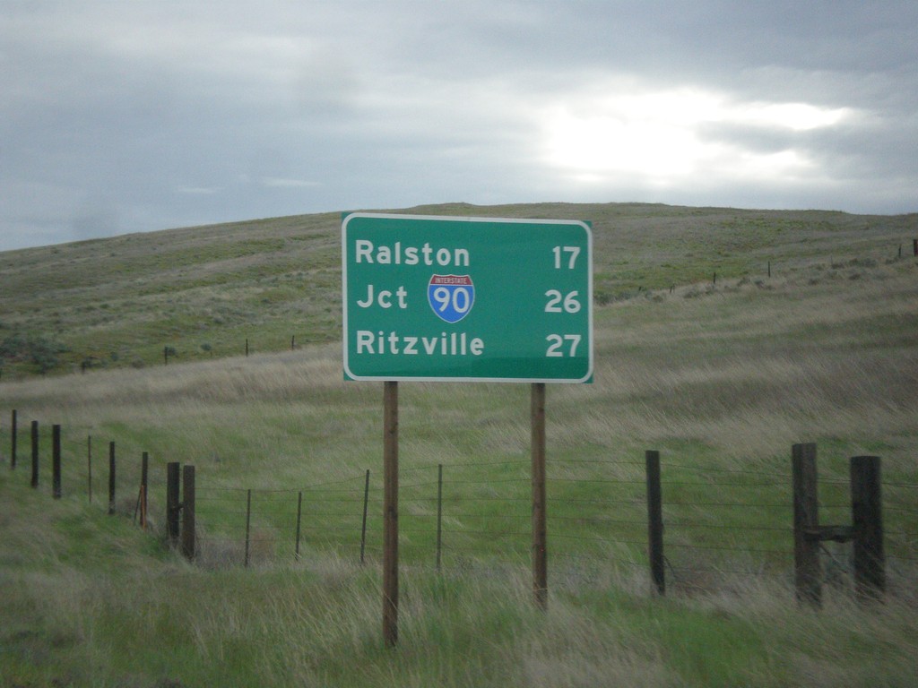
WA-261 North - Distance Marker
Distance marker on WA-261 north. Distance to Ralston, Jct. I-90, and Ritzville.
Taken 04-30-2018

 Washtucna
Adams County
Washington
United States
Washtucna
Adams County
Washington
United States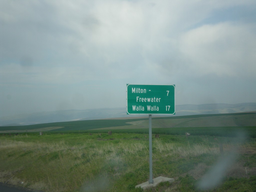
OR-11 North - Distance Marker
Distance marker on OR-11 north. Distance to Milton-Freewater and Walla Walla (Washington).
Taken 04-29-2018
 Weston
Umatilla County
Oregon
United States
Weston
Umatilla County
Oregon
United States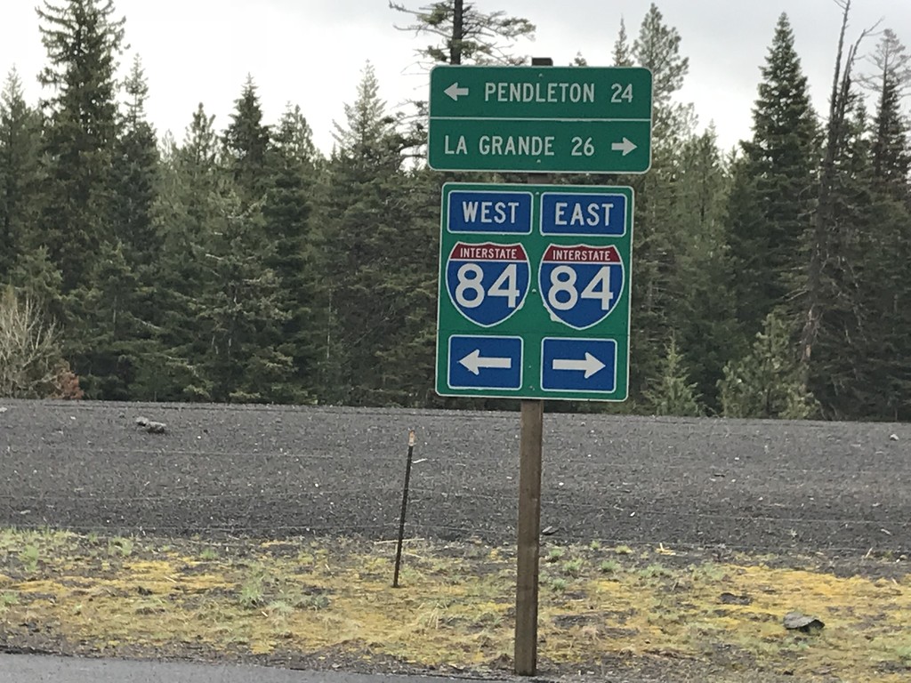
Emigrant Springs State Park Road at Frontage Road
Emigrant Springs State Park Road at Frontage Road. Turn right for access to I-84 east to La Grande; left for access to I-84 west to Pendleton.
Taken 04-29-2018
 Meacham
Umatilla County
Oregon
United States
Meacham
Umatilla County
Oregon
United States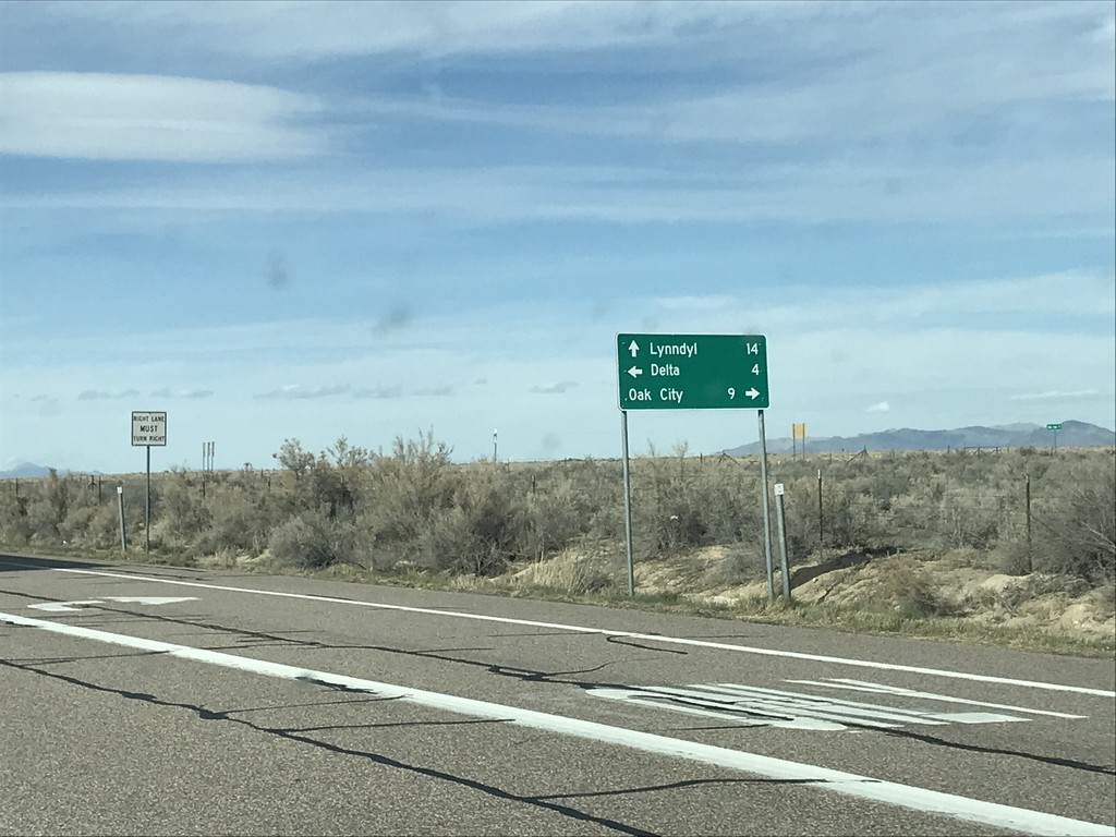
US-50 West at UT-125 and UT-136
US-50 West at UT-125 and UT-136 junction. Turn right for UT-125 east to Oak City. Continue straight for UT-136 north to Lynndyl. Turn left to continue west on US-50 towards Delta.
Taken 03-30-2018


 Delta
Millard County
Utah
United States
Delta
Millard County
Utah
United States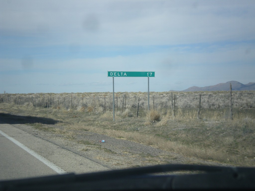
US-50 West - Distance Marker
Distance marker on US-50 west. Distance to Delta.
Taken 03-29-2018
Delta
Millard County
Utah
United States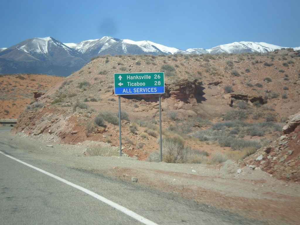
UT-95 West at UT-276
UT-95 west at UT-276 to Ticaboo. Continue west on UT-95 for Blanding.
Taken 03-29-2018

 Lake Powell
Garfield County
Utah
United States
Lake Powell
Garfield County
Utah
United States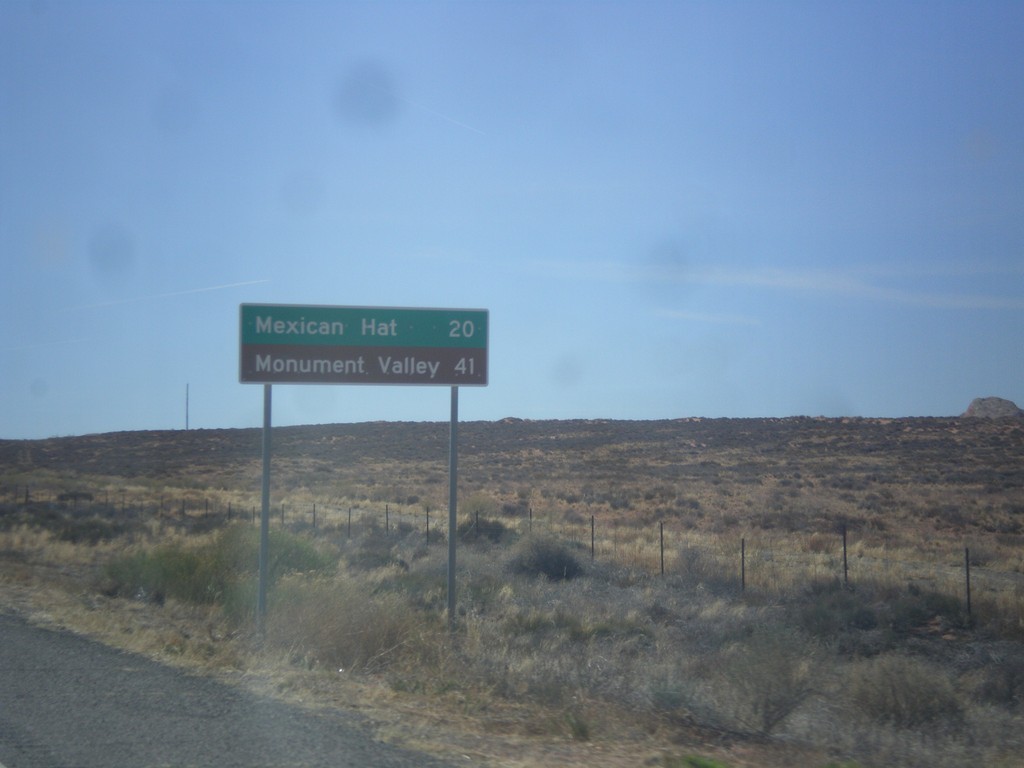
US-163 West - Distance Marker
First distance marker along US-163 west. Distance to Mexican Hat and Monument Valley (Navajo Tribal Park).
Taken 03-28-2018
 Bluff
San Juan County
Utah
United States
Bluff
San Juan County
Utah
United States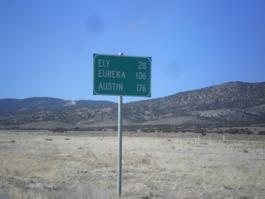
US-6/US-50 West - Distance Marker
Distance marker on US-6/US-50 west. Distance to Ely, Eureka, and Austin.
Taken 02-13-2018
 Majors Place
White Pine County
Nevada
United States
Majors Place
White Pine County
Nevada
United States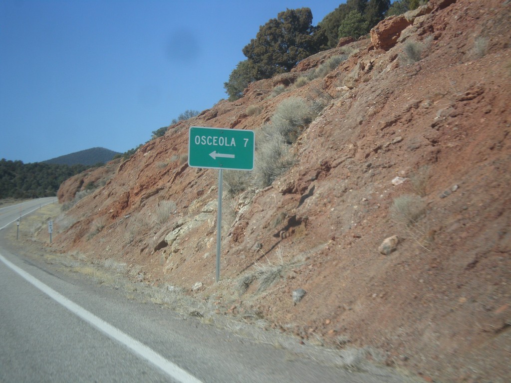
US-6/US-50 West - Osceola Jct.
US-6/US-50 West at Osceola Jct.
Taken 02-13-2018
Baker
White Pine County
Nevada
United States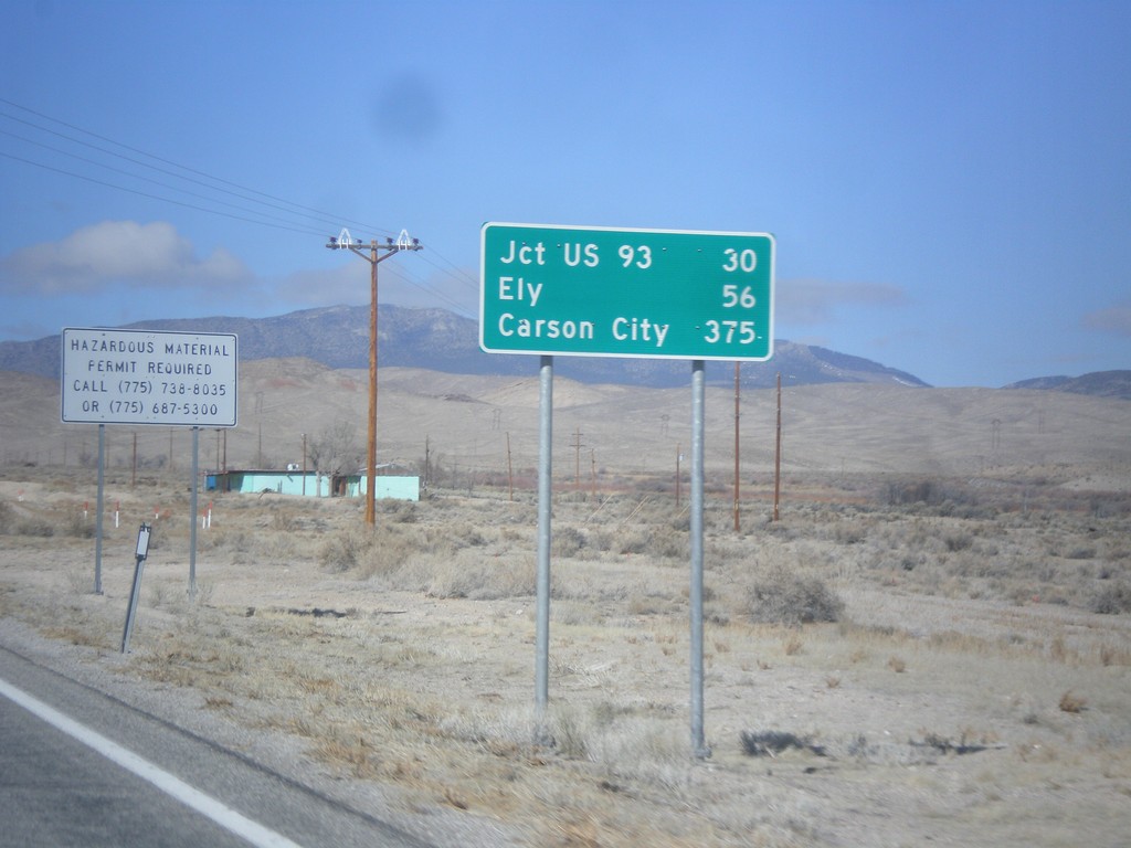
US-6/US-50 West - Distance Marker
Distance Marker on US-6/US-50 west. Distance to Jct. US-93, Ely, and Carson City (via US-50).
Taken 02-13-2018
Baker
White Pine County
Nevada
United States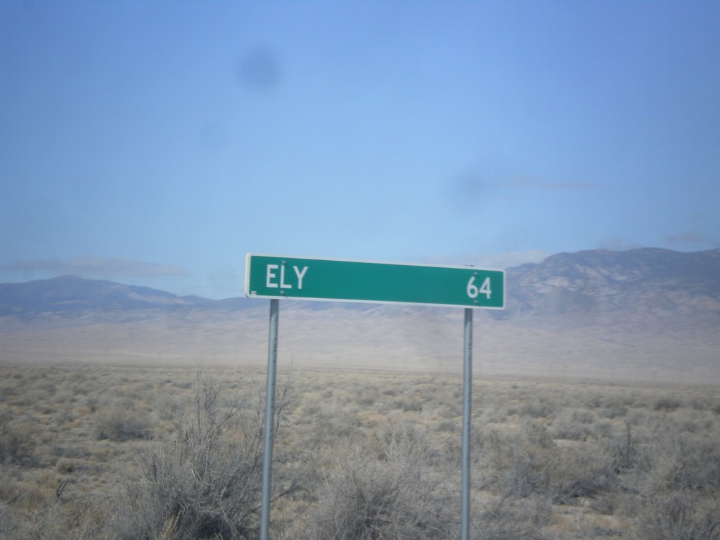
US-6/US-50 West - Distance Marker
Distance marker on US-6/US-50 West. Distance to Ely (Nevada). This is the last distance marker along US-6/US-50 west in Utah.
Taken 02-13-2018
Garrison
Millard County
Utah
United States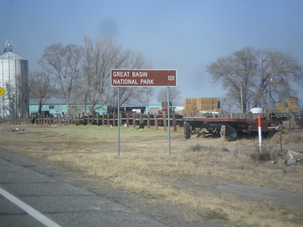
US-6/US-50 West - Distance Marker
Distance marker on US-6/US-50 west. Distance to Great Basin National Park. Great Basin National Park is in Baker, Nevada.
Taken 02-13-2018
Hinckley
Millard County
Utah
United States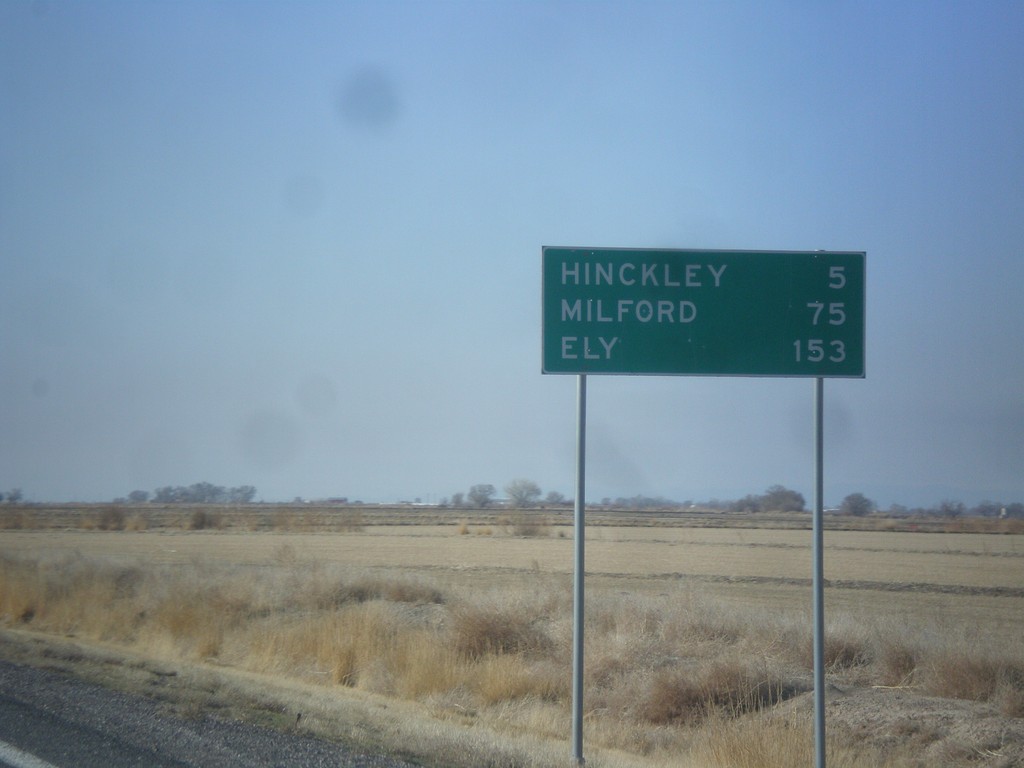
US-6/US-50 West - Distance Marker
Distance marker on US-6/US-50 west. Distance to Hinckley, Milford (via UT-257), and Ely (Nevada).
Taken 02-13-2018
Delta
Millard County
Utah
United States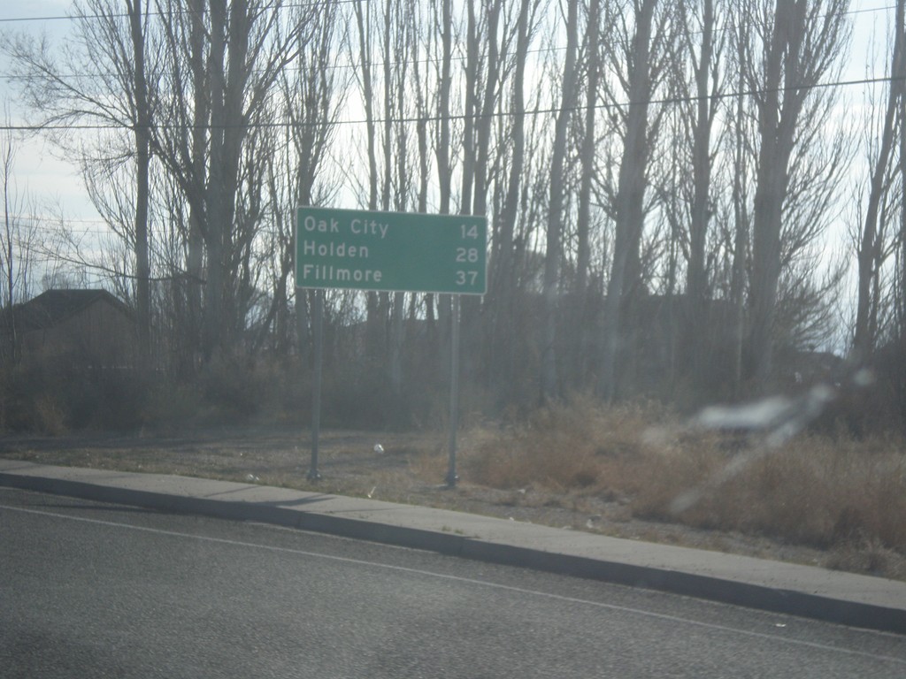
US-50 East - Distance Marker
Distance marker on US-50 east. Distance to Oak City, Holden, and Fillmore.
Taken 02-13-2018
Delta
Millard County
Utah
United States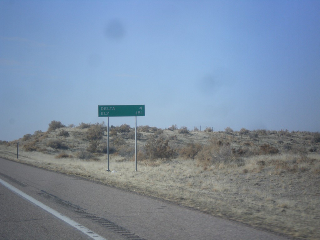
US-6 West - Distance Marker
Distance marker on US-6 west. Distance to Delta and Ely (Nevada).
Taken 02-13-2018
Delta
Millard County
Utah
United States