Signs Tagged With Distance Marker
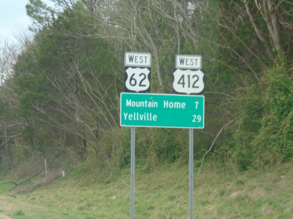
US-62/US-412 West - Distance Marker
Distance Marker on US-62/US-412 West. Distance to Mountain Home and Yellville.
Taken 03-27-2026

 Mountain Home
Baxter County
Arkansas
United States
Mountain Home
Baxter County
Arkansas
United States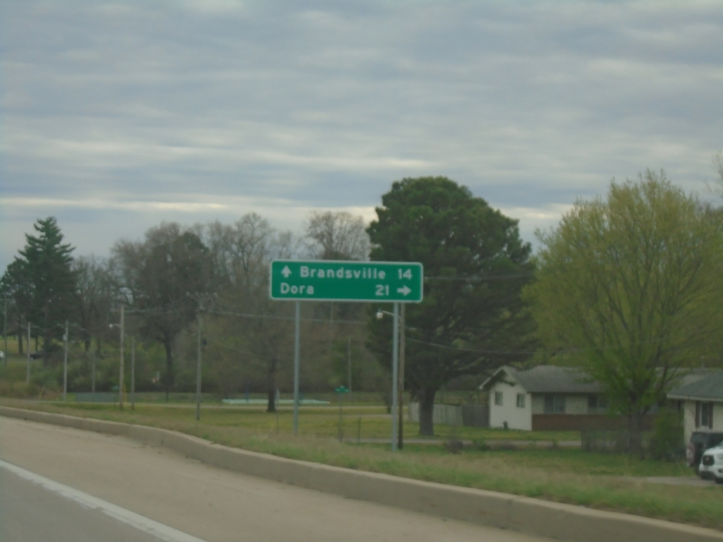
US-63 South Approaching US-160/MO-17/MO-CC
US-63 South Approaching US-160/MO-17/MO-CC in West Plains. Use MO-CC to Dora; continue south on US-63 to Brandsville.
Taken 03-27-2026


 West Plains
Howell County
Missouri
United States
West Plains
Howell County
Missouri
United States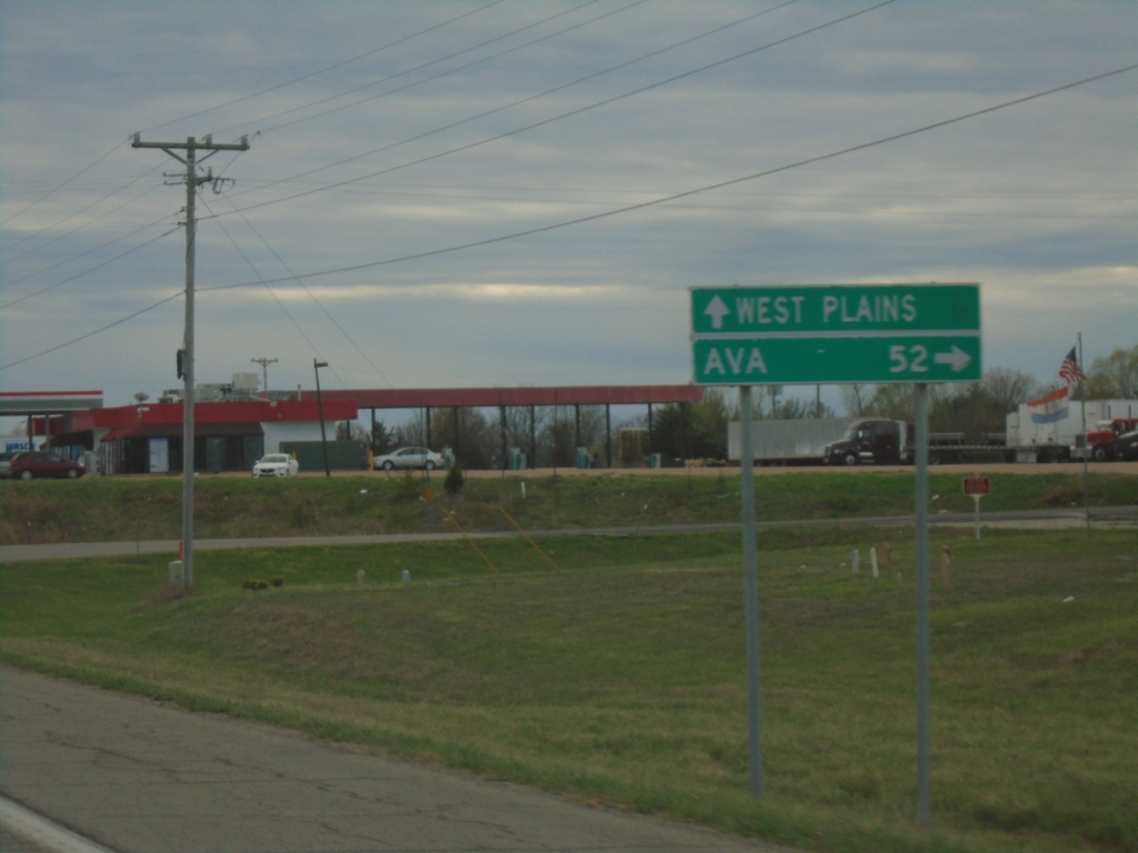
US-63 South at MO-14
US-63 South at MO-14 East to Ava. Continue south on US-63 to West Plains.
Taken 03-27-2026
 Dry Creek
Howell County
Missouri
United States
Dry Creek
Howell County
Missouri
United States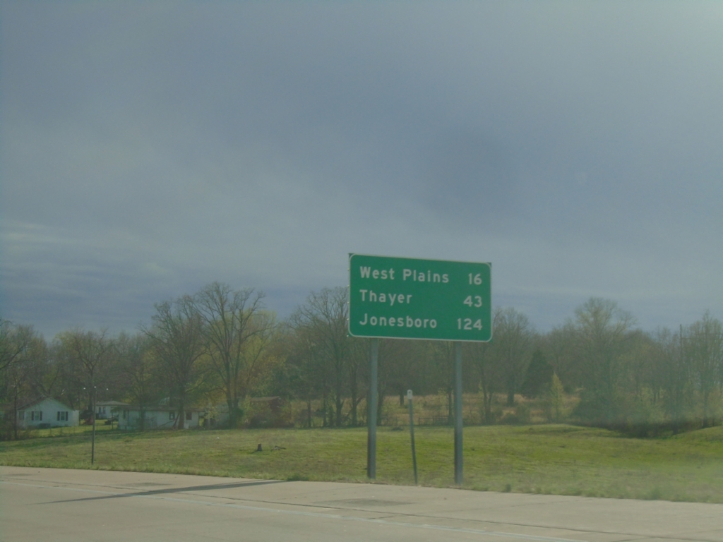
US-63 South - Distance Marker
Distance marker on US-63 south. Distance to West Plains, Thayer, and Jonesboro (Arkansas).
Taken 03-27-2026
Willow Springs
Howell County
Missouri
United States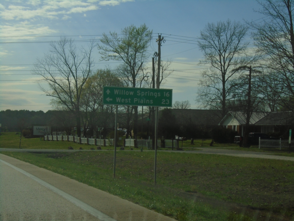
US-60 West/MO-17 South at US-60/MO-17 Split
US-60 West/MO-17 South at US-60/MO-17 split in Mountain View. Use MO-17 South to West Plains; continue west on US-60 for Willow Springs.
Taken 03-27-2026
 Mountain View
Howell County
Missouri
United States
Mountain View
Howell County
Missouri
United States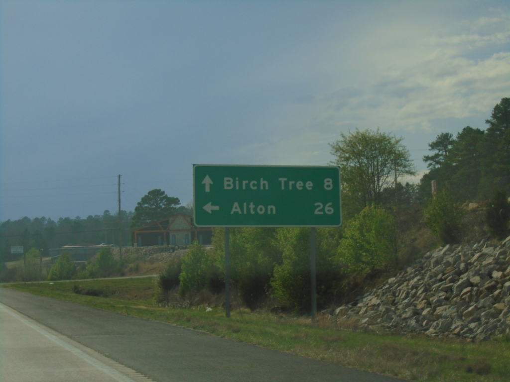
US-60 West/MO-19 South at Split
US-60 West/MO-19 South at US-60/MO-19 split in Winona. Use MO-19 south to Alton; continue west on US-60 for Birch Tree.
Taken 03-27-2026
 Winona
Shannon County
Missouri
United States
Winona
Shannon County
Missouri
United States
US-60 West/MO-19 South - Distance Marker
Distance Marker on US-60 West/MO-19 South. Distance to Birch Tree, Willow Springs, and Springfield.
Taken 03-27-2026
Winona
Shannon County
Missouri
United States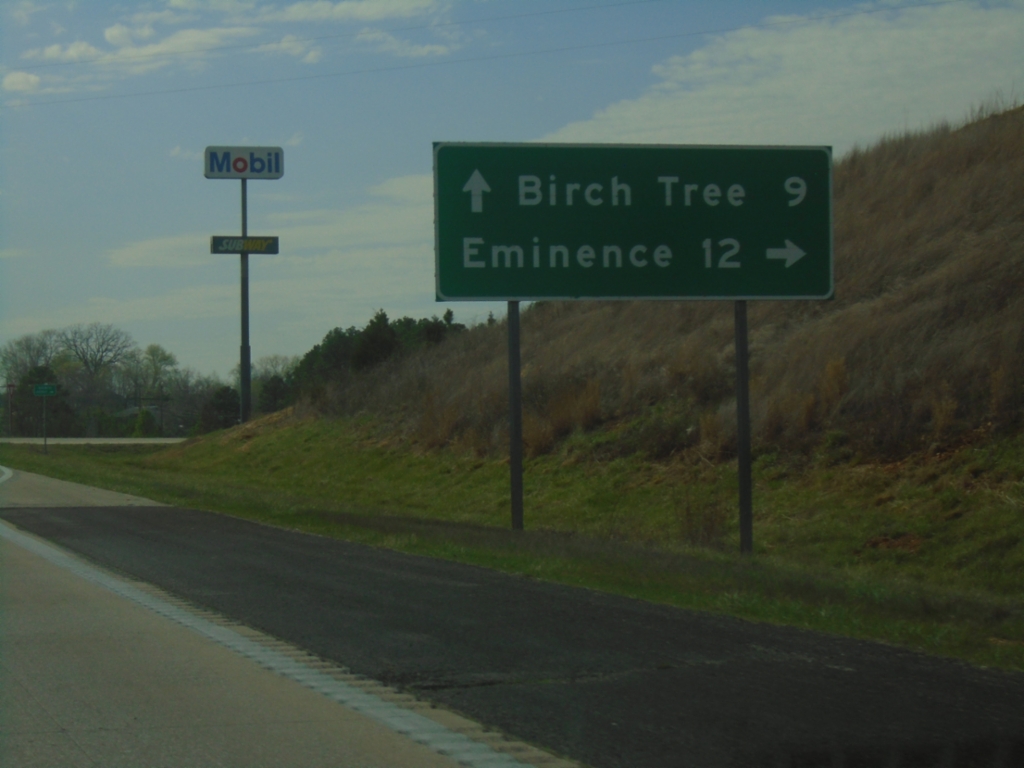
US-60 West at MO-19 North
US-60 west at MO-19 north in Winona. Use MO-19 north to Eminence. Continue west on US-60 for Birch Tree.
Taken 03-27-2026
Winona
Shannon County
Missouri
United States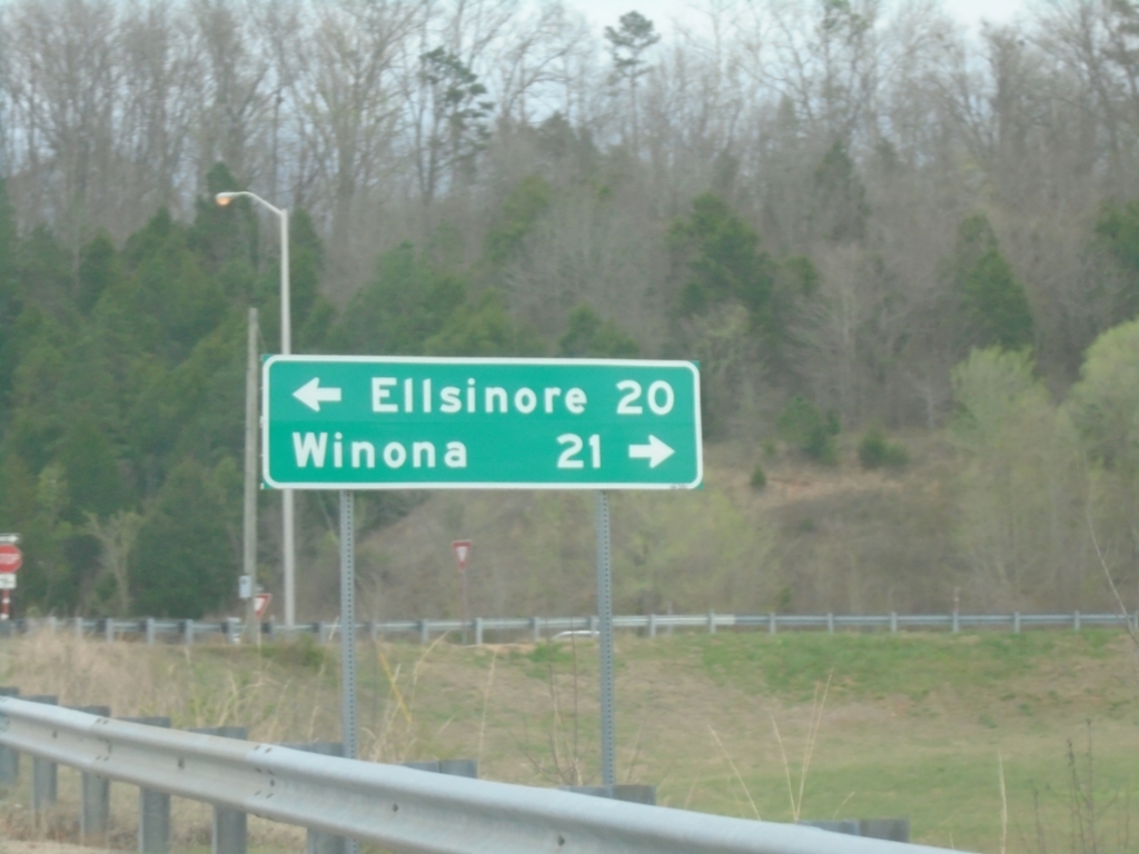
Bus. US-60 West Approaching US-60
Bus. US-60 West approaching US-60 in Van Buren. Use US-60 East to Ellsinore; US-60 West to Winona.
Taken 03-27-2026
 Van Buren
Carter County
Missouri
United States
Van Buren
Carter County
Missouri
United States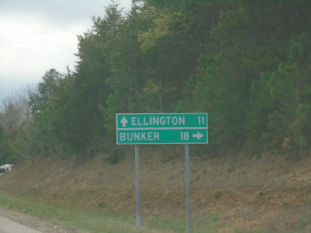
MO-21/MO-72 South at Route Split
MO-21/MO-72 South at MO-21/MO-72 split. Turn right for MO-72 South to Bunker; continue on MO-21 south to Ellington.
Taken 03-27-2026

 Centerville
Reynolds County
Missouri
United States
Centerville
Reynolds County
Missouri
United States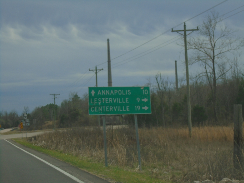
MO-21/MO-72 South Approaching MO-49
MO-21/MO-72 South approaching MO-49 in Iron County. Use MO-49 south to Annapolis; MO-49 North/MO-21/MO-72 South to Lesterville and Centerville. The smokestacks in the background are part of the Doe Run Company lead smelter.
Taken 03-27-2026
 Liberty
Iron County
Missouri
United States
Liberty
Iron County
Missouri
United States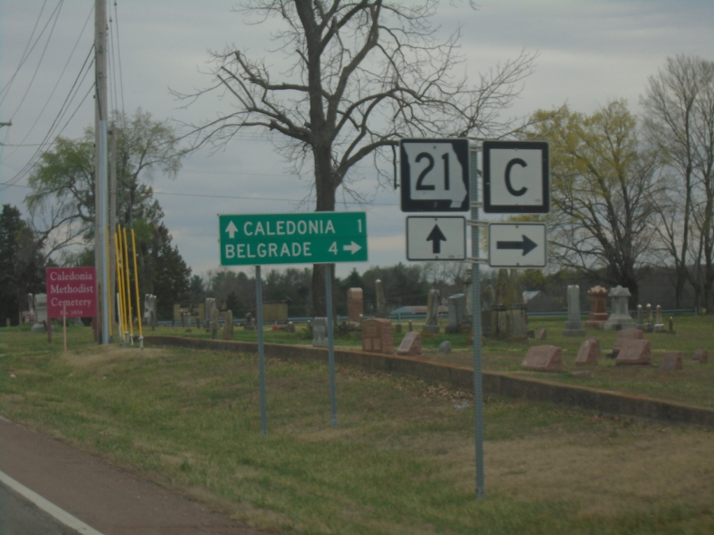
MO-21 South at MO-C
MO-21 South at MO-C in Washington County. Use MO-C West to Belgrade. Continue south on MO-21 for Caledonia.
Taken 03-27-2026
 Caledonia
Washington County
Missouri
United States
Caledonia
Washington County
Missouri
United States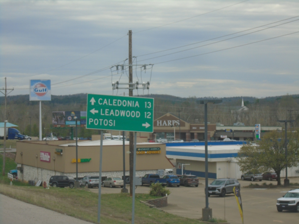
MO-21 South Approaching MO-8
MO-21 South approaching MO-8 in Potosi. Use MO-8 East to Leadwood; MO-8 West to Potosi. Continue south on MO-21 to Caledonia.
Taken 03-27-2026
 Potosi
Washington County
Missouri
United States
Potosi
Washington County
Missouri
United States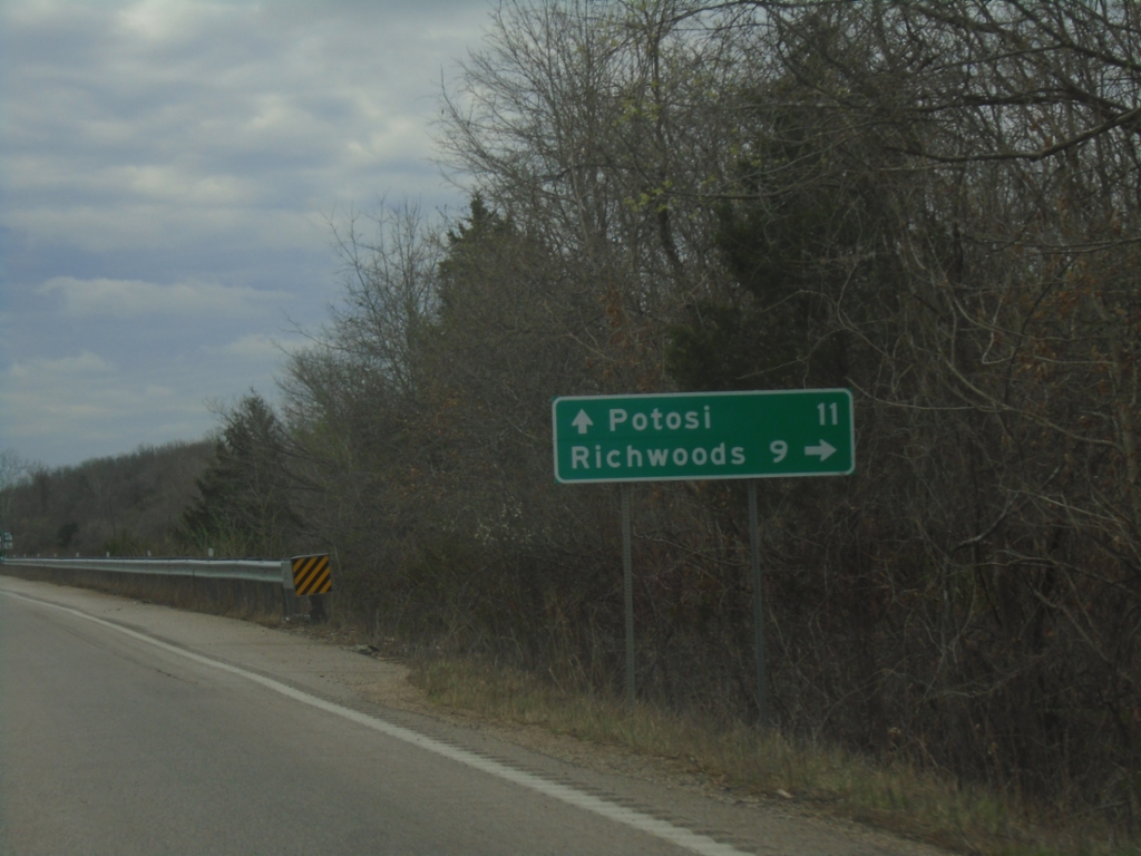
MO-21 South Approaching MO-47
MO-21 South approaching MO-47 North to Richwoods. MO-47 South joins MO-21 South towards Potosi.
Taken 03-27-2026
 Cadet
Washington County
Missouri
United States
Cadet
Washington County
Missouri
United States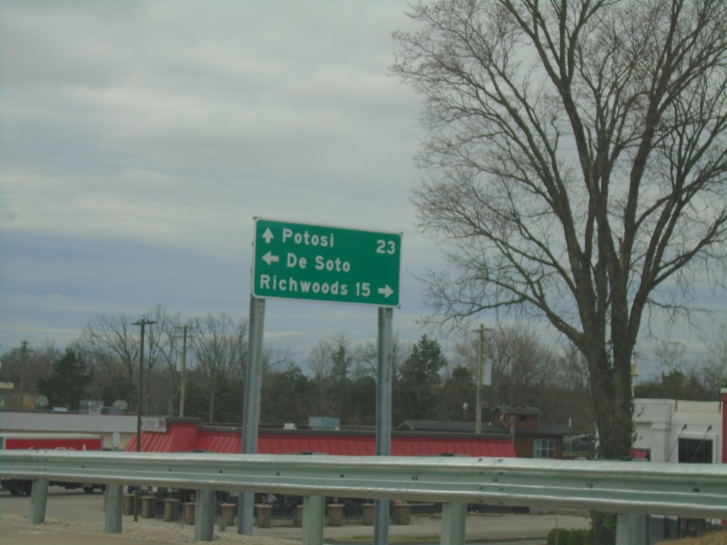
MO-21 South at MO-Y
MO-21 South at MO-Y in De Soto. Turn right for Richwoods; left for De Soto. Continue south on MO-21 for Potosi.
Taken 03-27-2026
 De Soto
Jefferson County
Missouri
United States
De Soto
Jefferson County
Missouri
United States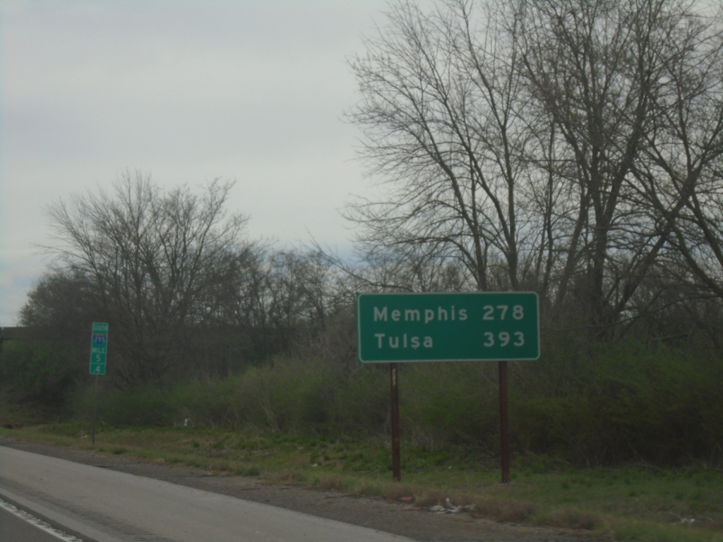
I-255 South - Distance Marker
Last distance marker in Illinois on I-255 South. Distance to Memphis (Tennessee via I-55) and Tulsa (Oklahoma via I-44).
Taken 03-27-2026

 Columbia
Monroe County
Illinois
United States
Columbia
Monroe County
Illinois
United States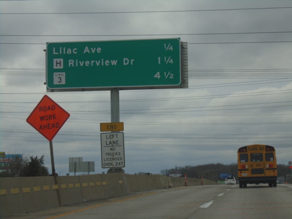
I-270 East - Distance Marker
Distance marker on I-270 east. Distance to Lilac Ave., MO-H/Riverview Drive, and IL-3.
Taken 03-27-2026


 Larimore
St. Louis County
Missouri
United States
Larimore
St. Louis County
Missouri
United States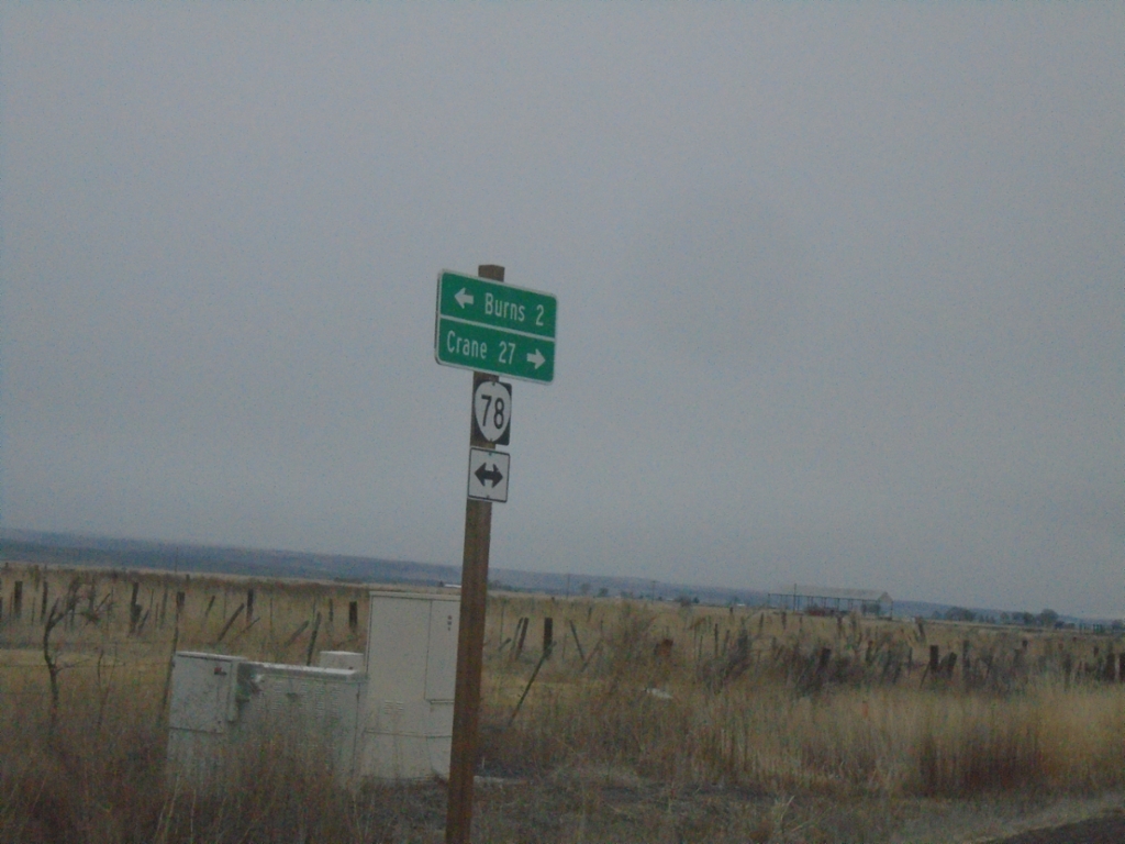
End OR-205 North at OR-78
End OR-205 North at OR-78 in Harney County. Turn right for OR-78 East to Crane; left for OR-78 West to Burns.
Taken 02-16-2026

 Burns
Harney County
Oregon
United States
Burns
Harney County
Oregon
United States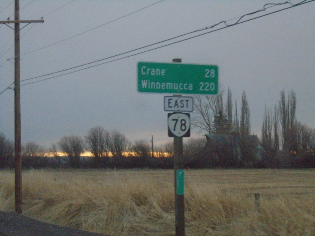
OR-78 East - Distance Marker
Distance marker on OR-78 east. Distance to Crane and Winnemucca (Nevada).
Taken 02-16-2026
Burns
Harney County
Oregon
United States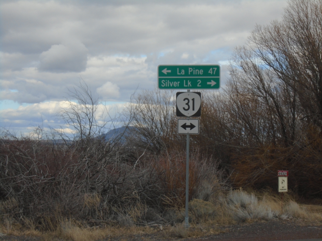
End Silver Creek Marsh Road at OR-31
End Silver Creek Marsh Road at OR-31. Turn right on OR-31 for Silver Lake. Turn left on OR-31 for La Pine.
Taken 02-15-2026
 Silver Lake
Lake County
Oregon
United States
Silver Lake
Lake County
Oregon
United States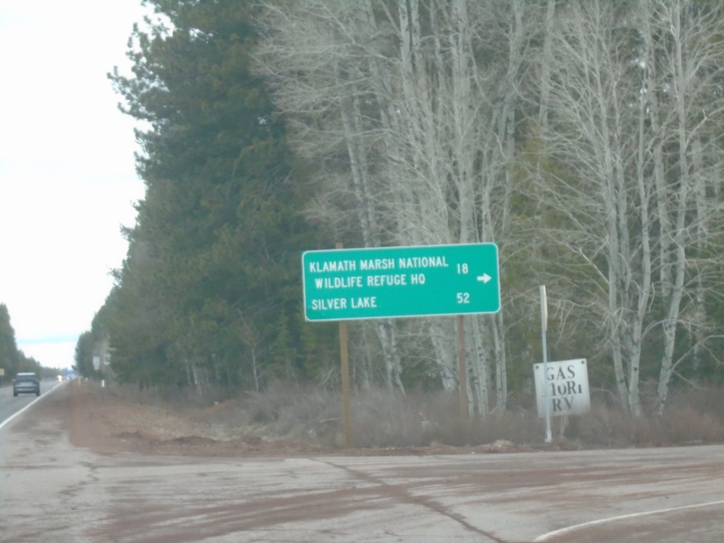
US-97 North - Silver Lake Road
US-97 north at Silver Lake Road. Use Silver Lake Road for Klamath Marsh National Wildlife Refuge HQ and Silver Lake.
Taken 02-15-2026
 Chiloquin
Klamath County
Oregon
United States
Chiloquin
Klamath County
Oregon
United States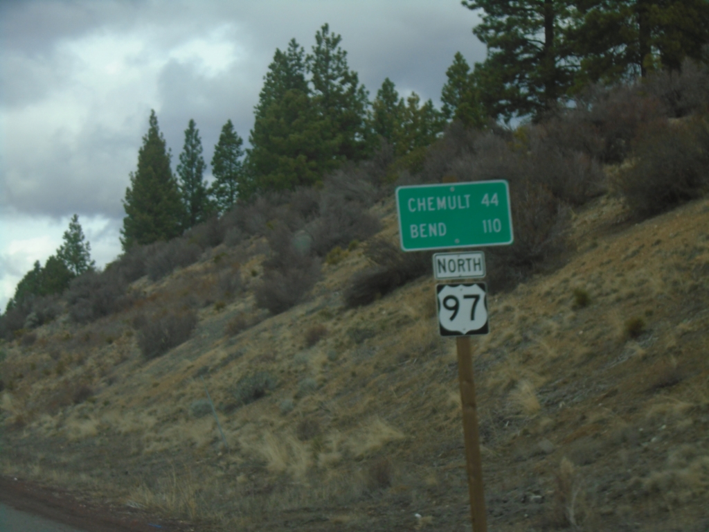
US-97 North - Distance Marker
Distance marker on US-97 north. Distance to Chemult and Bend.
Taken 02-15-2026
Chiloquin
Klamath County
Oregon
United States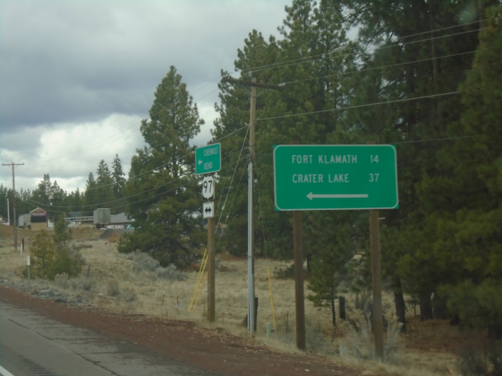
US-97 North at OR-62
US-97 North at OR-62 in Klamath County. Use OR-62 for Fort Klamath and Crater Lake.
Taken 02-15-2026
 Chiloquin
Klamath County
Oregon
United States
Chiloquin
Klamath County
Oregon
United States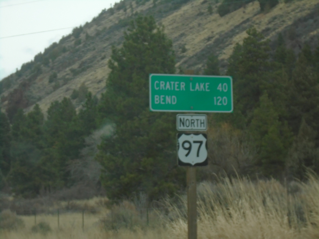
US-97 North - Distance Marker
Distance marker on US-97 north. Distance to Crater Lake and Bend.
Taken 02-15-2026
Modoc Point
Klamath County
Oregon
United States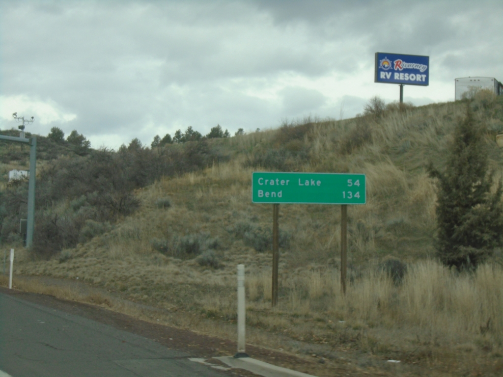
US-97 North - Distance Marker
Distance marker on US-97 north. Distance to Crater Lake and Bend.
Taken 02-15-2026
Klamath Falls
Klamath County
Oregon
United States