Signs Tagged With Distance Marker
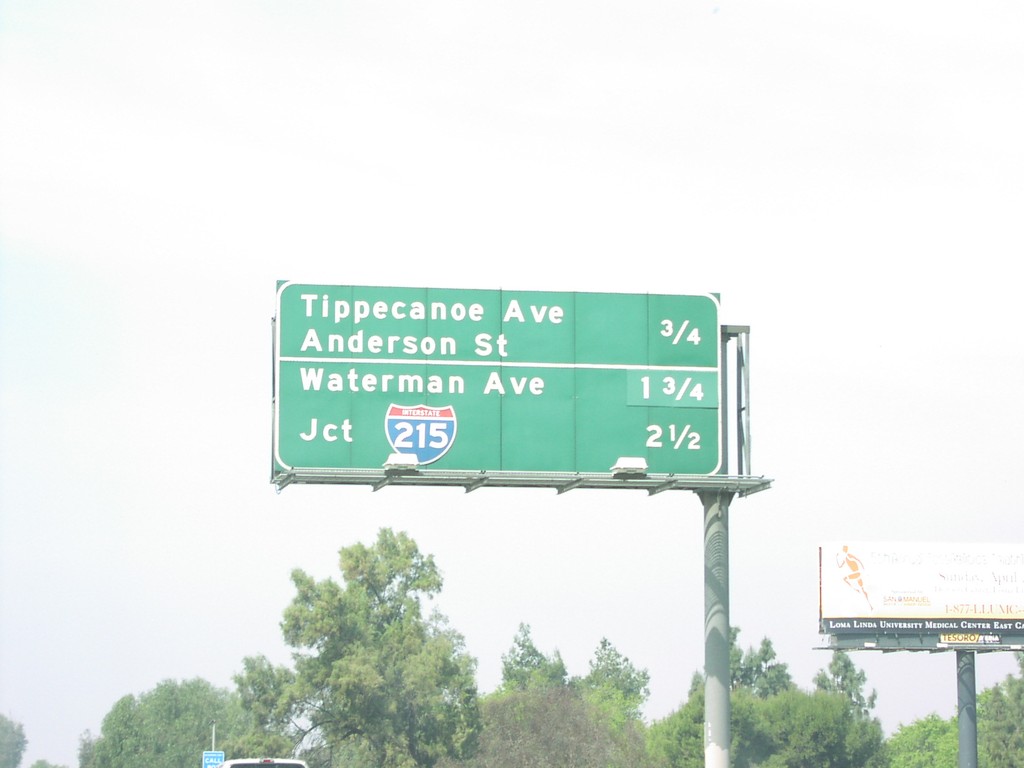
I-10 West - San Bernardino Exits
Next three exits on I-10 west in Loma Linda, and San Bernardino.
Taken 03-01-2007

 Loma Linda
San Bernardino County
California
United States
Loma Linda
San Bernardino County
California
United States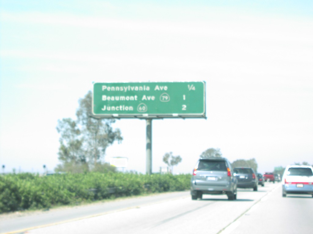
I-10 West - Beaumont Exits
Next three Beaumont exits on I-10 west.
Taken 03-01-2007
Beaumont
Riverside County
California
United States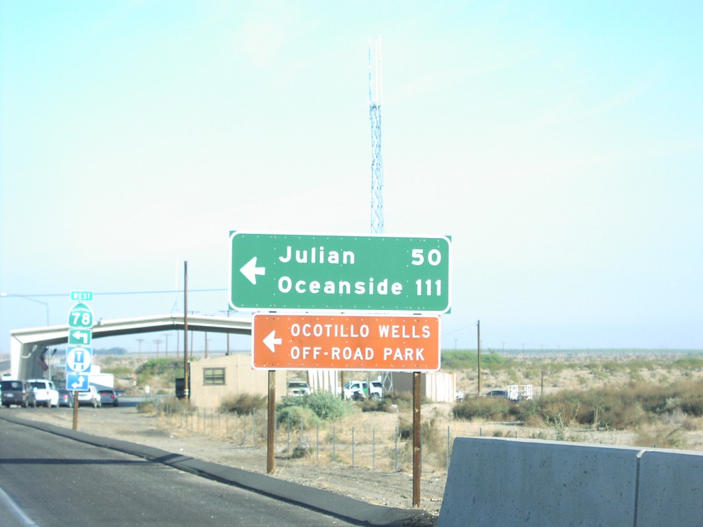
CA-86 North/CA-78 West at CA-78 West
CA-86 North/CA-78 West at CA-78 West to Oceanside and Julian. Border Patrol Checkpoint in background.
Taken 03-01-2007

 Borrego Springs
Imperial County
California
United States
Borrego Springs
Imperial County
California
United States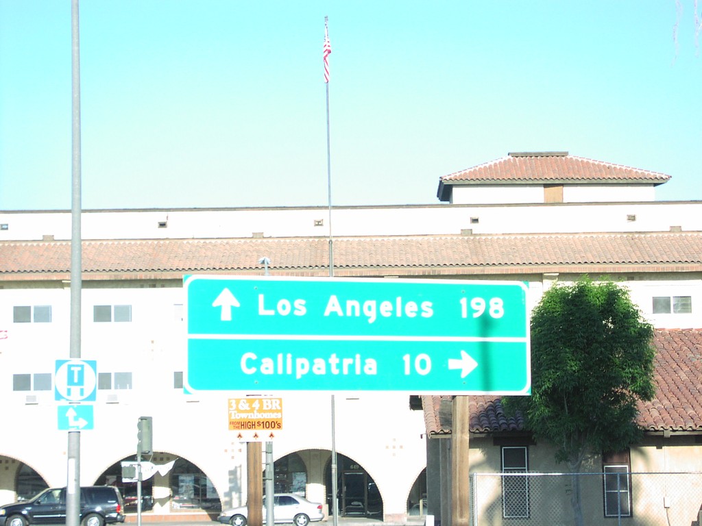
CA-78 East/CA-111 North at Split
CA-111 North/CA-78 West at CA-111 (to Calipatria)/CA-78 (to Los Angeles) split in Brawley.
Taken 03-01-2007
 Brawley
Imperial County
California
United States
Brawley
Imperial County
California
United States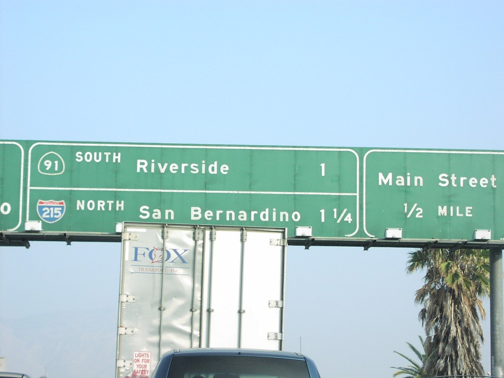
CA-60 East Exits 53AB and 52B
CA-60 east approaching Exit 52B - Main St., Exit 53A - CA-91 South/Riverside, and Exit 53B - I-215 North/San Bernardino.
Taken 03-01-2007

 Riverside
 County
California
United States
Riverside
Riverside County
California
United States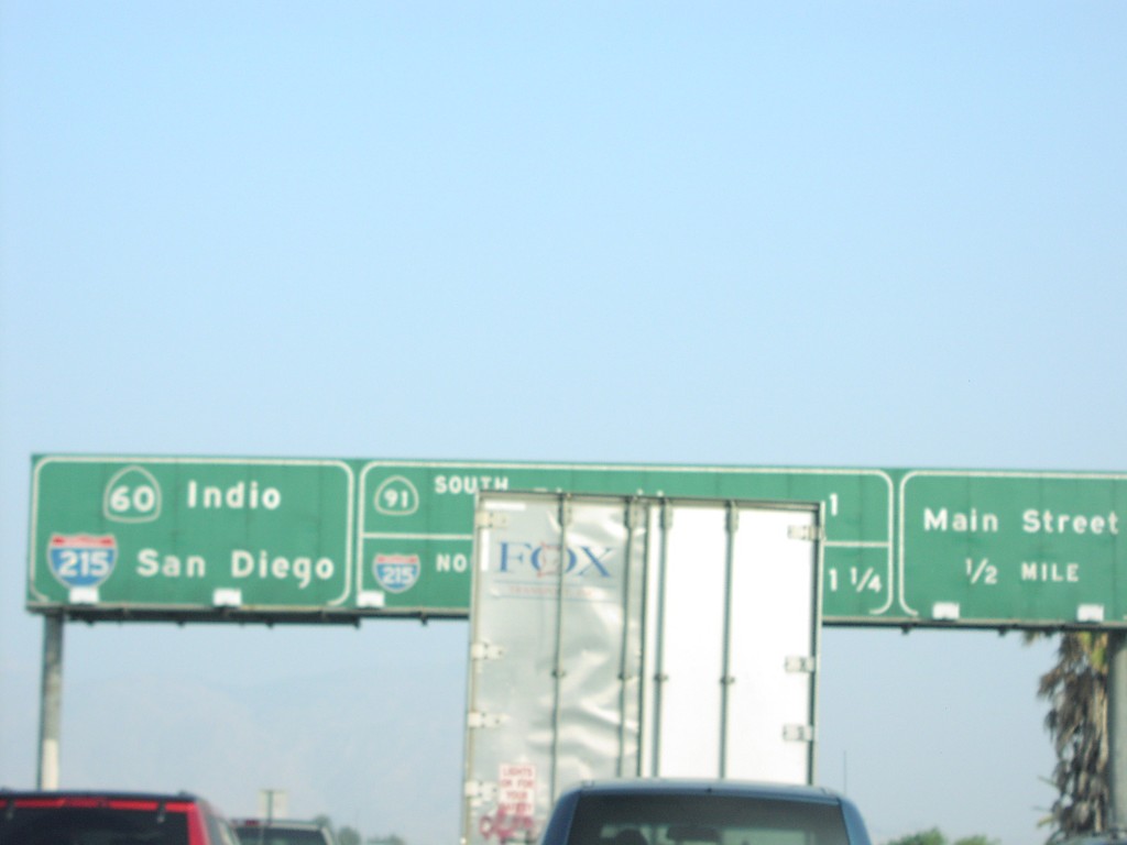
CA-60 East Exit 52B
CA-60 east approaching Exit 52B - Main St. and Exits 53AB CA-91/I-215
Taken 03-01-2007
Riverside
Riverside County
California
United States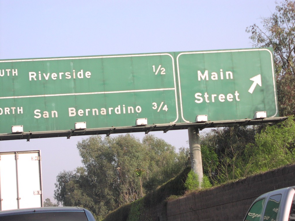
CA-60 East at Exit 52B and Exits 53AB
CA-60 east at Main St. Approaching CA-91/Riverside, and I-215 north to San Bernardino. CA-60 and I-215 are multiplexed east through Riverside.
Taken 03-01-2007
Riverside
Riverside County
California
United States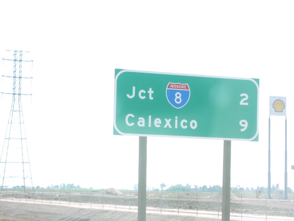
CA-111 South - Distance Marker
CA-111 south of Evan Hewes Hwy., to I-8 and Calexico.
Taken 03-01-2007
El Centro
Imperial County
California
United States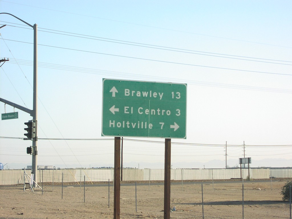
CA-111 North at Evan Hewes Highway
CA-111 north to Brawley, at Evan Hewes Highway, west to El Centro, and east to Holtville.
Taken 03-01-2007
El Centro
Imperial County
California
United States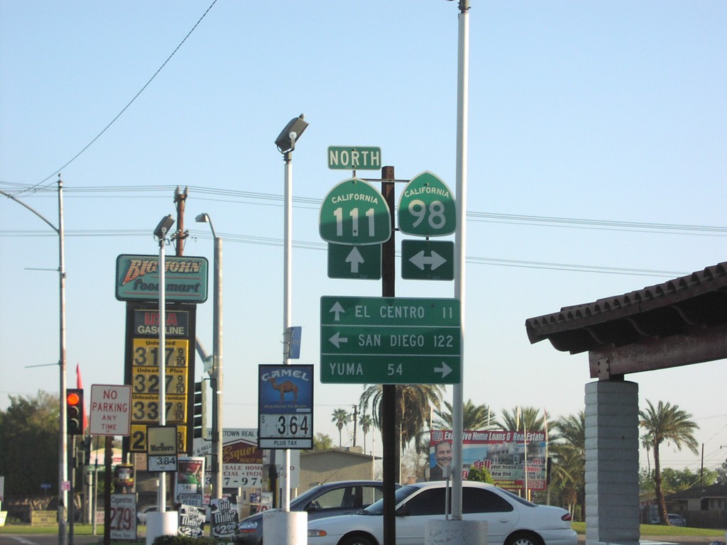
CA-111 North at CA-98
CA-111 north to El Centro, at CA-98 east Yuma, and west to San Diego. CA-98 parallels the southern border of California.
Taken 03-01-2007
 Calexico
Imperial County
California
United States
Calexico
Imperial County
California
United States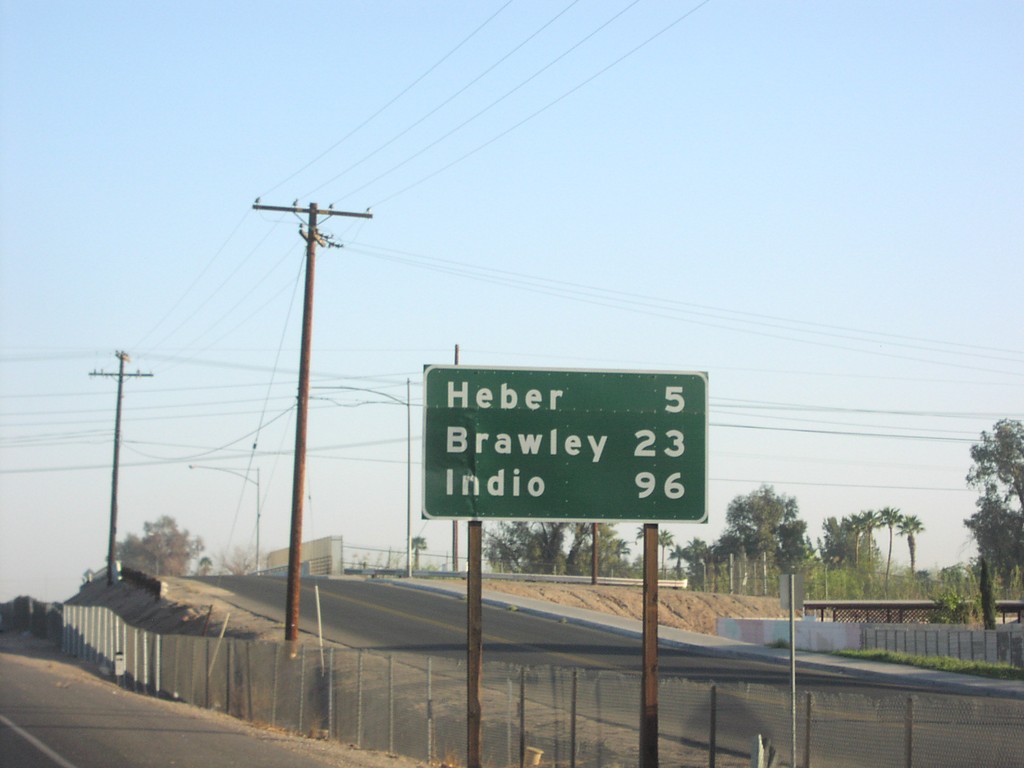
CA-111 North - Distance Marker
CA-111 north to Heber, Brawley, and Indio, north of CA-98.
Taken 03-01-2007
Calexico
Imperial County
California
United States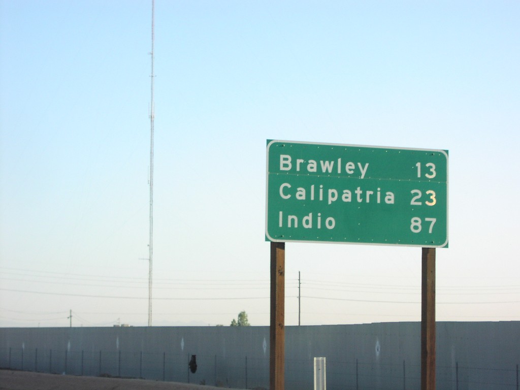
CA-111 North - Distance Marker
CA-111 north to Brawley, Calipatria, and Indio, just north of Evan Hewes Hwy.
Taken 03-01-2007
El Centro
Imperial County
California
United States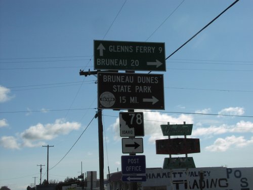
BL-84 East at ID-78
BL-84 east at ID-78 south to Bruneau, and Bruneau Dunes State Park. ID-78 follows the south side of the Snake River to Marsing.
Taken 03-01-2007

 Hammett
Elmore County
Idaho
United States
Hammett
Elmore County
Idaho
United States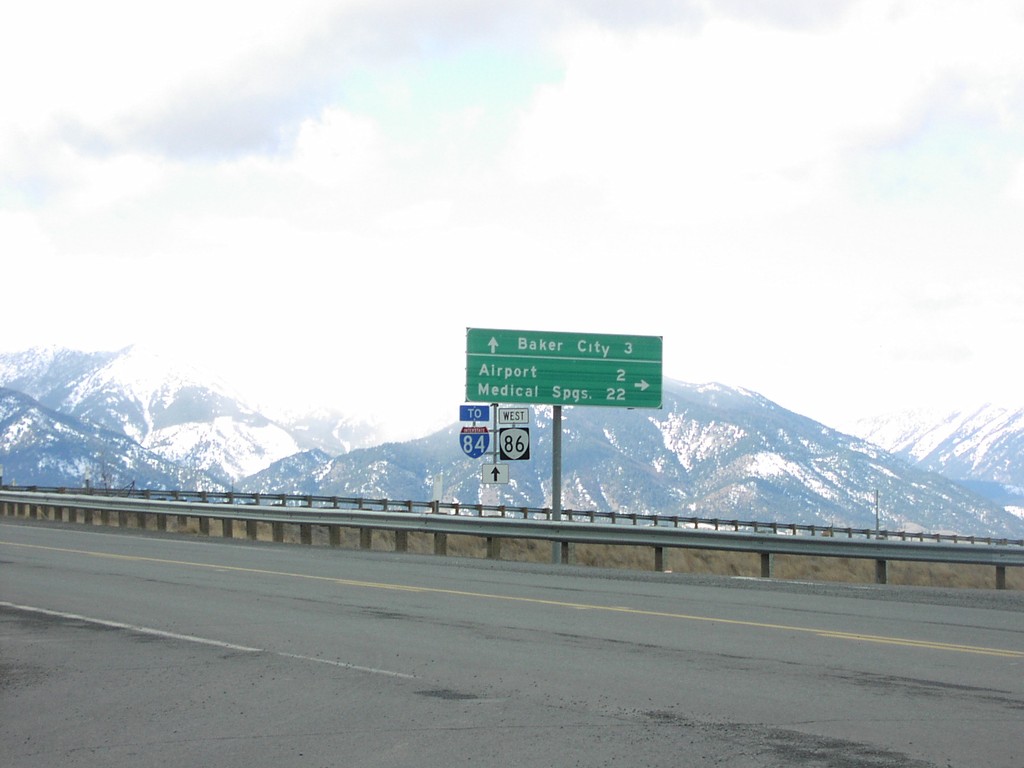
OR-86 West at I-84
OR-86 west at OR-203 (not signed) to Medical Springs and Airport.
Taken 02-01-2007

 Baker City
Baker County
Oregon
United States
Baker City
Baker County
Oregon
United States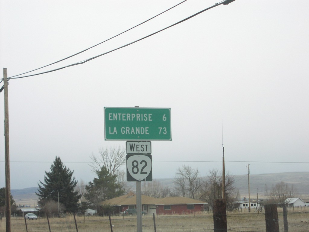
OR-82 West - Distance Marker
Distance marker on OR-82 west to Enterprise and La Grande.
Taken 02-01-2007
 Joseph
Wallowa County
Oregon
United States
Joseph
Wallowa County
Oregon
United States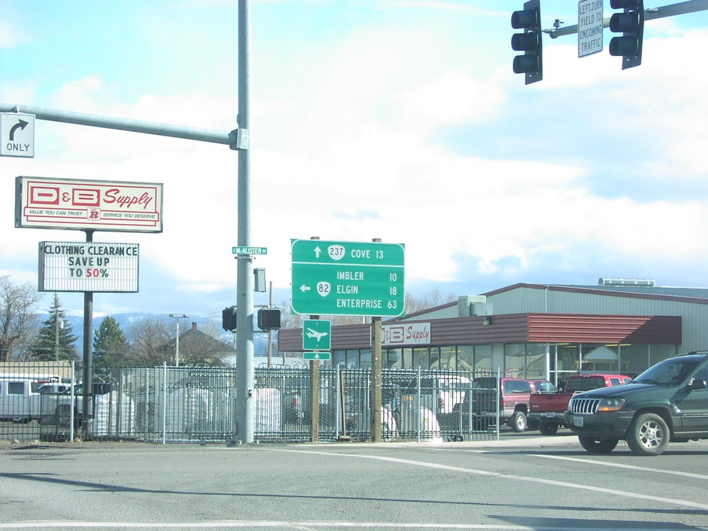
OR-82 East at OR-237
OR-82 east at OR-237 to Cove.
Taken 02-01-2007
 Island City
Union County
Oregon
United States
Island City
Union County
Oregon
United States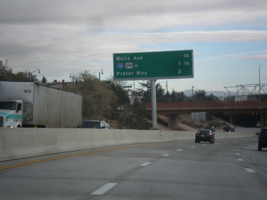
I-80 East - Reno/Sparks Exits
Next 3 Reno/Sparks exits on I-80 East: Wells Ave., I-580/US-395, Prater Way.
Taken 01-24-2007


 Reno
Washoe County
Nevada
United States
Reno
Washoe County
Nevada
United States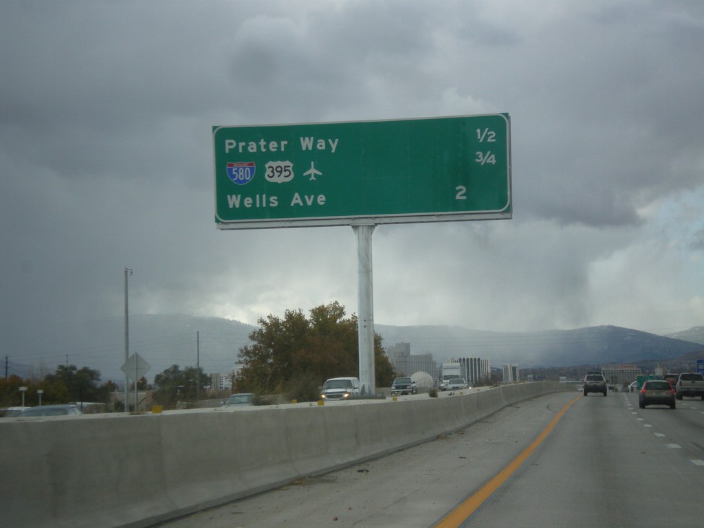
I-80 West - Distance Marker
Distance marker for next three Sparks/Reno area exits on I-80 west. Distance to Prater Way, US-395/I-580, Wells Ave.
Taken 01-21-2007
Sparks
Washoe County
Nevada
United States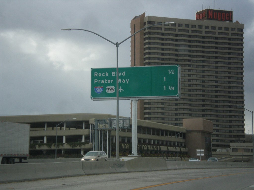
I-80 West - Distance Marker
Distance marker for next three Sparks/Reno exits on I-80 west: Rock Blvd., Prater Way, and US-395/I-580.
Taken 01-21-2007
Sparks
Washoe County
Nevada
United States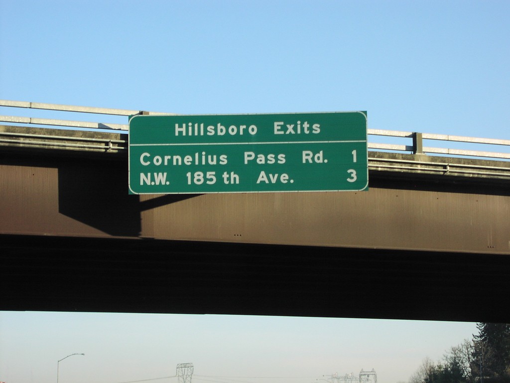
US-26 East - Hillsboro Exits
Distance marker overhead on US-26 east, Hillsboro Exits: Corneilus Pass Road/NW 185th Ave.
Taken 01-01-2007
 Hillsboro
Washington County
Oregon
United States
Hillsboro
Washington County
Oregon
United States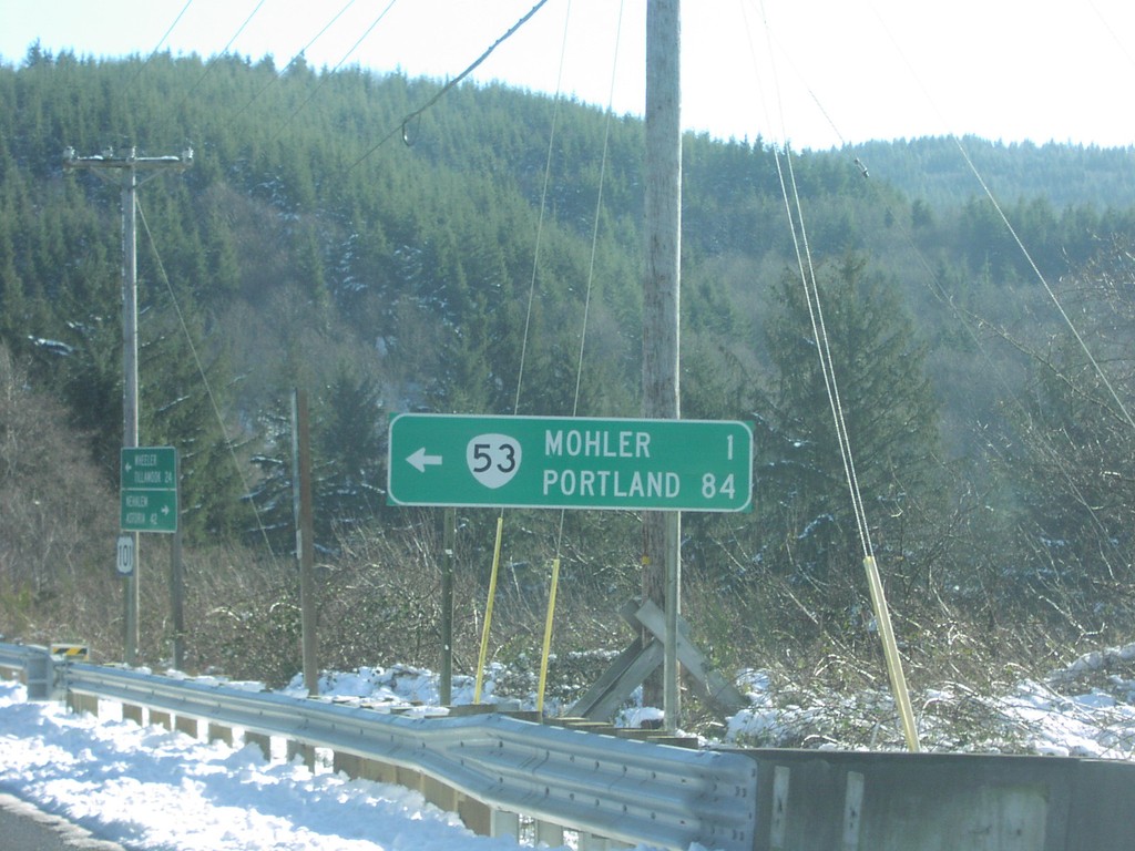
US-101 South at OR-53 North
US-101 south at OR-53 to Mohler and Portland.
Taken 01-01-2007

 Wheeler
Tillamook County
Oregon
United States
Wheeler
Tillamook County
Oregon
United States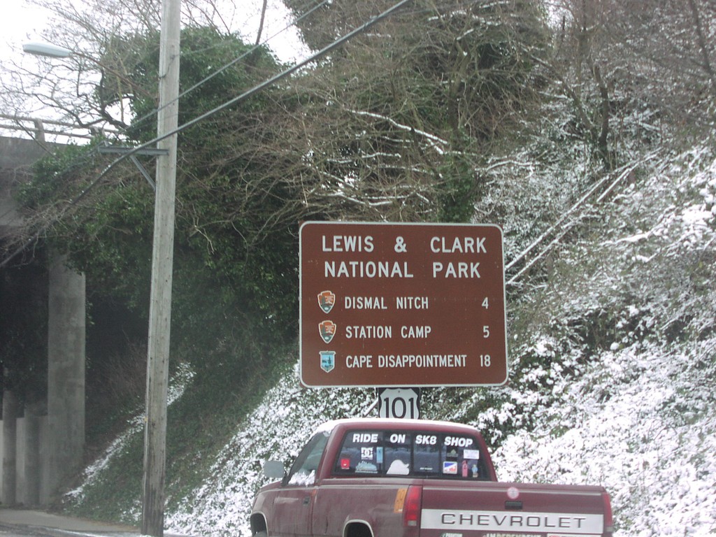
US-101 North at US-30 - Lewis and Clark NP
US-101 north approaching US-30 - Lewis and Clark National Park Sites on US-101 north.
Taken 01-01-2007
 Astoria
Clatsop County
Oregon
United States
Astoria
Clatsop County
Oregon
United States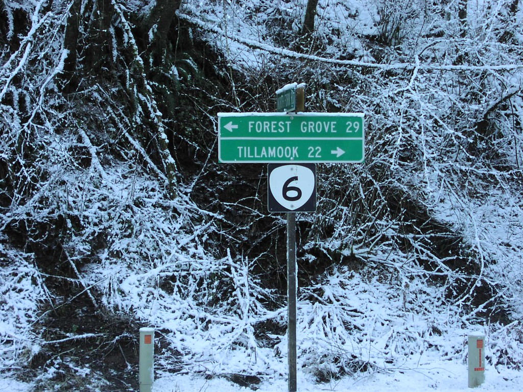
OR-6 - Tillamook State Forest
OR-6 to Tillamook and Forest Grove in the Tillamook State Forest.
Taken 01-01-2007
 Tillamook
 County
Oregon
United States
Tillamook
Tillamook County
Oregon
United States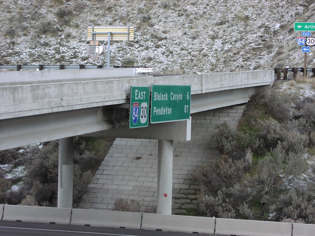
I-84/US-30 East - Distance Marker at Exit 123
Distance marker on I-84/US-30 east to Blalock Canyon and Pendleton.
Taken 01-01-2007
Arlington
Gilliam County
Oregon
United States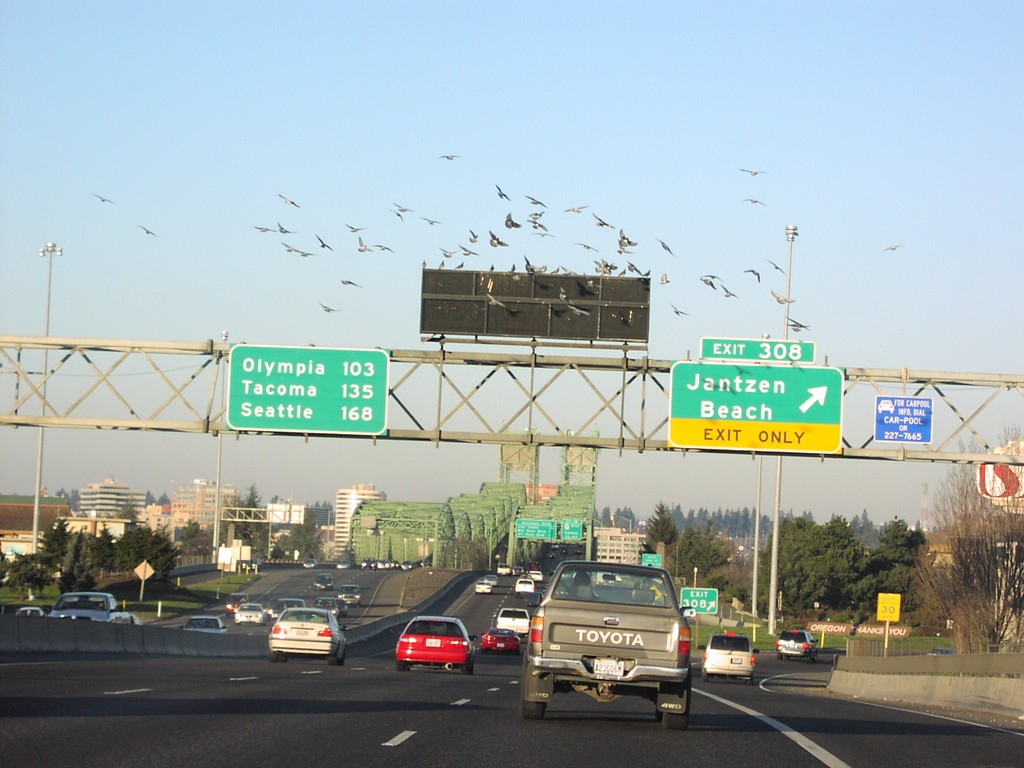
I-5 North Exit 308 - Last Oregon Exit
I-5 north at Exit 308, Janzten Beach. Exit 308 is the last exit in Oregon on I-5. Distance marker showing distance to Olympia, Tacoma, and Seattle.
Taken 01-01-2007
 Portland
Multnomah County
Oregon
United States
Portland
Multnomah County
Oregon
United States