Signs Tagged With Distance Marker

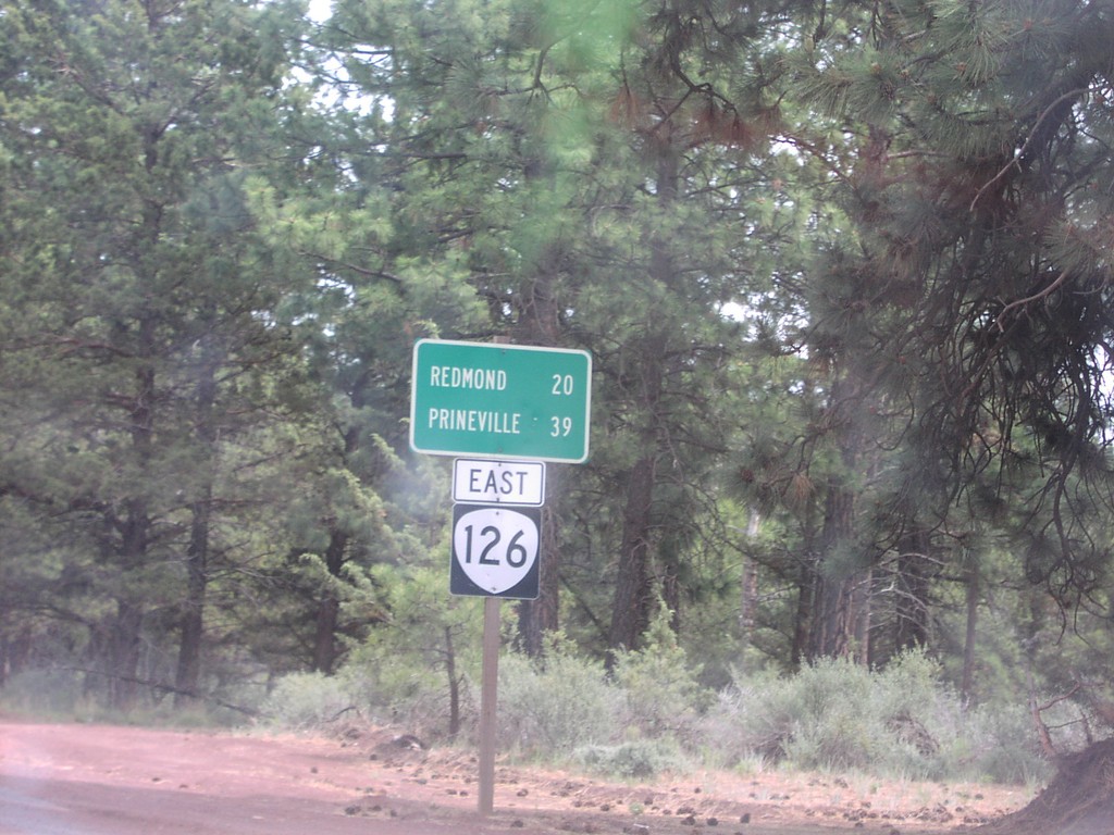
OR-126 East - Distance Marker
Distance marker on OR-126 east. Distance to Redmond and Prineville.
Taken 06-01-2001
 Sisters
Deschutes County
Oregon
United States
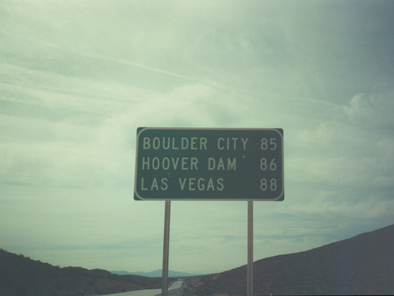
NV-169 South - Distance Marker
Distance Marker to Boulder City and Las Vegas, NV-169 South
Taken 03-01-2001
 Moapa Valley
Clark County
Nevada
United States
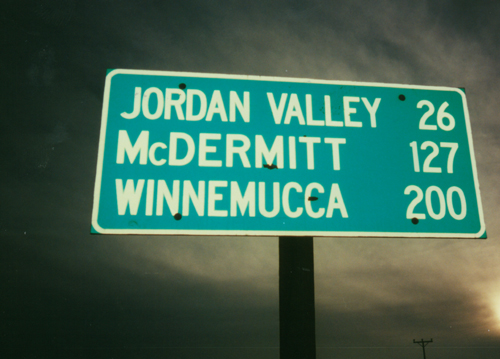
US-95 South - Distance Marker
Distance Marker on US-95 South to Jordan Valley (OR)/McDermitt (NV and OR)/Winnemucca(NV).
Taken 11-01-2000
 Rockville
Owyhee County
Idaho
United States
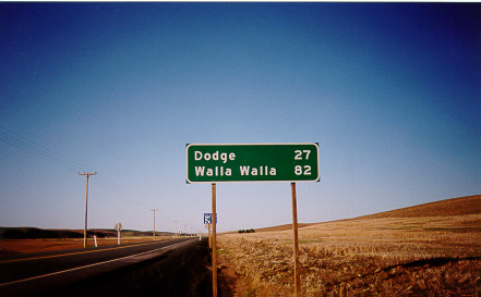
WA-127 South - Distance Marker
Distance Marker To Dodge and Walla Walla on WA-127 South
Taken 04-01-1999
 Dusty
Whitman County
Washington
United States