Signs Tagged With Distance Marker
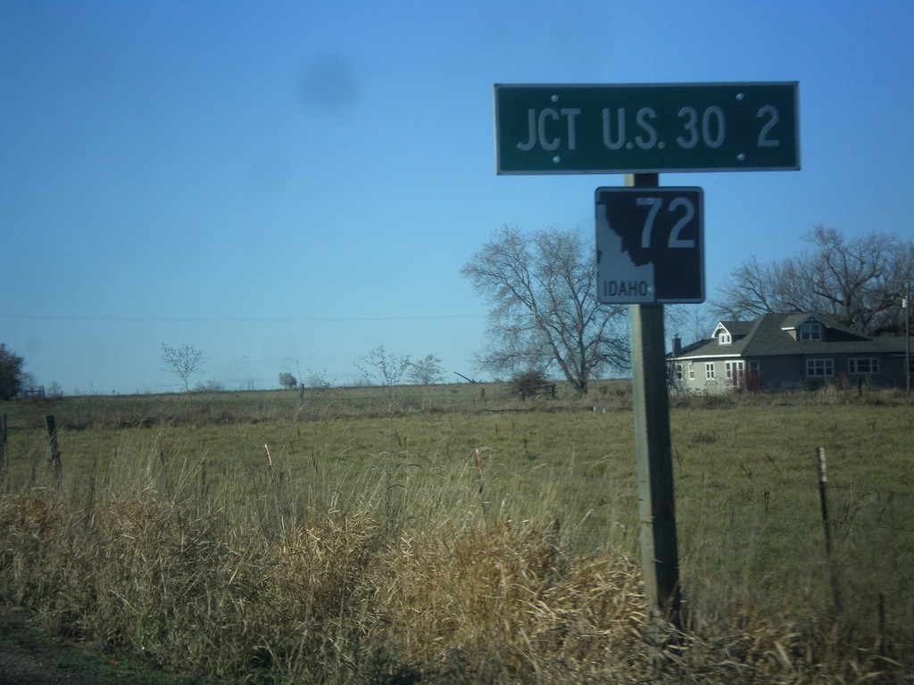
ID-72 West - Distance Marker
Distance marker on ID-72 west. Distance to US-30.
Taken 12-14-2014
 New Plymouth
Payette County
Idaho
United States
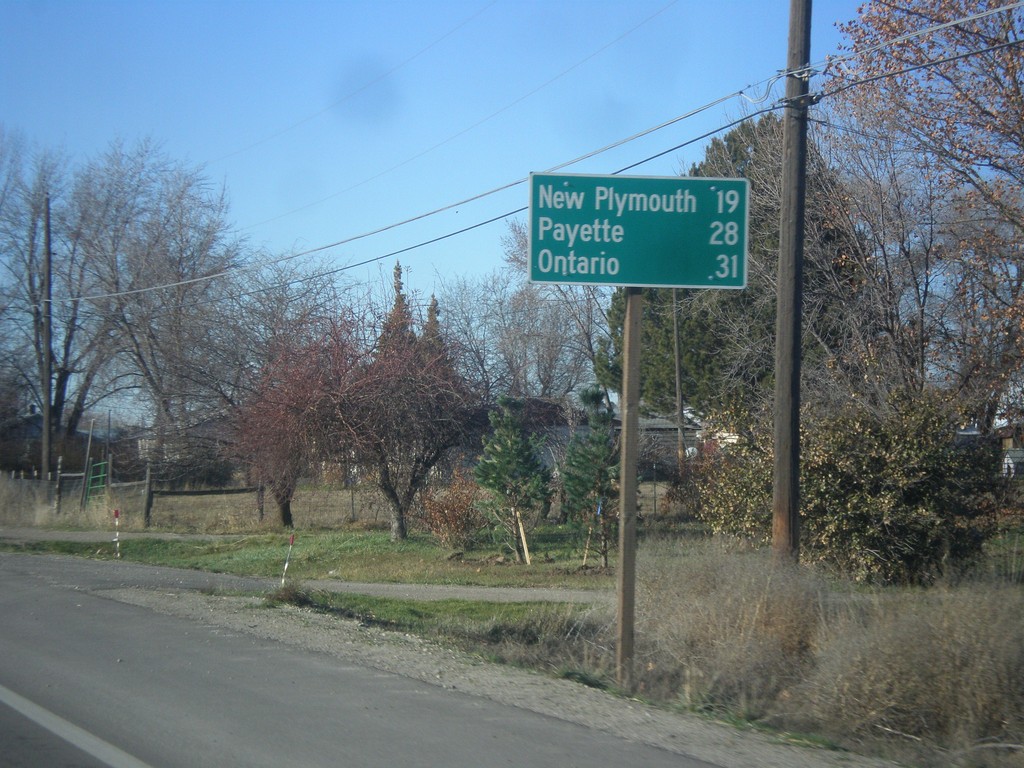
ID-52 West - Distance Marker
Distance marker on ID-52 west for New Plymouth, Payette, and Ontario (Oregon).
Taken 12-14-2014
 Emmett
Gem County
Idaho
United States
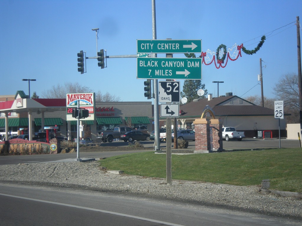
End ID-16 North at ID-52
End ID-16 north at ID-52. Turn right on ID-52 west for (Emmett) City Center and Black Canyon Dam.
Taken 12-14-2014

 Emmett
Gem County
Idaho
United States
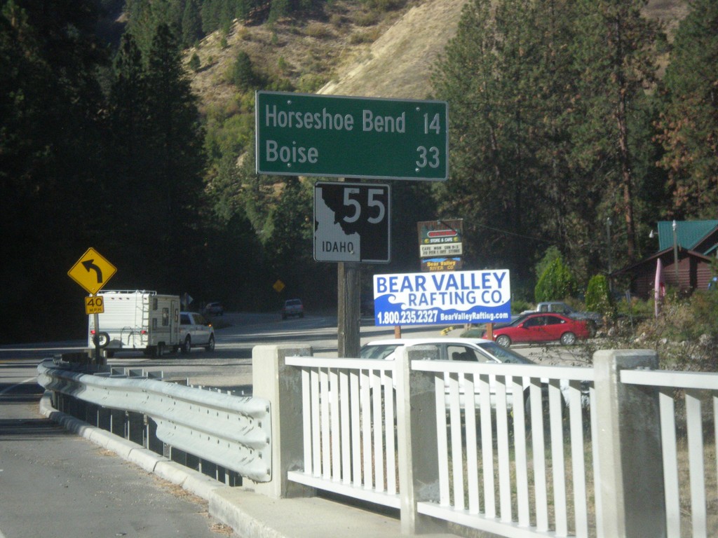
ID-55 South - Distance Marker
Distance marker on ID-55 south. Distance to Horseshoe Bend and Boise.
Taken 10-05-2014
 Banks
Boise County
Idaho
United States
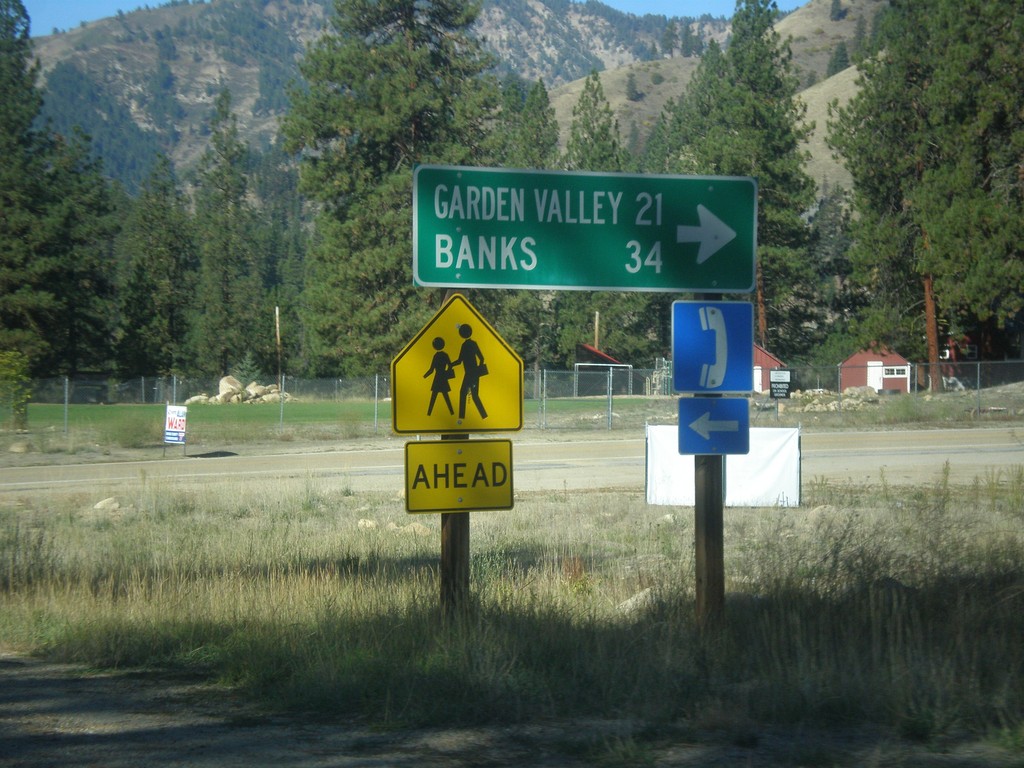
ID-21 South - Banks-Lowman Highway Jct.
ID-21 South at Banks-Lowman Highway Jct. Use the Banks-Lowman Highway for Garden Valley and Banks.
Taken 10-05-2014
 Lowman
Boise County
Idaho
United States
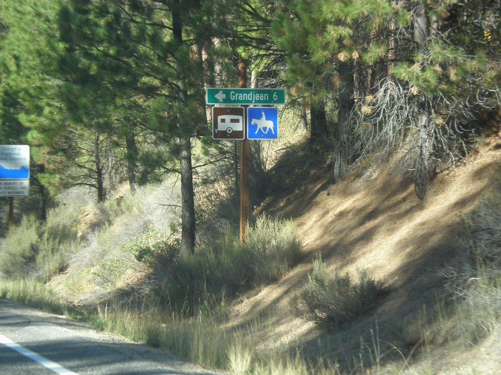
ID-21 South - Grandjean Jct.
ID-21 south at Grandjean Jct.
Taken 10-05-2014
 Lowman
Boise County
Idaho
United States
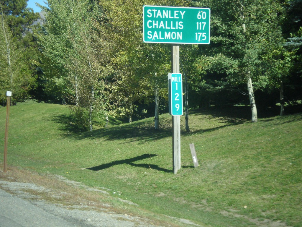
ID-75 North - Distance Marker
Distance marker on ID-75 north. Distance to Stanley, Challis, and Salmon. Milemarker 129. The milemarkers on ID-75 continue reflect the distance from the Idaho-Nevada state line (via US-93) rather than the beginning of ID-75. Originally, ID-75 was signed as US-93.
Taken 10-04-2014
 Sun Valley
Blaine County
Idaho
United States
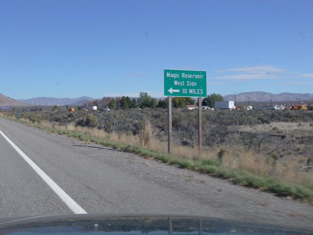
ID-75 North - Magic Reservoir West Side
ID-75 North at junction to Magic Reservoir - West Side. Magic Reservoir lies on the Big Wood River south of Sun Valley.
Taken 10-04-2014
 Shoshone
Lincoln County
Idaho
United States
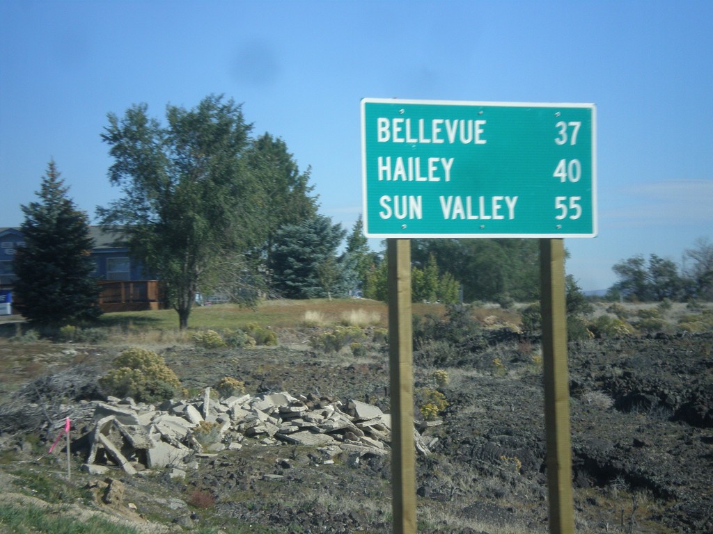
ID-75 North - Distance Marker
Distance marker on ID-75 north. Distance to Bellevue, Hailey, and Sun Valley.
Taken 10-04-2014
 Shoshone
Lincoln County
Idaho
United States
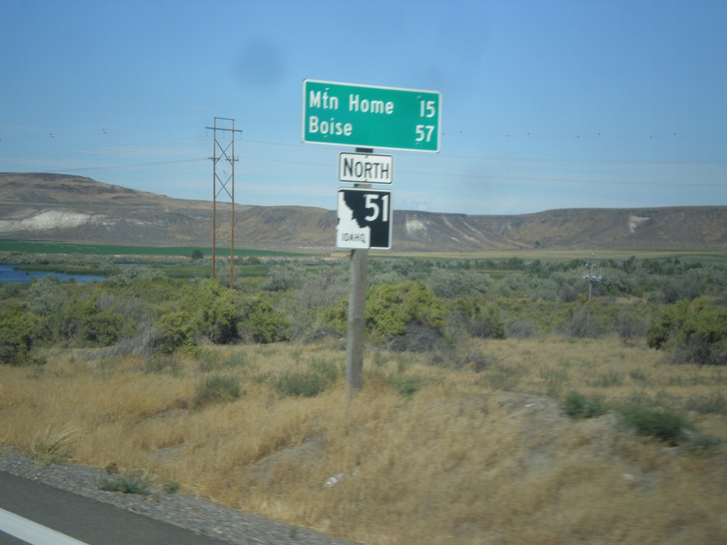
ID-51 North - Distance Marker
Distance marker on ID-51 north. Distance to Mountain Home and Boise.
Taken 08-31-2014
 Mountain Home
Owyhee County
Idaho
United States