Signs Tagged With Electronic Sign
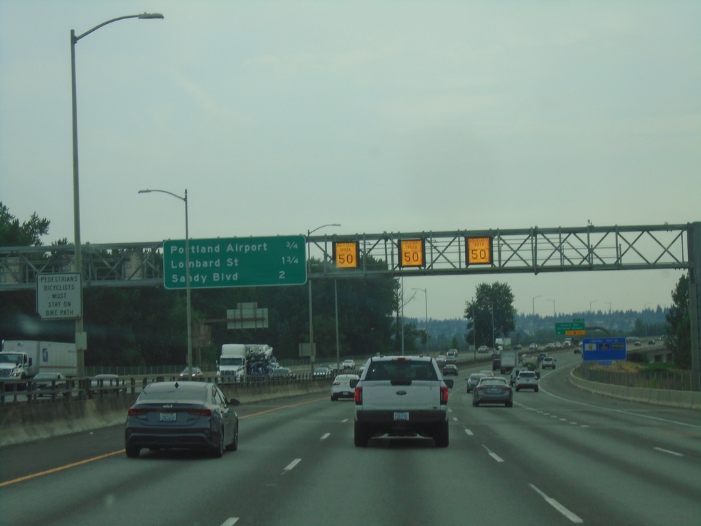
I-205 South - Distance Marker
Distance marker on I-205 south in Portland. Distance to Portland Airport, Lombard St., and Sandy Blvd. Electronic variable speed limit advisory signs showing an advised speed of 50 MPH.
Taken 08-09-2024
 Portland
Multnomah County
Oregon
United States
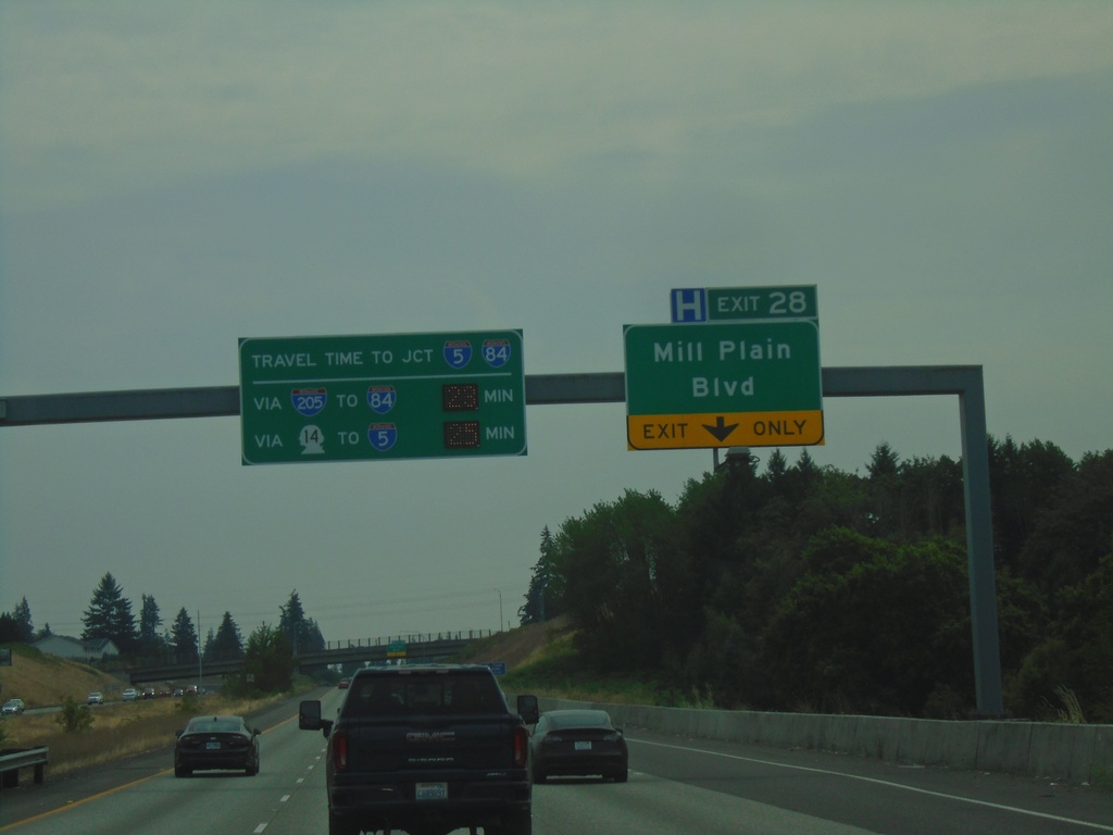
I-205 South - Exit 28
I-205 South approaching Exit 28 - Mill Plain Blvd. Travel times to I-84/I-5 Junction (Downtown Portland, Oregon) via I-84 and WA-14.
Taken 08-09-2024


 Vancouver
Clark County
Washington
United States
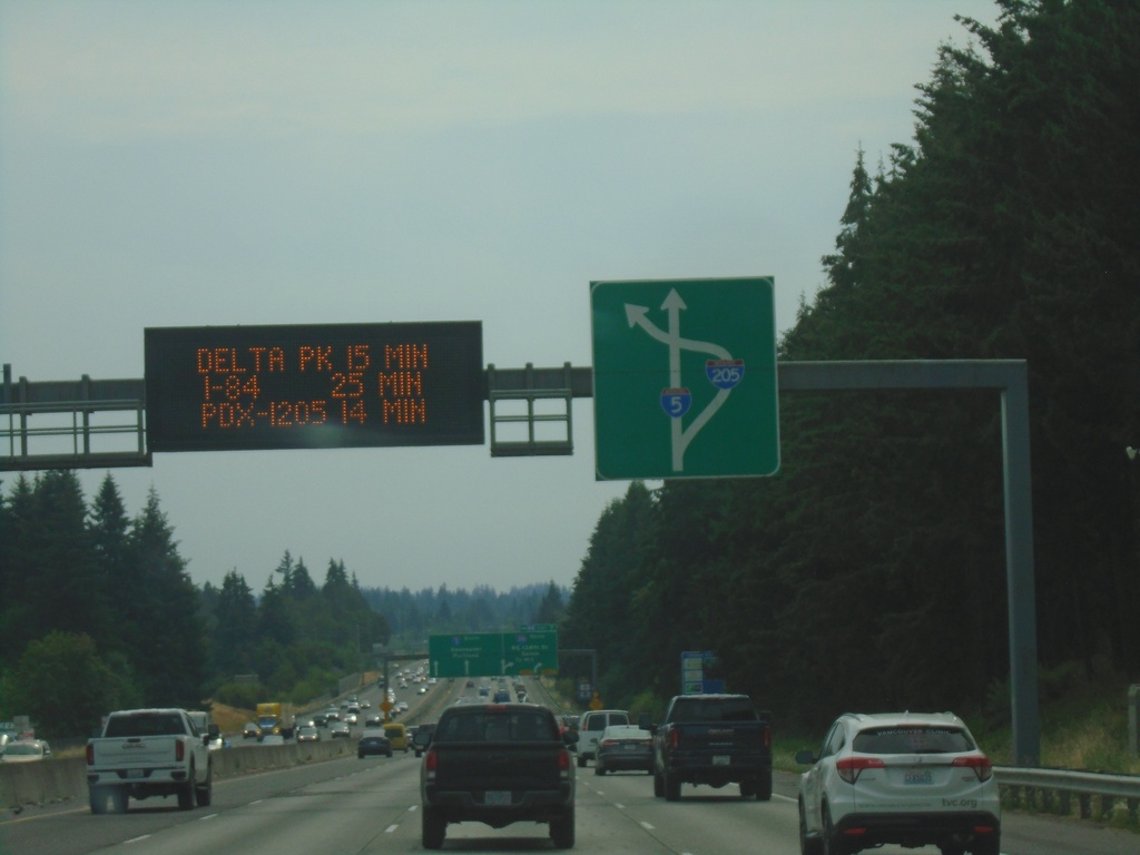
I-5 South Approaching Exit 7
I-5 South approaching Exit 7. Travel time for Portland Airport (via I-205), Delta Park and Downtown Portland. Route diagram for I-205/I-5 interchange.
Taken 08-09-2024

 Vancouver
Clark County
Washington
United States
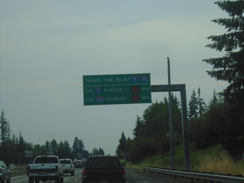
I-5 South - Travel Time To I-5/I-205 Junction in Tualatin
I-5 South Travel Time To I-5/I-205 Junction in Tualatin, Oregon. Travel time via I-5 south and I-205 south.
Taken 08-09-2024

 Ridgefield
Clark County
Washington
United States
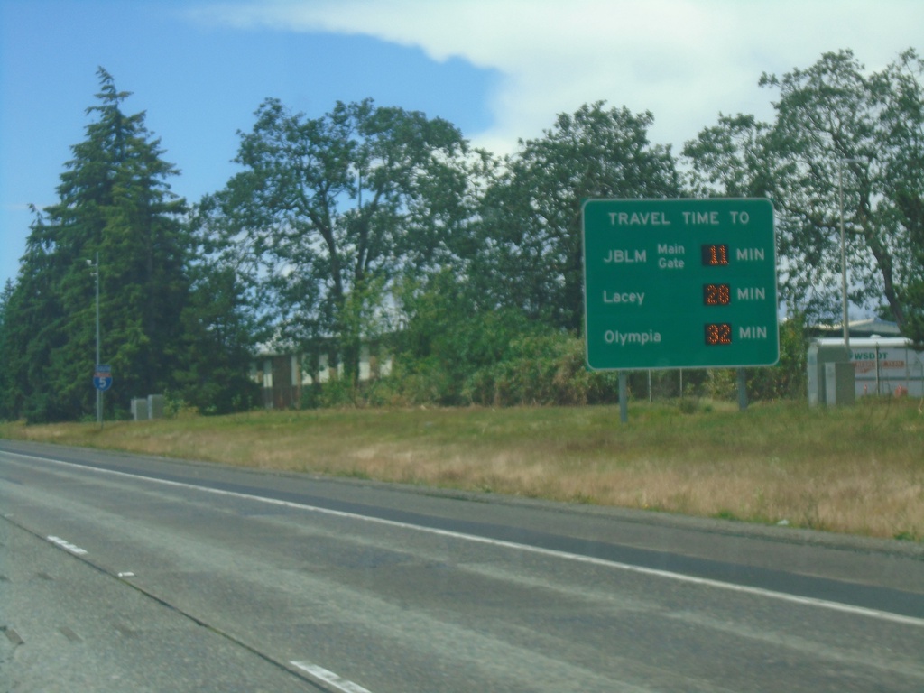
I-5 South - Travel Time
I-5 South - Electronic Travel Time sign. Travel times to JBLM (Joint Base Lewis-McChord) Main Gate, Lacey, and Olympia.
Taken 06-15-2024
 Tacoma
Pierce County
Washington
United States
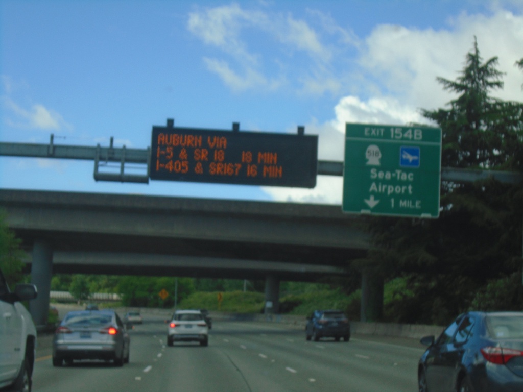
I-5 South - Exit 154B
I-5 south approaching Exit 154B - WA-518/Sea-Tac Airport. Electronic sign for travel time to Auburn via I-5 and WA-167.
Taken 06-15-2024

 Tukwila
King County
Washington
United States
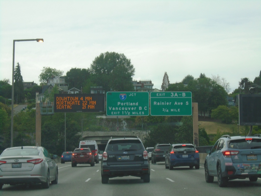
I-90 West - Exits 3A-B and I-5
I-90 West - Exits 3A-B and I-5. Use Exit 3A-B for Rainier Ave. South. Approaching I-5/Portland (Oregon)/Vancouver, BC (Canada). Electronic travel time sign showing distance to Downtown, Northgate, and SeaTac. Approaching Mount Baker Ridge Tunnel.
Taken 06-13-2024

 Seattle
King County
Washington
United States
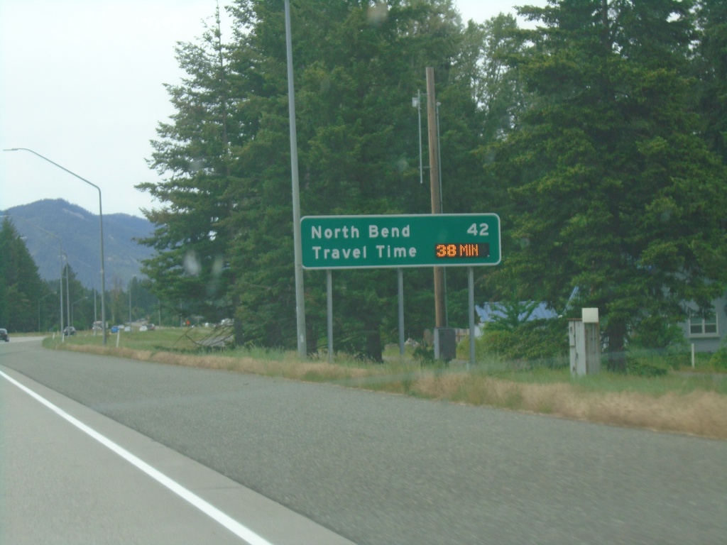
I-90 West - Distance Marker/Travel Time
Distance marker and dynamic travel time sign on I-90 west. Distance and travel time to North Bend, which is a Seattle suburb.
Taken 06-13-2024
 Cle Elum
Kittitas County
Washington
United States
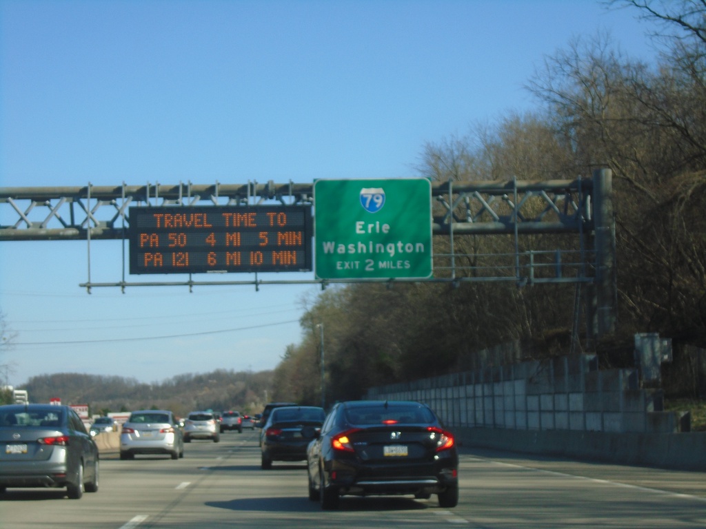
I-376 East - Exit 64
I-376 east approaching Exit 64 - I-79/Erie/Washington. A Pittsburgh area travel time display is part of the sign assembly.
Taken 03-28-2024


 Pittsburgh
Allegheny County
Pennsylvania
United States
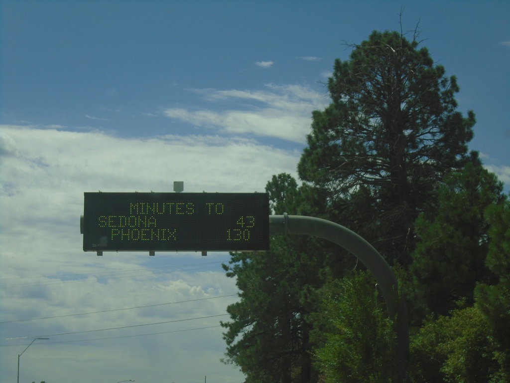
Travel Time on AZ-89A South Approaching I-17
Travel Time on AZ-89A South approaching I-17. Time estimates for Sedona (via AZ-89A) and Phoenix (via I-17).
Taken 09-08-2023
 Flagstaff
Coconino County
Arizona
United States
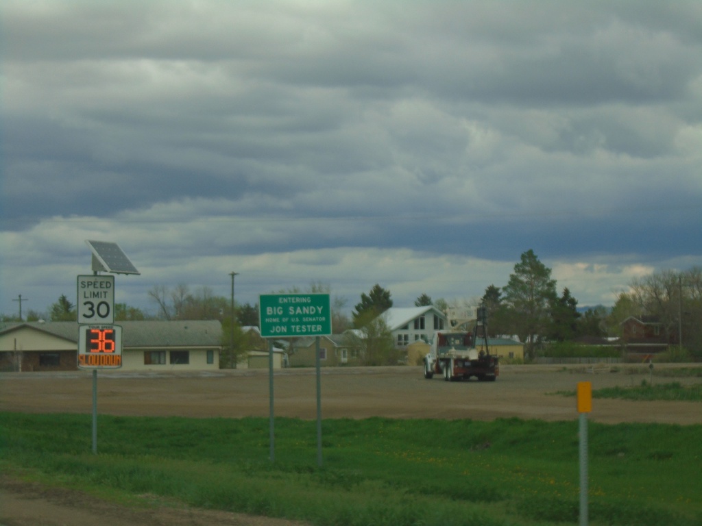
US-87 - Entering Big Sandy
Entering Big Sandy - Home of US Senator Jon Tester
Taken 05-11-2023
 Big Sandy
Chouteau County
Montana
United States
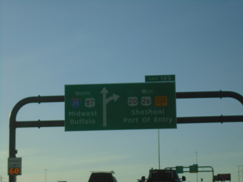
I-25 North - Exit 189
I-25 north at Exit 189 - US-20/US-26 West/To WY-220/Shoshoni/Port of Entry. Continue north on I-25/US-87 to Midwest and Buffalo. US-20/US-26 West leave I-25 northbound.
Taken 05-02-2022


 Casper
Natrona County
Wyoming
United States
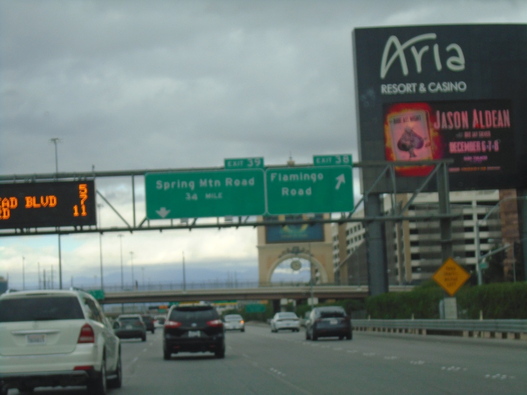
I-15 North - Exits 38 and 39
I-15 north at Exit 38 - Flamingo Road. Approaching Exit 39 - Spring Mountain Road.
Taken 11-28-2019

 Las Vegas
Clark County
Nevada
United States
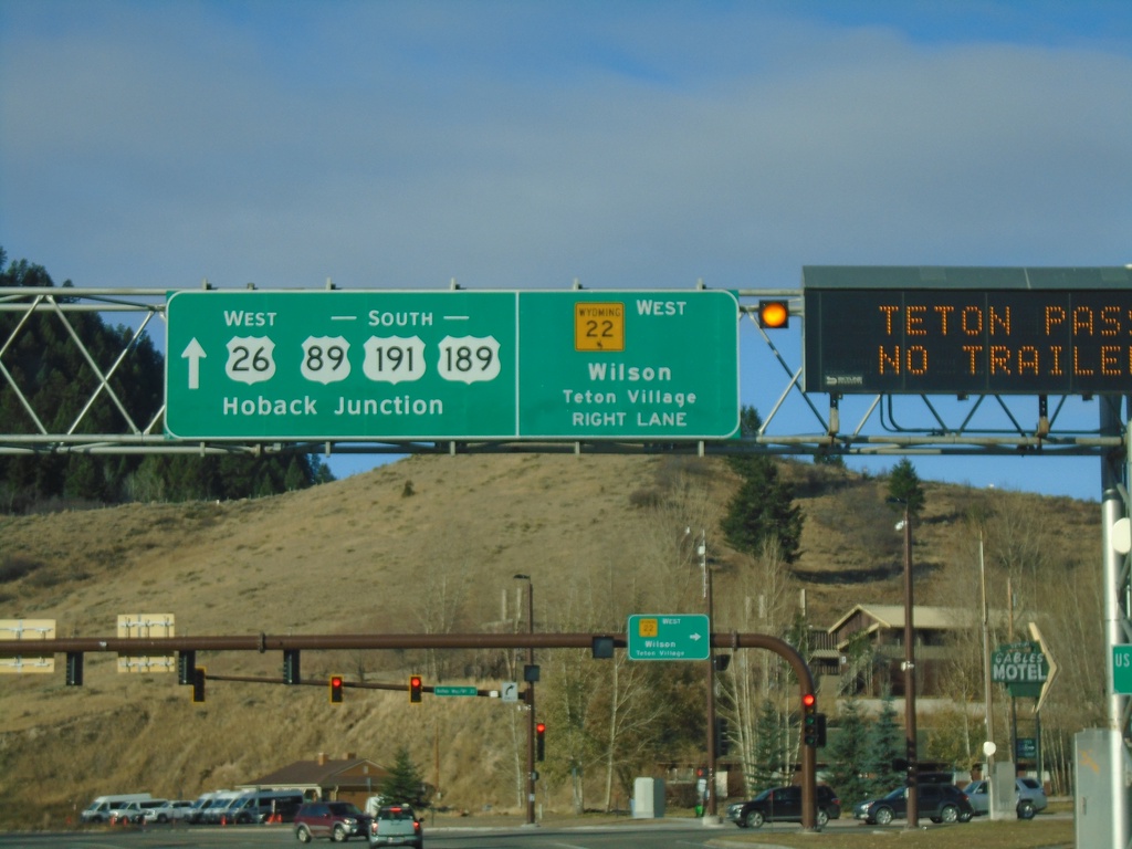
US-89/US-191/US-26/US-189 South At WY-22
US-89/US-191/US-26/US-189 South At WY-22 West to Wilson and Teton Village. Continue on US-89/US-191/US-189 South/US-26 West to Hoback Junction.
Taken 10-27-2019


 Jackson
Teton County
Wyoming
United States
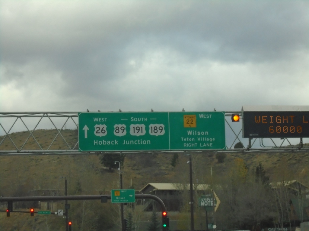
US-89/US-191/US-26/US-189 South At WY-22
US-89/US-191/US-26/US-189 South At WY-22 West to Wilson and Teton Village. Continue on US-89/US-191/US-189 South/US-26 West to Hoback Junction.
Taken 10-26-2019


 Jackson
Teton County
Wyoming
United States
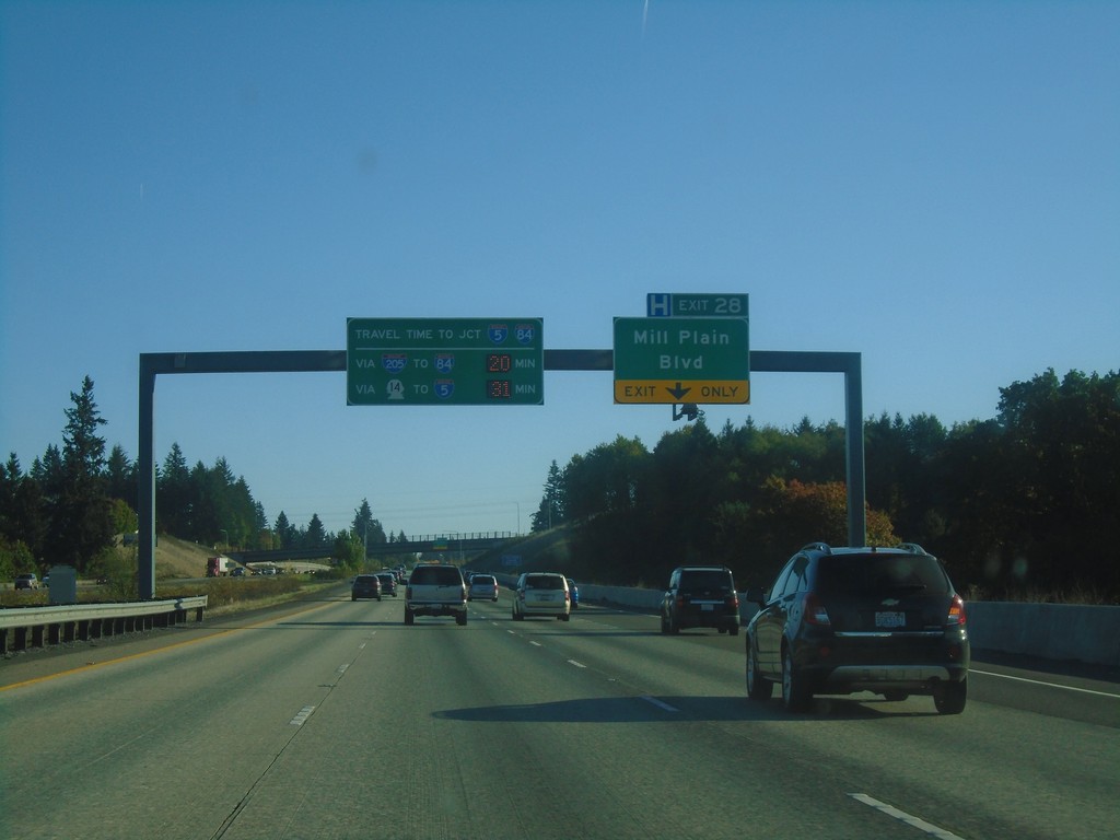
I-205 South - Exit 28
I-205 South approaching Exit 28 - Mill Plain Blvd. Travel times to I-84/I-5 Junction (Downtown Portland, Oregon). On this Saturday afternoon it was 20 minutes to I-84/I-5 via I-205 and I-84; 31 minutes via WA-14 and I-5.
Taken 10-13-2018


 Vancouver
Clark County
Washington
United States
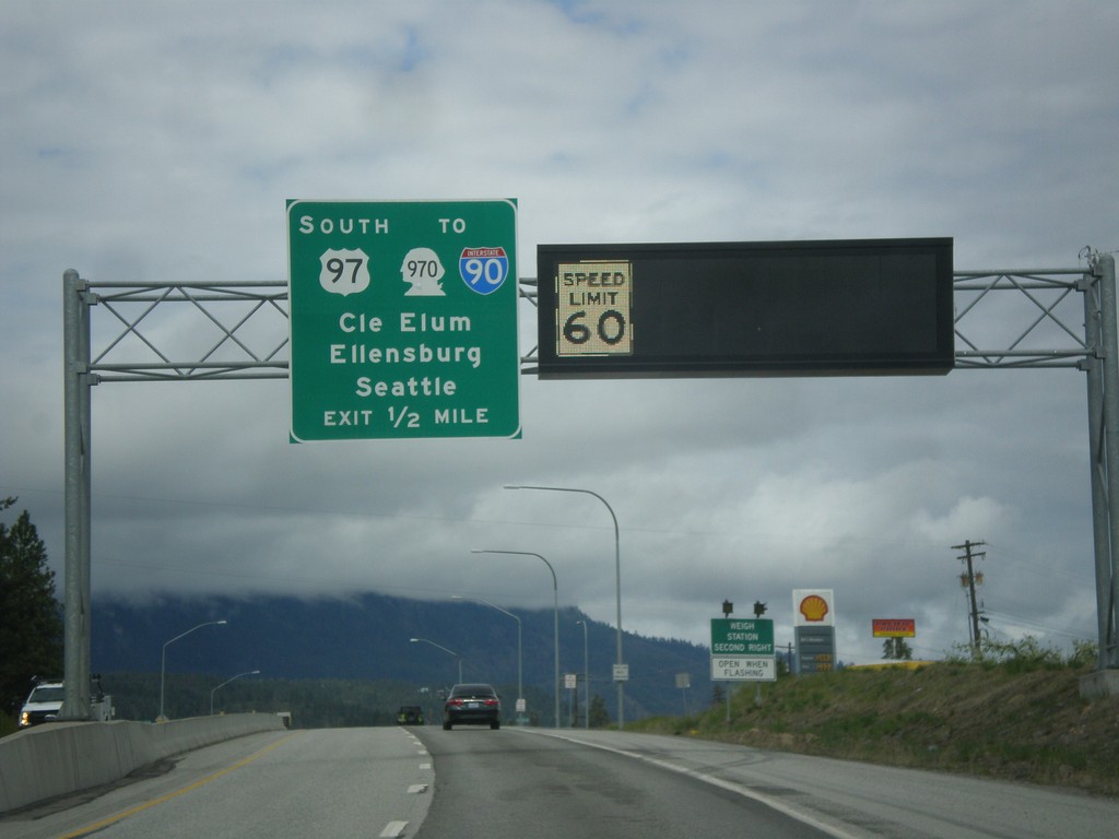
US-2 West/US-97 South Approaching US-2/US-97 Split
US-2 West/US-97 South approaching US-2/US-97 Split. Use US-97 south for WA-970/I-90 to Cle Elum, Ellensburg, and Seattle. A variable speed limit sign shows the speed as 60 MPH.
Taken 04-30-2018


 Cashmere
Chelan County
Washington
United States
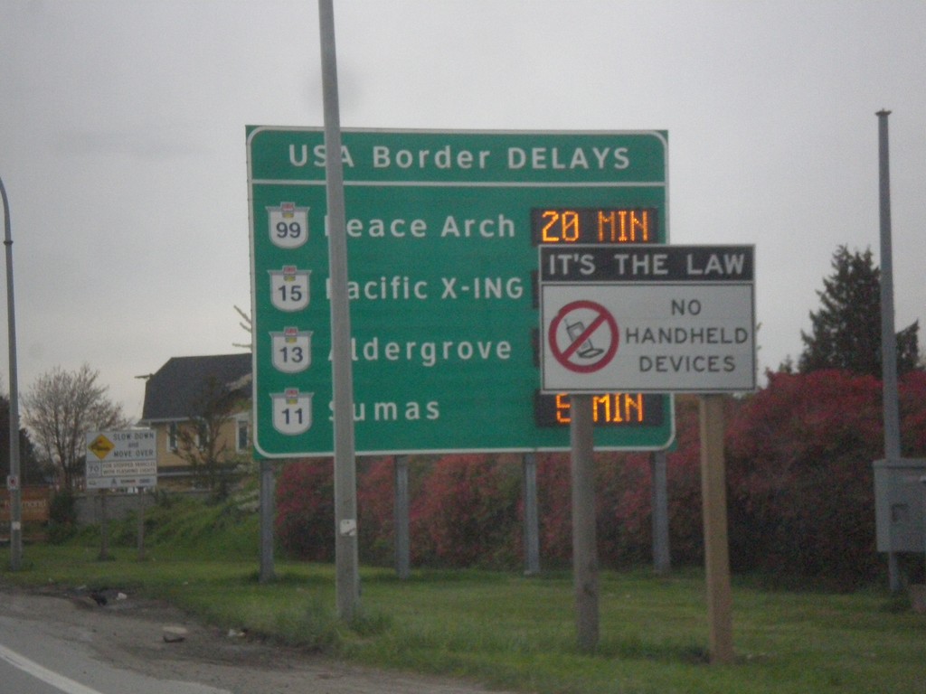
BC-99 South - Border Crossing Times
Vancouver area border crossing times into the USA on BC-99 south. Border crossing times via Peace Arch (BC-99), Pacific X-ING (BC-15), Aldergrove (BC-13), and Sumas (BC-11).
Taken 04-29-2017


 Richmond
Metro Vancouver
British Columbia
Canada
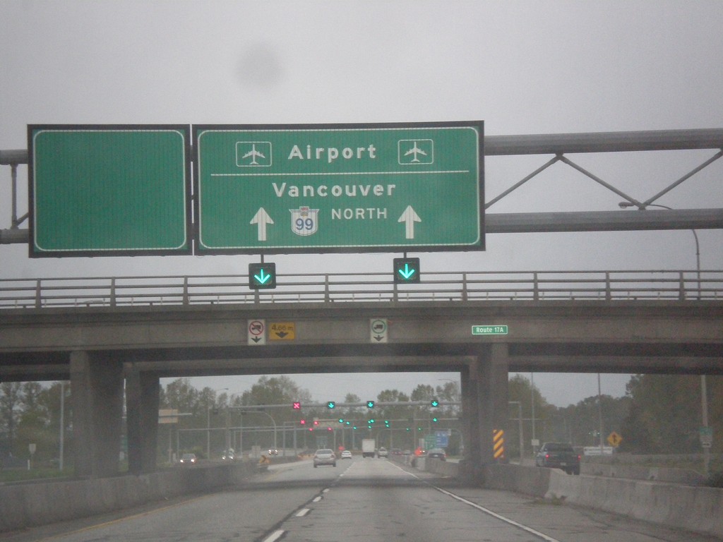
BC-99 North - Vancouver and Airport
Variable message sign on BC-99 North approaching the George Massey Tunnel. Use BC-99 north for Vancouver and Airport
Taken 04-29-2017
 Delta
Metro Vancouver
British Columbia
Canada
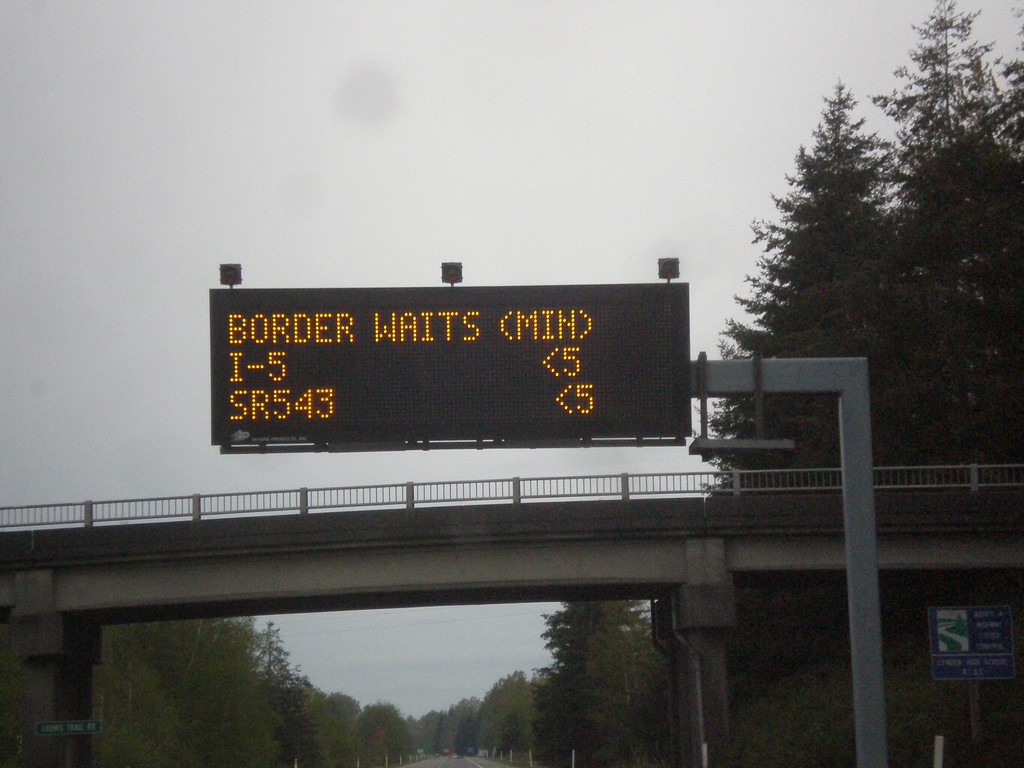
I-5 North - Border Wait Times
Border Wait Times on I-5 North. Both I-5 (Peace Arch) and WA-543 (Pacific Highway) crossing are less than 5 minutes in this photo. This was taken at 7 AM on a Saturday. As it happened there was only one car in front of me at Canada Customs.
Taken 04-29-2017
 Custer
Whatcom County
Washington
United States
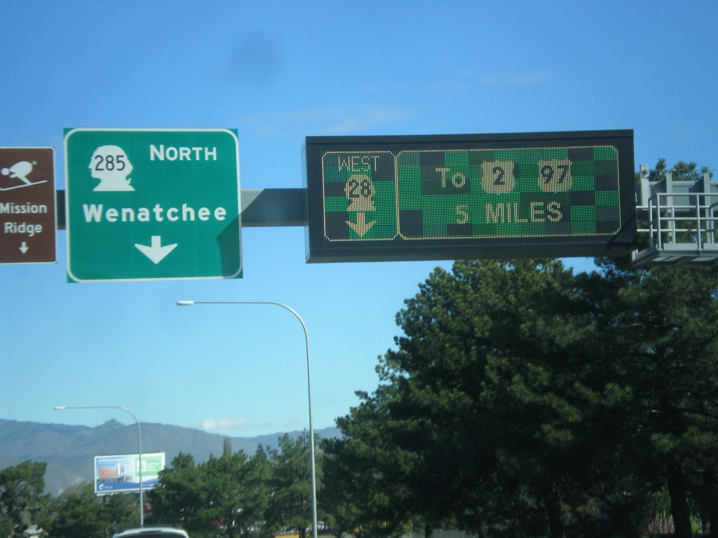
WA-28 West at WA-285 - East Wenatchee
WA-28 West at WA-285 in East Wenatchee. Turn left for WA-285 North to Wenatchee. Continue west on WA-28 to US-2 and US-97. The signs directing traffic on WA-28 are an electronic sign.
Taken 04-28-2017


 East Wenatchee
Douglas County
Washington
United States
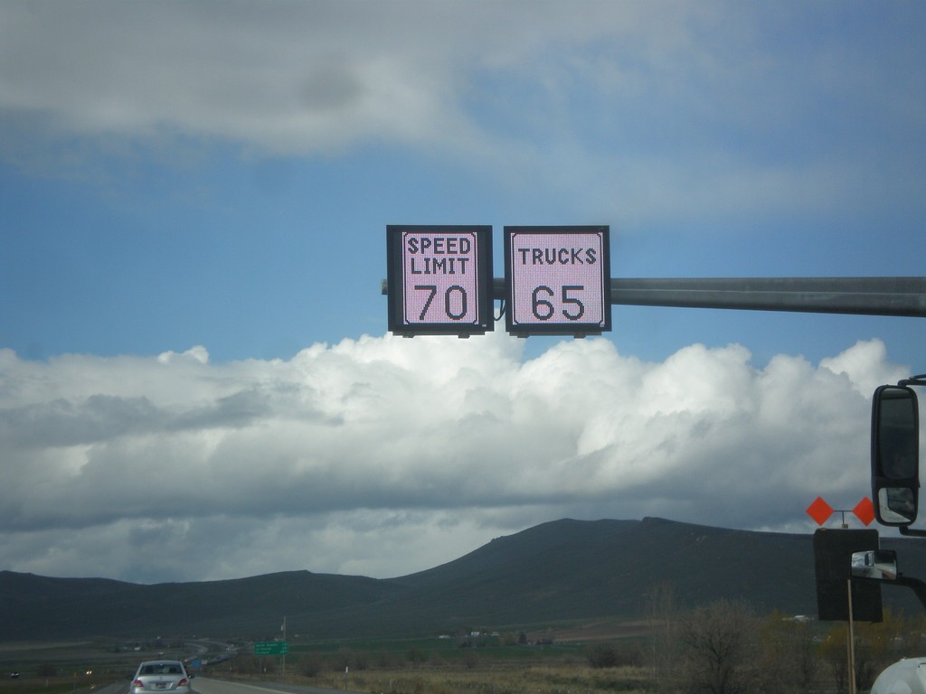
I-84 West - Variable Speed Limits
Variable Speed Limit sign on I-84 West, just outside of Baker City. The stretch of I-84 between Baker City and Ladd Canyon converted to variable speed limits in 2016.
Taken 04-27-2017
 Baker City
Baker County
Oregon
United States
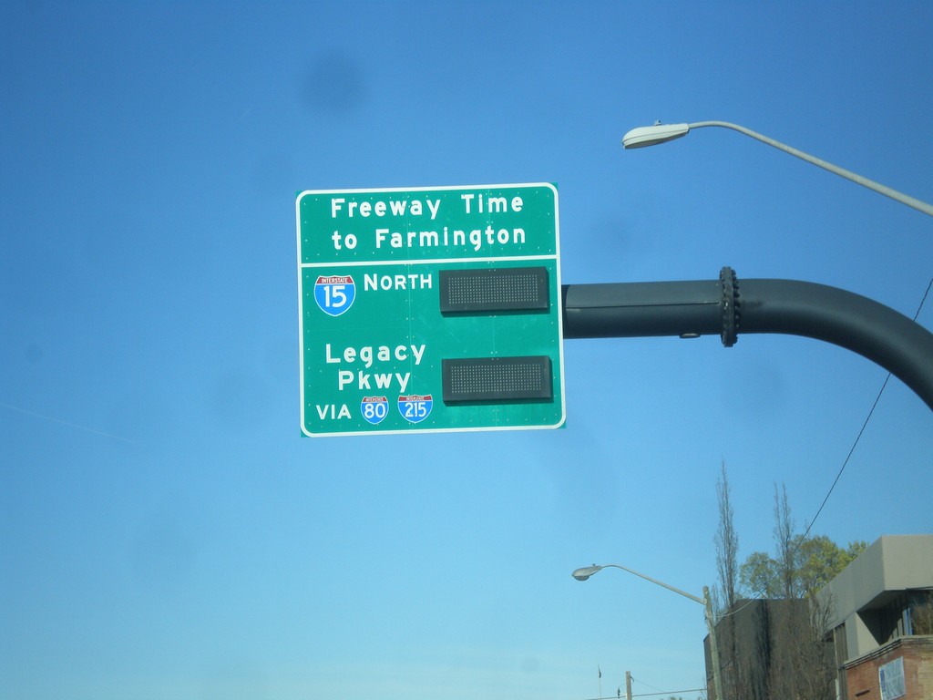
US-89 North (400 South) - I-15 North Travel Times
US-89 North (400 South) in Salt Lake City. Freeway Travel Times to Farmington via Legacy Parkway (via I-80/I-215) or via I-15. This was taken on Saturday morning and there were no times displayed.
Taken 04-01-2017

 Salt Lake City
Salt Lake County
Utah
United States
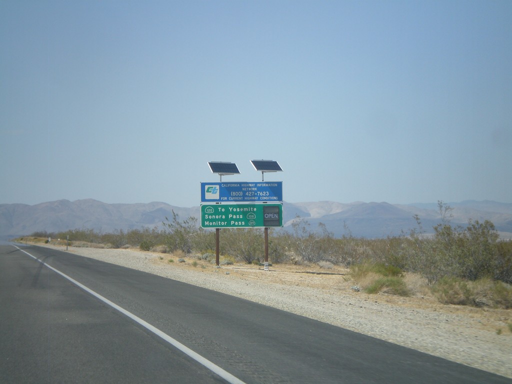
US-395 North - Sierra Nevada Pass Information
Sierra Nevada mountain pass information on US-395 north. This sign shows the status of CA-120 (Tioga Pass), CA-108 (Sonora Pass), and CA-89 (Monitor Pass). At the time this picture was taken, the only pass still closed was Tioga Pass.
Taken 05-06-2012


 Inyokern
Kern County
California
United States
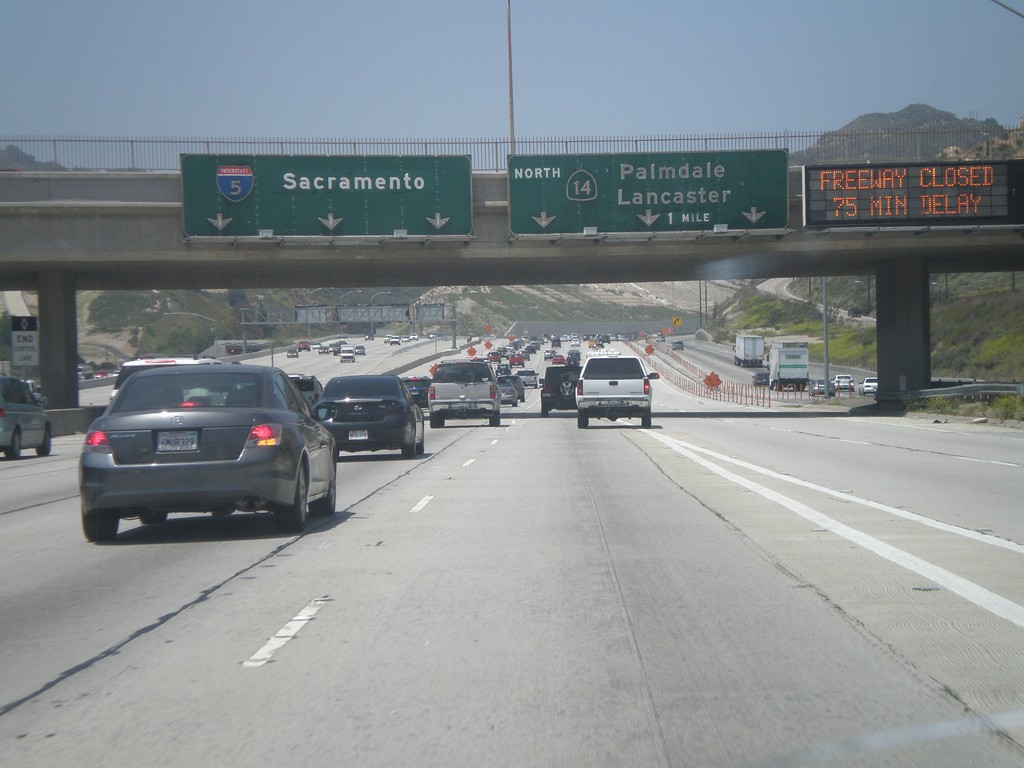
I-5 North - Exit 162
I-5 north approaching Exit 162 - CA-14 North/Palmdale/Lancaster. I-5 continues north towards Sacramento. When this picture was taken CA-14 was closed by an accident at the Red Rover interchange. I had to change my travel plans and follow I-5 up the Grapevine and cut over to CA-14 on CA-138.
Taken 05-06-2012

 Los Angeles
 County
California
United States
Los Angeles
Los Angeles County
California
United States