Signs Tagged With Elevation
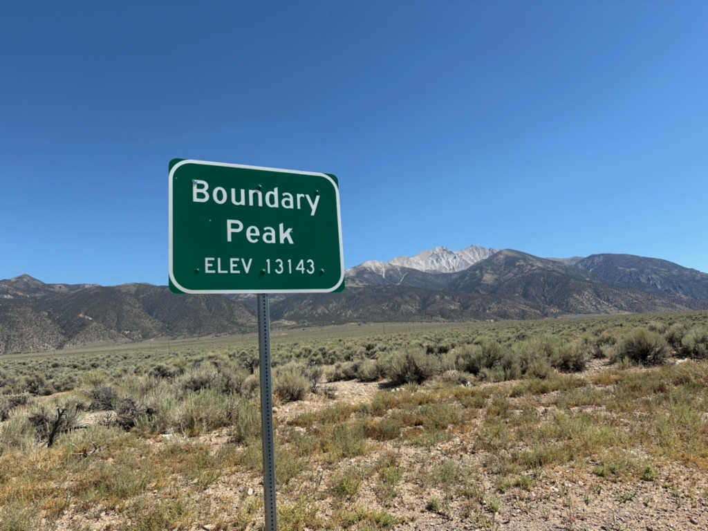
US-6 - Boundary Peak
Scenic pullout on US-6 West with view of Boundary Peak - Elevation 13143 Feet. Boundary Peak is the highest point in Nevada, and is in the background of the photograph. The author of this site had just climbed Boundary Peak earlier that day.
Taken 08-02-2026
 Mineral County
Nevada
United States
Mineral County
Nevada
United States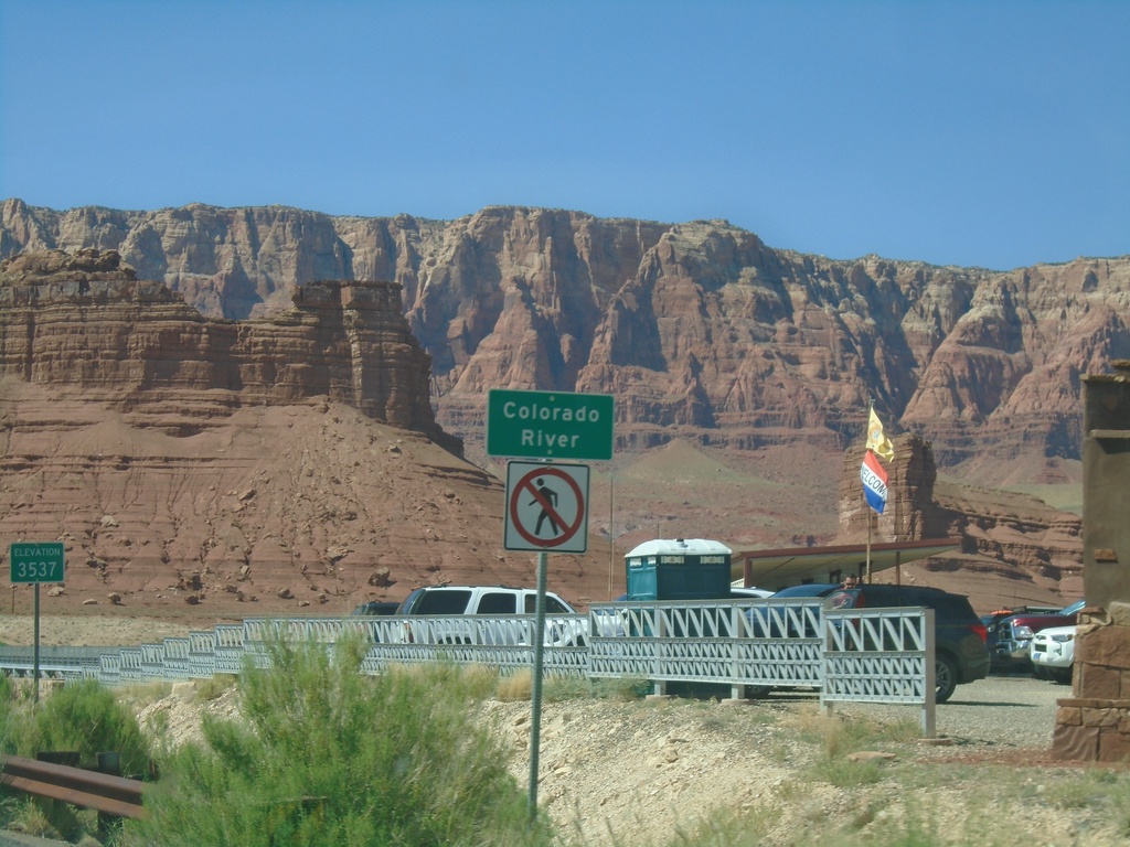
US-89A North - Colorado River
Colorado River (Navajo Bridge) on US-89A north. Elevation 3537 Feet. The Vermillion Cliffs are in the background. The next road crossing of the Colorado River south of here is US-93 below Hoover Dam. Between the Navajo Bridge and Hoover Dam lies the Grand Canyon and Lake Mead.
Taken 09-08-2023
 Marble Canyon
Coconino County
Arizona
United States
Marble Canyon
Coconino County
Arizona
United States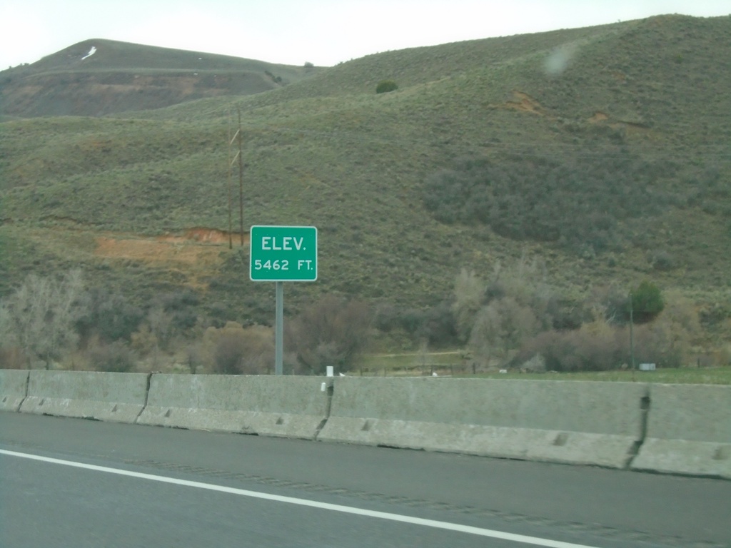
I-84 East - Elevation 5462 Feet
Elevation 5462 approaching the eastern end of I-84. There is also an elevation sign at the Idaho-Utah state line on I-84.
Taken 04-24-2021
 Echo
Summit County
Utah
United States
Echo
Summit County
Utah
United States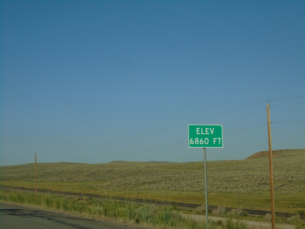
I-80 West - Elevation 6860 Feet
I-80 west Elevation 6860 Feet. Many highways entering Utah have the elevation listed at or near the state line.
Taken 07-18-2020

 Wahsatch
Summit County
Utah
United States
Wahsatch
Summit County
Utah
United States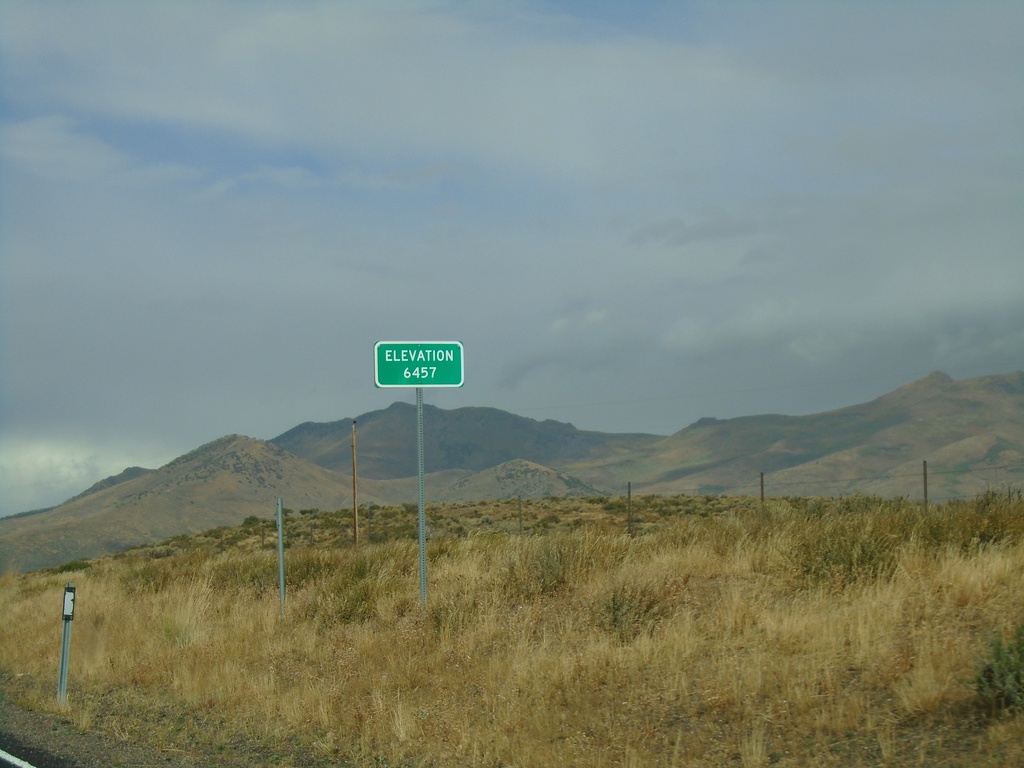
NV-229 North - Secret Pass
NV-229 North at Secret Pass - Elevation 6457 Feet.
Taken 09-28-2019
 Arthur
Elko County
Nevada
United States
Arthur
Elko County
Nevada
United States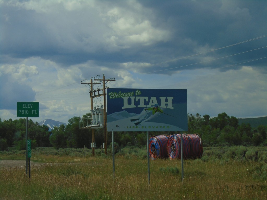
UT-150 South - Welcome To Utah
Welcome To Utah on UT-150 South. Elevation 7810 Feet. The mile marker of 23.56 is from Wyoming WY-150.
Taken 08-03-2019
 Coalville
Summit County
Utah
United States
Coalville
Summit County
Utah
United States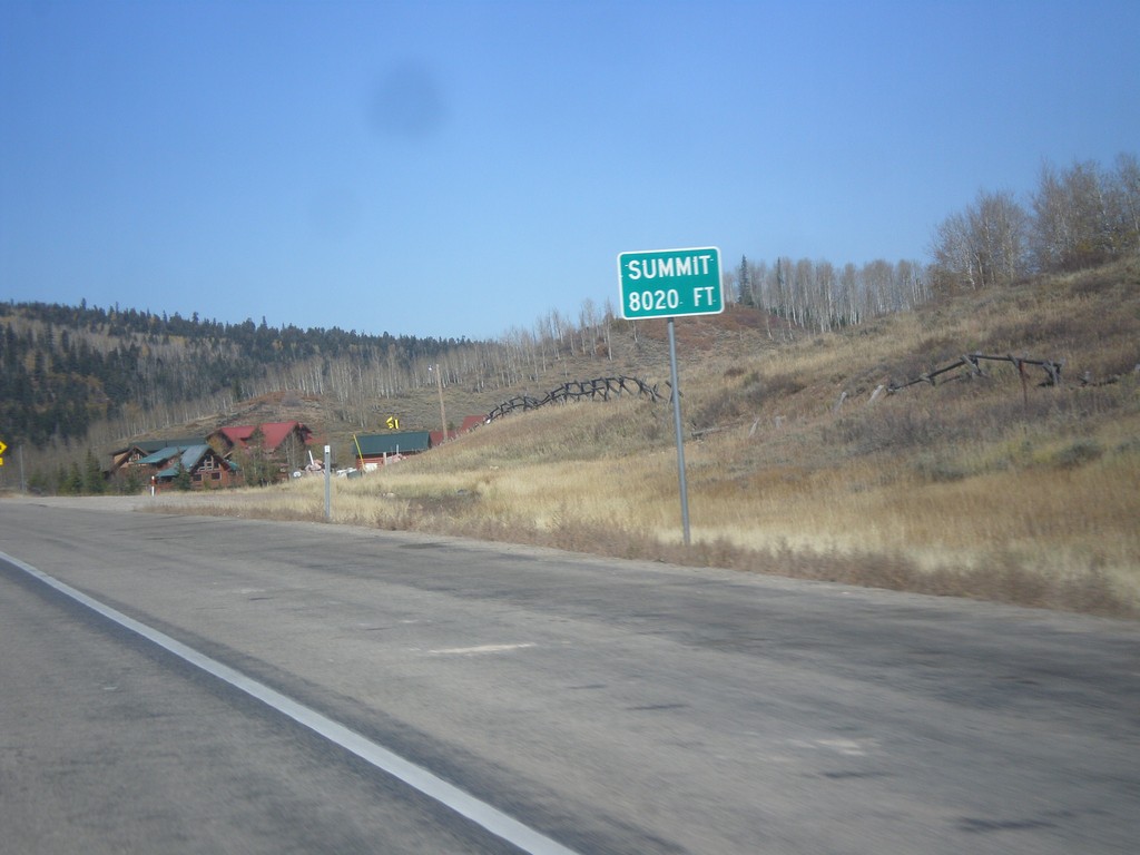
US-40 West - Daniels Summit
Daniels Summit - Elevation 8020 Feet on US-40 west.
Taken 10-09-2016
 Wallsburg
Wasatch County
Utah
United States
Wallsburg
Wasatch County
Utah
United States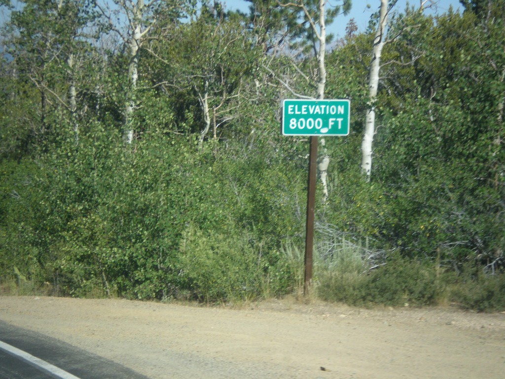
CA-89 North - Elevation 8000 Feet
Elevation 8000 Feet on CA-89 north. Taken on north descent from Monitor Pass.
Taken 08-12-2016
 Markleeville
Alpine County
California
United States
Markleeville
Alpine County
California
United States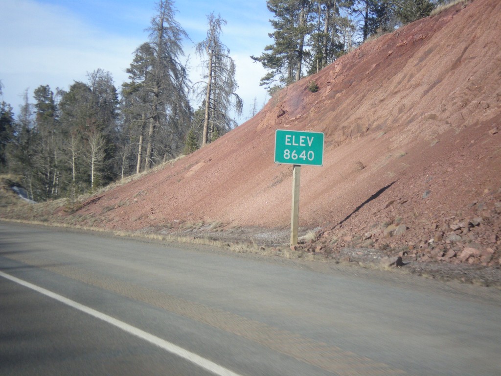
I-80 West - Elevation 8640
I-80 west - Elevation 8640. This is the highest point on all of I-80. The summit lies between Cheyenne and Laramie in the Sherman Mountains.
Taken 03-30-2014
 Laramie
Albany County
Wyoming
United States
Laramie
Albany County
Wyoming
United States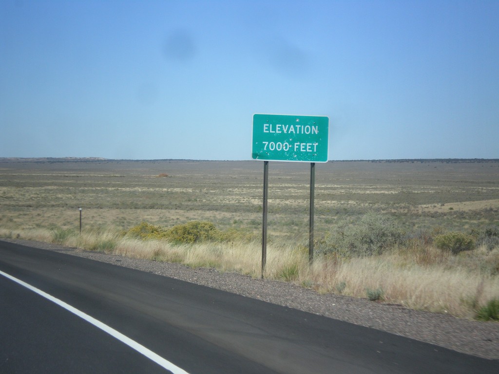
US-550 North - Elevation 7000 Feet
Elevation 7000 Feet, descending from the Continental Divide on US-550 north.
Taken 10-15-2012
 Cuba
Sandoval County
New Mexico
United States
Cuba
Sandoval County
New Mexico
United States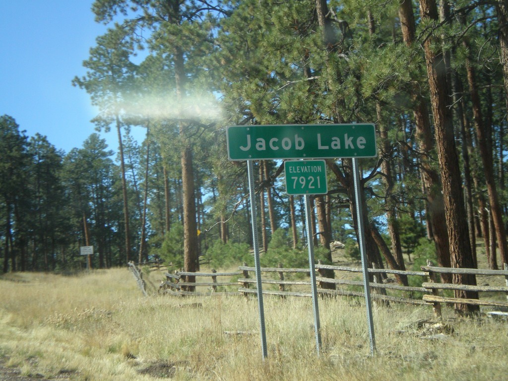
US-89A North - Jacob Lake
Entering Jacob Lake on US-89A north. Elevation 7,921.
Taken 10-16-2008
Jacob Lake
Coconino County
Arizona
United States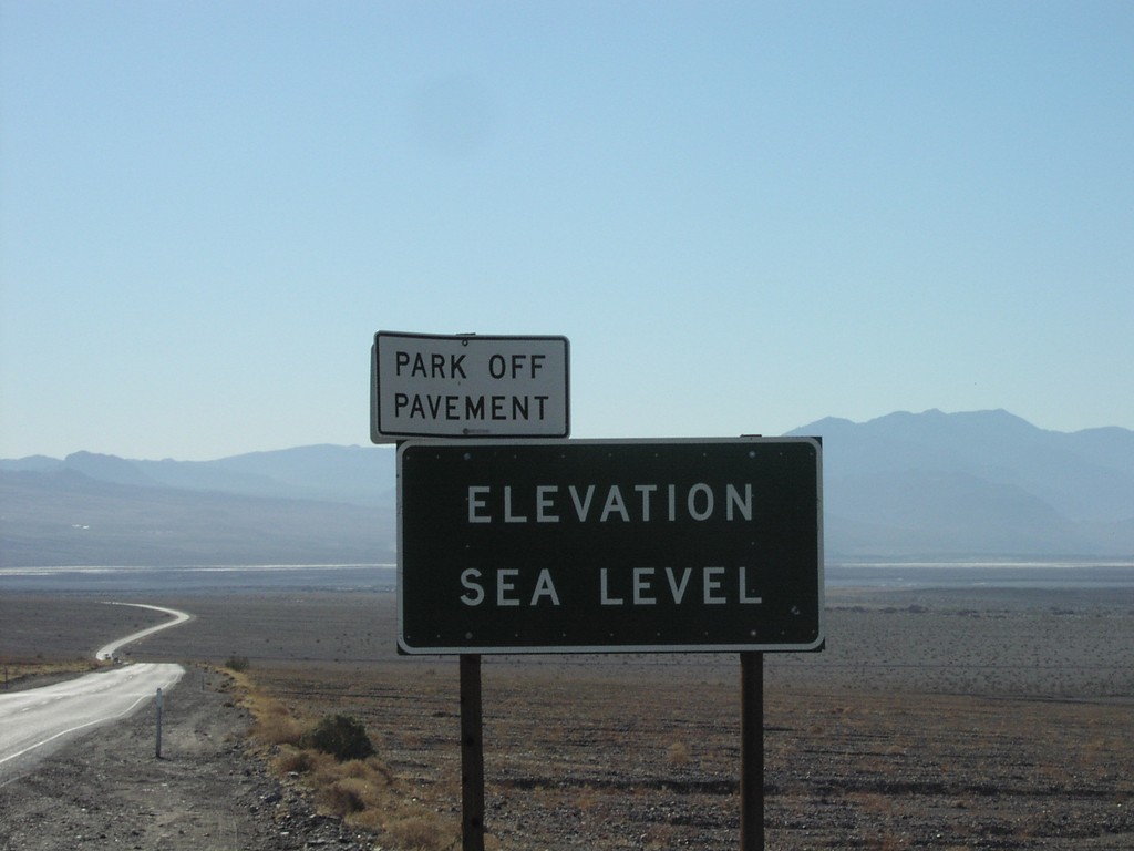
CA-190 East - Elevation Sea Level
Elevation Sea Level on CA-190 east
Taken 02-01-2006
 Stovepipe Wells
Inyo County
California
United States
Stovepipe Wells
Inyo County
California
United States