Signs Tagged With Freeway Junction
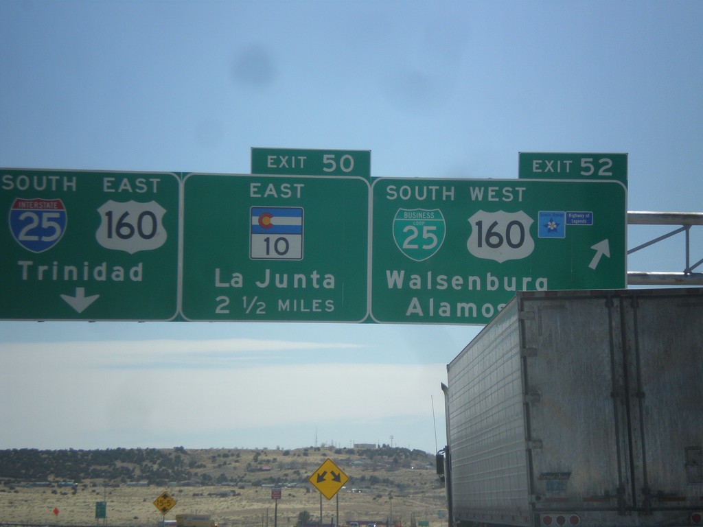
I-25 South - Exits 52 and 50
I-25 south at Exit 52 - BL-25 South/US-160 West/Walsenburg/Alamosa. Approaching Exit 50 - CO-10 East/La Junta. US-160 actually joins I-25 at Exit 50, but this is a quicker route from the north into Walsenburg. Continue south on I-25/US-160 East for Trinidad.
Taken 03-29-2014


 Walsenburg
Huerfano County
Colorado
United States
Walsenburg
Huerfano County
Colorado
United States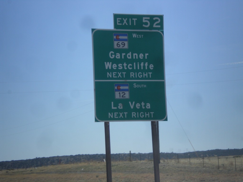
I-25 South Approaching Exit 52
I-25 south approaching Exit 52. Use Exit 52 for CO-12 South/La Veta and CO-69 West/Gardiner/Westcliffe.
Taken 03-29-2014

 Walsenburg
Huerfano County
Colorado
United States
Walsenburg
Huerfano County
Colorado
United States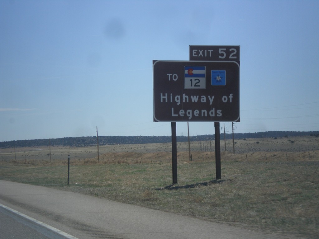
I-25 South Approaching Exit 52
I-25 south approaching Exit 52. Use Exit 52 for CO-12, the Highway of Legends Scenic Byway.
Taken 03-29-2014
Walsenburg
Huerfano County
Colorado
United States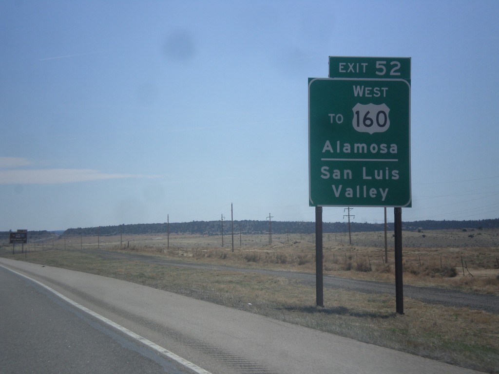
I-25 South - Use Exit 52 For US-160 East
I-25 south approaching Exit 52. Use Exit 52 for US-160 East/Alamosa and the San Luis Valley.
Taken 03-29-2014
Walsenburg
Huerfano County
Colorado
United States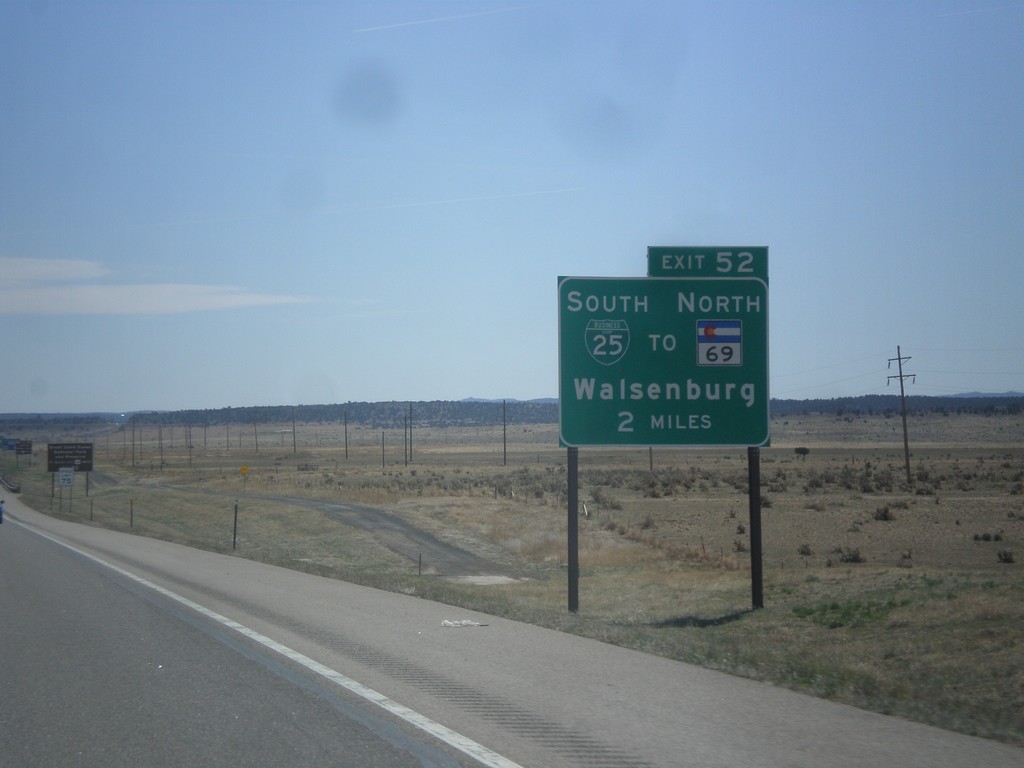
I-25 South - Exit 52
I-25 south approaching Exit 52 - BL-25/To CO-69 North/Walsenburg.
Taken 03-29-2014
Walsenburg
Huerfano County
Colorado
United States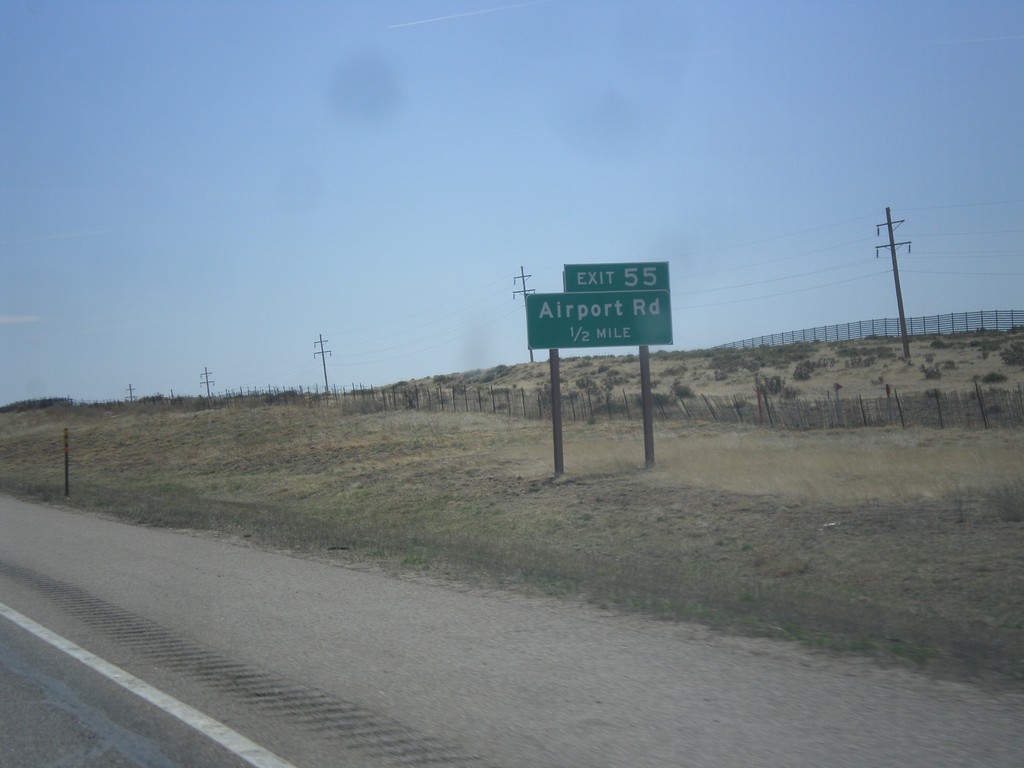
I-25 South - Exit 55
I-25 south approaching Exit 55 - Airport Road.
Taken 03-29-2014
Walsenburg
Huerfano County
Colorado
United States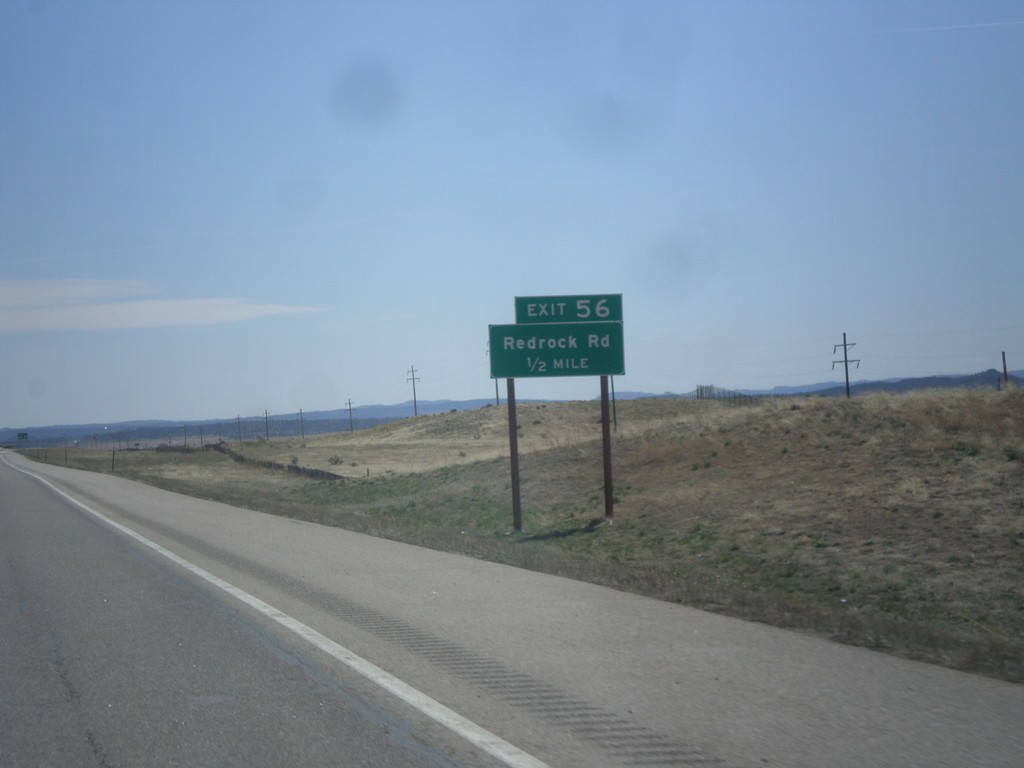
I-25 South - Exit 56
I-25 south approaching Exit 56 - Redrock Road.
Taken 03-29-2014
Walsenburg
Huerfano County
Colorado
United States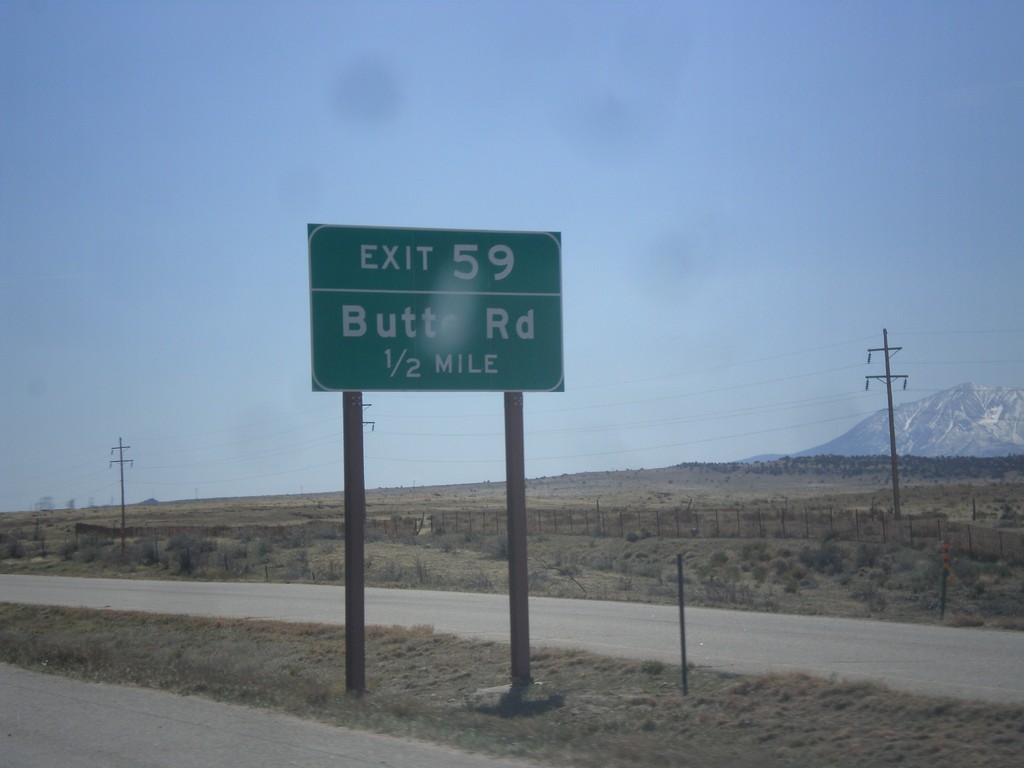
I-25 South - Exit 59
I-25 south approaching Exit 59 - Butte Road.
Taken 03-29-2014
Walsenburg
Huerfano County
Colorado
United States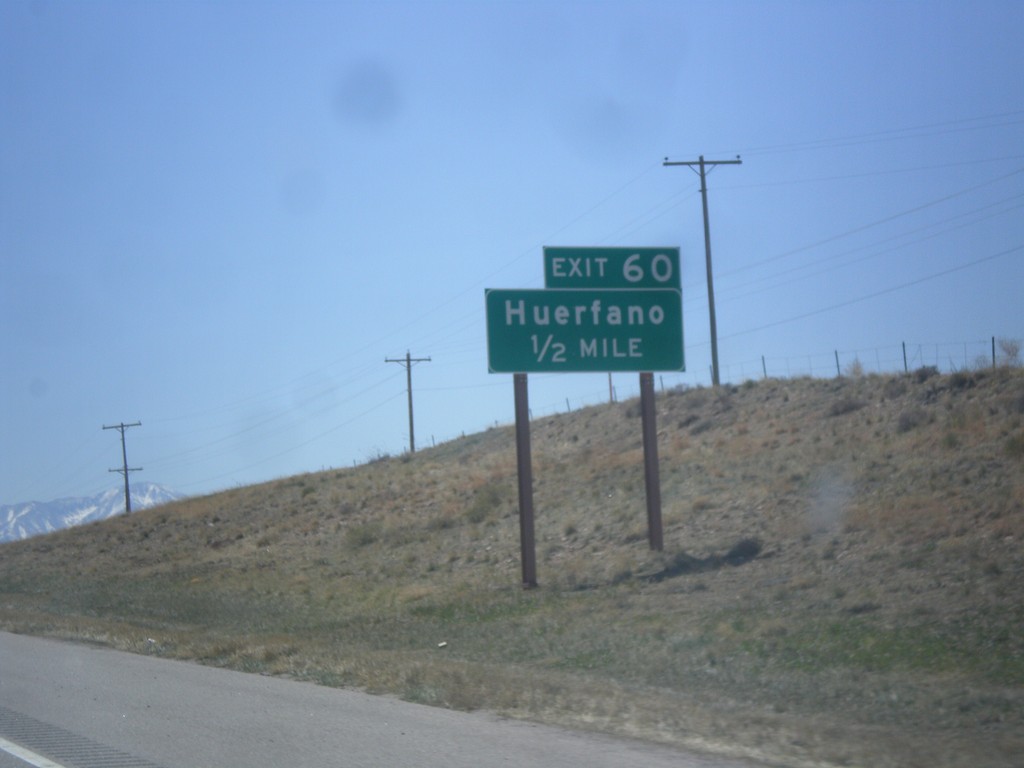
I-25 South - Exit 60
I-25 south approaching Exit 60 - Huerfano.
Taken 03-29-2014
Rye
Huerfano County
Colorado
United States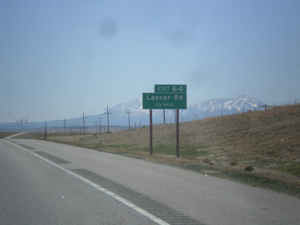
I-25 South - Exit 64
I-25 south approaching Exit 64 - Lascar Road. The Spanish Peaks are in the background.
Taken 03-29-2014
Rye
Huerfano County
Colorado
United States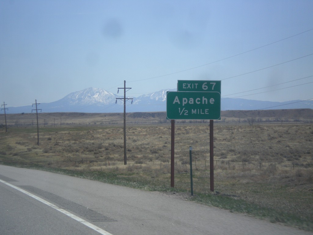
I-25 South - Exit 67
I-25 south approaching Exit 67 - Apache. The Spanish Peaks are in the background.
Taken 03-29-2014
Rye
Huerfano County
Colorado
United States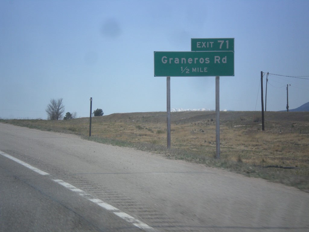
I-25 South - Exit 71
I-25 south approaching Exit 71 - Graneros Road.
Taken 03-29-2014
Pueblo
Pueblo County
Colorado
United States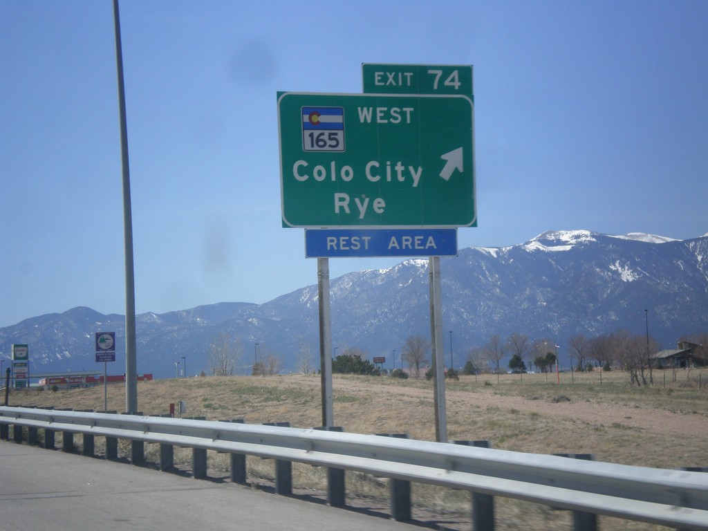
I-25 South - Exit 74
I-25 south at Exit 74 - CO-165/Colorado City/Rye.
Taken 03-29-2014
 Pueblo
 County
Colorado
United States
Pueblo
Pueblo County
Colorado
United States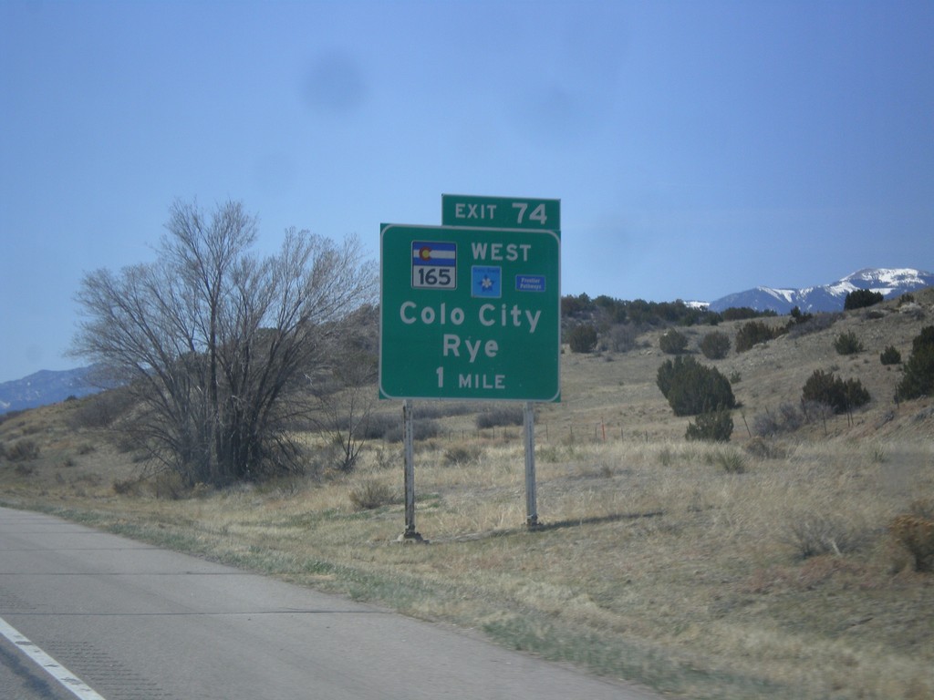
I-25 South Approaching Exit 74
I-25 south approaching Exit 74 - CO-165/Colorado City/Rye. CO-165 is part of the Frontier Pathways Scenic Byway.
Taken 03-29-2014
Pueblo
Pueblo County
Colorado
United States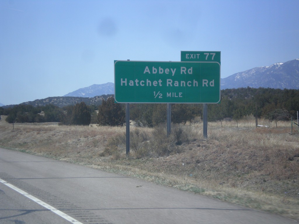
I-25 South - Exit 77
I-25 south approaching Exit 77 - Abbey Road/Hatchet Ranch Road.
Taken 03-29-2014
Pueblo
Pueblo County
Colorado
United States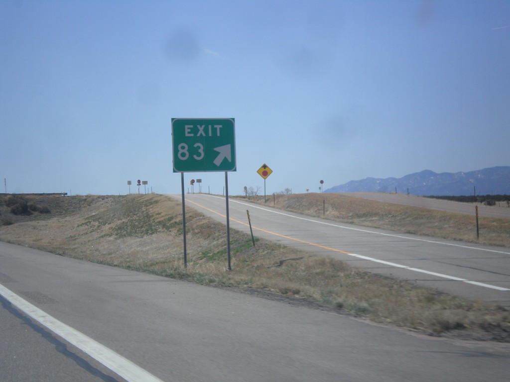
I-25 South - Exit 83
I-25 south at Exit 83 (No Name).
Taken 03-29-2014
Beulah Valley
Pueblo County
Colorado
United States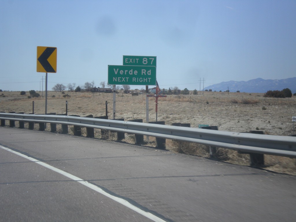
I-25 South - Exit 87
I-25 south approaching Exit 87 - Verde Road.
Taken 03-29-2014
Pueblo
Pueblo County
Colorado
United States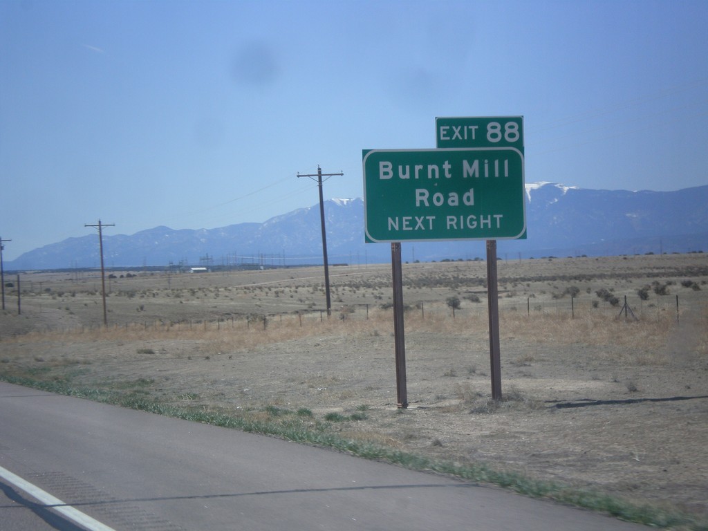
I-25 South - Exit 88
I-25 south at Exit 88 - Burnt Mill Road.
Taken 03-29-2014
Pueblo
Pueblo County
Colorado
United States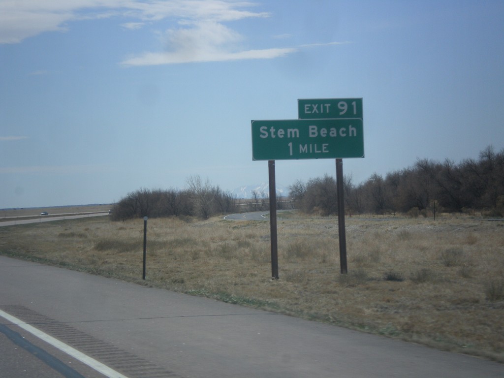
I-25 South - Exit 91
I-25 south at Exit 91 - Stem Beach.
Taken 03-29-2014
Pueblo
Pueblo County
Colorado
United States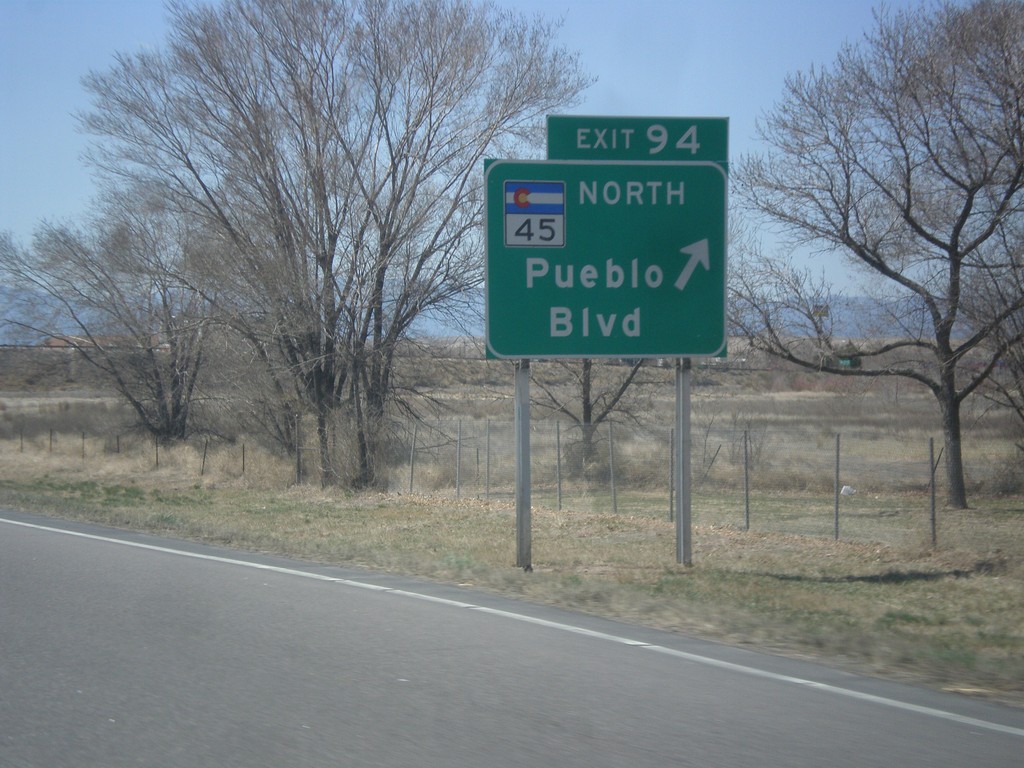
I-25 South - Exit 95
I-25 south at Exit 95 - CO-45 North/Pueblo Blvd. CO-45 is the western beltway around Pueblo.
Taken 03-29-2014
 Pueblo
 County
Colorado
United States
Pueblo
Pueblo County
Colorado
United States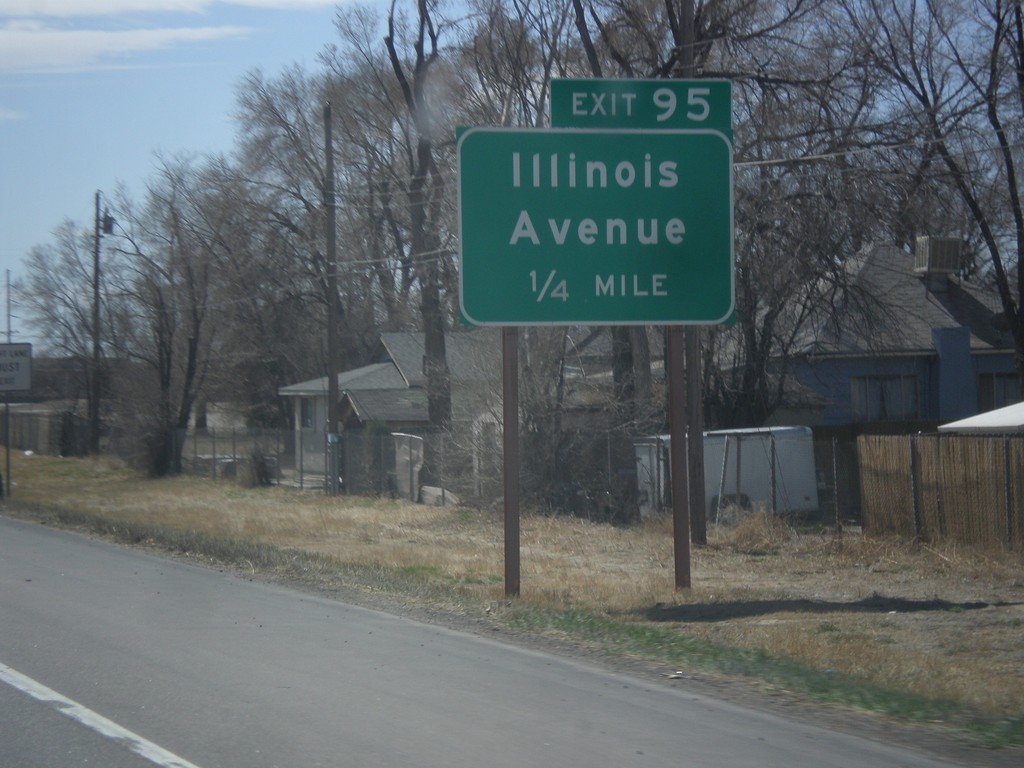
I-25 South - Exit 95
I-25 south approaching Exit 95 - Illinois Ave.
Taken 03-29-2014
Pueblo
Pueblo County
Colorado
United States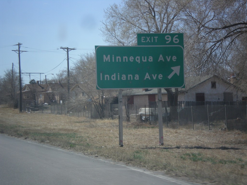
I-25 South - Exit 96
I-25 south at Exit 96 - Minnequa Ave./Indiana Ave.
Taken 03-29-2014
Pueblo
Pueblo County
Colorado
United States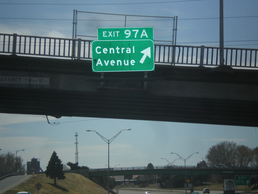
I-25 South - Exit 97A
I-25 south at Exit 97A - Central Ave.
Taken 03-29-2014
Pueblo
Pueblo County
Colorado
United States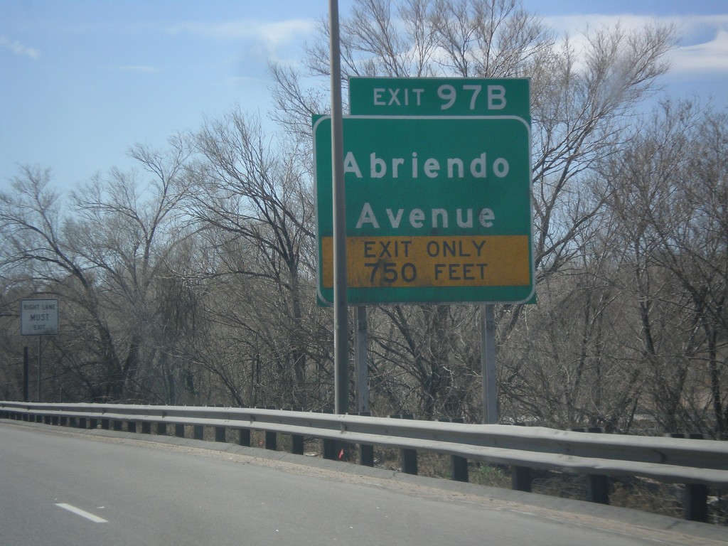
I-25 South - Exit 97B
I-25 south at Exit 97B - Abriendo Ave.
Taken 03-29-2014
Pueblo
Pueblo County
Colorado
United States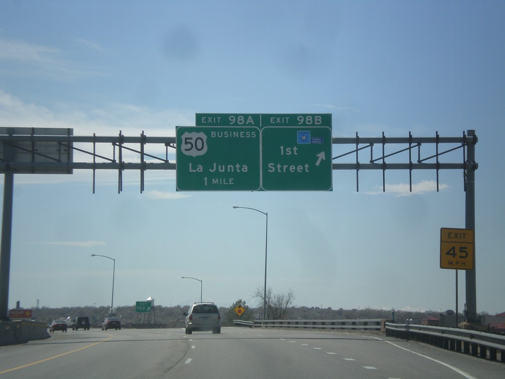
I-25 South - Exit 98B and 98A
I-25 south at Exit 98B - 1st St. Approaching Exit 98A - Business US-50/La Junta. Use 1st St. to access the Frontier Pathways Scenic Byway.
Taken 03-29-2014
 Pueblo
 County
Colorado
United States
Pueblo
Pueblo County
Colorado
United States