Signs Tagged With Freeway Junction
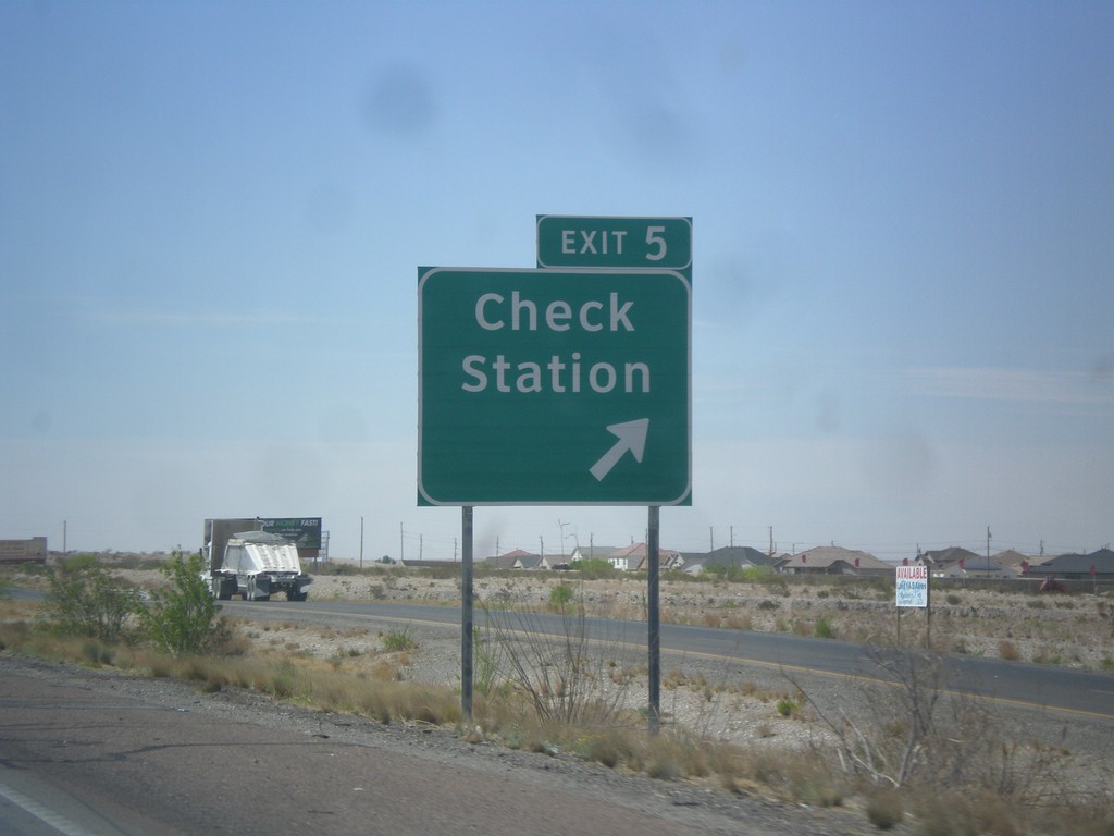
I-10 East - Exit 5
I-10 east at Exit 5 - Check Station.
Taken 04-15-2013
 Canutillo
El Paso County
Texas
United States
Canutillo
El Paso County
Texas
United States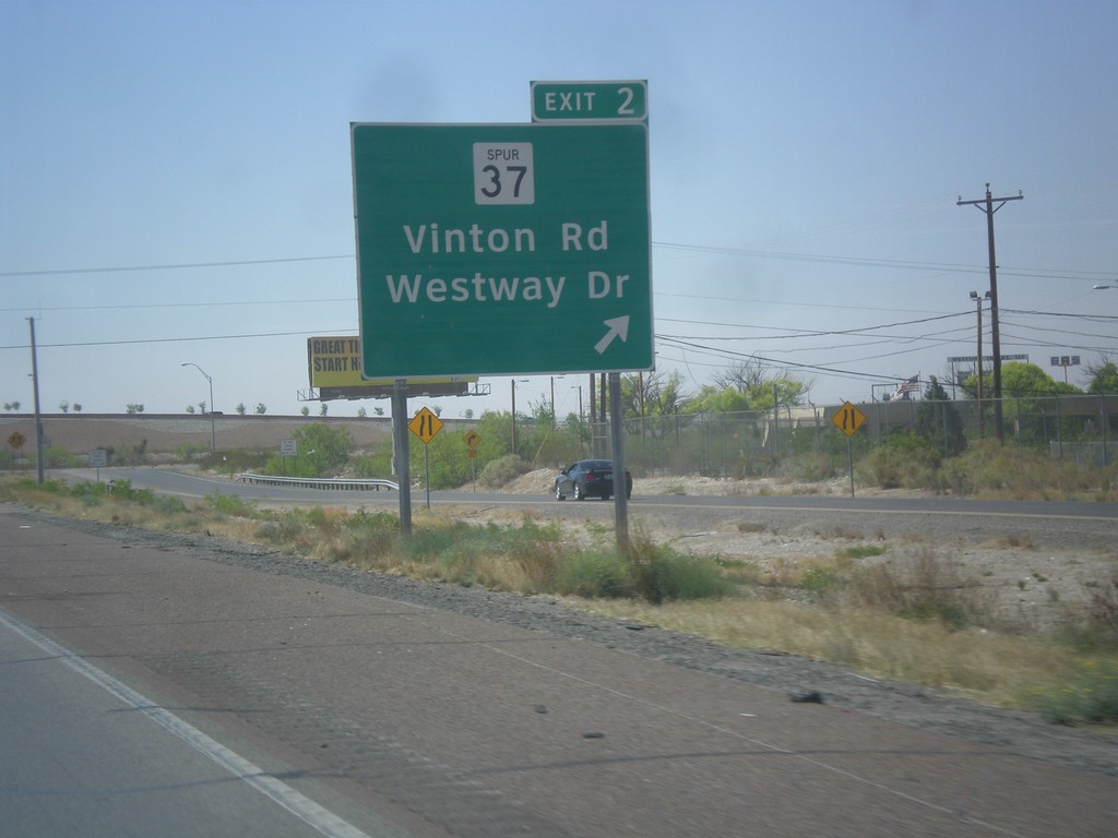
I-10 East - Exit 2
I-10 east at Exit 2 - TX-37 Spur/Vinton Road/Westway Drive.
Taken 04-15-2013
 Canutillo
El Paso County
Texas
United States
Canutillo
El Paso County
Texas
United States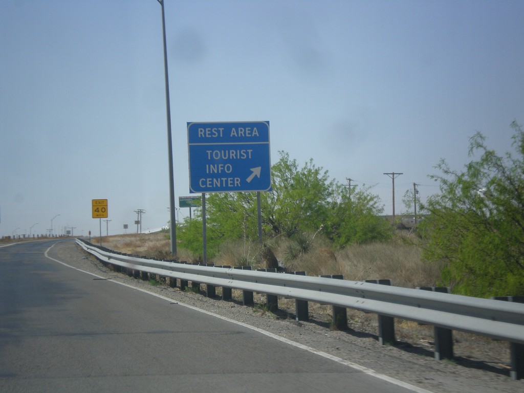
I-10 East - Rest Area and Welcome Center
I-10 east at Rest Area/Tourist Welcome Center just east of the New Mexico/Texas State Line.
Taken 04-15-2013
Anthony
El Paso County
Texas
United States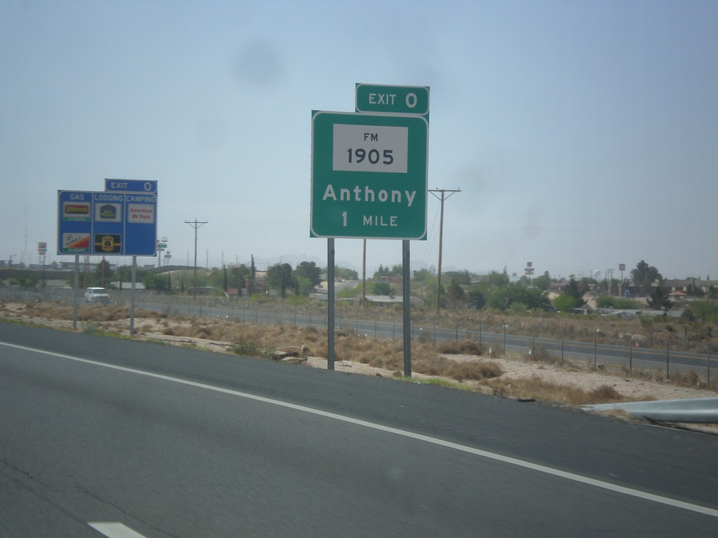
I-10 East - Exit 0
I-10 east in New Mexico approaching Exit 0 (Texas) FM-1905/Anthony.
Taken 04-15-2013
 Anthony
Doña Ana County
New Mexico
United States
Anthony
Doña Ana County
New Mexico
United States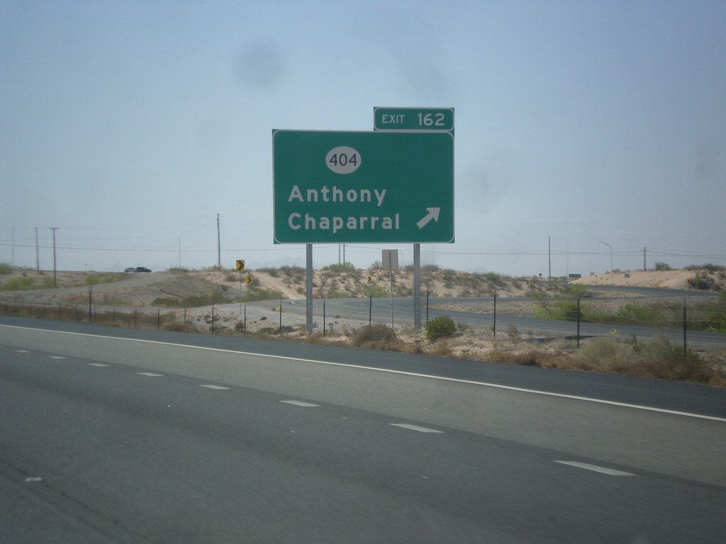
I-10 East - Exit 164
I-10 east at Exit 164 - NM-404/Anthony/Chaparral.
Taken 04-15-2013
Anthony
Doña Ana County
New Mexico
United States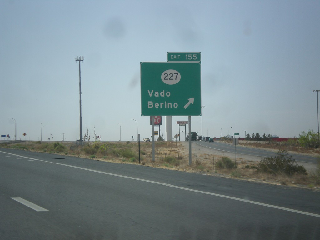
I-10 East - Exit 155
I-10 east at Exit 155 - NM-227/Vado/Berino.
Taken 04-15-2013
 Mesquite
Doña Ana County
New Mexico
United States
Mesquite
Doña Ana County
New Mexico
United States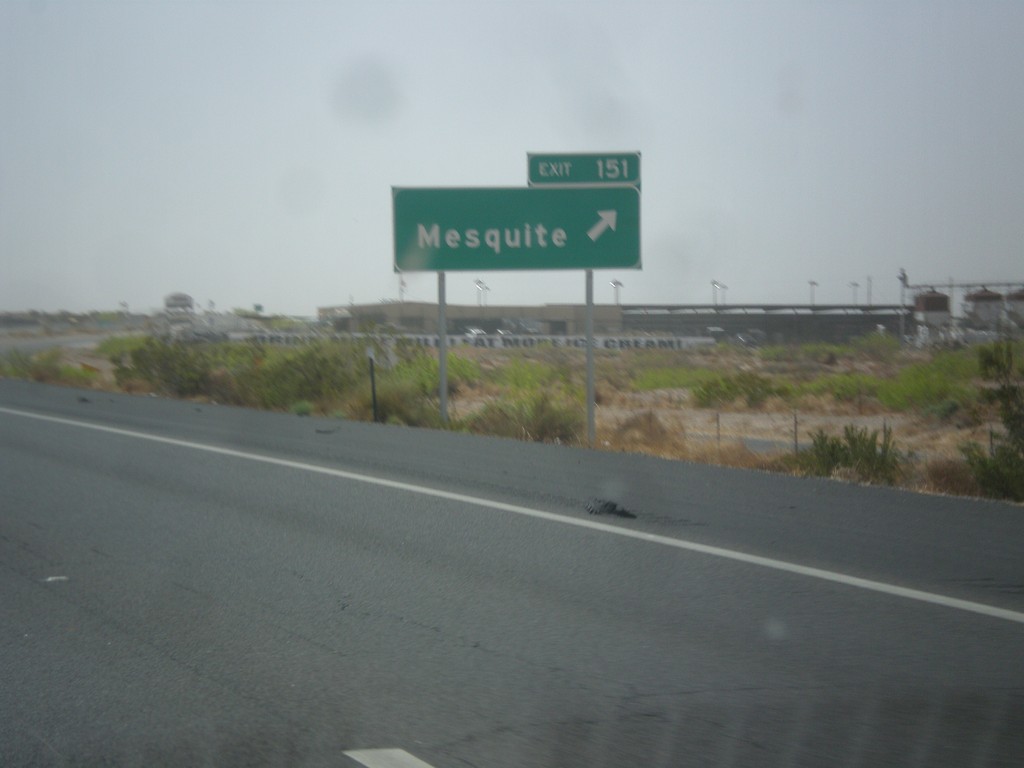
I-10 East - Exit 151
I-10 east at Exit 151 - Mesquite.
Taken 04-15-2013
Mesquite
Doña Ana County
New Mexico
United States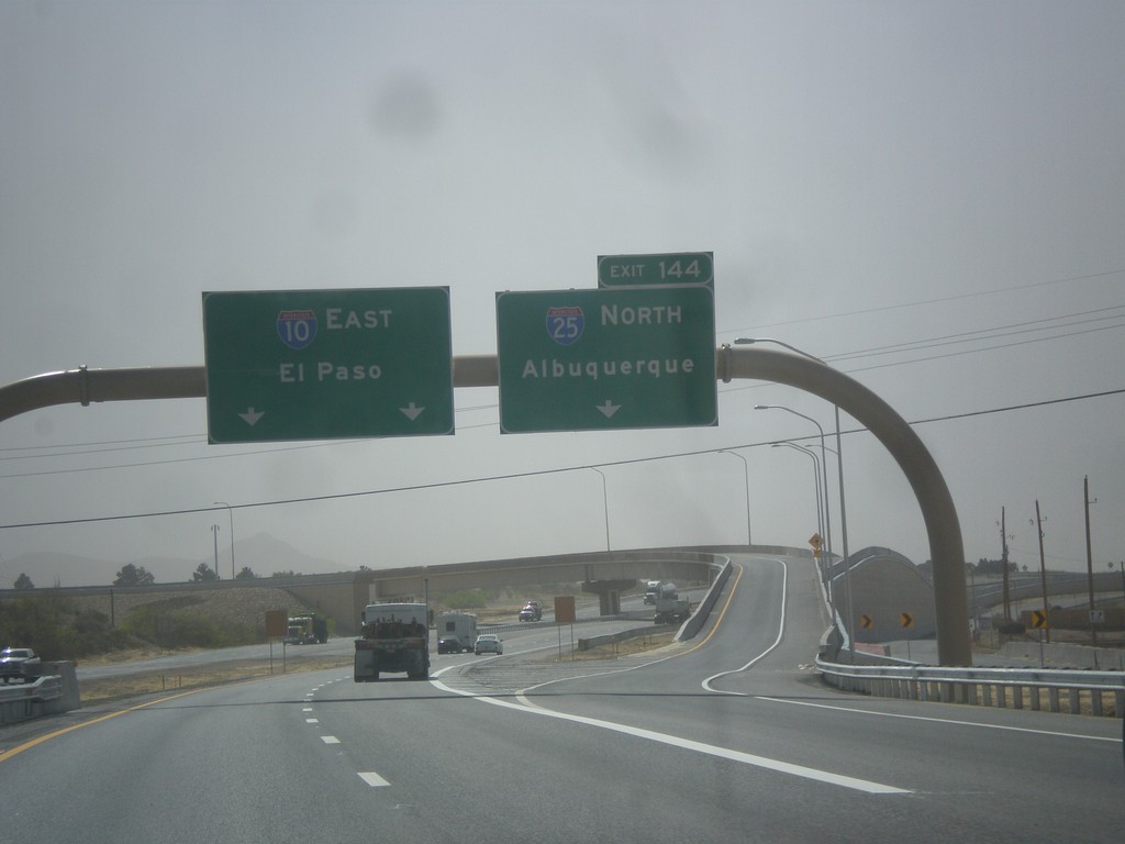
I-10 East - Exit 144
I-10 east at Exit 144 - I-25 North/Albuquerque. This is the southern end of I-25. I-10 continues east towards El Paso.
Taken 04-15-2013
 Las Cruces
Doña Ana County
New Mexico
United States
Las Cruces
Doña Ana County
New Mexico
United States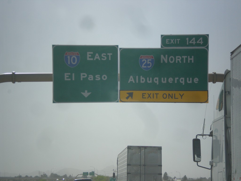
I-10 East Approaching Exit 144
I-10 east approaching Exit 144 - I-25 North/Albuquerque. I-10 continues east towards El Paso.
Taken 04-15-2013
Las Cruces
Doña Ana County
New Mexico
United States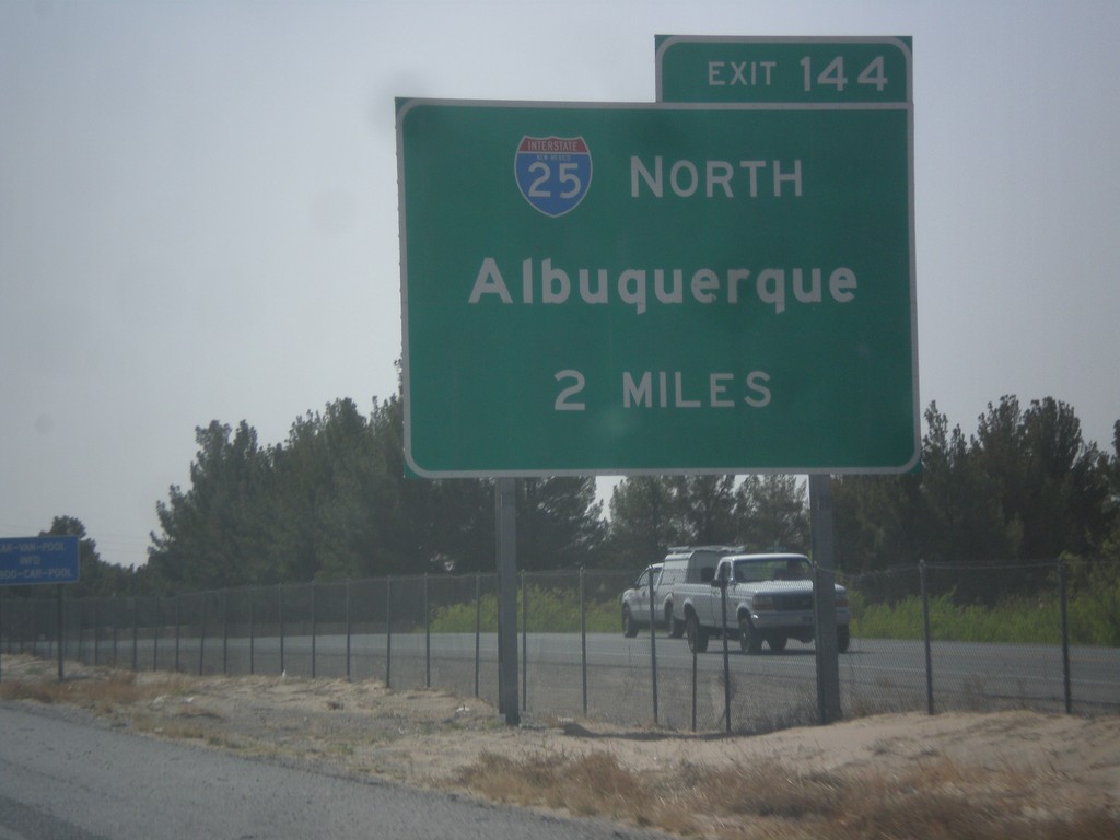
I-10 East Approaching I-25
I-10 east approaching Exit 144 - I-25 North/Albuquerque.
Taken 04-15-2013
Las Cruces
Doña Ana County
New Mexico
United States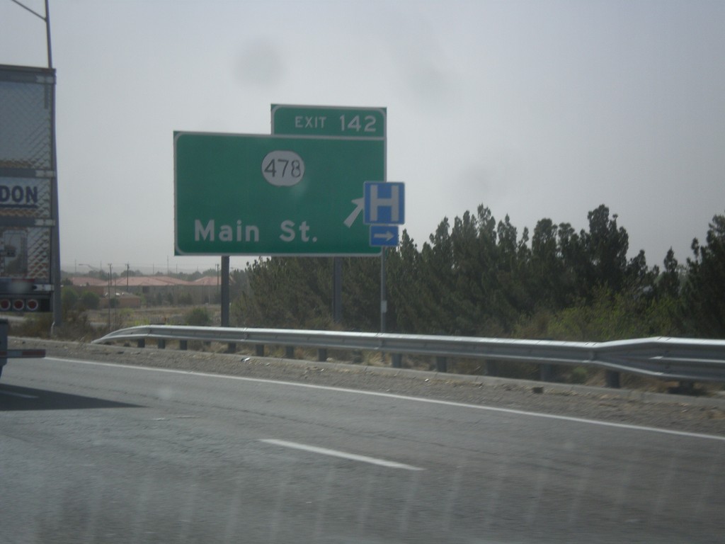
I-10 East - Exit 142
I-10 east at Exit 142 - NM-478/Main St.
Taken 04-15-2013
 Las Cruces
Doña Ana County
New Mexico
United States
Las Cruces
Doña Ana County
New Mexico
United States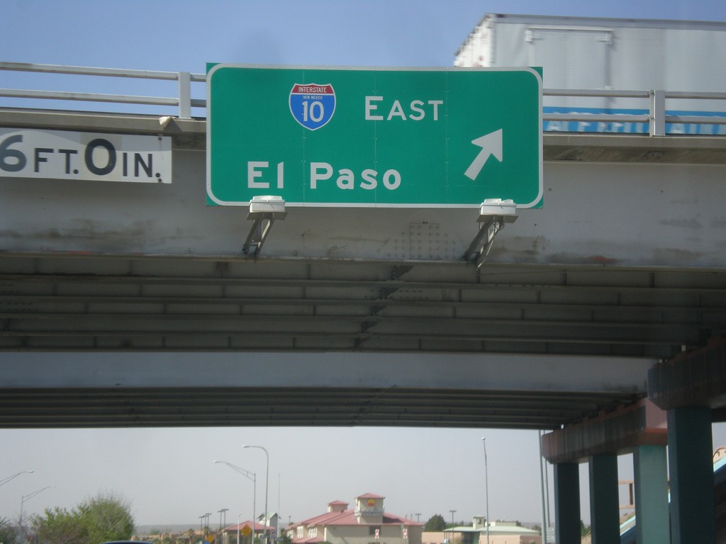
NM-28 South at I-10 East
NM-28 south at I-10 east to El Paso (Exit 140).
Taken 04-15-2013
 Las Cruces
Doña Ana County
New Mexico
United States
Las Cruces
Doña Ana County
New Mexico
United States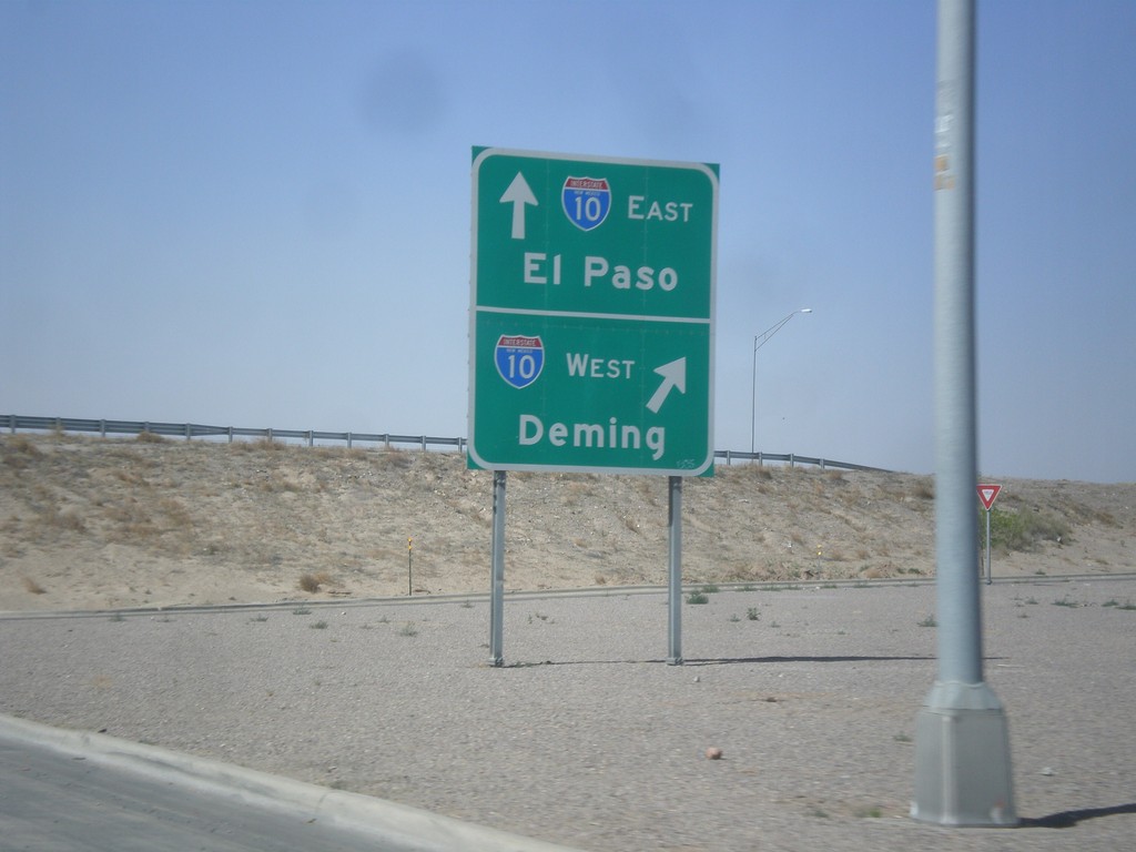
NM-28 South at I-10
NM-28 south at I-10 (Exit 140). Merge right for I-10 west to Deming; continue under freeway for I-10 east to El Paso.
Taken 04-15-2013
Las Cruces
Doña Ana County
New Mexico
United States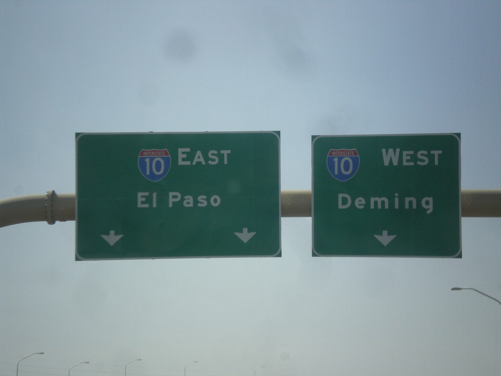
End I-25 South at I-10
End I-25 south at I-10. Merge right for I-10 west to Deming; merge left for I-10 east to El Paso.
Taken 04-15-2013
Las Cruces
Doña Ana County
New Mexico
United States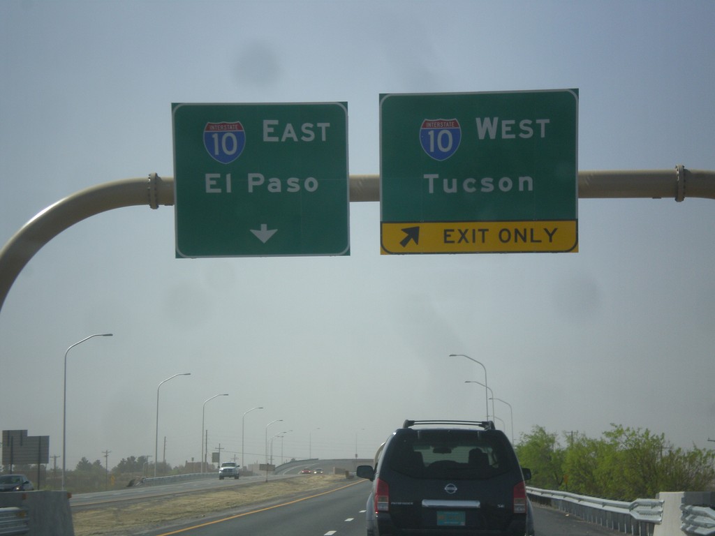
I-25 South Approaching I-10
I-25 south approaching I-10 jct. Use right lanes for I-10 west to Tucson; left lanes for I-10 east to El Paso.
Taken 04-15-2013
Las Cruces
Doña Ana County
New Mexico
United States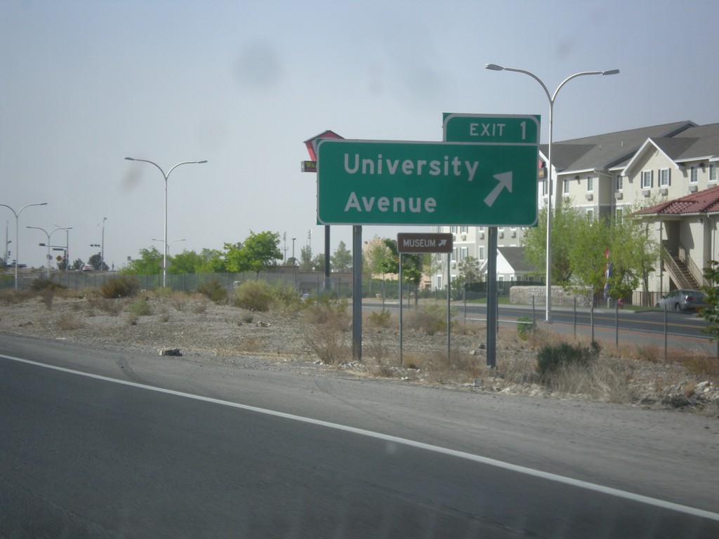
I-25 South - Exit 1
I-25 south at Exit 1 - University Ave.
Taken 04-15-2013
Las Cruces
Doña Ana County
New Mexico
United States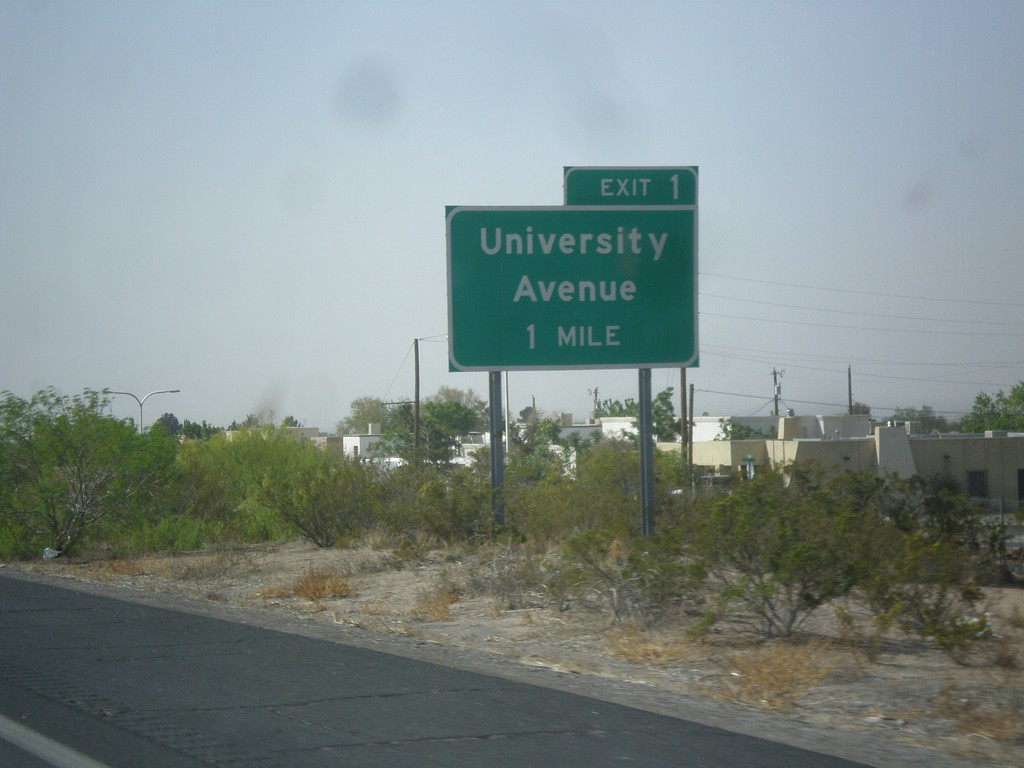
I-25 South Approaching Exit 1
I-25 south approaching Exit 1 - University Ave.
Taken 04-15-2013
Las Cruces
Doña Ana County
New Mexico
United States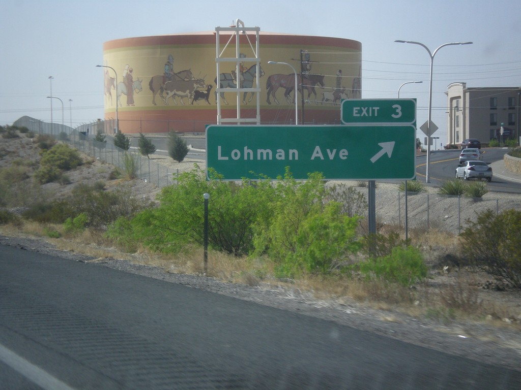
I-25 South - Exit 3
I-25 south at Exit 3 - Lohman Ave.
Taken 04-15-2013
Las Cruces
Doña Ana County
New Mexico
United States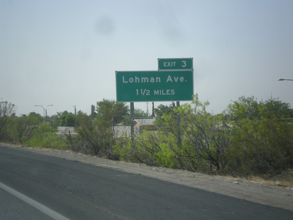
I-25 South Approaching Exit 3
I-25 south approaching Exit 3 - Lohman Ave.
Taken 04-15-2013
Las Cruces
Doña Ana County
New Mexico
United States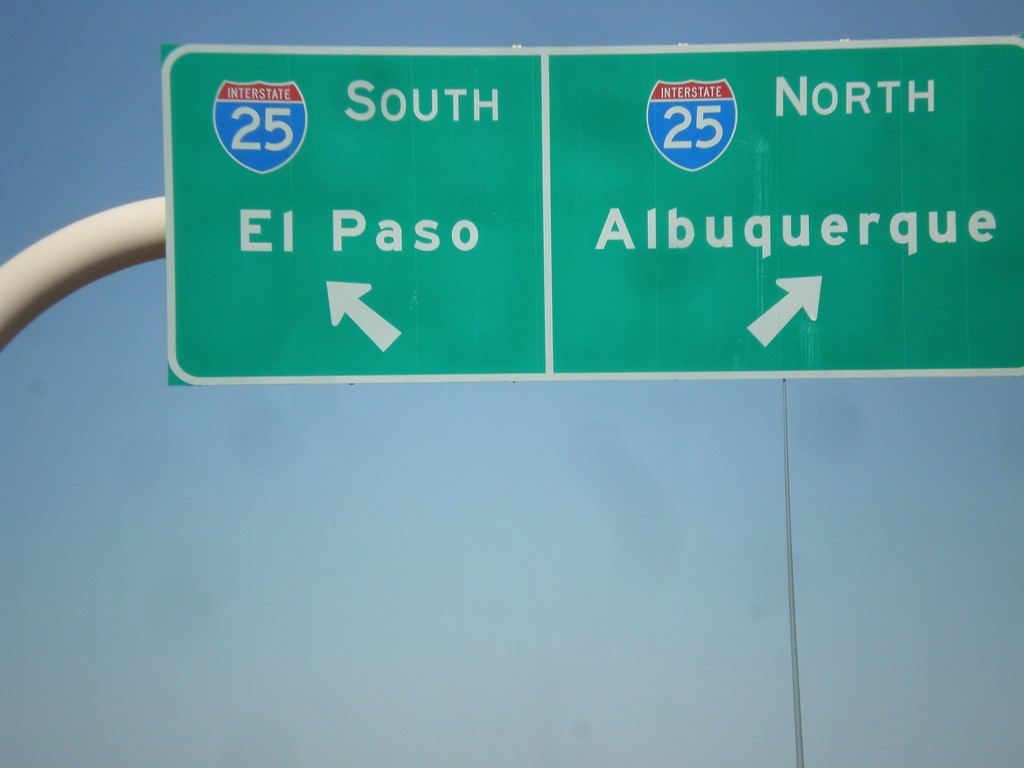
US-70 West/I-25 Junction
US-70 west to I-25 ramp. Use left lane for I-25 south to El Paso; use right lane for I-25 north to Albuquerque.
Taken 04-15-2013
 Las Cruces
Doña Ana County
New Mexico
United States
Las Cruces
Doña Ana County
New Mexico
United States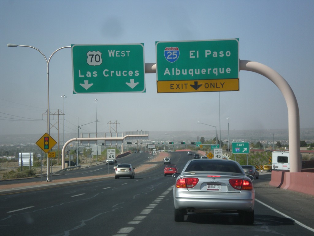
US-70 West at I-25
US-70 west at I-25 to Albuquerque and El Paso. Continue west on US-70 towards Las Cruces.
Taken 04-15-2013
Las Cruces
Doña Ana County
New Mexico
United States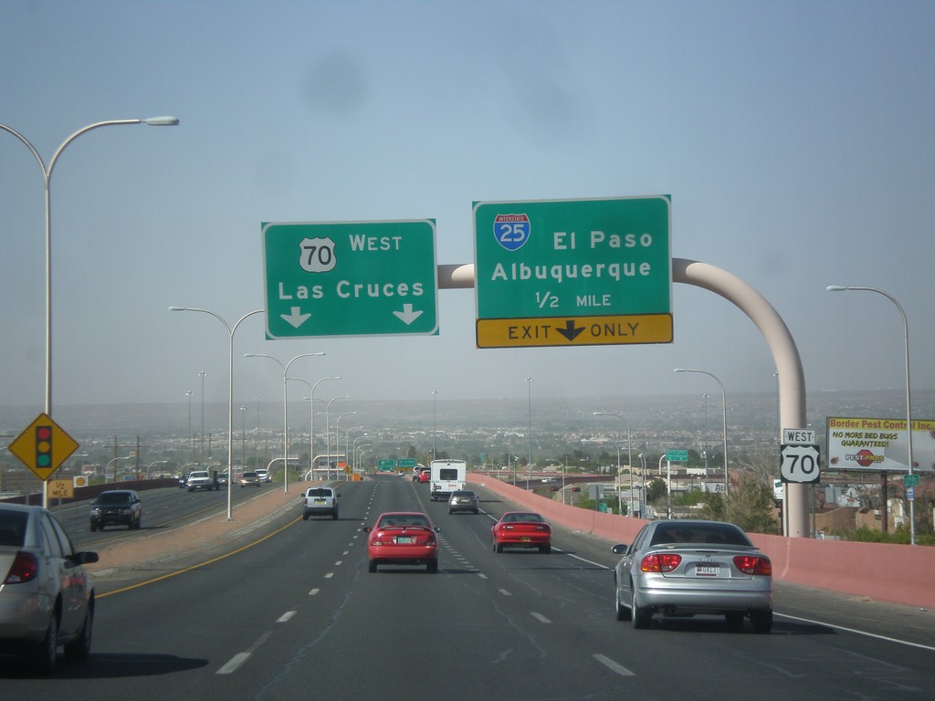
US-70 West Approaching I-25
US-70 west approaching I-25 to El Paso and Albuquerque. Continue west on US-70 for Las Cruces.
Taken 04-15-2013
Las Cruces
Doña Ana County
New Mexico
United States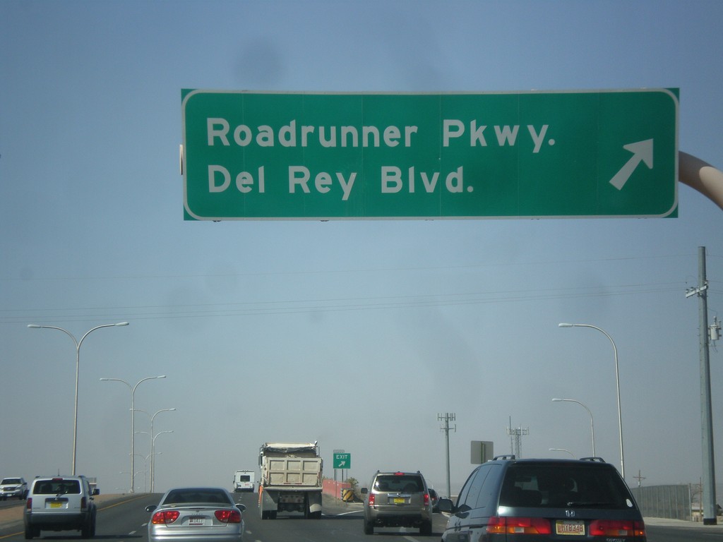
US-70 West - Roadrunner Parkway IC
US-70 west at Roadrunner Parkway/Del Rey Blvd. interchange.
Taken 04-15-2013
Las Cruces
Doña Ana County
New Mexico
United States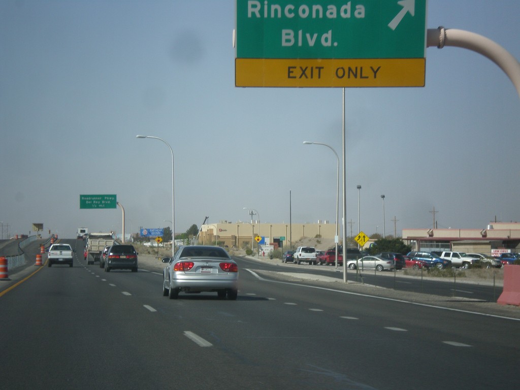
US-70 West - Rinconada IC
US-70 west at Rinconada interchange.
Taken 04-15-2013
Las Cruces
Doña Ana County
New Mexico
United States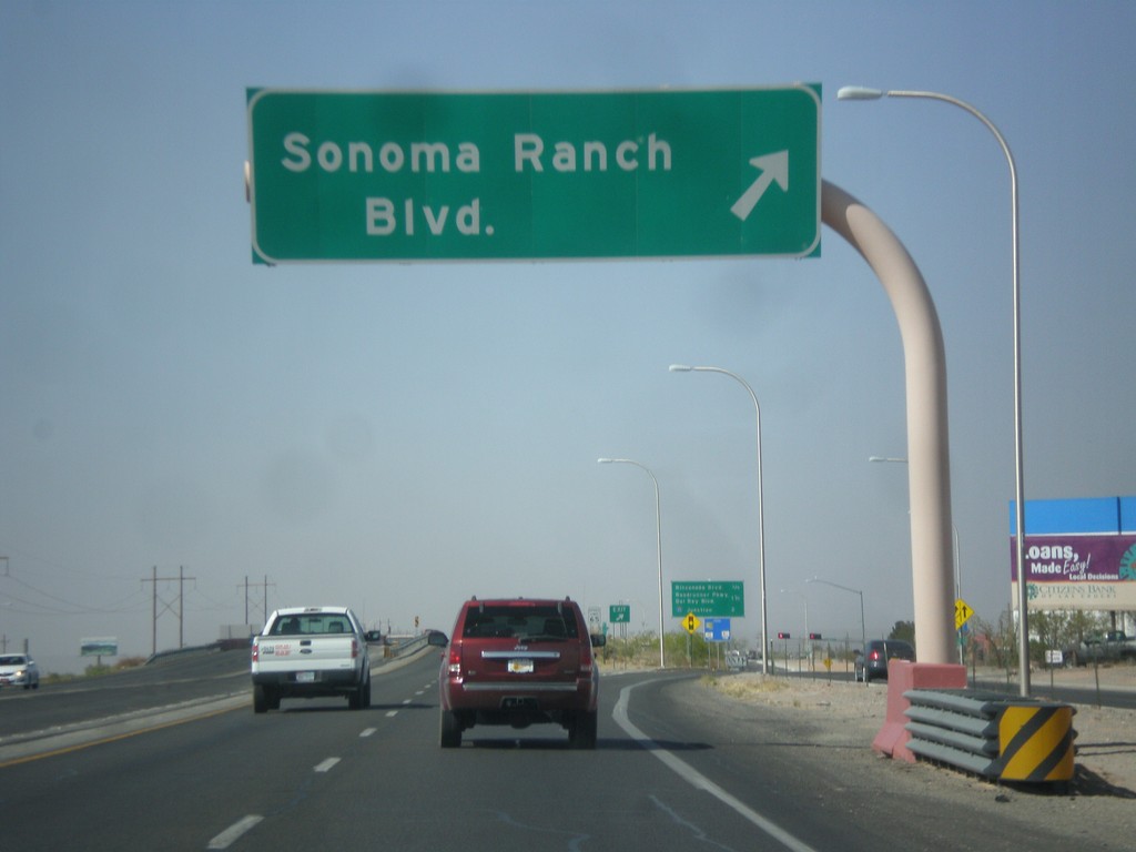
US-70 West - Sonoma Ranch IC
US-70 west at Sonoma Ranch Blvd. Interchange.
Taken 04-15-2013
Las Cruces
Doña Ana County
New Mexico
United States