Signs Tagged With Freeway Junction
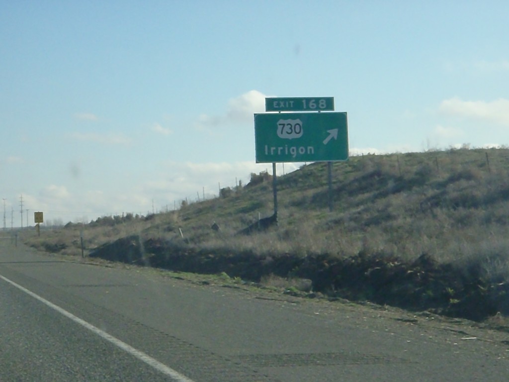
I-84 East - Exit 168
I-84 east at Exit 168 - US-730/Irrigon. The internal Oregon State Highway 2 - The Columbia River Highway leaves I-84 here and joins US-730. I-84 continues east as Oregon State Highway 6 - The Old Oregon Trail Highway.
Taken 01-19-2011


 Boardman
Morrow County
Oregon
United States
Boardman
Morrow County
Oregon
United States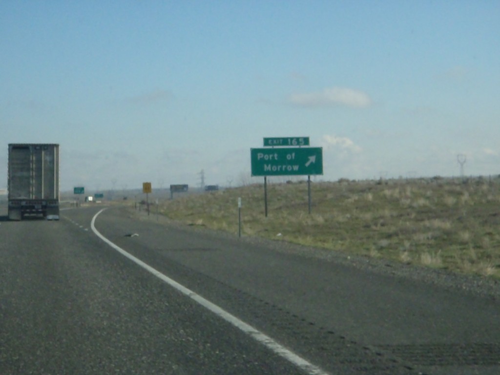
I-84 East - Exit 165
I-84 east at Exit 165 - Port of Morrow
Taken 01-19-2011
Boardman
Morrow County
Oregon
United States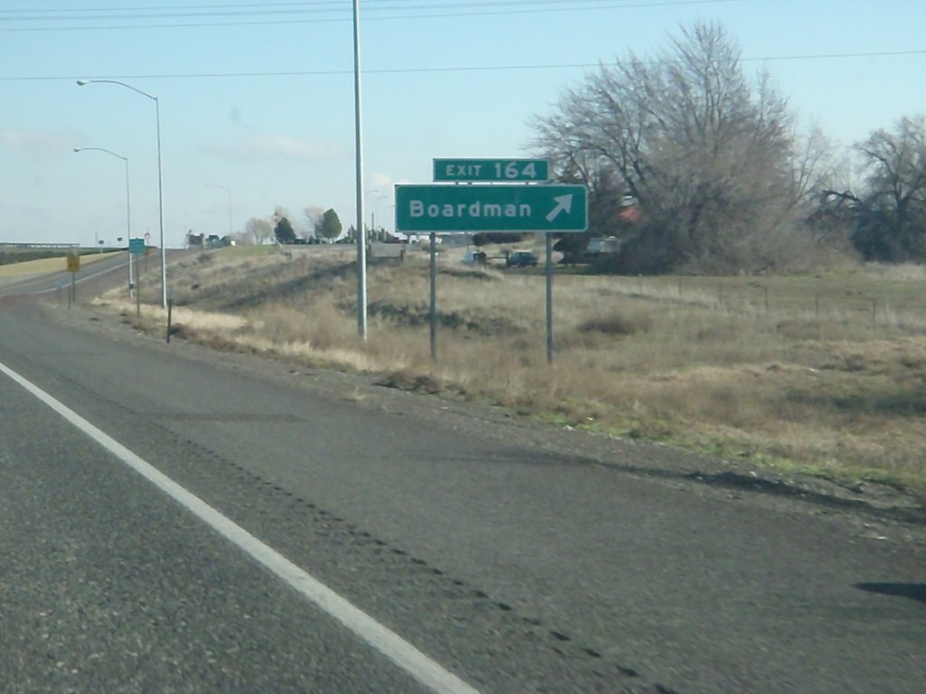
I-84 East - Exit 164
I-84 east at Exit 164 - Boardman
Taken 01-19-2011
Boardman
Morrow County
Oregon
United States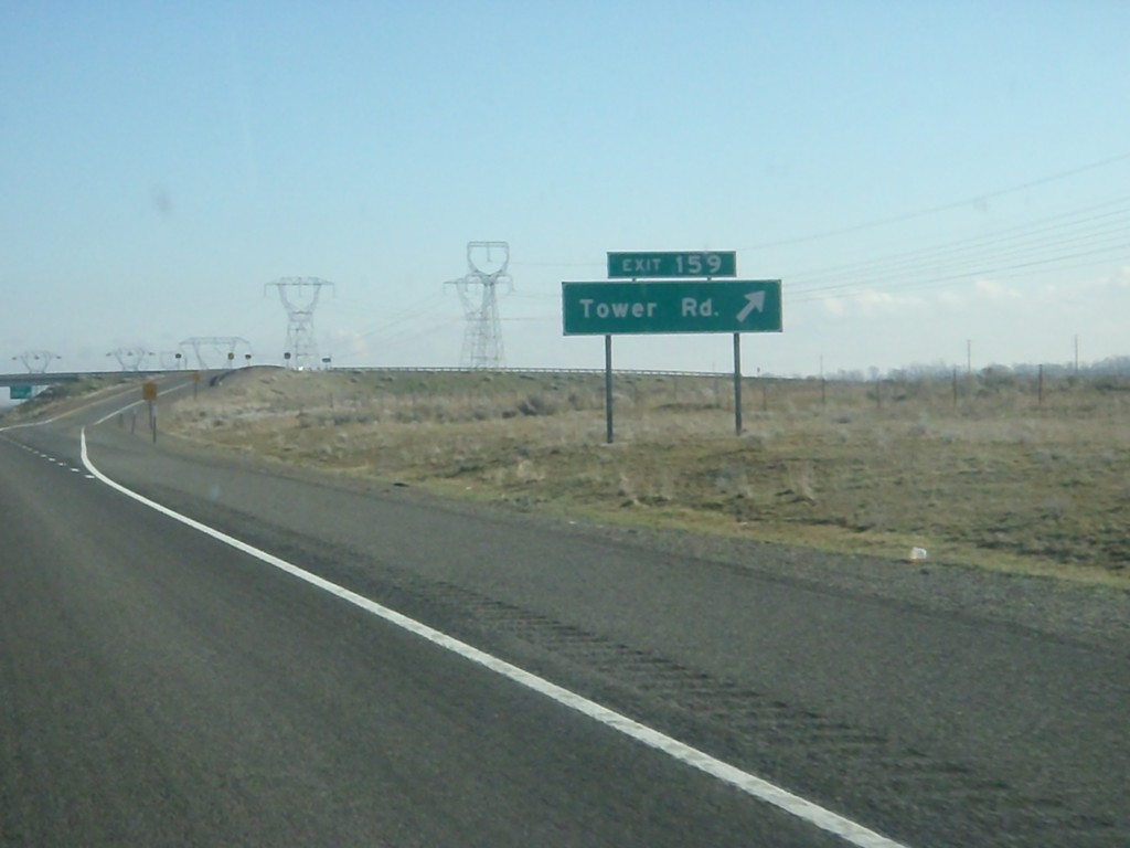
I-84 East - Exit 159
I-84 east at Exit 159 - Tower Road.
Taken 01-19-2011
Boardman
Morrow County
Oregon
United States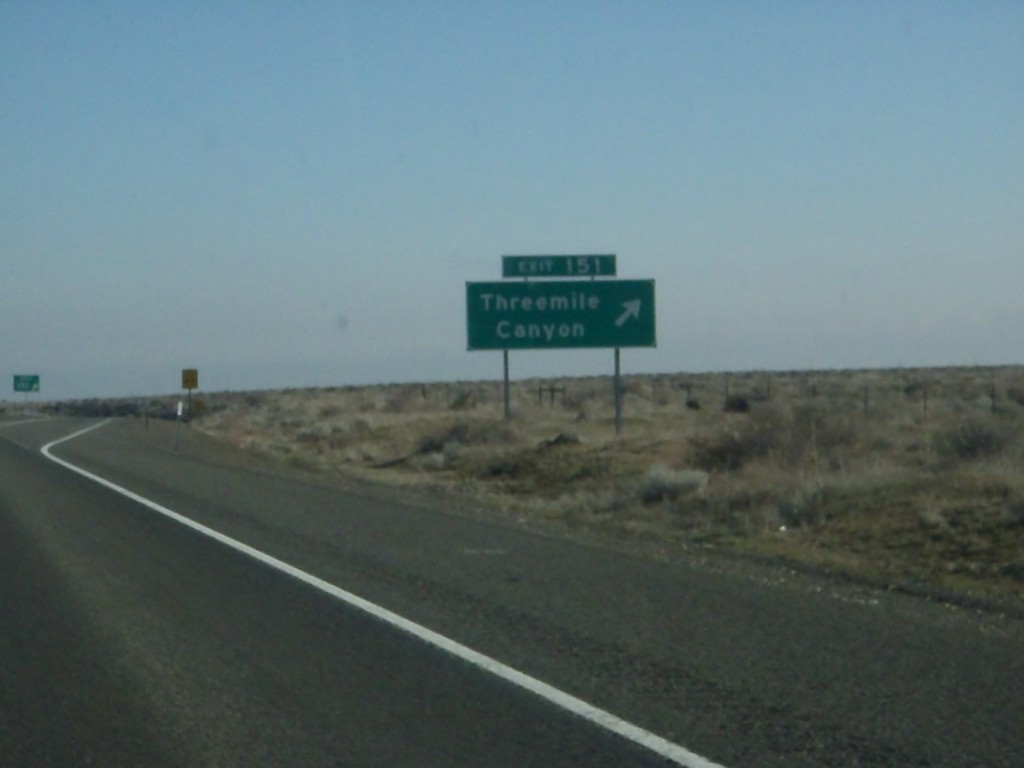
I-84 East - Exit 151
I-84 east at Exit 151 - Threemile Canyon
Taken 01-19-2011
Boardman
Morrow County
Oregon
United States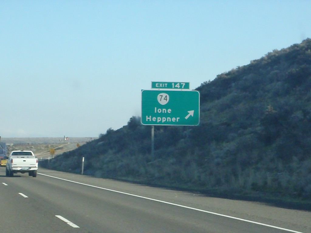
I-84 East - Exit 147
I-84 east at Exit 147 - OR-74/Ione/Heppner.
Taken 01-19-2011
 Ione
Gilliam County
Oregon
United States
Ione
Gilliam County
Oregon
United States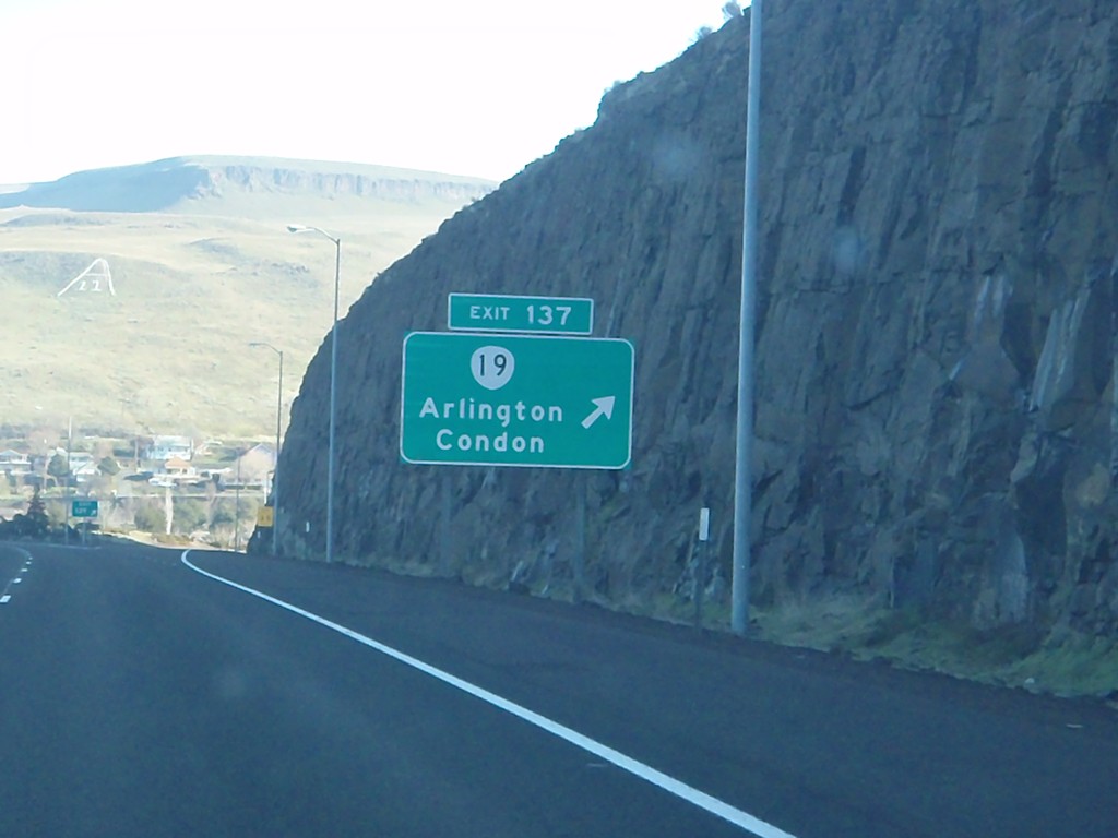
I-84 East - Exit 137
I-84 east at Exit 137 - OR-19/Arlington/Condon.
Taken 01-19-2011
Arlington
Gilliam County
Oregon
United States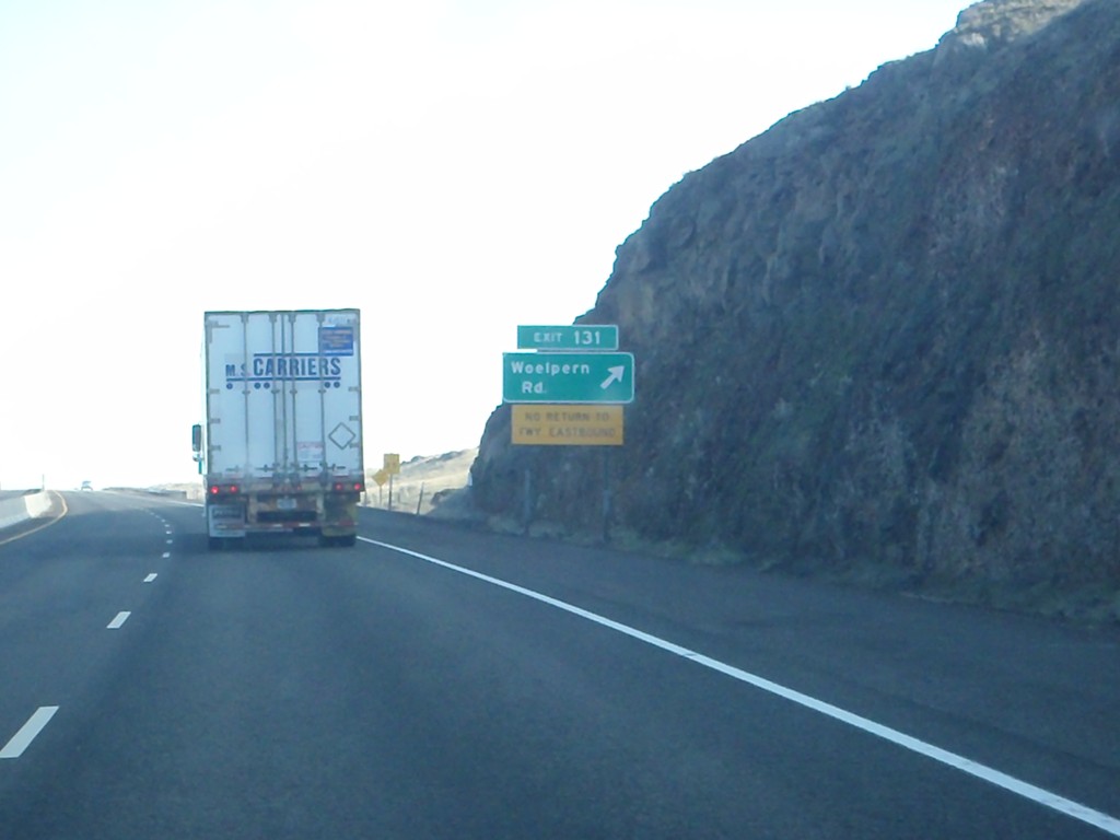
I-84 East - Exit 131
I-84 east at Exit 131 - Woelpern Road. Exit 131 is an eastbound only exit, and only returns back to the freeway westbound.
Taken 01-19-2011
Arlington
Gilliam County
Oregon
United States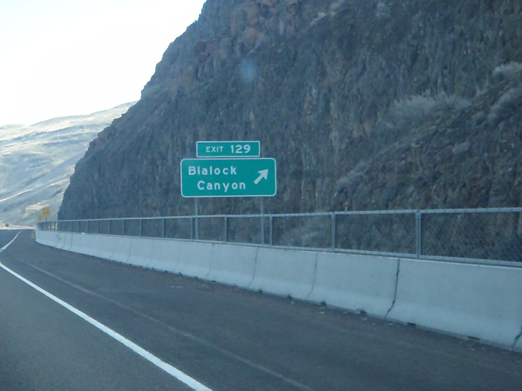
I-84 East - Exit 129
I-84 east at Exit 129 - Blalock Canyon.
Taken 01-19-2011
Arlington
Gilliam County
Oregon
United States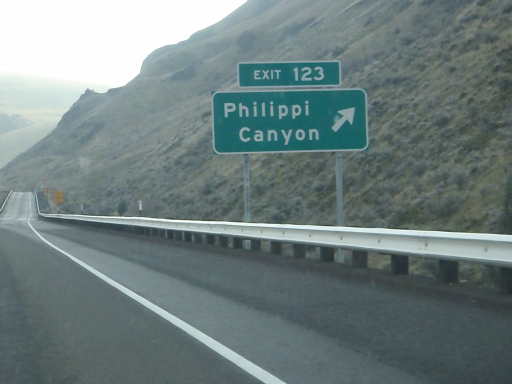
I-84 East - Exit 123
I-84 east at Exit 123 - Philippi Canyon.
Taken 01-19-2011
Arlington
Gilliam County
Oregon
United States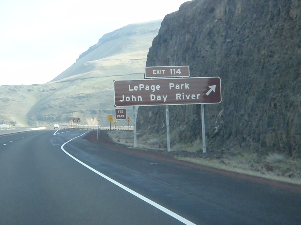
I-84 East - Exit 114
I-84 east at Exit 114 - LePage Park/John Day River.
Taken 01-19-2011
Rufus
Sherman County
Oregon
United States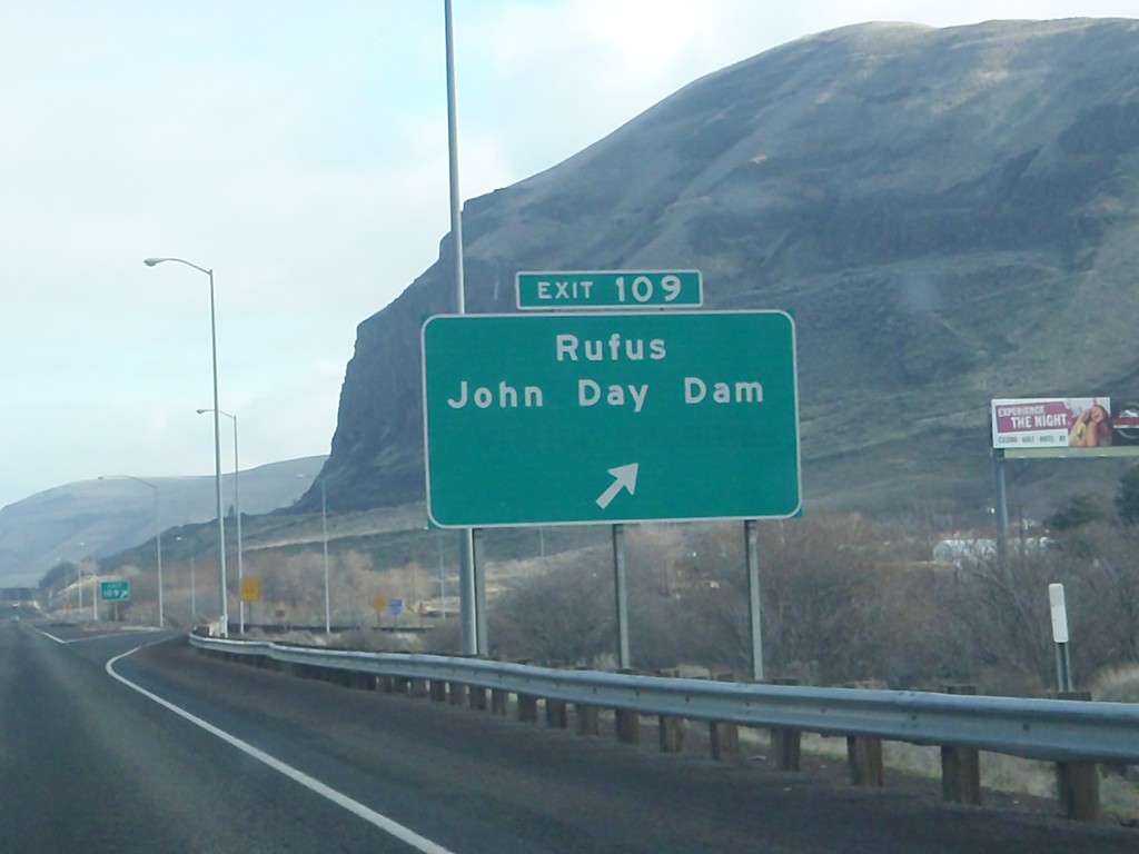
I-84 East - Exit 109
I-84 east at Exit 109 - Rufus/John Day Dam. John Day Dam is the third dam on the Columbia River from the Pacific Ocean.
Taken 01-19-2011
Rufus
Sherman County
Oregon
United States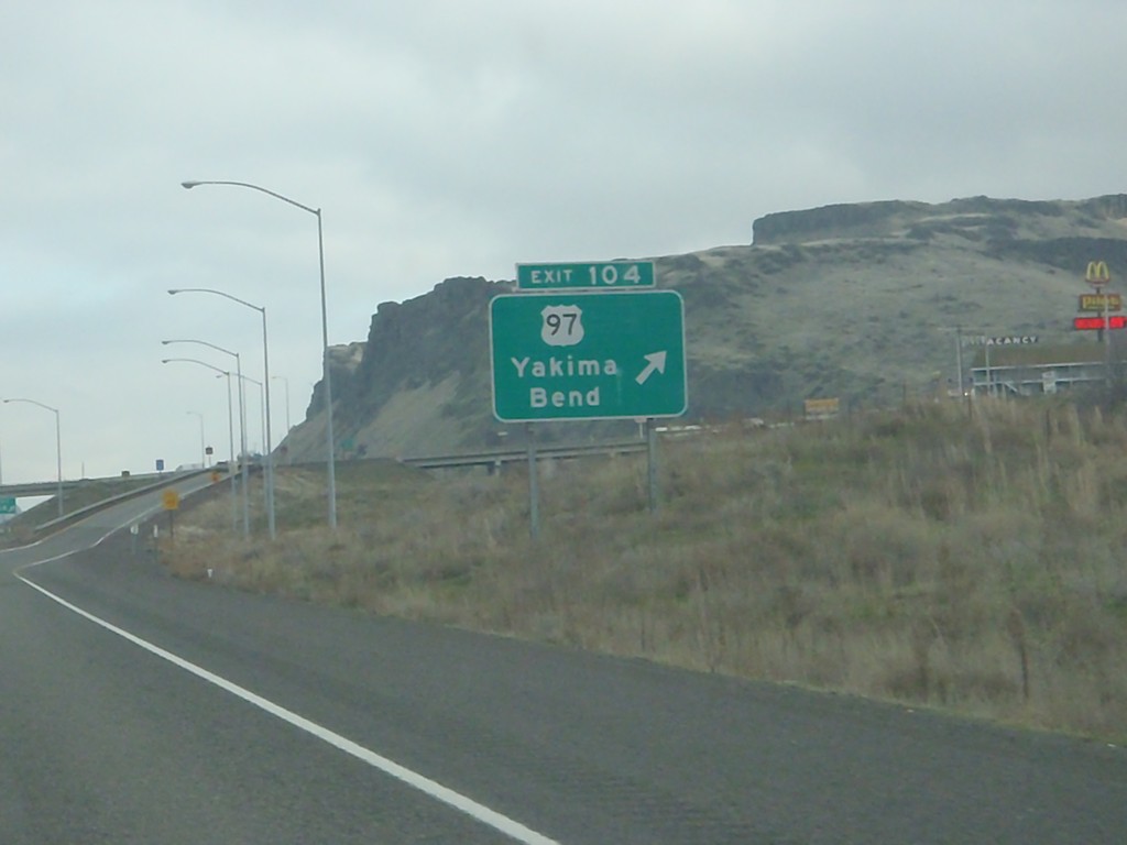
I-84 East - Exit 104
I-84 east at Exit 104 - US-97/Yakima/Bend. US-97 is the major north/south highway through Central Oregon, connecting Klamath Falls with Bend. US-97 crosses the Columbia River into Washington just north of here.
Taken 01-19-2011
 Biggs Junction
Sherman County
Oregon
United States
Biggs Junction
Sherman County
Oregon
United States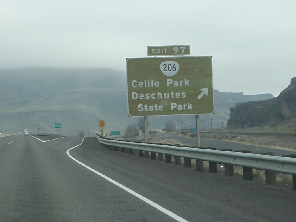
I-84 East - Exit 97
I-84 east at Exit 97 - OR-206/Celilo Park/Deschutes State Park.
Taken 01-19-2011
 Fairbanks
Wasco County
Oregon
United States
Fairbanks
Wasco County
Oregon
United States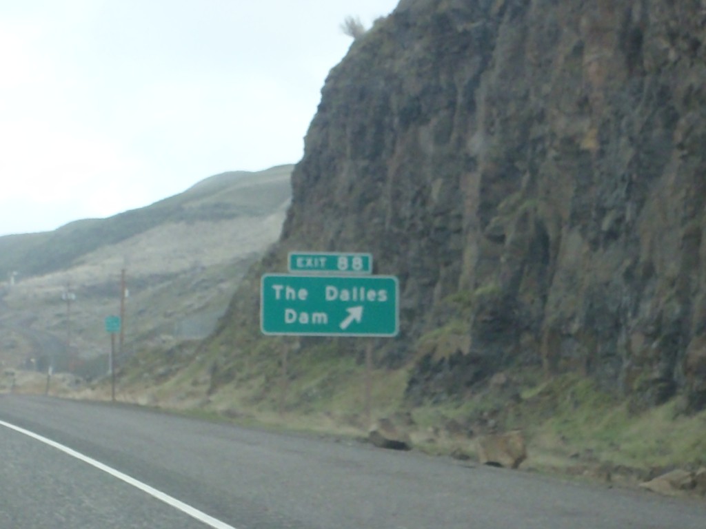
I-84 East - Exit 88
I-84 east at Exit 88 - The Dalles Dam. The Dalles Dam is the second dam on the Columbia River from the Pacific Ocean.
Taken 01-19-2011
The Dalles
Wasco County
Oregon
United States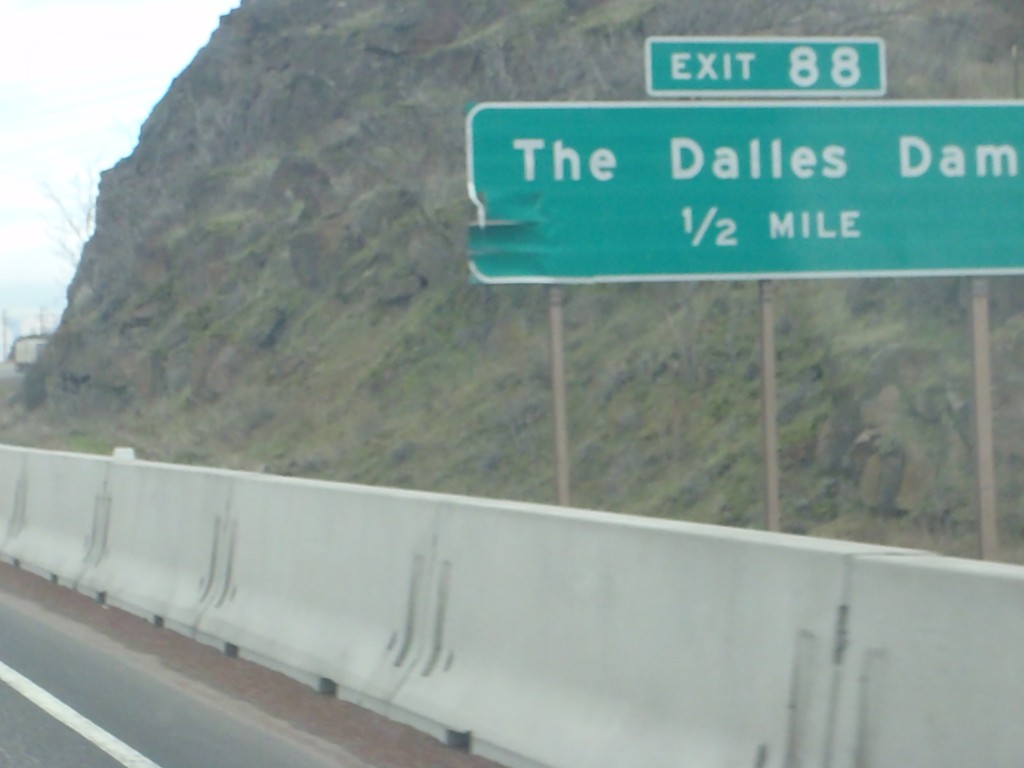
I-84 East Approaching Exit 88
I-84 east approaching Exit 88 - The Dalles Dam.
Taken 01-19-2011
The Dalles
Wasco County
Oregon
United States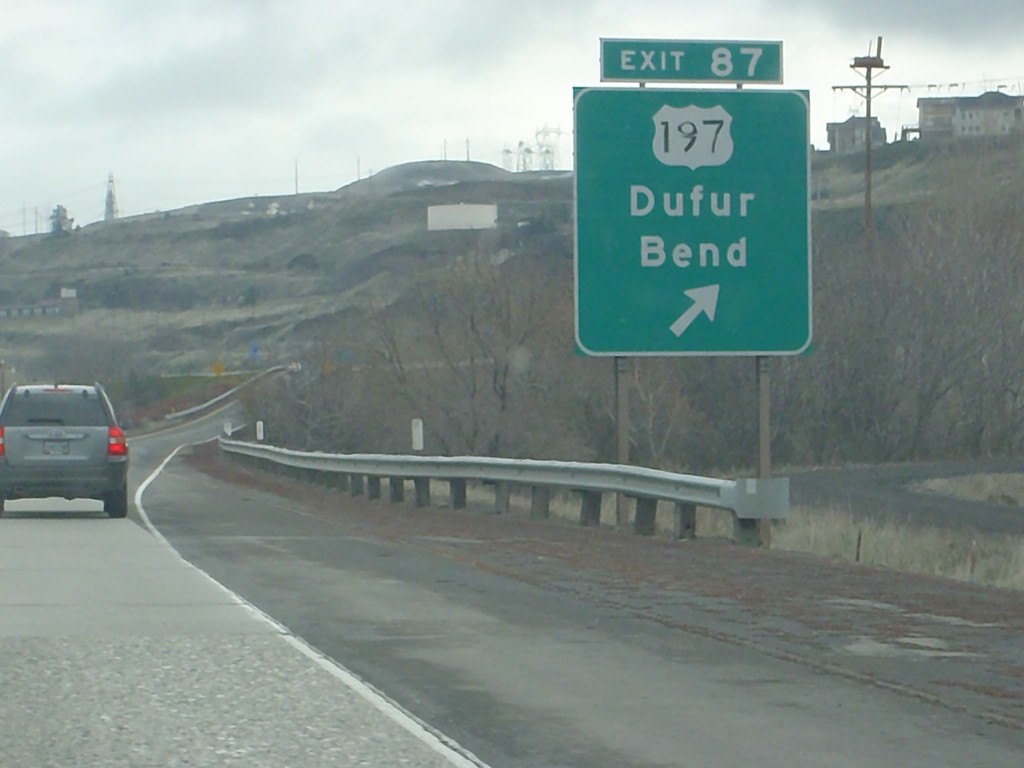
I-84 East - Exit 87
I-84 east at Exit 87 - US-197/Dufur/Bend. US-30 joins I-84 east to Pendleton.
Taken 01-19-2011
 The Dalles
Wasco County
Oregon
United States
The Dalles
Wasco County
Oregon
United States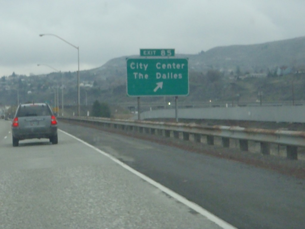
I-84 East - Exit 85
I-84 east at Exit 85 - City Center/The Dalles.
Taken 01-19-2011
The Dalles
Wasco County
Oregon
United States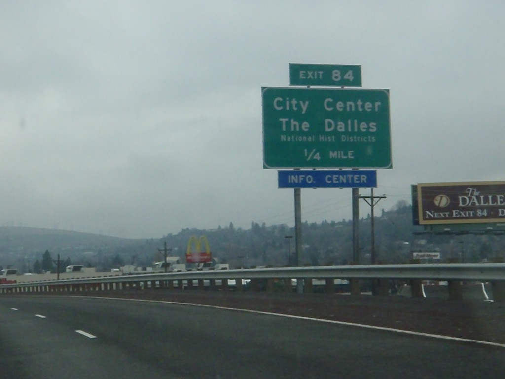
I-84 East Approaching Exit 84
I-84 east approaching Exit 84 - City Center/The Dalles/National Historic Districts.
Taken 01-19-2011
The Dalles
Wasco County
Oregon
United States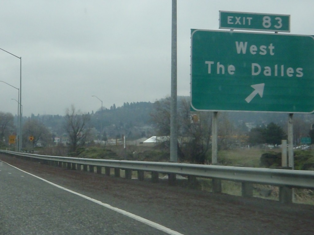
I-84 East - Exit 83
I-84 east at Exit 83 - West The Dalles.
Taken 01-19-2011
The Dalles
Wasco County
Oregon
United States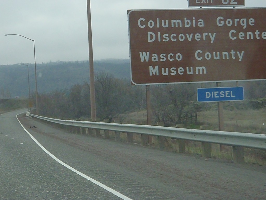
I-84 East - Exit 82
I-84 east at Exit 82 - Wasco County Museum/Columbia Gorge Discovery Center.
Taken 01-19-2011
The Dalles
Wasco County
Oregon
United States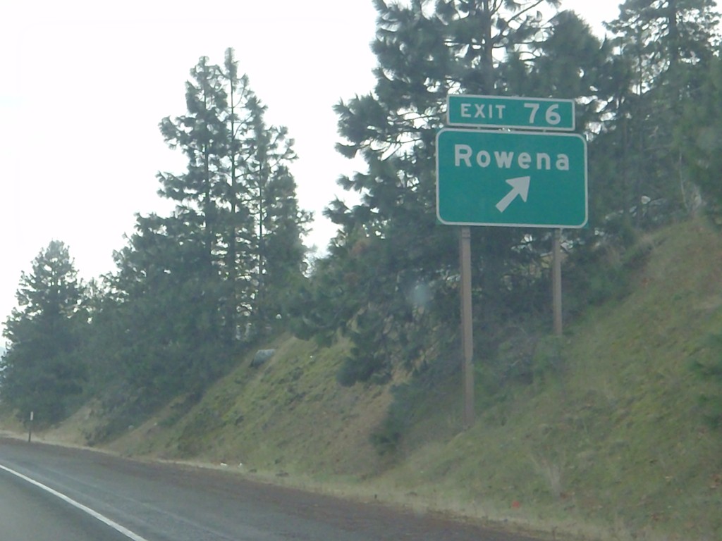
I-84 East - Exit 76
I-84 east at Exit 76 - Rowena.
Taken 01-19-2011
The Dalles
Wasco County
Oregon
United States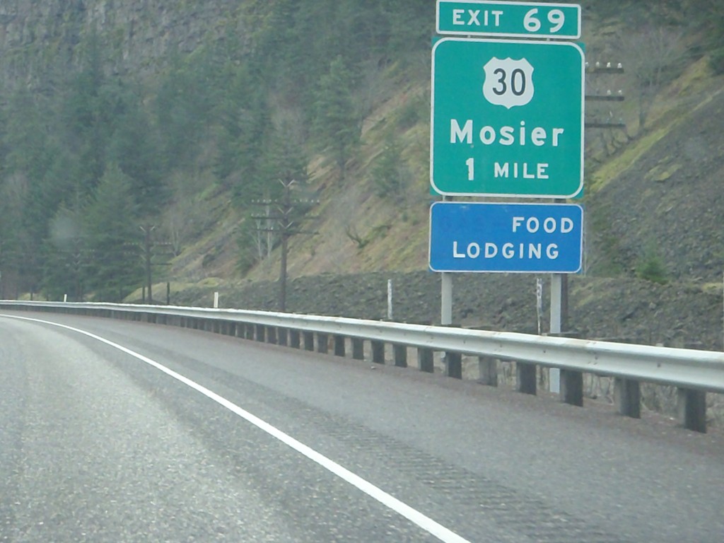
I-84 East Approaching Exit 69
I-84 east approaching Exit 69 - US-30/Mosier. US-30 leaves I-84 here, and parallels the south side of the highway to The Dalles.
Taken 01-19-2011
Mosier
Wasco County
Oregon
United States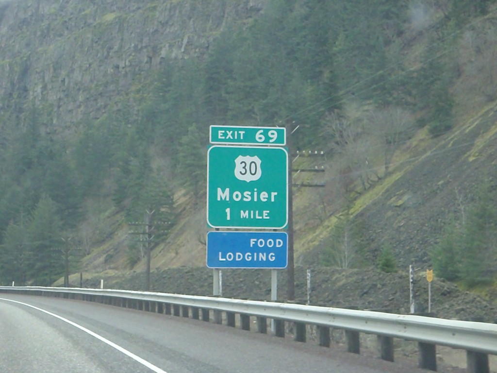
I-84 East Approaching Exit 69
I-84 east approaching Exit 69 - US-30/Mosier. US-30 leaves I-84 here, and parallels the south side of the highway to The Dalles.
Taken 01-19-2011
Mosier
Wasco County
Oregon
United States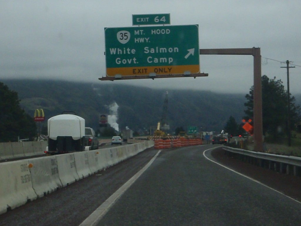
I-84 East - Exit 64
I-84 east at Exit 64 - OR-35/Mt. Hood Highway/White Salmon/Government Camp. OR-35 crosses the Columbia River north of here, connecting to White Salmon, Washington. The next crossing of the Columbia River eastbound is in The Dalles. Westbound, the next crossing is at Cascade Locks.
Taken 01-19-2011
 Hood River
 County
Oregon
United States
Hood River
Hood River County
Oregon
United States