Signs Tagged With Freeway Junction
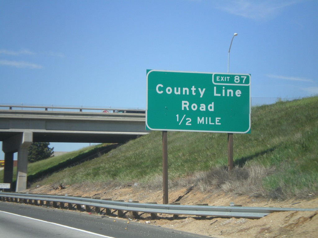
I-10 West Approaching Exit 87
I-10 west approaching Exit 87 - County Line Road.
Taken 02-28-2011
 Calimesa
Riverside County
California
United States
Calimesa
Riverside County
California
United States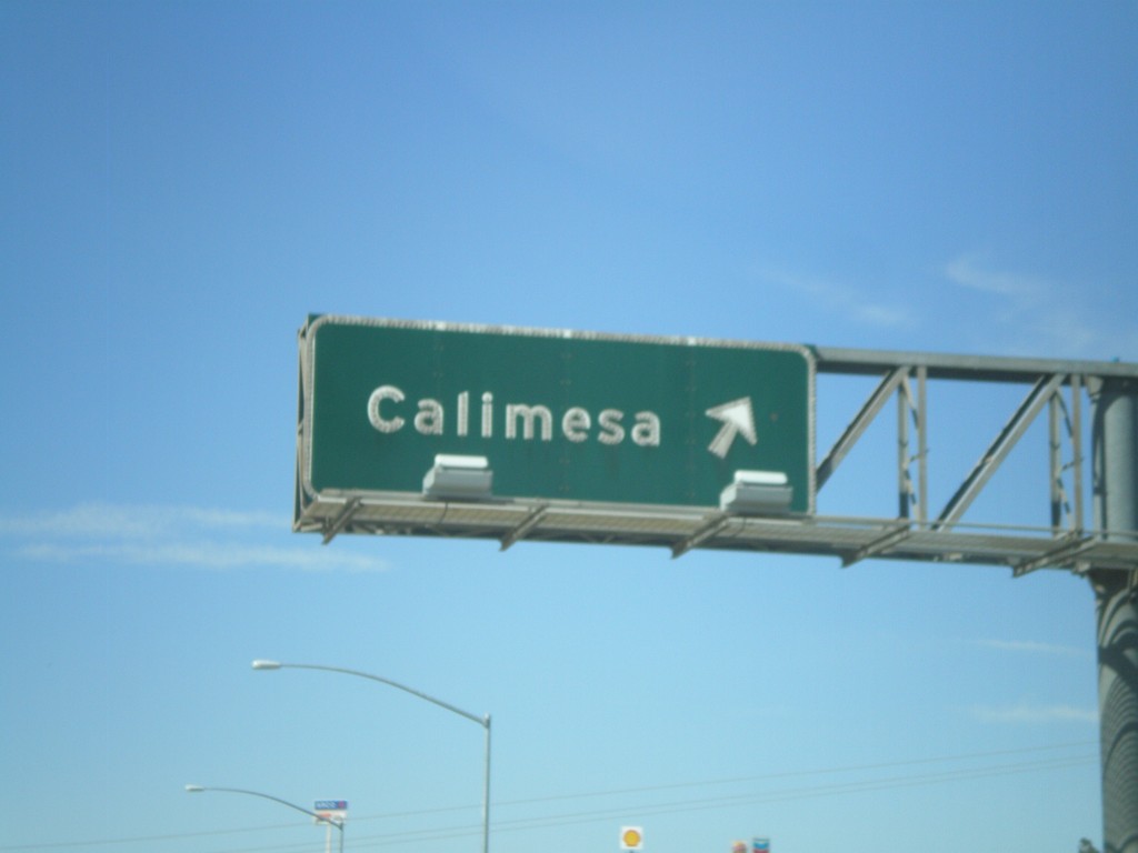
I-10 West - Exit 88
I-10 west at Exit 88 - Calimesa.
Taken 02-28-2011
Calimesa
Riverside County
California
United States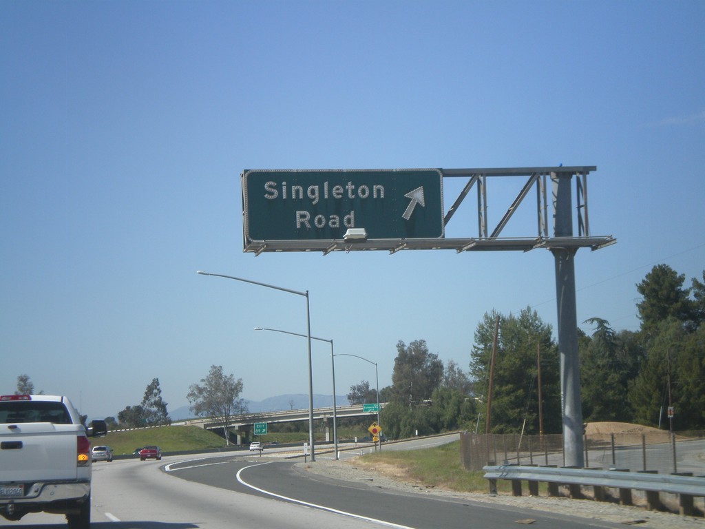
I-10 West - Exit 89
I-10 west at Exit 89 - Singleton Road.
Taken 02-28-2011
Calimesa
Riverside County
California
United States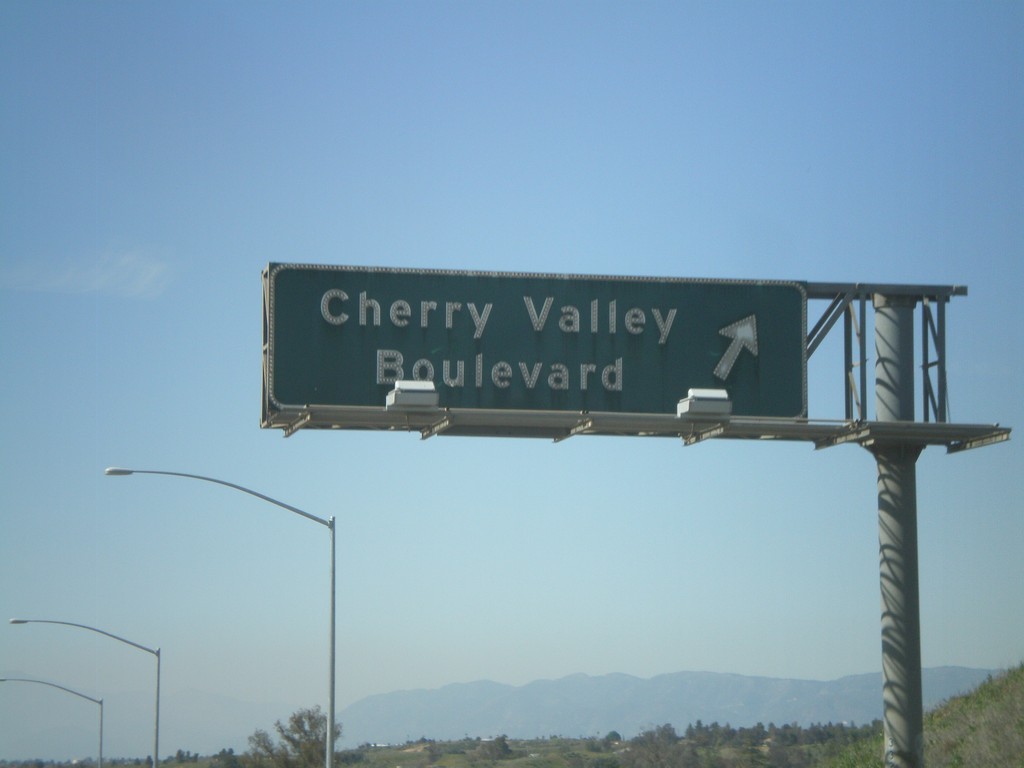
I-10 West - Exit 90
I-10 west at Exit 90 - Cherry Valley Blvd.
Taken 02-28-2011
Calimesa
Riverside County
California
United States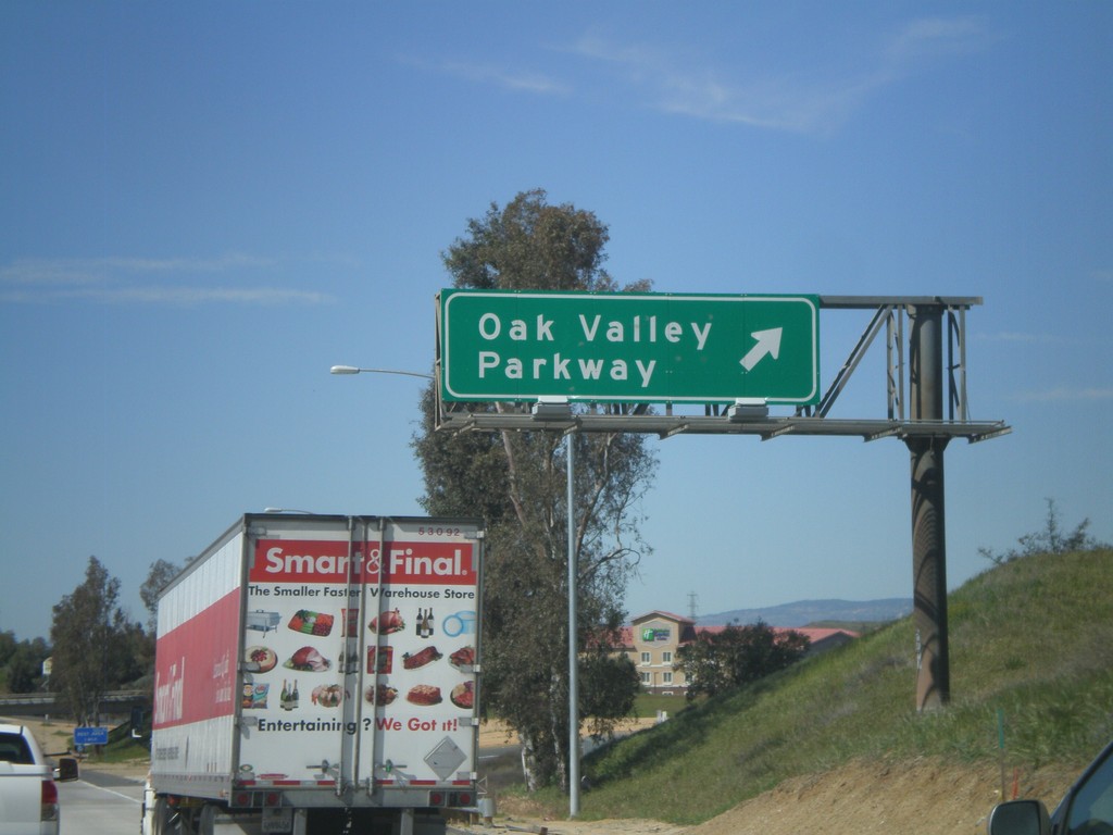
I-10 West - Exit 92
I-10 west at Exit 92 - Oak Valley Parkway.
Taken 02-28-2011
Beaumont
Riverside County
California
United States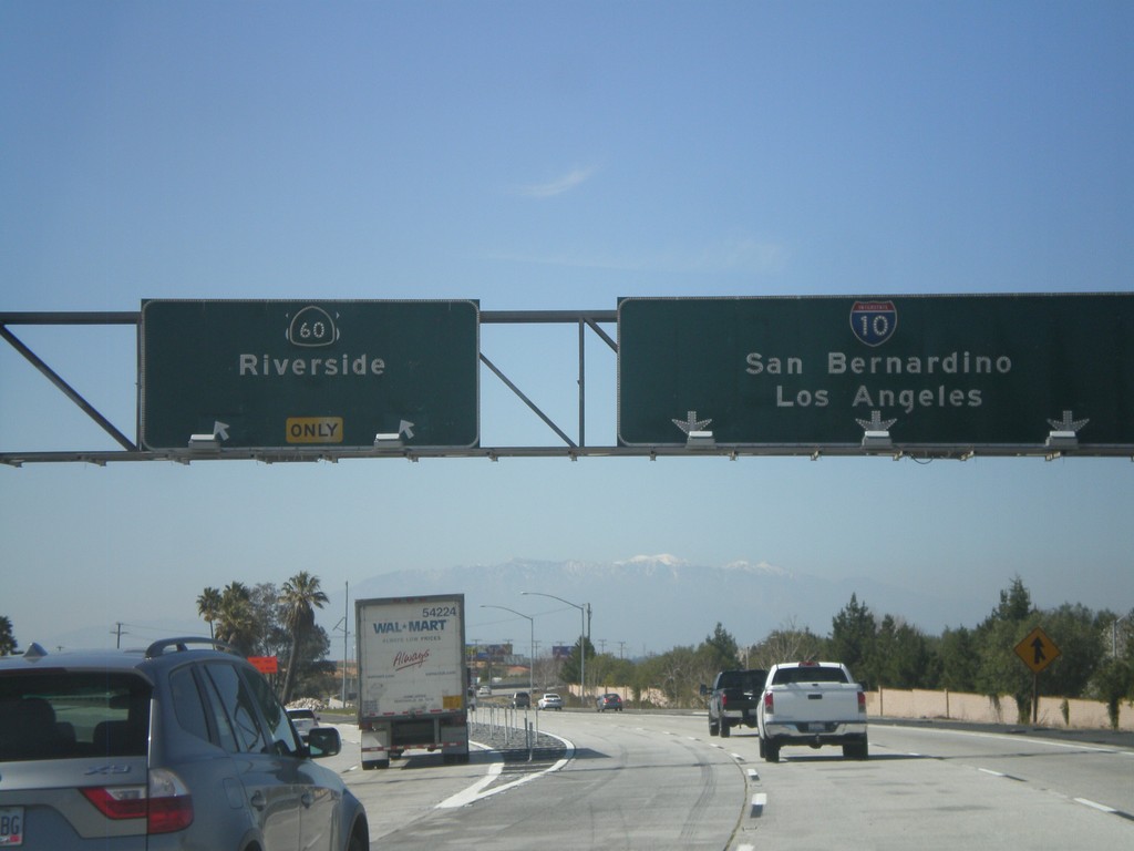
I-10 West - Exit 93
I-10 west at Exit 93 - CA-60/Riverside. I-10 continues west towards San Bernardino and Los Angeles. CA-60 parallels I-10 to the south into Los Angeles. Although the sign does not mention it, either route can be used for Los Angeles. An old US-60 shield can be sign peeking out from behind the CA-60 shield.
Taken 02-28-2011
 Beaumont
Riverside County
California
United States
Beaumont
Riverside County
California
United States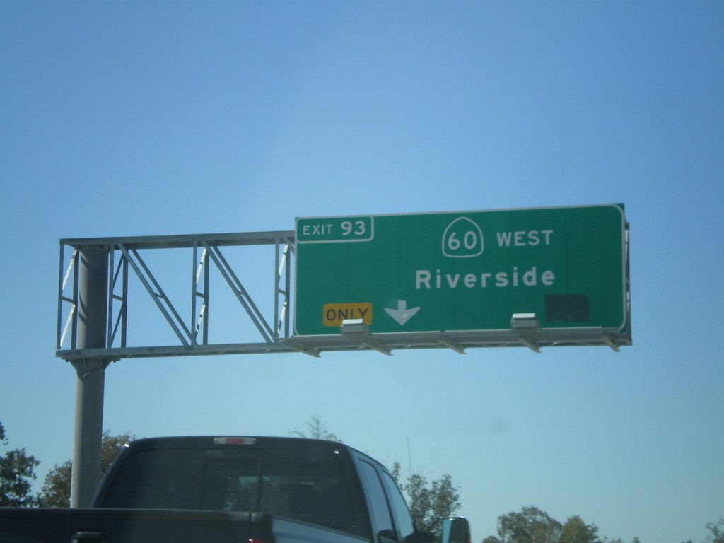
I-10 West Approaching CA-60
I-10 west approaching Exit 93 - CA-60/Riverside. Exit 93 exits from the left lanes.
Taken 02-28-2011
Beaumont
Riverside County
California
United States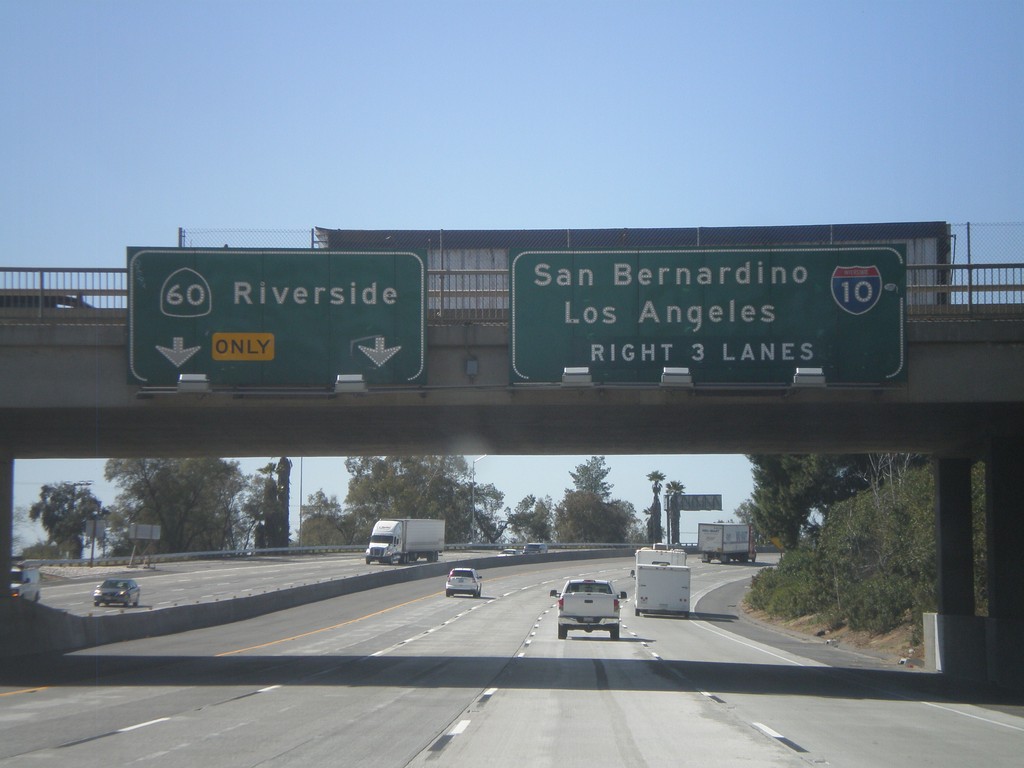
I-10 West Approaching Exit 93
I-10 west approaching Exit 93 - CA-60/Riverside. Use right 3 lanes for I-10 towards San Bernardino and Los Angeles.
Taken 02-28-2011
Beaumont
Riverside County
California
United States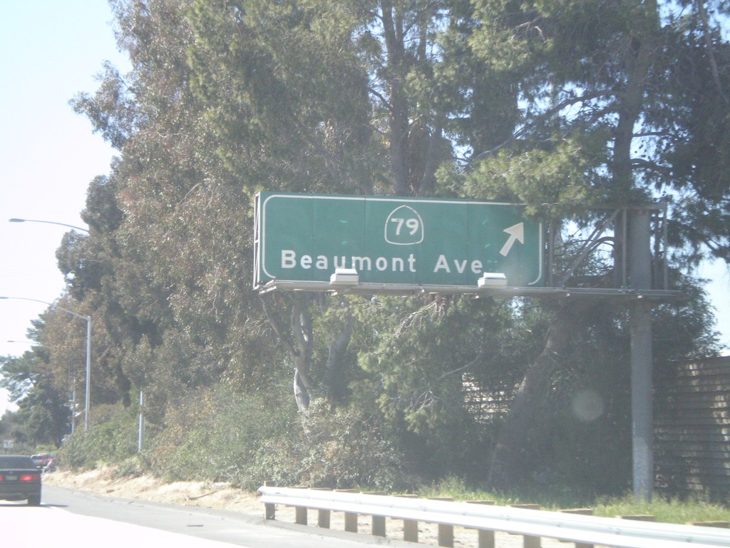
I-10 West - Exit 94
I-10 west at Exit 94 - CA-79/Beaumont Ave.
Taken 02-28-2011
 Beaumont
Riverside County
California
United States
Beaumont
Riverside County
California
United States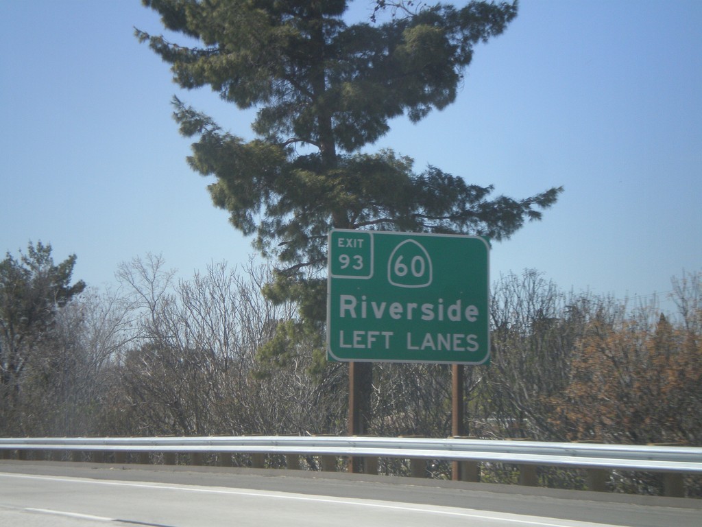
I-10 West Approaching Exit 93
I-10 west approaching Exit 93 - CA-60/Riverside. Use left lanes for CA-60 exit.
Taken 02-28-2011
Beaumont
Riverside County
California
United States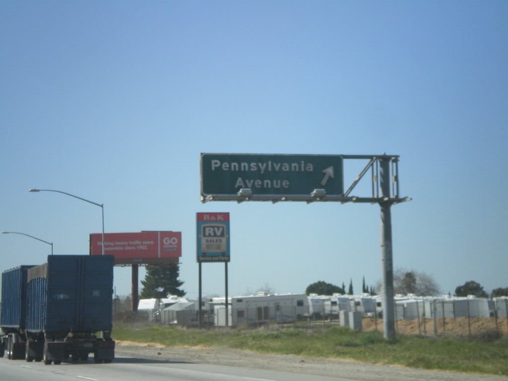
I-10 West - Exit 95
I-10 west at Exit 95 - Pennsylvania Ave.
Taken 02-28-2011
Riverside
Riverside County
California
United States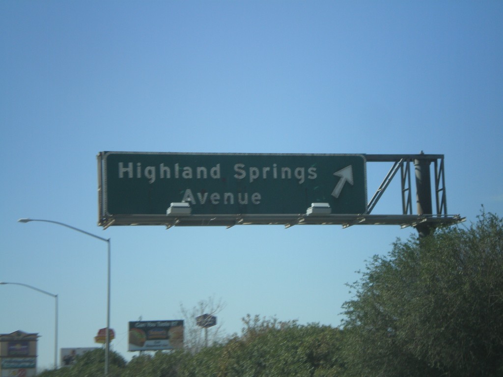
I-10 West - Exit 96
I-10 west at Exit 96 - Highland Springs Ave.
Taken 02-28-2011
Banning
Riverside County
California
United States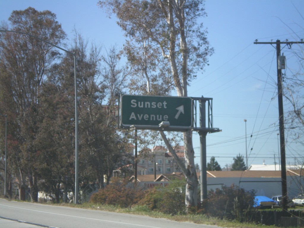
I-10 West - Exit 98
I-10 west at Exit 98 - Sunset Ave.
Taken 02-28-2011
Banning
Riverside County
California
United States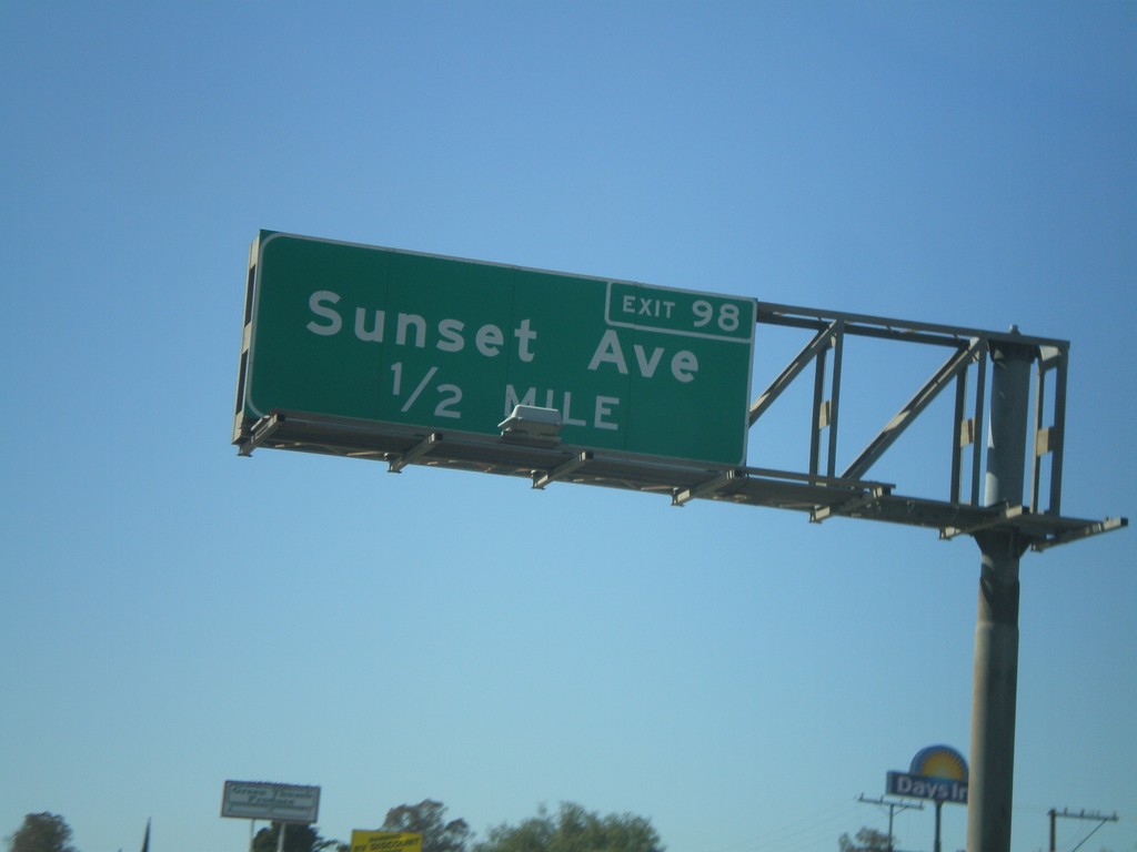
I-10 West Approaching Exit 98
I-10 west approaching Exit 98 - Sunset Ave.
Taken 02-28-2011
Banning
Riverside County
California
United States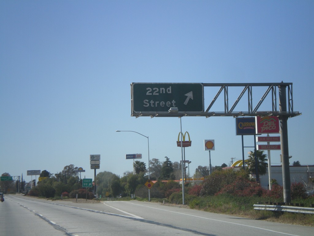
I-10 West - Exit 99
I-10 west at Exit 99 - 22nd St.
Taken 02-28-2011
Banning
Riverside County
California
United States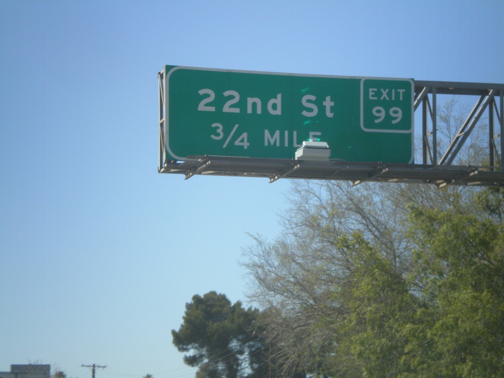
I-10 West Approaching Exit 99
I-10 west approaching Exit 99 - 22nd St.
Taken 02-28-2011
Banning
Riverside County
California
United States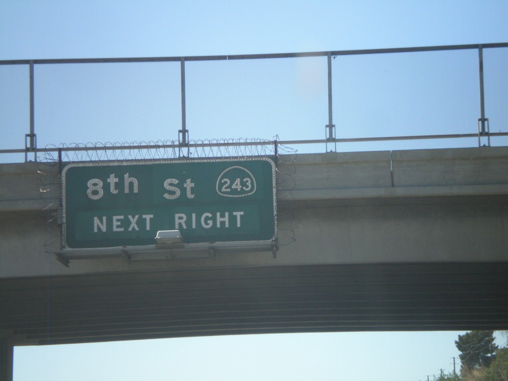
I-10 West Approaching Exit 100
I-10 west approaching Exit 100 - CA-243/8th St.
Taken 02-28-2011
 Banning
Riverside County
California
United States
Banning
Riverside County
California
United States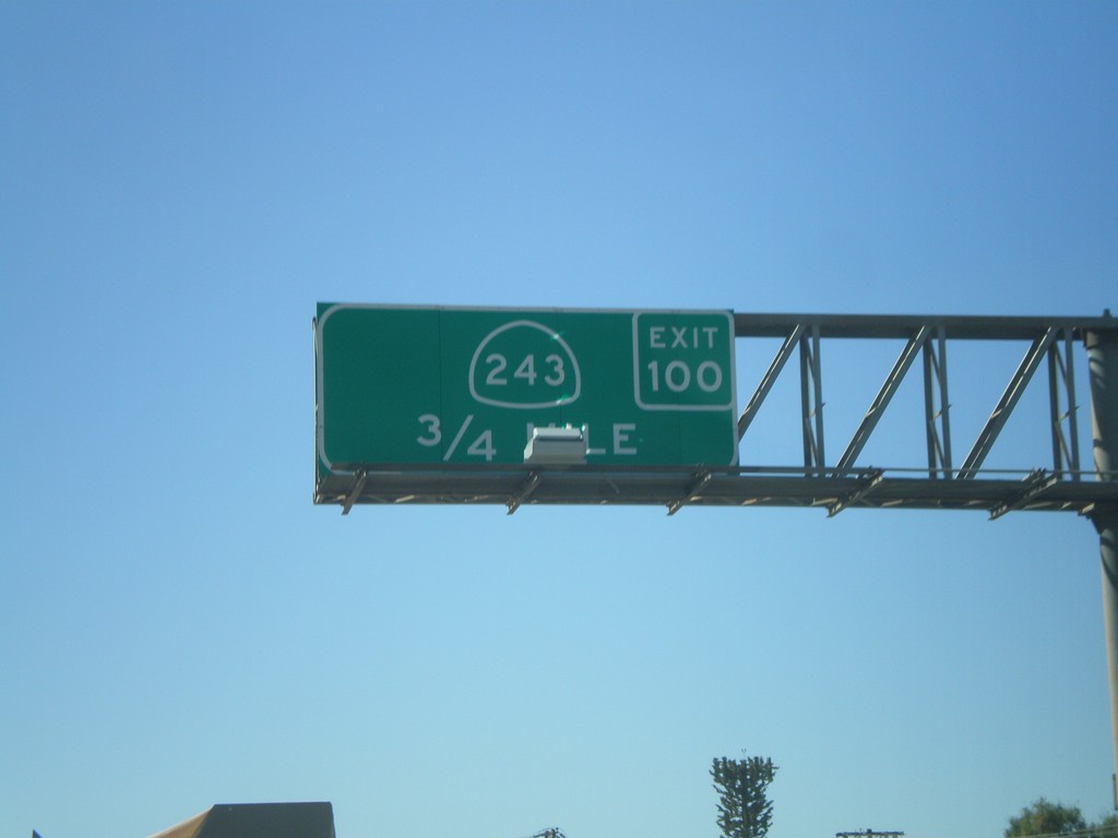
I-10 West Approaching Exit 100
I-10 west approaching Exit 100 - CA-243
Taken 02-28-2011
Banning
Riverside County
California
United States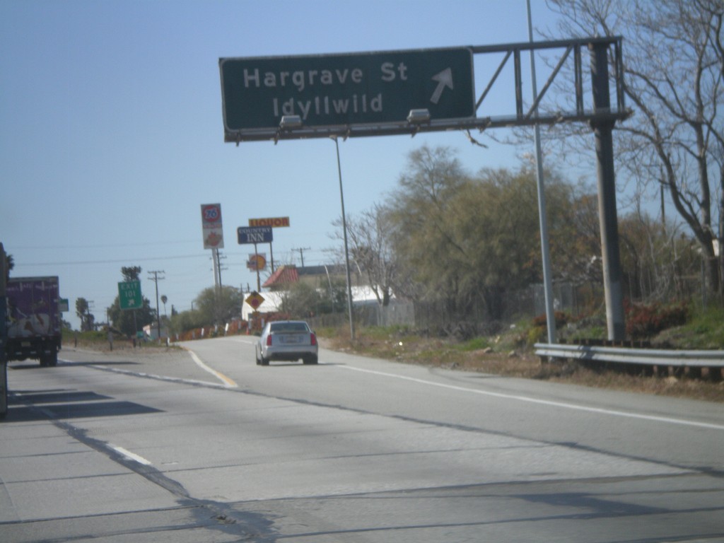
I-10 West - Exit 100
I-10 west at Exit 100 - Hargrave St./Idyllwild.
Taken 02-28-2011
Banning
Riverside County
California
United States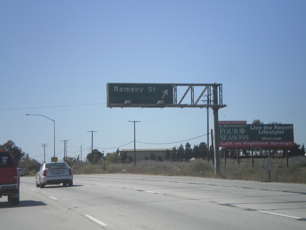
I-10 West - Exit 102
I-10 west at Exit 102 - Ramsey St.
Taken 02-28-2011
Banning
Riverside County
California
United States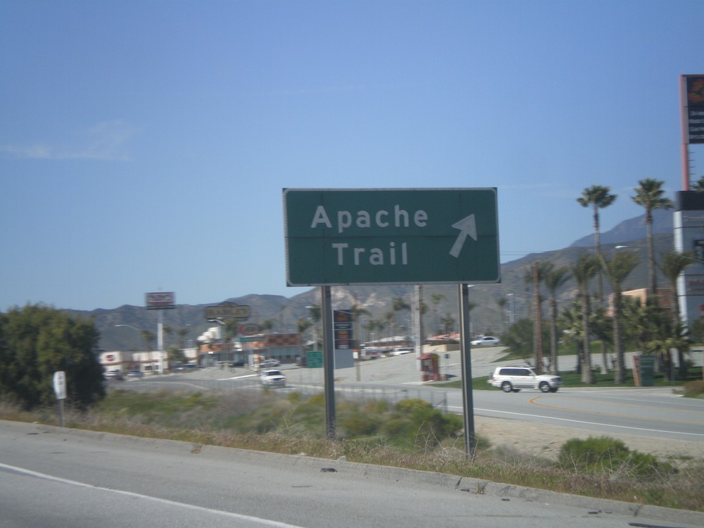
I-10 East - Exit 104
I-10 west at Exit 104 - Apache Trail. Apache Trail provides access to the Fantasy Springs Casino, and the concrete dinosaurs.
Taken 02-28-2011
Cabazon
Riverside County
California
United States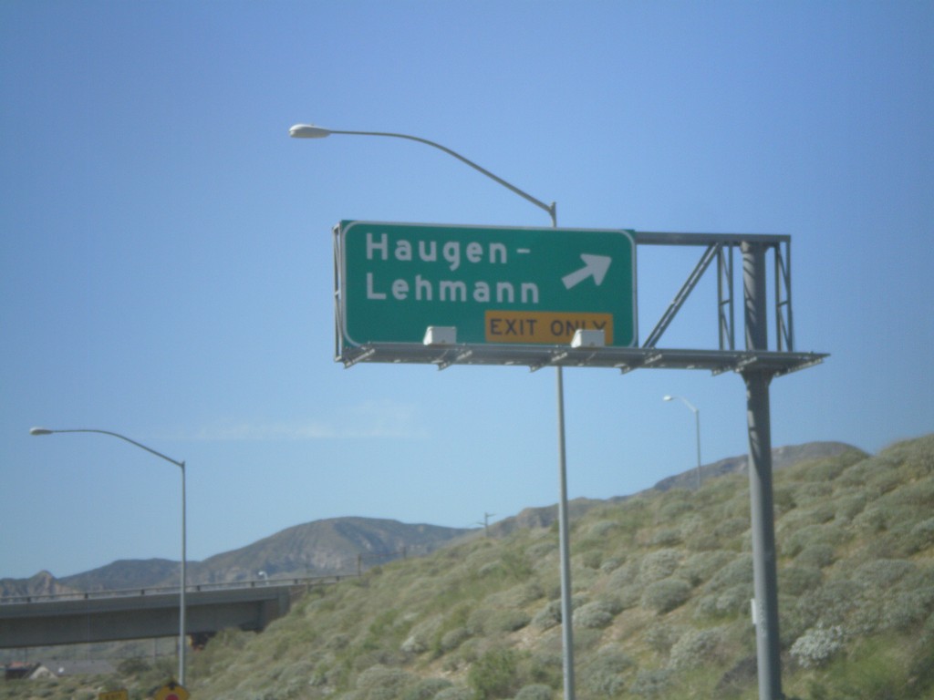
I-10 West - Exit 110
I-10 west at Exit 110 - Haugen-Lehmann.
Taken 02-28-2011
Whitewater
Riverside County
California
United States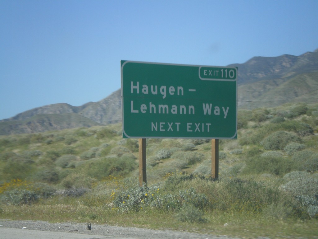
I-10 West Approaching Exit 110
I-10 west approaching Exit 110 - Haugen-Lehmann Way.
Taken 02-28-2011
Whitewater
Riverside County
California
United States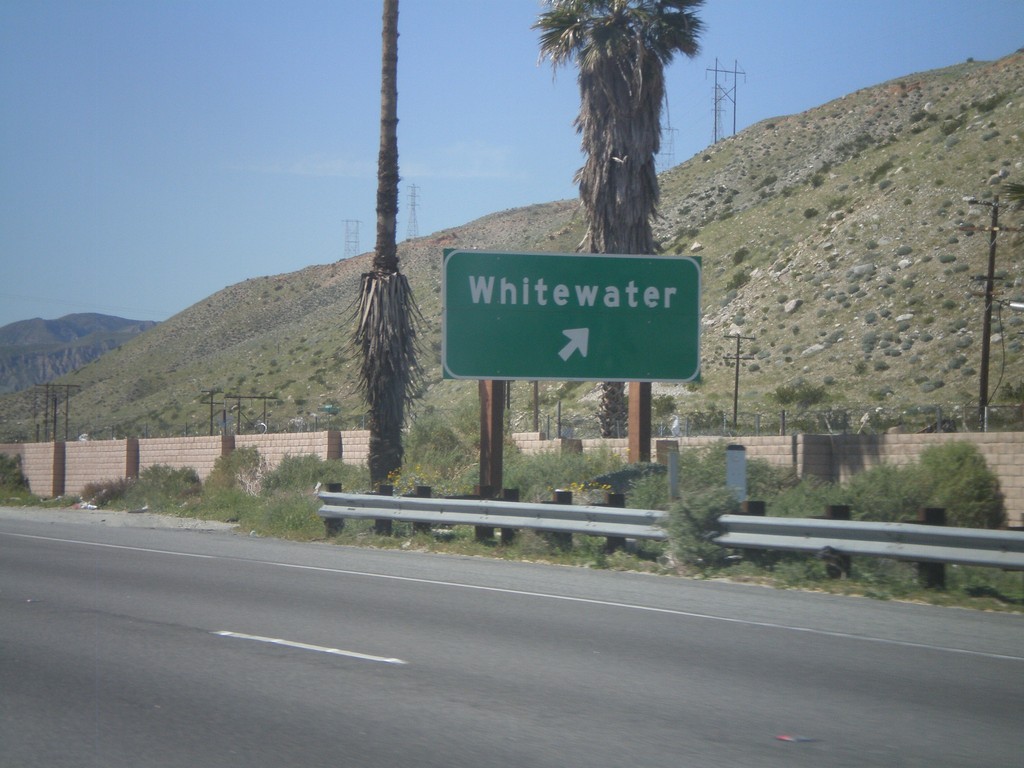
I-10 West - Exit 114
I-10 west at Exit 114 - Whitewater
Taken 02-28-2011
Whitewater
Riverside County
California
United States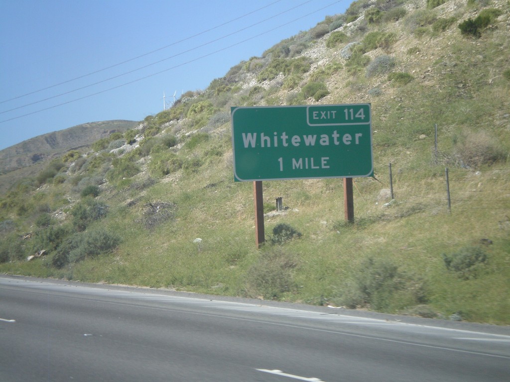
I-10 West Approaching Exit 114
I-10 west approaching Exit 114 - Whitewater.
Taken 02-28-2011
Whitewater
Riverside County
California
United States