Signs Tagged With Freeway Junction
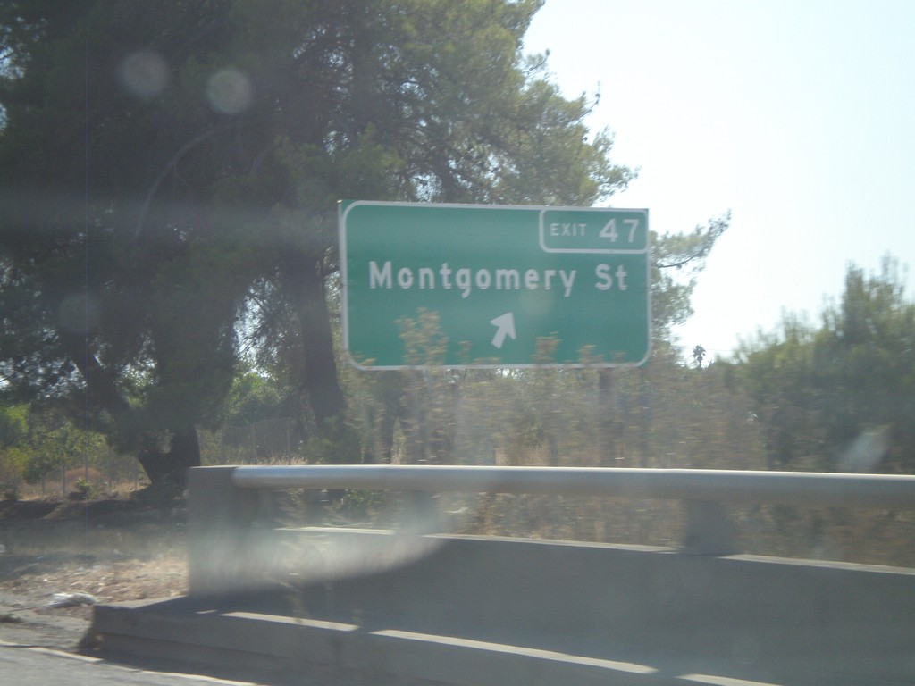
CA-70 South - Exit 47
CA-70 south at Exit 47 - Montgomery St.
Taken 09-25-2010
 Oroville
Butte County
California
United States
Oroville
Butte County
California
United States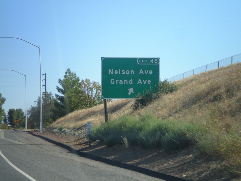
CA-70 South - Exit 48
CA-70 south at Exit 48 - Nelson Ave./Grand Ave.
Taken 09-25-2010
Oroville
Butte County
California
United States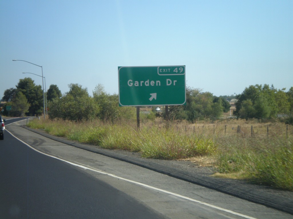
CA-70 South - Exit 49
CA-70 South at Exit 49 - Garden Drive.
Taken 09-25-2010
Oroville
Butte County
California
United States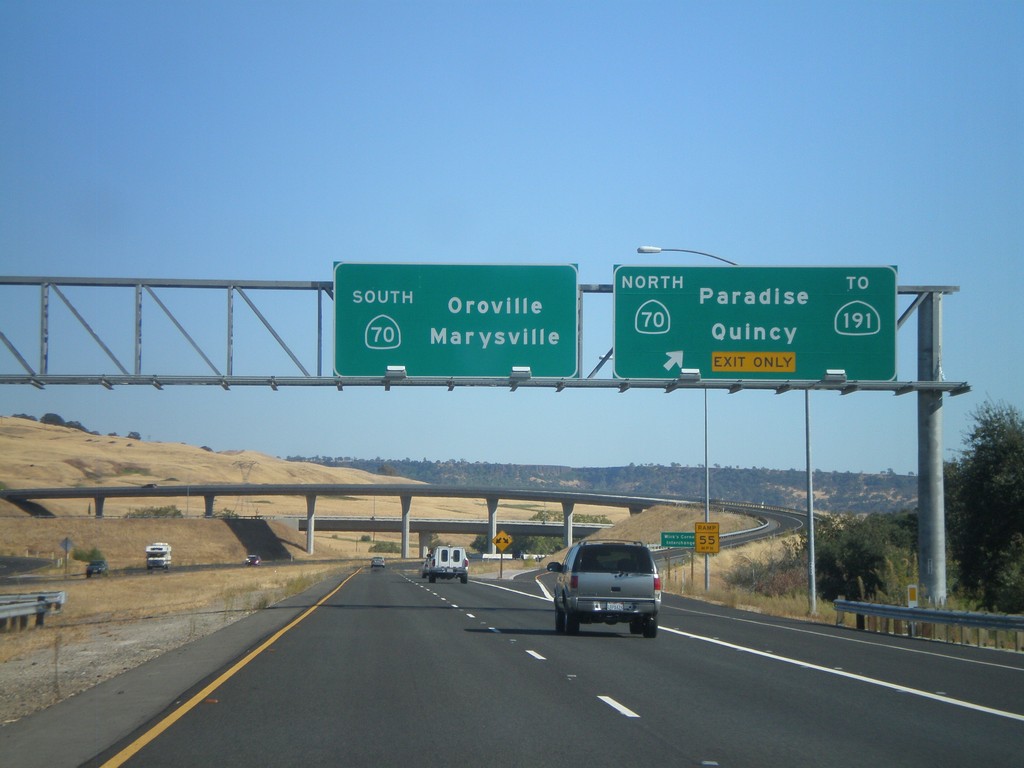
CA-149 South at CA-70
CA-149 south at CA-70. Use CA-70 north for CA-191, Paradise, and Quincy. Use CA-70 south for Oroville and Marysville. This is the southern end of CA-149.
Taken 09-25-2010

 Oroville
Butte County
California
United States
Oroville
Butte County
California
United States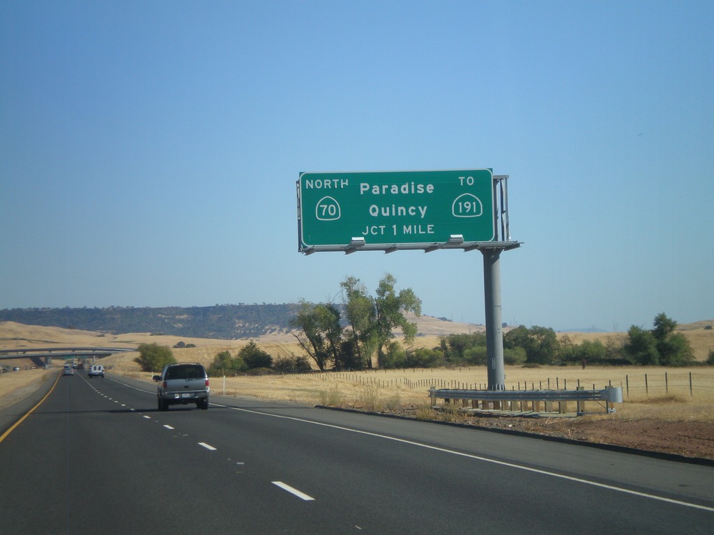
CA-149 South Approaching CA-70
CA-149 south approaching CA-70. Use CA-70 north for Paradise, Quincy, and CA-191.
Taken 09-25-2010
Oroville
Butte County
California
United States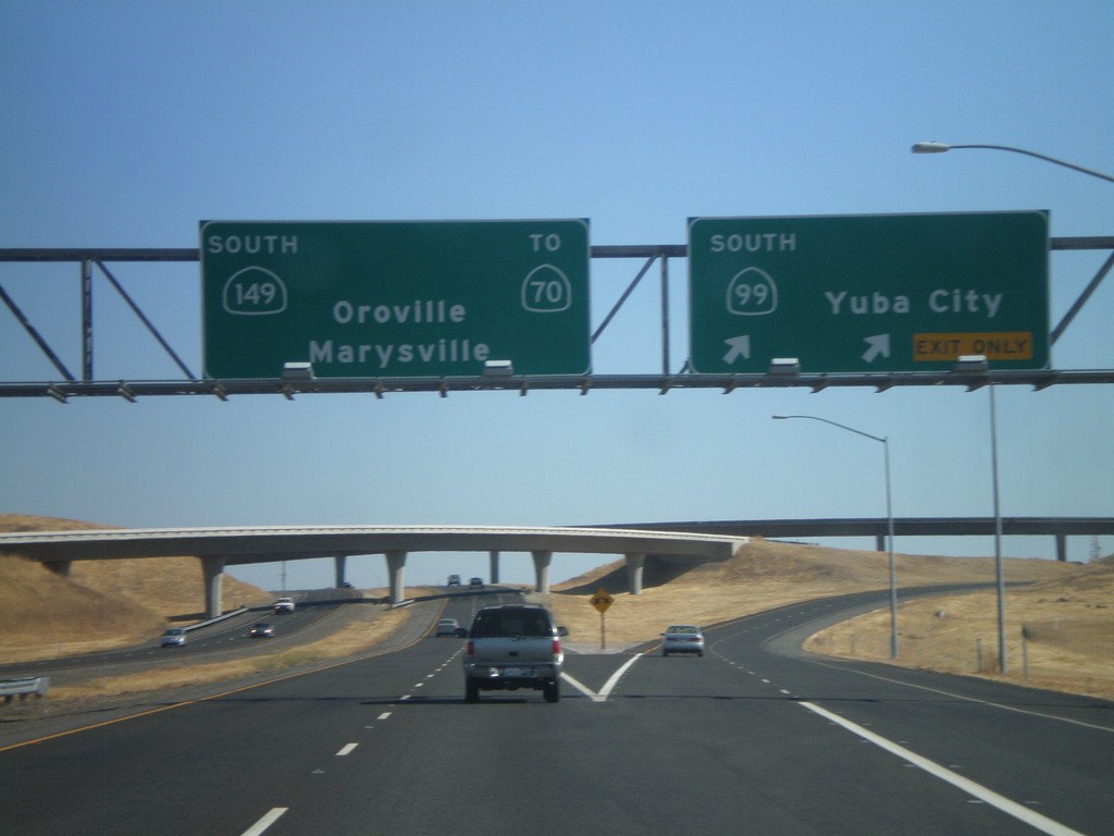
CA-99 South at CA-149
CA-99 south at CA-149. Use CA-149 south for CA-70, Oroville, and Marysville. Continue south on CA-99 for Yuba City.
Taken 09-25-2010
 Durham
Butte County
California
United States
Durham
Butte County
California
United States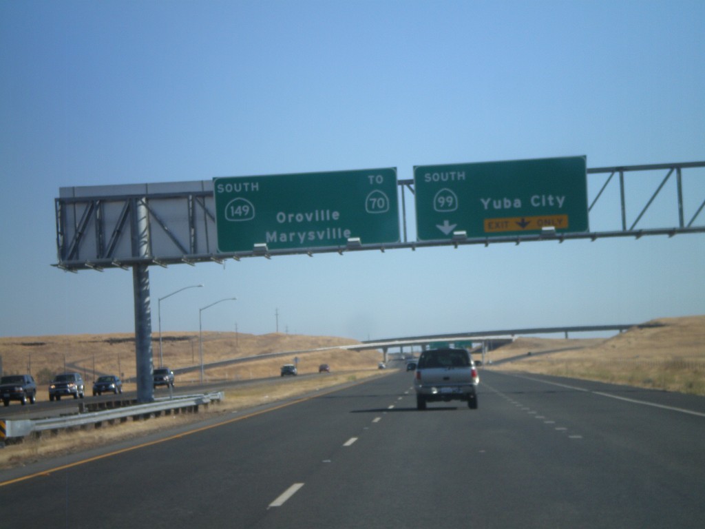
CA-99 South Approaching CA-149
CA-99 South approaching CA-149. Use CA-149 South for Oroville, Marysville, and CA-70. Continue south on CA-99 for Yuba City.
Taken 09-25-2010
Durham
Butte County
California
United States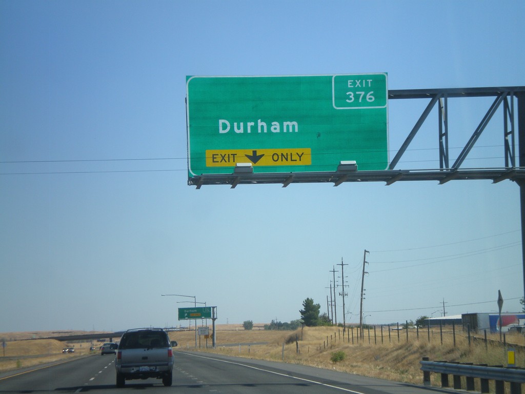
CA-99 South - Exit 376
CA-99 south approaching Exit 376 - Durham.
Taken 09-25-2010
Durham
Butte County
California
United States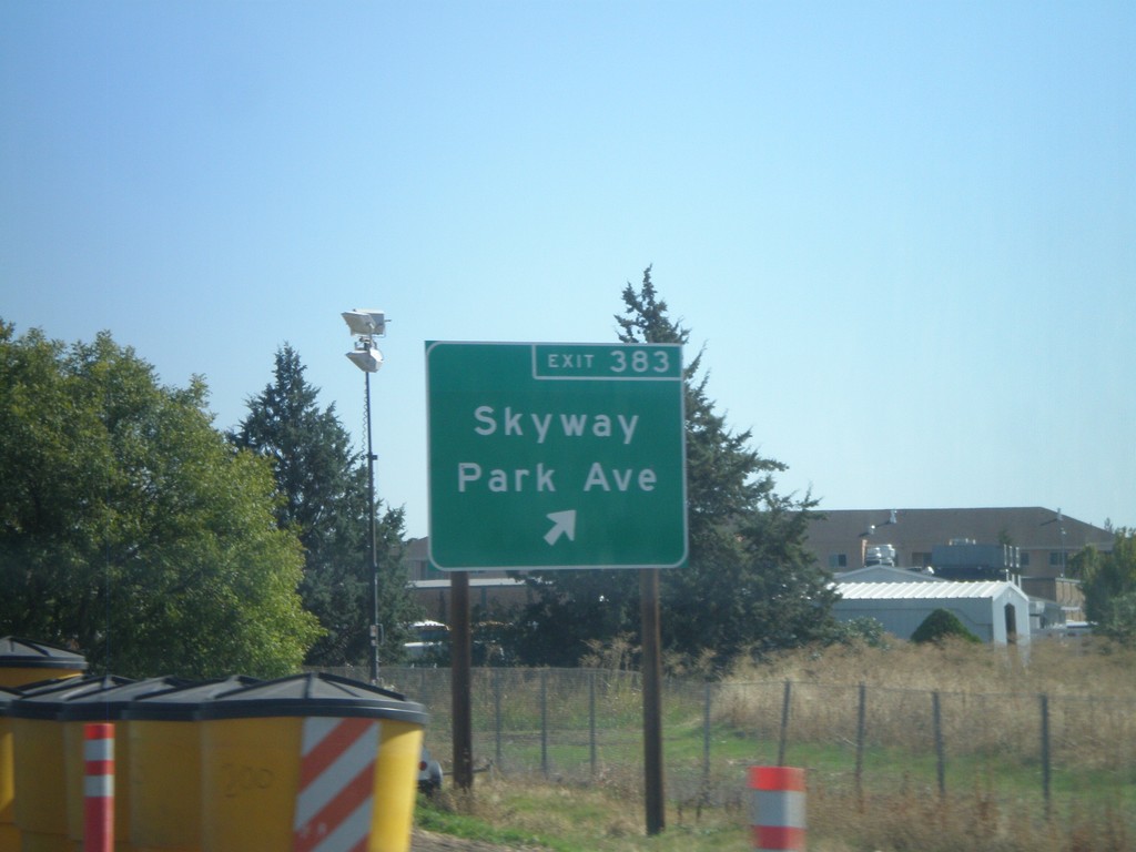
CA-99 South - Exit 383
CA-99 south at Exit 383 - Skyway/Park Ave.
Taken 09-25-2010
Chico
Butte County
California
United States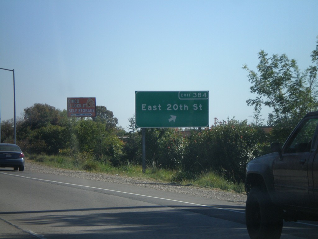
CA-99 South - Exit 384
CA-99 south at Exit 384 - East 20th St.
Taken 09-25-2010
Chico
Butte County
California
United States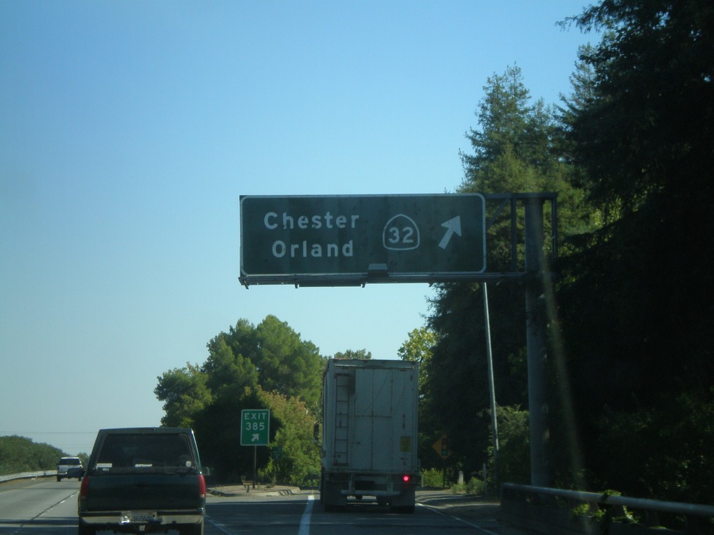
CA-99 South - Exit 385
CA-99 south at Exit 385 - CA-32/Orland/Chester.
Taken 09-25-2010
 Chico
Butte County
California
United States
Chico
Butte County
California
United States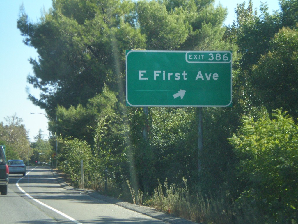
CA-99 South - Exit 386
CA-99 south at Exit 386 - E. First Ave.
Taken 09-25-2010
Chico
Butte County
California
United States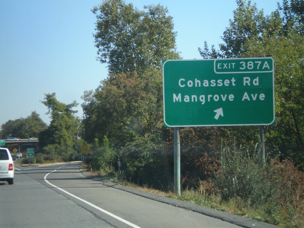
CA-99 South - Exit 387A
CA-99 south at Exit 387A - Cohasset Road/Mangrove Ave.
Taken 09-25-2010
Chico
Butte County
California
United States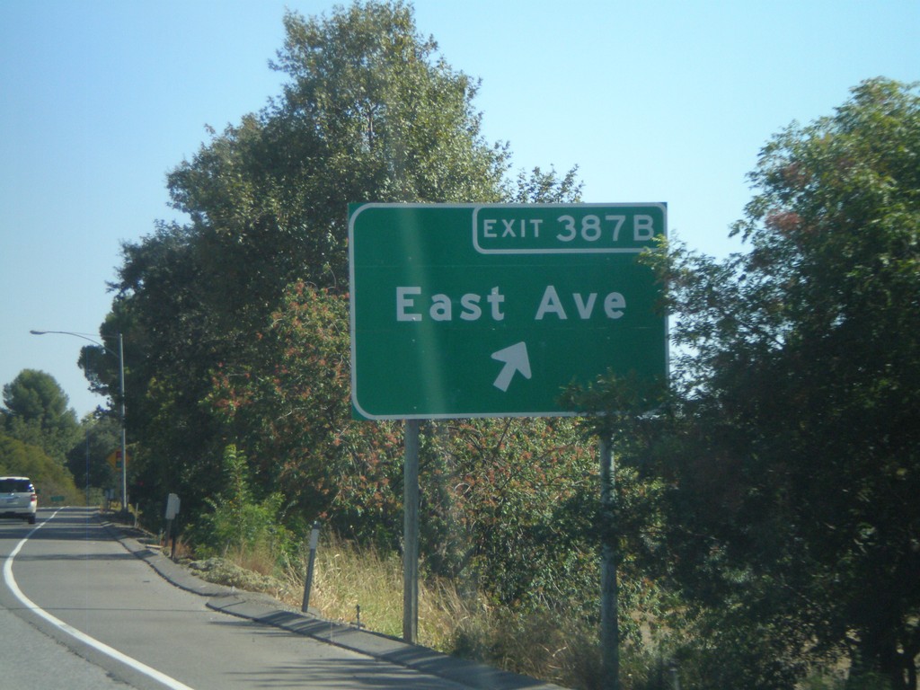
CA-99 South - Exit 387B
CA-99 south at Exit 387B - East Ave.
Taken 09-25-2010
Chico
Butte County
California
United States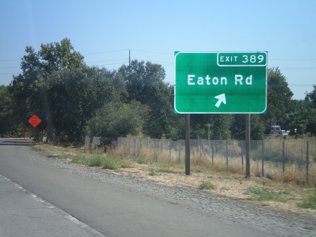
CA-99 South - Exit 389
CA-99 south at Exit 389 - Eaton Road.
Taken 09-25-2010
Chico
Butte County
California
United States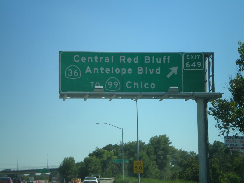
I-5 South - Exit 649
I-5 south at Exit 649 - CA-36/Central Red Bluff/Antelope Blvd./To CA-99/Chico. This used to be the northern terminus of CA-99, but it was moved east of here to the CA-36 junction a few years back.
Taken 09-25-2010

 Red Bluff
Tehama County
California
United States
Red Bluff
Tehama County
California
United States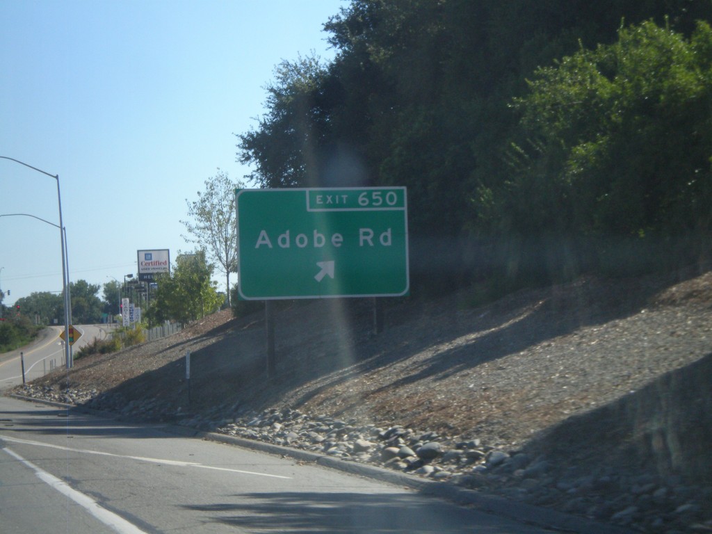
I-5 South - Exit 650
I-5 south at Exit 650 - Adobe Road.
Taken 09-25-2010
Red Bluff
Tehama County
California
United States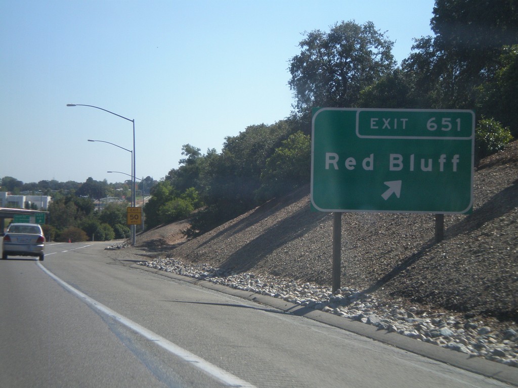
I-5 South - Exit 651
I-5 south at Exit 651 - Red Bluff.
Taken 09-25-2010
Red Bluff
Tehama County
California
United States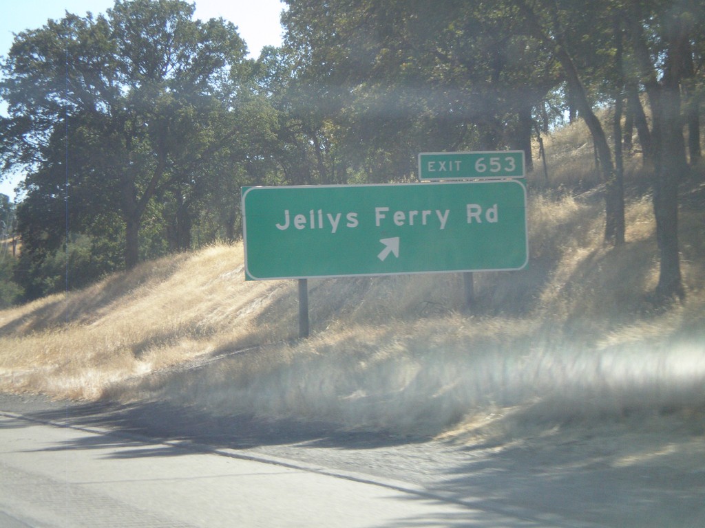
I-5 South - Exit 653
I-5 south at Exit 653 - Jellys Ferry Road.
Taken 09-25-2010
Red Bluff
Tehama County
California
United States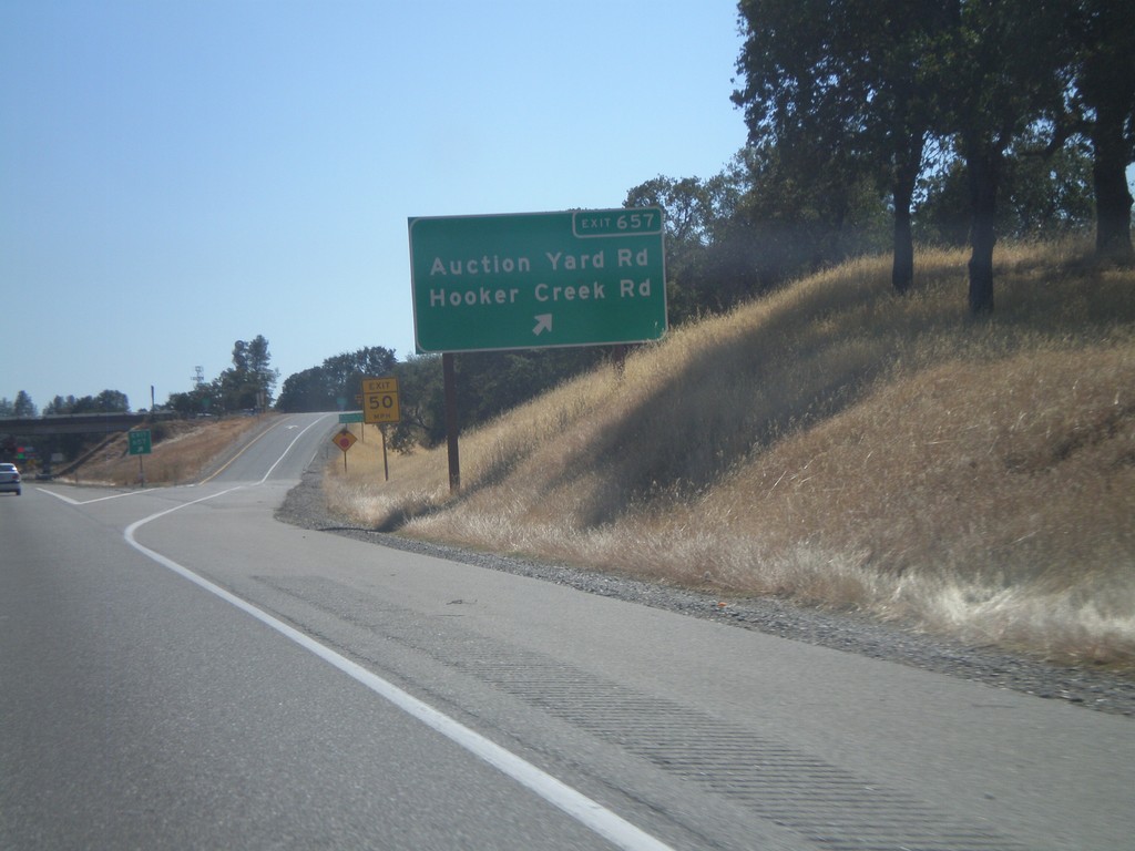
I-5 South - Exit 657
I-5 south at Exit 657 - Auction Yard Road/Hooker Creek Road.
Taken 09-25-2010
Cottonwood
Tehama County
California
United States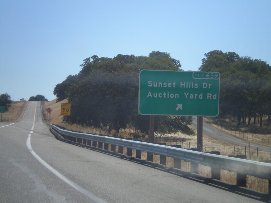
I-5 South - Exit 659
I-5 south at Exit 659 - Sunset Hills Drive/Auction Yard Road.
Taken 09-25-2010
Cottonwood
Tehama County
California
United States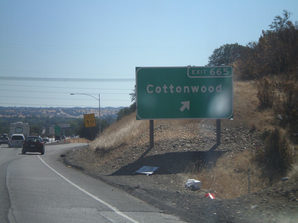
I-5 South - Exit 665
I-5 south at Exit 665 - Cottonwood.
Taken 09-25-2010
Cottonwood
Shasta County
California
United States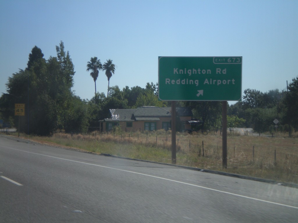
I-5 South - Exit 673
I-5 south at Exit 673 - Knighton Road/Redding Airport.
Taken 09-25-2010
Redding
Shasta County
California
United States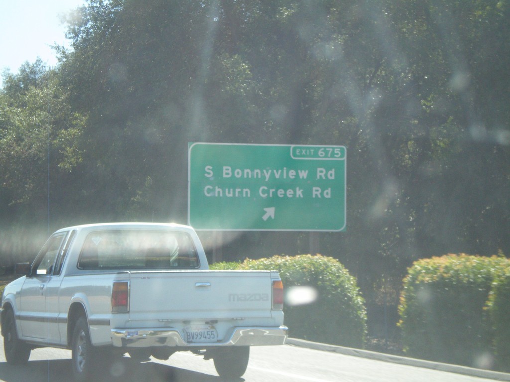
I-5 South - Exit 675
I-5 south at Exit 675 - South Bonnyview Road/Churn Creek Road.
Taken 09-25-2010
Redding
Shasta County
California
United States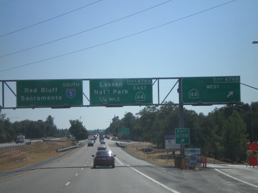
I-5 South - Exits 678B and 678A
I-5 south at Exit 678B - CA-44 West. Approaching Exit 678A - CA-44 East/Lassen National Park. I-5 continues south towards Red Bluff and Sacramento.
Taken 09-25-2010
 Redding
Shasta County
California
United States
Redding
Shasta County
California
United States