Signs Tagged With Freeway Junction
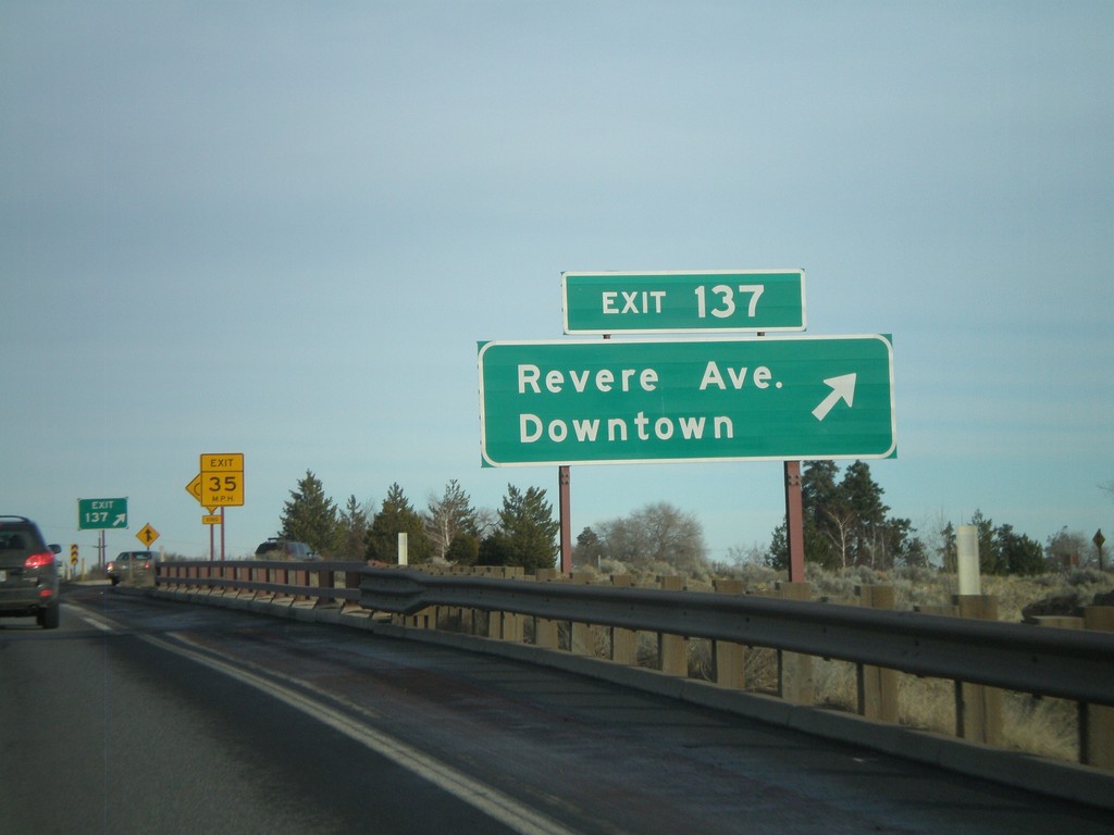
US-97 North - Exit 137
US-97 north at Exit 137 - Revere Ave./Downtown.
Taken 01-18-2010
 Bend
Deschutes County
Oregon
United States
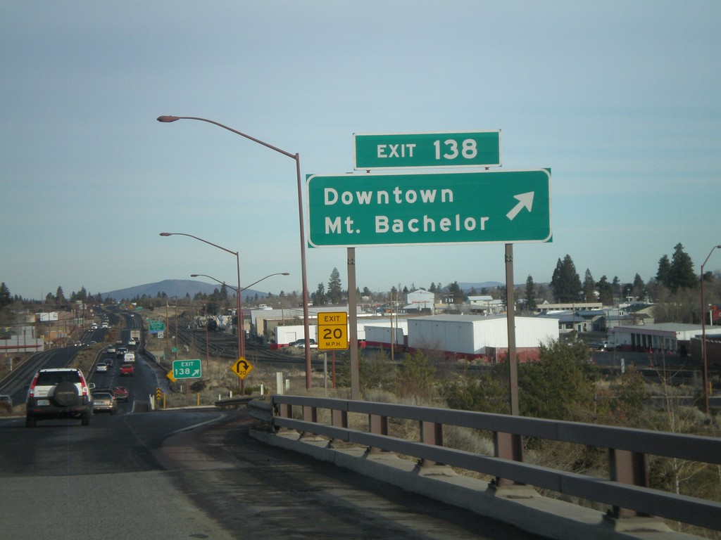
US-97 North - Exit 138
US-97 north at Exit 138 - Downtown/Mt. Bachelor
Taken 01-18-2010
 Bend
Deschutes County
Oregon
United States
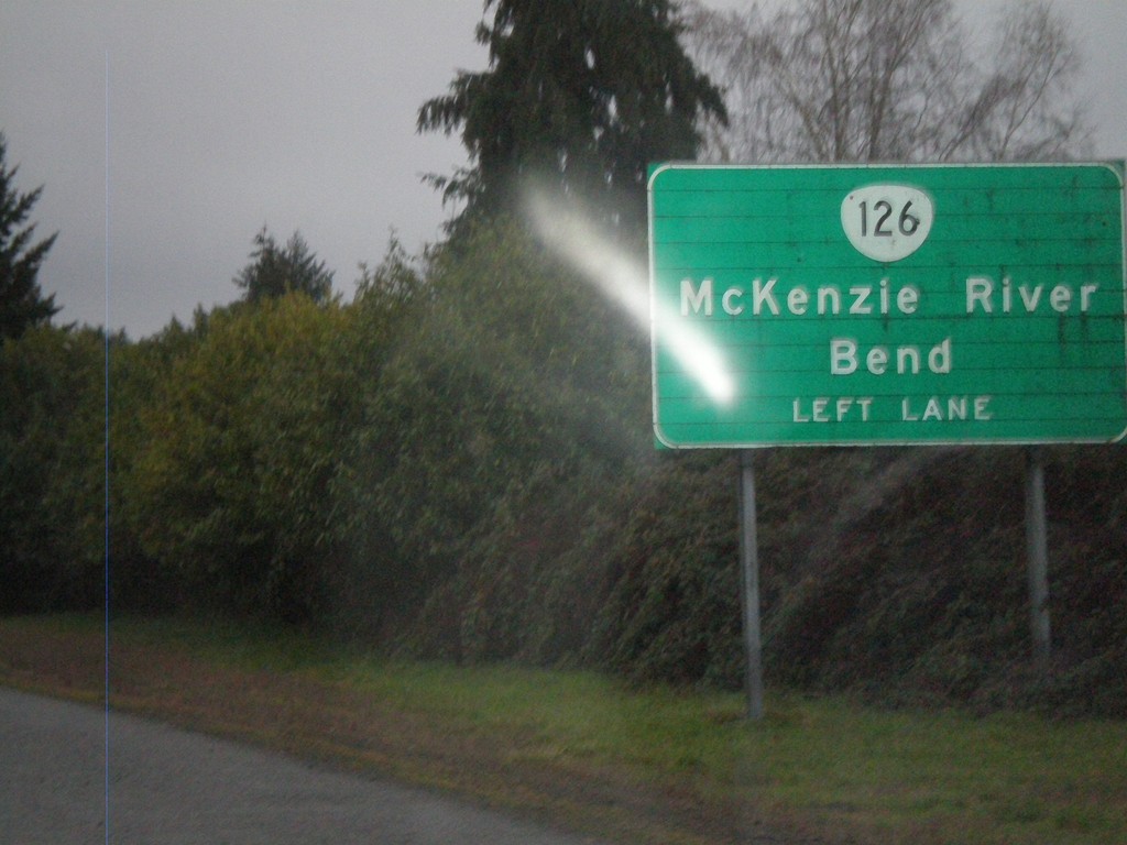
OR-126 East Approaching Business OR-126
Approaching end of OR-126 freeway in Springfield, near Business OR-126 (Main St.) junction. OR-126 continues east towards McKenzie River and Bend, along Main St. east.
Taken 01-17-2010
 Springfield
Lane County
Oregon
United States
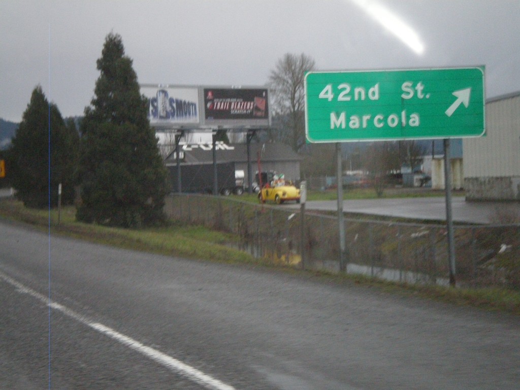
OR-126 East at 42nd St. Exit
OR-126 east at 42nd St./Marcola Exit.
Taken 01-17-2010
 Springfield
Lane County
Oregon
United States
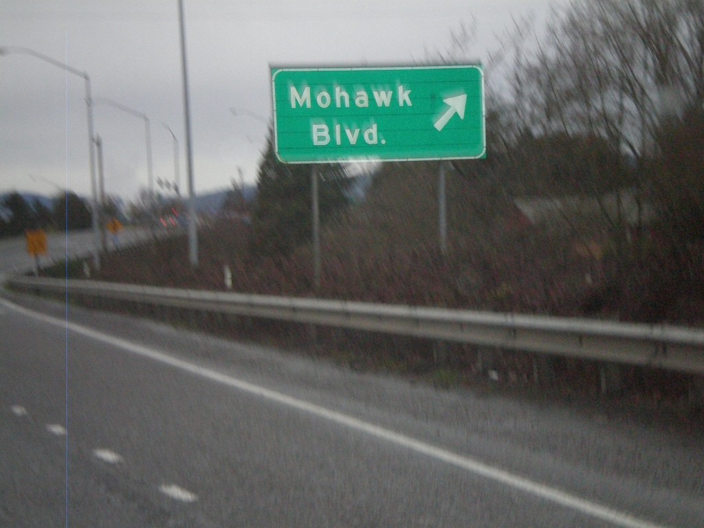
OR-126 East at Mohawk Blvd. Exit
OR-126 east at Mohawk Blvd. Exit
Taken 01-17-2010
 Springfield
Lane County
Oregon
United States
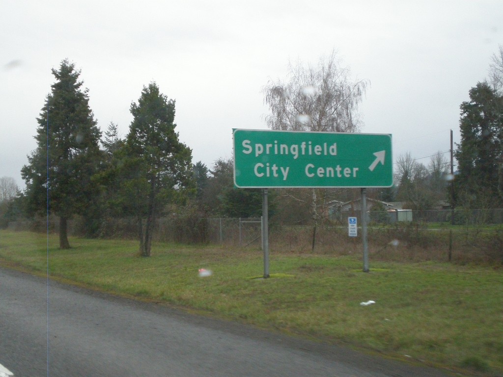
OR-126 East at Springfield City Center Exit
OR-126 east at Springfield City Center exit
Taken 01-17-2010
 Springfield
Lane County
Oregon
United States
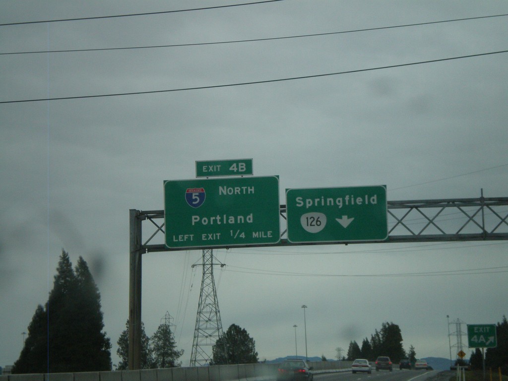
I-105 East at Exit 4B - I-5 North
I-105 East/OR-126 East at Exit 4B - I-5 North/Portland. I-105 ends at Exit 4B, OR-126 continues east to Springfield.
Taken 01-17-2010


 Eugene
Lane County
Oregon
United States
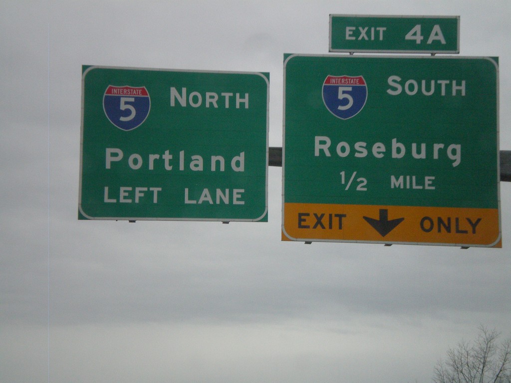
I-105/OR-126 East Approaching I-5
I-105/OR-126 East approaching I-5 at Exit 4A and 4B. Exit 4A - I-5 South/Roseburg. Exit 4B - I-5 North/Portland
Taken 01-17-2010

 Eugene
Lane County
Oregon
United States
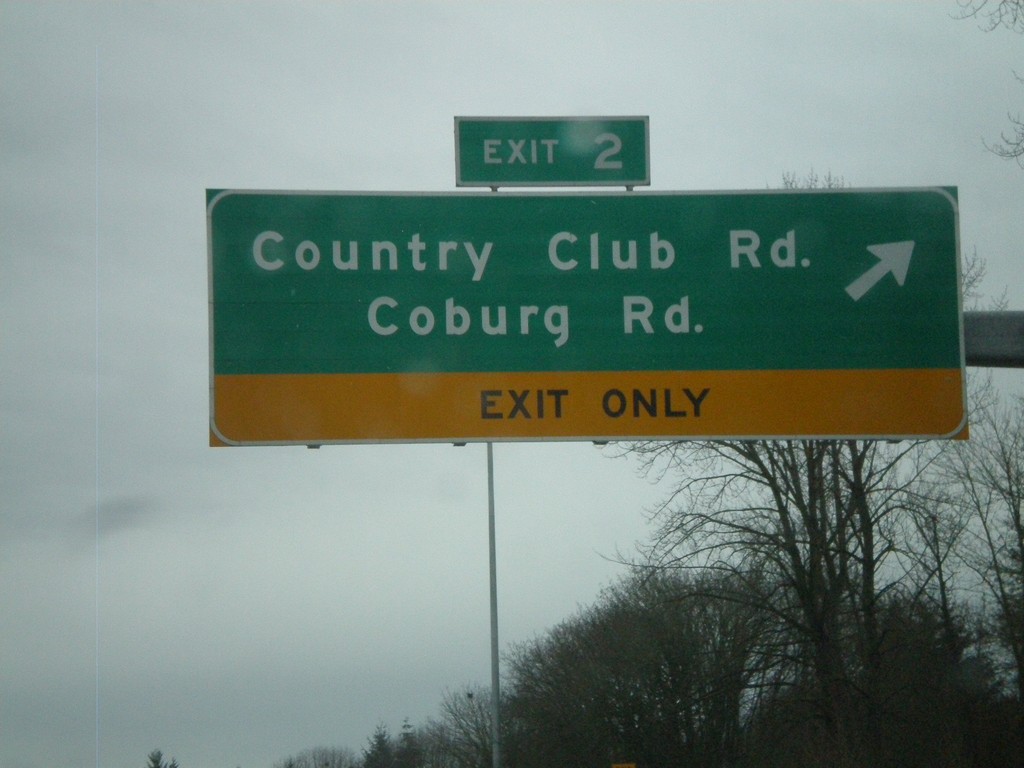
I-105/OR-126 East at Exit 2
I-105/OR-126 East at Exit 2 - Country Club Road/Coburg Road
Taken 01-17-2010
 Eugene
Lane County
Oregon
United States
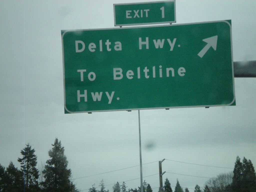
I-105 East - Exit 1
I-105 East/OR-126 East at Exit 1 - Delta Highway/To Beltline Highway
Taken 01-17-2010

 Eugene
Lane County
Oregon
United States
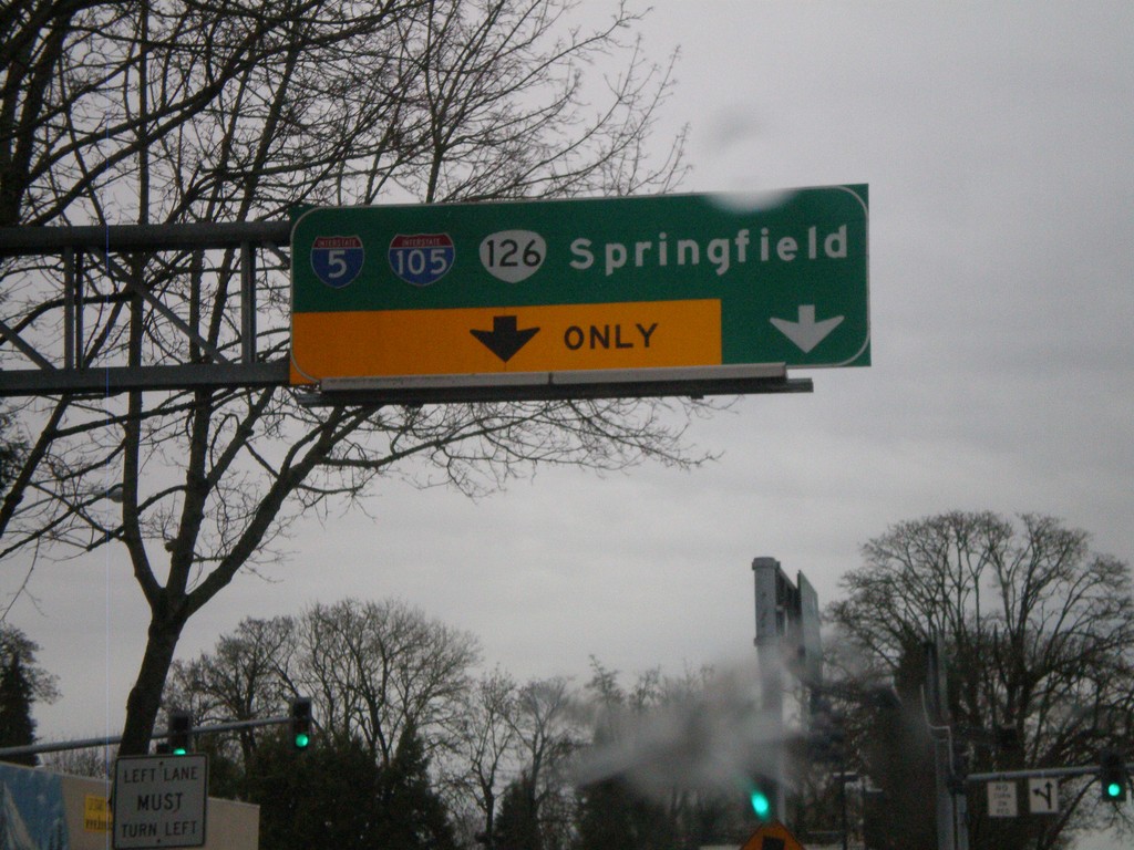
OR-126 East/OR-99 South at I-105
OR-126 East/OR-99 South at I-105. OR-126 East joins I-105 east to I-5 and Springfield. OR-99 continues south through Eugene.
Taken 01-17-2010


 Eugene
Lane County
Oregon
United States
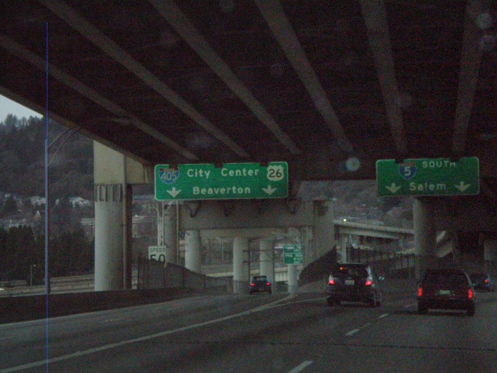
I-5 South at I-405/US-26
I-5 south at I-405/US-26 to City Center and Beaverton. Taken on the western approach to the Marquam Bridge over the Willamette River. I-5 continues south to Salem.
Taken 01-15-2010


 Portland
Multnomah County
Oregon
United States
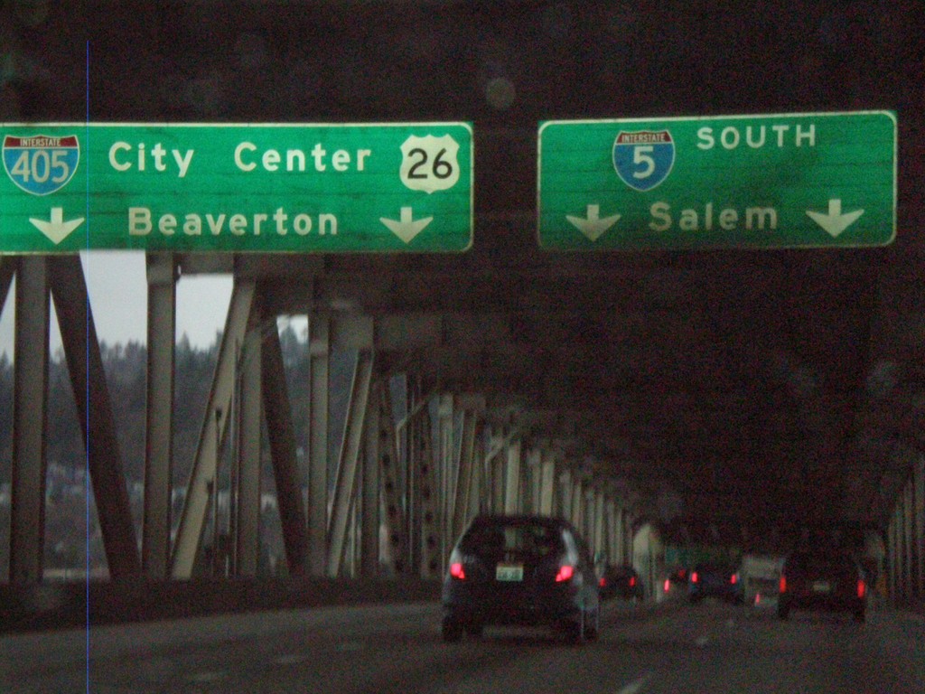
I-5 South Approaching I-405
I-5 south approaching I-405/US-26 to City Center and Beaverton. Taken on the Marquam Bridge over the Willamette River. I-5 continues south to Salem.
Taken 01-15-2010


 Portland
Multnomah County
Oregon
United States
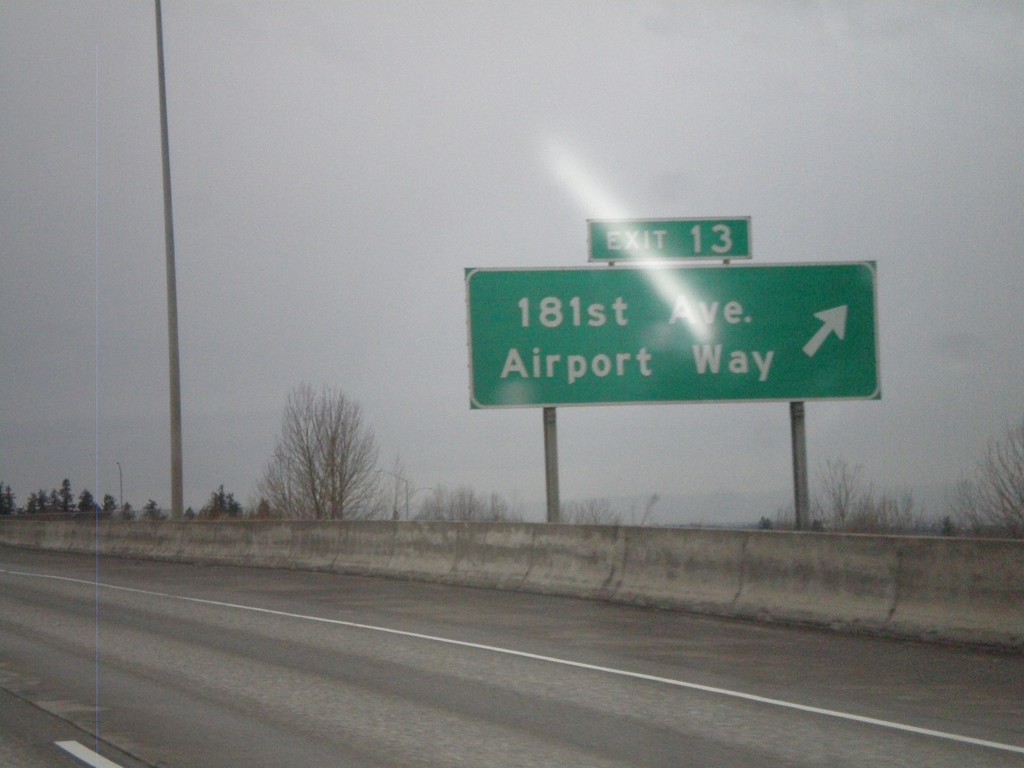
I-84 West - Exit 13
I-84 west at Exit 13 - 181st Ave./Airport Way.
Taken 01-15-2010

 Portland
Multnomah County
Oregon
United States
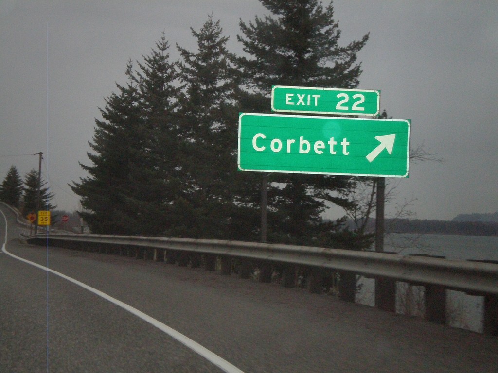
I-84 West - Exit 22
I-84 west at Exit 22 - Corbett
Taken 01-15-2010

 Corbett
Multnomah County
Oregon
United States
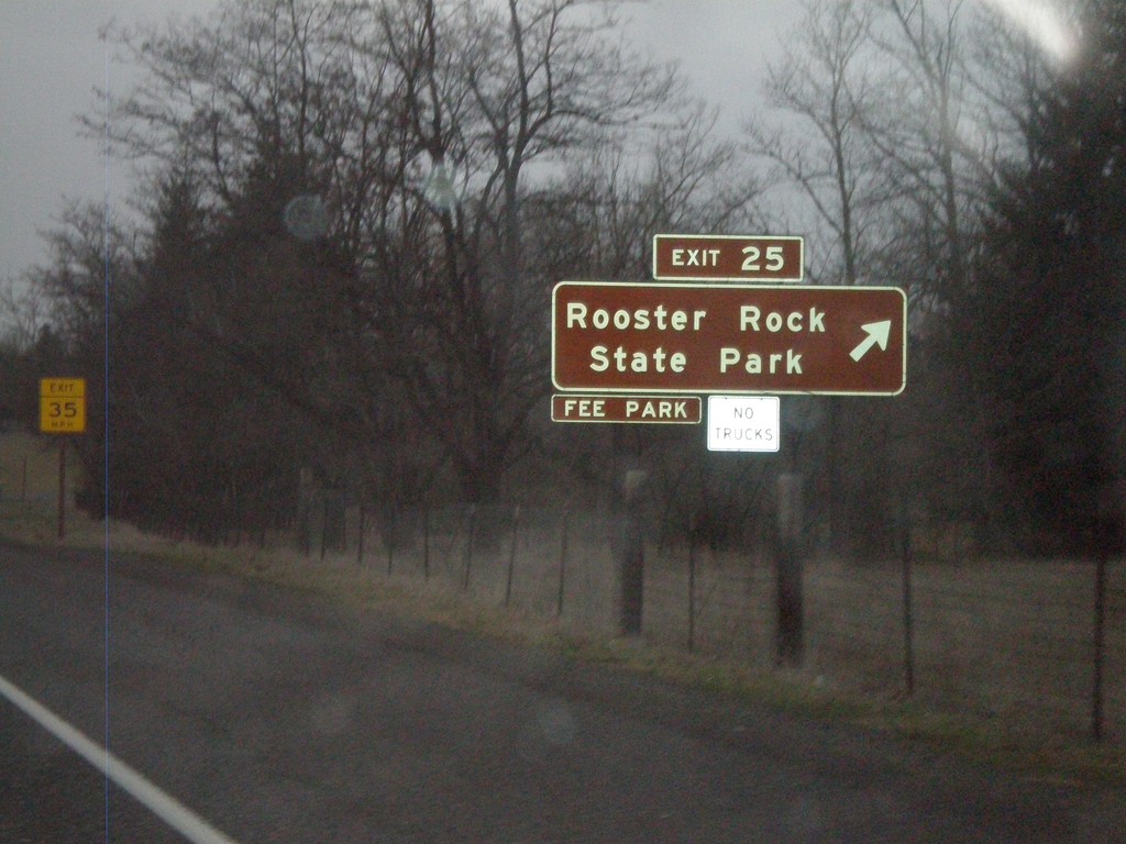
I-84 West - Exit 25
I-84 west at Exit 25 - Rooster Rock State Park
Taken 01-15-2010

 Corbett
Multnomah County
Oregon
United States
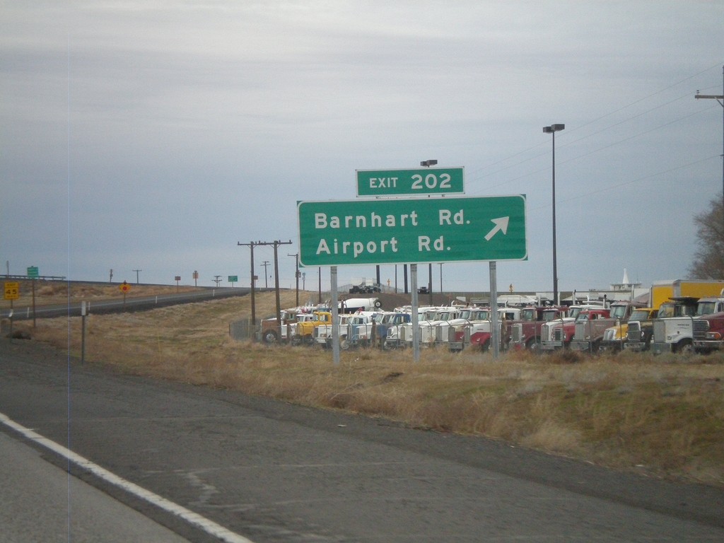
I-84 West - Exit 202
I-84 west at Exit 202 - Barnhart Road/Airport Road. This was renamed in 2009 from Barnhart Road/Stage Gulch with the completion of a connector road to the Pendleton Airport.
Taken 01-14-2010


 Pendleton
Umatilla County
Oregon
United States
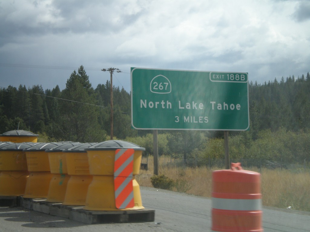
I-80 East Advanced for Exit 188B
Advanced signage for Exit 188B - CA-267/North Lake Tahoe. Approaching Exit 185 - CA-89 south, Lake Tahoe. Both CA-89 and CA-267 connect Truckee with the north shore of Lake Tahoe.
Taken 10-04-2009


 Truckee
Nevada County
California
United States
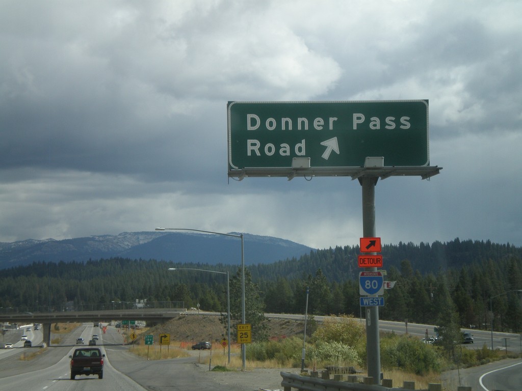
I-80 East - Exit 184
I-80 east at Exit 184 - Donner Pass Road
Taken 10-04-2009
 Truckee
Nevada County
California
United States
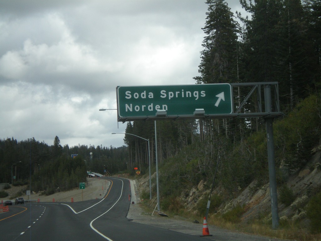
I-80 East - Exit 174
I-80 east at Exit 174 - Soda Springs/Norden
Taken 10-04-2009
 Soda Springs
Nevada County
California
United States
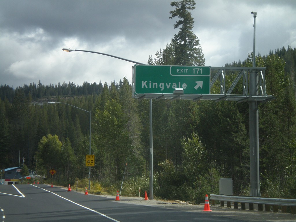
I-80 East - Exit 171
I-80 east at Exit 171 - Kingvale
Taken 10-04-2009
 Troy
Placer County
California
United States
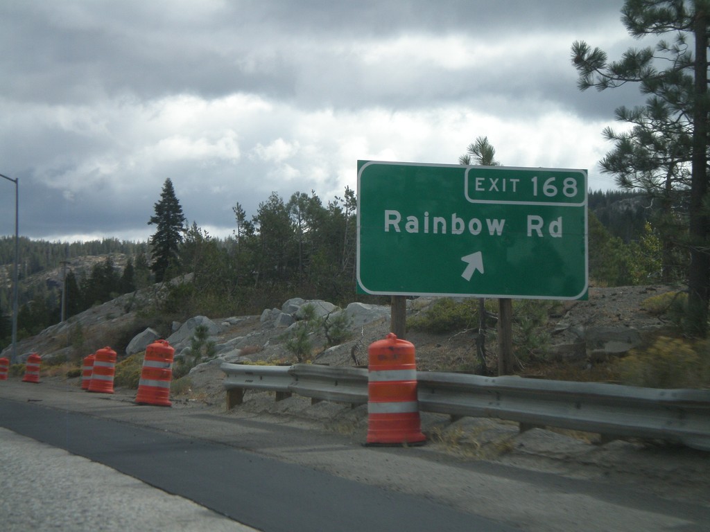
I-80 East - Exit 168
I-80 east at Exit 168 - Rainbow Road
Taken 10-04-2009
 Emigrant Gap
Placer County
California
United States
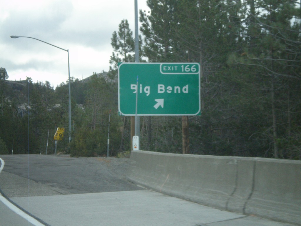
I-80 East - Exit 166
I-80 east at Exit 166 - Big Bend
Taken 10-04-2009
 Big Bend
Placer County
California
United States
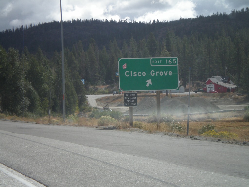
I-80 East at Exit 165
I-80 east at Exit 165 - Cisco Grove
Taken 10-04-2009
 Emigrant Gap
Placer County
California
United States
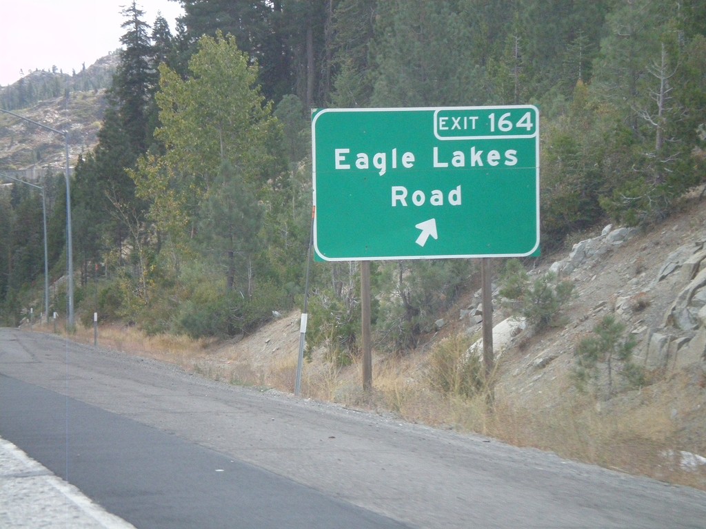
I-80 East - Exit 164
I-80 east at Exit 164 - Eagle Lakes Road
Taken 10-04-2009
 Nevada City
Nevada County
California
United States