Signs Tagged With Freeway Junction
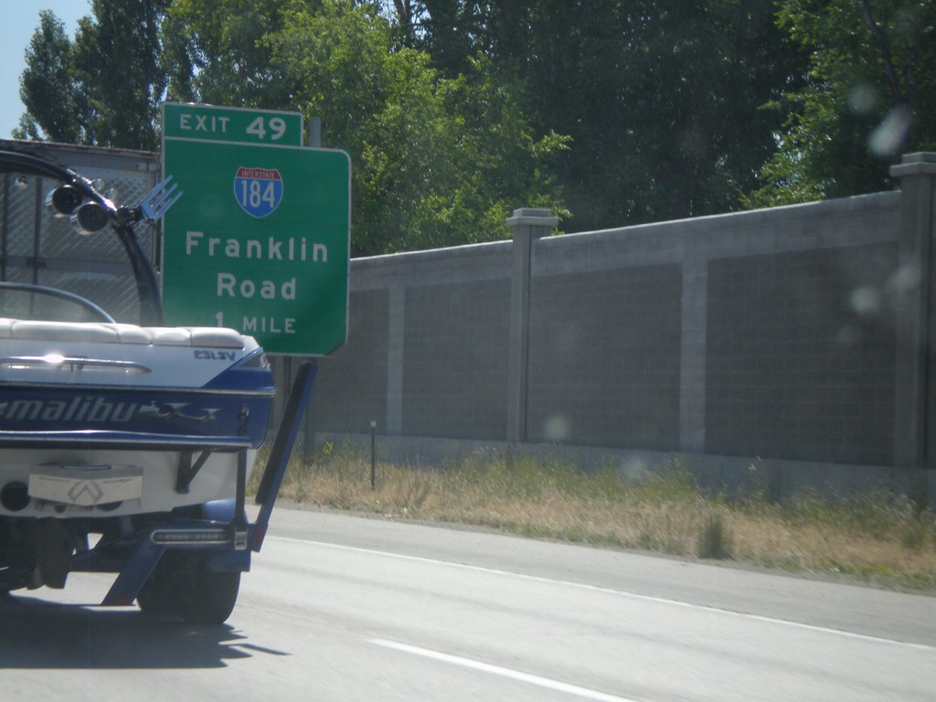
I-84 East Approaching Exit 49
I-84/US-30 east approaching Exit 49 - I-184/City Center. Use Exit 49, for Franklin Road access.
Taken 06-28-2009


 Boise
Ada County
Idaho
United States
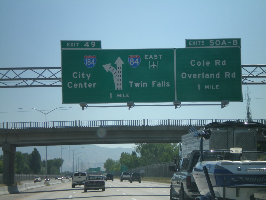
I-84 East Exits 49 and Exits 50AB
I-84 east approaching Exit 49 - I-184/City Center. Also approaching Exits 50A-B Cole Road/Overland Road. I-84 east continues towards Twin Falls and the Boise Air Terminal.
Taken 06-28-2009
Boise
Ada County
Idaho
United States
US-95 South Approaching ID-58
US-95 south approaching new ID-58 interchange. ID-58/Spokane/Tribal Casino.
Taken 05-22-2009

 Worley
Kootenai County
Idaho
United States

I-10 West - Exit 17
I-10 west at Exit 17 - Quartzsite.
Taken 03-23-2009

 Quartzsite
La Paz County
Arizona
United States

I-10 West - Exit 19
I-10 West at Exit 19 - US-95/AZ-95/Parker/Yuma
Taken 03-23-2009
 Quartzsite
La Paz County
Arizona
United States

I-10 West - Exit 31
I-10 West at Exit 31 - US-60 East/Wickenburg/Prescott. This is the western terminus of US-60 west. The eastern terminus of US-60 is in Virginia Beach, VA.
Taken 03-23-2009
 Brenda
La Paz County
Arizona
United States

I-10 West - Exit 45
I-10 West at Exit 45 - US-60 East/Wickenburg/Prescott. This is the western terminus of US-60 west. The eastern terminus of US-60 is in Virginia Beach, VA.
Taken 03-23-2009
 Salome
La Paz County
Arizona
United States

I-10 West Approaching Exit 45
I-10 West approaching Exit 45 - Use Exit 45 for To AZ-72 West/Parker.
Taken 03-23-2009
Salome
La Paz County
Arizona
United States
I-10 West - Exit 53
I-10 West at Exit 53 - Use Exit 45 for To AZ-72 West/Parker.
Taken 03-23-2009
Salome
La Paz County
Arizona
United States
I-10 West - Exit 69
I-10 West at Exit 69 - Ave. 75E
Taken 03-23-2009
Centennial
La Paz County
Arizona
United States
I-10 West - Exit 81
I-10 west at Exit 81 - Salome Road
Taken 03-23-2009
Tonopah
Maricopa County
Arizona
United States
I-10 West - Exit 94
I-10 west at Exit 94 - Tonopah
Taken 03-23-2009
Tonopah
Maricopa County
Arizona
United States
I-10 West - Exit 98
I-10 west at Exit 98 - Wintersburg Road
Taken 03-23-2009
Tonopah
Maricopa County
Arizona
United States
I-10 West - Exit 103
I-10 west at Exit 103 - 339th Ave.
Taken 03-23-2009
Tonopah
Maricopa County
Arizona
United States
I-10 West - Exit 109
I-10 west at Exit 109 - Sun Valley Parkway/Palo Verde Road
Taken 03-23-2009
Buckeye
Maricopa County
Arizona
United States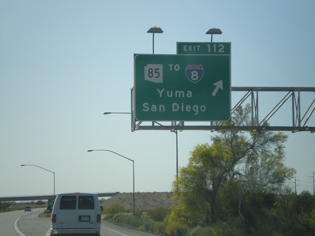
I-10 West - Exit 112
I-10 west at Exit 112 - AZ-85/To I-8/Yuma/San Diego.
Taken 03-23-2009

 Buckeye
Maricopa County
Arizona
United States
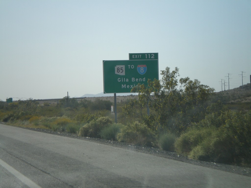
I-10 West Approaching Exit 112
I-10 west approaching Exit 112 - Use Exit 112 for AZ-85/To I-8/Gila Bend/Mexico. The border crossing served by this exit is Lukeville,AZ/Sonoyta,Sonora.
Taken 03-23-2009
Buckeye
Maricopa County
Arizona
United States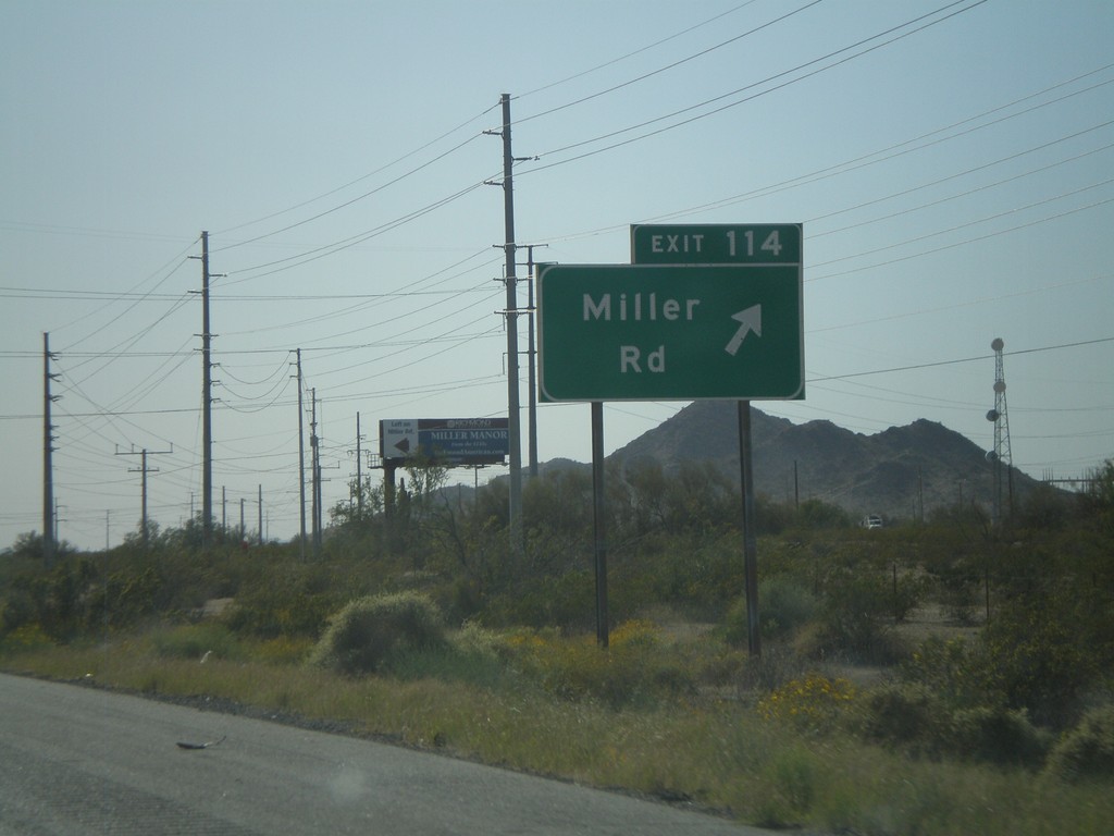
I-10 West - Exit 114
I-10 west at Exit 114 - Use Exit 112 for AZ-85/To I-8/Gila Bend/Mexico. The border crossing served by this exit is Lukeville,AZ/Sonoyta,Sonora.
Taken 03-23-2009
Buckeye
Maricopa County
Arizona
United States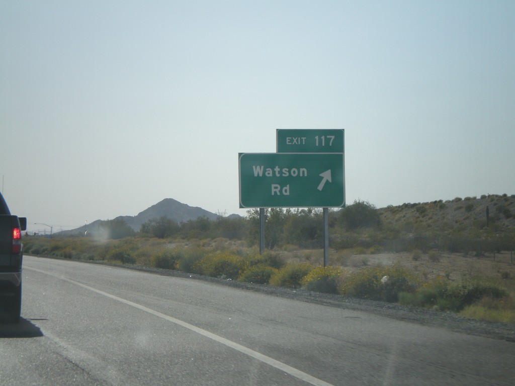
I-10 West - Exit 117
I-10 west at Exit 117 - Watson Road
Taken 03-23-2009
Buckeye
Maricopa County
Arizona
United States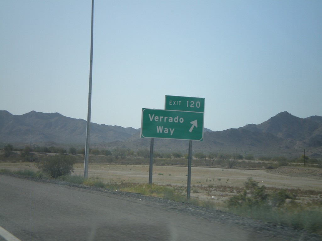
I-10 West - Exit 120
I-10 west at Exit 120 - Verrado Way
Taken 03-23-2009
Buckeye
Maricopa County
Arizona
United States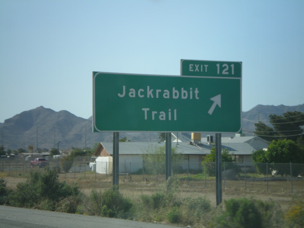
I-10 West - Exit 121
I-10 west at Exit 121 - Jackrabbit Trail
Taken 03-23-2009
Buckeye
Maricopa County
Arizona
United States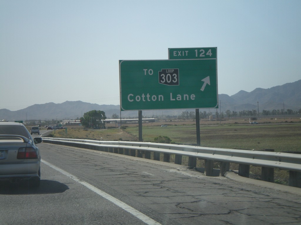
I-10 West - Exit 124
I-10 west at Exit 124 - To AZ-303 Loop/Cotton Lane. AZ-303 is the outermost of the three Phoenix beltways. Each of the three loops has a different color for the shield, although the newer signs just use white. The AZ-303 Loop shield is black.
Taken 03-23-2009
 Goodyear
Maricopa County
Arizona
United States
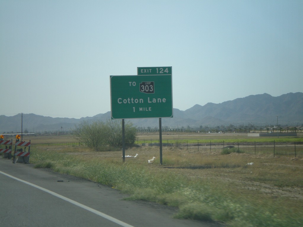
I-10 West Approaching Exit 124
I-10 west approaching Exit 124 - To AZ-303 Loop/Cotton Lane.
Taken 03-23-2009
Goodyear
Maricopa County
Arizona
United States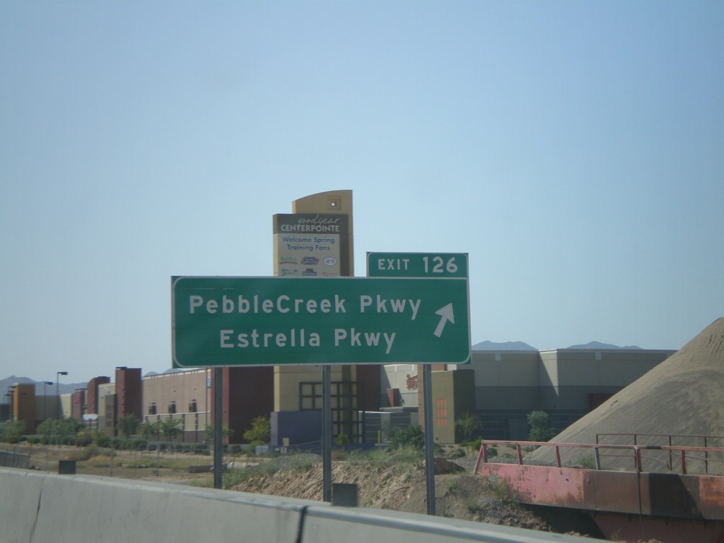
I-10 West - Exit 126
I-10 west at Exit 126 - Pebble Creek Parkway/Estrella Parkway
Taken 03-23-2009
Goodyear
Maricopa County
Arizona
United States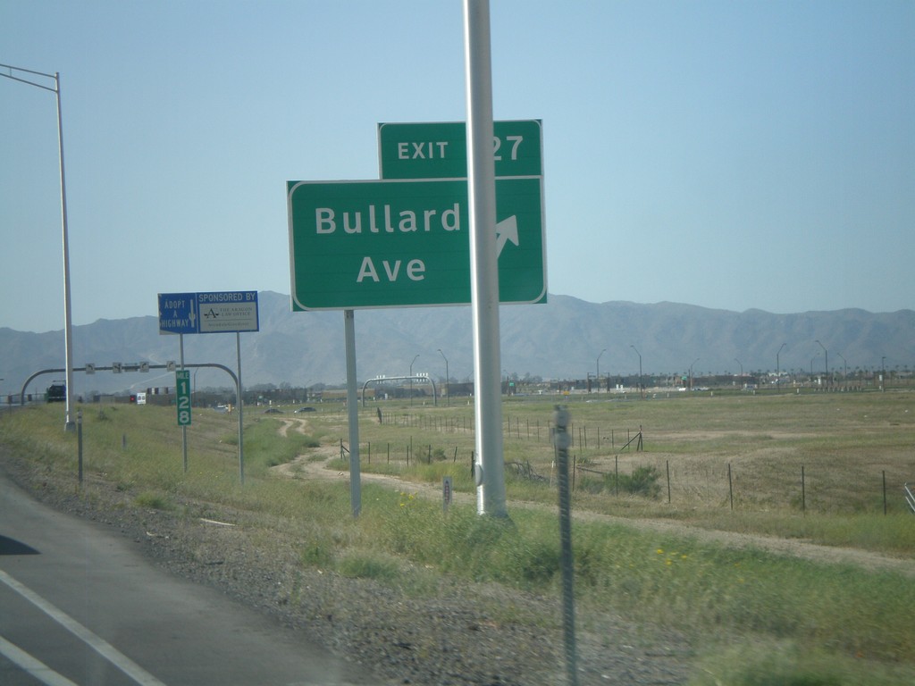
I-10 West - Exit 127
I-10 west at Exit 127 - Bullard Ave. This is a new interchange.
Taken 03-23-2009
Goodyear
Maricopa County
Arizona
United States