Signs Tagged With Freeway Junction
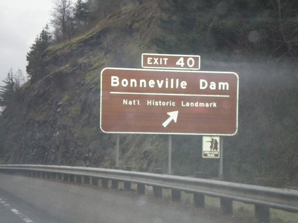
I-84 West - Exit 40
I-84 west at Exit 40 - Bonneville Dam/National Historic Landmark.
Taken 01-19-2008

 Bonneville
Multnomah County
Oregon
United States
Bonneville
Multnomah County
Oregon
United States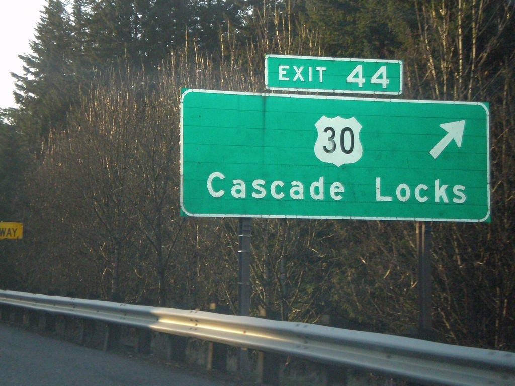
I-84 West - Exit 44
I-84 west at Exit 44 - US-30/Cascade Locks.
Taken 01-18-2008
Cascade Locks
Hood River County
Oregon
United States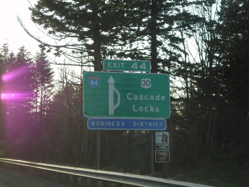
I-84 West Approaching Exit 44 - Route Diagram
I-84 west approaching Exit 44 - US-30/Cascade Locks.
Taken 01-18-2008
Cascade Locks
Hood River County
Oregon
United States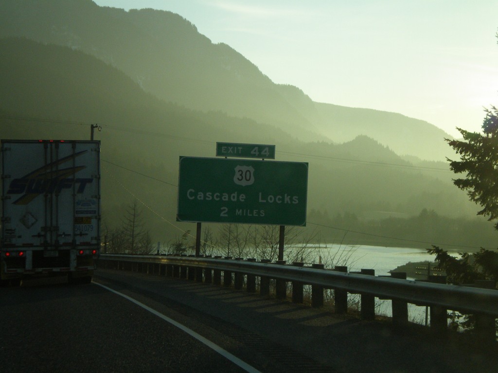
I-84 West Approaching Exit 44
I-84 west approaching Exit 44 - US-30/Cascade Locks.
Taken 01-18-2008
Cascade Locks
Hood River County
Oregon
United States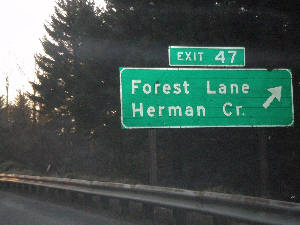
I-84 West - Exit 47
I-84 west at Exit 47 - Forest Lane/Herman Creek.
Taken 01-18-2008
Cascade Locks
Hood River County
Oregon
United States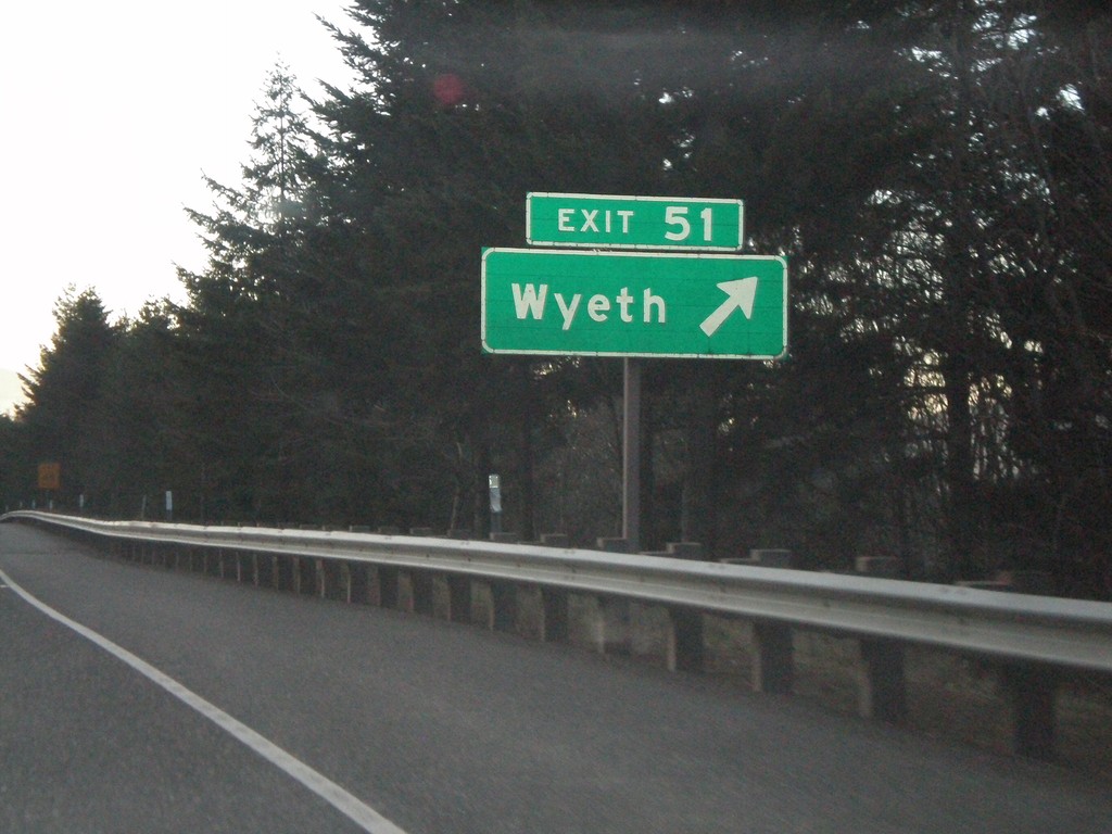
I-84 West - Exit 51
I-84 west at Exit 51 - Wyeth.
Taken 01-18-2008
Wyeth
Hood River County
Oregon
United States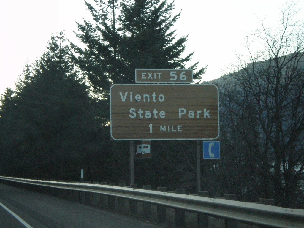
I-84 West Approaching Exit 56
I-84 west approaching Exit 56 - Viento State Park.
Taken 01-18-2008
Cascade Locks
Hood River County
Oregon
United States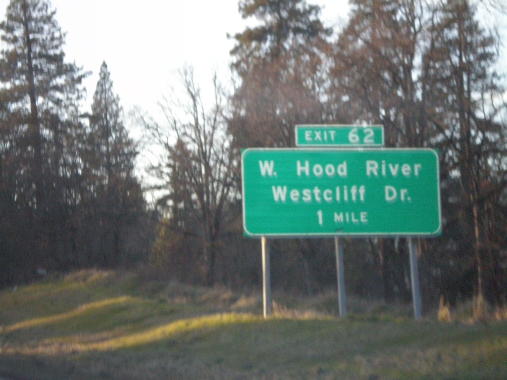
I-84 West Approaching Exit 62
I-84 west approaching Exit 62 - West Hood River/Westcliff Drive.
Taken 01-18-2008
Hood River
Hood River County
Oregon
United States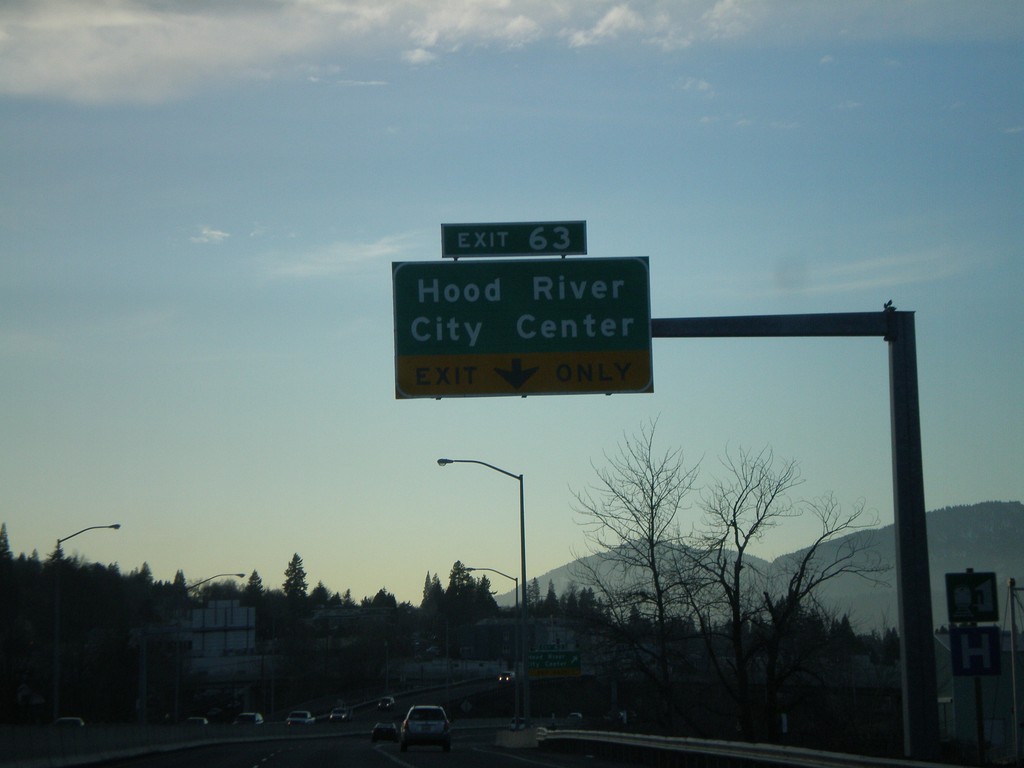
I-84 West - Exit 63
I-84 west at Exit 63 - Hood River City Center.
Taken 01-18-2008
Hood River
Hood River County
Oregon
United States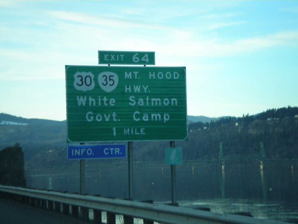
I-84 West Approaching Exit 64
I-84 west approaching Exit 64 - US-30/OR-35/Mount Hood Highway/White Salmon (WA)/Government Camp.
Taken 01-18-2008
 Hood River
 County
Oregon
United States
Hood River
Hood River County
Oregon
United States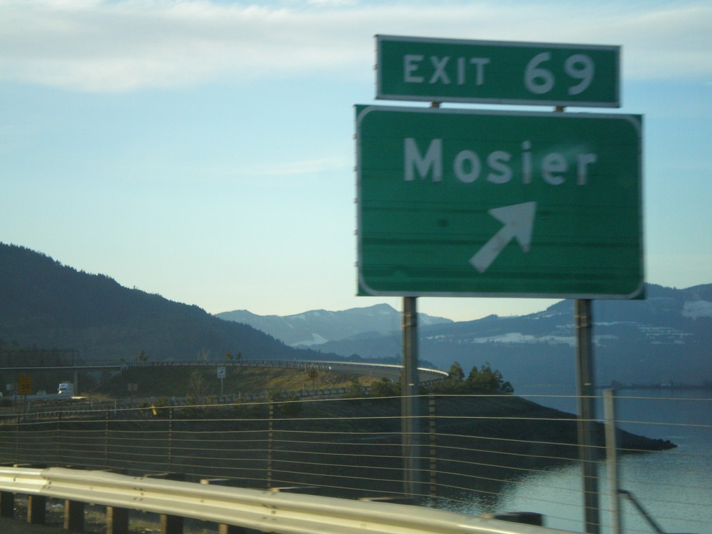
I-84 West - Exit 69
I-84 west at Exit 69 - Mosier.
Taken 01-18-2008
Mosier
Wasco County
Oregon
United States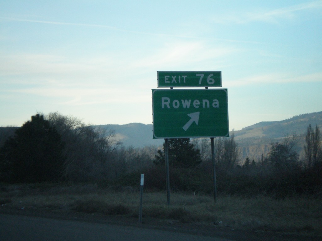
I-84 West - Exit 76
I-84 west at Exit 76 - Rowena.
Taken 01-18-2008
The Dalles
Wasco County
Oregon
United States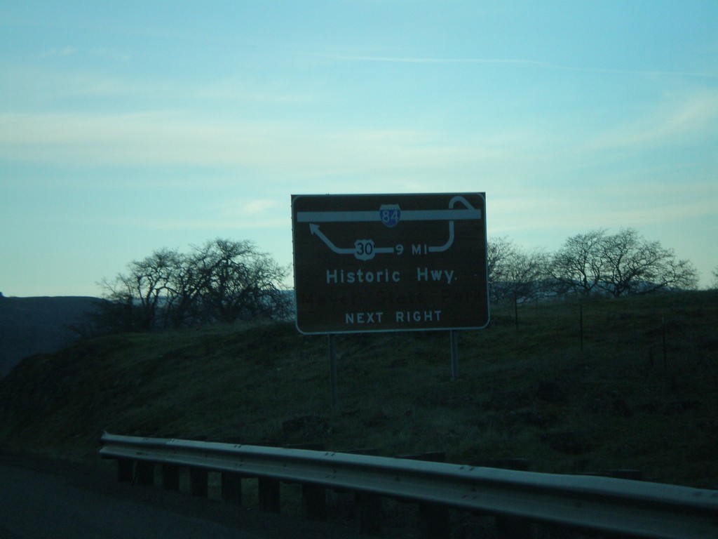
I-84 West Route Diagram Approaching Exit 76
Route diagram for Historic Columbia River Highway approaching Exit 76 on I-84 west.
Taken 01-18-2008
The Dalles
Wasco County
Oregon
United States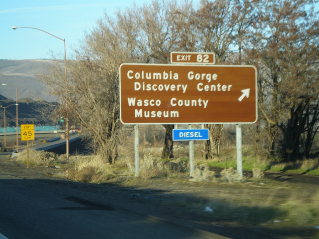
I-84 West - Exit 82
I-84 west at Exit 82 - Columbia Gorge Discovery Center/Wasco County Museum.
Taken 01-18-2008
The Dalles
Wasco County
Oregon
United States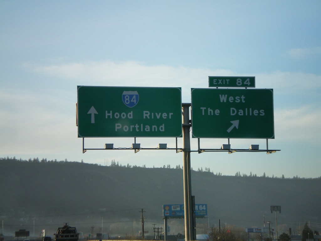
I-84 West - Exit 84
I-84 west at Exit 84 - West The Dalles. Continue west on I-84 for Hood River and Portland.
Taken 01-18-2008
The Dalles
Wasco County
Oregon
United States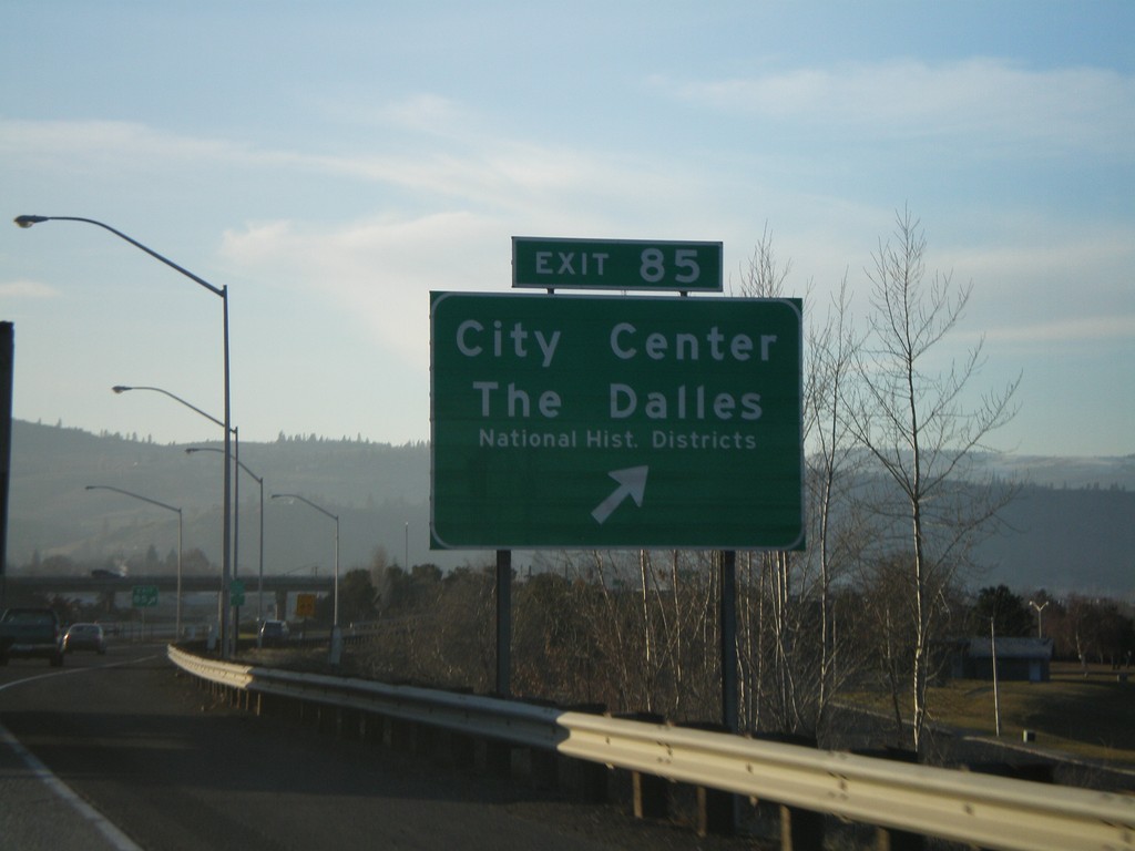
I-84 West - Exit 85
I-84 west at Exit 85 - City Center/The Dalles/National Historic Districts.
Taken 01-18-2008
The Dalles
Wasco County
Oregon
United States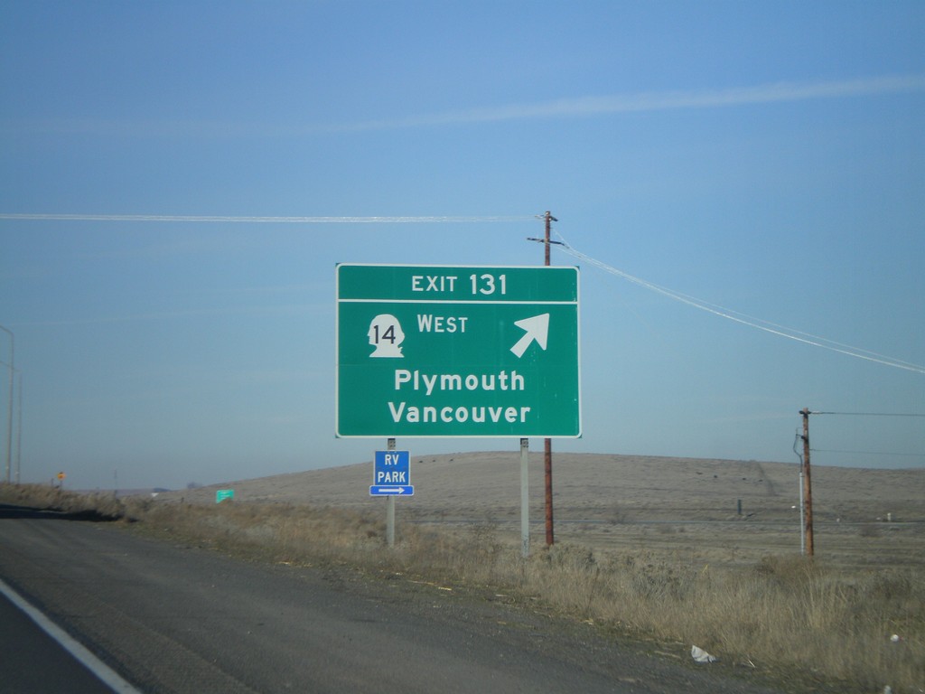
I-82 West - Exit 131
I-82 west at Exit 131 - WA-14 West/Plymouth/Vancouver. WA-14 parallels I-84 on the Washington side of the Columbia River.
Taken 01-18-2008


 Plymouth
Benton County
Washington
United States
Plymouth
Benton County
Washington
United States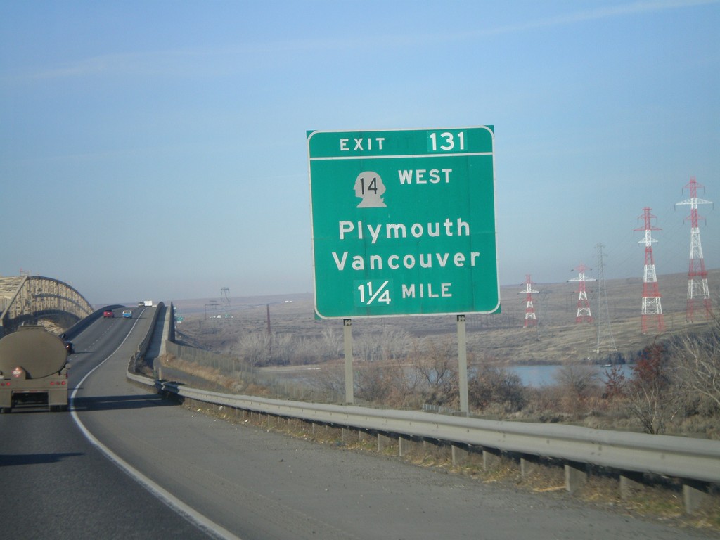
I-82 West - Exit 131 (Washington)
I-82 west at Columbia River bridge. Approaching Exit 131 - WA-14/Vancouver/Plymouth.
Taken 01-18-2008
Umatilla
Umatilla County
Oregon
United States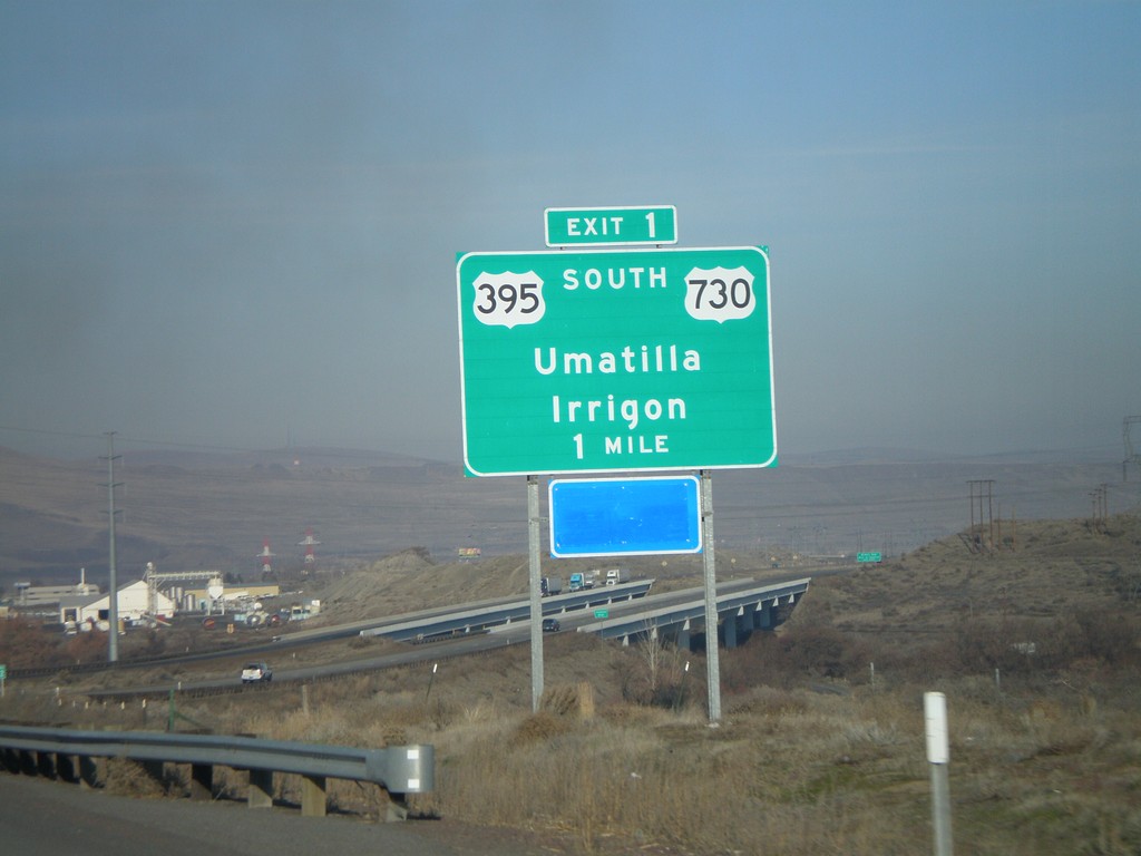
I-82 West - Exit 1
I-82 west approaching Exit 1 - US-730/US-395 South/Umatilla/Irrigon.
Taken 01-18-2008
 Umatilla
 County
Oregon
United States
Umatilla
Umatilla County
Oregon
United States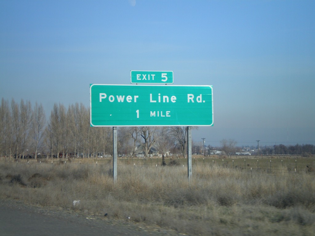
I-82 West - Exit 5
I-82 west approaching Exit 5 - Power Line Road.
Taken 01-18-2008
Hermiston
Umatilla County
Oregon
United States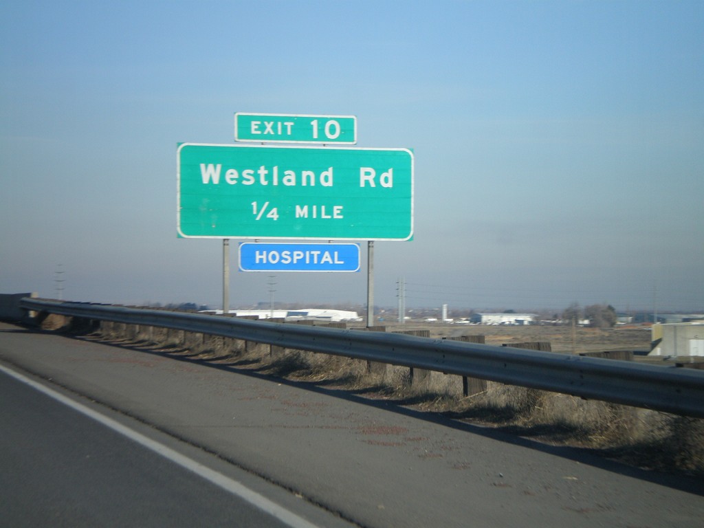
I-82 West - Exit 10
I-82 west at Exit 10 - Westland Road.
Taken 01-18-2008
Hermiston
Umatilla County
Oregon
United States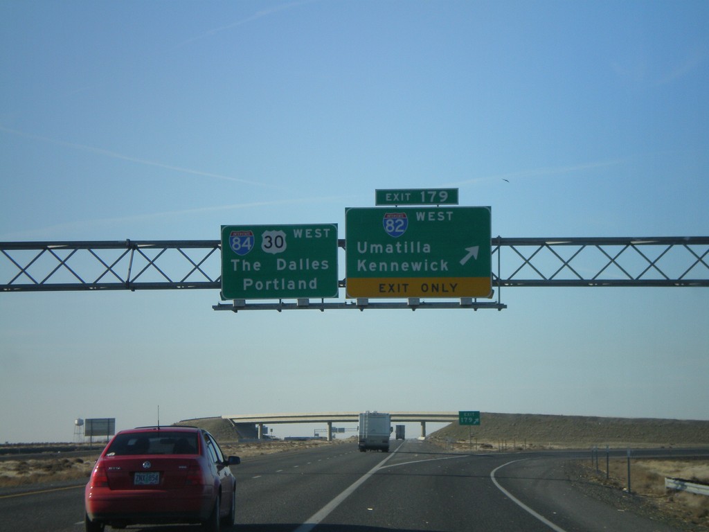
I-84 West - Exit 179
I-84 west at Exit 179 - I-82 West/Kennewick/Umatilla. Continue west on I-84/US-30 to The Dalles and Portland.
Taken 01-18-2008
Hermiston
Umatilla County
Oregon
United States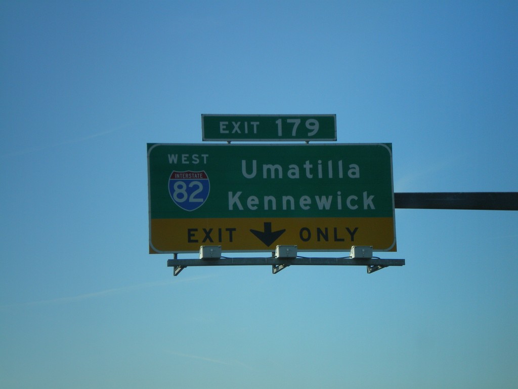
I-84 West - Exit 179
I-84 West at Exit 179 - I-82 West/Kennewick/Umatilla.
Taken 01-18-2008
Hermiston
Umatilla County
Oregon
United States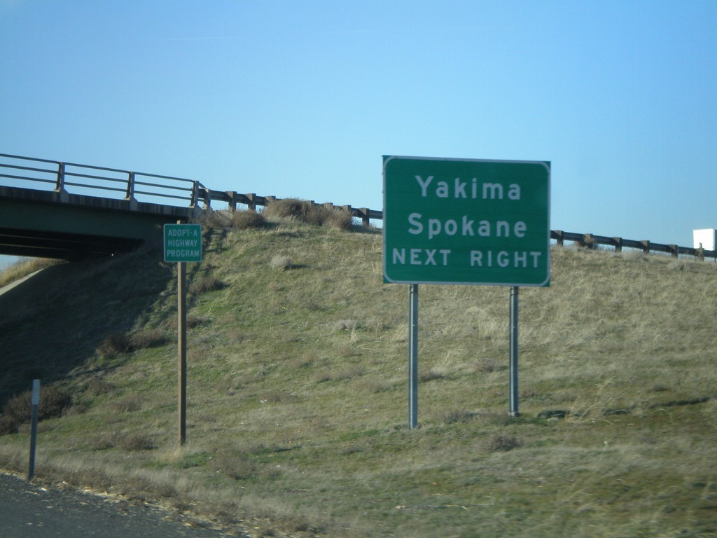
I-84 West - Approaching Exit 179
I-84 West approaching Exit 179. Use I-82 West (Exit 179) for Yakima and Spokane (both in Washington).
Taken 01-18-2008
Hermiston
Umatilla County
Oregon
United States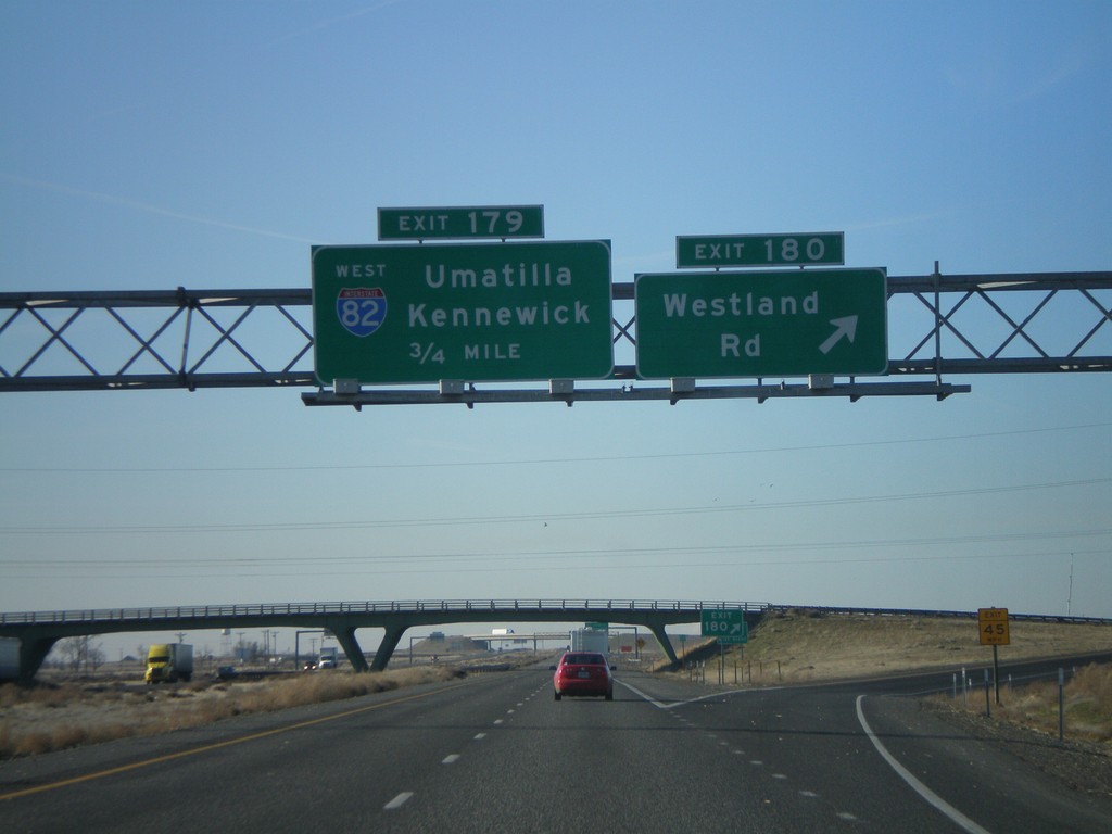
I-84 West Exits 180/179 - I-82 Jct.
I-84 west at Exit 180 - Westland Road. Approaching Exit 179 - I-82 West/Umatilla/Kennewick.
Taken 01-18-2008
Hermiston
Umatilla County
Oregon
United States