Signs Tagged With Freeway Junction
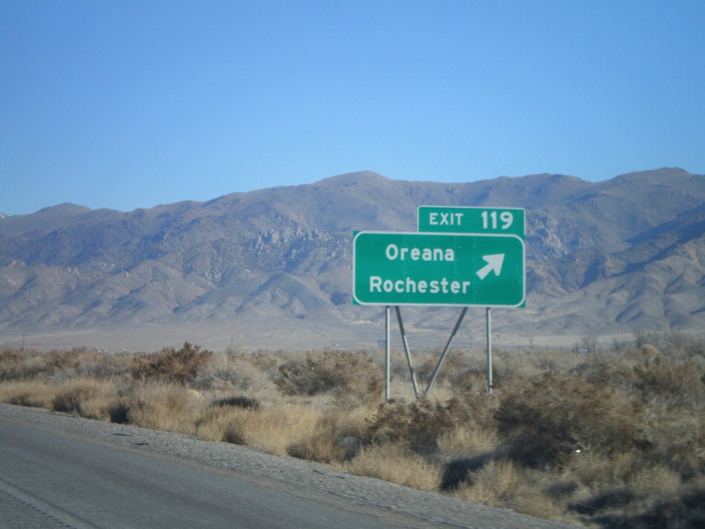
I-80 East Exit 119
I-80 east at Exit 119 - Oreana/Rochester
Taken 11-24-2007

 Lovelock
Pershing County
Nevada
United States
Lovelock
Pershing County
Nevada
United States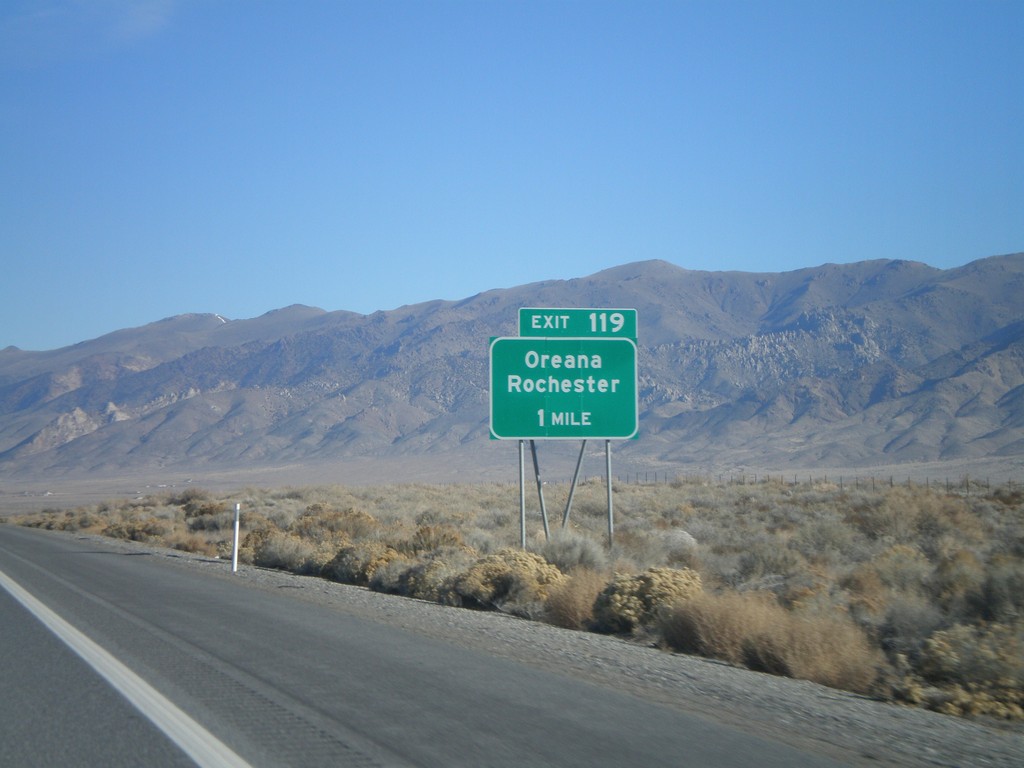
I-80 East Exit 119
I-80 east approaching Exit 119 - Oreana/Rochester
Taken 11-24-2007
Woolsey
Pershing County
Nevada
United States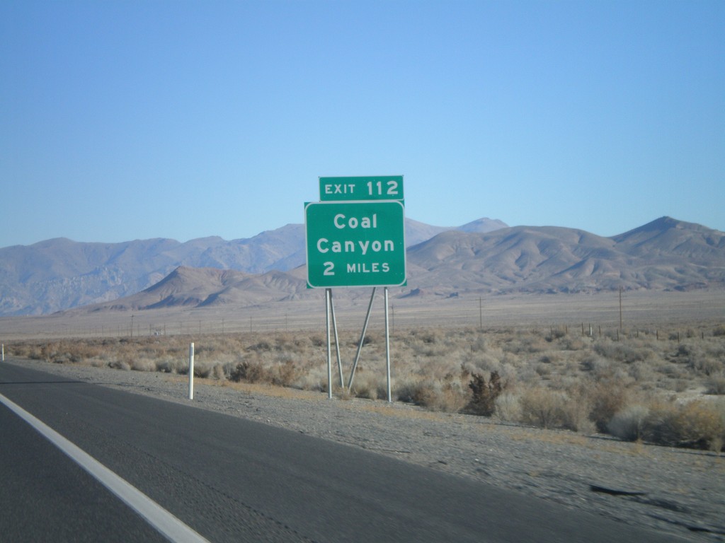
I-80 East Exit 112
I-80 east approaching Exit 112 - Coal Canyon
Taken 11-24-2007
Lovelock
Pershing County
Nevada
United States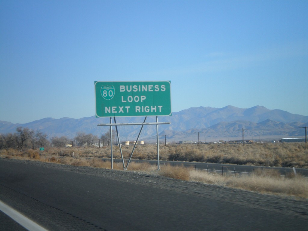
I-80 East Exit 105 - Business Loop
I-80 east approaching Exit 105. Use Exit 105 for Business Loop.
Taken 11-24-2007
 Lovelock
Pershing County
Nevada
United States
Lovelock
Pershing County
Nevada
United States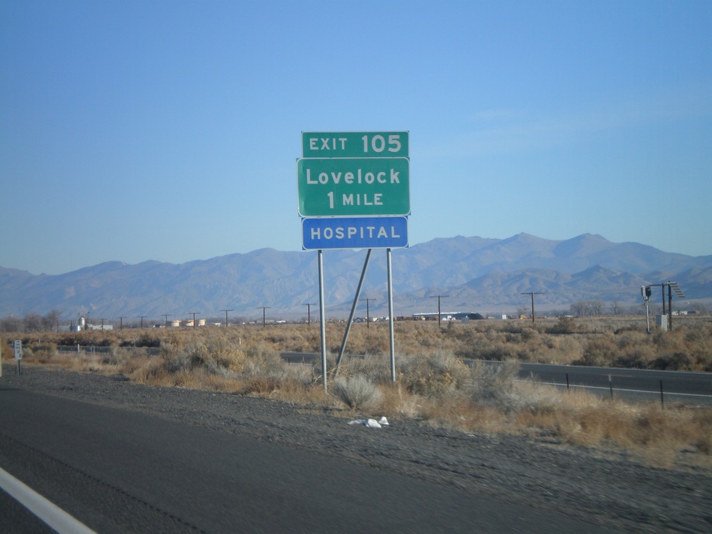
I-80 East Exit 105
I-80 east approaching Exit 105 - Lovelock
Taken 11-24-2007
Lovelock
Pershing County
Nevada
United States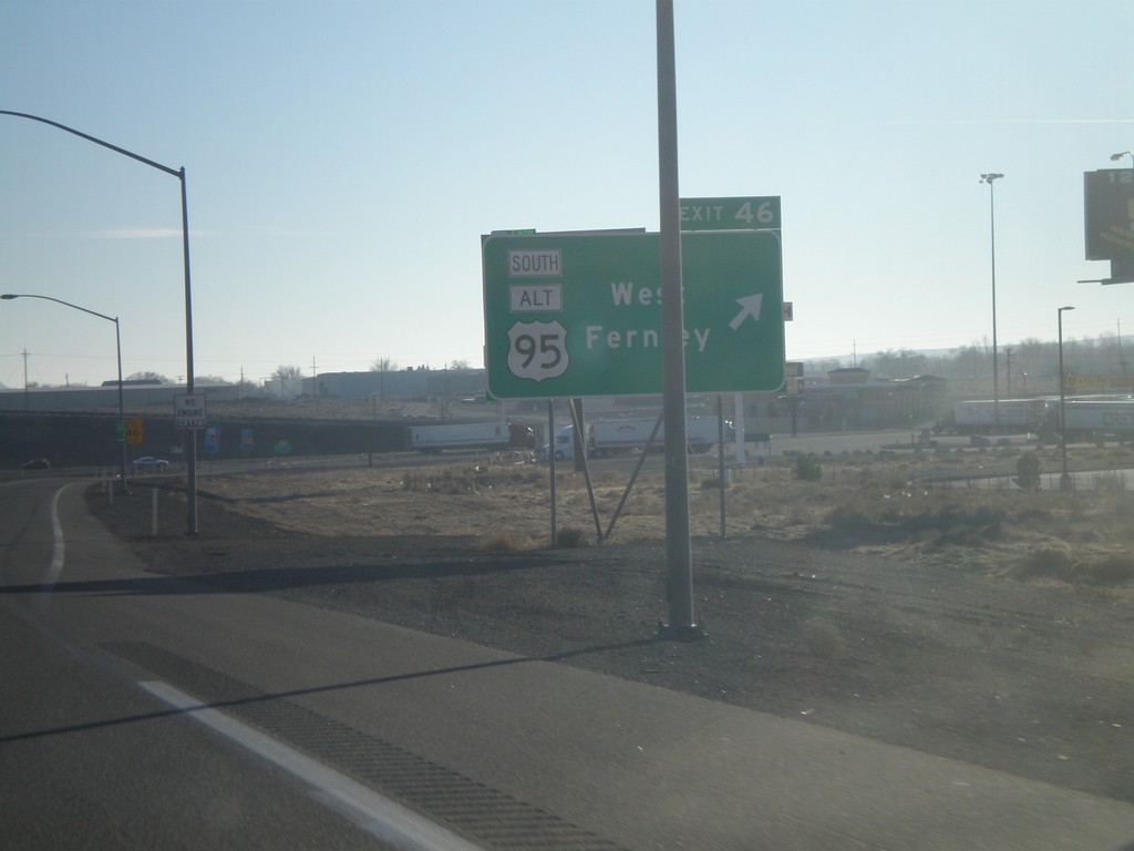
I-80 East Exit 46
I-80 east at Exit 46 - US-95 Alt South/West Fernley
Taken 11-24-2007

 Fernley
Lyon County
Nevada
United States
Fernley
Lyon County
Nevada
United States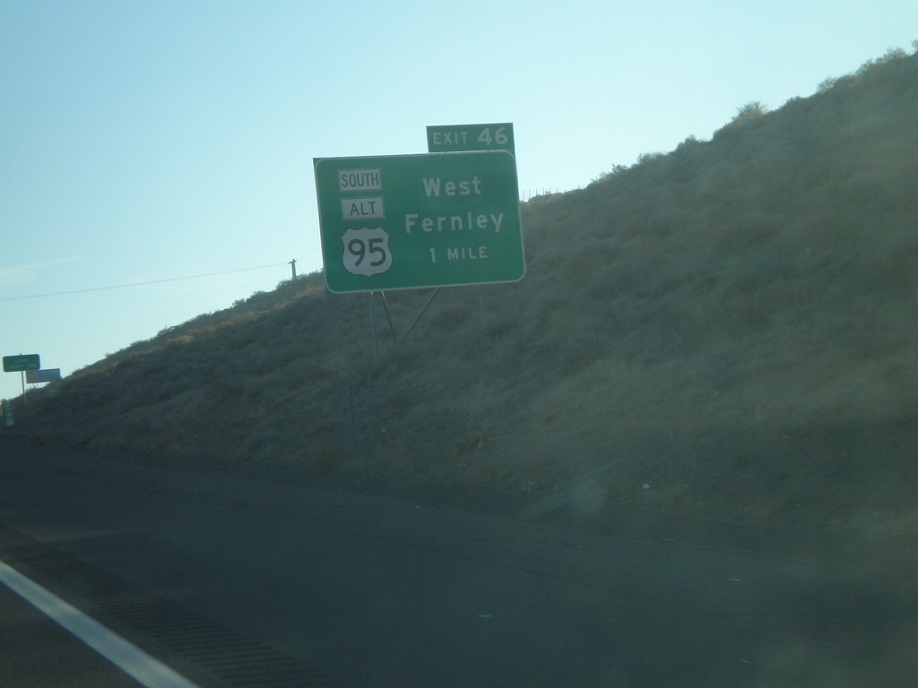
I-80 East Exit 46
I-80 east approaching Exit 46 - US-95 Alt South/West Fernley
Taken 11-24-2007
Fernley
Storey County
Nevada
United States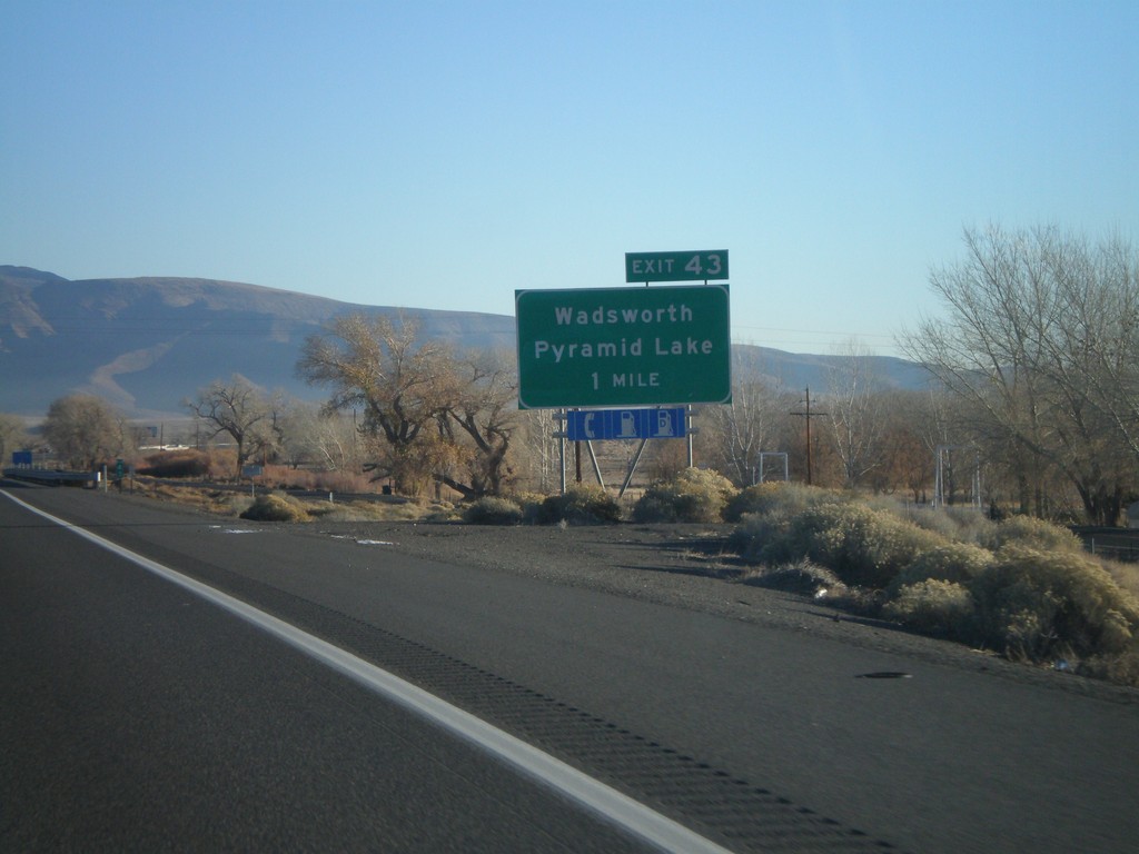
I-80 East Exit 43
I-80 east approaching Exit 43 - Wadsworth/Pyramid Lake
Taken 11-24-2007
Fernley
Washoe County
Nevada
United States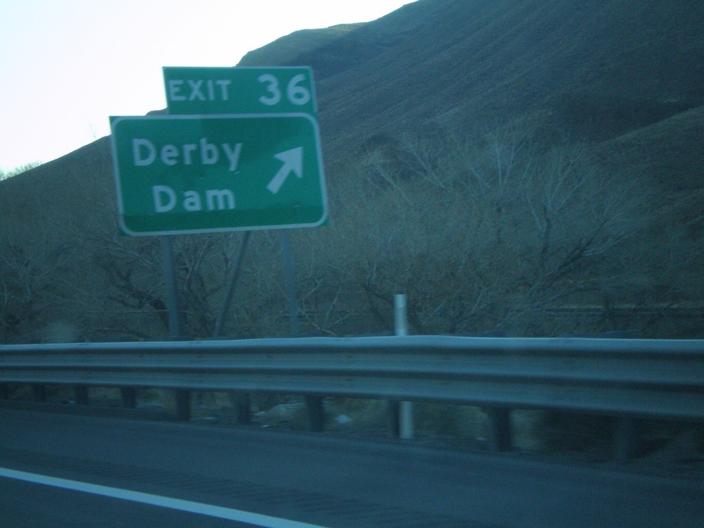
I-80 East Exit 36
I-80 east at Exit 36 - Derby Dam
Taken 11-24-2007
Fernley
Lyon County
Nevada
United States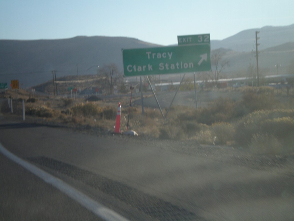
I-80 East Exit 32
I-80 east at Exit 32 - Tracy/Clark Station
Taken 11-24-2007
Sparks
Washoe County
Nevada
United States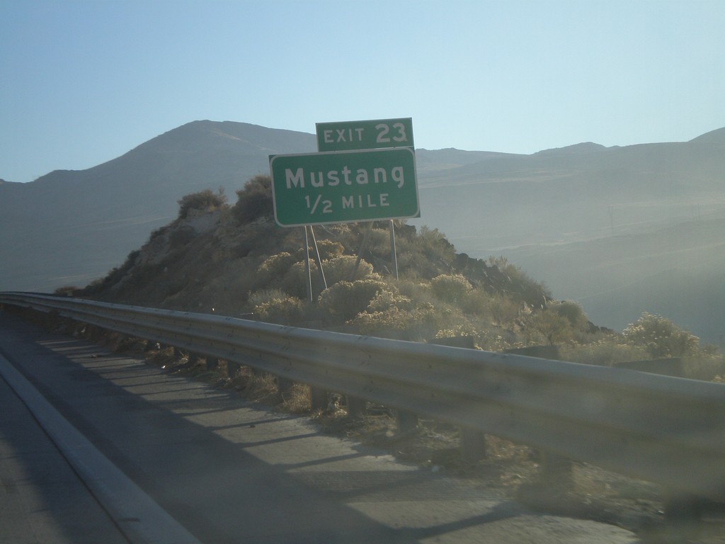
I-80 East Exit 23
I-80 east approaching Exit 23 - Mustang
Taken 11-24-2007
Sparks
Washoe County
Nevada
United States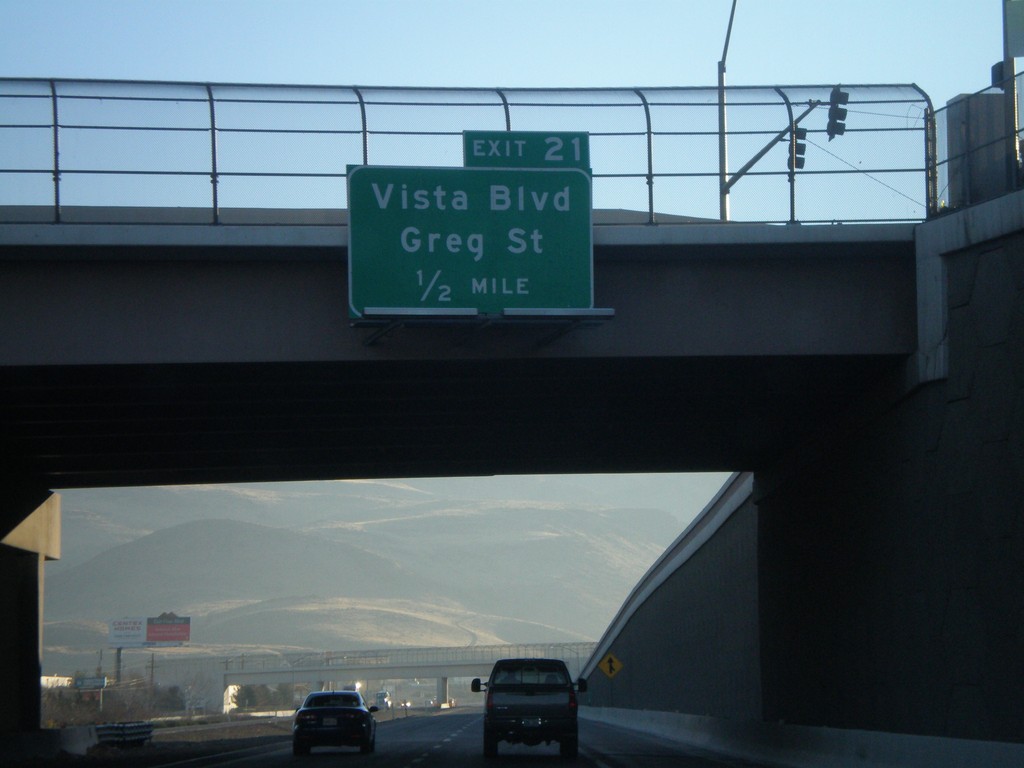
I-80 East Exit 21
I-80 east approaching Exit 21 - Vista Blvd./Greg St
Taken 11-24-2007
Sparks
Washoe County
Nevada
United States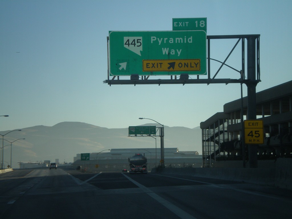
I-80 East Exit 18
I-80 east at Exit 18 - NV-445/Pyramid Way
Taken 11-24-2007
 Sparks
Washoe County
Nevada
United States
Sparks
Washoe County
Nevada
United States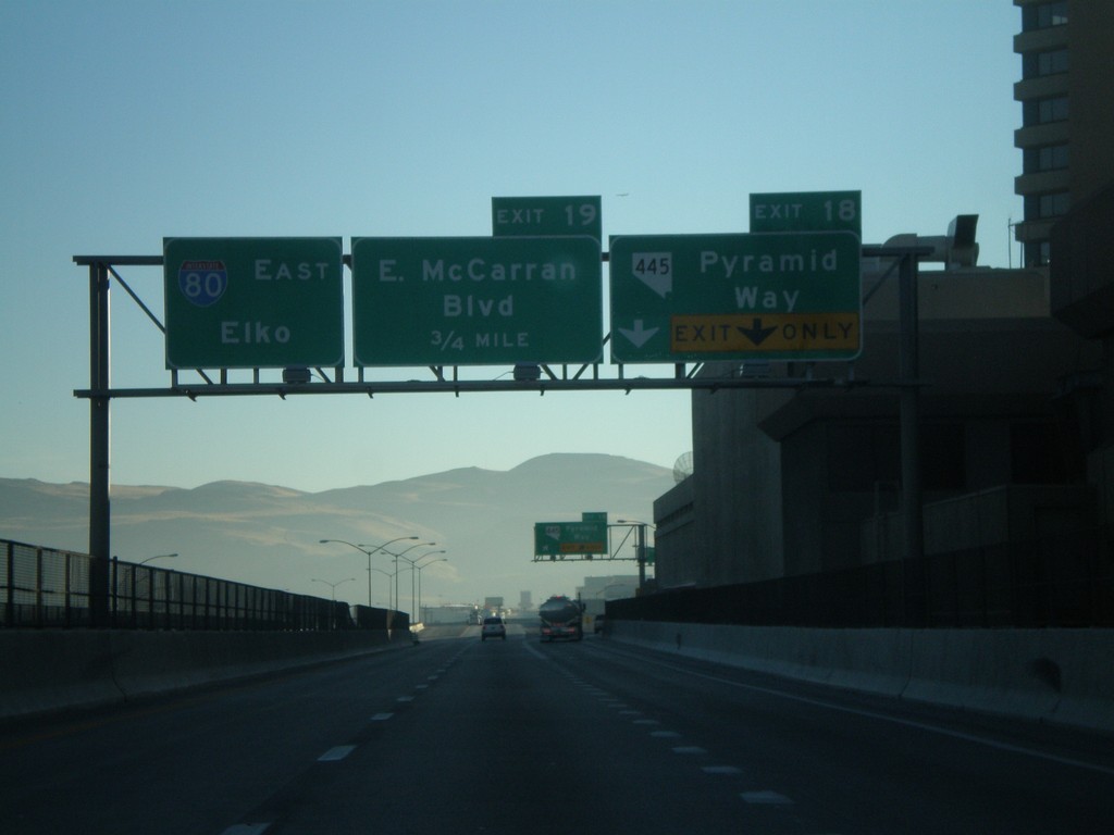
I-80 East Exits 18 and 19
I-80 east approaching Exits 18 and 19. Exit 18 - NV-445/Pyramid Way and Exit 19 - East McCarran Blvd.
Taken 11-24-2007
Sparks
Washoe County
Nevada
United States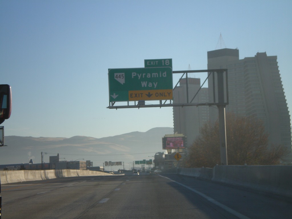
I-80 East Exit 18
I-80 east approaching Exit 18 - NV-445/Pyramid Way
Taken 11-24-2007
Sparks
Washoe County
Nevada
United States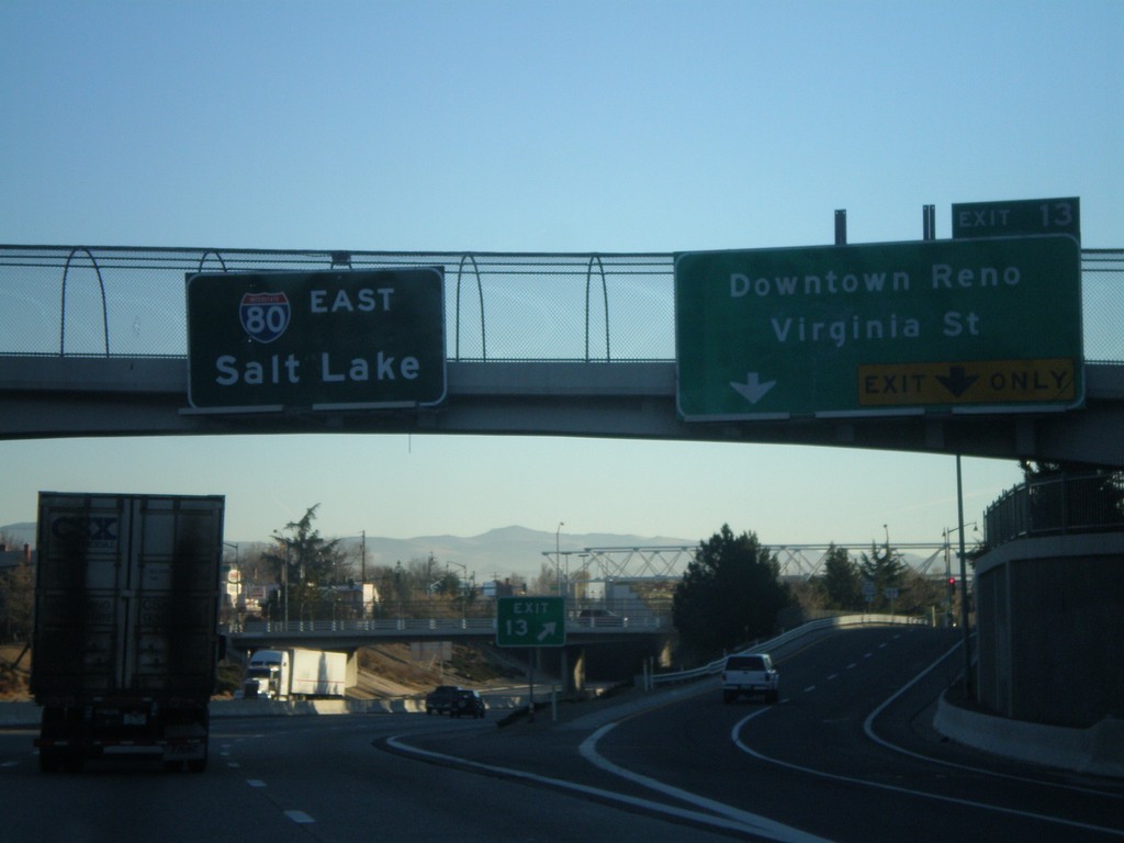
I-80 East Exit 13
I-80 east at Exit 13 - Downtown Reno/Virginia St. Virginia St. leads south to the Reno equivalent of the Las Vegas Strip. Overhead of I-80 East to Salt Lake
Taken 11-24-2007
Reno
Washoe County
Nevada
United States
I-80 East Exits 13 and 14
I-80 east approaching Exits 13 and 14. Exit 13 - Downtown Reno/Virginia St., and Exit 14 - Wells Ave.
Taken 11-24-2007
Reno
Washoe County
Nevada
United States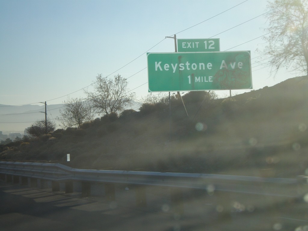
I-80 East Exit 12
I-80 east approaching Exit 12 - Keystone Ave.
Taken 11-24-2007
Reno
Washoe County
Nevada
United States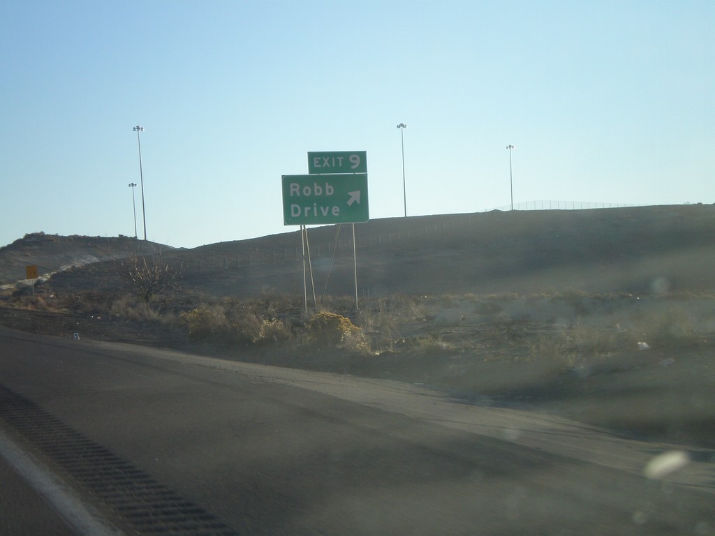
I-80 East Exit 9
I-80 east at Exit 9 - Robb Drive
Taken 11-24-2007
Reno
Washoe County
Nevada
United States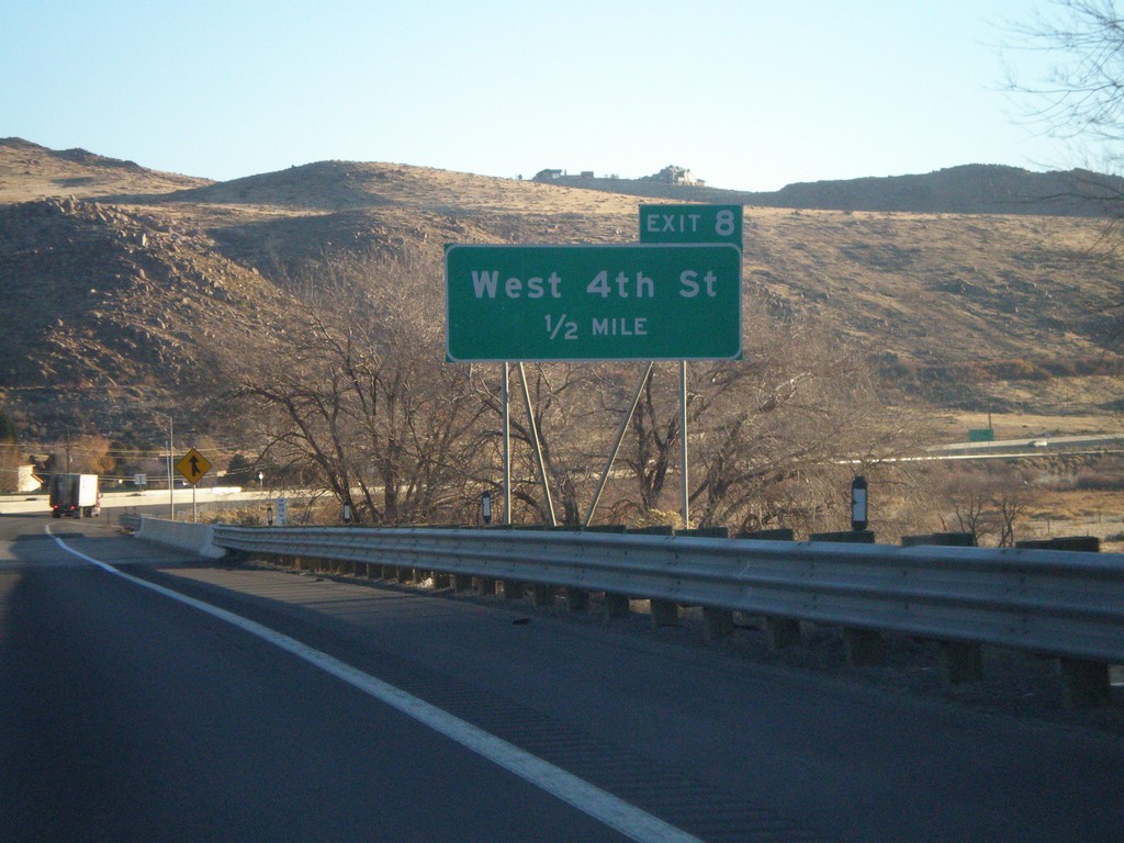
I-80 East Exit 8
I-80 east approaching Exit 8 - West 4th St.
Taken 11-24-2007
Mogul
Washoe County
Nevada
United States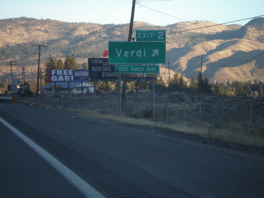
I-80 East Exit 2
I-80 east at Exit 2 - Verdi. First Nevada exit on I-80 east.
Taken 11-24-2007
Verdi
Washoe County
Nevada
United States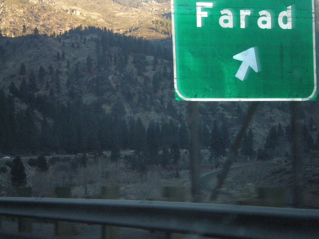
I-80 East Exit 201
I-80 east at Exit 201 - Farad. Farad is the last California exit on I-80.
Taken 11-24-2007
Floriston
Nevada County
California
United States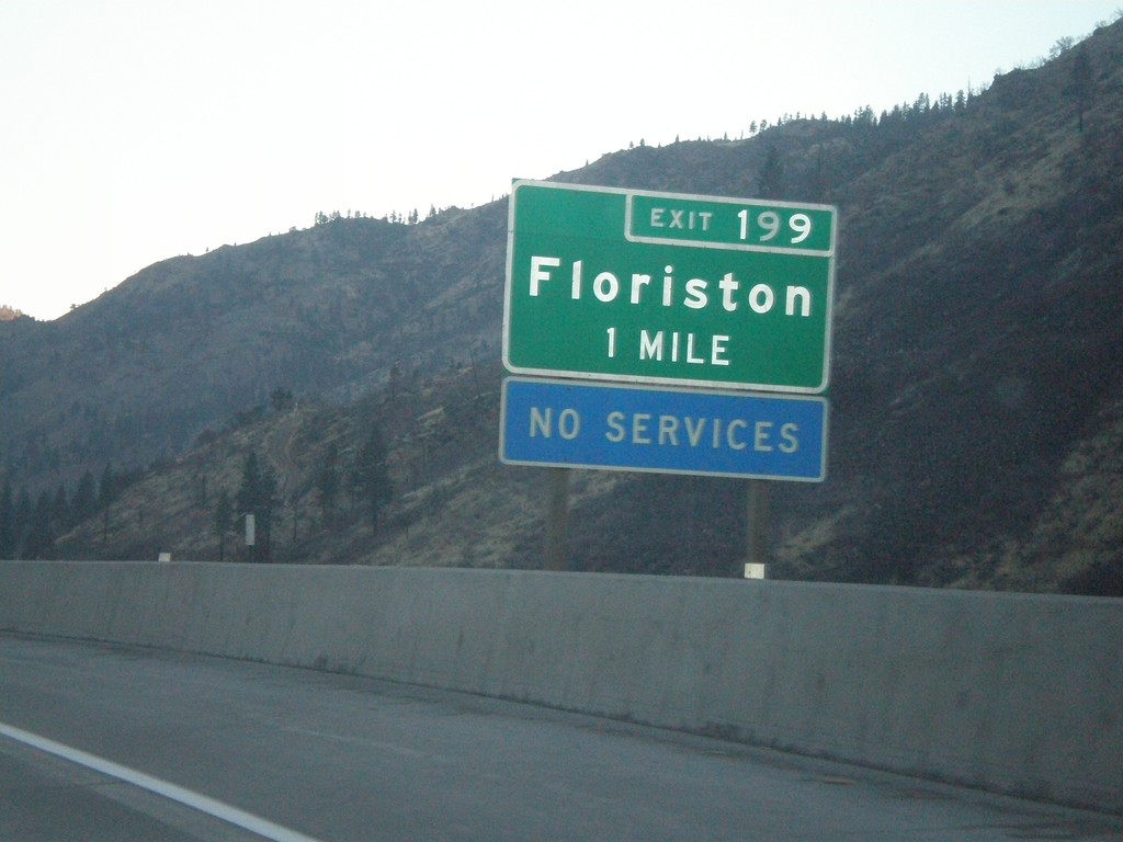
I-80 East Exit 199
I-80 east approaching Exit 199 - Floriston
Taken 11-24-2007
Floriston
Nevada County
California
United States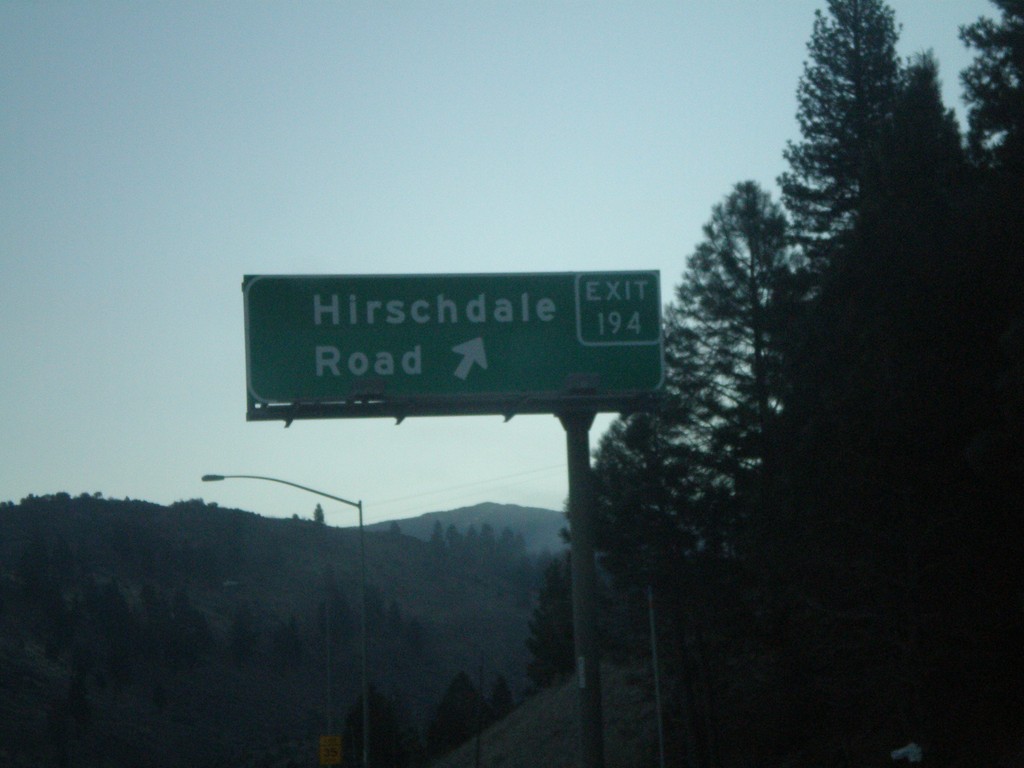
I-80 East Exit 194
I-80 east at Exit 194 - Hirshdale Road
Taken 11-24-2007
Truckee
Nevada County
California
United States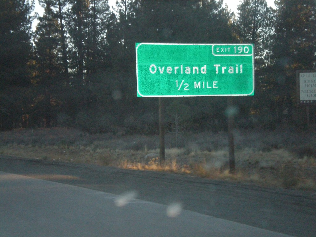
I-80 East Exit 190
I-80 east approaching Exit 190 - Overland Trail
Taken 11-24-2007
Truckee
Nevada County
California
United States