Signs Tagged With Freeway Junction
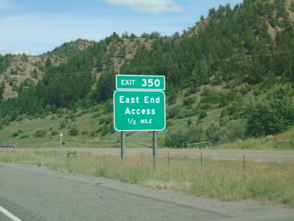
I-90 East - Exit 350
I-90 east approaching Exit 350 - East End Access.
Taken 06-28-2025

 Livingston
Park County
Montana
United States
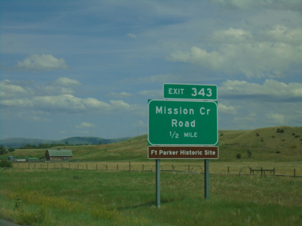
I-90 East - Exit 343
I-90 east approaching Exit 343 - Mission Creek Road.
Taken 06-28-2025

 Livingston
Park County
Montana
United States
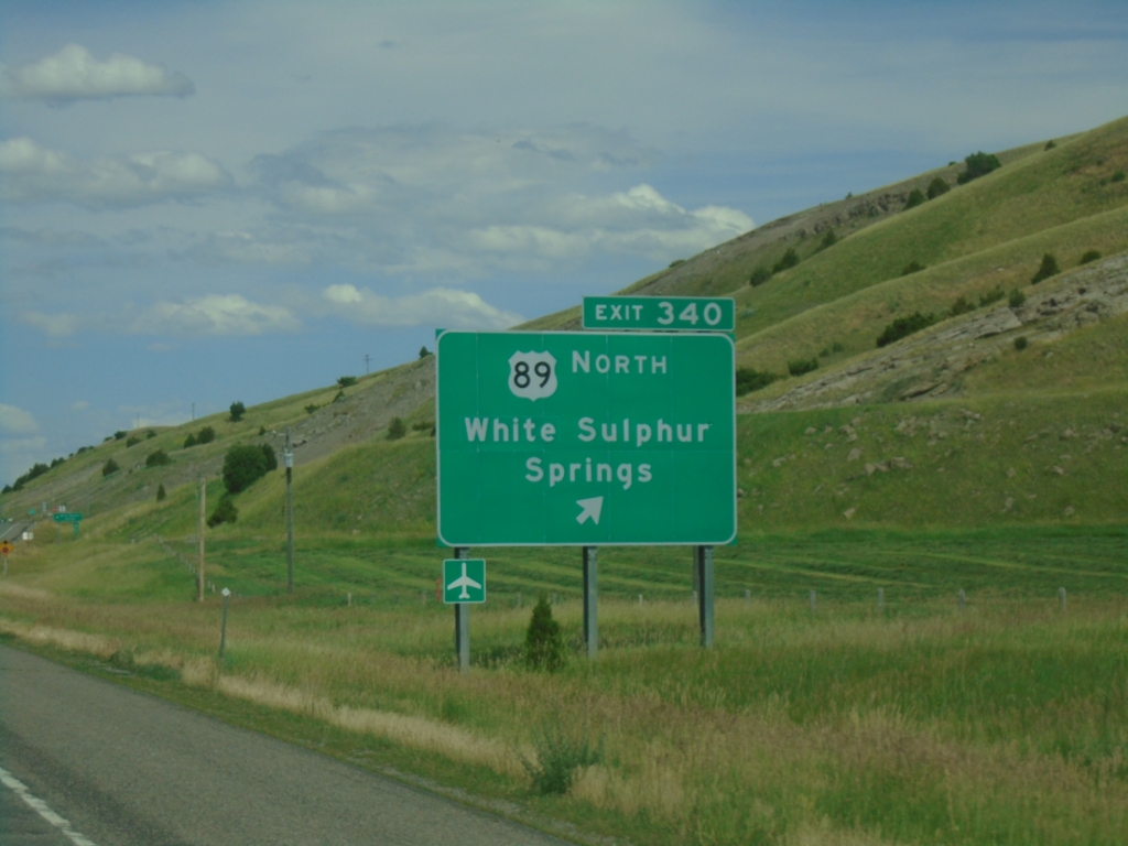
I-90 East - Exit 340
I-90 east at Exit 340 - US-89 North/White Sulphur Springs. US-89 leaves I-90/US-191 here.
Taken 06-28-2025


 Livingston
Park County
Montana
United States
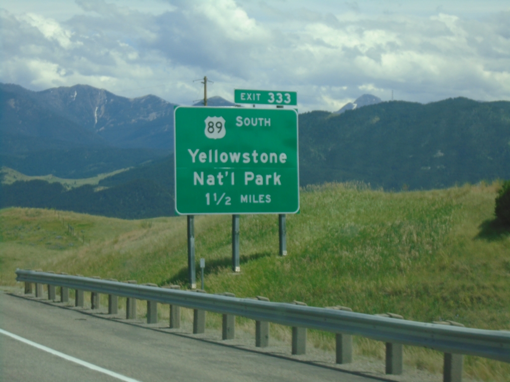
I-90 East - Exit 333
I-90 east approaching Exit 333 - US-89 South/Yellowstone National Park. Use US-89 south for the North Entrance to Yellowstone National Park at Gardiner Montana. US-89 North joins I-90 East/US-191 North through Livingston.
Taken 06-28-2025


 Livingston
Park County
Montana
United States
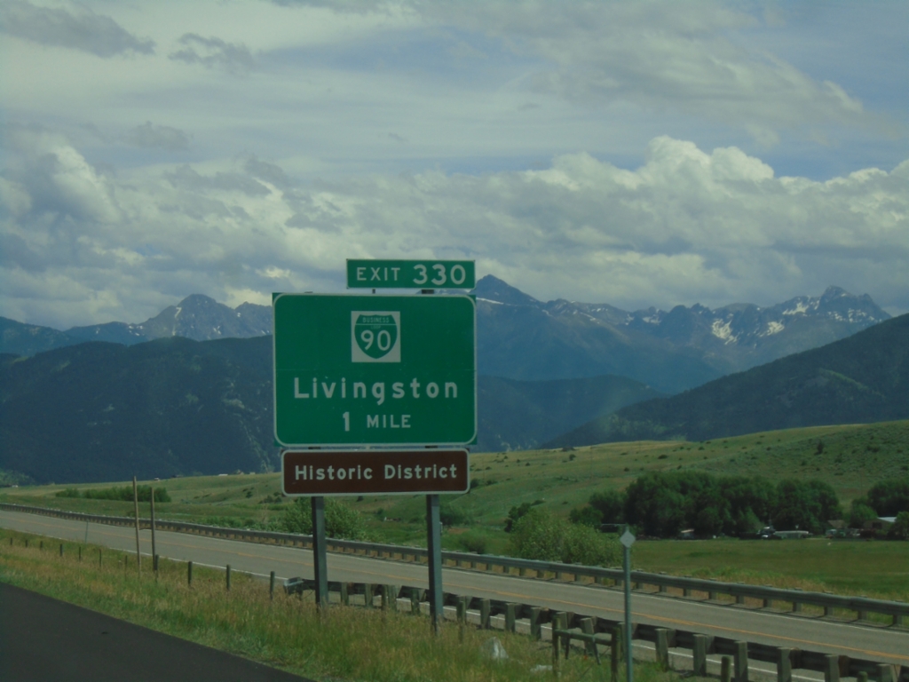
I-90 East - Exit 330
I-90 east approaching Exit 330 - BL-90/Livingston.
Taken 06-28-2025


 Livingston
Park County
Montana
United States
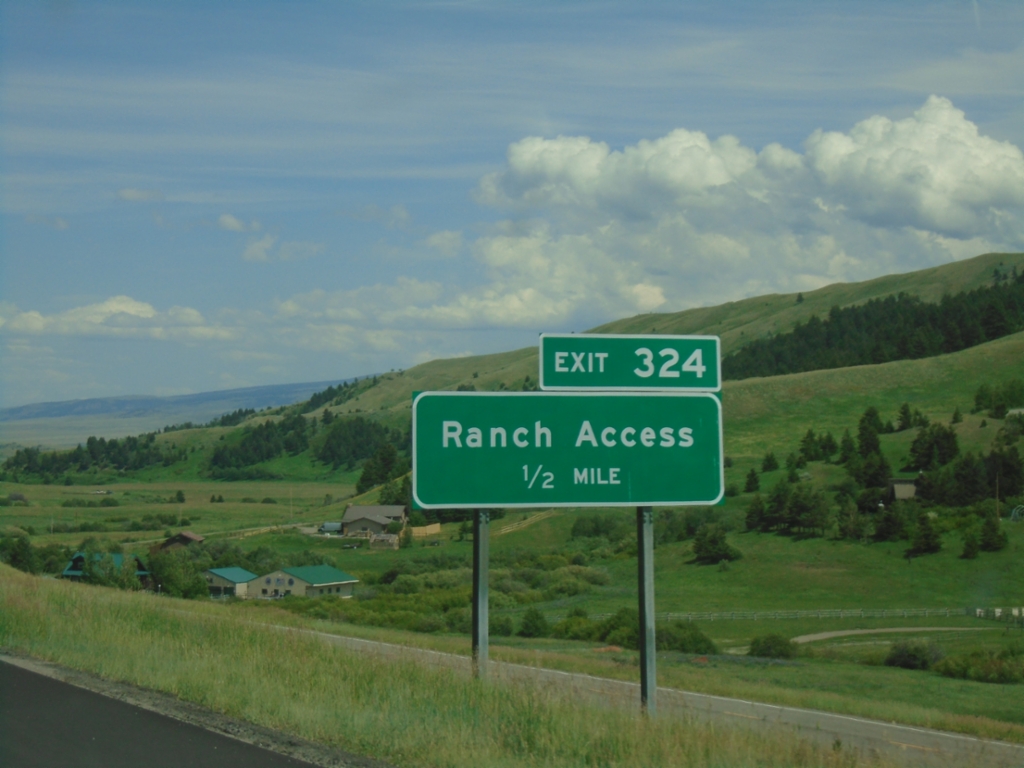
I-90 East - Exit 324
I-90 east approaching Exit 324 - Ranch Access.
Taken 06-28-2025

 Livingston
Park County
Montana
United States
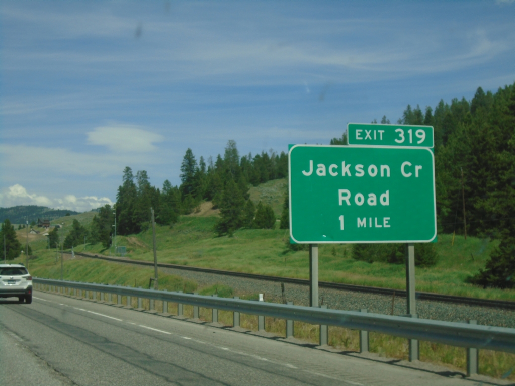
I-90 East - Exit 319
I-90 east approaching Exit 319 - Jackson Creek Road.
Taken 06-28-2025

 Bozeman
Gallatin County
Montana
United States
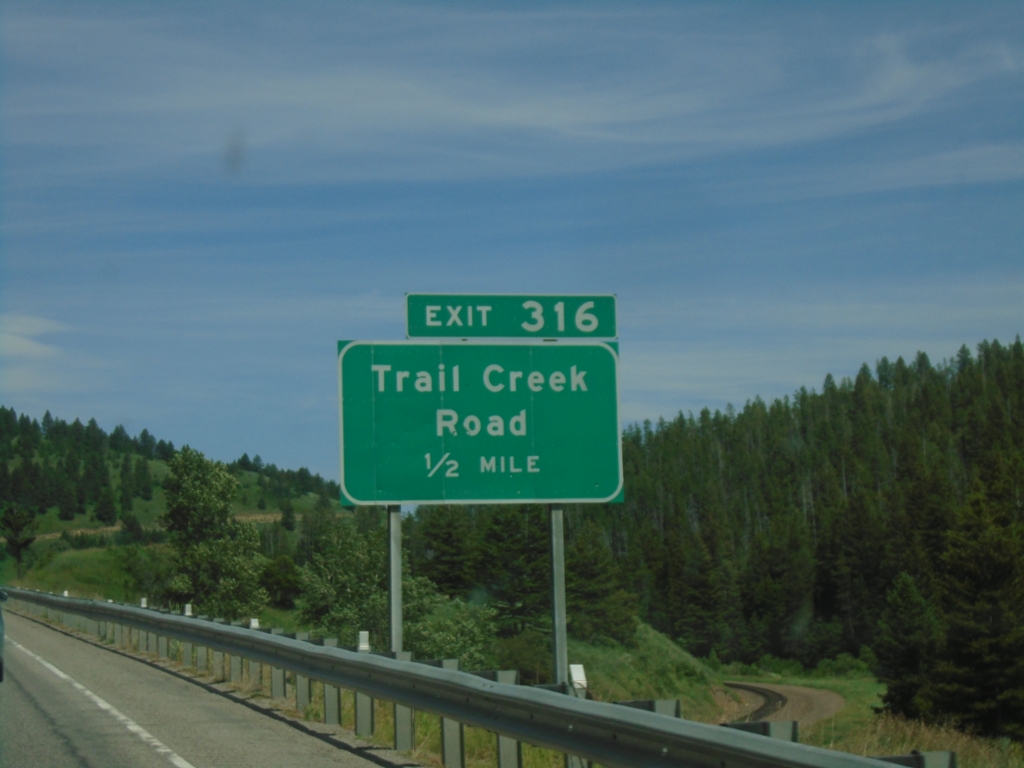
I-90 East - Exit 316
I-90 east approaching Exit 316 - Trail Creek Road.
Taken 06-28-2025

 Bozeman
Gallatin County
Montana
United States
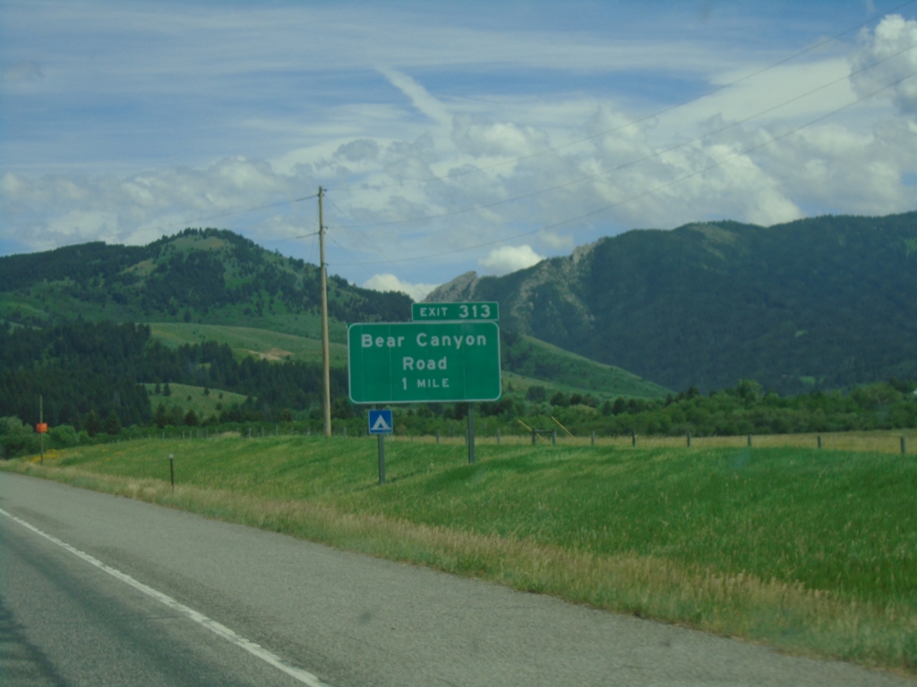
I-90 East - Exit 313
I-90 east approaching Exit 313 - Bear Canyon Road.
Taken 06-28-2025

 Bozeman
Gallatin County
Montana
United States
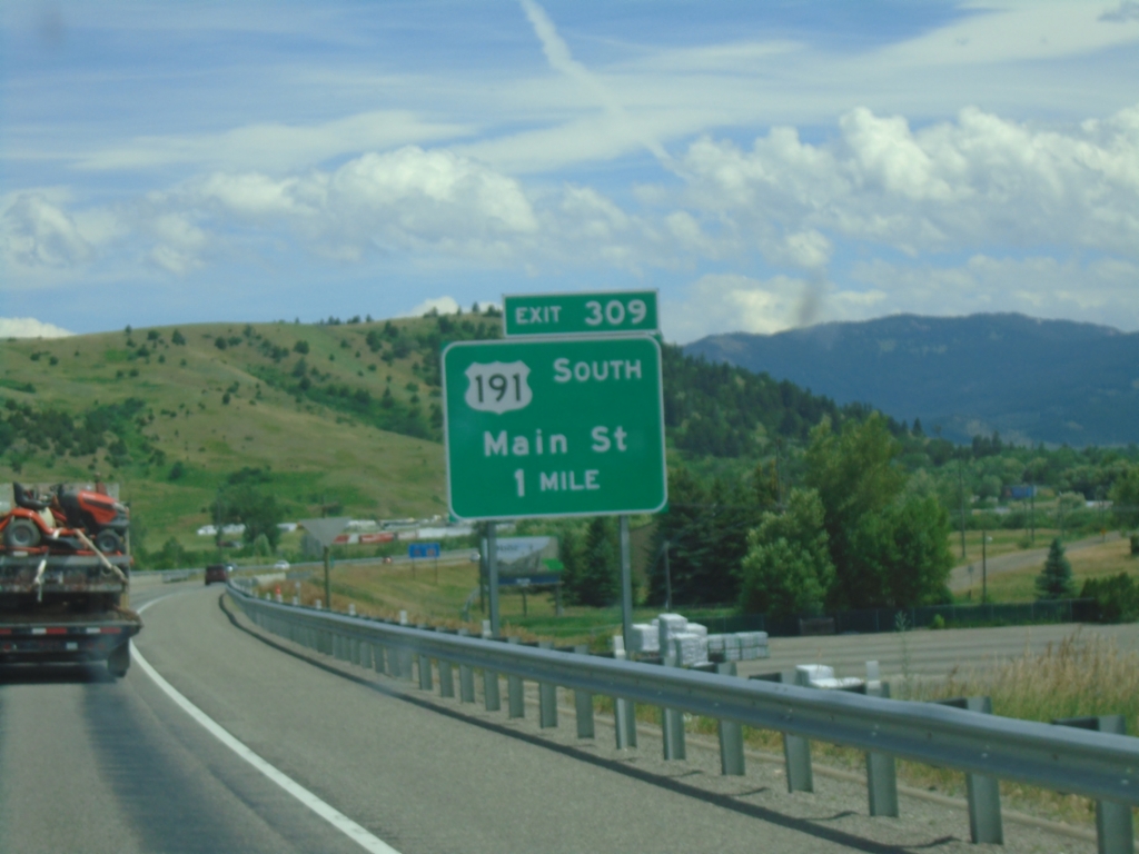
I-90 East - Exit 309
I-90 east approaching Exit 309 - US-191 South/Main St. This is the eastern end of the Bozeman business loop. US-191 joins I-90 eastbound to Big Timber.
Taken 06-28-2025


 Bozeman
Gallatin County
Montana
United States
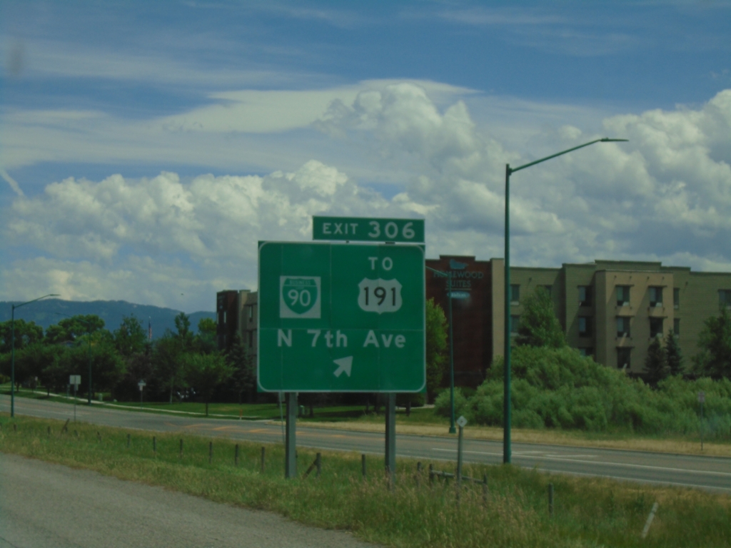
I-90 East - Exit 306
I-90 east at Exit 306 - BL-90/To US-191/N. 7th Ave.
Taken 06-28-2025


 Bozeman
Gallatin County
Montana
United States
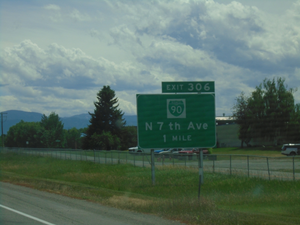
I-90 East - Exit 306
I-90 east approaching Exit 306 - BL-90/N. 7th Ave. This is the western end of the Bozeman business loop.
Taken 06-28-2025


 Bozeman
Gallatin County
Montana
United States
I-90 East - Exit 305
I-90 east at Exit 305 - MTS-412/N 19th Ave./Springhill Road.
Taken 06-28-2025

 Bozeman
Gallatin County
Montana
United States
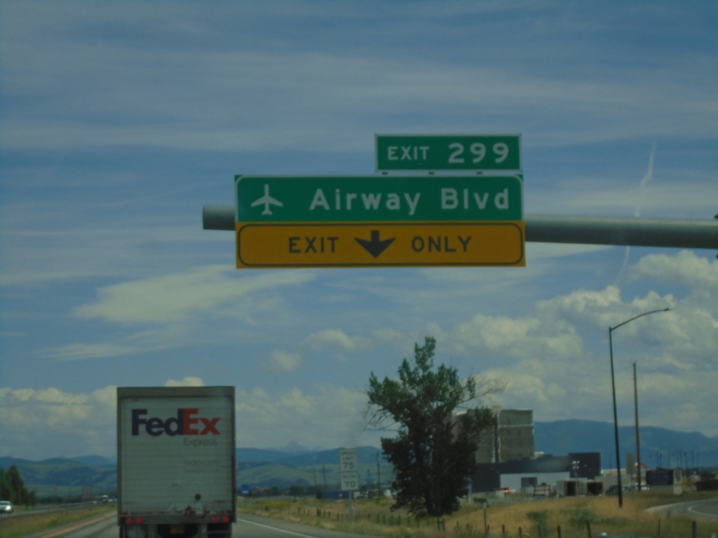
I-90 East - Exit 299
I-90 east at Exit 299 - Airway Blvd. Use Exit 299 for access to Bozeman Yellowstone International Airport (BZN).
Taken 06-28-2025
 Belgrade
Gallatin County
Montana
United States
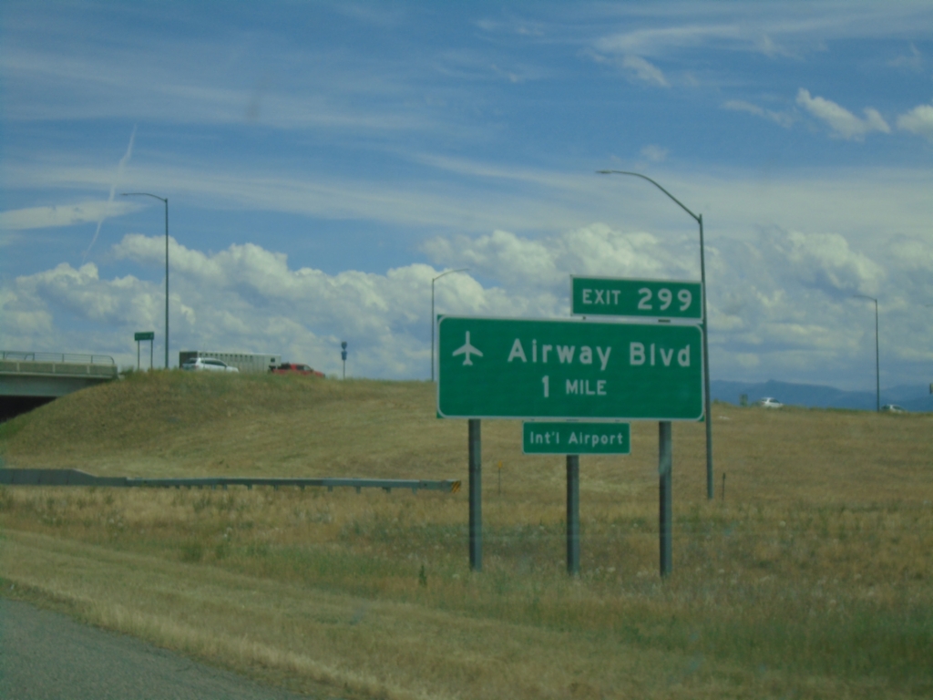
I-90 East - Exit 299
I-90 east approaching Exit 299 - Airway Blvd. in Belgrade. Use Exit 299 for access to Bozeman Yellowstone International Airport.
Taken 06-28-2025
 Belgrade
Gallatin County
Montana
United States
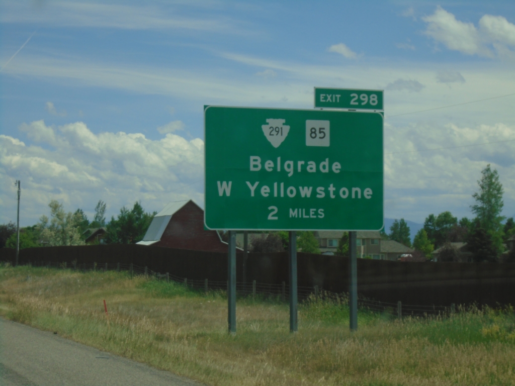
I-90 East - Exit 298
I-90 east approaching Exit 298 - MTS-291/MT-85/Belgrade/West Yellowstone.
Taken 06-28-2025


 Belgrade
Gallatin County
Montana
United States
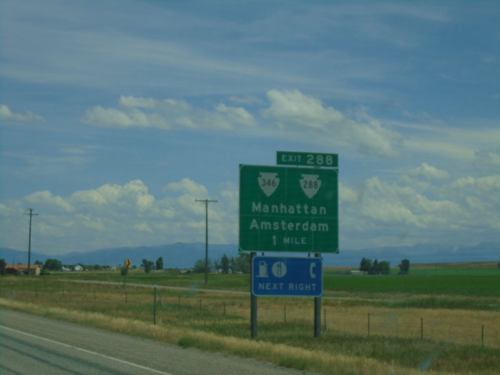
I-90 East - Exit 288
I-90 east approaching Exit 288 - MTS-288/MTS-346/Manhattan/Amsterdam.
Taken 06-28-2025


 Manhattan
Gallatin County
Montana
United States
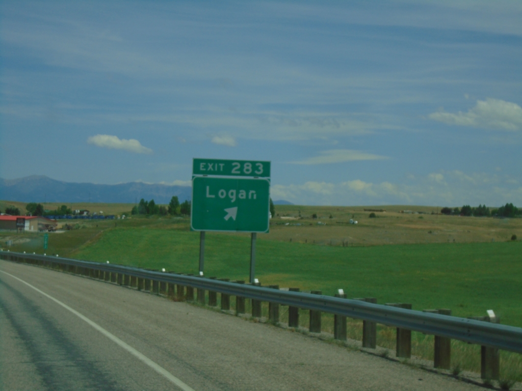
I-90 East - Exit 283
I-90 east at Exit 283 - Logan
Taken 06-28-2025
 Three Forks
Gallatin County
Montana
United States
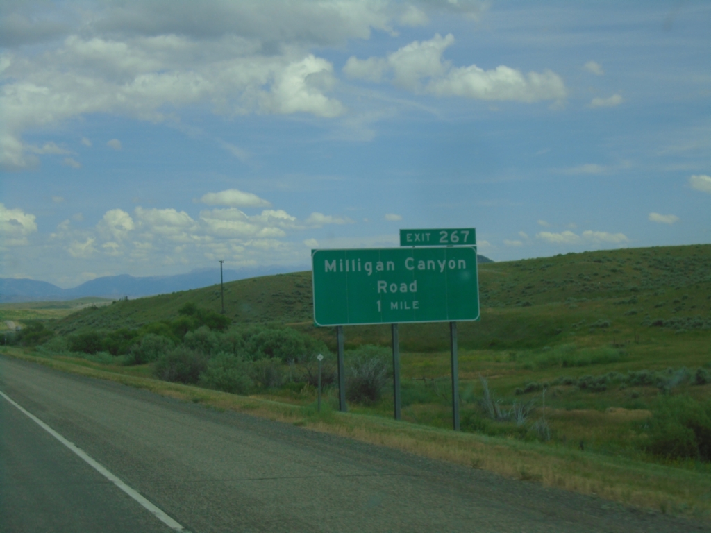
I-90 East - Exit 267
I-90 east approaching Exit 267 - Milligan Canyon Road.
Taken 06-28-2025
 Cardwell
Jefferson County
Montana
United States
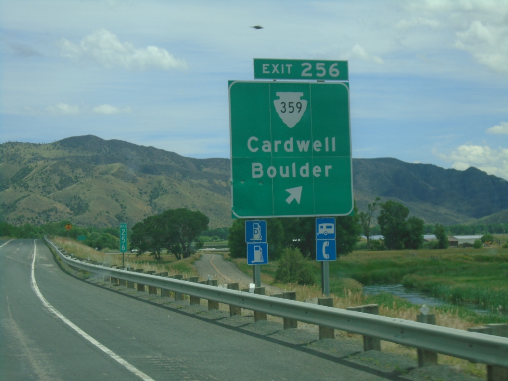
I-90 East - Exit 256
I-90 east at Exit 256 - MTS-359/Cardwell/Boulder.
Taken 06-28-2025

 Whitehall
Jefferson County
Montana
United States
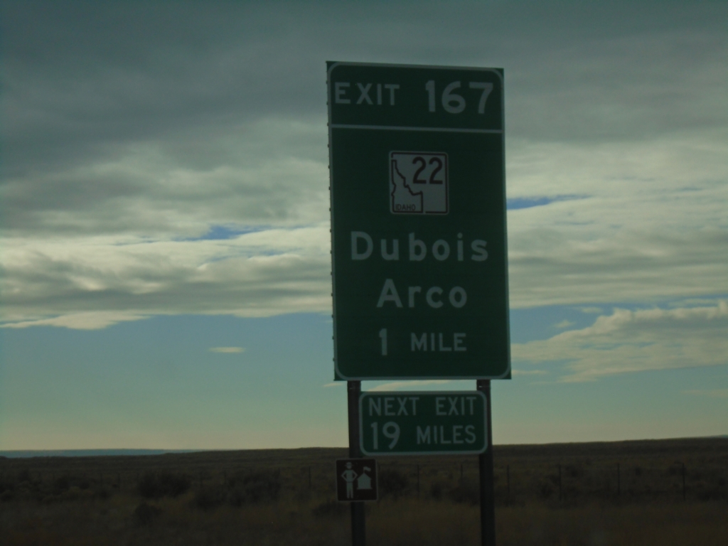
I-15 South - Exit 167
I-15 South approaching Exit 167 - ID-22/Dubois/Arco. Next Exit 19 Miles.
Taken 12-01-2024

 Dubois
Clark County
Idaho
United States
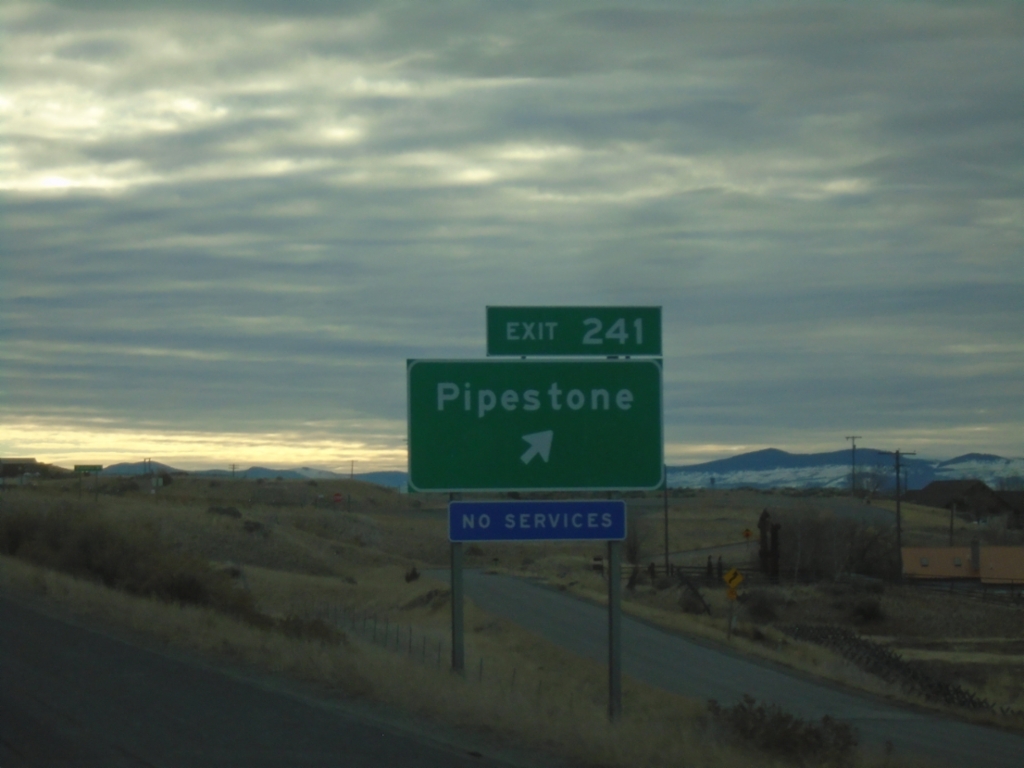
I-90 East - Exit 241
I-90 east at Exit 241 - Pipestone.
Taken 12-01-2024
 Whitehall
Jefferson County
Montana
United States
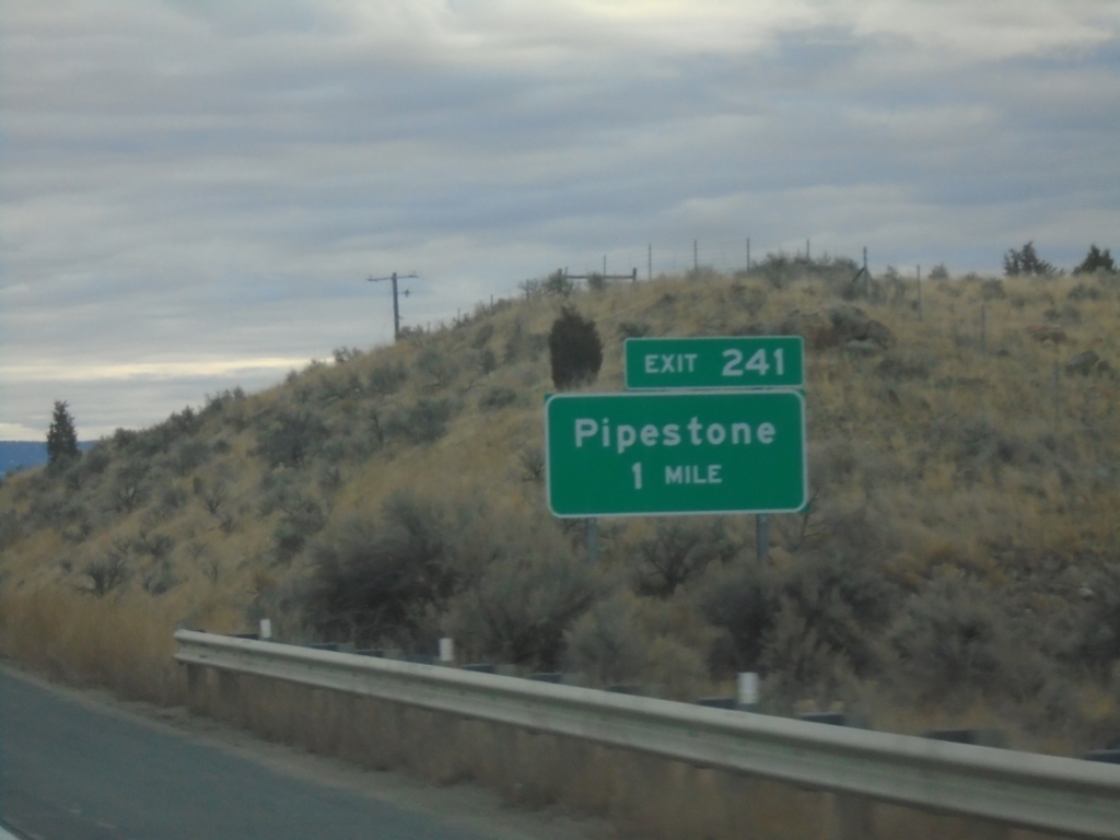
I-90 East - Exit 241
I-90 east approaching Exit 241 - Pipestone.
Taken 12-01-2024
 Whitehall
Jefferson County
Montana
United States
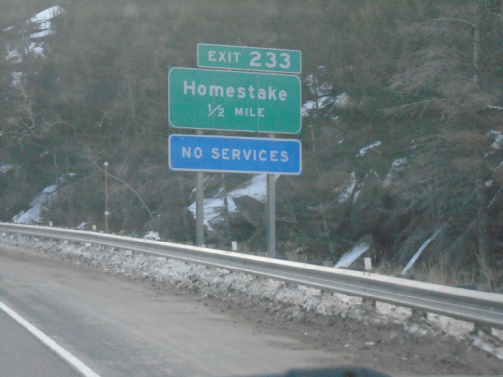
I-90 East - Exit 233
I-90 east approaching Exit 233 - Homestake. The Homestake interchange is at Homestake Pass on the Continental Divide.
Taken 12-01-2024
 Butte
Silver Bow County
Montana
United States
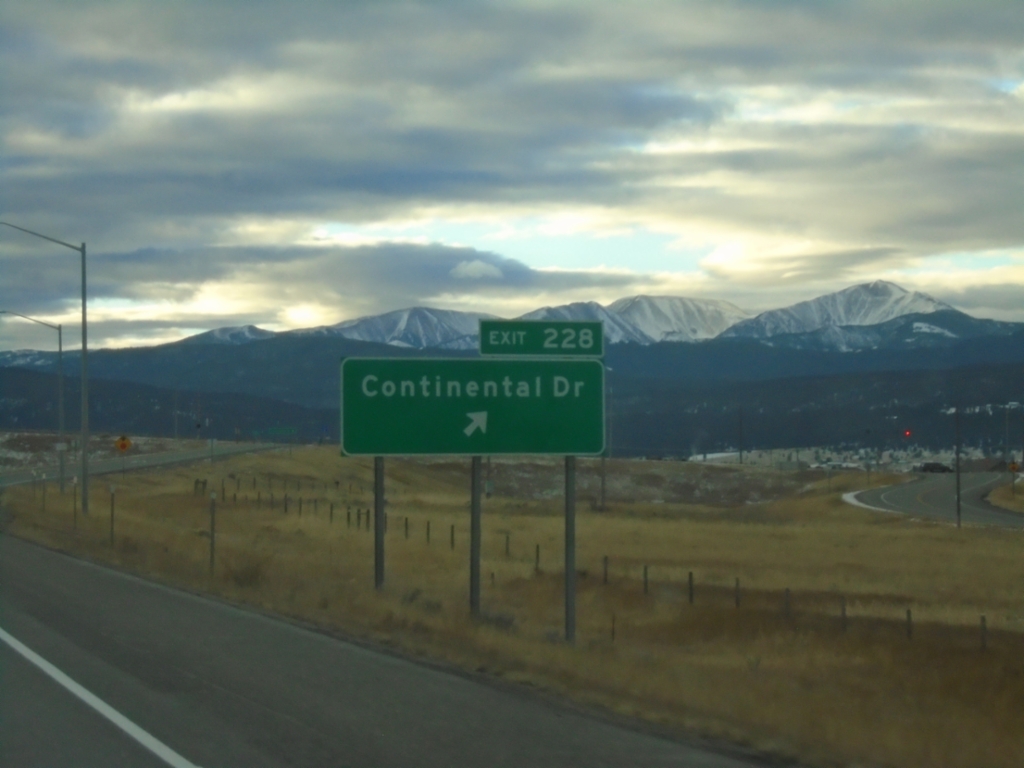
I-90 East - Exit 228
I-90 east at Exit 228 - Continental Drive.
Taken 12-01-2024
 Butte
Silver Bow County
Montana
United States