Signs Tagged With Freeway Junction
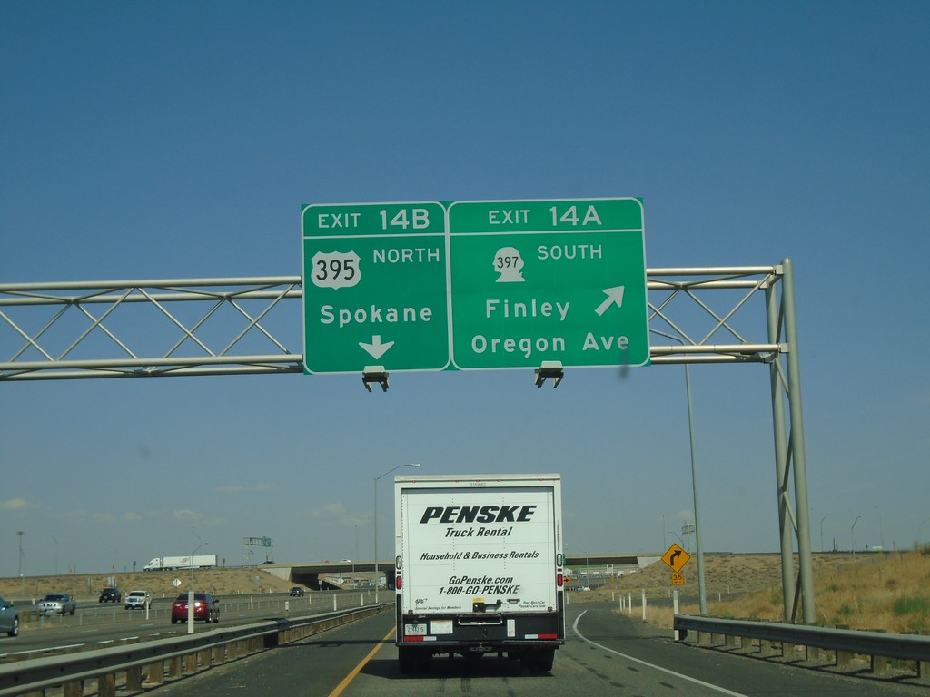
I-182 East/US-12 East - Exits 14A and 14B
I-182 East/US-12 East at Exit 14A - WA-397 South/Finley/Oregon Ave. Exit 14B - US-395 North/Spokane. US-395 northbound leaves I-182/US-12 eastbound here.
Taken 08-04-2018


 Pasco
Franklin County
Washington
United States
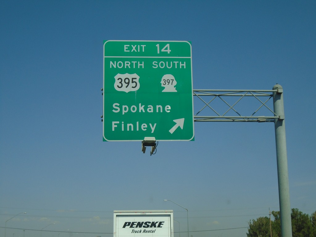
I-182 East - Exit 14
I-182/US-12 East/US-395 North - Exit 14 - US-395 North/WA-397 South/Spokane/Finley. US-395 north leaves I-182/US-12 eastbound here.
Taken 08-04-2018


 Pasco
Franklin County
Washington
United States
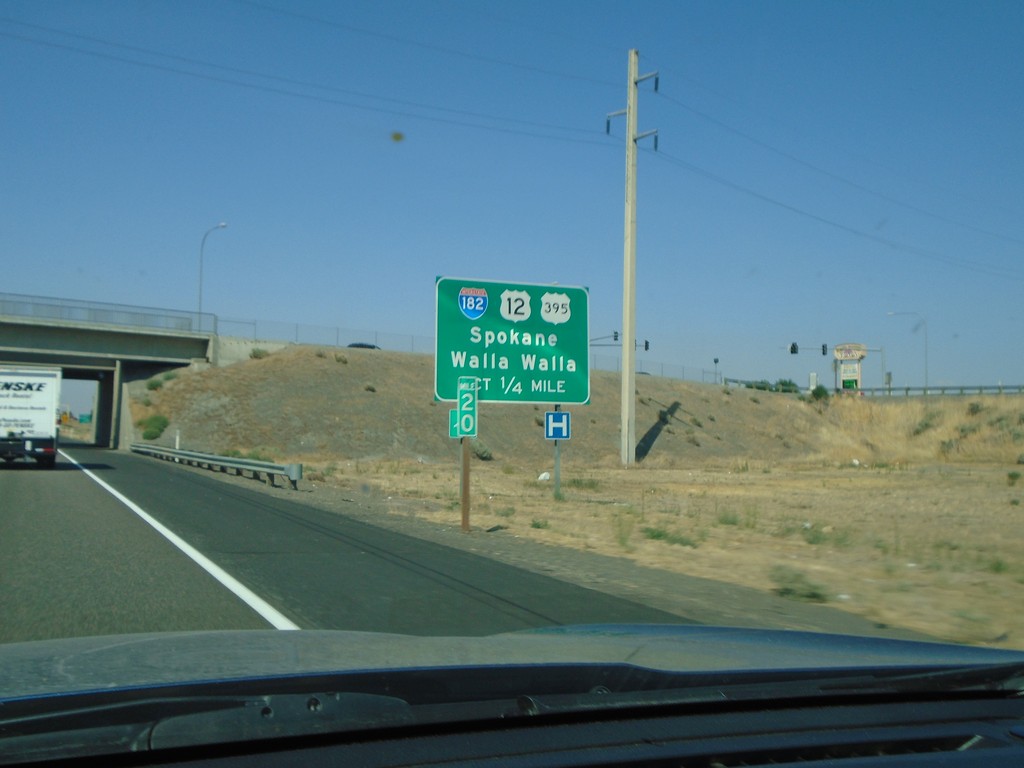
US-395 North Approaching I-182/US-12
US-395 North approaching I-182 (West)/US-12 (West) to Spokane and Walla Walla. US-395 north joins US-12 and I-182 west briefly through Pasco.
Taken 08-04-2018


 Pasco
Franklin County
Washington
United States
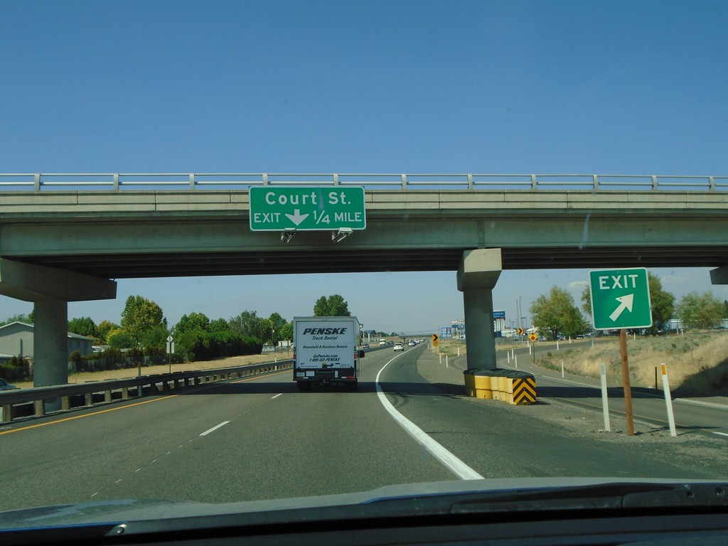
US-395 North - Court St.
US-395 north approaching Court St. in Pasco.
Taken 08-04-2018
 Pasco
Franklin County
Washington
United States
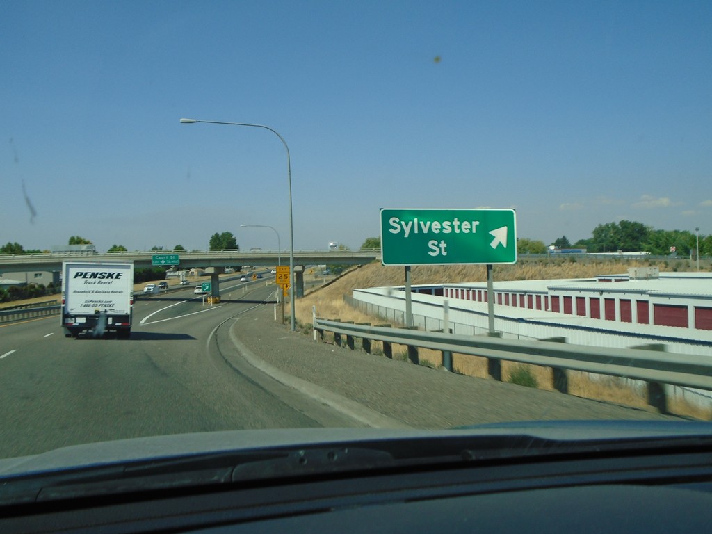
US-395 North - Sylvester St.
US-395 North at Sylvester St. interchange in Pasco.
Taken 08-04-2018
 Pasco
Franklin County
Washington
United States
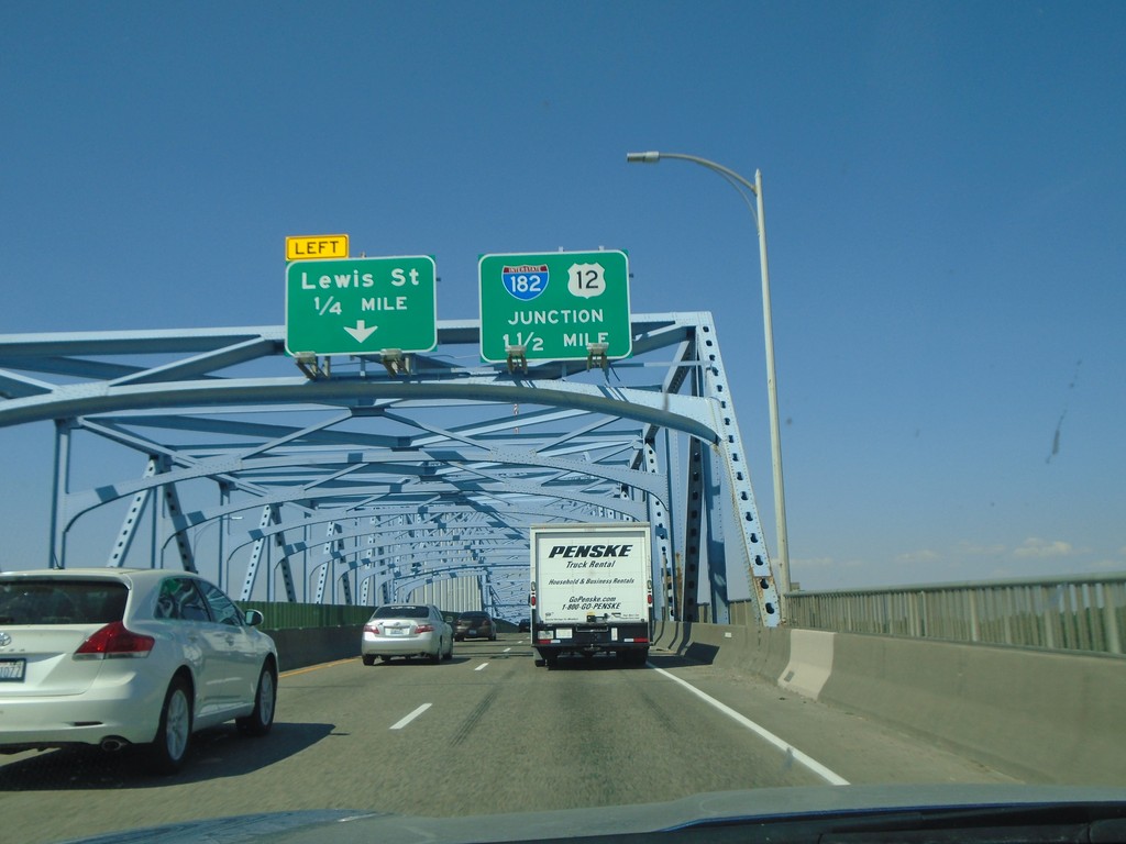
US-395 North - Blue Bridge
Crossing the Blue Bridge over the Columbia River on US-395 north from Kennewick to Pasco Washington. Approaching left exit to Lewis St. Also approaching US-12 and I-182.
Taken 08-04-2018


 Kennewick
Benton County
Washington
United States
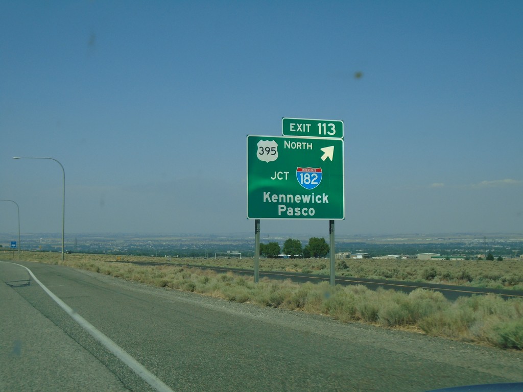
I-82 West - Exit 113
I-82 west at Exit 113 - US-395 North/Jct I-182/Kennewick/Pasco. US-395 leaves I-82 westbound.
Taken 08-04-2018


 Kennewick
Benton County
Washington
United States
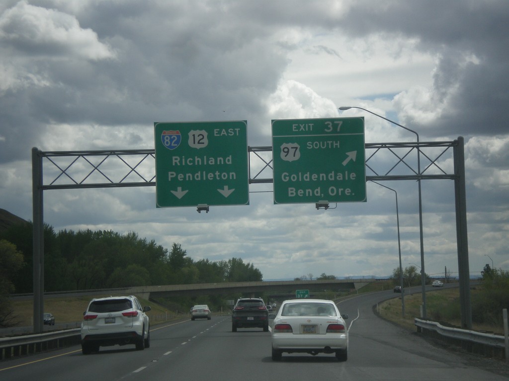
I-82 East - Exit 37
I-82 east at Exit 37 - US-97 South/Goldendale/Bend, Ore. US-97 joins I-82 west to I-90 near Ellensburg. I-82/US-12 East overhead to Richland and Pendleton (Oregon).
Taken 04-30-2018


 Yakima
 County
Washington
United States
Yakima
Yakima County
Washington
United States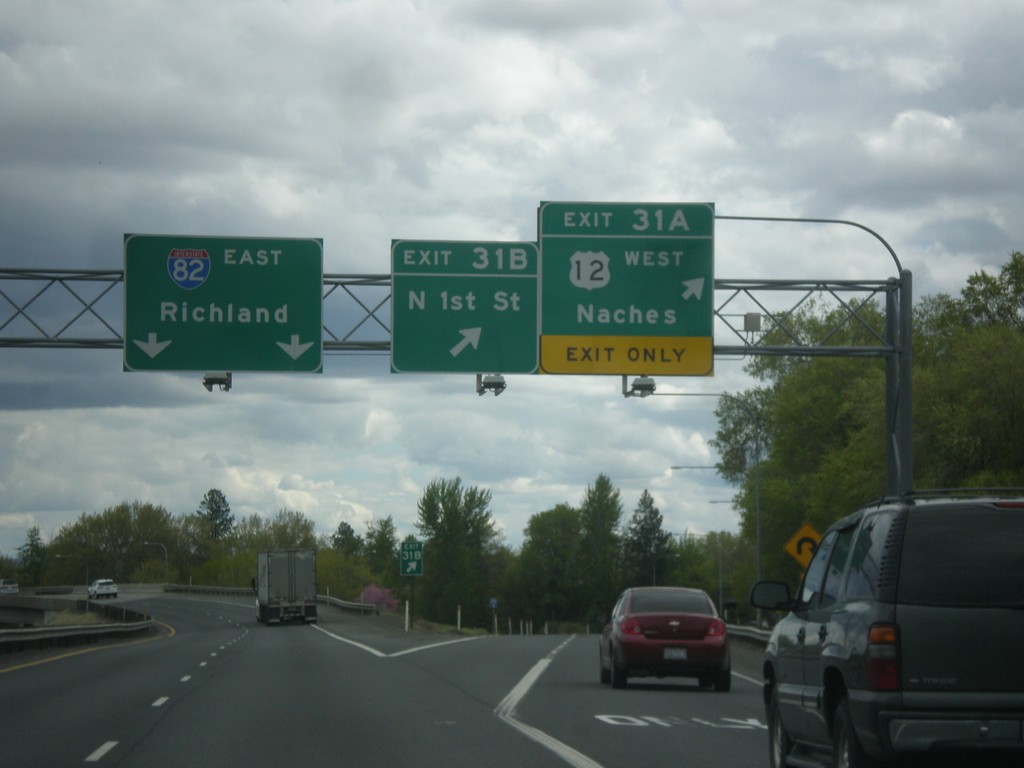
I-82 East - Exits 31A and 31B
I-82 east at Exits 31B - N 1st St. and Exit 31A - US-12 West/Naches. Continue east on I-82 for Richland. US-12 joins I-82 eastbound here to Richland.
Taken 04-30-2018


 Yakima
 County
Washington
United States
Yakima
Yakima County
Washington
United States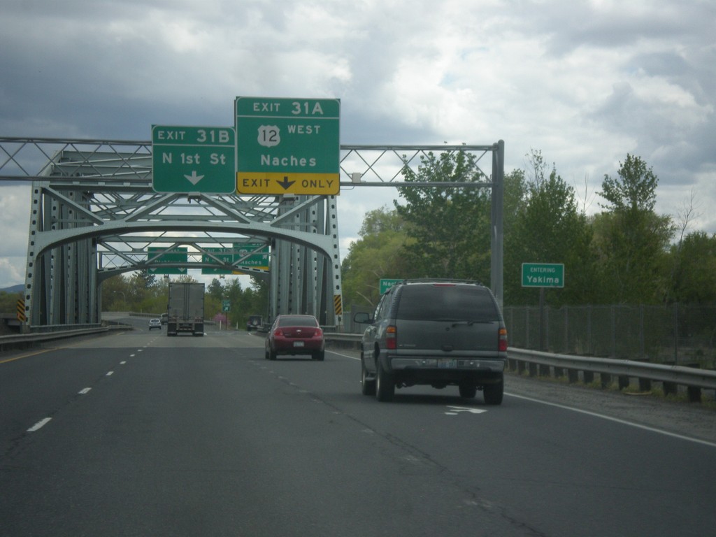
I-82 East - Exits 31B and 31A - Entering Yakima
Entering Yakima on I-82 east crossing the Yakima River bridge. Approaching Exit 31B - N 1st St. and Exit 31A - US-12 West/Naches.
Taken 04-30-2018


 Yakima
 County
Washington
United States
Yakima
Yakima County
Washington
United States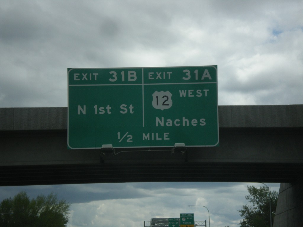
I-82 East - Exits 31B and 31A
I-82 east approaching Exit 31B - N 1st St. and approaching Exit 31A - US-12 West/Naches. US-12 joins I-82 eastbound to Richland.
Taken 04-30-2018


 Yakima
 County
Washington
United States
Yakima
Yakima County
Washington
United States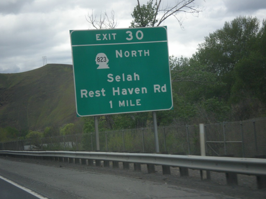
I-82 East - Exit 30
I-82 east approaching Exit 30 - WA-823 East/Rest Haven Road/Selah.
Taken 04-30-2018


 Yakima
 County
Washington
United States
Yakima
Yakima County
Washington
United States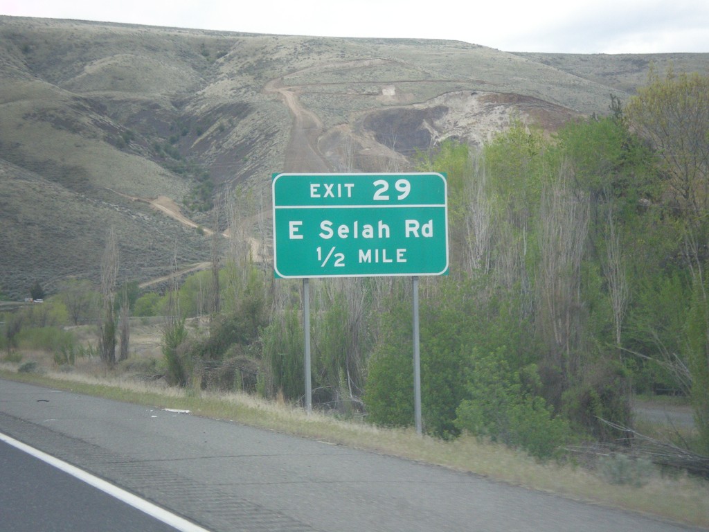
I-82 East - Exit 29
I-82 east approaching Exit 29 - East Selah Road.
Taken 04-30-2018

 Yakima
 County
Washington
United States
Yakima
Yakima County
Washington
United States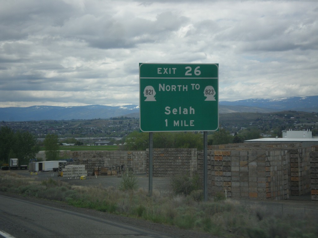
I-82 East - Exit 26
I-82 east approaching Exit 26 - WA-821 North/To WA-823/Selah.
Taken 04-30-2018


 Yakima
 County
Washington
United States
Yakima
Yakima County
Washington
United States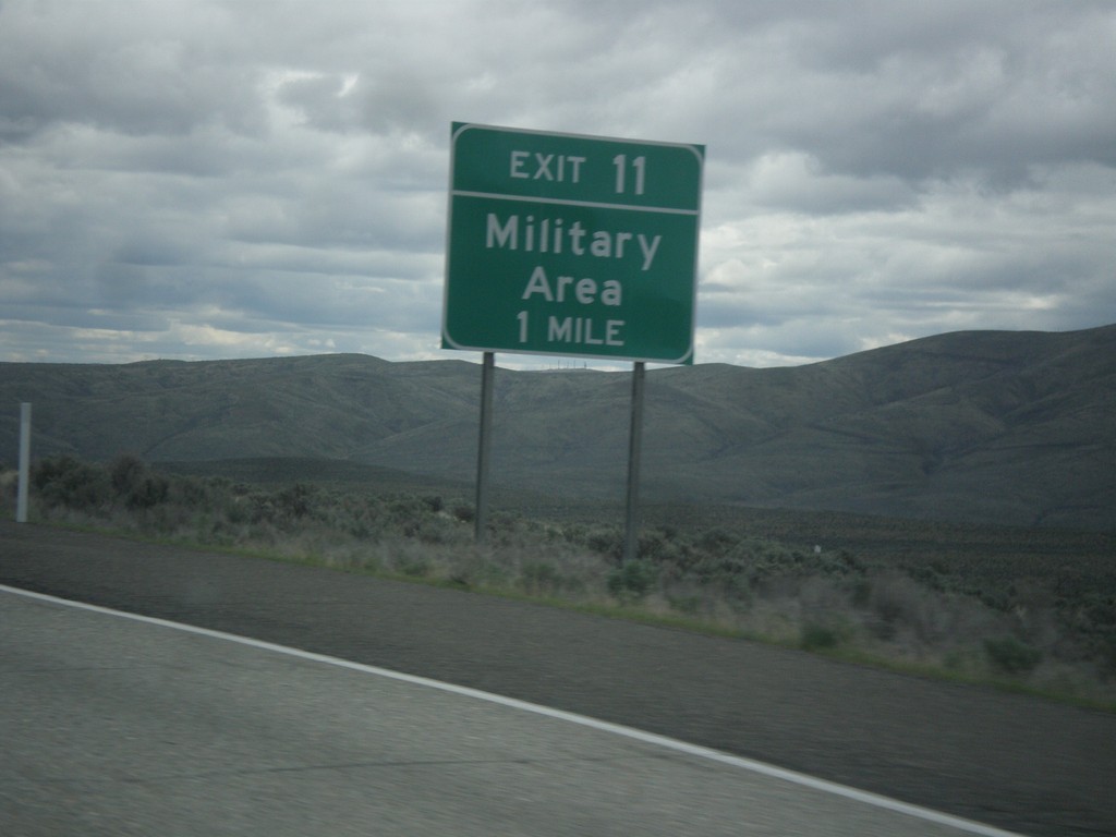
I-82 East - Exit 11
I-82 east approaching Exit 11 - Military Area.
Taken 04-30-2018

 Ellensburg
Kittitas County
Washington
United States
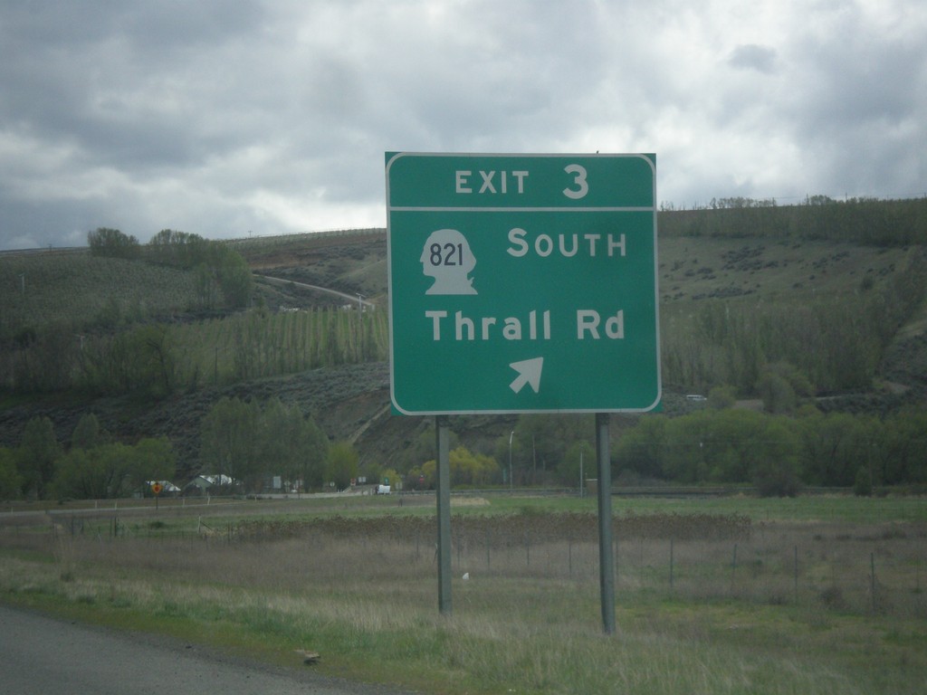
I-82 East - Exit 3
I-82 east at Exit 3 - WA-821 South/Thrall Road.
Taken 04-30-2018


 Ellensburg
Kittitas County
Washington
United States
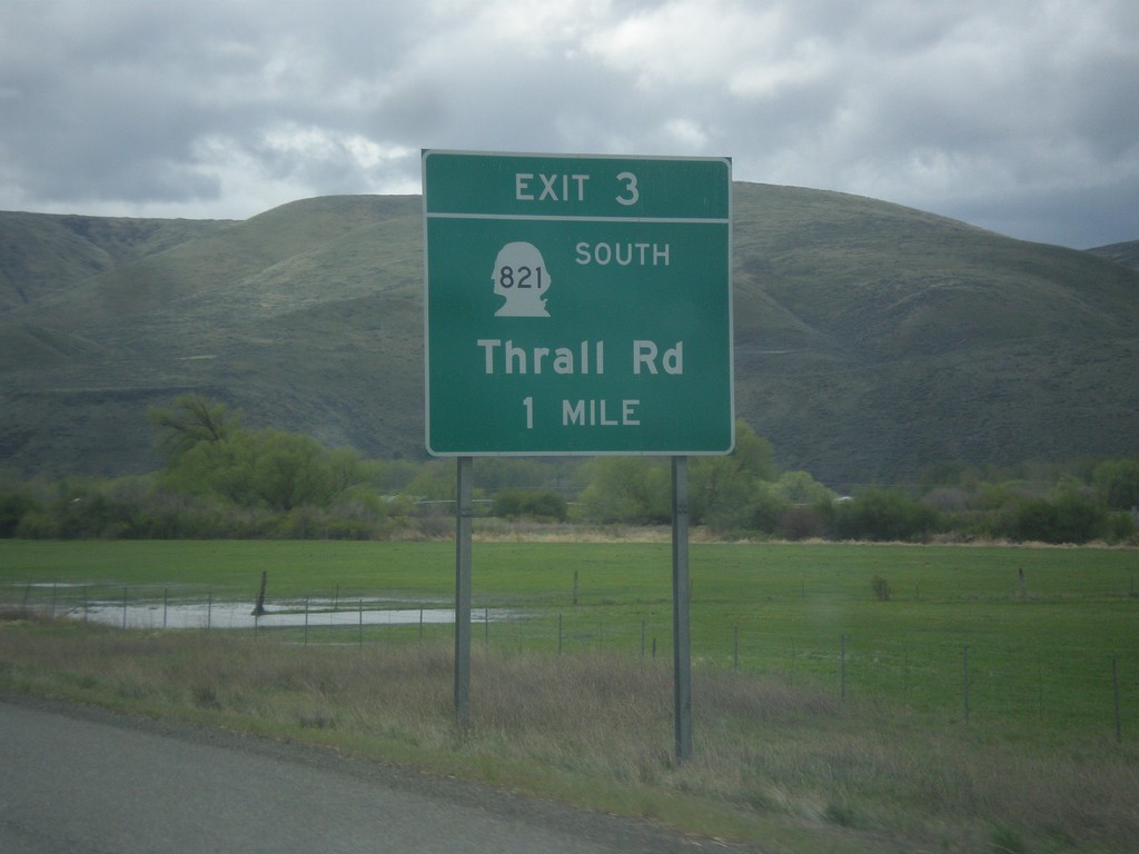
I-82 South - Exit 3
I-82 south approaching Exit 3 - WA-821 South/Thrall Road.
Taken 04-30-2018


 Ellensburg
Kittitas County
Washington
United States
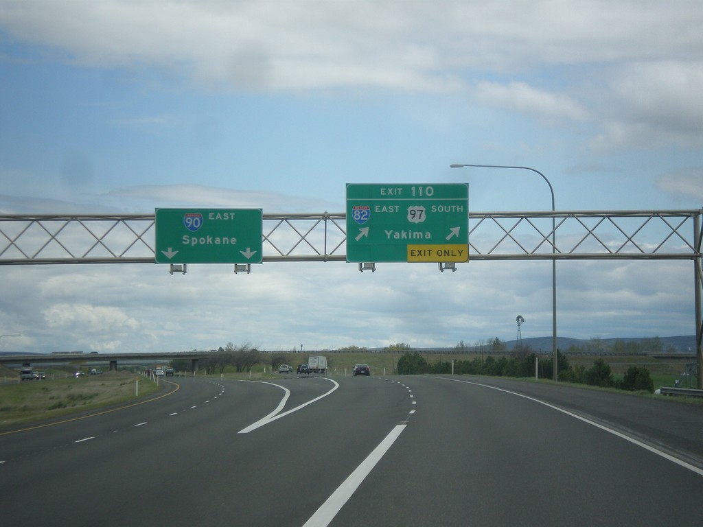
I-90 East - Exit 110
I-90 east at Exit 110 - I-82 East/US-97 South/Yakima. Continue east on I-90 for Spokane. US-97 south leaves I-90 eastbound here. This is the western end of I-82.
Taken 04-30-2018


 Ellensburg
Kittitas County
Washington
United States
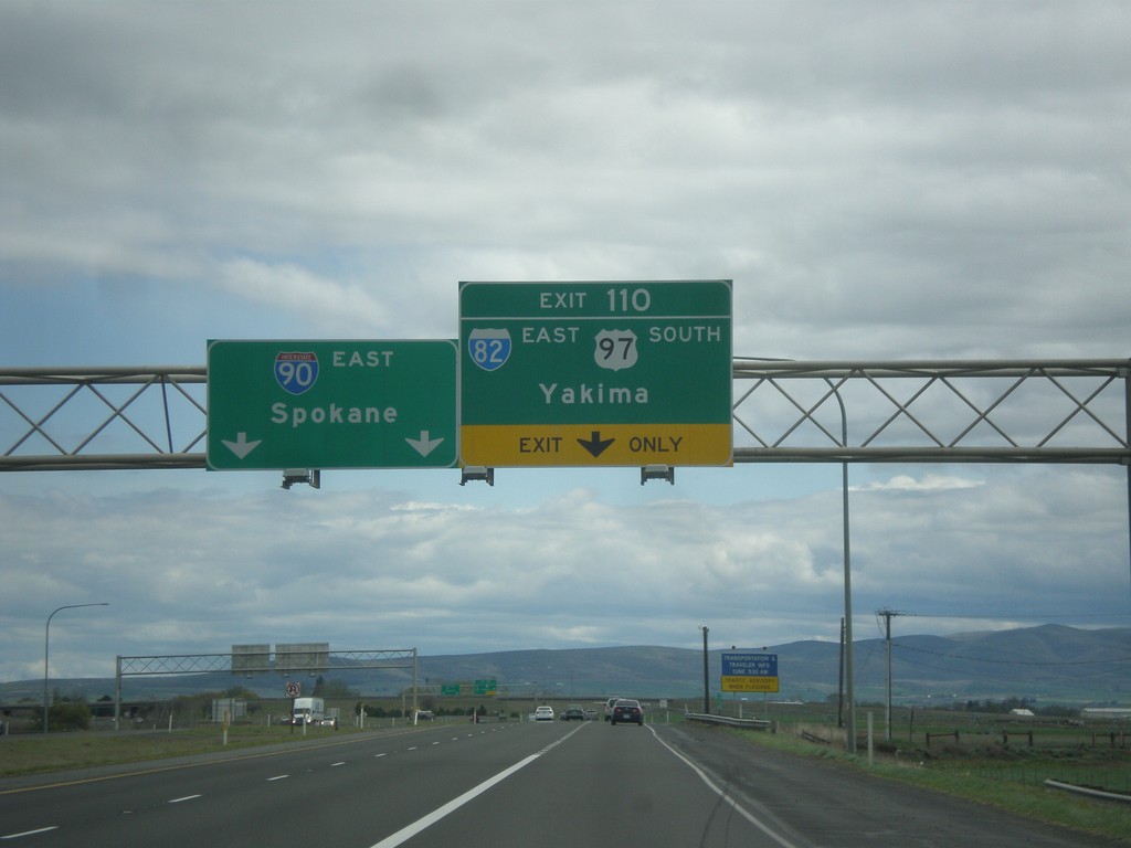
I-90 East - Exit 110
I-90 east approaching Exit 110 - I-82 East/US-97 South/Yakima. Continue east on I-90 for Spokane. US-97 south leaves I-90 eastbound here. This is the western end of I-82.
Taken 04-30-2018


 Ellensburg
Kittitas County
Washington
United States
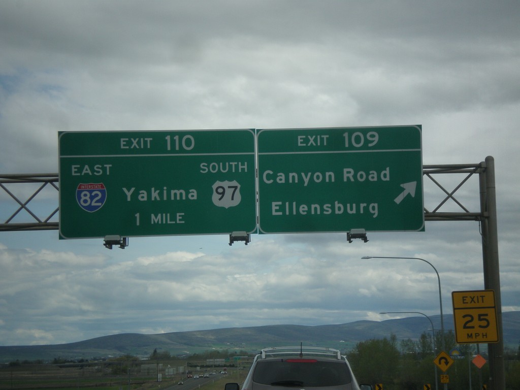
I-90 East - Exits 109 and 110
I-90 east at Exit 109 - Canyon Road/Ellensburg. Approaching Exit 110 - I-82 East/US-97 South/Yakima.
Taken 04-30-2018


 Ellensburg
Kittitas County
Washington
United States
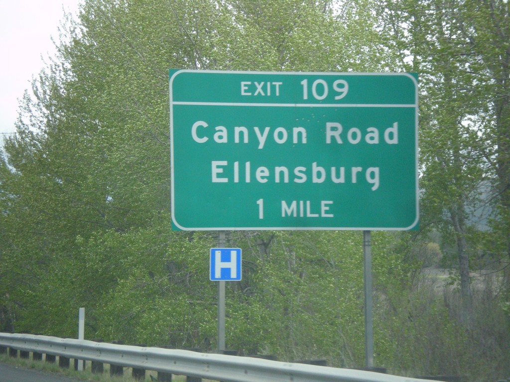
I-90 East - Exit 109
I-90 east approaching Exit 109 - Canyon Road/Ellensburg.
Taken 04-30-2018

 Ellensburg
Kittitas County
Washington
United States
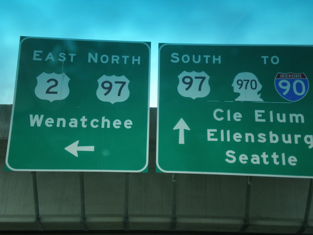
US-97 South at US-2/US-97 Jct.
US-97 South at US-2/US-97 Jct. Continue south for US-97/To I-90/To WA-970 to Cle Elum, Ellensburg, and Seattle. Turn left for US-2 East/US-97 North onramp to Wenatchee. US-97 south leaves US-2 westbound here.
Taken 04-30-2018

 Peshastin
Chelan County
Washington
United States
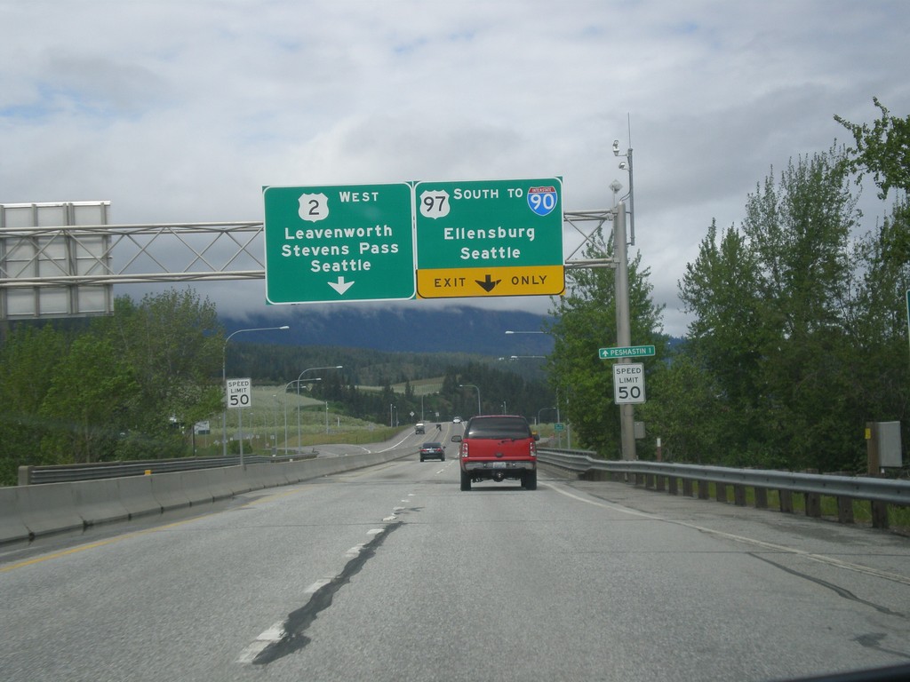
US-2 West/US-97 South At US-2/US-97 Split
US-2 West/US-97 South at the US-2/US-97 split. Use US-97 South to I-90/Ellensburg/Seattle (via Snoqualmie Pass). Use US-2 West to Leavenworth, Stevens Pass and Seattle (via Stevens Pass).
Taken 04-30-2018


 Dryden
Chelan County
Washington
United States
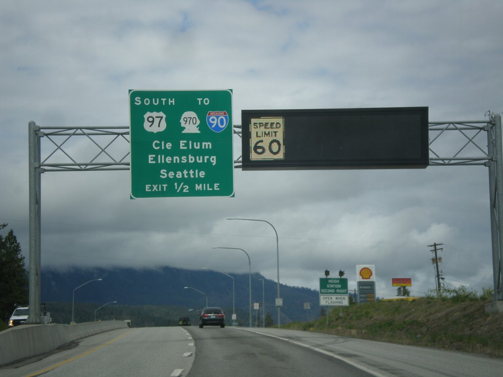
US-2 West/US-97 South Approaching US-2/US-97 Split
US-2 West/US-97 South approaching US-2/US-97 Split. Use US-97 south for WA-970/I-90 to Cle Elum, Ellensburg, and Seattle. A variable speed limit sign shows the speed as 60 MPH.
Taken 04-30-2018


 Cashmere
Chelan County
Washington
United States
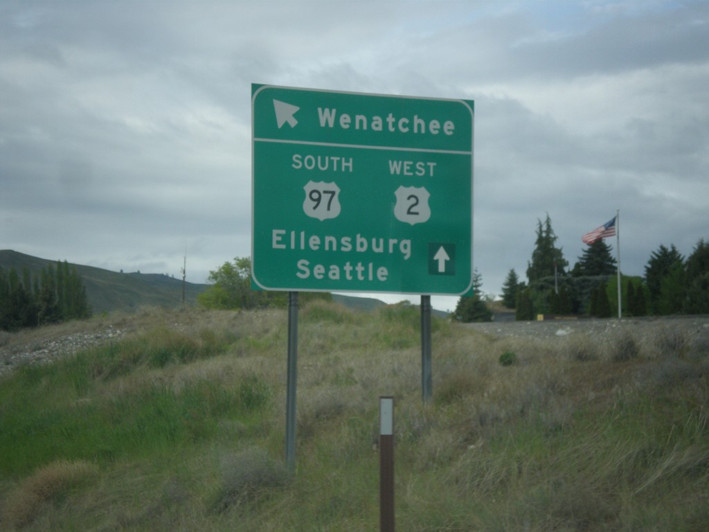
US-2 West/US-97 South at WA-285
US-2 West/US-97 South at WA-285 in Wenatchee. Merge left for (WA-285 South) to Ellensburg. Continue straight for US-2 West/US-97 South to Seattle and Ellensburg.
Taken 04-30-2018


 Wenatchee
Chelan County
Washington
United States