Signs Tagged With Freeway Junction
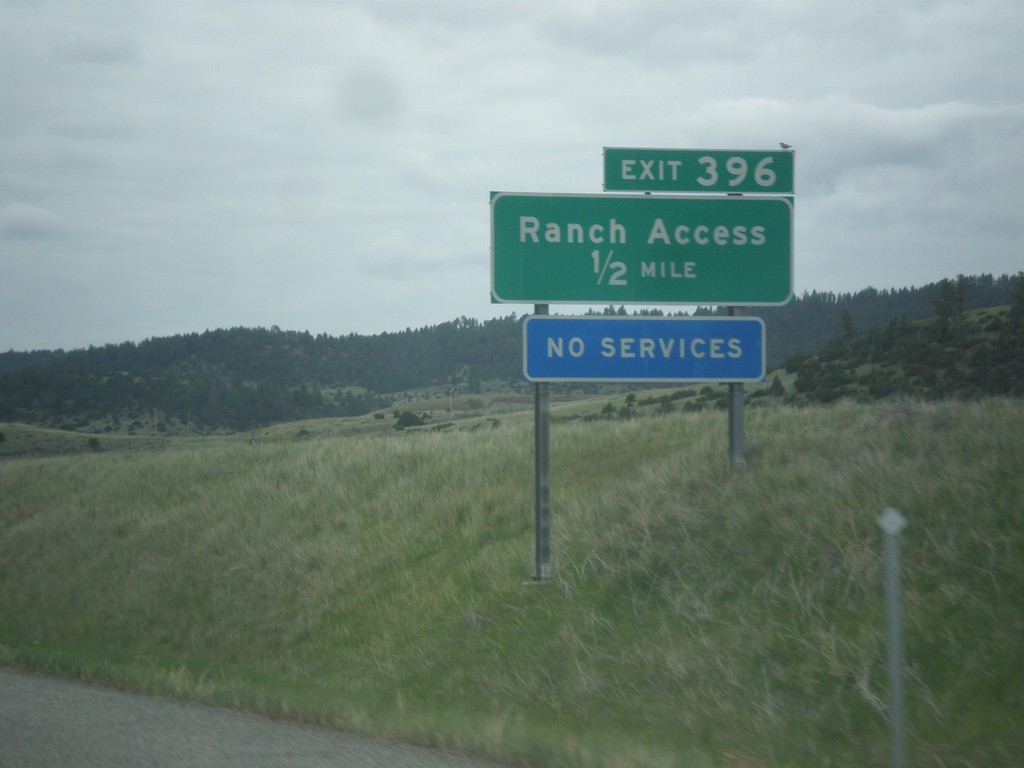
I-90 East - Exit 396
I-90 east approaching Exit 396 - Ranch Access.
Taken 05-14-2016
 Reed Point
Stillwater County
Montana
United States
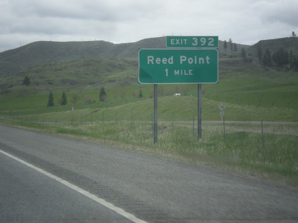
I-90 East - Exit 392
I-90 east approaching Exit 392 - Reed Point.
Taken 05-14-2016
 Reed Point
Sweet Grass County
Montana
United States
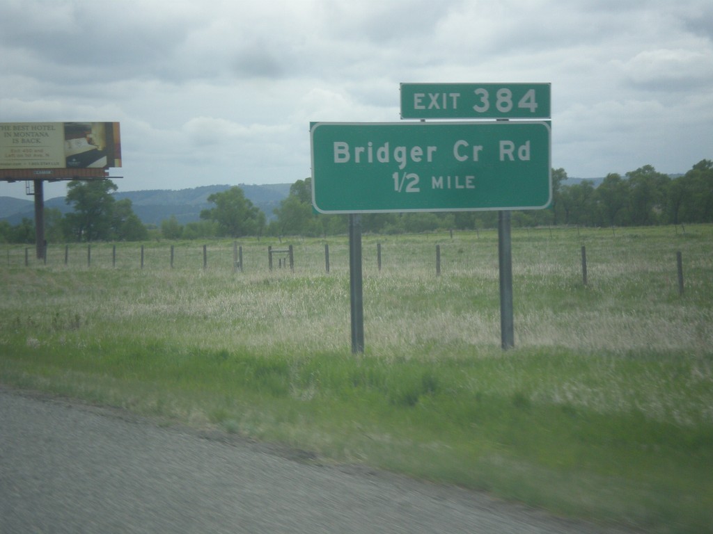
I-90 East - Exit 384
I-90 east approaching Exit 384 - Bridger Creek Road.
Taken 05-14-2016
 Greycliff
Sweet Grass County
Montana
United States
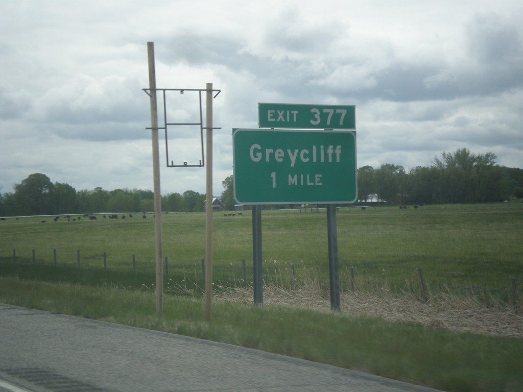
I-90 East - Exit 377
I-90 east approaching Exit 377 - Greycliff.
Taken 05-14-2016
 Greycliff
Sweet Grass County
Montana
United States
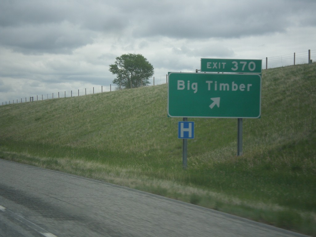
I-90 East - Exit 370
I-90 east at Exit 370 - Big Timber. This is the eastern end of the Big Timber business loop.
Taken 05-14-2016

 Big Timber
Sweet Grass County
Montana
United States
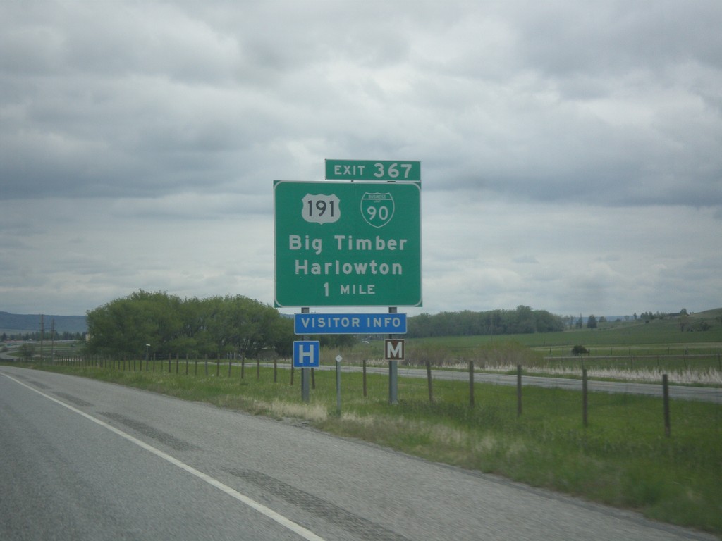
I-90 East - Exit 357
I-90 east approaching Exit 357 - BL-90/US-191 North/Big Timber/Harlowton. US-191 north leaves I-90 eastbound here. Westbound US-191 South joins I-90 to Bozeman.
Taken 05-14-2016


 Big Timber
Sweet Grass County
Montana
United States
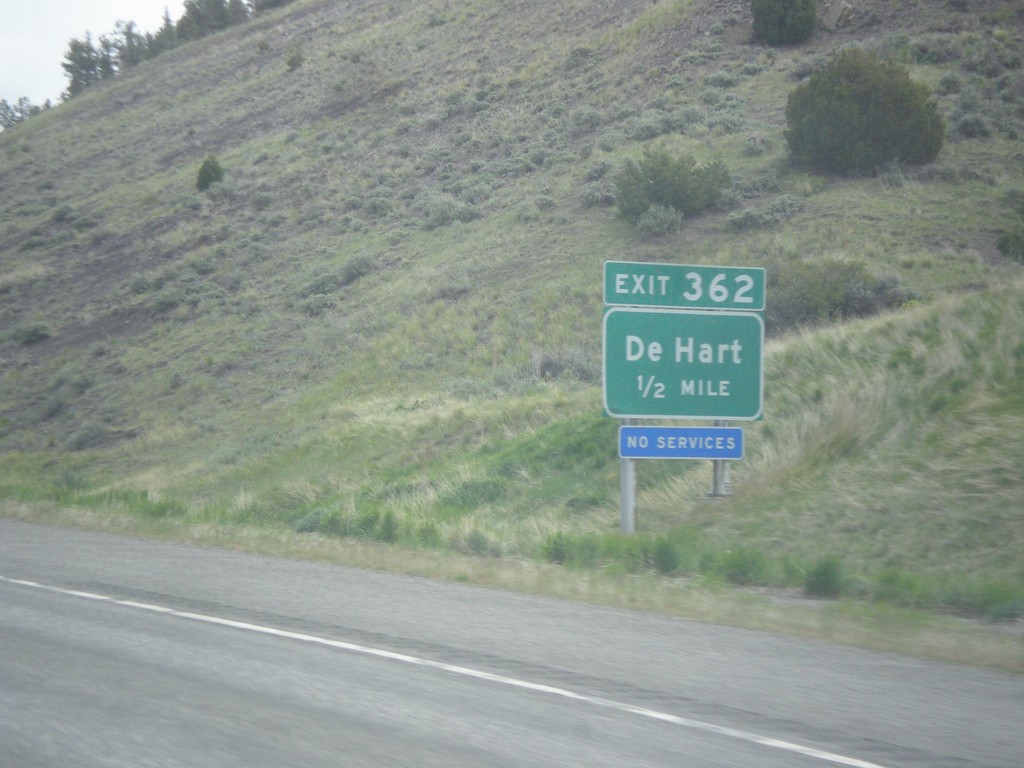
I-90 East - Exit 362
I-90 east approaching Exit 362 - De Hart.
Taken 05-14-2016

 Big Timber
Sweet Grass County
Montana
United States
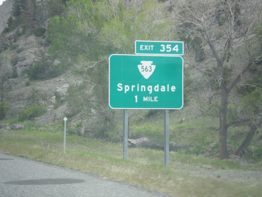
I-90 East - Exit 354
I-90 east approaching Exit 354 - MTS-563/Springdale.
Taken 05-14-2016


 Big Timber
Park County
Montana
United States
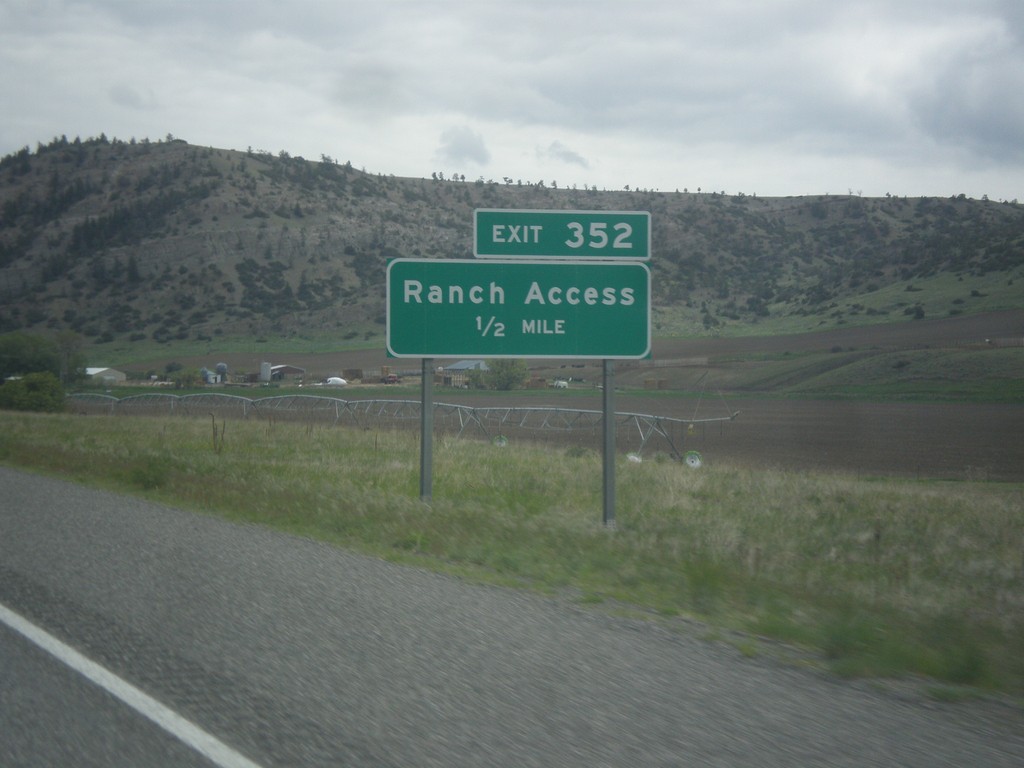
I-90 East - Exit 352
I-90 east approaching Exit 352 - Ranch Access.
Taken 05-14-2016

 Big Timber
Park County
Montana
United States
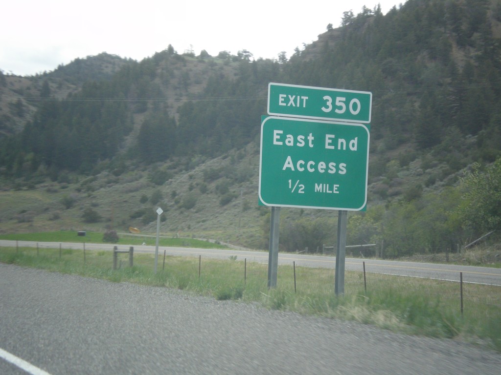
I-90 East - Exit 350
I-90 east approaching Exit 350 - East End Access.
Taken 05-14-2016

 Livingston
Park County
Montana
United States
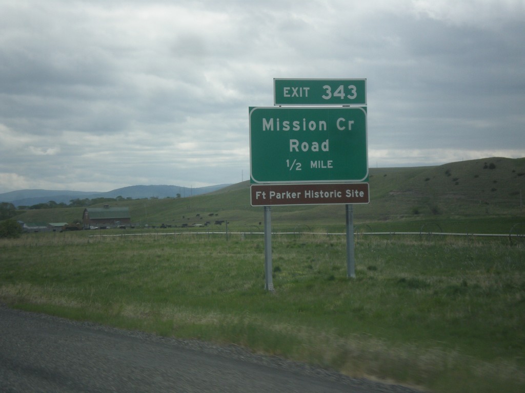
I-90 East - Exit 343
I-90 east approaching Exit 343 - Mission Creek Road.
Taken 05-14-2016

 Livingston
Park County
Montana
United States
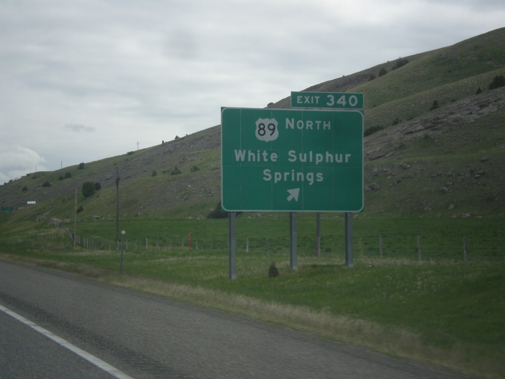
I-90 East - Exit 340
I-90 east at Exit 340 - US-89 North/White Sulphur Springs. US-89 leaves I-90/US-191 here.
Taken 05-14-2016


 Livingston
Park County
Montana
United States
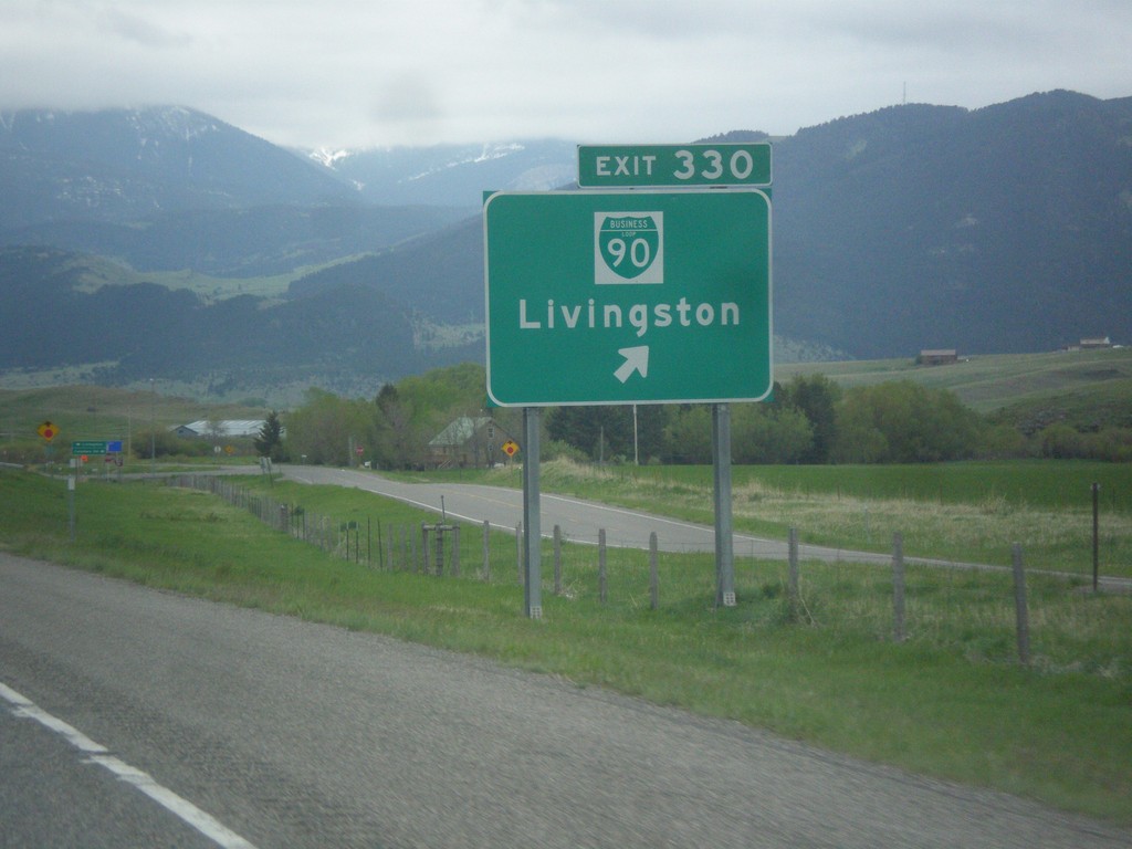
I-90 East - Exit 330
I-90 East at Exit 330 - BL-90/Livingston. This is the west end of the Livingston business loop.
Taken 05-14-2016


 Livingston
Park County
Montana
United States
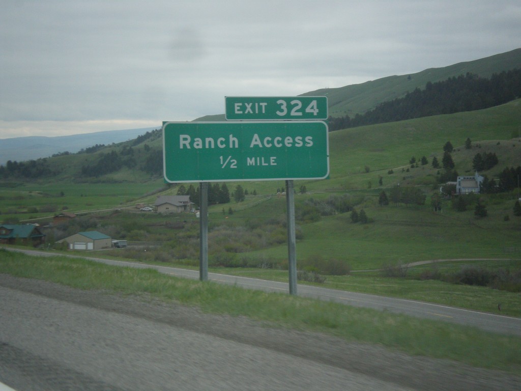
I-90 East - Exit 324
I-90 east approaching Exit 324 - Ranch Access.
Taken 05-14-2016

 Livingston
Park County
Montana
United States
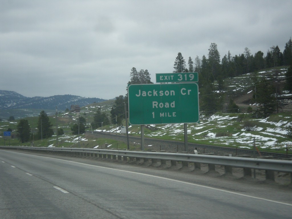
I-90 East - Exit 319
I-90 east approaching Exit 319 - Jackson Creek Road.
Taken 05-14-2016

 Bozeman
Gallatin County
Montana
United States
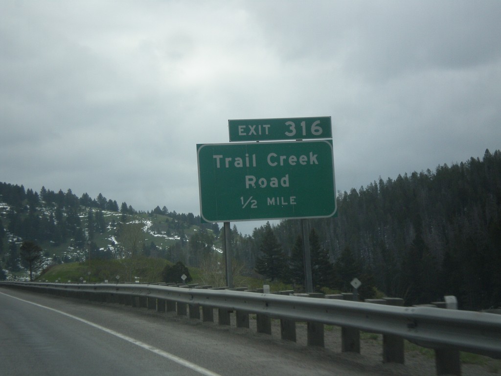
I-90 East - Exit 316
I-90 east approaching Exit 316 - Trail Creek Road.
Taken 05-14-2016

 Bozeman
Gallatin County
Montana
United States
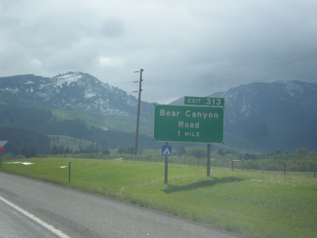
I-90 East - Exit 313
I-90 east approaching Exit 313 - Bear Canyon Road.
Taken 05-14-2016

 Bozeman
Gallatin County
Montana
United States
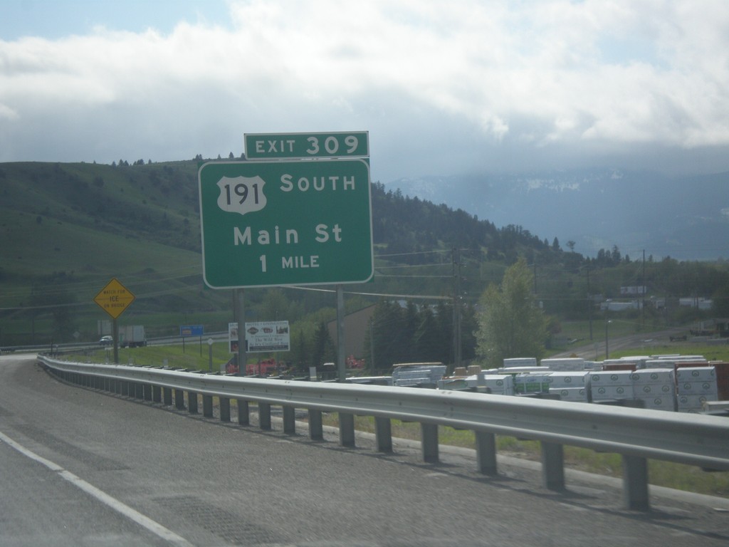
I-90 East - Exit 309
I-90 east approaching Exit 309 - US-191 South/Main St. This is the eastern end of the Bozeman business loop. US-191 joins I-90 eastbound to Big Timber.
Taken 05-14-2016


 Bozeman
Gallatin County
Montana
United States
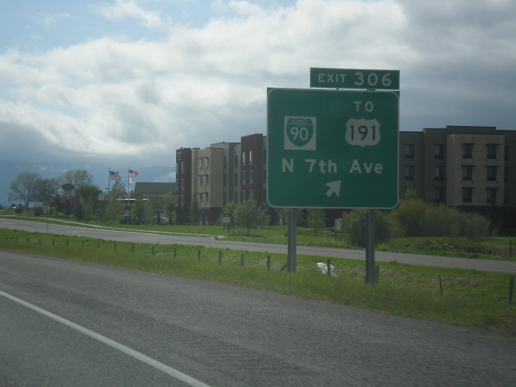
I-90 East - Exit 306
I-90 east at Exit 306 - BL-90/To US-191/N. 7th Ave.
Taken 05-14-2016


 Bozeman
Gallatin County
Montana
United States
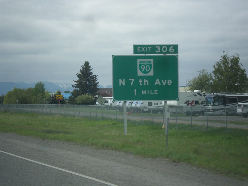
I-90 East - Exit 306
I-90 east approaching Exit 306 - BL-90/N. 7th Ave. This is the western end of the Bozeman business loop.
Taken 05-14-2016


 Bozeman
Gallatin County
Montana
United States
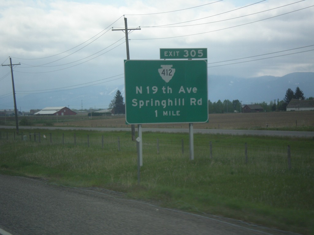
I-90 East - Exit 305
I-90 east approaching Exit 305 - MTS-412/N. 19th Ave./Springhill Road.
Taken 05-14-2016

 Bozeman
Gallatin County
Montana
United States
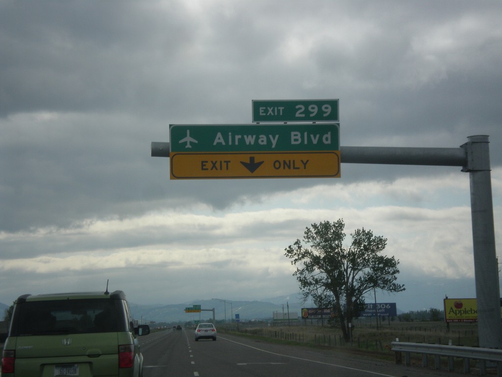
I-90 East - Exit 299
I-90 east approaching Exit 299 - Airway Blvd. in Belgrade. Use Exit 299 for access to Bozeman Yellowstone International Airport. This interchange was opened in 2016.
Taken 05-14-2016
 Belgrade
Gallatin County
Montana
United States
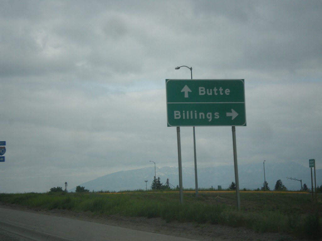
MT-85 North at I-90
MT-85 north at I-90 in Belgrade. Turn right for I-90 east to Billings; continue over freeway for I-90 west to Butte.
Taken 05-14-2016

 Belgrade
Gallatin County
Montana
United States
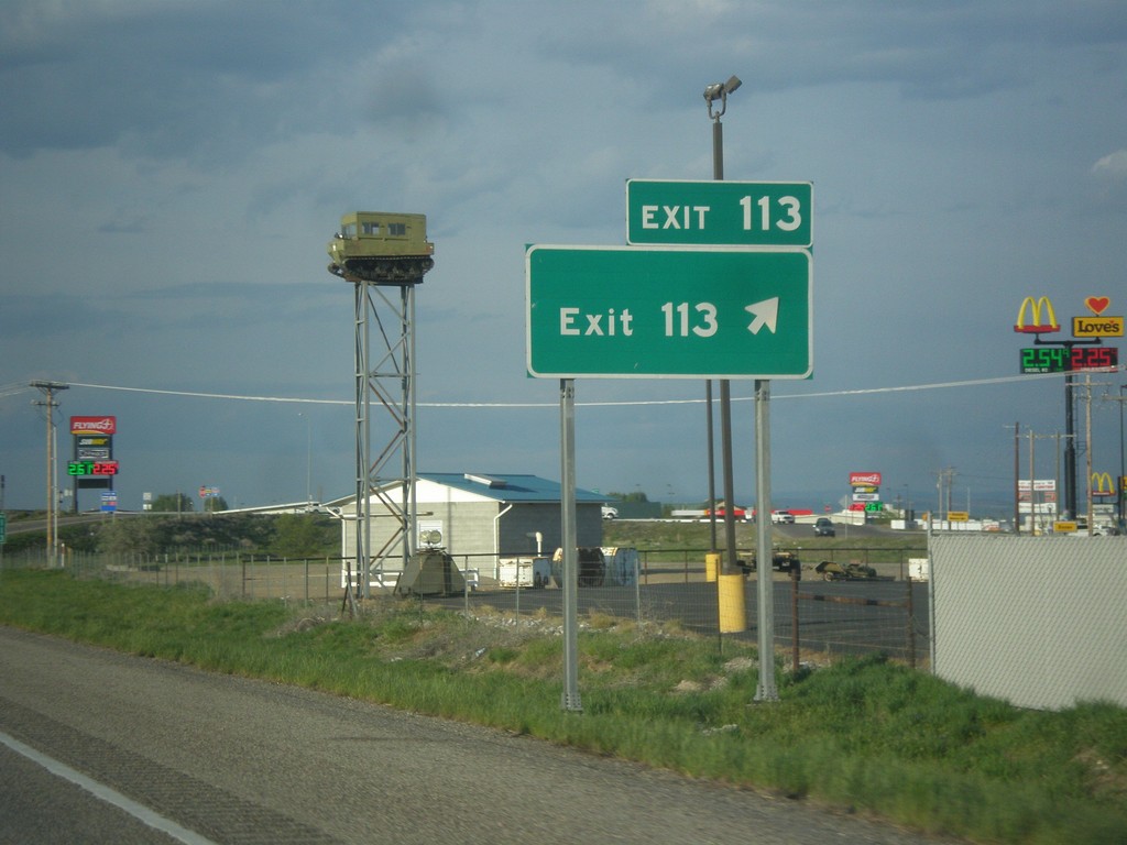
I-15 North - Exit 113
I-15 north at Exit 113 - Exit 113. This is the only instance of an interchange in Idaho with simply the name of its exit. The advanced signage at this interchange is Shelley, and same as the southbound exit name. This sign has been in place since BL-15 and US-26 was routed to the newer Exit 116 interchange.
Taken 05-13-2016

 Idaho Falls
Bonneville County
Idaho
United States
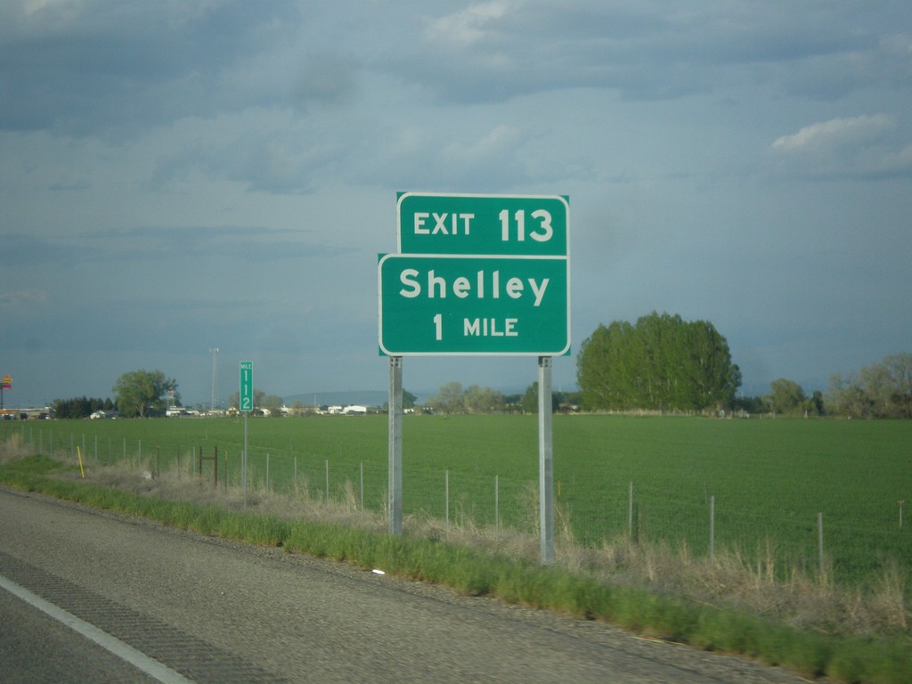
I-15 North - Exit 113
I-15 north approaching Exit 113 - Shelley.
Taken 05-13-2016

 Idaho Falls
Bonneville County
Idaho
United States