Signs Tagged With Named Highway
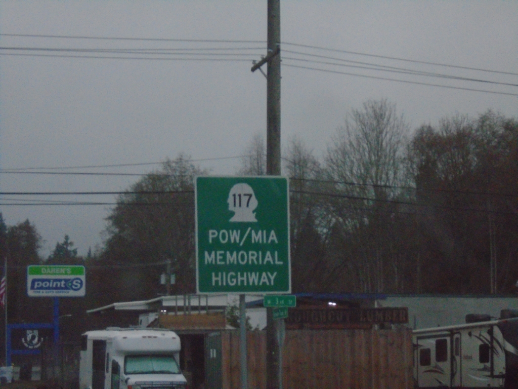
WA-117 South - POW/MIA Memorial Highway
WA-117 South (Tumwater Truck Route) - POW/MIA Memorial Highway
Taken 12-22-2025
 Port Angeles
Clallam County
Washington
United States
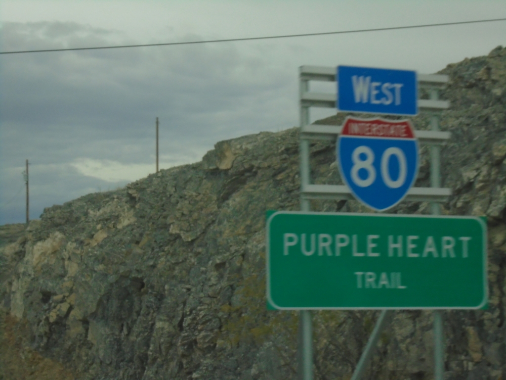
I-80 West - Purple Heart Trail
I-80 West - Purple Heart Trail in West Wendover, Nevada. This is the first I-80 shield westbound in Nevada.
Taken 10-25-2025
 West Wendover
Elko County
Nevada
United States
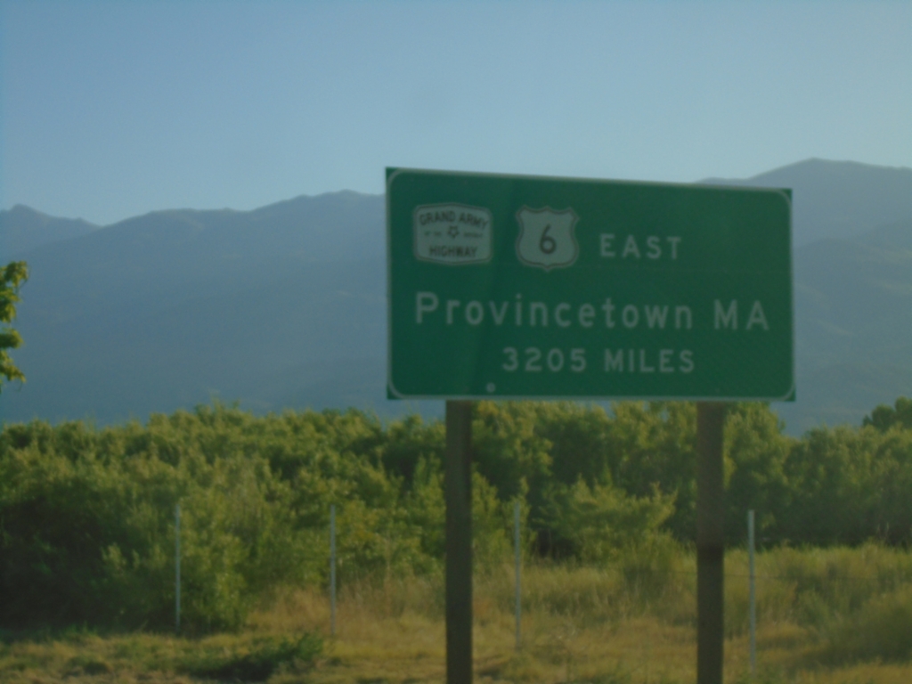
US-6 East - Distance Marker
Distance marker on US-6 east. Distance to eastern terminus in Provincetown, MA - 3205 miles. US-6 is the Grand Army of the Republic Highway.
Taken 07-22-2025
 Bishop
Inyo County
California
United States
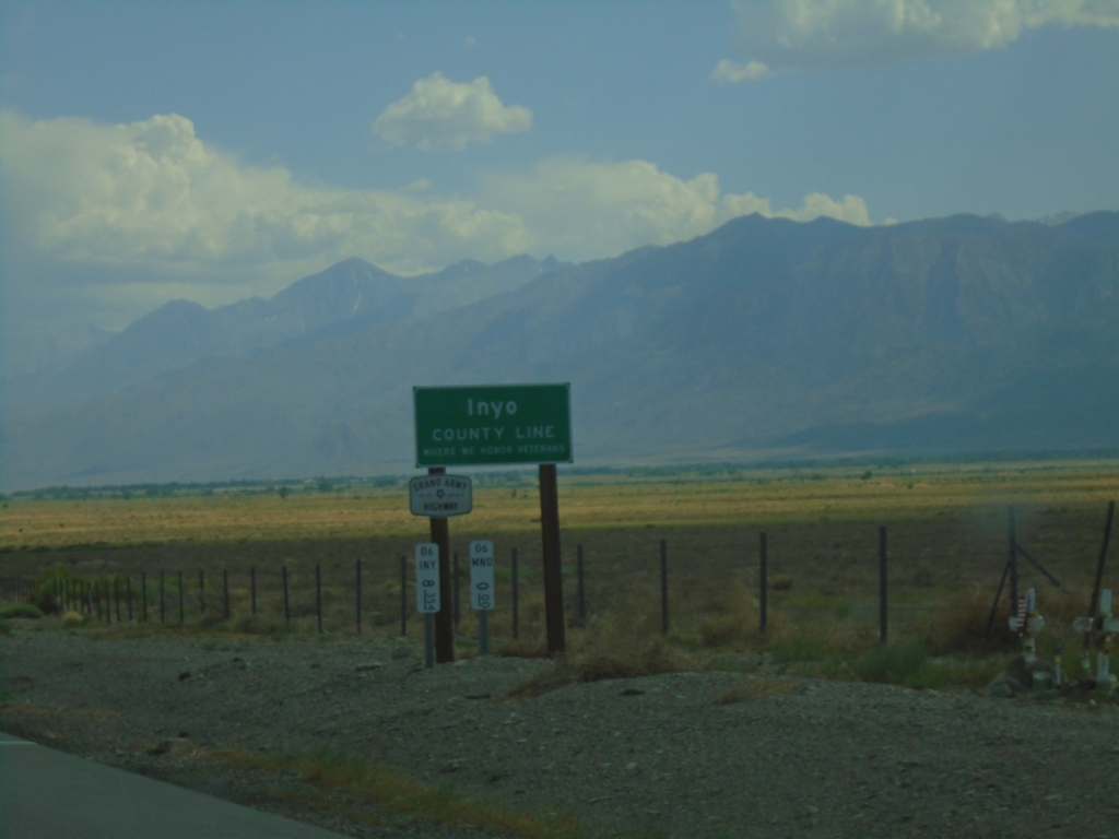
US-6 West - Inyo County Line
Inyo County Line on US-6 west. US-6 is part of the Grand Army of the Republic Highway. Taken at the Mono-Inyo county line.
Taken 07-20-2025
 Bishop
Inyo County
California
United States
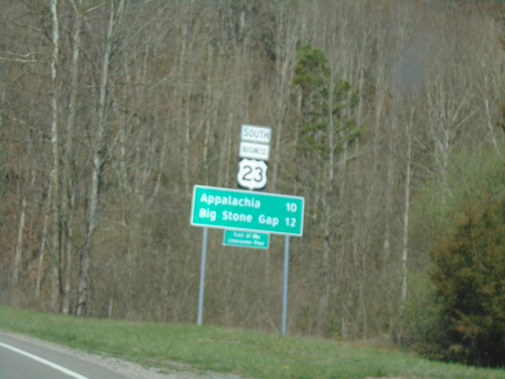
Bus. US-23 South - Distance Marker
Distance Marker on Bus. US-23 South. Distance to Appalachia and Big Stone Gap.
Taken 03-31-2024
 Norton
Wise County
Virginia
United States
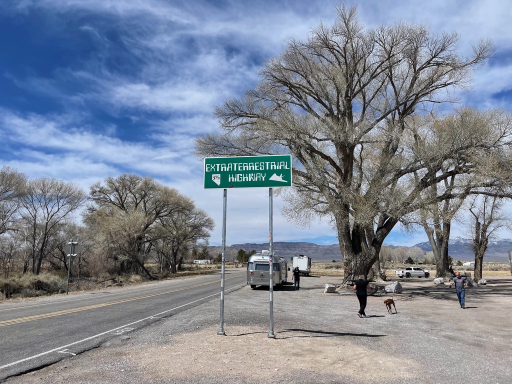
NV-375 West- Extraterrestrial Highway
NV-375 West- Extraterrestrial Highway. The highway sign is posted very high, so that no one can deface it with stickers, or steal it.
Taken 04-01-2023
 Hiko
Lincoln County
Nevada
United States
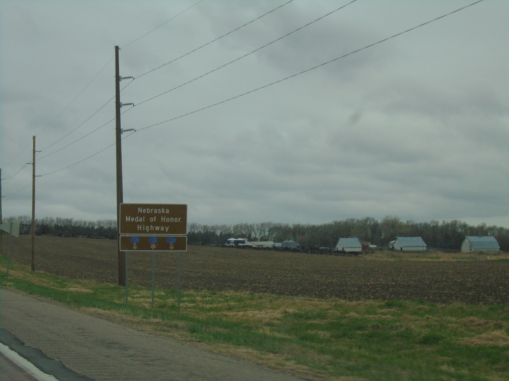
US-20 West - Nebraska Medal of Honor Highway
Nebraska Medal of Honor Highway on US-20 west. US-20 is designated as a Medal of Honor highway. Each state along US-20 has designated its stretch of US-20 as a Medal of Honor highway. The signs across each state look similar.
Taken 05-02-2022
 McLean
Pierce County
Nebraska
United States
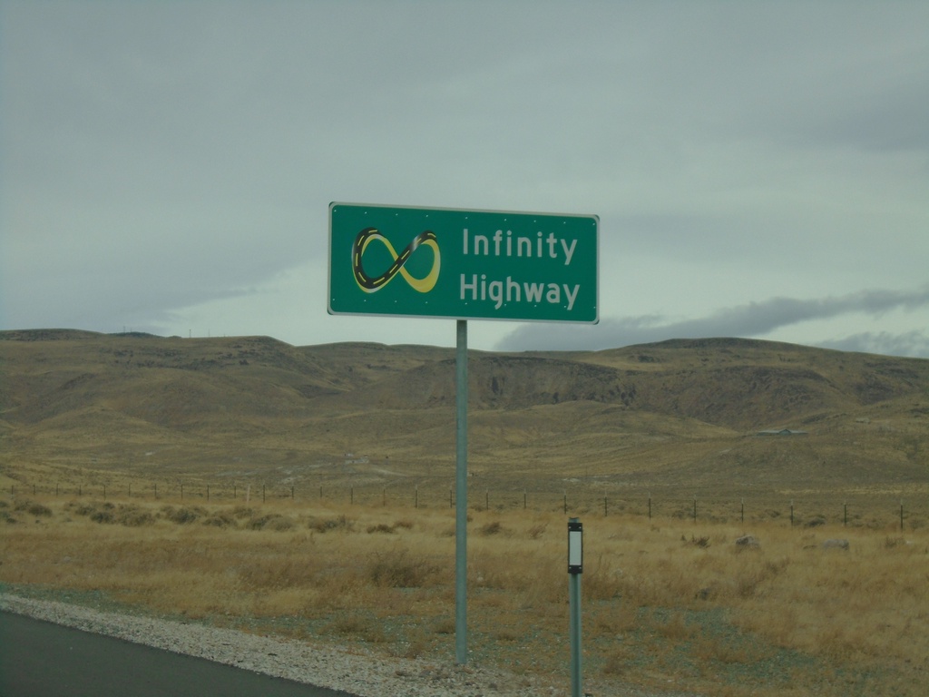
NV-439 North - Infinity Highway
Infinity Highway on NV-439 North. NV-439 North passes by the Tesla Gigafactory.
Taken 10-19-2019
 Silver Springs
Lyon County
Nevada
United States
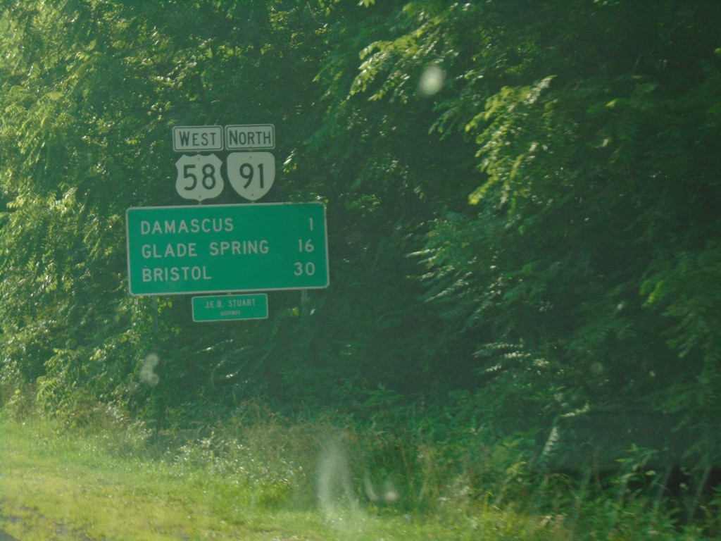
US-58 West/VA-91 North - Distance Marker
Distance Marker on US-58 West/VA-91 North. Distance to Damascus, Glade Spring, and Bristol. US-58 is the Jeb Stewart Highway.
Taken 06-23-2019

 Damascus
Washington County
Virginia
United States
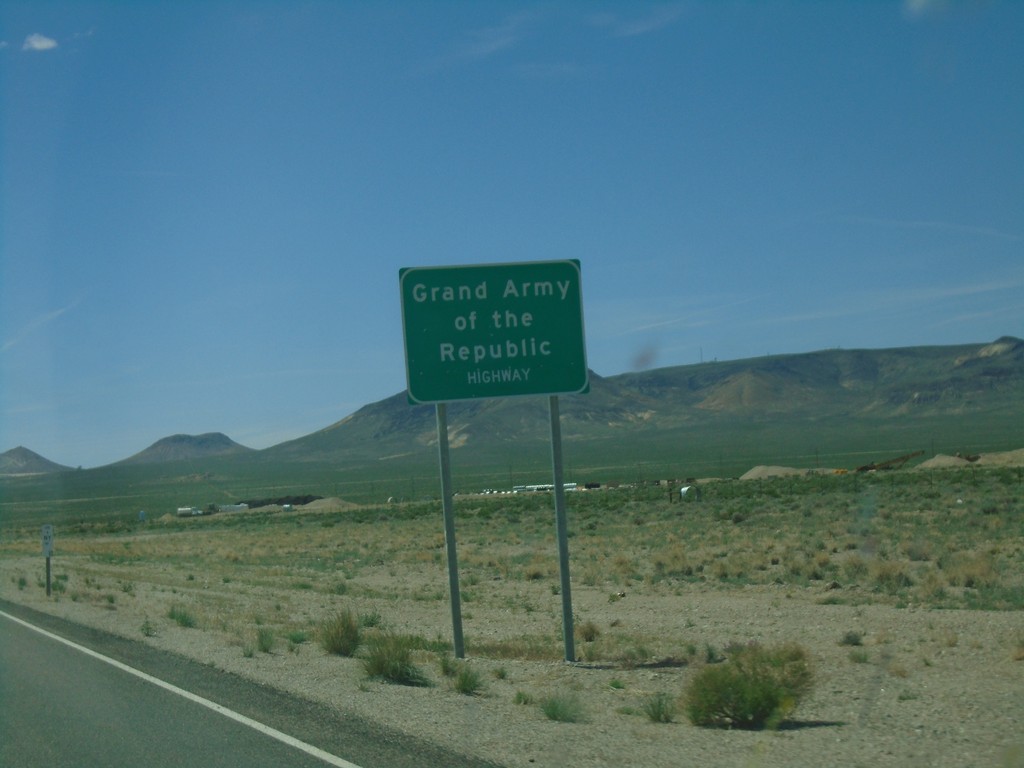
US-6 West - Grand Army of the Republic Highway
US-6 West - Grand Army of the Republic Highway in Nye County.
Taken 04-26-2019
 Tonopah
Nye County
Nevada
United States
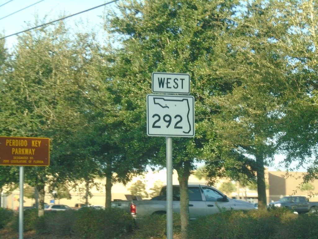
FL-292 West - Perdido Key Parkway
FL-292 West - Perdido Key Parkway.
Taken 12-26-2018
 Pensacola
Escambia County
Florida
United States
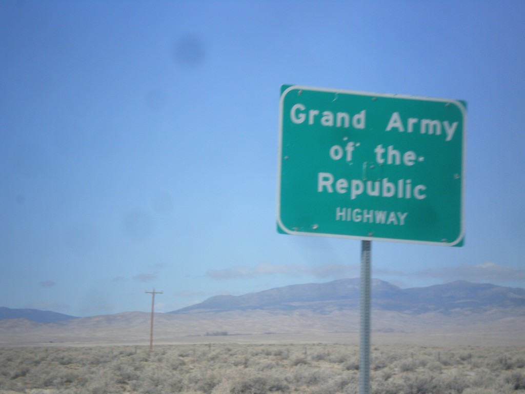
US-6/US-50 West - Grand Army of the Republic Highway
Grand Army of the Republic Highway on US-6/US-50 West. US-6 is designated as the Grand Army of the Republic Highway nationally.
Taken 02-13-2018

 Baker
White Pine County
Nevada
United States
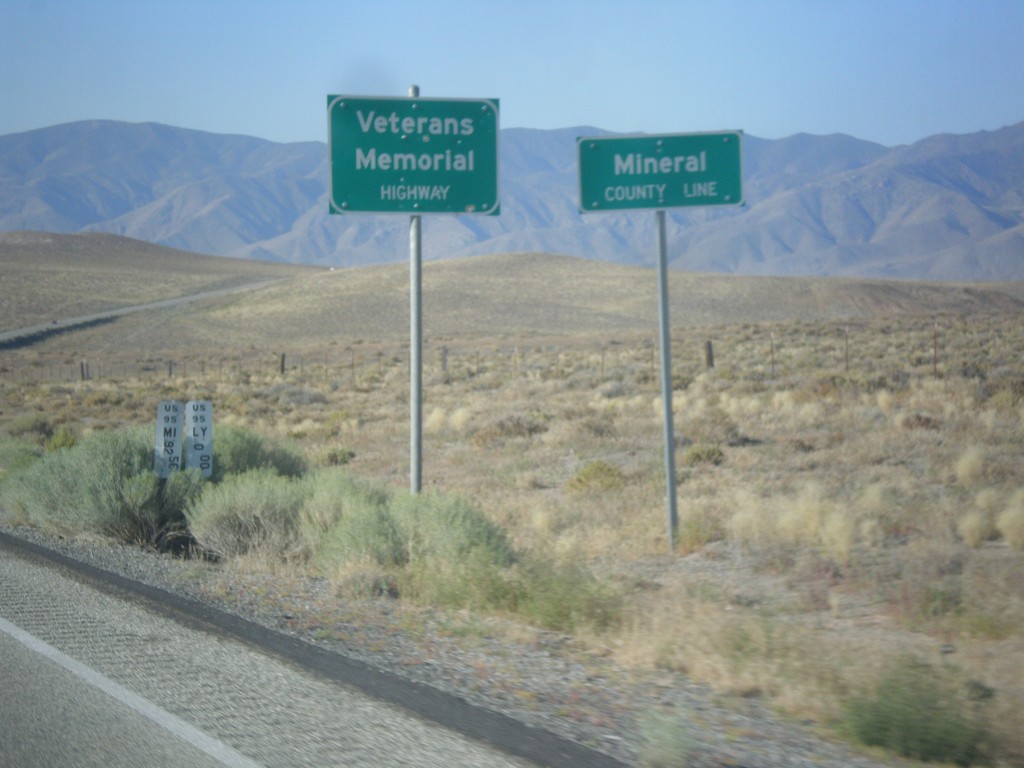
US-95 South - Mineral County
Mineral County Line on US-95 south. US-95 through Nevada is designated the Veterans Memorial Highway.
Taken 08-12-2016
 Schurz
Mineral County
Nevada
United States
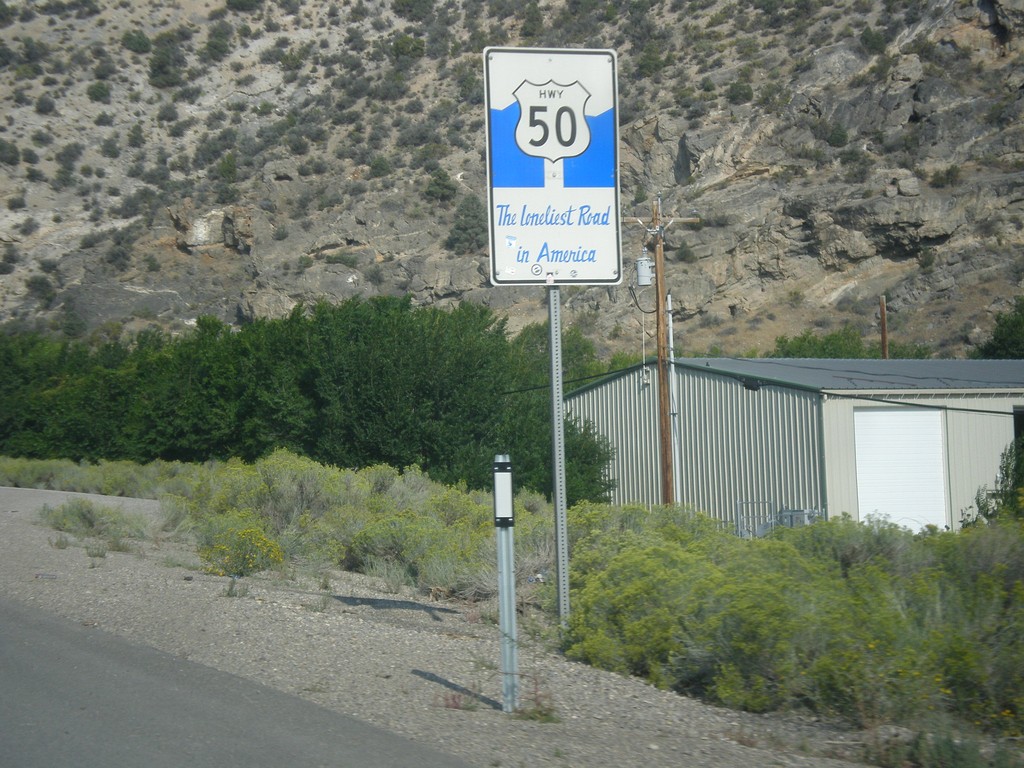
US-50 West - The Loneliest Road In America
The Loneliest Road in America on US-50 west. Taken at the west edge of Ely.
Taken 08-31-2014
 Ely
White Pine County
Nevada
United States
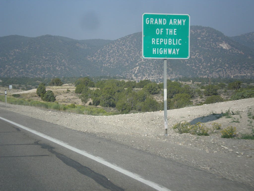
US-6 West - Grand Army of the Republic Highway
US-6 west - Grand Army of the Republic Highway.
Taken 08-31-2014
 Ely
White Pine County
Nevada
United States
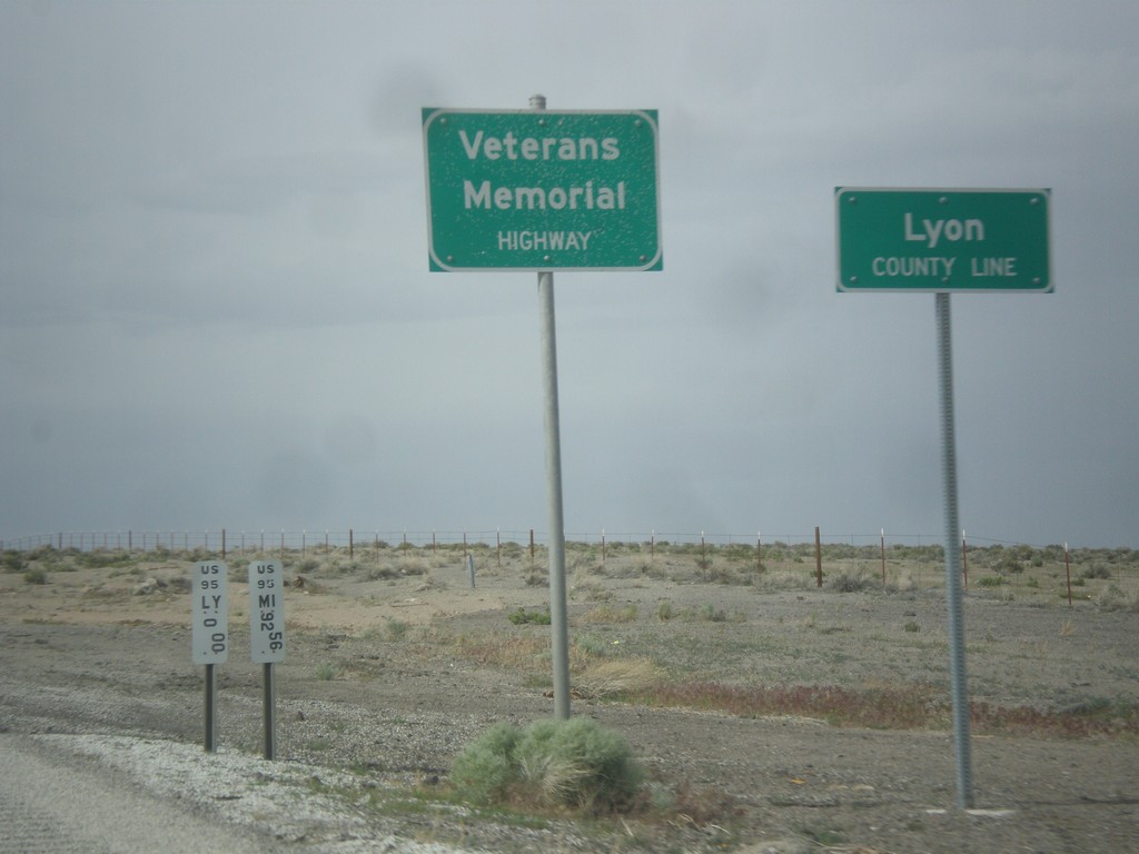
US-95 North - Lyon County Line
Lyon County Line on US-95 north. US-95 is signed as the Veterans Memorial Highway throughout Nevada.
Taken 05-05-2014
 Schurz
Lyon County
Nevada
United States
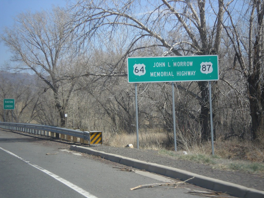
US-64/US-87 East - John L. Morrow Memorial Highway
US-64/US-87 East - John L. Morrow Memorial Highway. I saw a similar sign on US-64/US-87 West leaving Clayton.
Taken 03-29-2014

 Raton
Colfax County
New Mexico
United States
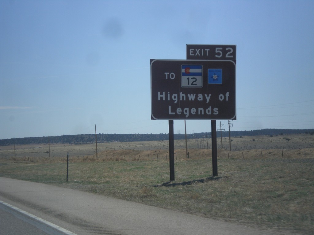
I-25 South Approaching Exit 52
I-25 south approaching Exit 52. Use Exit 52 for CO-12, the Highway of Legends Scenic Byway.
Taken 03-29-2014


 Walsenburg
Huerfano County
Colorado
United States
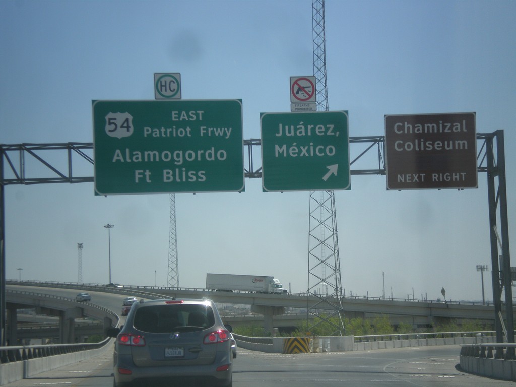
I-10 East - I-110/US-54 Jct.
I-10 east at I-110/US-54 ramps. Use left lane for US-54 East/Alamogordo/Ft. Bliss; use right lane for (I-110 South/US-54 West)Juarez Mexico. Notice that firearms are prohibited in Mexico.
Taken 04-15-2013


 El Paso
 County
Texas
United States
El Paso
El Paso County
Texas
United States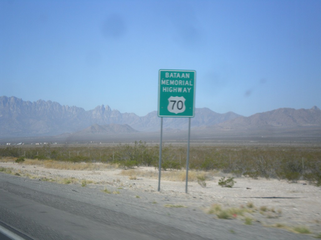
US-70 West - Bataan Memorial Highway
US-70 west - Bataan Memorial Highway. US-70 between Las Cruces and Alamogordo is designated as the Bataan Memorial Highway.
Taken 04-15-2013
 Tularosa
Otero County
New Mexico
United States
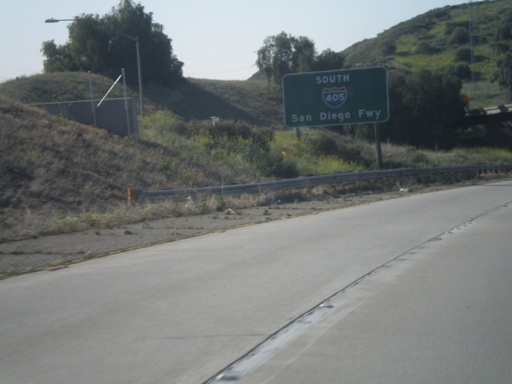
I-405 South - San Diego Freeway
Begin I-405 south - San Diego Freeway.
Taken 05-05-2012
 Los Angeles
 County
California
United States
Los Angeles
Los Angeles County
California
United States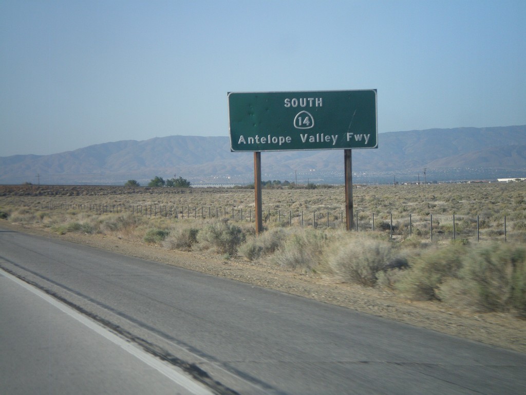
CA-14 South - Antelope Valley Freeway
CA-14 South (and CA-138 East) - Antelope Valley Freeway.
Taken 05-05-2012

 Lancaster
Los Angeles County
California
United States
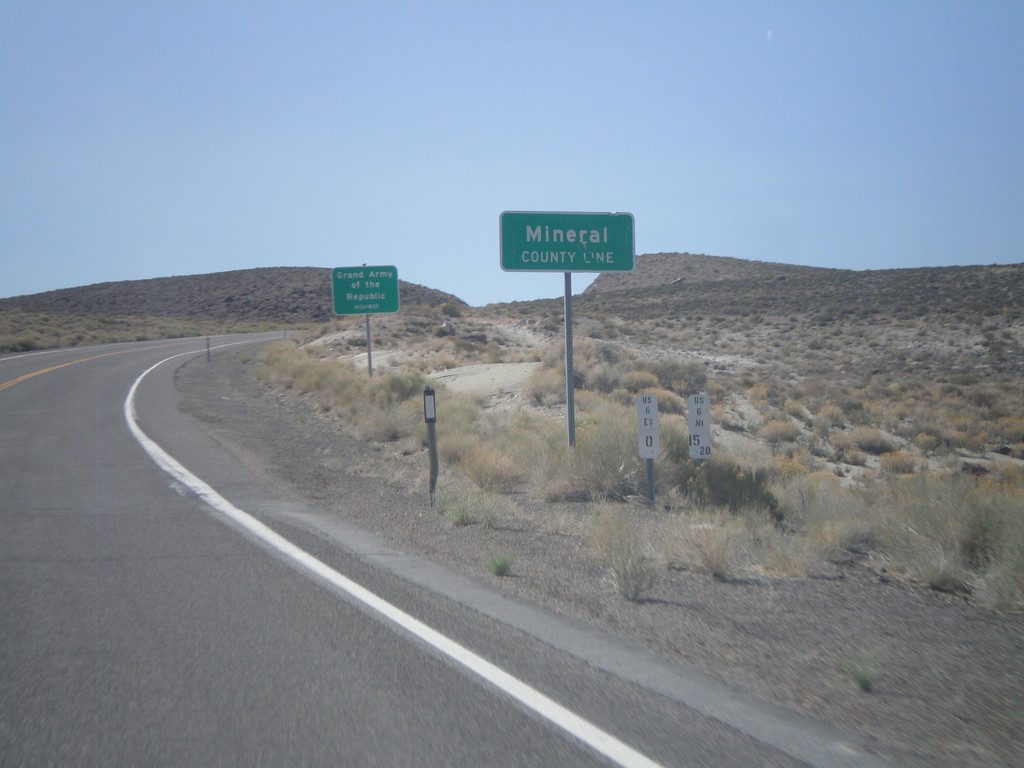
US-6 West - Mineral County Line
US-6 West at Mineral County Line. Taken at the Mineral - Esmeralda County Line.
Taken 05-04-2012
 Esmeralda County
Nevada
United States
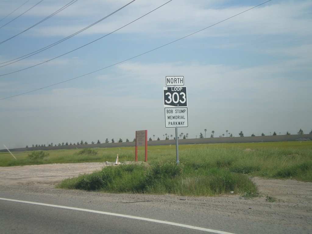
AZ-303 Loop North
AZ-303 Loop North - Bob Stump Memorial Parkway. AZ-303 Loop shield is signed with the old white on black style.
Taken 03-22-2010
 Goodyear
Maricopa County
Arizona
United States
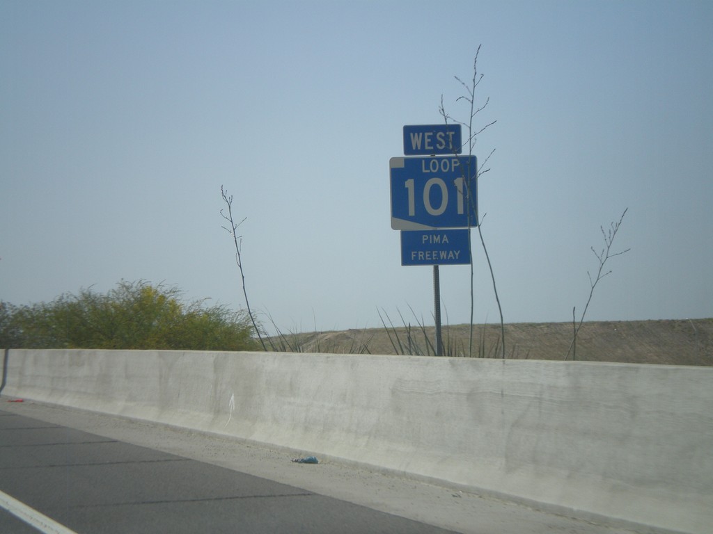
AZ-101 West - Pima Freeway
AZ-101 Loop West - Pima Freeway
Taken 03-23-2009
 Phoenix
Maricopa County
Arizona
United States