Signs Tagged With Interchange
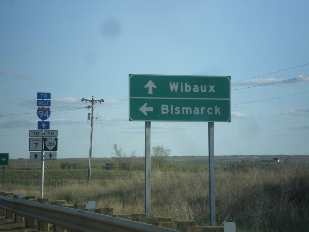
MT-7 South at I-94 East
MT-7 South at I-94 East to Bismarck (North Dakota). Continue south on MT-7 for MTS-261 and Wibaux.
Taken 05-14-2016


 Wibaux
 County
Montana
United States
Wibaux
Wibaux County
Montana
United States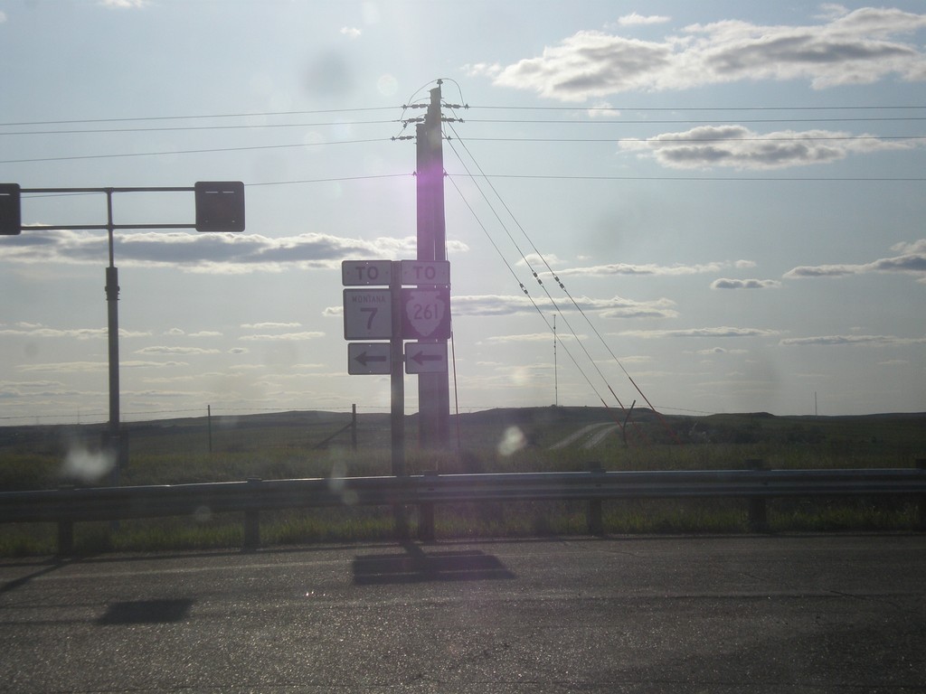
I-94 West at MT-7
I-94 west at MT-7/To MTS-261. MT-7 is signed as “To” MT-7 into Wibaux. The Montana state highway logs list MT-7 as connecting to I-94 at this interchange.
Taken 05-14-2016


 Wibaux
 County
Montana
United States
Wibaux
Wibaux County
Montana
United States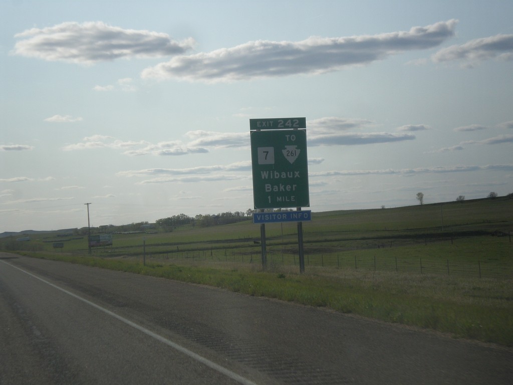
I-94 West - Exit 242
I-94 west approaching Exit 242 - MT-7/To MTS-261/Wibaux/Baker.
Taken 05-14-2016


 Wibaux
 County
Montana
United States
Wibaux
Wibaux County
Montana
United States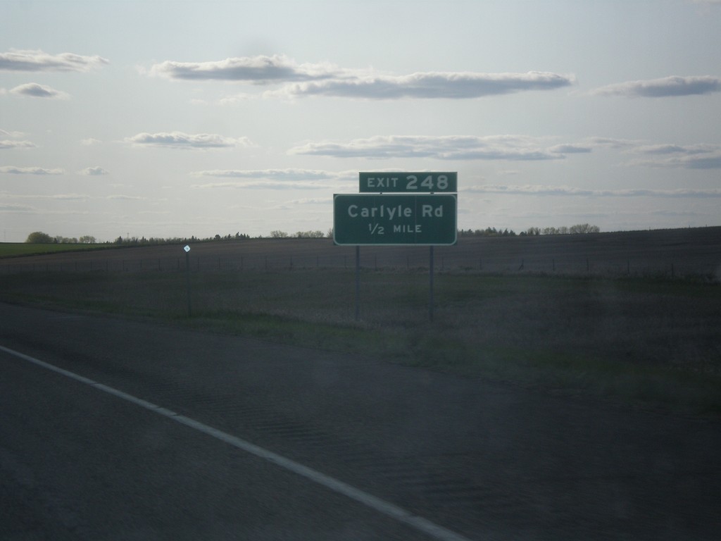
I-94 West - Exit 248
I-94 west approaching Exit 248 - Carlyle Road.
Taken 05-14-2016
 Wibaux
 County
Montana
United States
Wibaux
Wibaux County
Montana
United States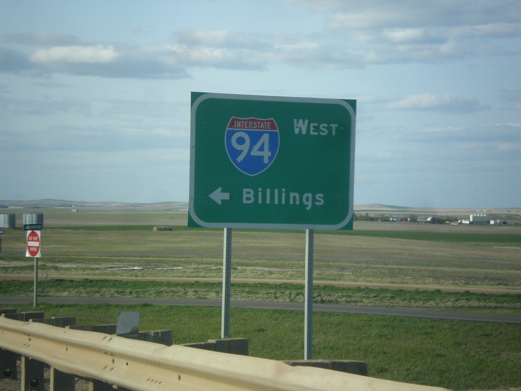
ND-16 North at I-94 West
ND-16 North at I-94 West to Billings, Montana.
Taken 05-14-2016

 Beach
Golden Valley County
North Dakota
United States
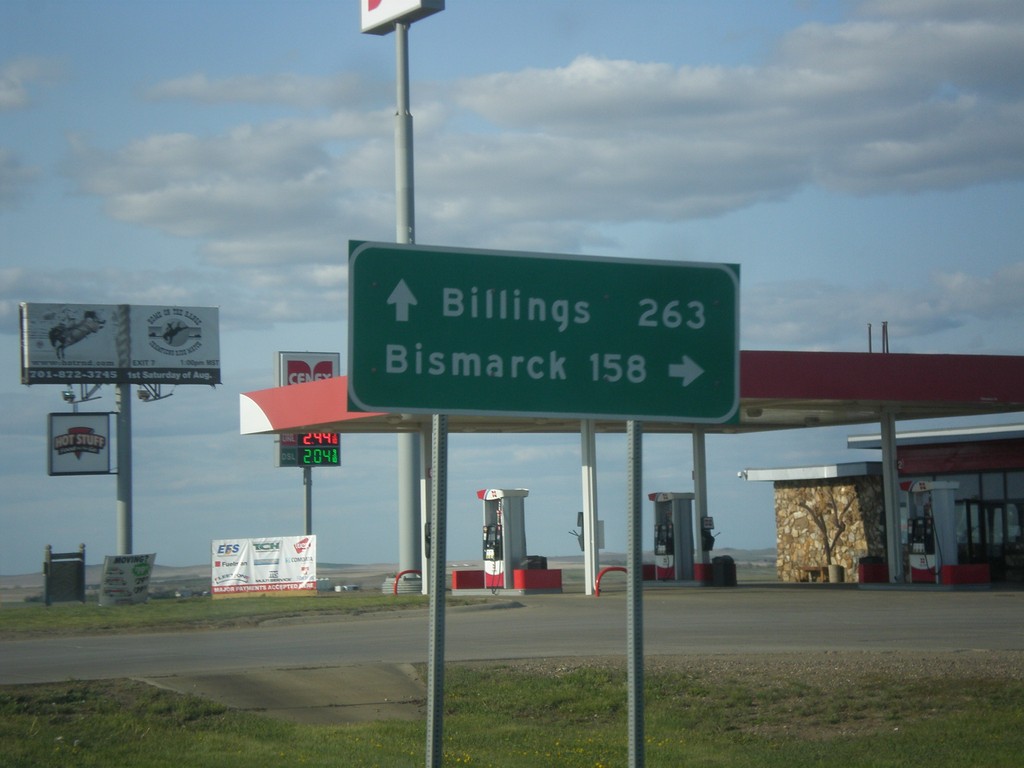
ND-16 North at I-94
ND-16 North at I-94 near Beach. Use I-94 east for Bismarck; I-94 west for Billings (Montana).
Taken 05-14-2016

 Beach
Golden Valley County
North Dakota
United States
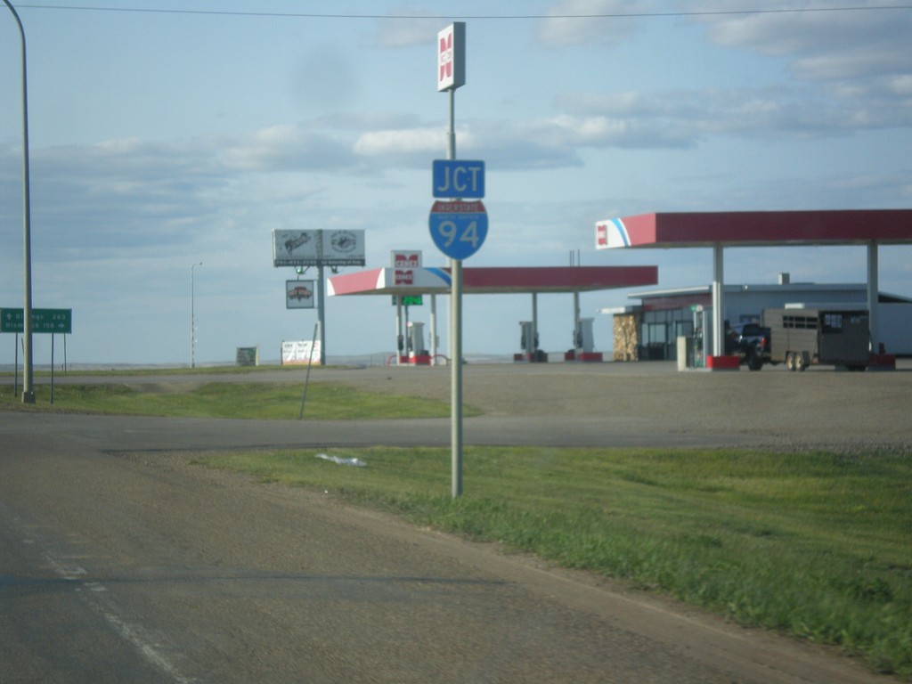
ND-16 North Approaching I-94
ND-16 North approaching I-94 near Beach.
Taken 05-14-2016

 Beach
Golden Valley County
North Dakota
United States
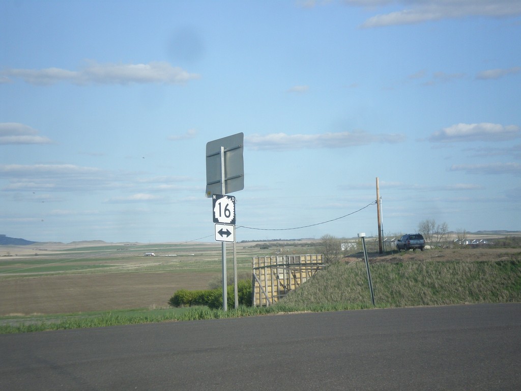
I-94 East - Exit 1 Offramp
I-94 East on Exit 1 Offramp at ND-16 junction.
Taken 05-14-2016

 Beach
Golden Valley County
North Dakota
United States
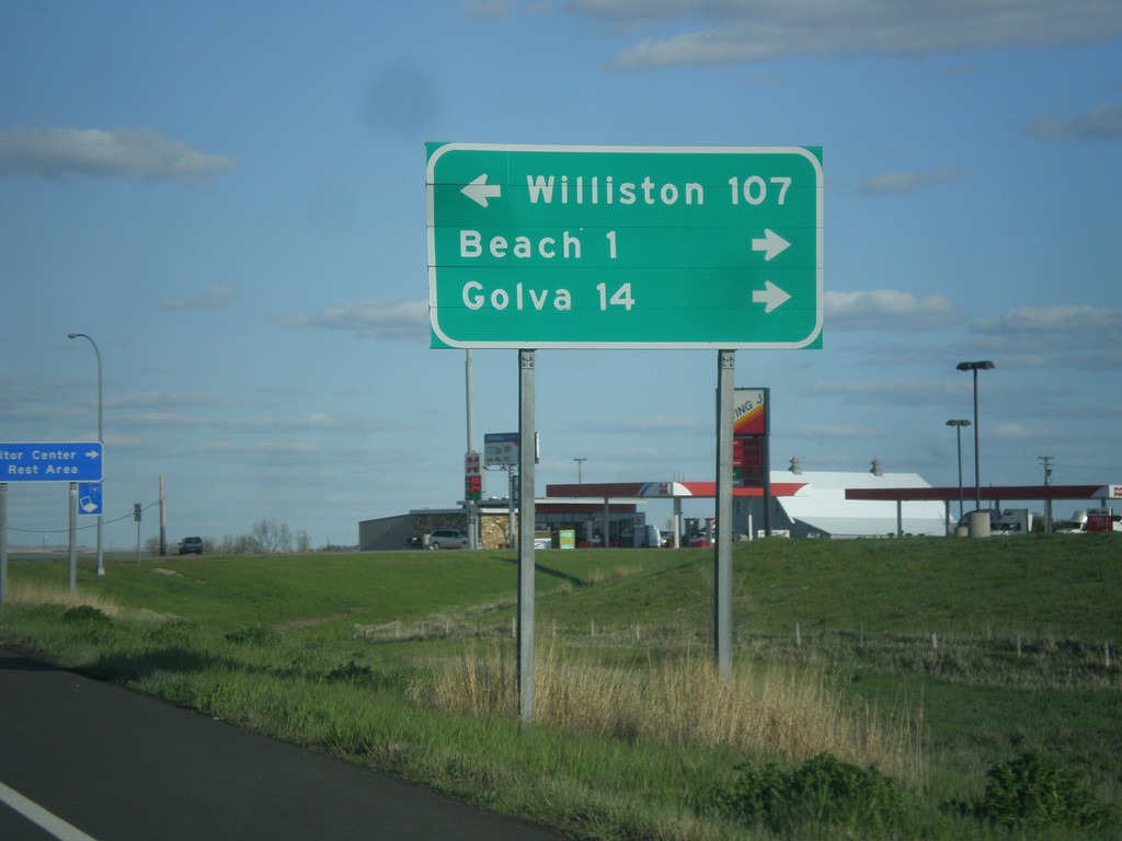
I-94 East - Exit 1 Offramp
I-94 East on Exit 1 Offramp. Turn left for ND-16 north to Williston; turn right for ND-16 south to Beach and Golva.
Taken 05-14-2016

 Beach
Golden Valley County
North Dakota
United States
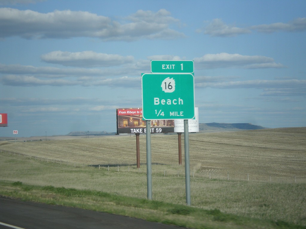
I-94 East - Exit 1
I-94 east approaching Exit 1 - ND-16/Beach
Taken 05-14-2016

 Beach
Golden Valley County
North Dakota
United States
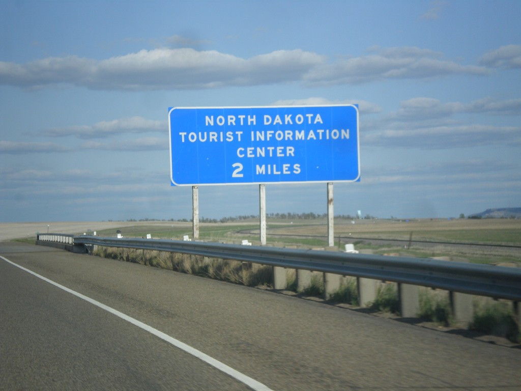
I-94 East - North Dakota Tourist Information Center
I-94 East - North Dakota Tourist Information Center. This sign is located within the state of Montana, about 0.25 miles from the state line.
Taken 05-14-2016
 Yates
Wibaux County
Montana
United States
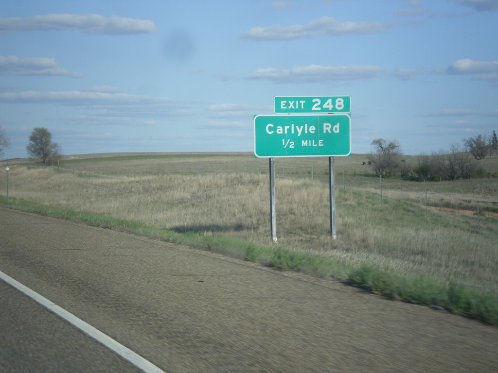
I-94 East - Exit 248
I-94 east approaching Exit 248 - Carlyle Road. This is the last exit on I-94 eastbound in Montana.
Taken 05-14-2016
 Wibaux
 County
Montana
United States
Wibaux
Wibaux County
Montana
United States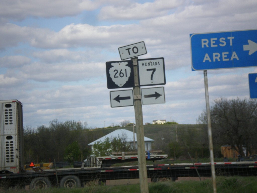
I-94 East - Exit 241 Offramp at MTS-261
I-94 East - Exit 241 offramp at MTS-261. Turn right for MTS-261 south, to MT-7, and the Wibaux Rest Area. Turn left for MTS-261 North. There is no destination city for MTS-261 north, although it parallels the Montana - North Dakota border north to near Sidney.
Taken 05-14-2016


 Wibaux
 County
Montana
United States
Wibaux
Wibaux County
Montana
United States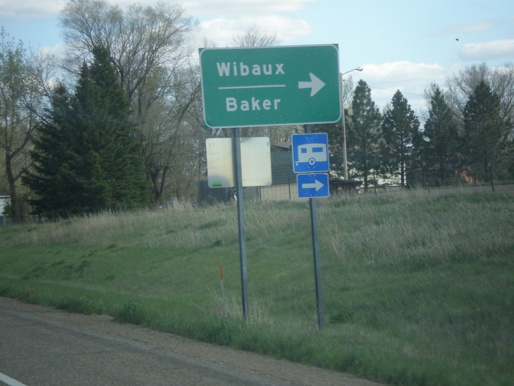
I-94 East - Exit 241 Offramp
I-94 East - Exit 241 Offramp at MTS-261/MT-7. Turn right for MT-7 to Wibaux and Baker.
Taken 05-14-2016


 Wibaux
 County
Montana
United States
Wibaux
Wibaux County
Montana
United States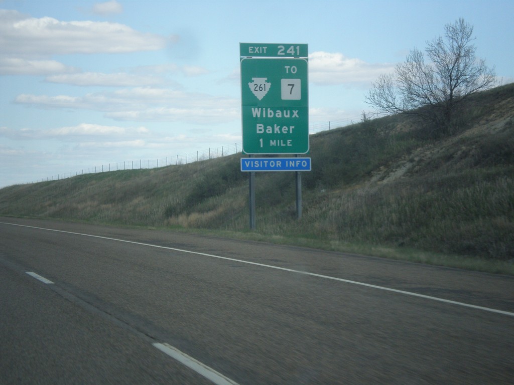
I-94 East - Exit 241
I-94 east approaching Exit 241 - MTS-261/To MT-7/Wibaux/Baker.
Taken 05-14-2016


 Wibaux
 County
Montana
United States
Wibaux
Wibaux County
Montana
United States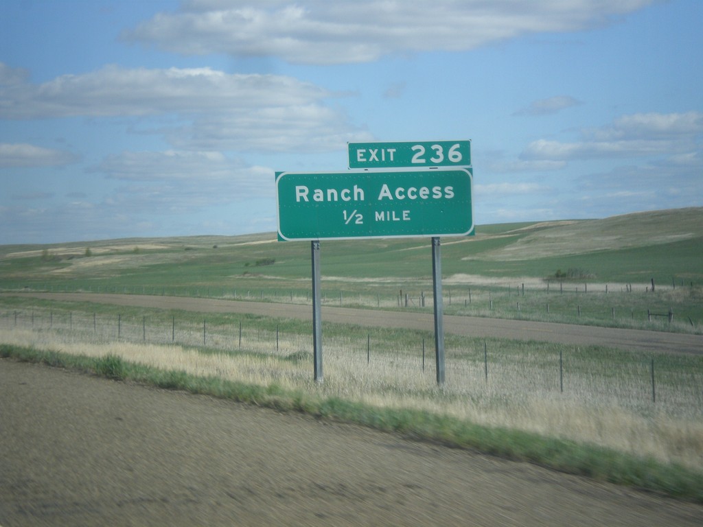
I-94 East - Exit 236
I-94 east approaching Exit 236 - Ranch Access.
Taken 05-14-2016
 Wibaux
 County
Montana
United States
Wibaux
Wibaux County
Montana
United States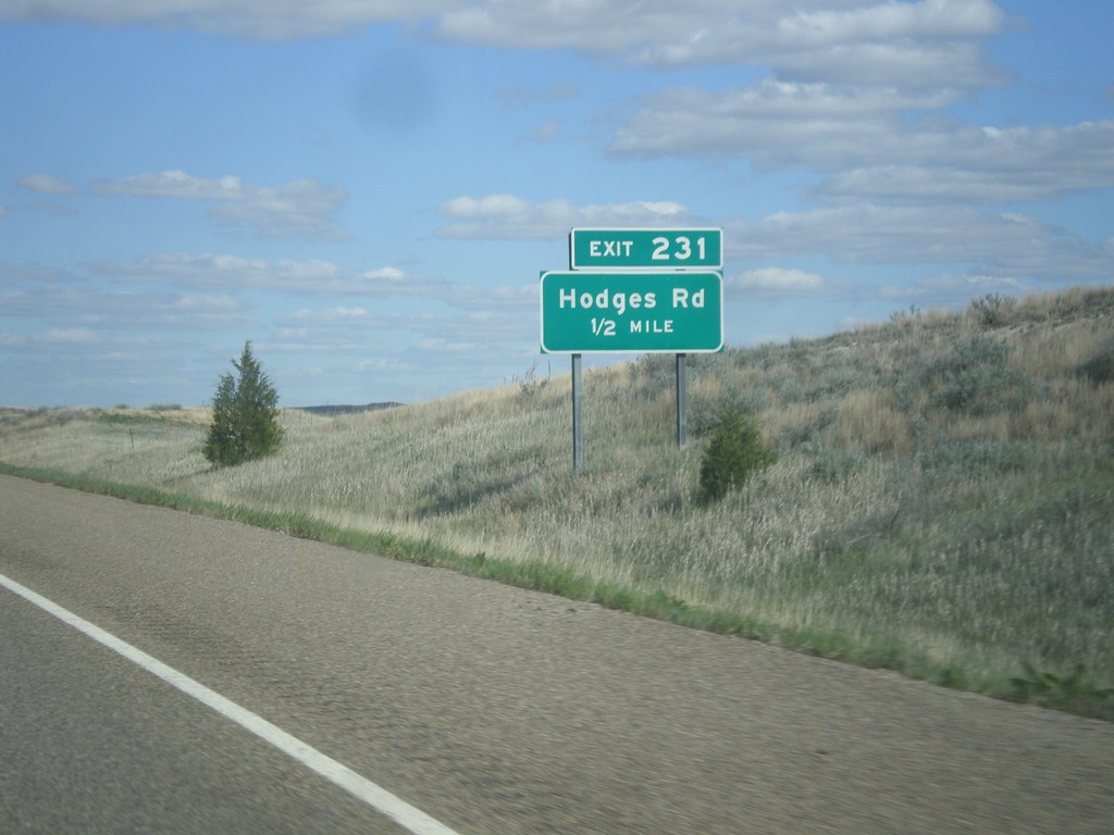
I-94 East - Exit 231
I-94 east approaching Exit 231 - Hodges Road.
Taken 05-14-2016
 Glendive
Dawson County
Montana
United States
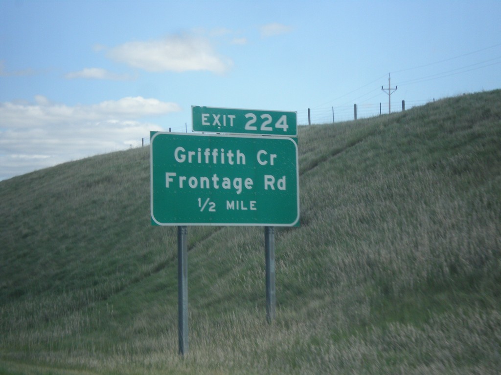
I-94 East - Exit 224
I-94 East approaching Exit 224 - Griffith Creek/Frontage Road.
Taken 05-14-2016
 Glendive
Dawson County
Montana
United States
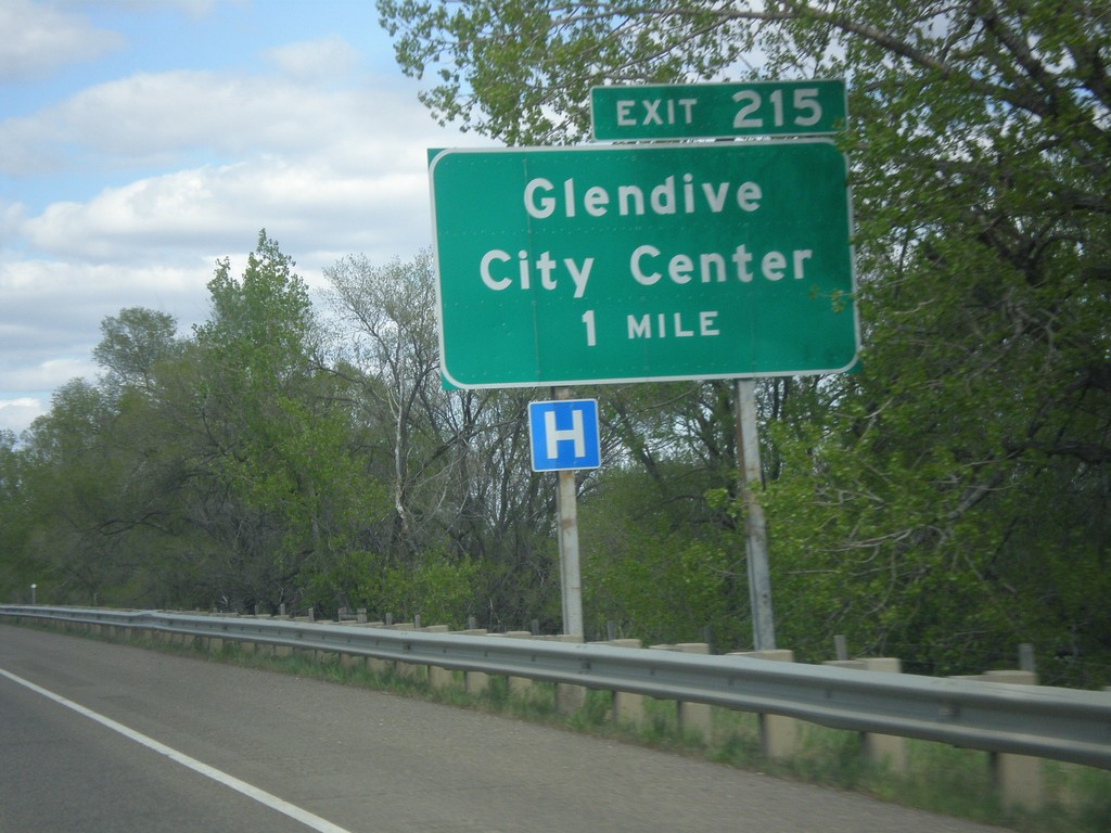
I-94 East - Exit 215
I-94 east approaching Exit 215 - Glendive City Center. This is the eastern end of the Glendive business loop.
Taken 05-14-2016
 Glendive
Dawson County
Montana
United States
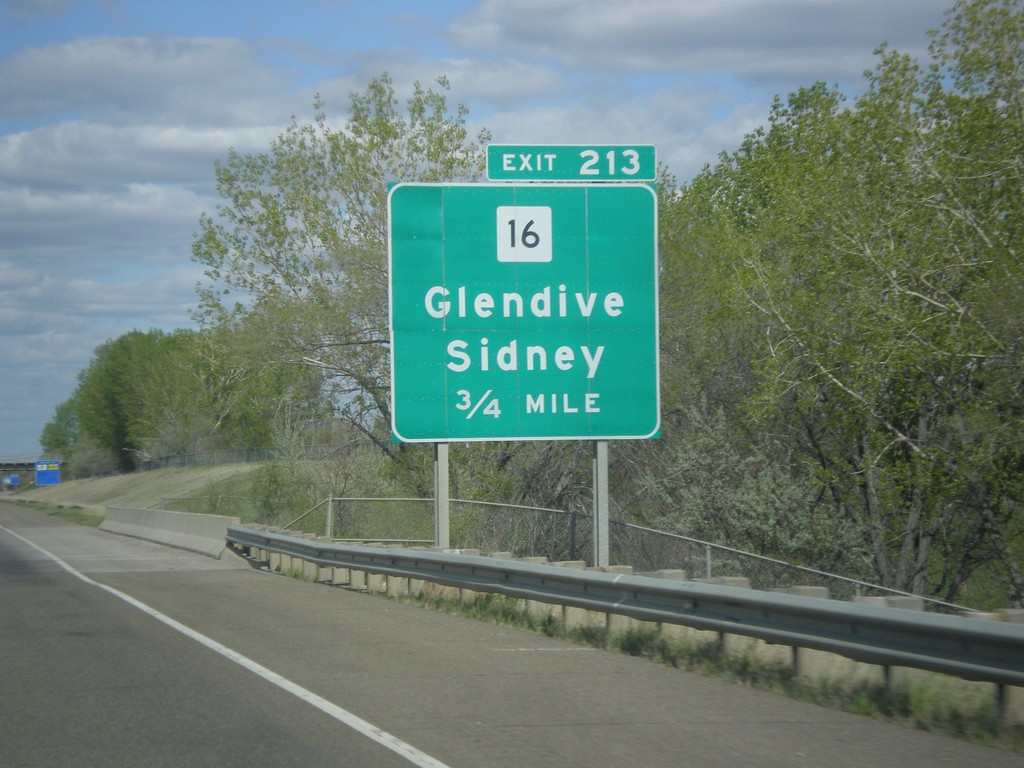
I-94 East - Exit 213
I-94 east approaching Exit 213 - MT-16/Glendive/Sidney.
Taken 05-14-2016
 Glendive
Dawson County
Montana
United States
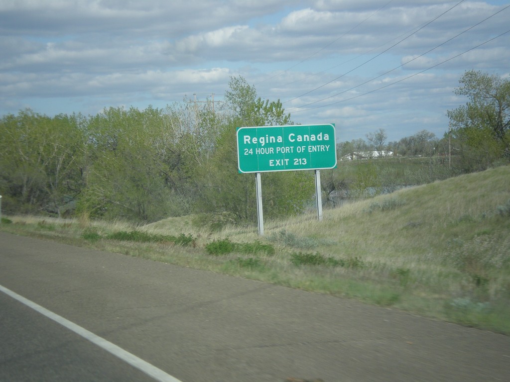
I-94 East - Use Exit 213 for Regina Canada
I-94 east approaching Exit 213. Use Exit 213 for Regina, Canada (via MT-16 North).
Taken 05-14-2016

 Glendive
Dawson County
Montana
United States
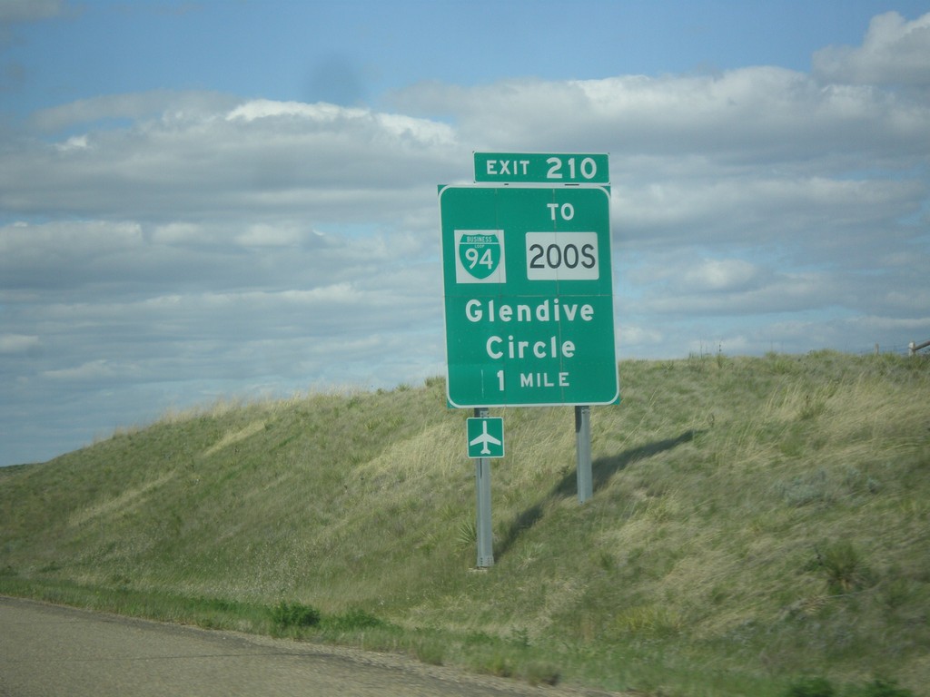
I-94 East - Exit 210
I-94 east approaching Exit 210 - BL-94/To MT-200S/Glendive/Circle. This is the western end of the Glendive business loop.
Taken 05-14-2016


 Glendive
Dawson County
Montana
United States
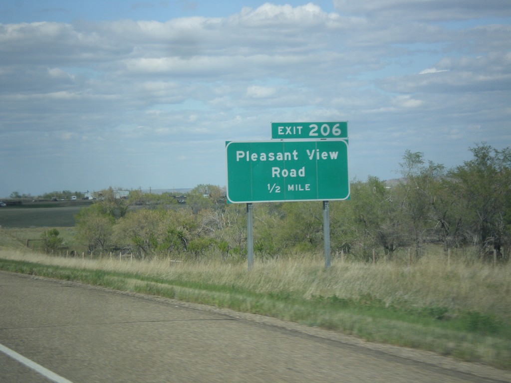
I-94 East - Exit 206
I-94 east approaching Exit 206 - Pleasant View Road.
Taken 05-14-2016
 Glendive
Dawson County
Montana
United States
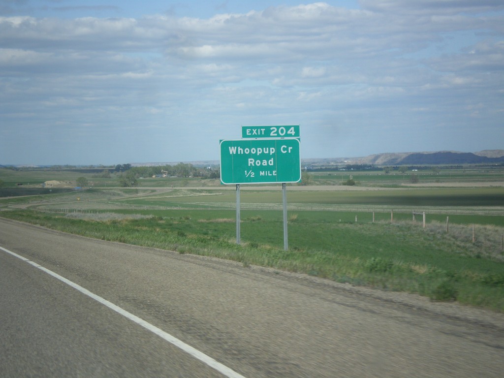
I-94 East - Exit 204
I-94 east approaching Exit 204 - Whoopup Creek Road.
Taken 05-14-2016
 Glendive
Dawson County
Montana
United States
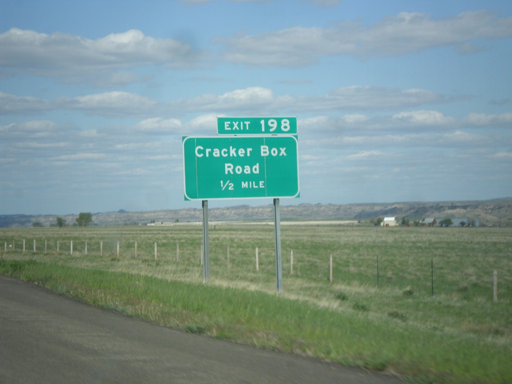
I-94 East - Exit 198
I-94 east approaching Exit 198 - Cracker Box Road.
Taken 05-14-2016
 Hoyt
Dawson County
Montana
United States