Signs Tagged With Interchange
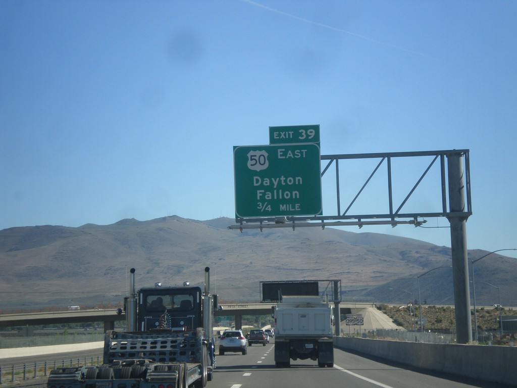
US-395 North/US-50 East - Exit 39
US-395 North/US-50 East approaching Exit 39 - US-50 East/Dayton/Fallon.
Taken 06-15-2015

 Carson City
Nevada
United States
Carson City
Nevada
United States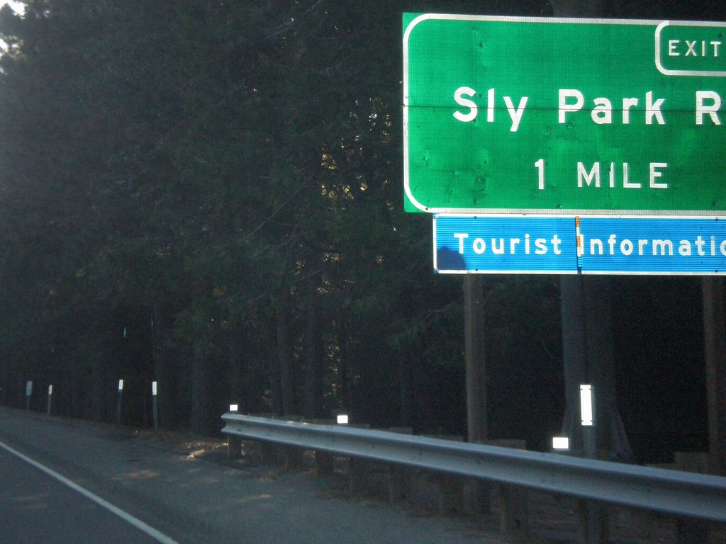
US-50 East - Exit 60
US-50 east approaching Exit 60 - Sly Park Road.
Taken 06-15-2015
Pollock Pines
El Dorado County
California
United States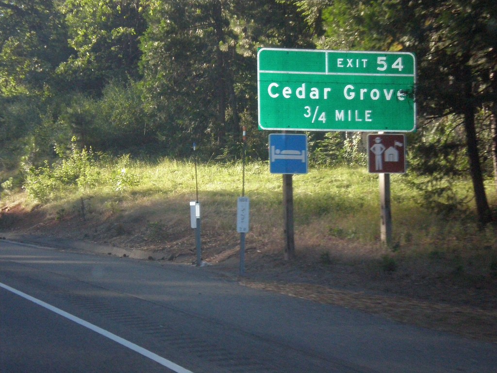
US-50 East - Exit 54
US-50 east approaching Exit 54 - Cedar Grove.
Taken 06-15-2015
Camino
El Dorado County
California
United States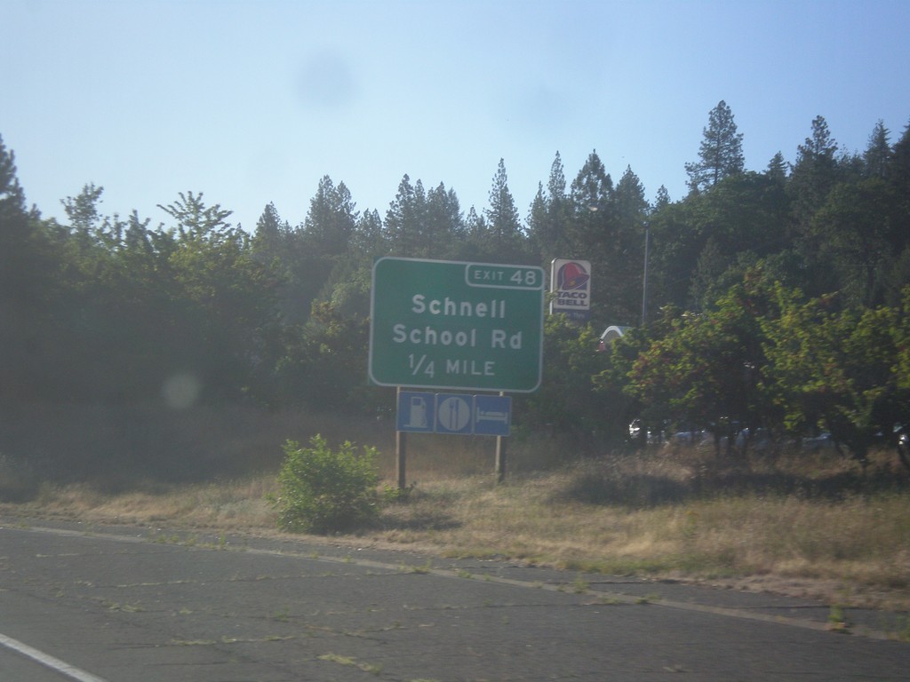
US-50 East - Exit 48
US-50 east approaching Exit 48 - Schnell School Road.
Taken 06-15-2015
Placerville
El Dorado County
California
United States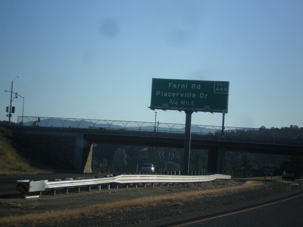
US-50 East - Exit 44B
US-50 east approaching Exit 44B - Forni Road/Placerville Drive.
Taken 06-15-2015
Perks Corner
El Dorado County
California
United States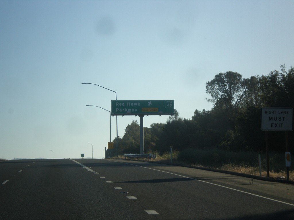
US-50 East - Exit 40
US-50 east at Exit 40 - Red Hawk Parkway.
Taken 06-15-2015
Shingle Springs
El Dorado County
California
United States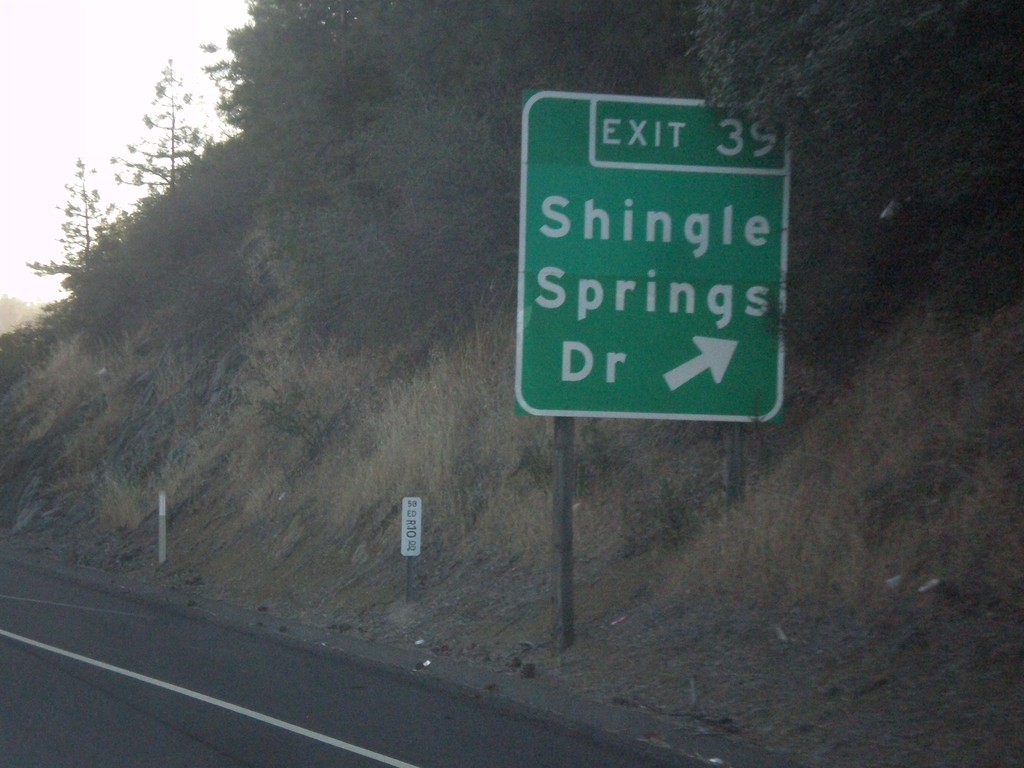
US-50 East - Exit 39
US-50 east at Exit 39 - Shingle Springs Drive.
Taken 06-15-2015
Shingle Springs
El Dorado County
California
United States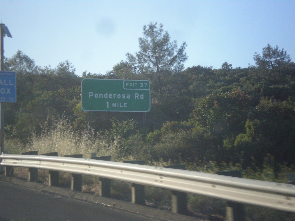
US-50 East - Exit 37
US-50 east approaching Exit 37 - Ponderosa Drive.
Taken 06-15-2015
Shingle Springs
El Dorado County
California
United States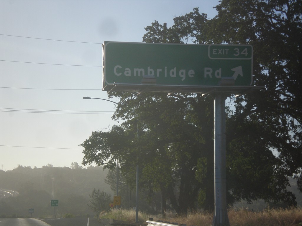
US-50 East - Exit 34
US-50 east at Exit 34 - Cambridge Road.
Taken 06-15-2015
Cameron Park
El Dorado County
California
United States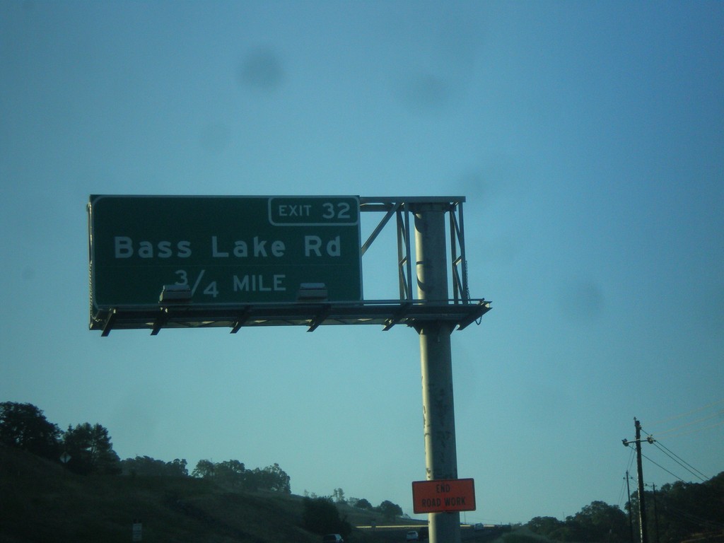
US-50 East - Exit 32
US-50 east approaching Exit 32 - Bass Lake Road.
Taken 06-15-2015
El Dorado Hills
El Dorado County
California
United States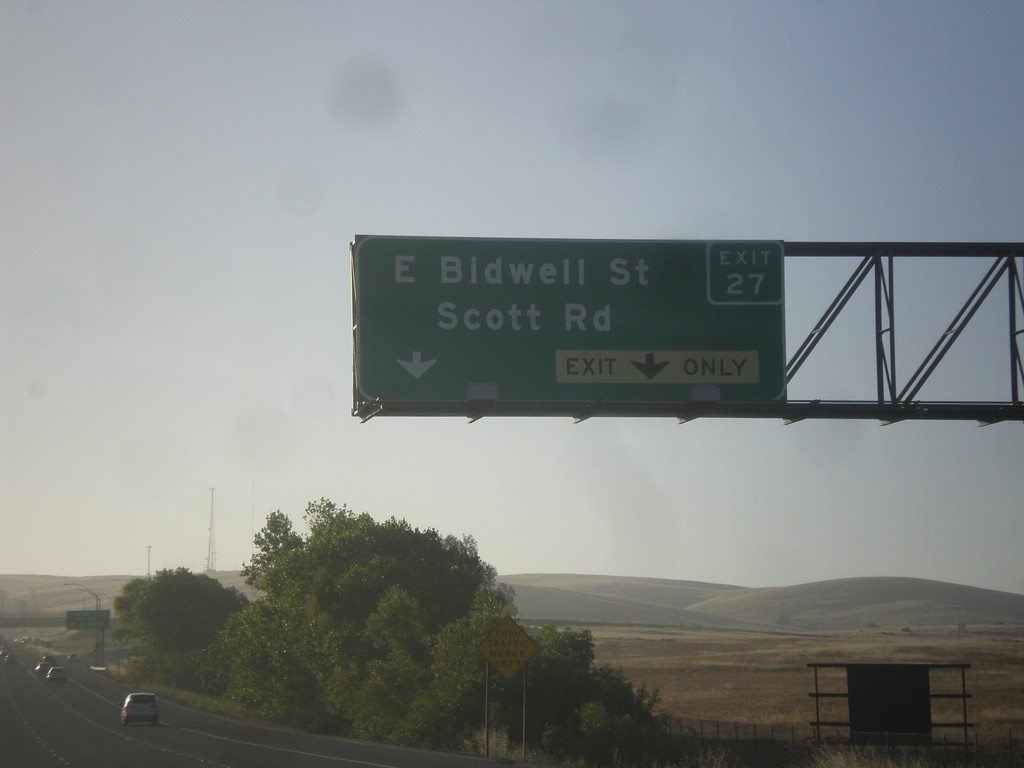
US-50 East - Exit 27
US-50 east at Exit 27 - E. Bidwell St./Scott Rd.
Taken 06-15-2015
Folsom
Sacramento County
California
United States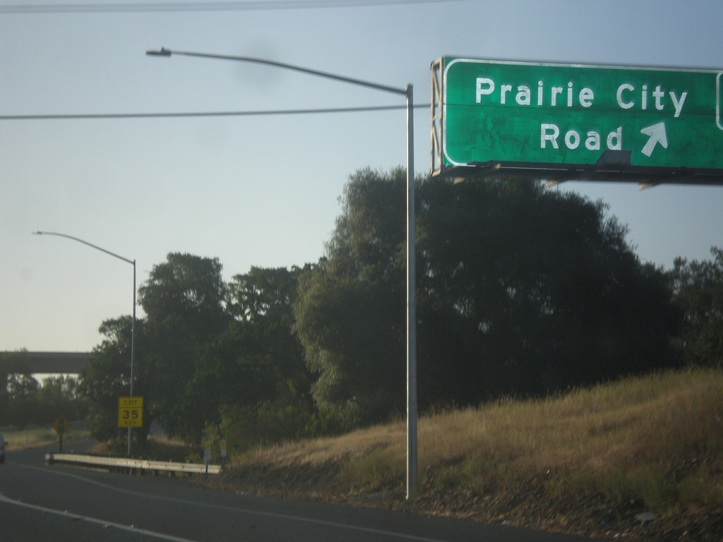
US-50 East - Exit 25
US-50 east at Exit 25 - Prairie City Road.
Taken 06-15-2015
Folsom
Sacramento County
California
United States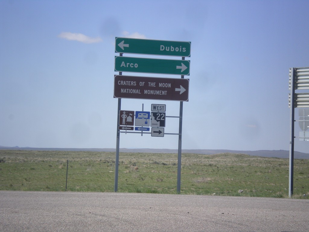
I-15 South Offramp at ID-22
I-15 south (Exit 167) offramp at ID-22. Turn right for ID-22 west to Craters of the Moon National Monument and Arco. Turn left for Dubois.
Taken 05-10-2015


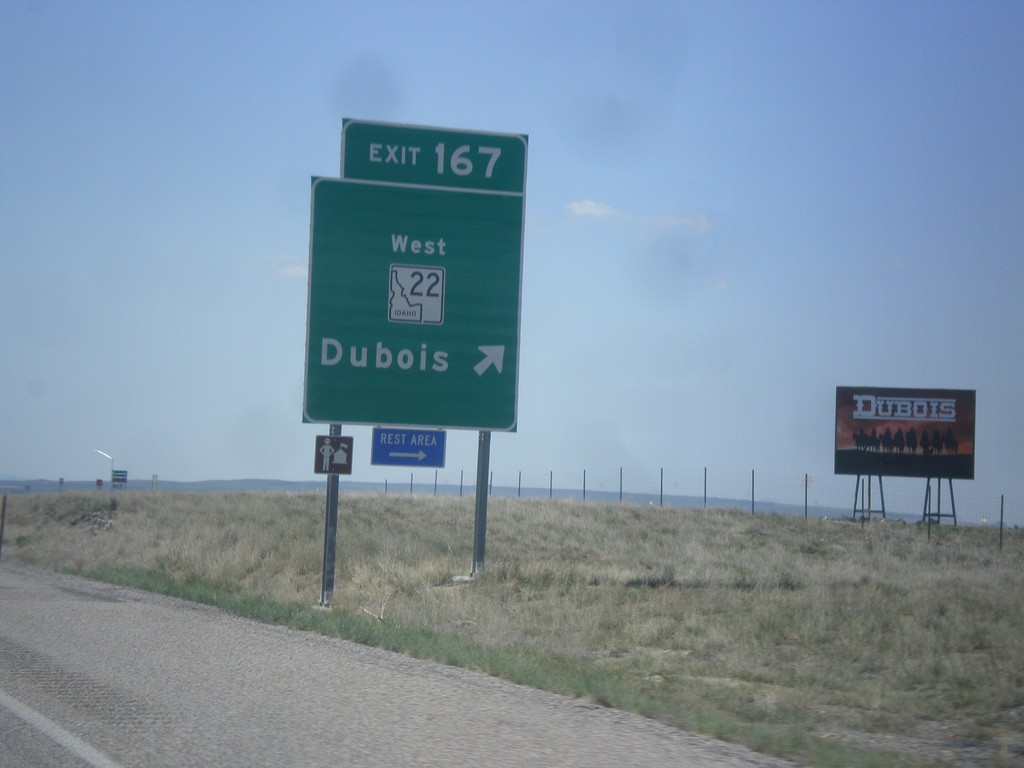
I-15 South - Exit 167
I-15 south at Exit 167 - ID-22 West/Dubois.
Taken 05-10-2015
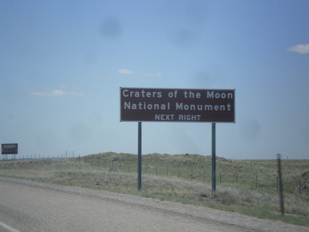
I-15 South Approaching Exit 167
I-15 south approaching Exit 167. Use Exit 167 for Craters of the Moon National Monument.
Taken 05-10-2015
Dubois
Clark County
Idaho
United States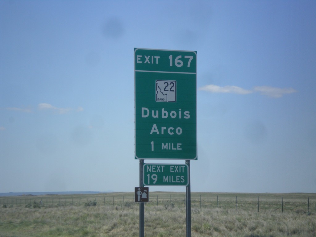
I-15 South - Exit 167
I-15 South approaching Exit 167 - ID-22/Dubois/Arco. The actual sign at the exit omits Arco from the destination.
Taken 05-10-2015
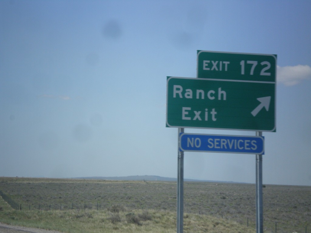
I-15 South - Exit 172
I-15 south approaching Exit 172 - Ranch Exit. The destination Ranch Exit was assigned to this interchange, after years of no have a destination. Before no destination, the exit was marked US Sheep Experiment Station.
Taken 05-10-2015
Dubois
Clark County
Idaho
United States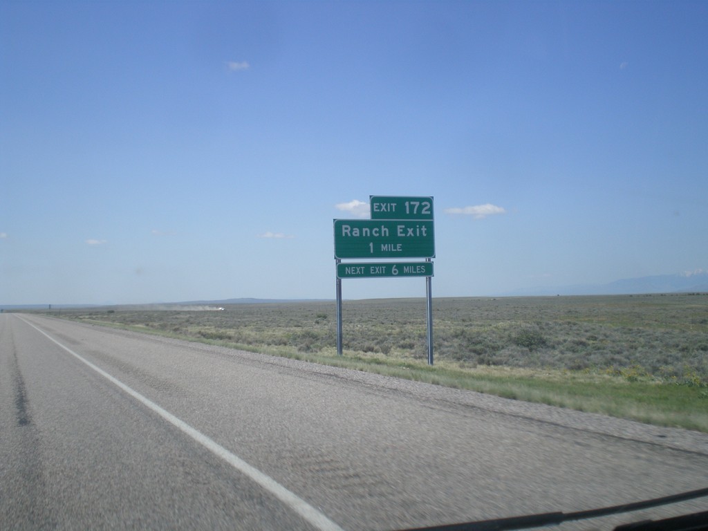
I-15 South - Exit 172
I-15 south approaching Exit 172 - Ranch Exit.
Taken 05-10-2015
Dubois
Clark County
Idaho
United States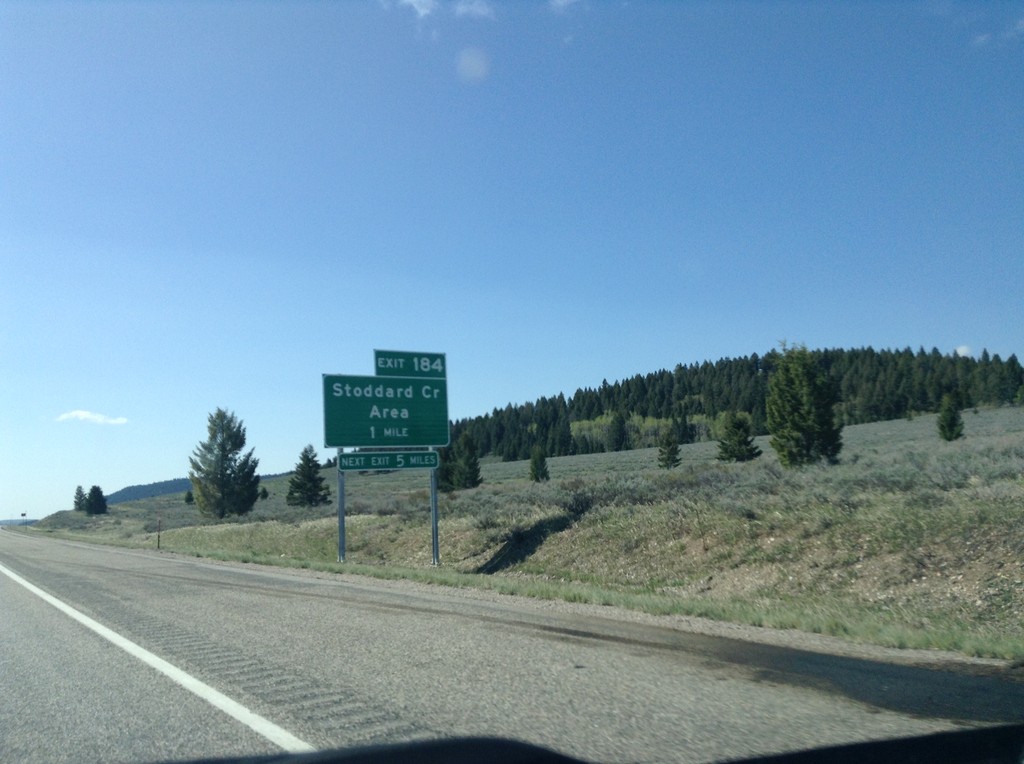
I-15 South - Exit 184
I-15 south approaching Exit 184 - Stoddard Creek Area
Taken 05-10-2015
Spencer
Clark County
Idaho
United States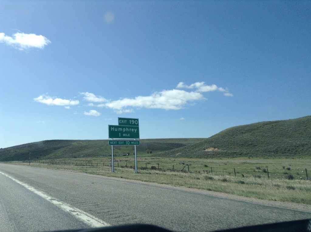
I-15 South - Exit 190
I-15 south approaching Exit 190 - Humphrey. This is the first exit on I-15 south in Idaho.
Taken 05-10-2015
Humphrey
Clark County
Idaho
United States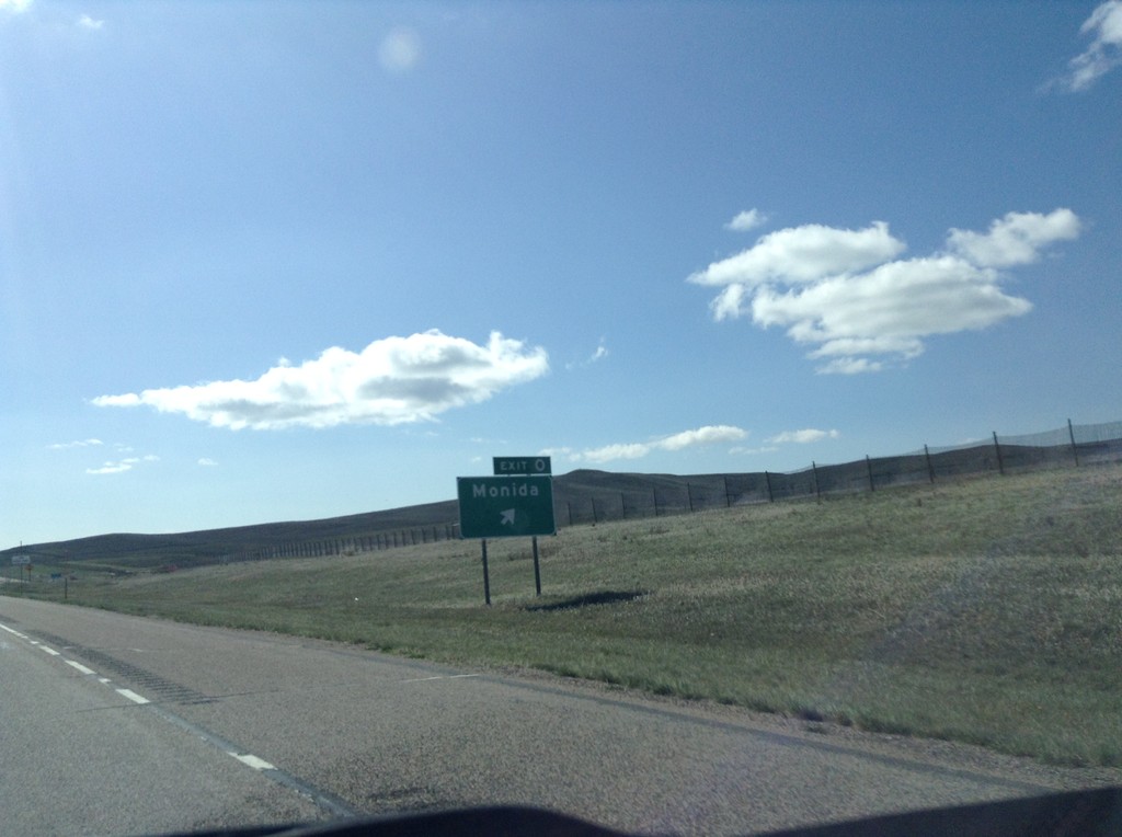
I-15 South - Exit 0
I-15 south at Exit 0 - Monida. This is the last exit southbound along I-15 in Montana.
Taken 05-10-2015
Monida
Beaverhead County
Montana
United States
I-15 South - Exit 9
I-15 south approaching Exit 9 - Snowline.
Taken 05-10-2015
Lima
Beaverhead County
Montana
United States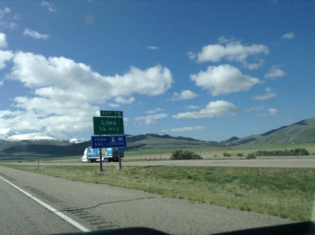
I-15 South - Exit 15
I-15 south approaching Exit 15 - Lima.
Taken 05-10-2015
Lima
Beaverhead County
Montana
United States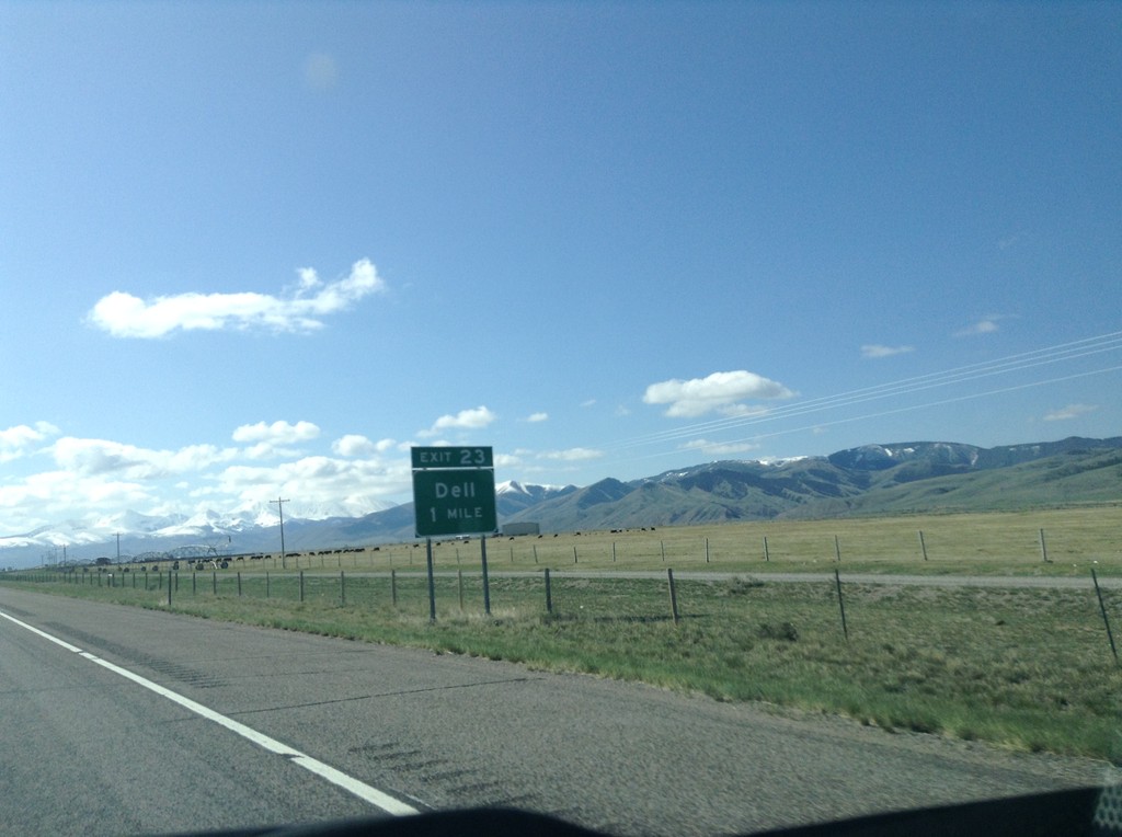
I-15 South - Exit 23
I-15 south approaching Exit 23 - Dell.
Taken 05-10-2015
Dillon
Beaverhead County
Montana
United States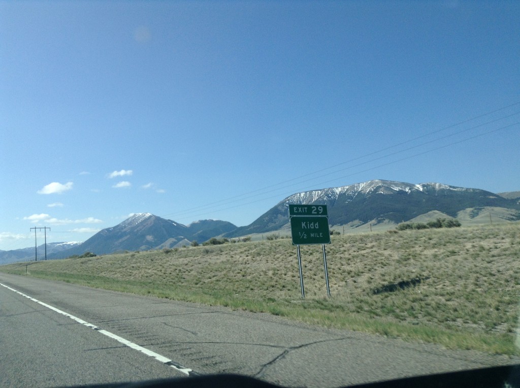
I-15 South - Exit 29
I-15 south approaching Exit 29 - Kidd.
Taken 05-10-2015
Dillon
Beaverhead County
Montana
United States