Signs Tagged With Interchange
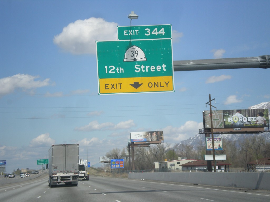
I-15 North/I-84 West - Exit 344
I-15 North/I-84 West approaching Exit 344 - UT-39/12th St.
Taken 03-31-2014


 West Haven
Weber County
Utah
United States
West Haven
Weber County
Utah
United States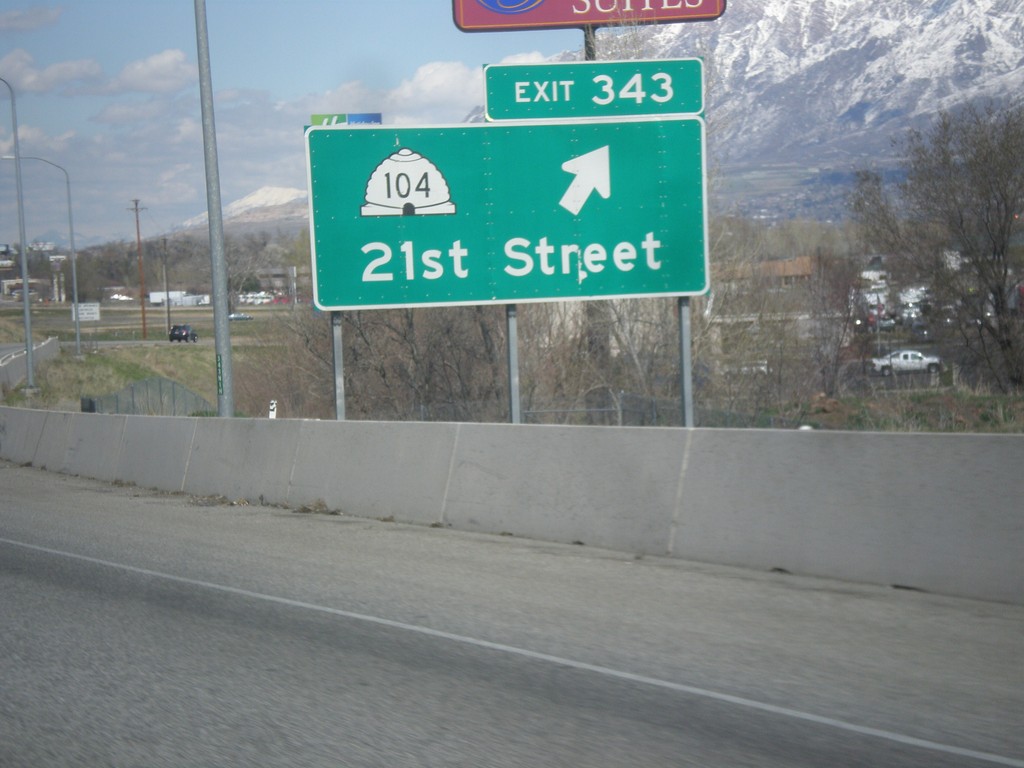
I-15 North/I-84 West - Exit 343
I-15 North/I-84 West at Exit 343 - UT-104/21st St.
Taken 03-31-2014
 Ogden
Weber County
Utah
United States
Ogden
Weber County
Utah
United States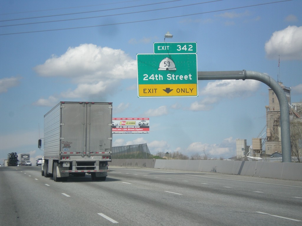
I-15 North/I-84 West - Exit 342
I-15 North/I-84 West approaching Exit 342 - UT-53/24th St.
Taken 03-31-2014
 Ogden
Weber County
Utah
United States
Ogden
Weber County
Utah
United States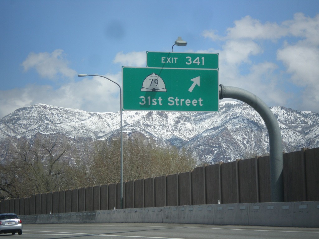
I-15 North - Exit 341
I-15 north at Exit 341 - UT-79/31st St.
Taken 03-31-2014
 Riverdale
Weber County
Utah
United States
Riverdale
Weber County
Utah
United States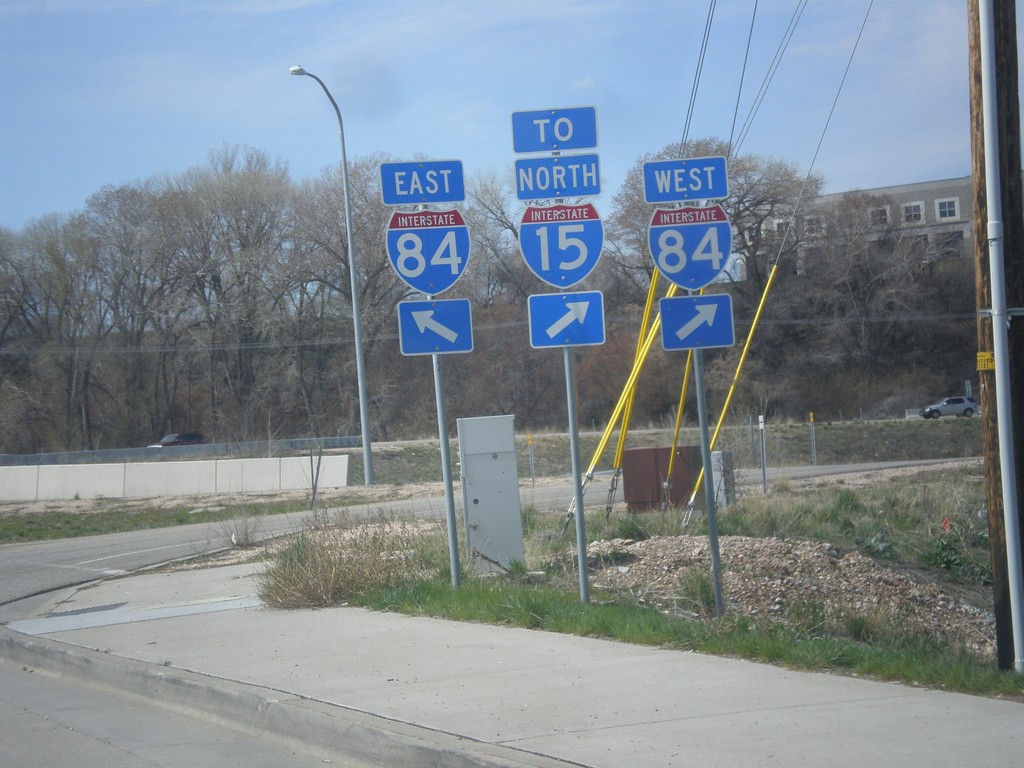
UT-26 West at I-84
UT-26 west at I-84. Turn right for I-84 West/To I-15 North. Continue over bridge for I-84 East.
Taken 03-31-2014
 Riverdale
Weber County
Utah
United States
Riverdale
Weber County
Utah
United States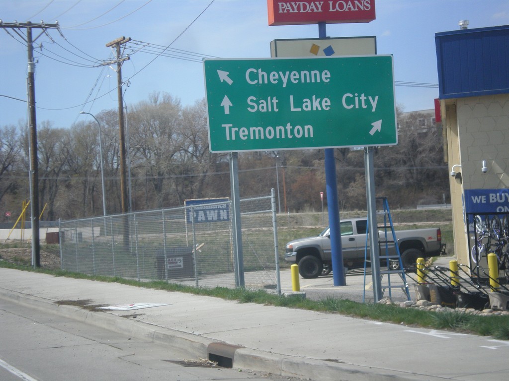
UT-26 West Approaching I-84
UT-26 West approaching I-84. Use I-84 west for Tremonton; I-84 east for Cheyenne (Wyoming). Continue west on UT-26 for Salt Lake City (via I-15 South).
Taken 03-31-2014
Riverdale
Weber County
Utah
United States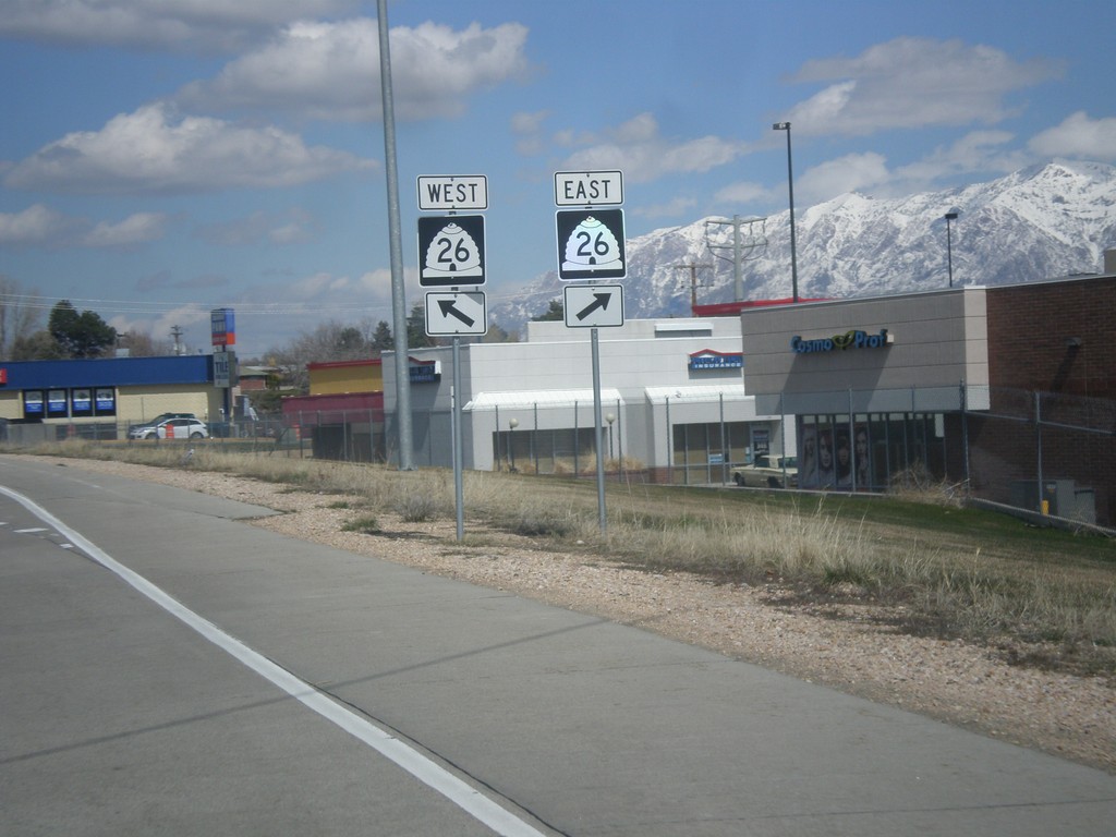
I-84 West - Exit 81 Offramp at UT-26
I-84 West offramp at UT-26.
Taken 03-31-2014
Riverdale
Weber County
Utah
United States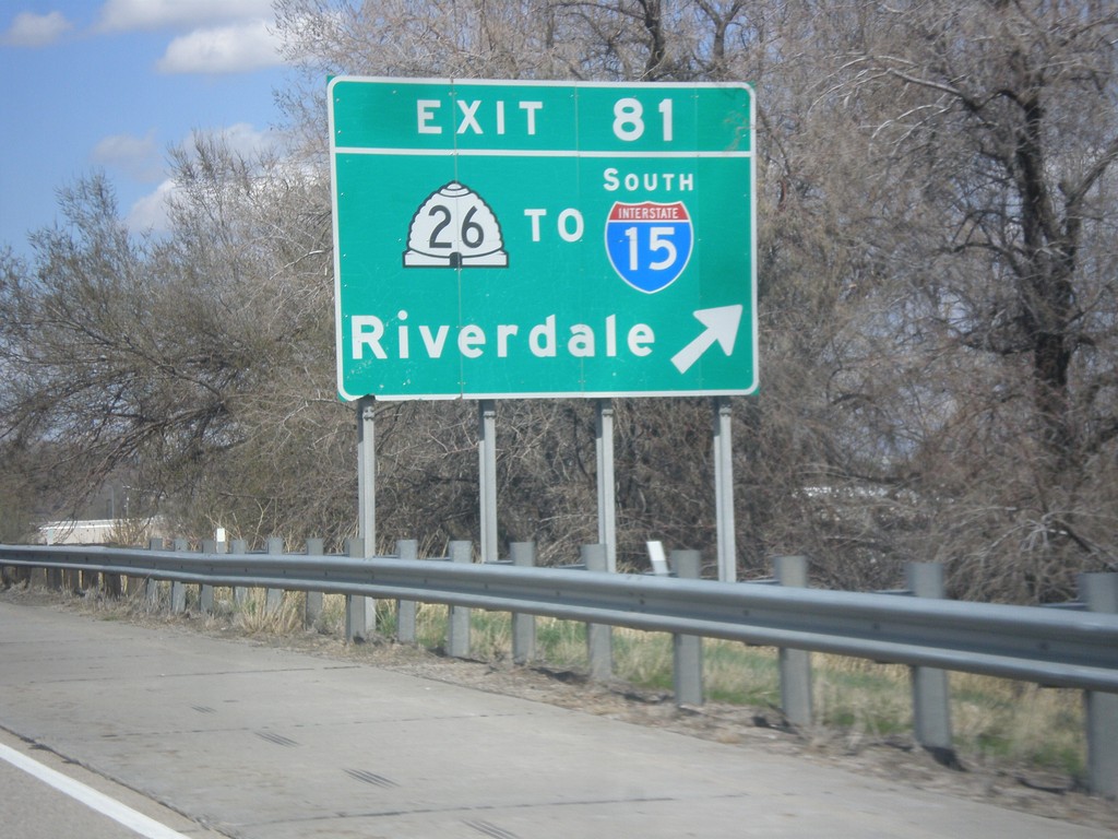
I-84 West - Exit 81
I-84 west at Exit 81 - UT-26/To I-15 South/Riverdale.
Taken 03-31-2014
Ogden
Weber County
Utah
United States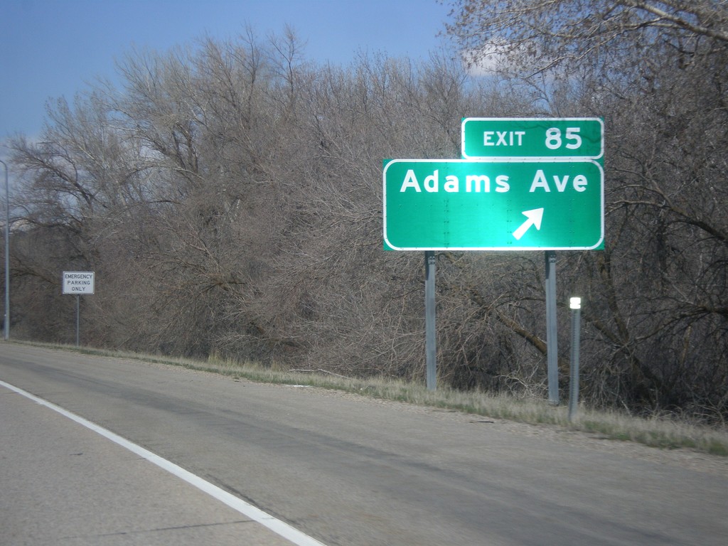
I-84 West - Exit 85
I-84 west at Exit 85 - Adams Ave.
Taken 03-31-2014
South Weber
Davis County
Utah
United States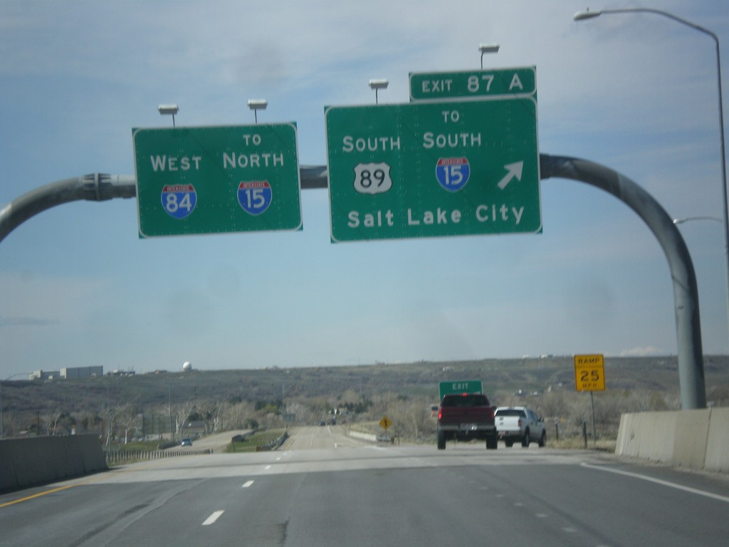
I-84 West - Exit 87A
I-84 west at Exit 87A - US-89 South/To I-15 South/Salt Lake City. Continue west on I-84 for I-15 North.
Taken 03-31-2014
 Uintah
Weber County
Utah
United States
Uintah
Weber County
Utah
United States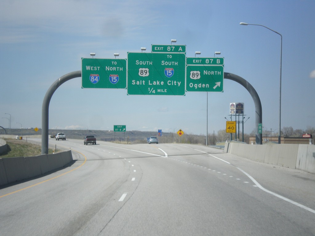
I-84 West - Exits 87A and 87B
I-84 west at Exit 87B - US-89 North/Ogden. Approaching US-89 South/To I-15 South/Salt Lake City. Continue west on I-84 for I-15 north.
Taken 03-31-2014
Uintah
Weber County
Utah
United States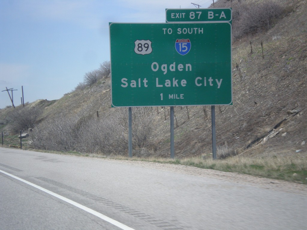
I-84 West - Exits 87A-B
I-84 west approaching Exits 87A-B - US-89/To I-15 South/Ogden/Salt Lake City.
Taken 03-31-2014
South Weber
Davis County
Utah
United States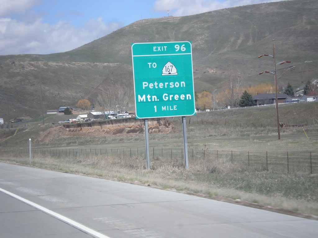
I-84 West - Exit 96
I-84 west approaching Exit 96 - To UT-167/Mountain Green/Peterson.
Taken 03-31-2014
 Morgan
 County
Utah
United States
Morgan
Morgan County
Utah
United States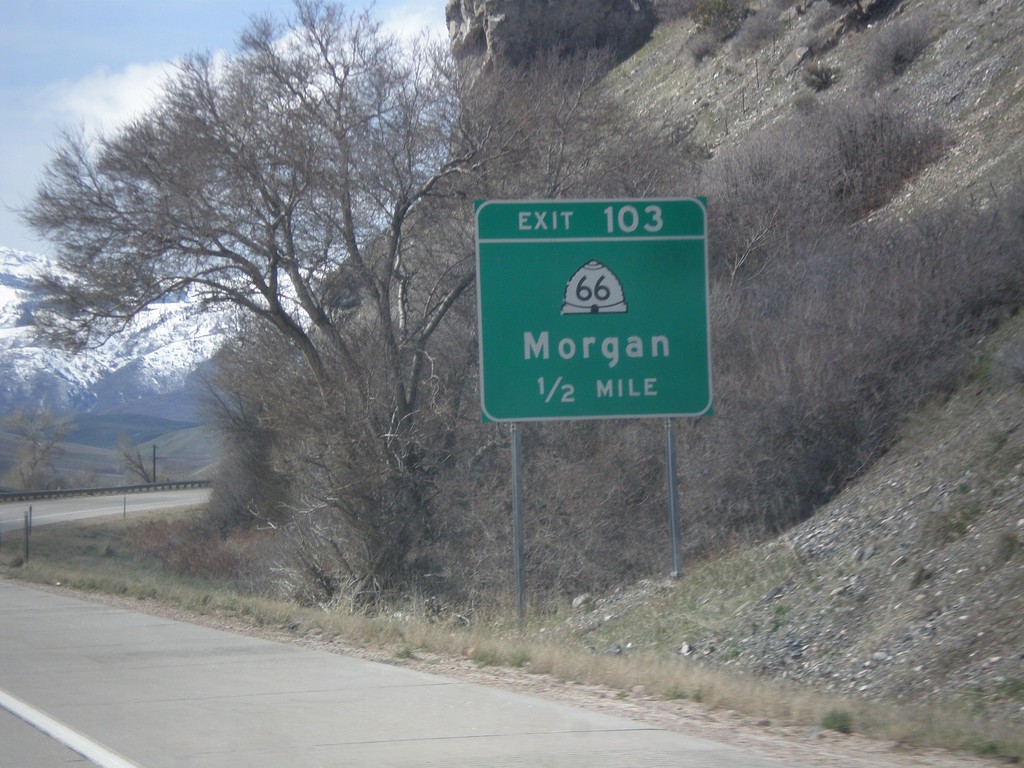
I-84 West - Exit 103
I-84 west approaching Exit 103 - UT-66/Morgan.
Taken 03-31-2014
 Morgan
 County
Utah
United States
Morgan
Morgan County
Utah
United States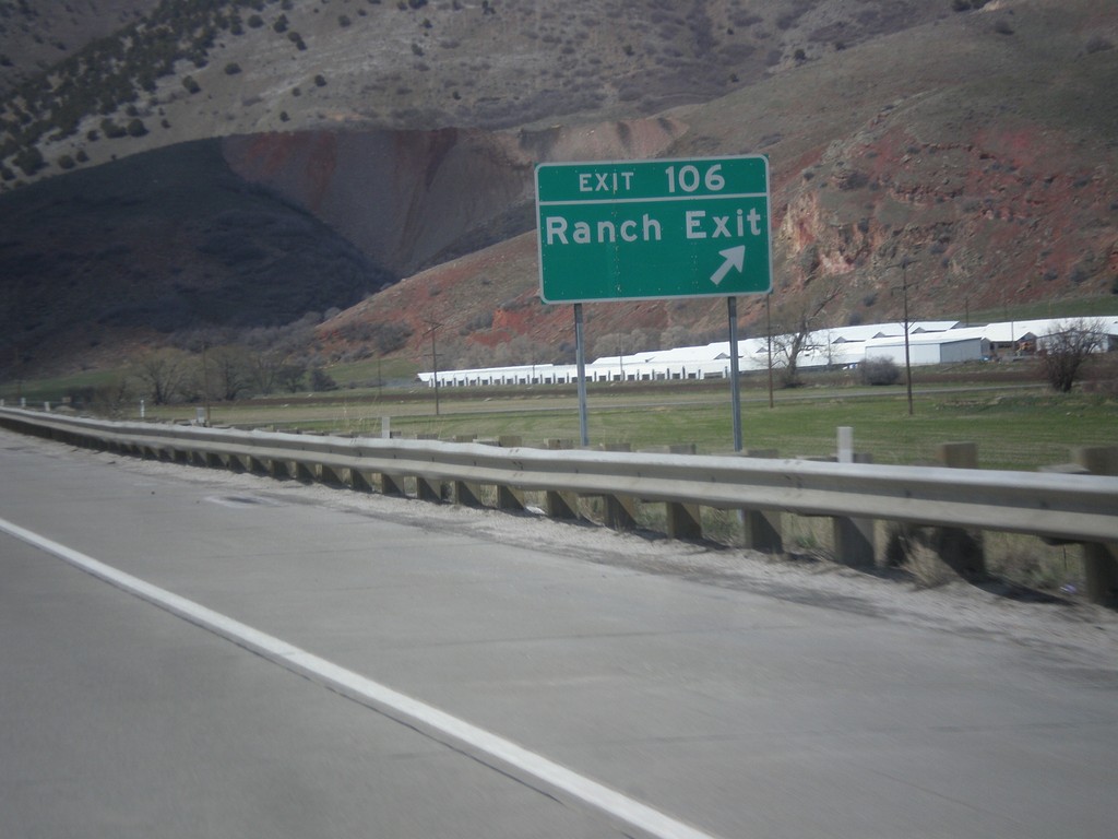
I-84 West - Exit 106
I-84 west at Exit 106 - Ranch Exit.
Taken 03-31-2014
Morgan
Morgan County
Utah
United States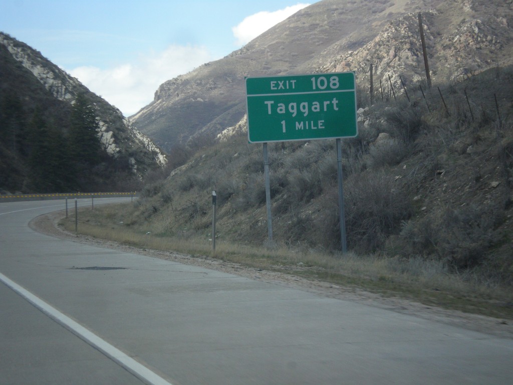
I-84 West - Exit 108
I-84 west approaching Exit 108 - Taggart.
Taken 03-31-2014
Morgan
Morgan County
Utah
United States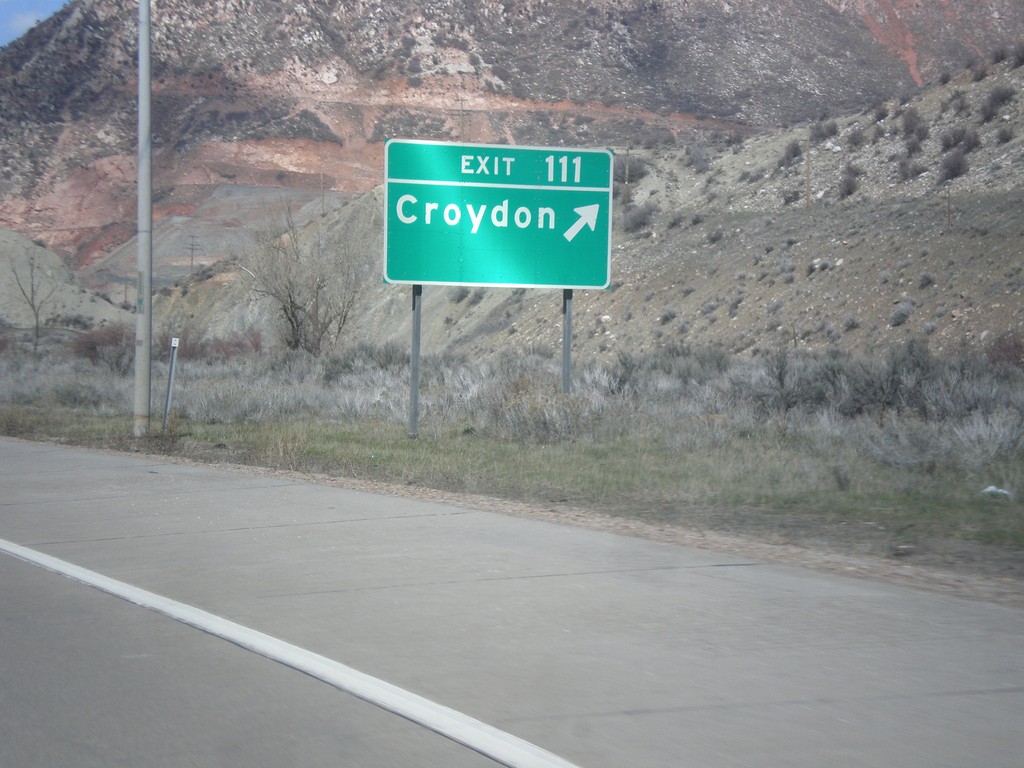
I-84 West - Exit 111
I-84 west at Exit 111 - Croydon.
Taken 03-31-2014
Croydon
Morgan County
Utah
United States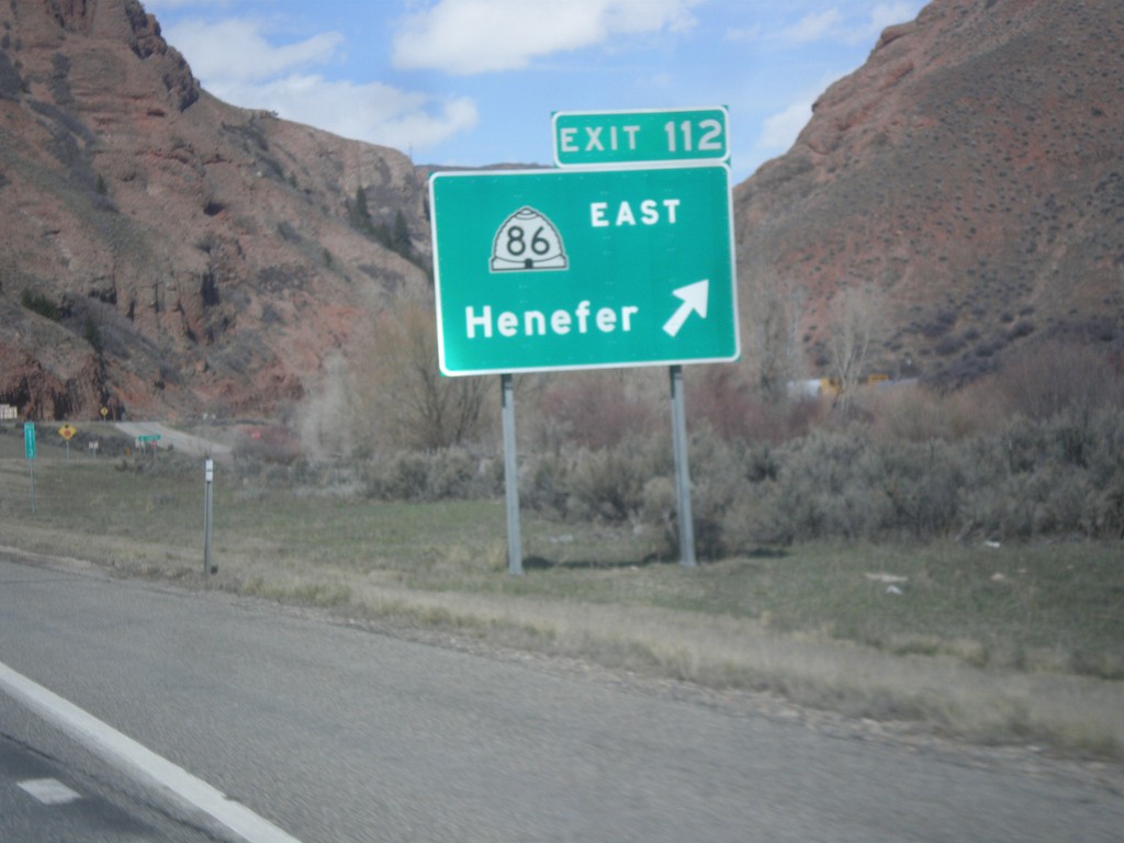
I-84 West - Exit 112
I-84 west at Exit 112 - UT-86 East/Henefer.
Taken 03-31-2014
 Henefer
Summit County
Utah
United States
Henefer
Summit County
Utah
United States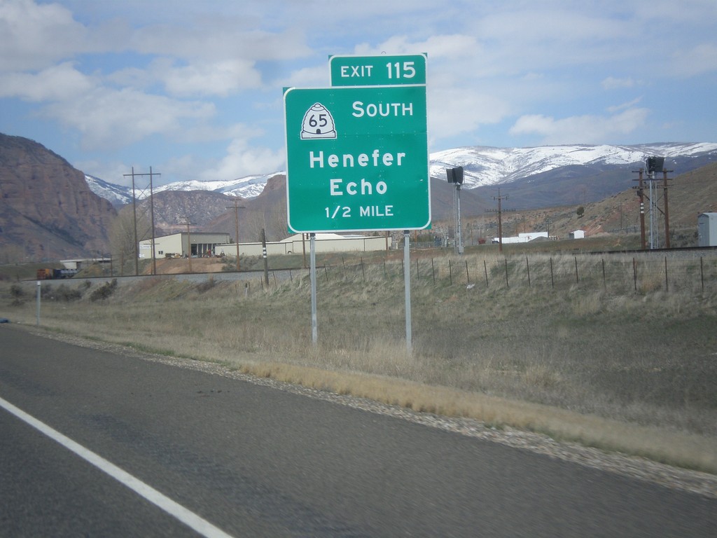
I-84 West - Exit 115
I-84 west at Exit 115 - UT-65 South/Henefer/Echo.
Taken 03-31-2014
 Henefer
Summit County
Utah
United States
Henefer
Summit County
Utah
United States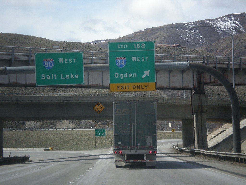
I-80 West at I-84
I-80 west at I-84 junction. Use Exit 168 for I-84 West/Ogden; continue west on I-80 for Salt Lake.
Taken 03-31-2014
 Echo
Summit County
Utah
United States
Echo
Summit County
Utah
United States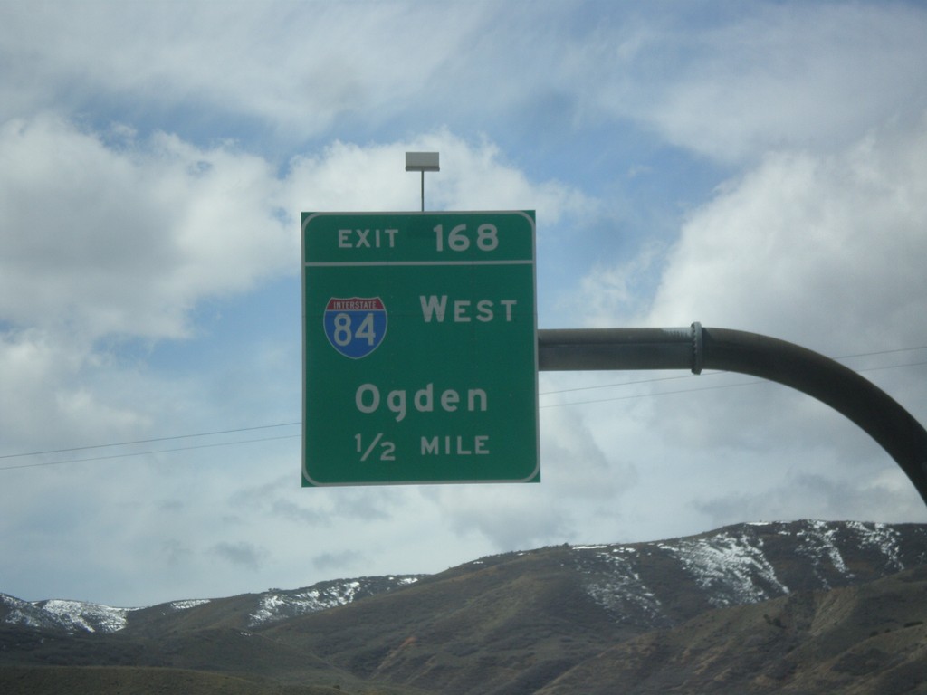
I-80 West - Exit 168
I-80 west approaching Exit 168 - I-84 West/Ogden.
Taken 03-31-2014
Coalville
Summit County
Utah
United States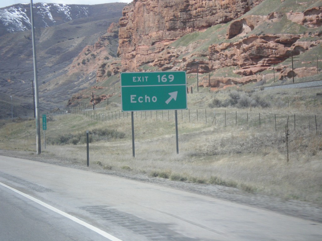
I-80 West - Exit 169
I-80 west at Exit 169 - Echo.
Taken 03-31-2014
Echo
Summit County
Utah
United States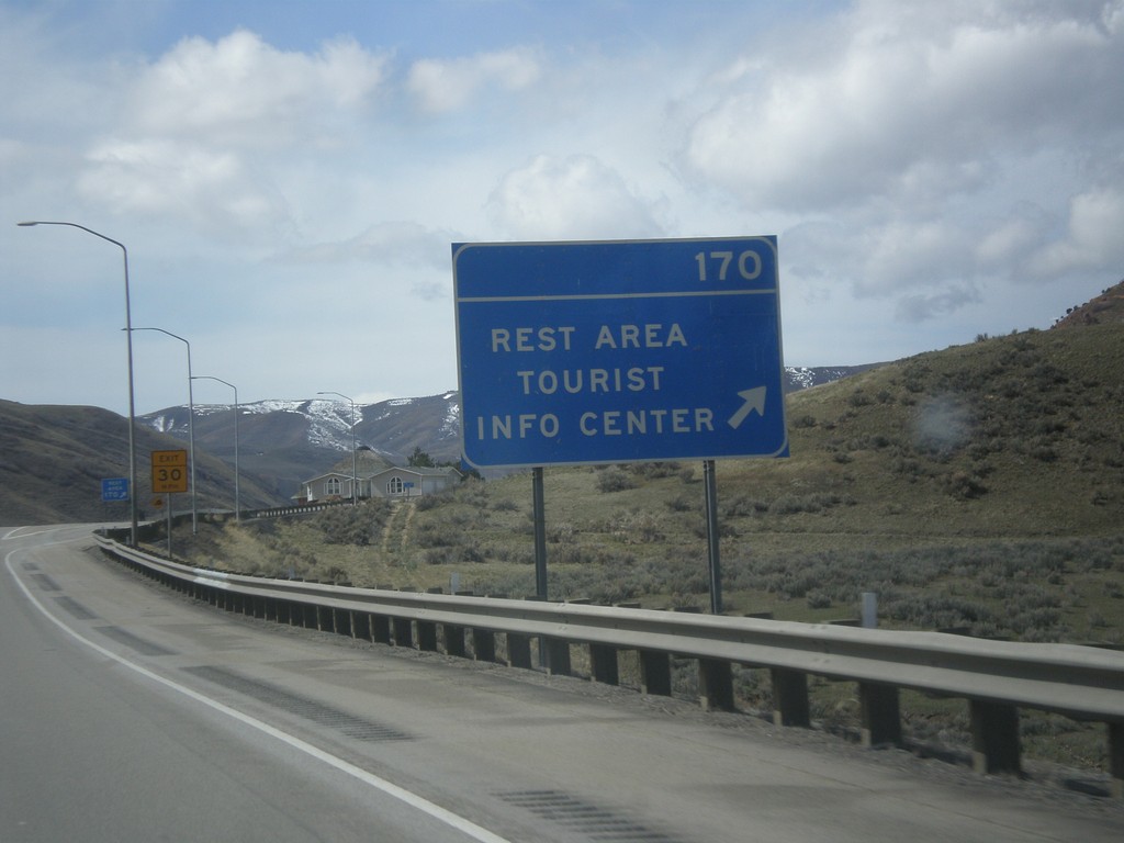
I-80 West - Exit 170
I-80 west at Exit 170 - Rest Area/Tourist Info Center.
Taken 03-31-2014
Echo
Summit County
Utah
United States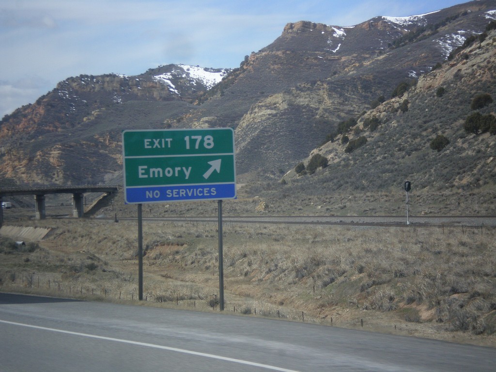
I-80 West - Exit 178
I-80 west at Exit 178 - Emery.
Taken 03-31-2014
Coalville
Summit County
Utah
United States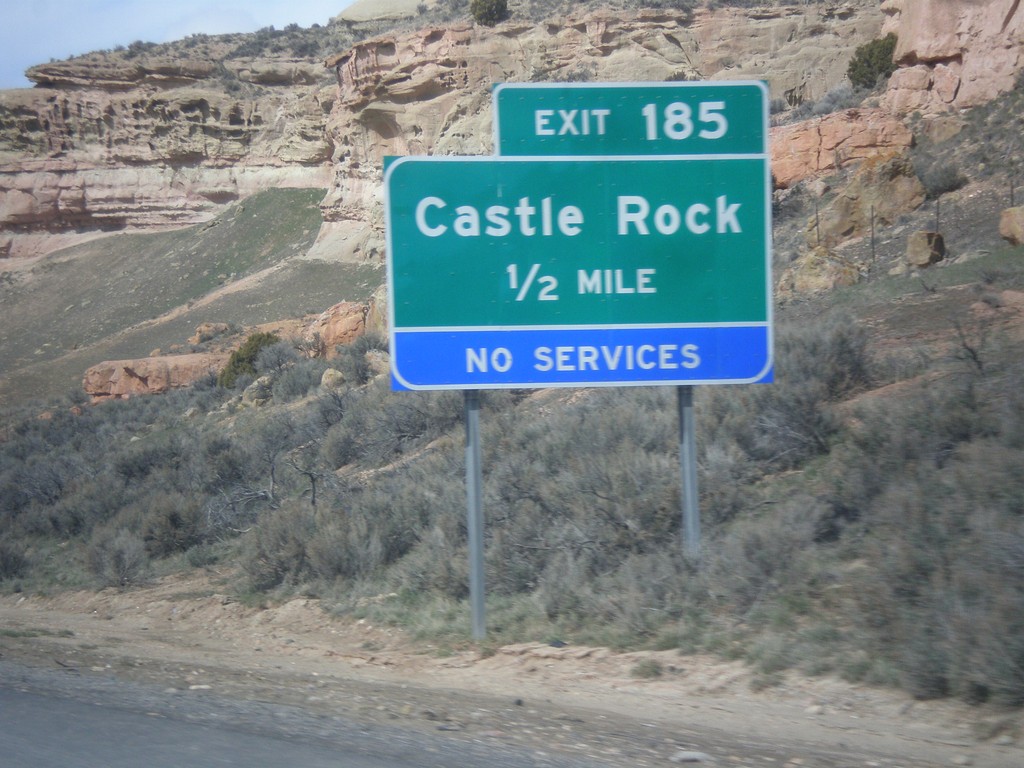
I-80 West - Exit 185
I-80 west approaching Exit 185 - Castle Rock.
Taken 03-31-2014
Coalville
Summit County
Utah
United States