Signs Tagged With Interchange
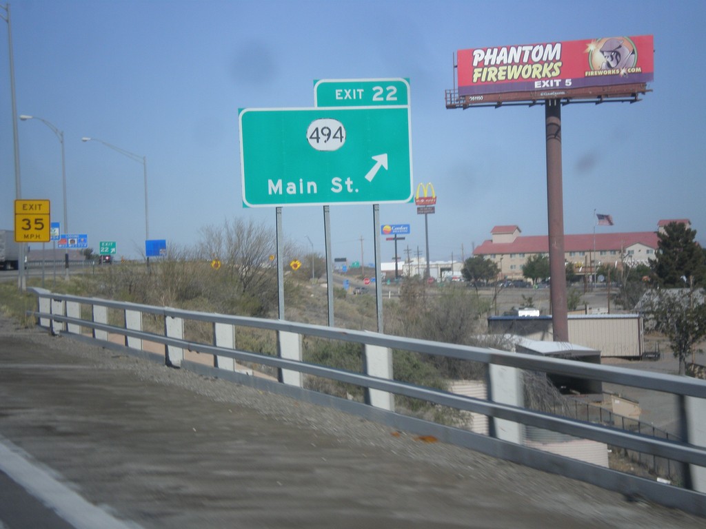
I-10 West - Exit 22
I-10 west at Exit 22 - NM-494/Main St.
Taken 04-14-2013

 Lordsburg
Hidalgo County
New Mexico
United States
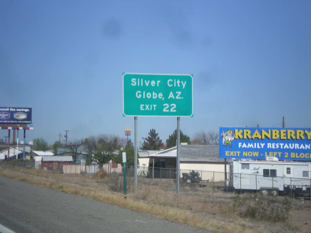
I-10 West Approaching Exit 22
I-10 west approaching Exit 22. Use Exit 22 for Silver City (via NM-90) and Globe, AZ (via US-70).
Taken 04-14-2013
 Lordsburg
Hidalgo County
New Mexico
United States
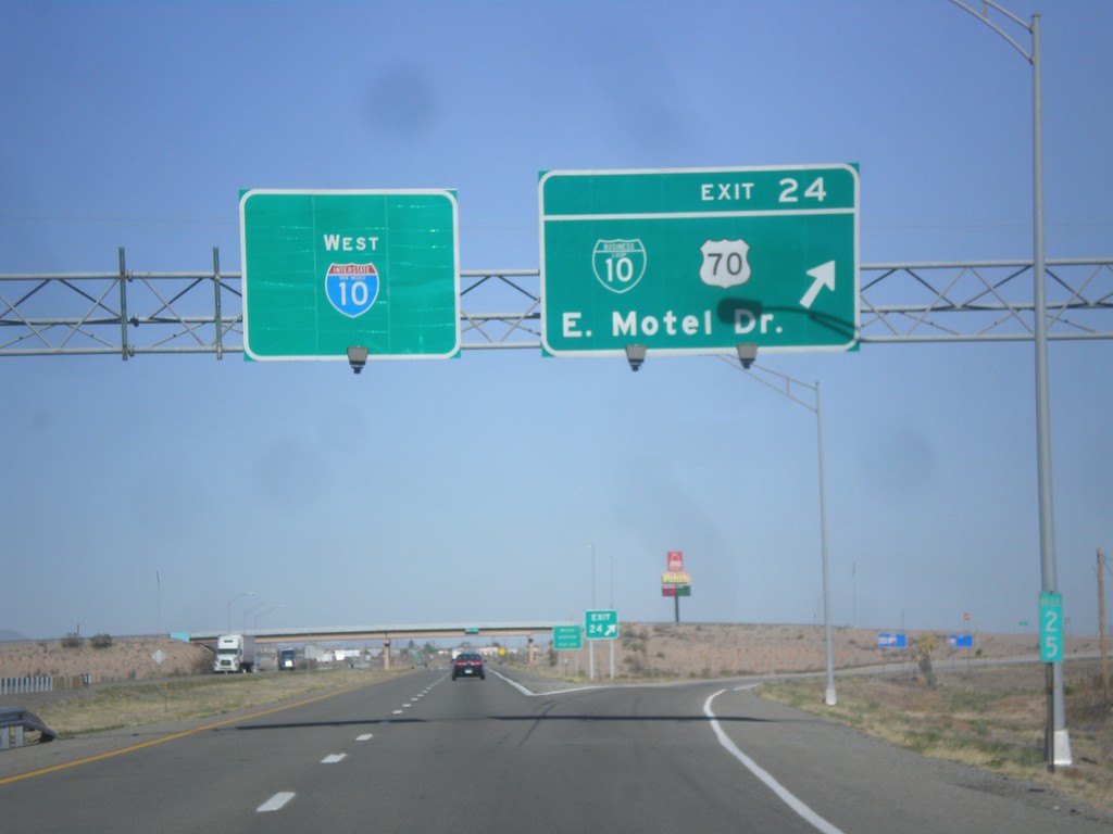
I-10 West - Exit 24
I-10 west at Exit 24 - BL-10/US-70/East Motel Drive.
Taken 04-14-2013


 Lordsburg
Hidalgo County
New Mexico
United States
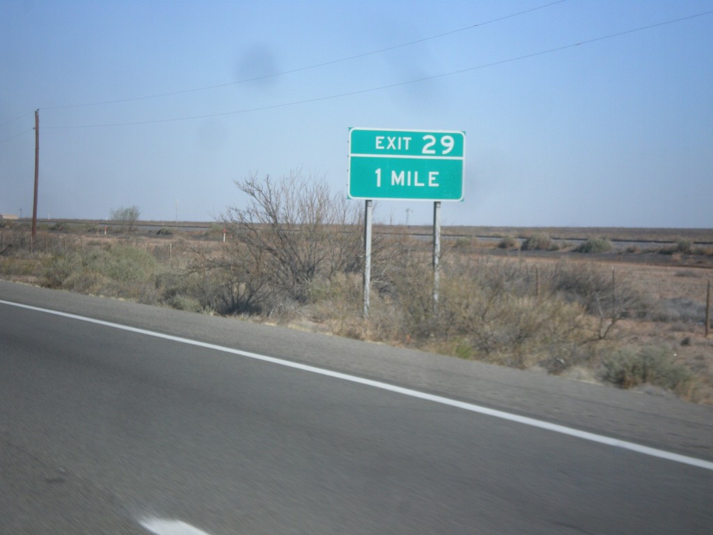
I-10 West - Exit 29
I-10 west approaching Exit 29.
Taken 04-14-2013
 Lordsburg
Hidalgo County
New Mexico
United States
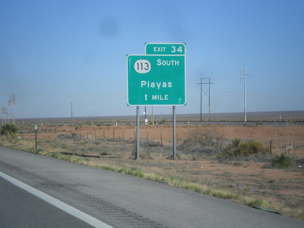
I-10 West - Exit 34
I-10 west approaching Exit 34 - NM-113 South/Playas.
Taken 04-14-2013

 Silver City
Grant County
New Mexico
United States
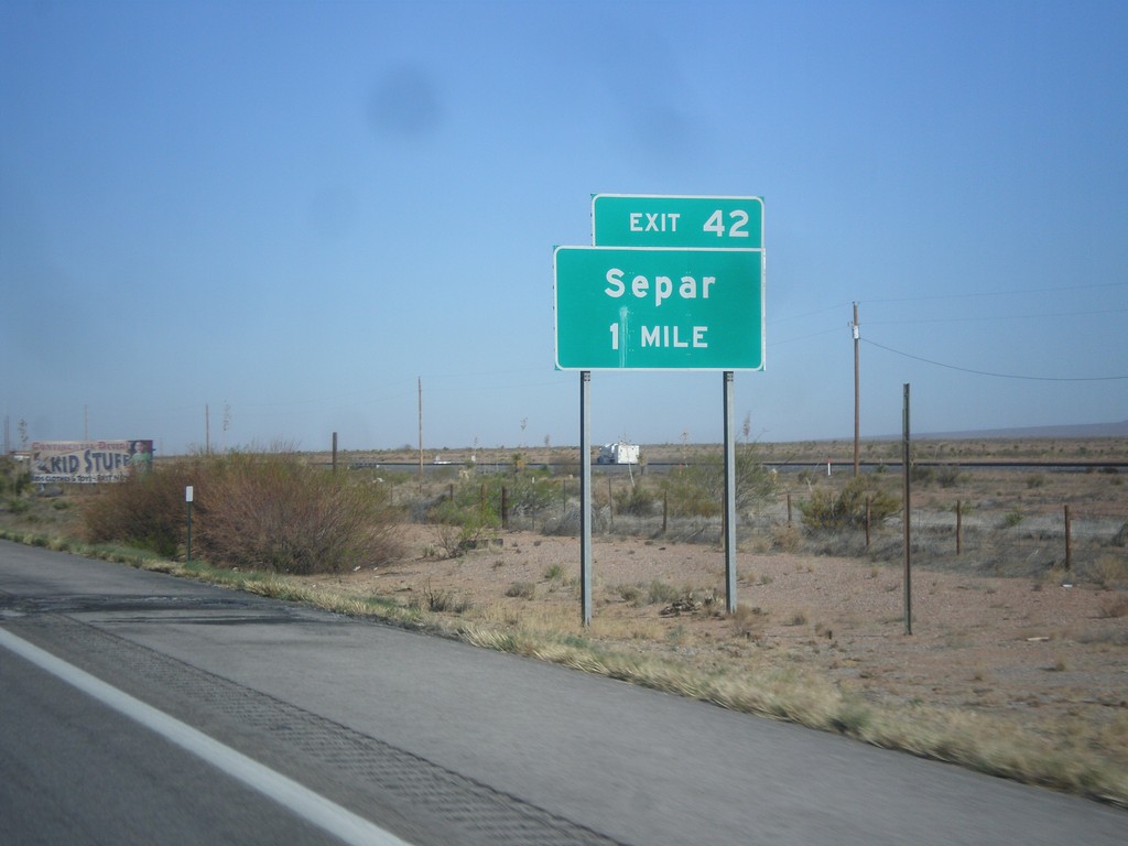
I-10 West - Exit 42
I-10 west at Exit 42 - Separ.
Taken 04-14-2013
 Silver City
Grant County
New Mexico
United States
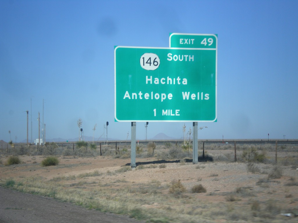
I-10 West - Exit 49
I-10 west approaching Exit 49 - NM-146 South/Hachita/Antelope Wells.
Taken 04-14-2013

 Deming
Grant County
New Mexico
United States
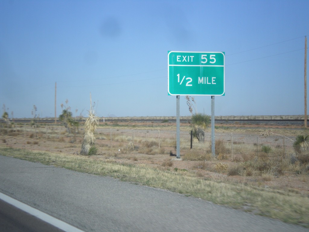
I-10 West - Exit 55
I-10 west approaching Exit 55. The previous advance sign for this exit signed it as Exit 55 - Quincy.
Taken 04-14-2013
 Deming
Luna County
New Mexico
United States
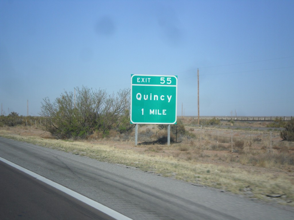
I-10 West - Exit 55
I-10 west approaching Exit 55 - Quincy.
Taken 04-14-2013
 Deming
Luna County
New Mexico
United States
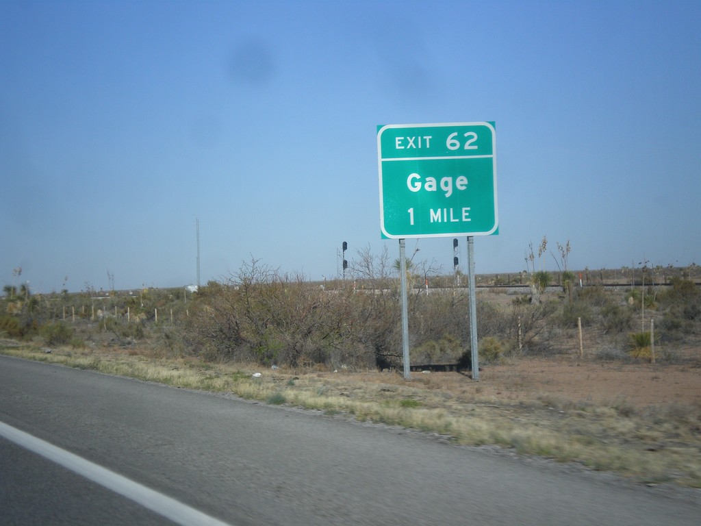
I-10 West - Exit 62
I-10 west approaching Exit 62 - Gage.
Taken 04-14-2013
 Deming
Luna County
New Mexico
United States
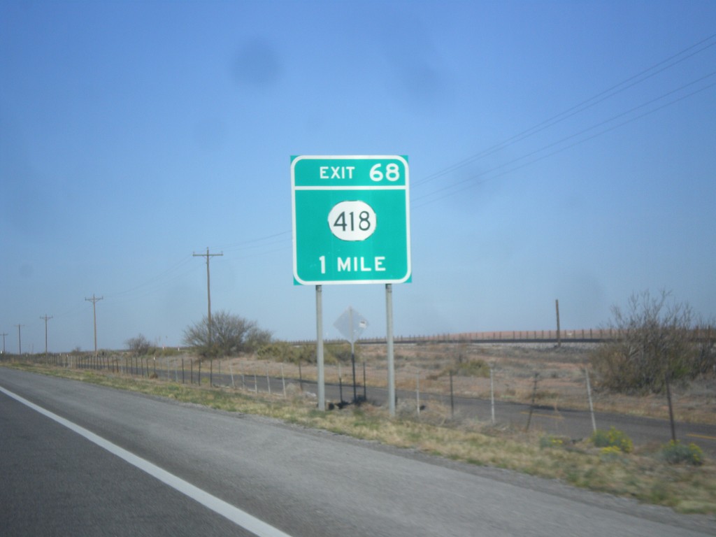
I-10 West - Exit 68
I-10 west approaching Exit 68 - NM-418.
Taken 04-14-2013

 Deming
Luna County
New Mexico
United States
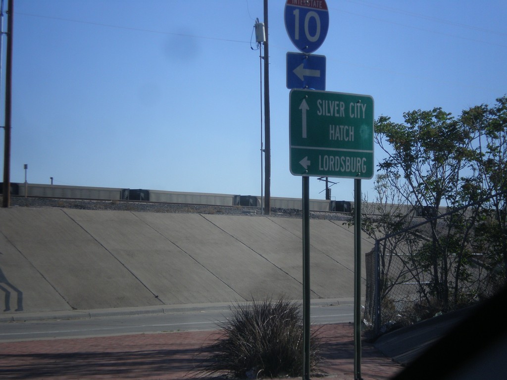
US-180 West/NM-26 East at I-10
US-180 West/NM-26 East at I-10 west. Turn left for I-10 west to Lordsburg. Continue straight for US-180 West/NM-26 East for Silver City and Hatch.
Taken 04-14-2013


 Deming
Luna County
New Mexico
United States
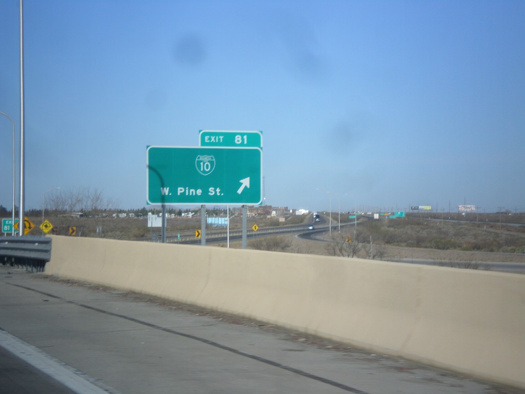
I-10 West - Exit 81
I-10 west at Exit 81 - BL-10/W. Pine St. This is the western end of the Deming business loop.
Taken 04-14-2013

 Deming
Luna County
New Mexico
United States
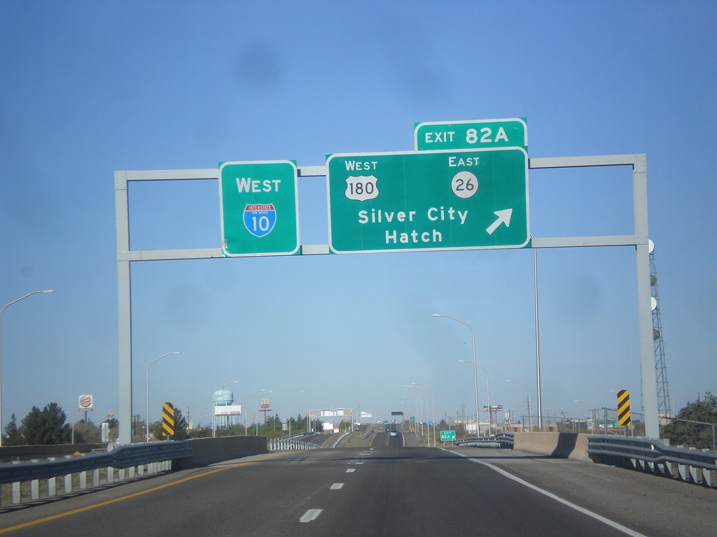
I-10 West - Exit 82A
I-10 west at Exit 82A - US-180 West/NM-26 East/Silver City/Hatch.
Taken 04-14-2013
 Deming
Luna County
New Mexico
United States
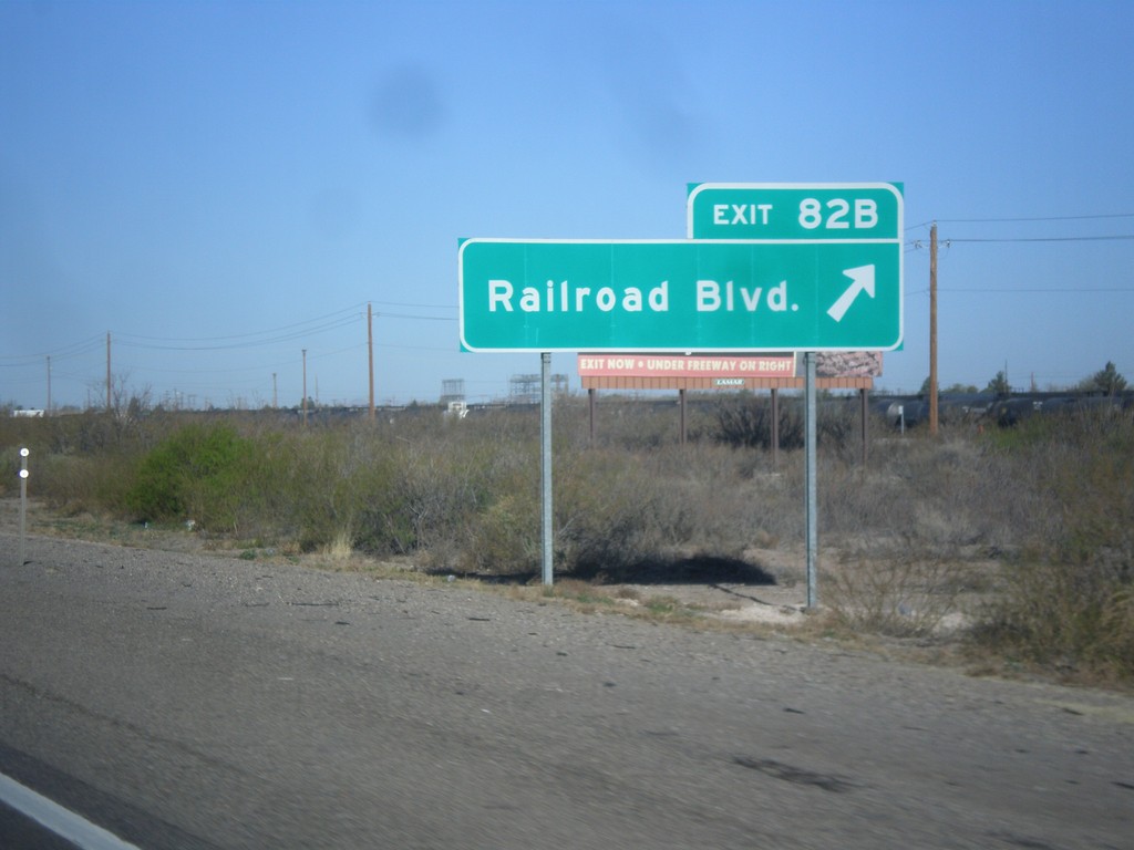
I-10 West - Exit 82B
I-10 west at Exit 82B - Railroad Blvd.
Taken 04-14-2013
 Deming
Luna County
New Mexico
United States
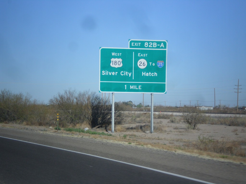
I-10 West Approaching Exits 82A and 82B
I-10 approaching Exits 82A and 82B. Exits 82AB - US-180 West/Silver City/NM-26 East/To I-25/Hatch.
Taken 04-14-2013


 Deming
Luna County
New Mexico
United States
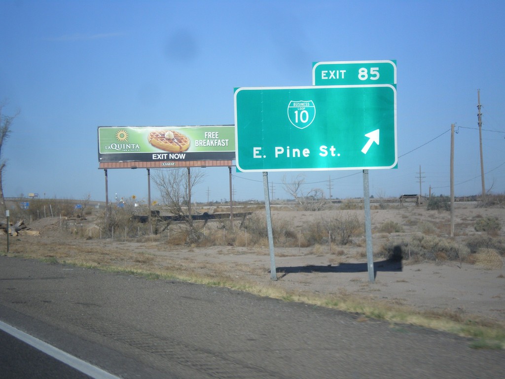
I-10 West - Exit 25
I-10 west at Exit 25 - BL-10/East Pine St. This is the east end of the Deming business loop.
Taken 04-14-2013

 Deming
Luna County
New Mexico
United States
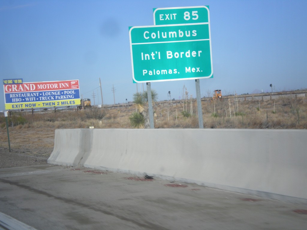
I-10 West Approaching Exit 85
I-10 west approaching Exit 85. Use Exit 85 for Columbus/International Border/Palomas, Mexico.
Taken 04-14-2013

 Deming
Luna County
New Mexico
United States
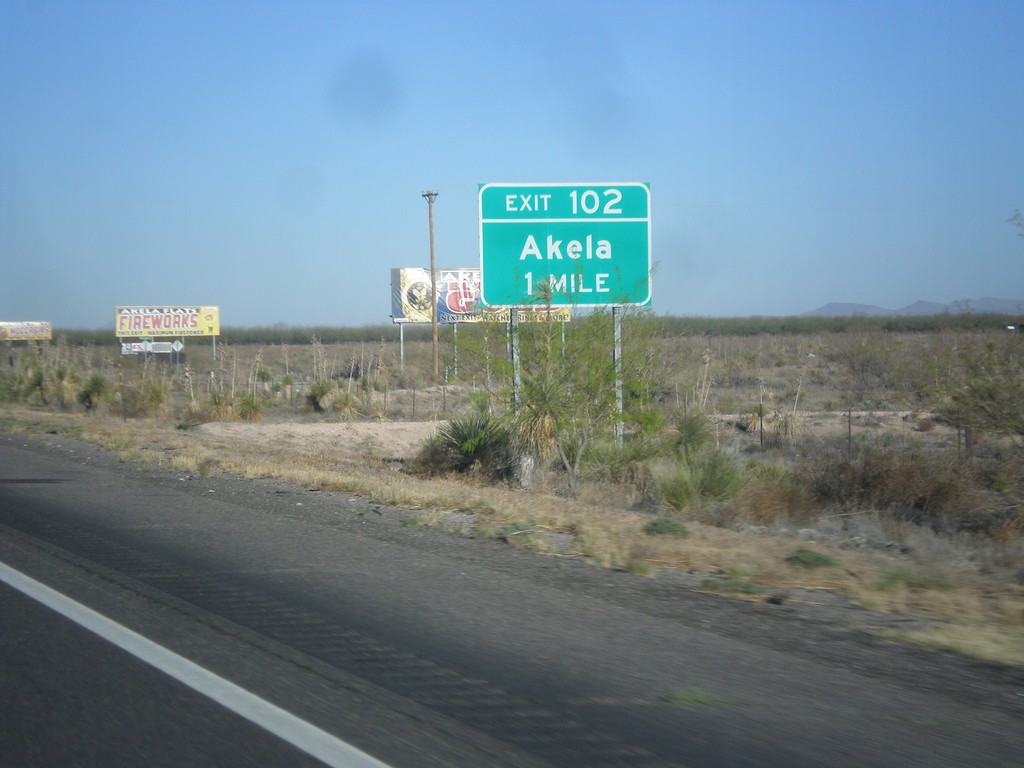
I-10 West - Exit 102
I-10 approaching Exit 102 - Akela.
Taken 04-14-2013
 Deming
Luna County
New Mexico
United States
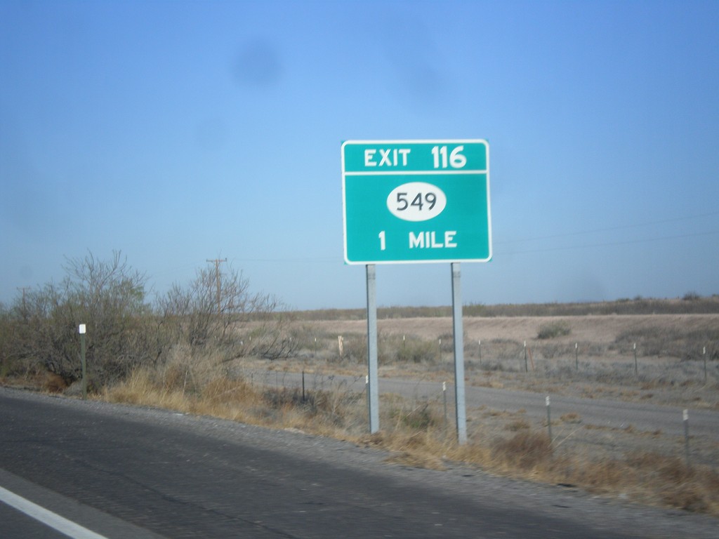
I-10 West - Exit 116
I-10 west approaching Exit 116 - NM-549.
Taken 04-14-2013

 Las Cruces
Doña Ana County
New Mexico
United States
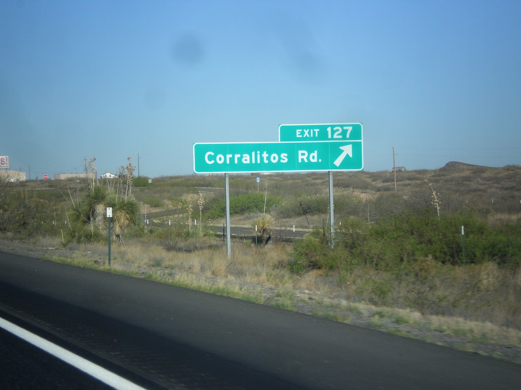
I-10 West - Exit 127
I-10 west at Exit 127 - Corralitos Road.
Taken 04-14-2013
 Las Cruces
Doña Ana County
New Mexico
United States
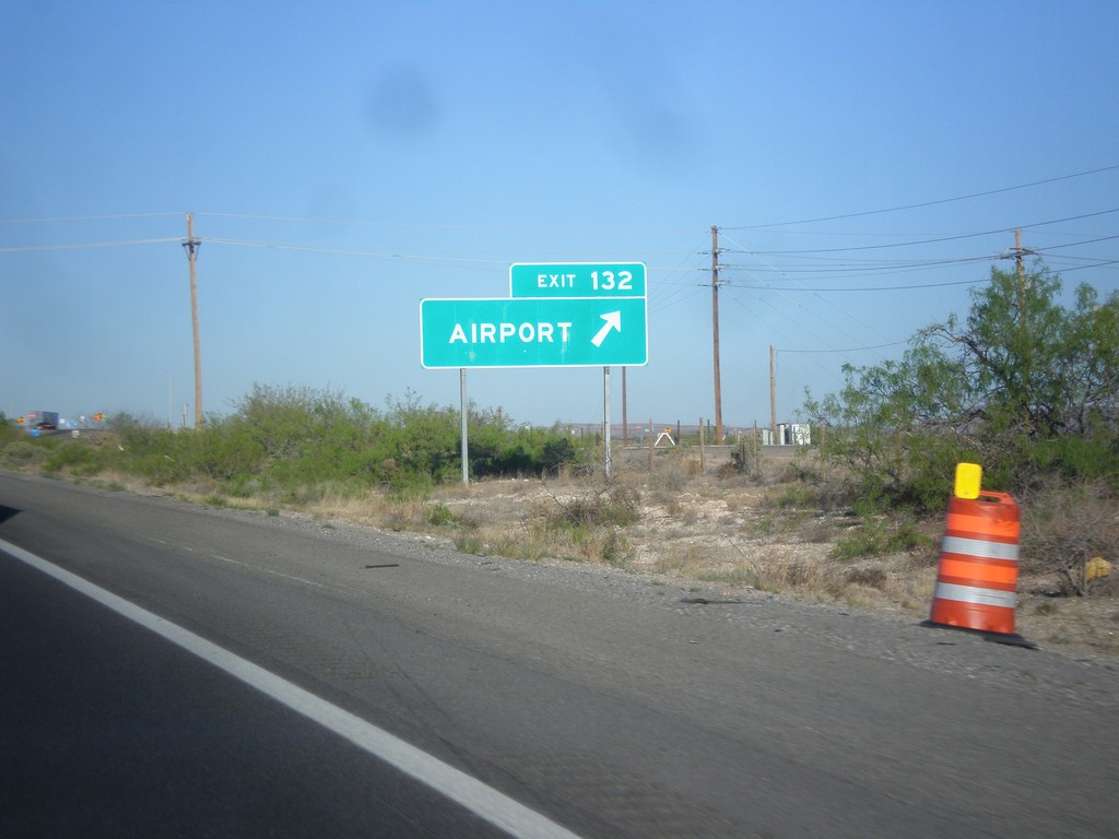
I-10 West - Exit 132
I-10 west at Exit 132 - Airport. Use Exit 132 for the Las Cruces Airport.
Taken 04-14-2013
 Las Cruces
Doña Ana County
New Mexico
United States
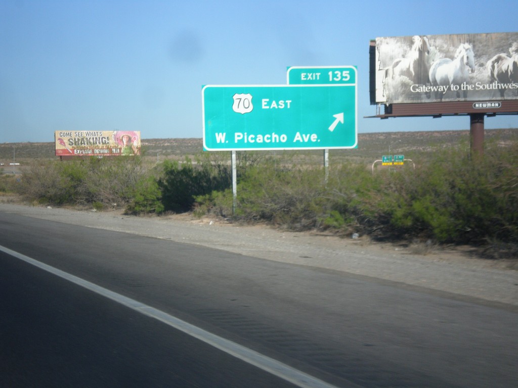
I-10 West - Exit 135
I-10 west at Exit 135 - US-70 East/W. Picacho Ave.
Taken 04-14-2013

 Las Cruces
Doña Ana County
New Mexico
United States
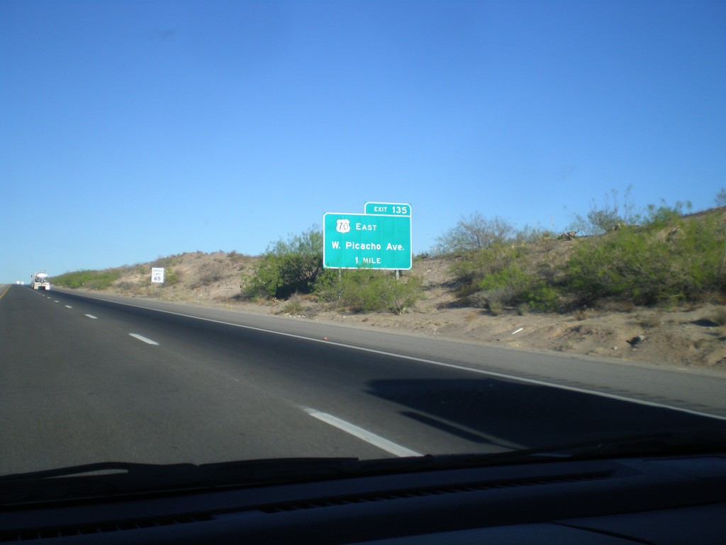
I-10 West Approaching Exit 135
I-10 west approaching Exit 135 - US-70 East/W. Picacho Ave. US-70 joins I-10 westbound to Lordsburg.
Taken 04-14-2013

 Las Cruces
Doña Ana County
New Mexico
United States
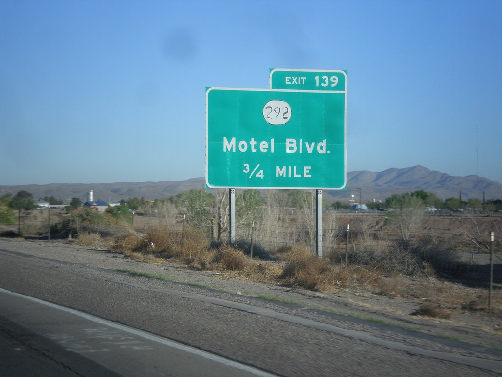
I-10 West - Exit 139
I-10 west approaching Exit 139 - NM-292/Motel Blvd.
Taken 04-14-2013

 Las Cruces
Doña Ana County
New Mexico
United States