Signs Tagged With Interchange
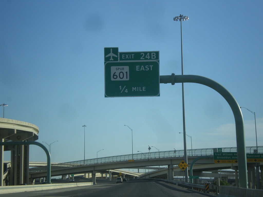
US-54 North - Exit 24B
US-54 north approaching Exit 24B - TX-601 Spur East. Use TX-601 Spur for the El Paso International Airport.
Taken 04-14-2013

 El Paso
 County
Texas
United States
El Paso
El Paso County
Texas
United States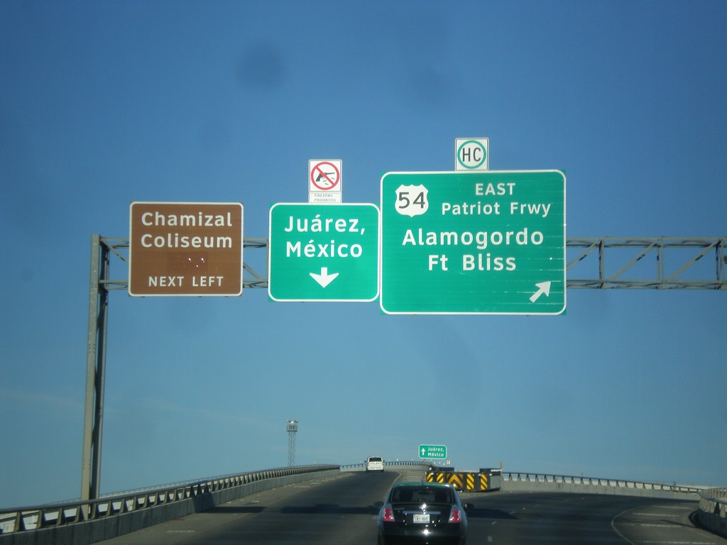
I-10 West at I-110/US-54 Ramps
I-10 west at I-110/US-54 ramps. Merge right for US-54 North/Patriot Freeway/Alamogordo/Fort Bliss. Merge left for (I-110/US-54 South)/Juárez, Mexico. Also use I-110/US-54 south for Chamizal Coliseum. Notice the sign above the Juárez, Mexico signs that shows firearms are not allowed in Mexico.
Taken 04-14-2013

 El Paso
 County
Texas
United States
El Paso
El Paso County
Texas
United States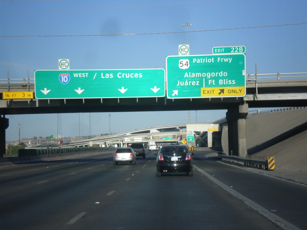
I-10 West - Exit 22B
I-10 west at Exit 22B - US-54/Patriot Freeway/Alamogordo/Fort Bliss/Juárez. I-10 continues west to Las Cruces (New Mexico).
Taken 04-14-2013
El Paso
El Paso County
Texas
United States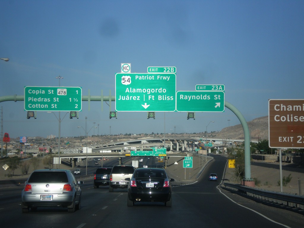
I-10 West - Exits 23A and 22B
I-10 west at Exit 23A - Raynolds St. Approaching Exit 22B - US-54/Patriot Freeway/Alamogordo/Fort Bliss/Juárez (Mexico). Also approaching Copia St., and Piedras St./Cotton St interchanges.
Taken 04-14-2013
 El Paso
 County
Texas
United States
El Paso
El Paso County
Texas
United States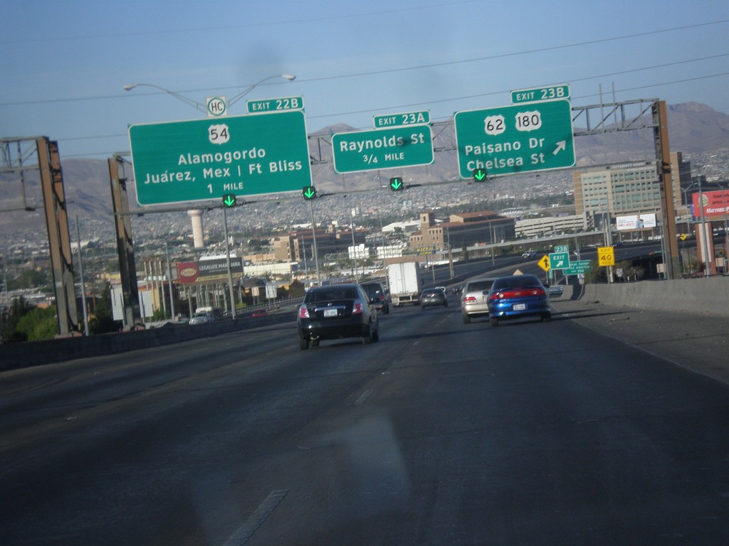
I-10 West - Exits 23B, 23A, and 22B
I-10 west at Exit 23B - US-62/US-180/Paisano Dr/Chelsea St. Approaching Exit 23A - Raynolds St. Also approaching Exit 22B - US-54/Alamogordo/Juárez, Mexico/Fort Bliss.
Taken 04-14-2013

 El Paso
 County
Texas
United States
El Paso
El Paso County
Texas
United States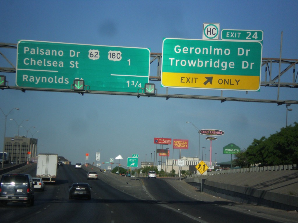
I-10 West - Exit 24
I-10 west at Exit 24 - Geronimo Drive/Trowbridge Drive. Approaching US-62/US-180/Chelsea St/Paisano Drive, and Raynolds St.
Taken 04-14-2013
El Paso
El Paso County
Texas
United States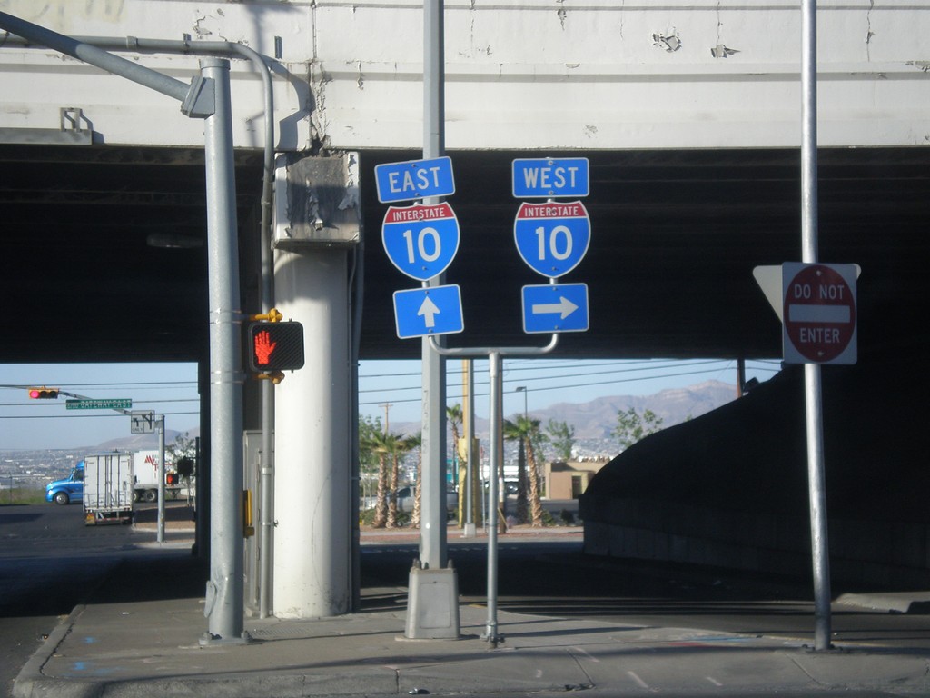
Airways Blvd. south at I-10
Airways Blvd. south at I-10 junction.
Taken 04-14-2013
El Paso
El Paso County
Texas
United States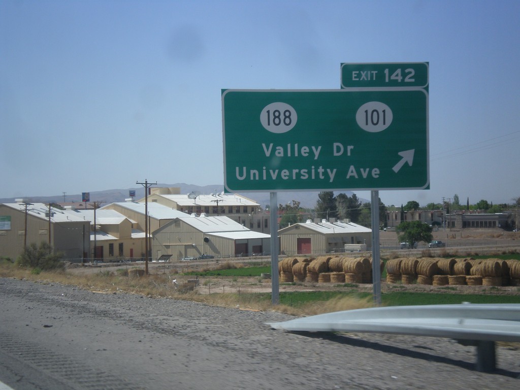
I-10 West - Exit 142
I-10 west at Exit 142 - NM-188/NM-101/Valley Drive/University Ave.
Taken 04-14-2013

 Las Cruces
Doña Ana County
New Mexico
United States
Las Cruces
Doña Ana County
New Mexico
United States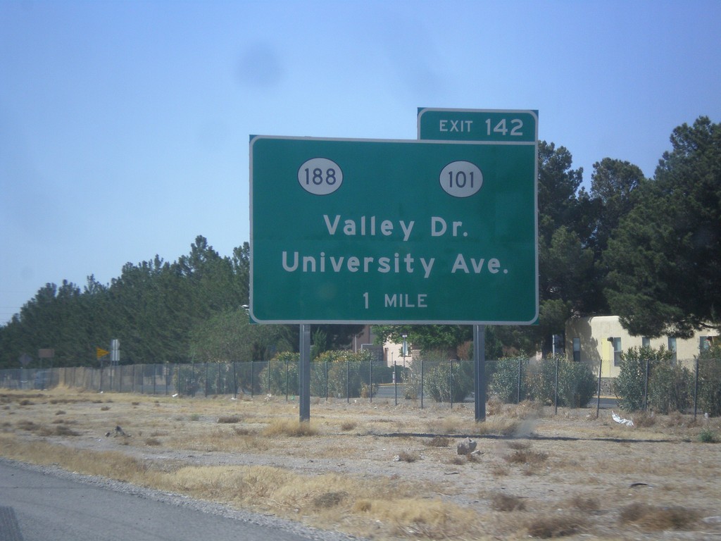
I-10 West Approaching Exit 140
I-10 west approaching Exit 140 - NM-188/NM-101/Valley Drive/University Ave.
Taken 04-14-2013
Las Cruces
Doña Ana County
New Mexico
United States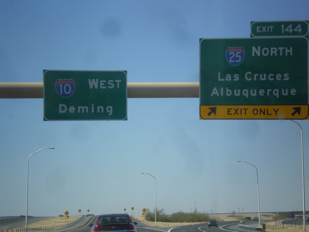
I-10 West - Exit 144
I-10 west at Exit 144 - I-25 North/Las Cruces/Albuquerque. Continue west on I-10 towards Deming.
Taken 04-14-2013
 Las Cruces
Doña Ana County
New Mexico
United States
Las Cruces
Doña Ana County
New Mexico
United States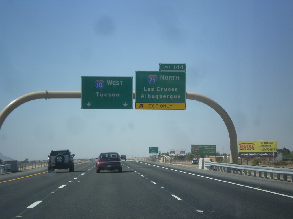
I-10 West - Exit 144
I-10 west approaching Exit 144 - I-25 North/Albuquerque/Las Cruces. Continue west on I-10 to Tucson (Arizona).
Taken 04-14-2013
Las Cruces
Doña Ana County
New Mexico
United States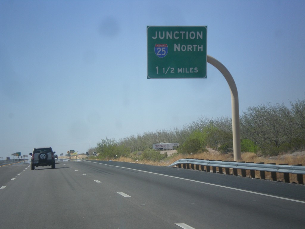
I-10 West Approaching I-25 Junction
I-10 west approaching I-25 junction (Exit 144).
Taken 04-14-2013
Doña Ana County
New Mexico
United States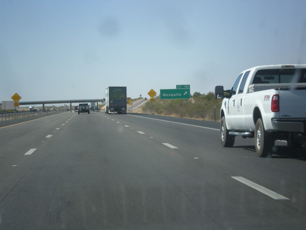
I-10 West - Exit 151
I-10 west at Exit 151 - Mesquite.
Taken 04-14-2013
Mesquite
Doña Ana County
New Mexico
United States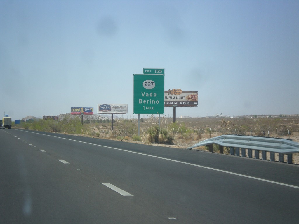
I-10 West - Exit 155
I-10 west approaching Exit 155 - NM-227/Vado/Berino.
Taken 04-14-2013
 Vado
Doña Ana County
New Mexico
United States
Vado
Doña Ana County
New Mexico
United States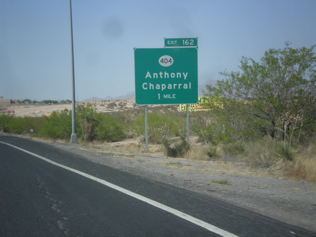
I-10 West Approaching Exit 164
I-10 west approaching Exit 164 - NM-404/Anthony/Chaparral.
Taken 04-14-2013
 Anthony
Doña Ana County
New Mexico
United States
Anthony
Doña Ana County
New Mexico
United States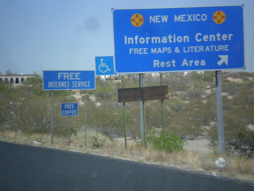
I-10 West - Welcome Center/Rest Area
I-10 west - New Mexico Information Center/Rest Area.
Taken 04-14-2013
Anthony
Doña Ana County
New Mexico
United States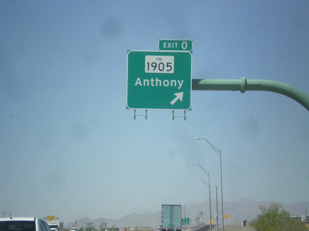
I-10 West - Exit 0
I-10 west at Exit 0 - FM-1905/Anthony. This is the last exit on I-10 in Texas.
Taken 04-14-2013
 Anthony
El Paso County
Texas
United States
Anthony
El Paso County
Texas
United States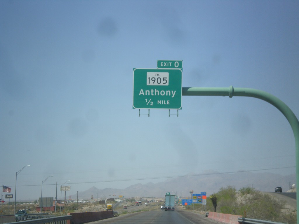
I-10 West Approaching Exit 0
I-10 west approaching Exit 0 - FM-1905/Anthony.
Taken 04-14-2013
Anthony
El Paso County
Texas
United States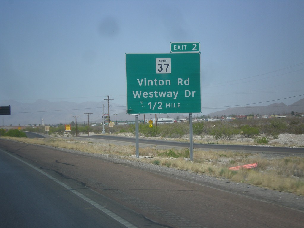
I-10 West - Exit 2
I-10 west approaching Exit 2 - TX-37 Spur/Vinton Road/Westway Drive.
Taken 04-14-2013
 Anthony
El Paso County
Texas
United States
Anthony
El Paso County
Texas
United States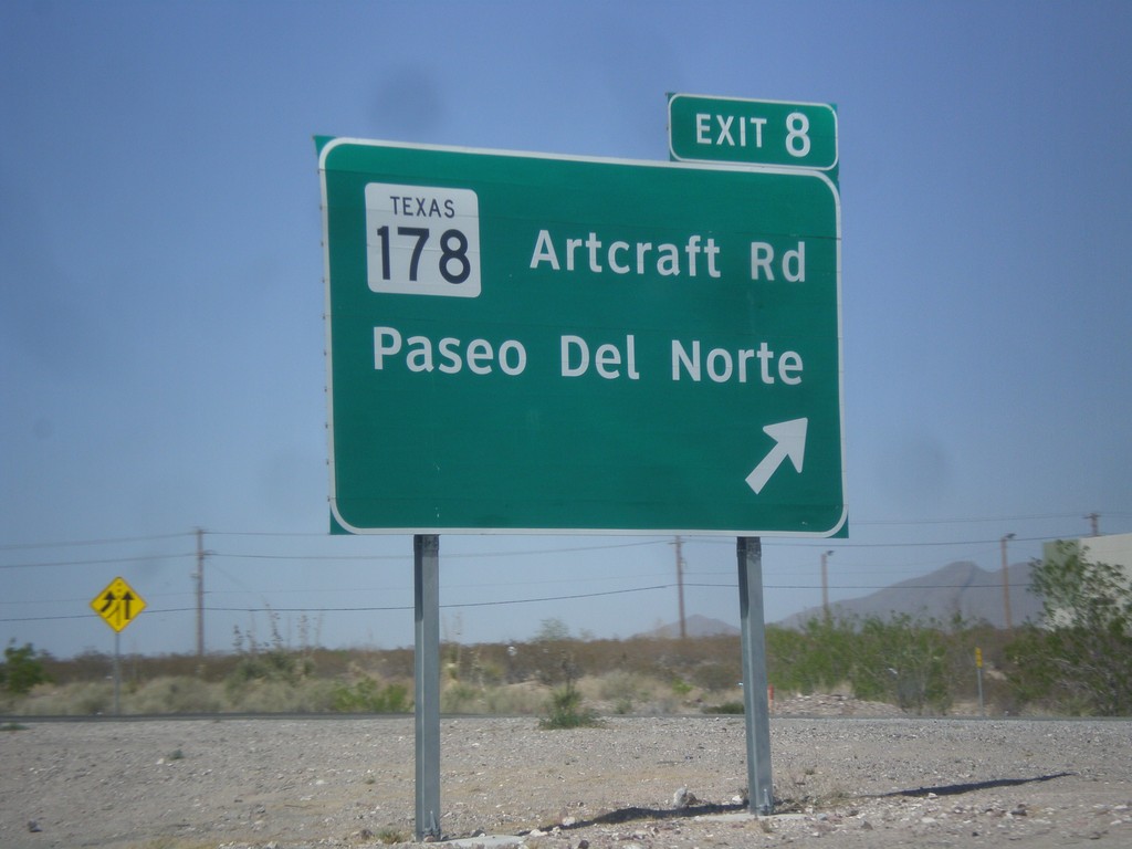
I-10 West - Exit 8
I-10 west at Exit 8 - TX-178/Artcraft Road/Paseo del Norte.
Taken 04-14-2013
 El Paso
 County
Texas
United States
El Paso
El Paso County
Texas
United States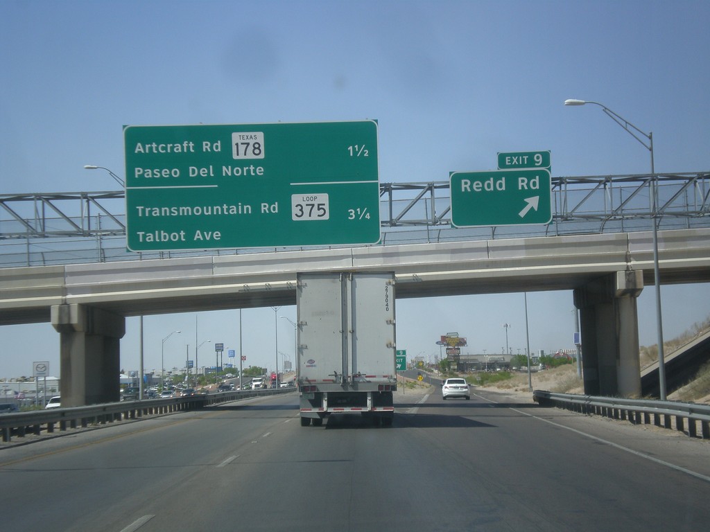
I-10 West - Exit 9
I-10 west at Exit 9 - Redd Road. Approaching TX-178/Artcraft Road/Paseo del Norte and TX-375 Loop/Transmountain Road/Talbot Ave interchanges.
Taken 04-14-2013
 El Paso
 County
Texas
United States
El Paso
El Paso County
Texas
United States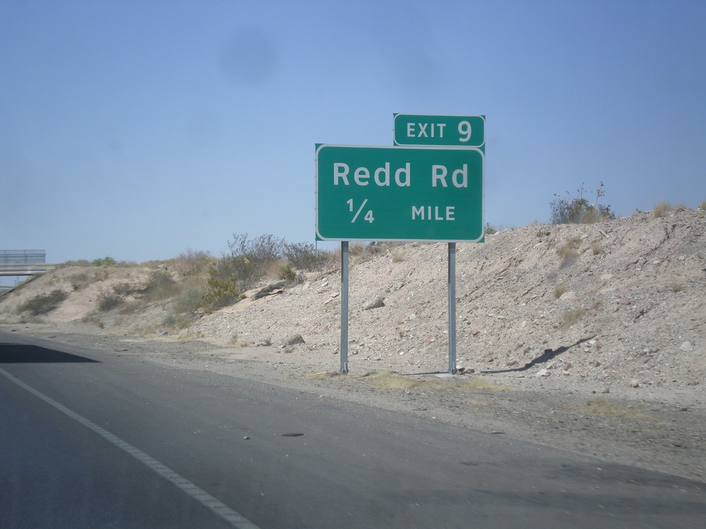
I-10 West - Exit 9
I-10 west approaching Exit 9 - Redd Road.
Taken 04-14-2013
El Paso
El Paso County
Texas
United States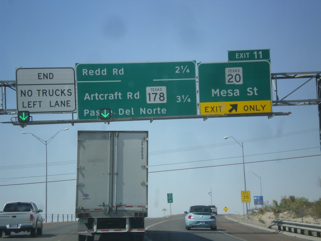
I-10 West - Exit 11
I-10 west at Exit 11 - TX-20/Mesa St. Approaching Redd Road, TX-178/Artcraft Road/Paseo del Norte interchanges.
Taken 04-14-2013
 El Paso
 County
Texas
United States
El Paso
El Paso County
Texas
United States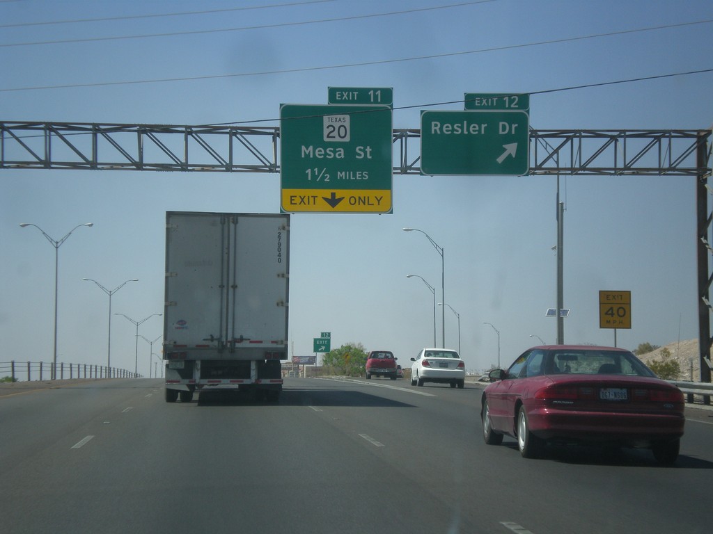
I-10 West - Exits 12 and 11
I-10 west at Exit 12 - Resler Drive. Approaching Exit 11 - TX-20/Mesa St.
Taken 04-14-2013
El Paso
El Paso County
Texas
United States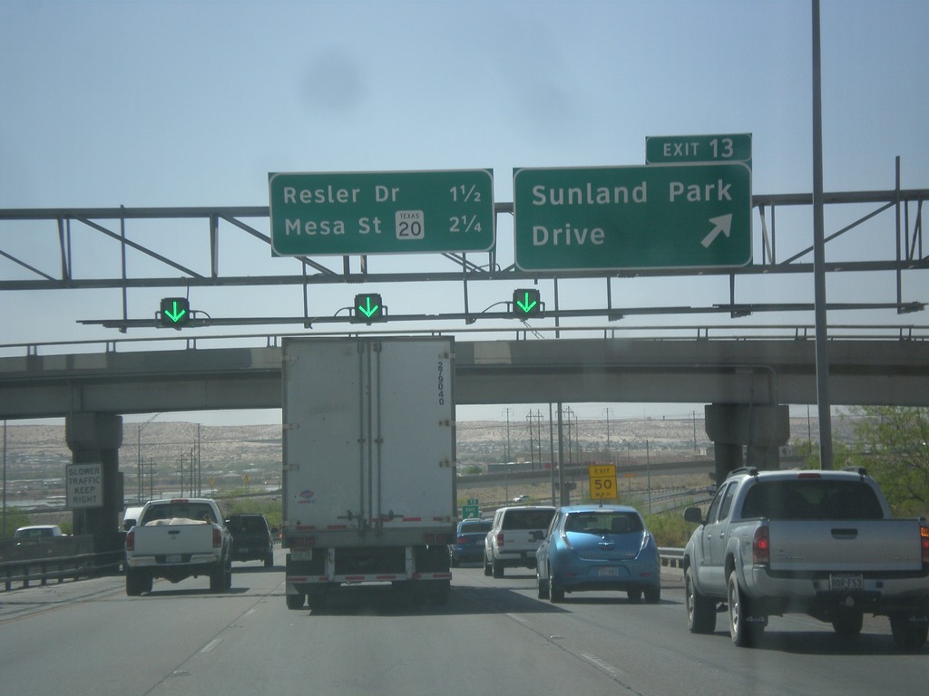
I-10 West - Exit 13
I-10 west at Exit 13 - Sunland Park Drive. Approaching Resler Drive, and TX-20/Mesa St. interchanges.
Taken 04-14-2013
El Paso
El Paso County
Texas
United States