Signs Tagged With Interchange
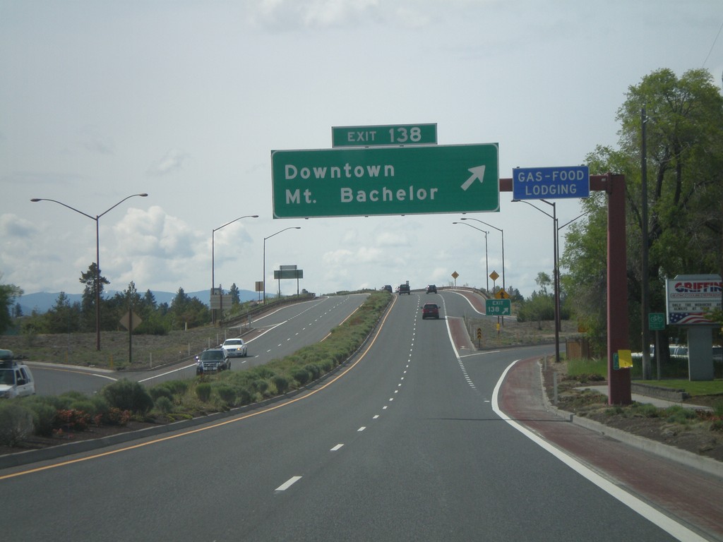
US-97 South - Exit 138
US-97 south at Exit 138 - Downtown/Mt. Bachelor.
Taken 05-27-2012
 Bend
Deschutes County
Oregon
United States
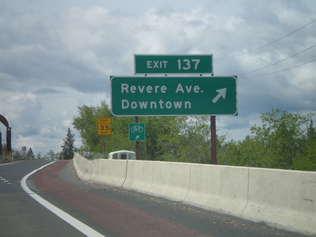
US-97 South - Exit 137
US-97 south at Exit 137 - Revere Ave./Downtown.
Taken 05-27-2012
 Bend
Deschutes County
Oregon
United States
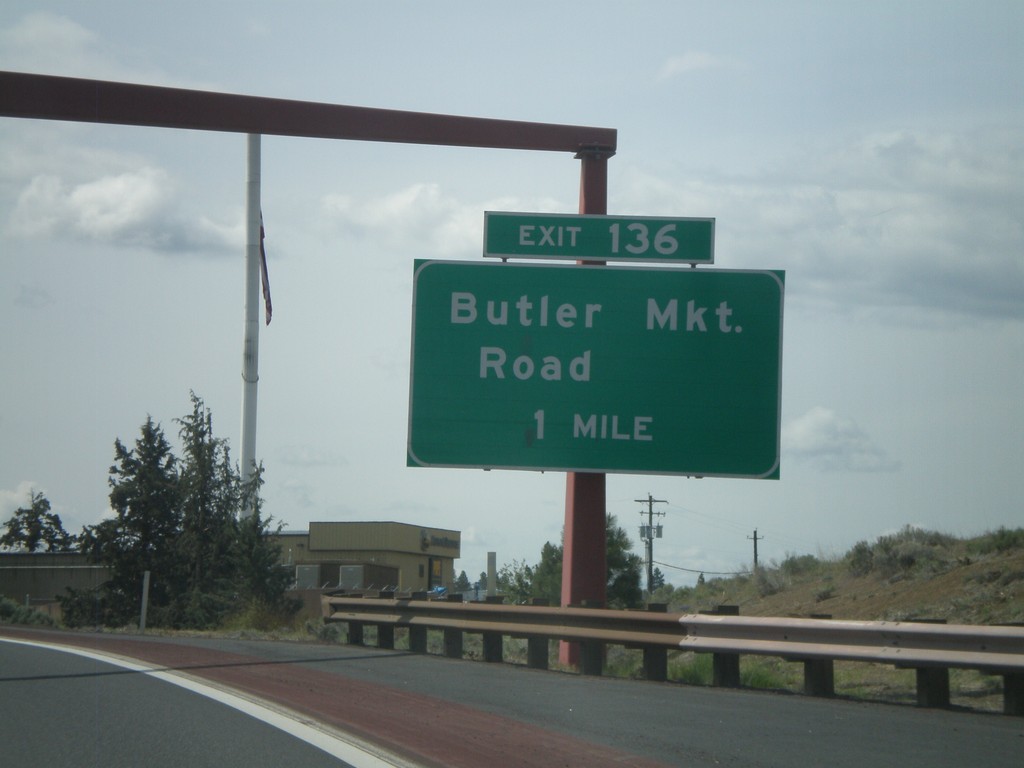
US-97 South Approaching Exit 136
US-97 south approaching Exit 136 - Butler Market Road.
Taken 05-27-2012
 Bend
Deschutes County
Oregon
United States
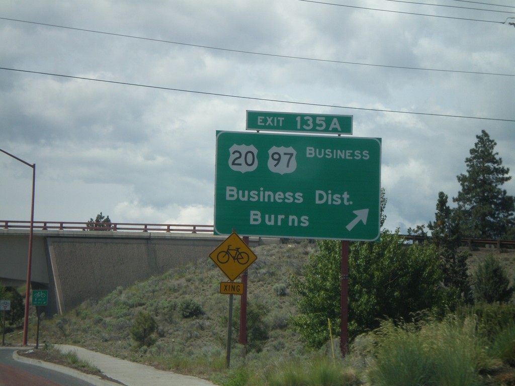
US-97 South - Exit 135A
US-97 south at Exit 135A - Business US-97/US-20/Business District/Burns.
Taken 05-27-2012


 Bend
Deschutes County
Oregon
United States
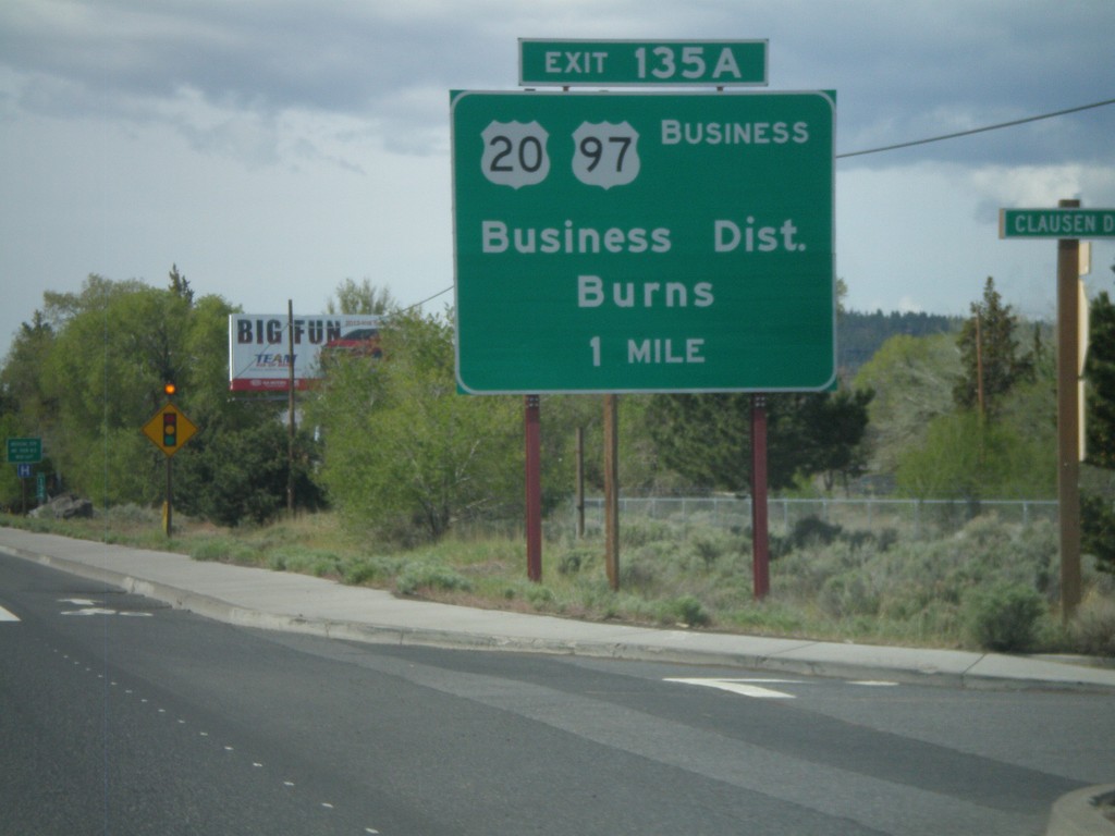
US-97 South Approaching Exit 135A
US-97 south approaching Exit 135A - US-20/Business District/Burns/Business US-97.
Taken 05-27-2012


 Bend
Deschutes County
Oregon
United States
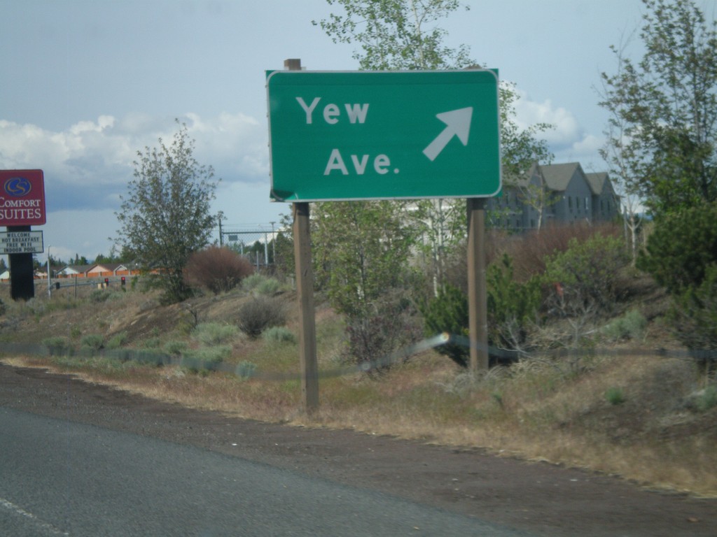
US-97 South at Yew Ave. IC
US-97 south at Yew Ave interchange.
Taken 05-27-2012
 Redmond
Deschutes County
Oregon
United States
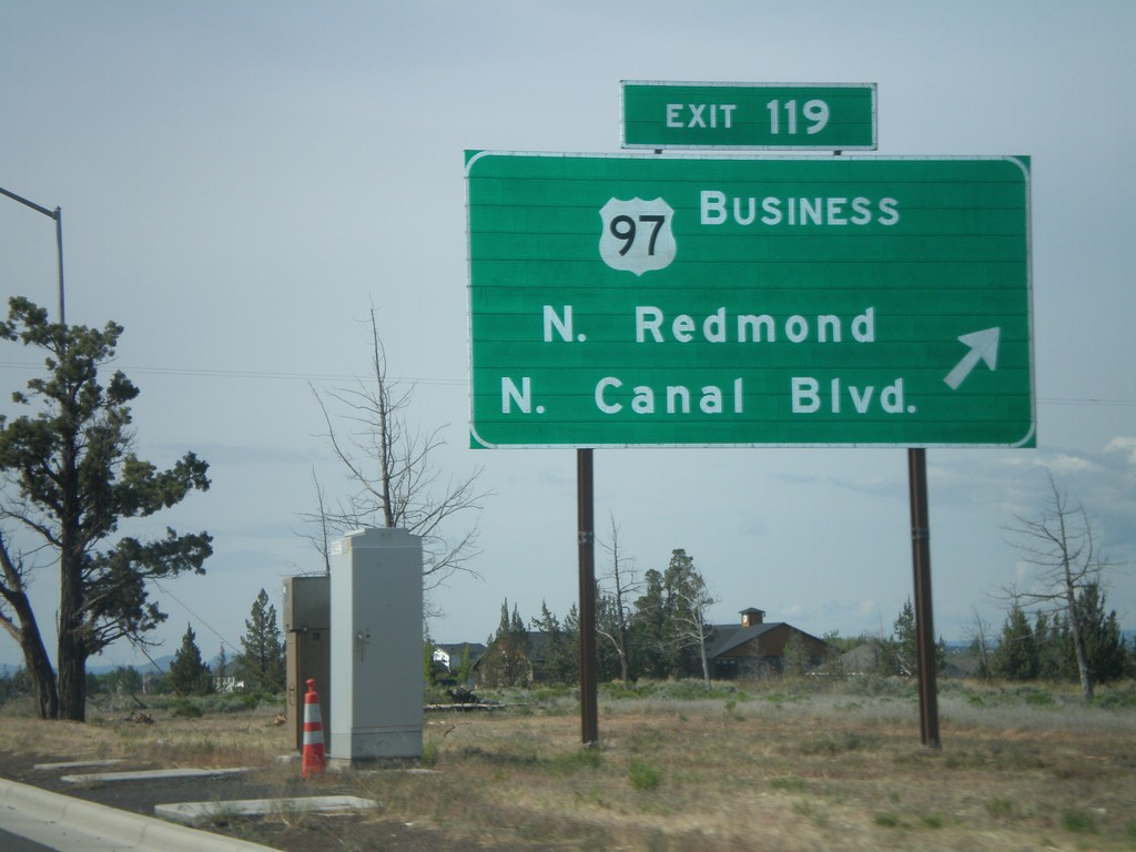
US-97 South - Exit 119
US-97 south at Exit 119 - US-97 Business/N. Redmond/N. Canal Blvd. This is the north end of the Redmond bypass. US-97 formerly followed the route of Business US-97 through downtown Redmond. The new bypass runs to the east of the old highway.
Taken 05-27-2012

 Redmond
Deschutes County
Oregon
United States
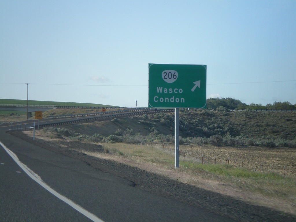
US-97 South at OR-206 Interchange
US-97 South at OR-206 Interchange to Wasco and Condon.
Taken 05-27-2012

 Wasco
Sherman County
Oregon
United States
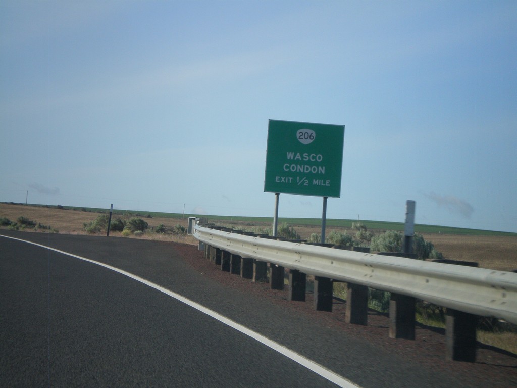
US-97 South Approaching OR-206 IC
US-97 south approaching OR-206 interchange to Wasco and Condon.
Taken 05-27-2012

 Wasco
Sherman County
Oregon
United States
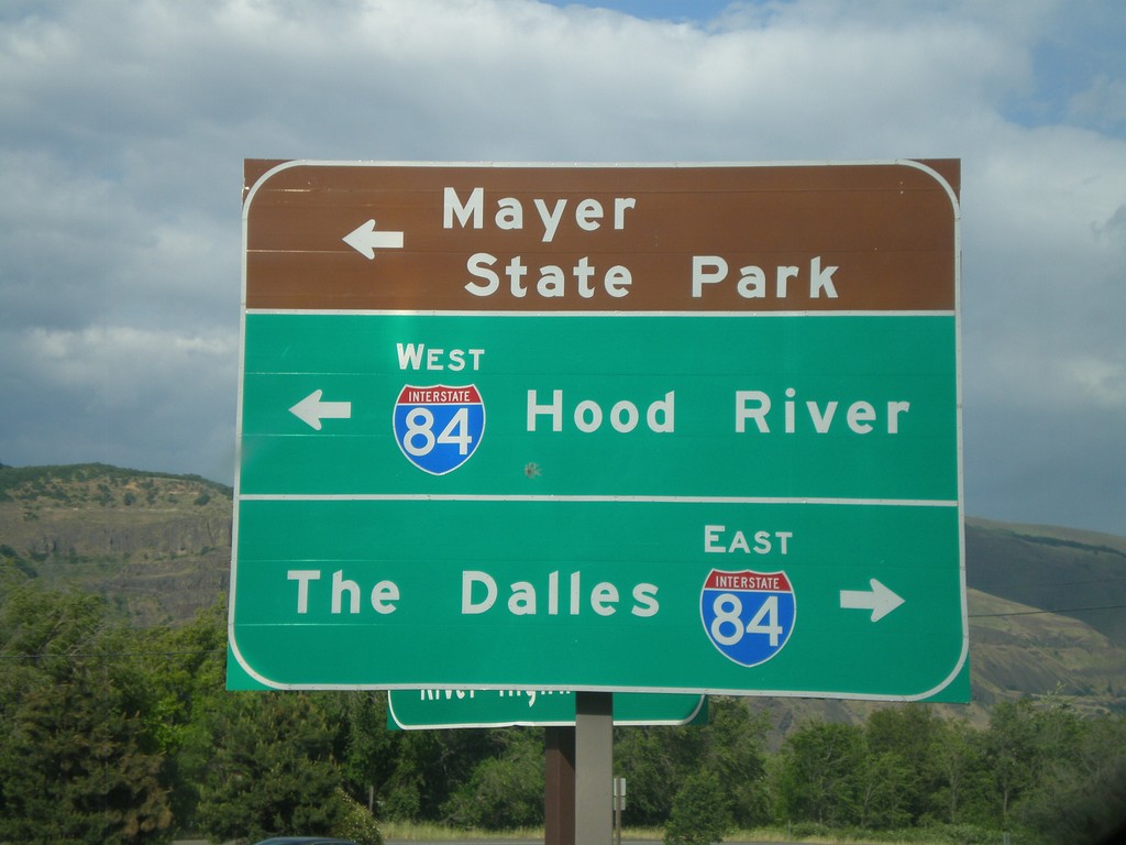
Rowena Access Road at I-84
Rowena Access Road at I-84 (Exit 76) onramp. Turn right for I-84 east to The Dalles. Turn left for I-84 west to Hood River, and to continue under freeway towards Mayer State Park.
Taken 05-26-2012

 The Dalles
Wasco County
Oregon
United States
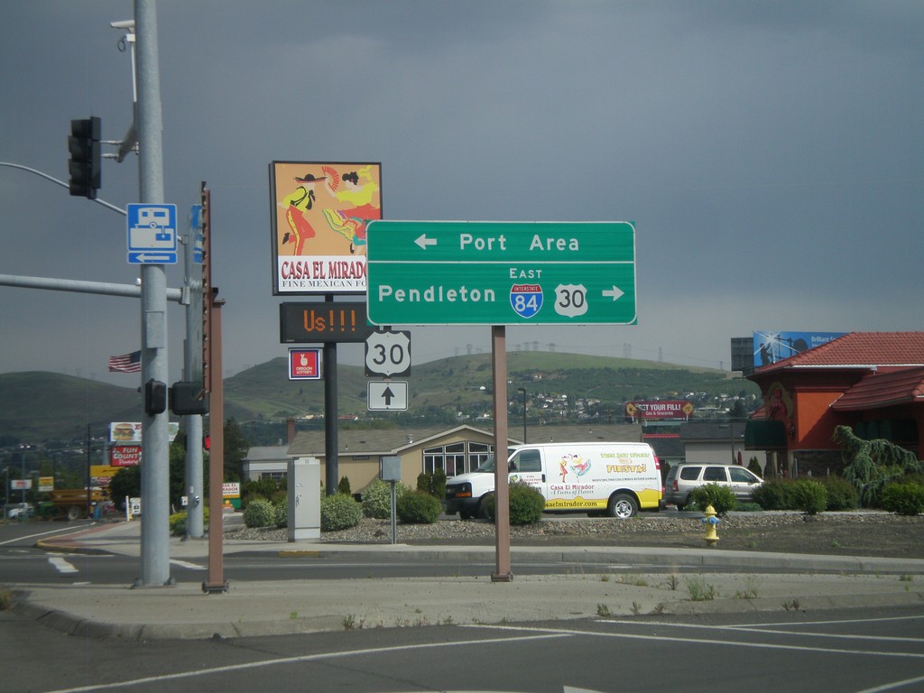
W 2nd St. at US-30 and I-84
W 2nd St. in The Dalles at US-30 and I-84 east junction. Turn right for I-84 east, to Pendleton, and US-30 west. Continue ahead on 2nd St. for US-30 east. Turn left for the Port Area along the Columbia River.
Taken 05-26-2012

 The Dalles
Wasco County
Oregon
United States
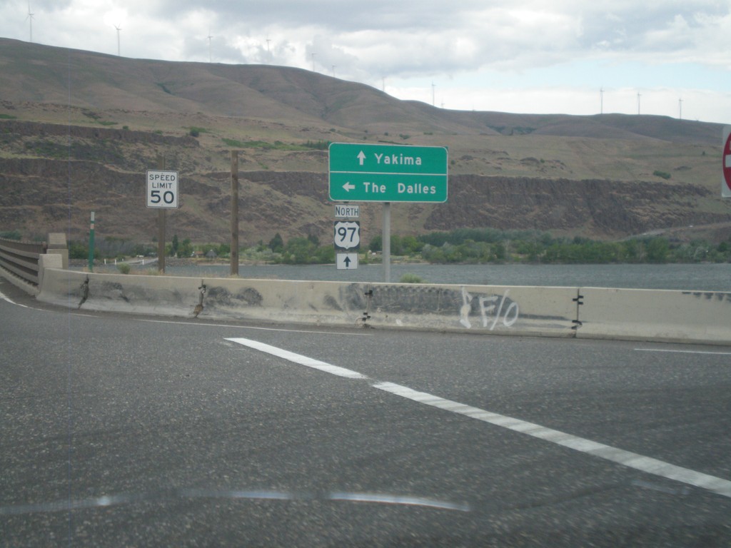
US-97 North at I-84/US-30 West
US-97 north at I-84/US-30 West (Exit 104). Turn left for I-84/US-30 west to The Dalles. Continue north on US-97 towards Yakima (Washington). US-97 crosses over the Columbia River into Washington immediately north of this junction. The Columbia River and the hills of Washington state are in the background of this photograph.
Taken 05-26-2012


 Biggs Junction
Sherman County
Oregon
United States
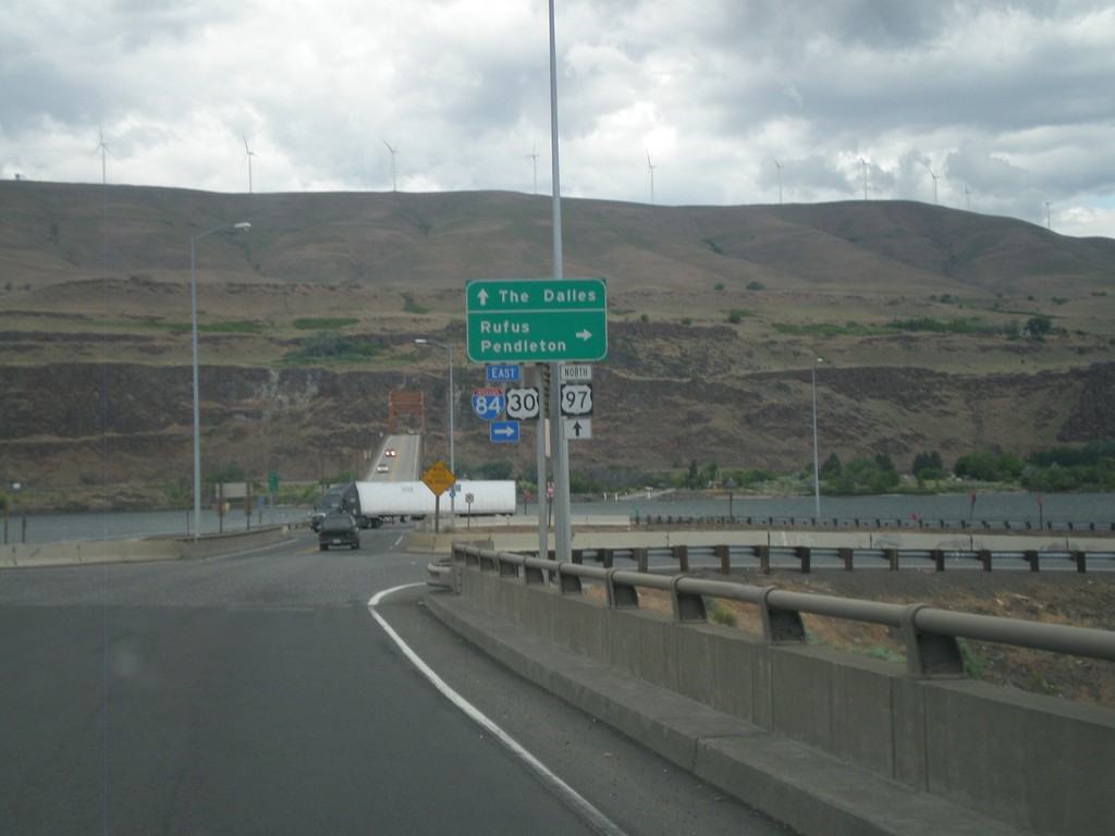
US-97 North at I-84/US-30 (Exit 104)
US-97 north at I-84/US-30 (Exit 104) junction. Turn right on I-84/US-30 east for Rufus and Pendleton. Continue over freeway for I-84/US-30 west to The Dalles. The Columbia River, and bridge over the Columbia River into Washington is in the background of the photograph.
Taken 05-26-2012


 Wasco
Sherman County
Oregon
United States
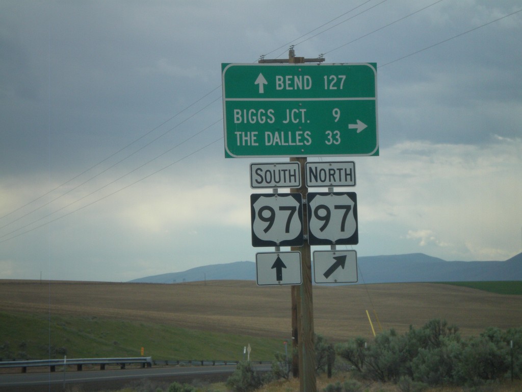
OR-206 West at US-97
OR-206 west at US-97 onramp. Turn right for US-97 north to Biggs Junction and The Dalles. Continue over the highway for US-97 southbound ramp to Bend.
Taken 05-26-2012

 Wasco
Sherman County
Oregon
United States
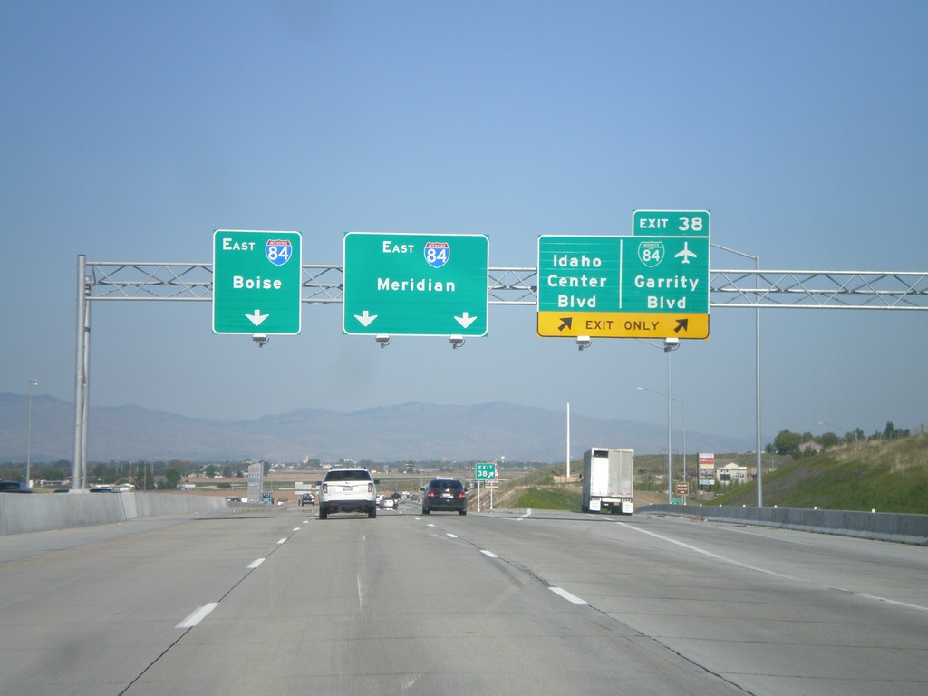
I-84 East - Exit 38
I-84 east at Exit 38 - BL-84/Garrity Blvd/Idaho Center Blvd. Use I-84 east for Meridian and Boies. This is the eastern end of the Nampa/Caldwell business loop. This interchange was recently rebuilt as part of the widening of I-84 between Nampa and Boise.
Taken 05-07-2012


 Nampa
Canyon County
Idaho
United States
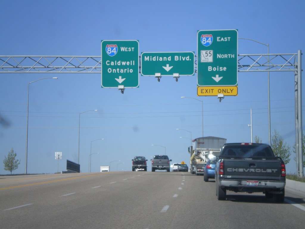
ID-55 South at I-84/US-30
ID-55 south at I-84/US-30 junction (Exit 33). Turn right for I-84/US-30 East/ID-55 south to Boise. Turn left for I-84/US-30 west to Caldwell and Ontario (Oregon). Continue ahead for Midland Blvd. ID-55 joins I-84 east to Meridian.
Taken 05-07-2012


 Nampa
Canyon County
Idaho
United States
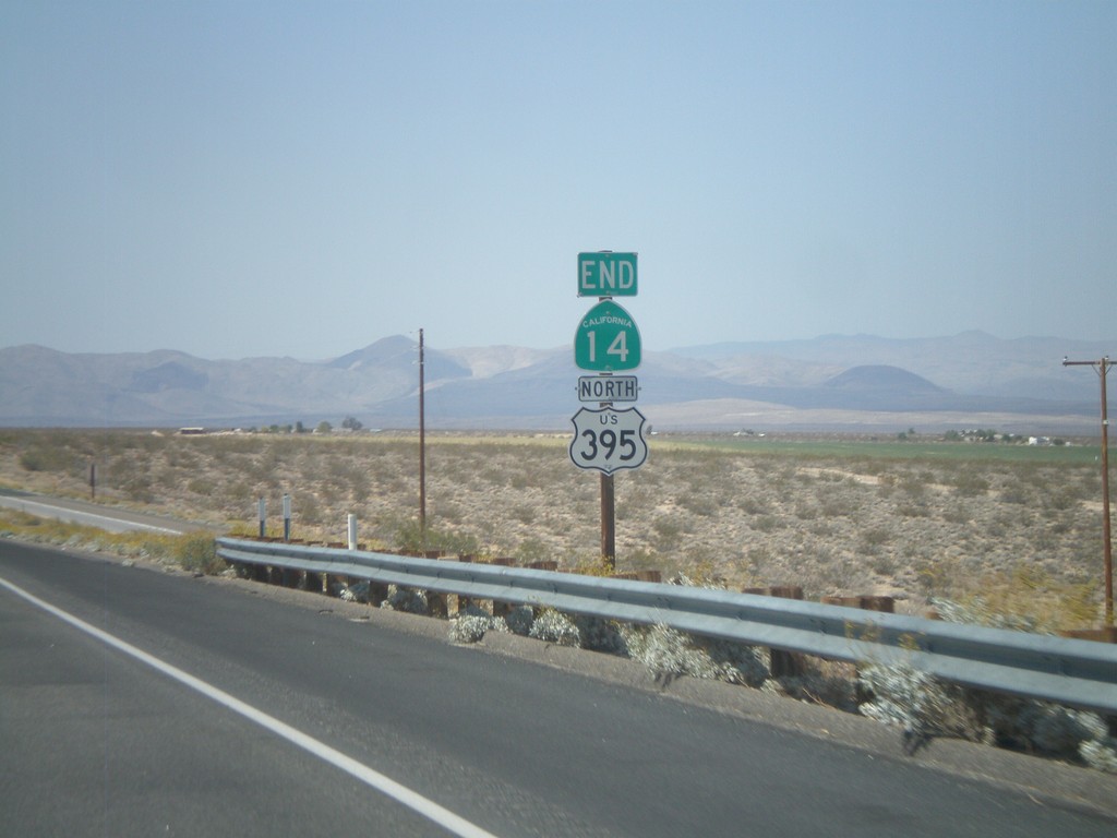
End CA-14 North at US-395
End CA-14 north at US-395. CA-14 starts in Los Angeles, and runs 116 miles to US-395 in Kern County.
Taken 05-06-2012

 Inyokern
Kern County
California
United States
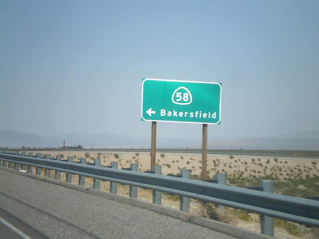
CA-14 North at CA-58 West Onramp
CA-14 North at CA-58 West onramp to Bakersfield.
Taken 05-06-2012

 California City
Kern County
California
United States
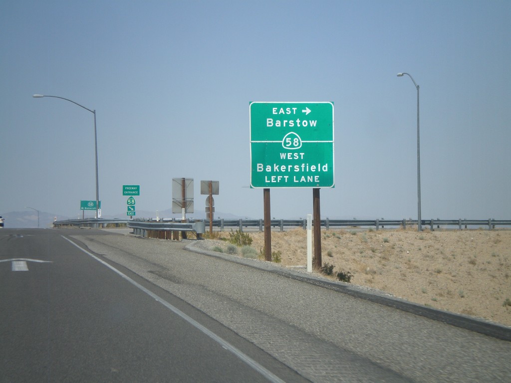
CA-14 North at CA-58
CA-14 north at CA-58 (Exit 167) junction. Turn right for CA-58 East to Barstow; continue over overpass and then left for CA-58 west to Bakersfield.
Taken 05-06-2012

 California City
Kern County
California
United States
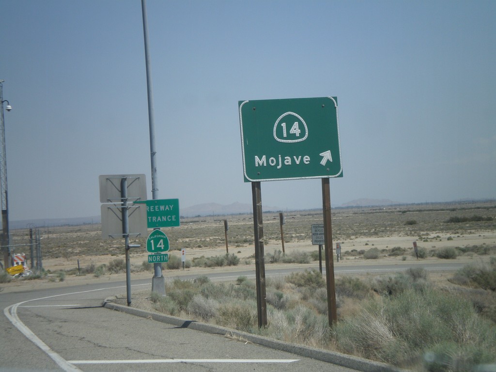
CA-138 East at CA-14 North
CA-138 East at CA-14 North onramp to Mojave.
Taken 05-06-2012

 Lancaster
Los Angeles County
California
United States
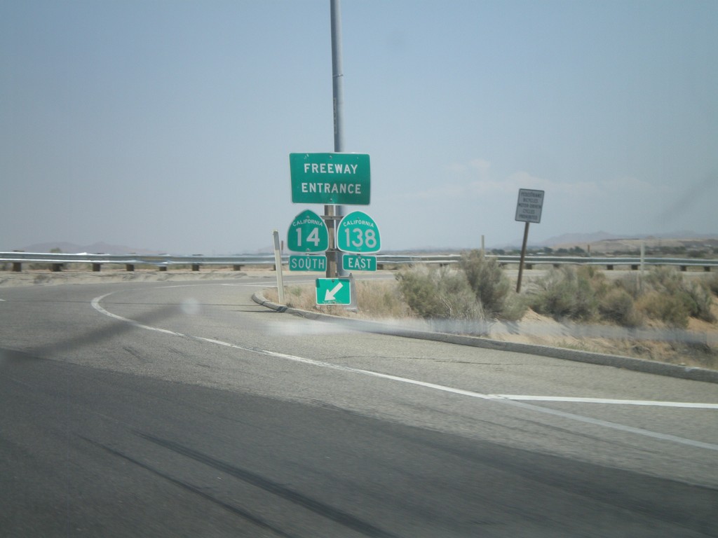
CA-138 East at CA-14 South
CA-138 east at CA-14 south onramp. CA-138 east joins CA-14 south to Palmdale.
Taken 05-06-2012

 Lancaster
Los Angeles County
California
United States
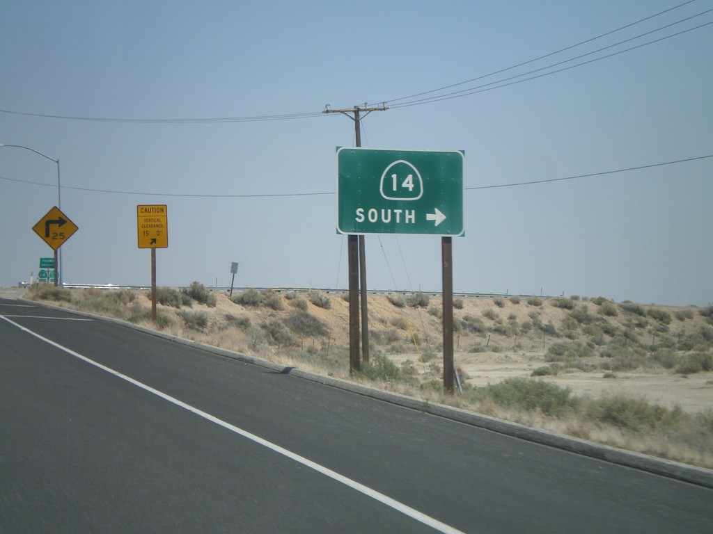
CA-138 East At CA-14
CA-138 east at CA-14. Merge right for CA-14 South/CA-138 East.
Taken 05-06-2012

 Lancaster
Los Angeles County
California
United States
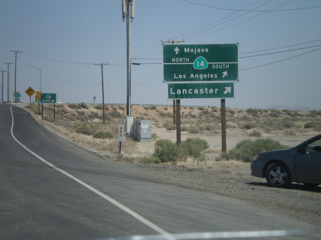
CA-138 East Approaching CA-14
CA-138 east approaching CA-14. Use CA-14 north for Mojave; CA-14 south for Los Angeles and Lancaster. CA-138 east joins CA-14 south to Palmdale.
Taken 05-06-2012

 Lancaster
Los Angeles County
California
United States
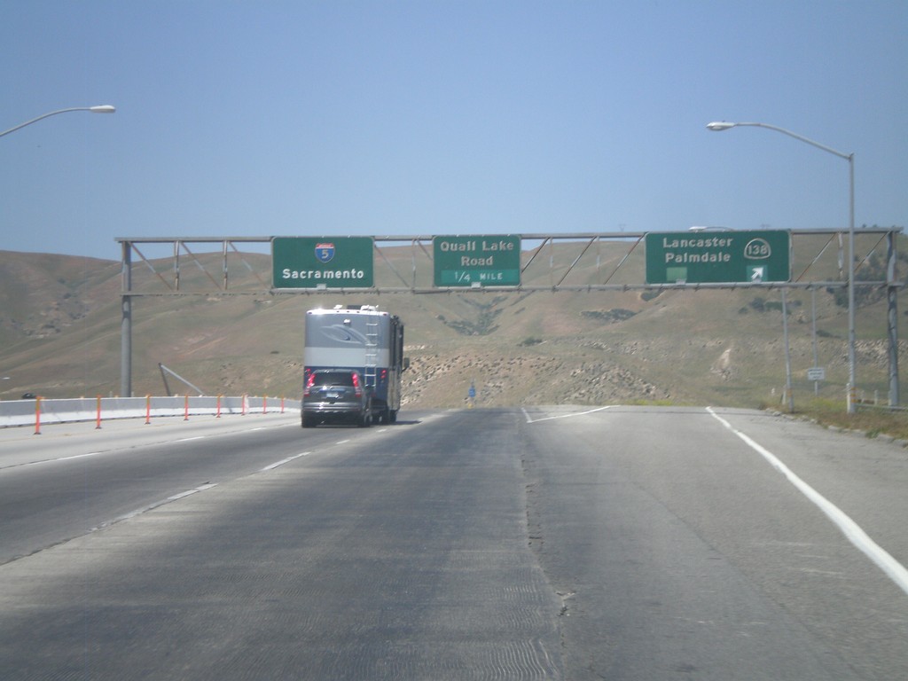
I-5 North - Exits 198A and 198B
I-5 north at Exit 198A - CA-138/Lancaster/Palmdale. Approaching Exit 198B - Quail Lake Road. I-5 continues north to Sacramento.
Taken 05-06-2012

 Lebec
Kern County
California
United States
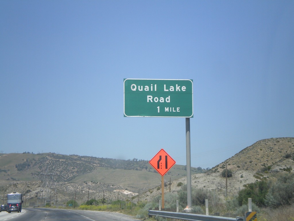
I-5 North - Exit 198B
I-5 north approaching Exit 198B - Quail Lake Road.
Taken 05-06-2012
 Lebec
Los Angeles County
California
United States