Signs Tagged With Interchange
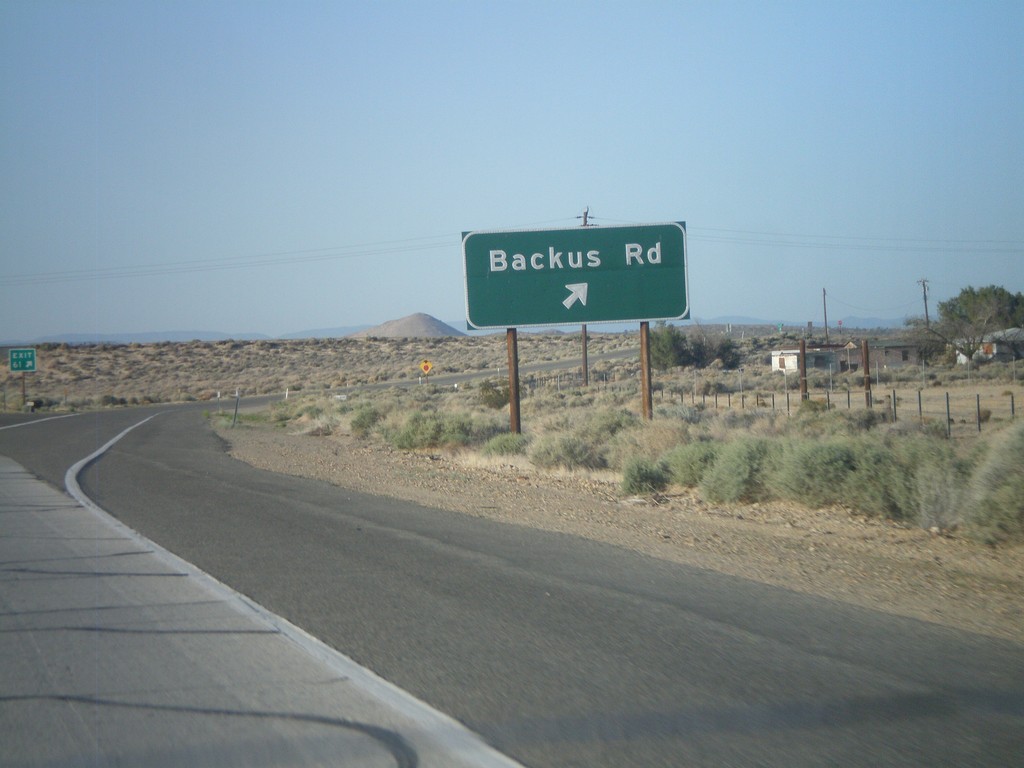
CA-14 South - Exit 61
CA-14 south at Exit 61 - Backus Road.
Taken 05-05-2012
 Mojave
Kern County
California
United States
Mojave
Kern County
California
United States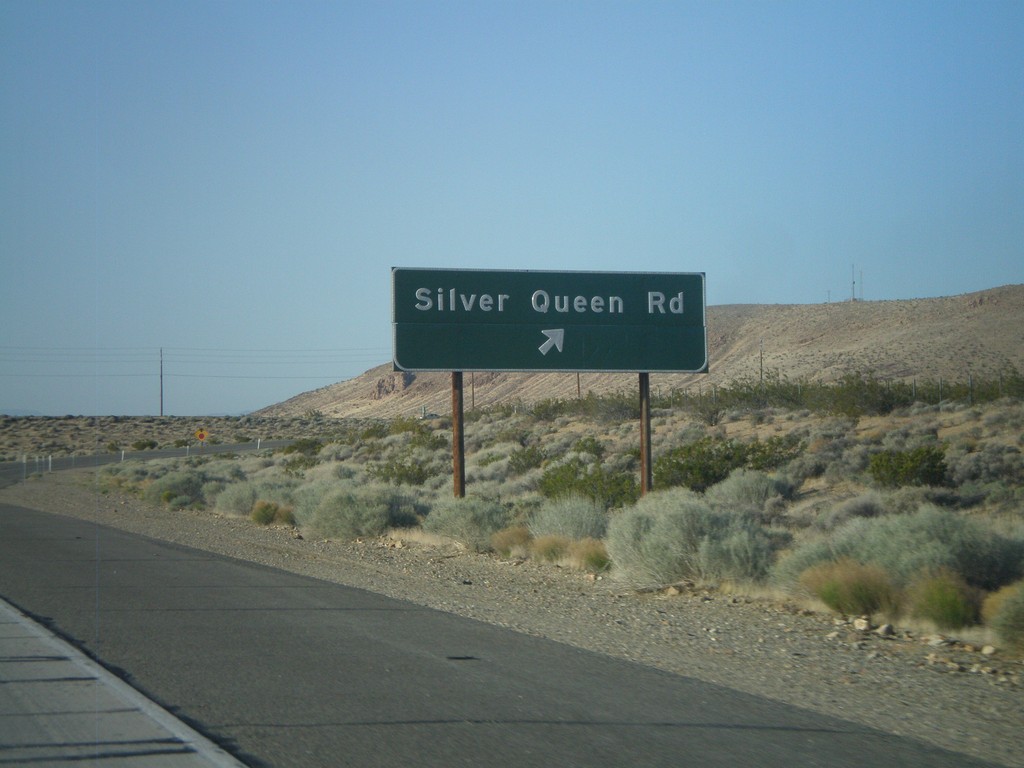
CA-14 South - Exit 64
CA-14 south at Exit 64 - Silver Queen Road. This is the first interchange on the CA-14 freeway south of Mojave.
Taken 05-05-2012
Mojave
Kern County
California
United States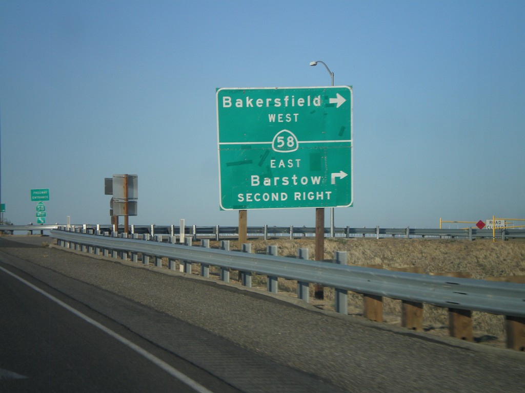
CA-14 South at CA-58
CA-14 south at CA-58. Turn right for CA-58 west to Bakersfield. Continue over overpass and take second right for CA-58 east to Barstow.
Taken 05-05-2012
 California City
Kern County
California
United States
California City
Kern County
California
United States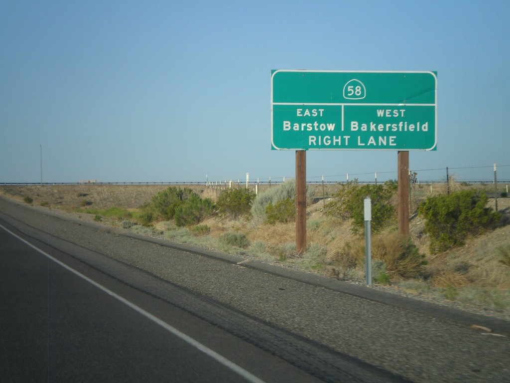
CA-14 South Approaching CA-58
CA-14 South approaching CA-58 to Barstow (east) and Bakersfield (west).
Taken 05-05-2012
Mojave
Kern County
California
United States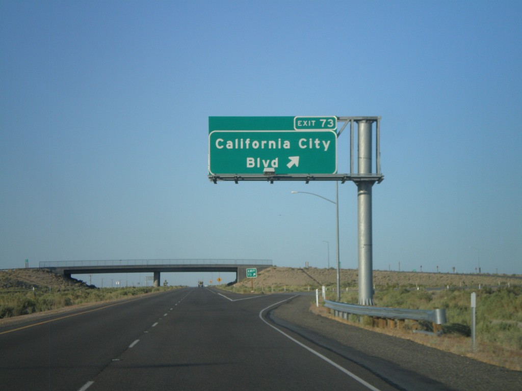
CA-14 South - Exit 73
CA-14 south at Exit 73 - California City Blvd.
Taken 05-05-2012
Mojave
Kern County
California
United States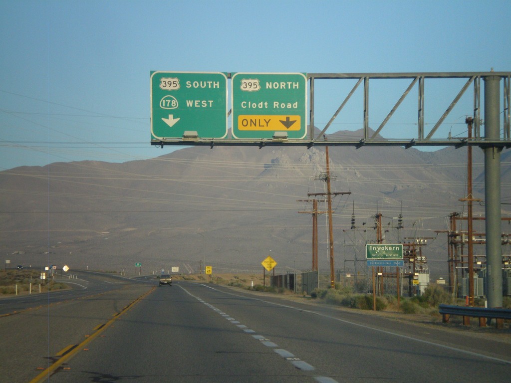
CA-178 West Approaching US-395
CA-178 west approaching US-395. Use right lane for US-395 north and Clodt Road. Continue on overpass for US-395 south and CA-178 west. Entering Inyokern, California.
Taken 05-05-2012

 Inyokern
Kern County
California
United States
Inyokern
Kern County
California
United States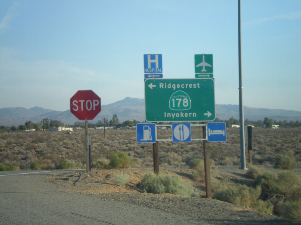
US-395 South Offramp at CA-178
US-395 south offramp at CA-178. Turn right for CA-178 west to Inyokern; left for CA-178 east to Ridgecrest.
Taken 05-04-2012
Inyokern
Kern County
California
United States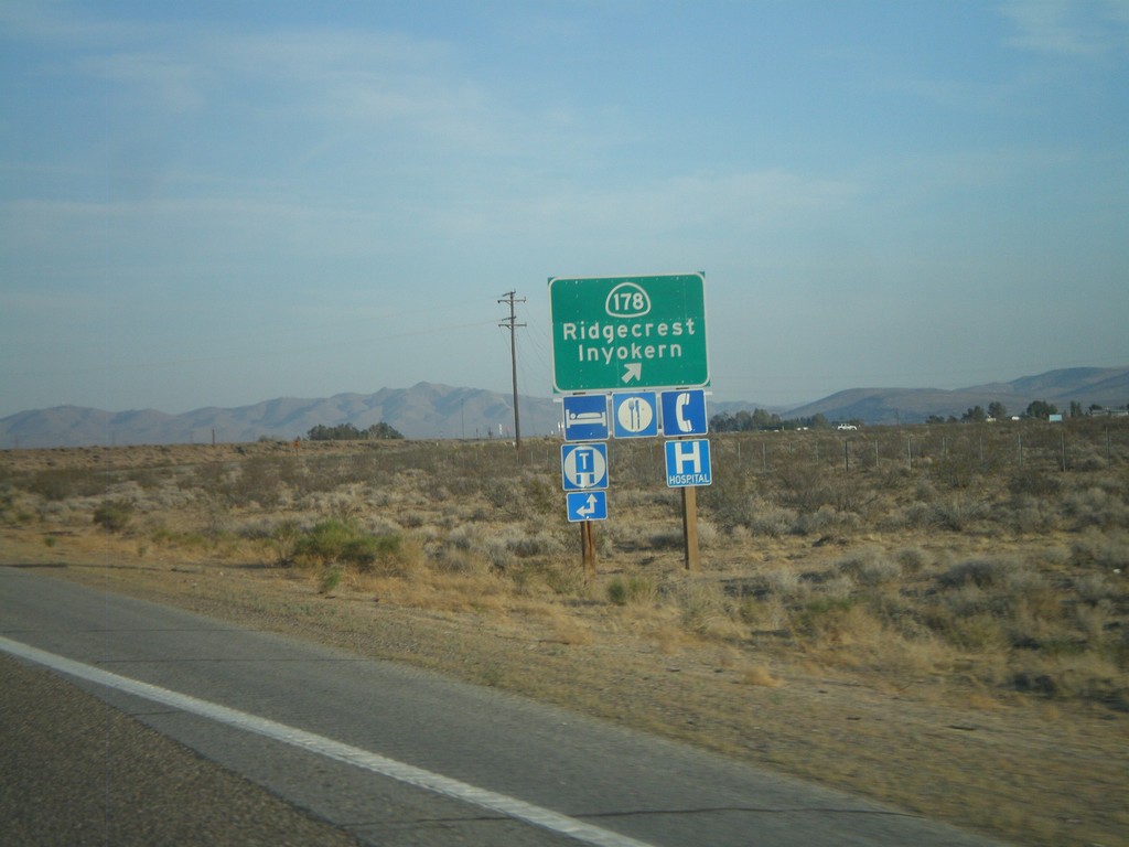
US-395 South at CA-178 Interchange
US-395 South at CA-178 Interchange - CA-178/Inyokern/Ridgecrest.
Taken 05-04-2012
Inyokern
Kern County
California
United States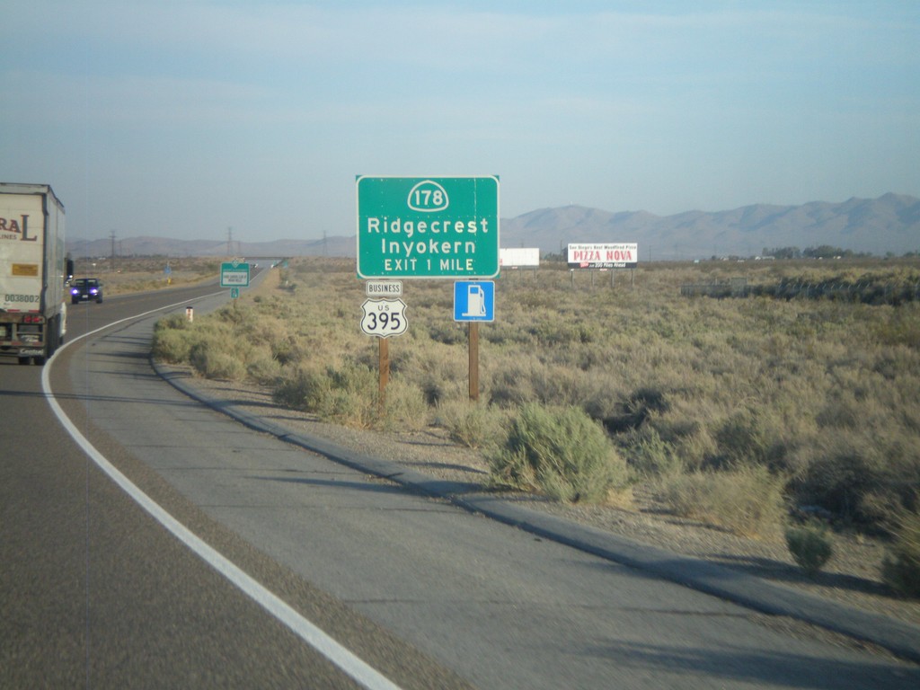
US-395 South Approaching CA-178 Interchange
US-395 South approaching CA-178 Interchange - CA-178/Inyokern/Ridgecrest. Business US-395 leaves US-395 here and follows CA-178 east into Ridgecrest. Business US-395 rejoins US-395 south of Ridgecrest at the China Lake Blvd. intersection.
Taken 05-04-2012
 Inyokern
Kern County
California
United States
Inyokern
Kern County
California
United States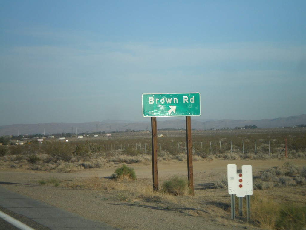
US-395 South at Brown Road Interchange
US-395 South at Brown Road interchange.
Taken 05-04-2012
Inyokern
Kern County
California
United States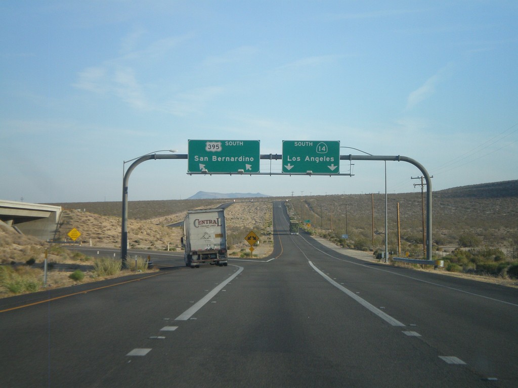
US-395 South at CA-14
US-395 south at CA-14 junction. This is the northern end of CA-14. Use left lanes for US-395 south to San Bernardino. Use right lanes for CA-14 south to Los Angeles.
Taken 05-04-2012
Inyokern
Kern County
California
United States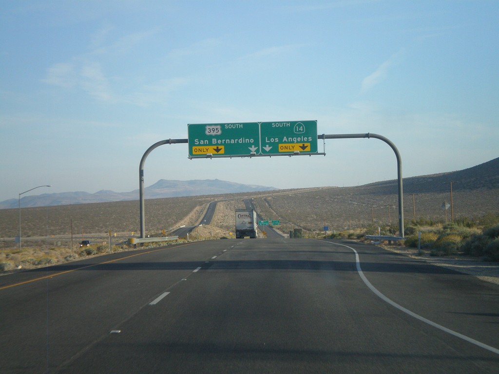
US-395 South Approaching CA-14
US-395 south approaching CA-14. Use left lanes for US-395 south to San Bernardino. Use right lanes for CA-14 south to Los Angeles.
Taken 05-04-2012
Inyokern
Kern County
California
United States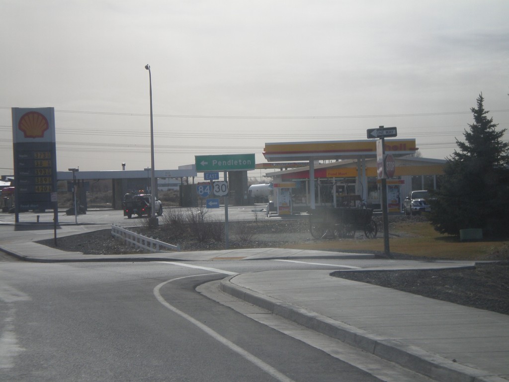
S. Main St. at I-84 East
S. Main St. at I-84/US-30 east. Turn left for I-84/US-30 to Pendleton.
Taken 02-22-2012

 Boardman
Morrow County
Oregon
United States
Boardman
Morrow County
Oregon
United States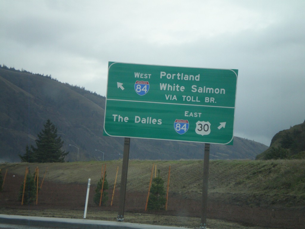
OR-35 South/US-30 East at I-84
OR-35 South/US-30 East at I-84. Turn right for I-84/US-30 East to The Dalles. Continue ahead for OR-35 to White Salmon (Washington) via Toll Bridge and I-84 west to Portland.
Taken 02-22-2012
 Hood River
 County
Oregon
United States
Hood River
Hood River County
Oregon
United States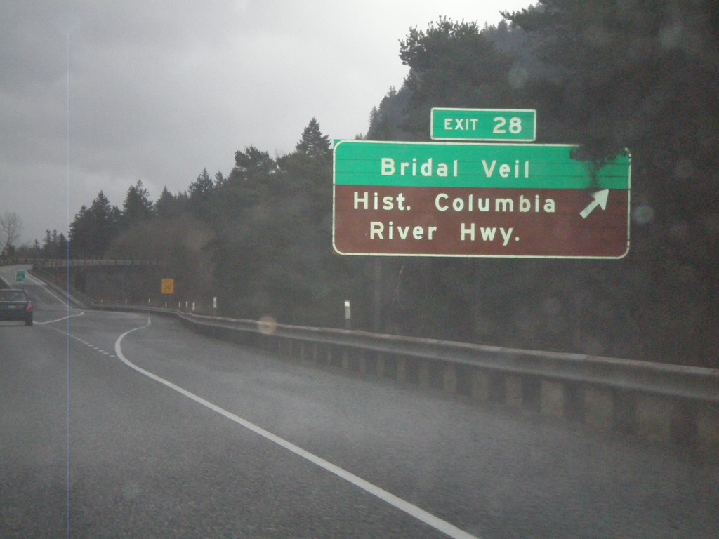
I-84 East - Exit 28
I-84 east at Exit 28 - Bridal Veil/Historic Columbia River Highway.
Taken 02-21-2012
Bridal Veil
Multnomah County
Oregon
United States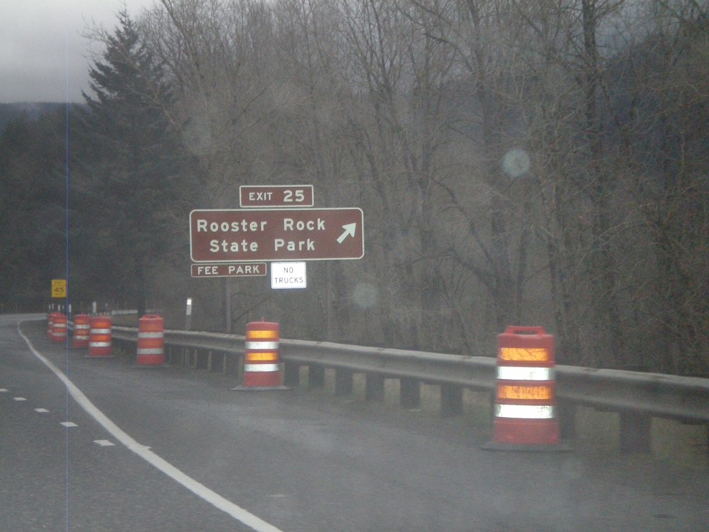
I-84 East - Exit 25
I-84 east at Exit 25 - Rooster Rock State Park. Use Exit 25 for Rooster Rock State Recreation Area.
Taken 02-21-2012
Corbett
Multnomah County
Oregon
United States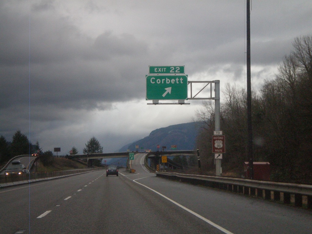
I-84 East - Exit 22
I-84 east at Exit 22 - Corbett.
Taken 02-21-2012
Corbett
Multnomah County
Oregon
United States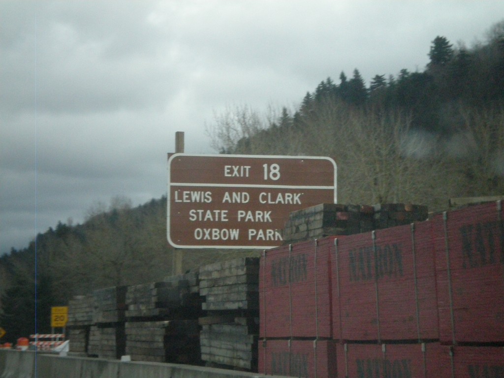
I-84 East - Exit 18
I-84 east at Exit 18 - Lewis and Clark State Park/Oxbow Park. This bridge over the Sandy River on the approach to this interchange is under construction when this photograph was taken.
Taken 02-21-2012
Troutdale
Multnomah County
Oregon
United States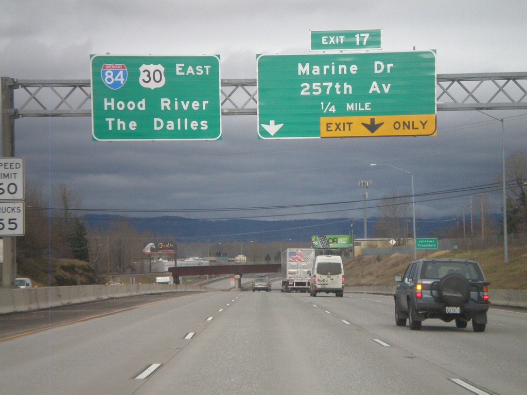
I-84 East Approaching Exit 17
I-84 east approaching Exit 17 - Marine Drive/257th Ave. Continue east on I-84/US-30 for The Dalles and Hood River.
Taken 02-21-2012
Troutdale
Multnomah County
Oregon
United States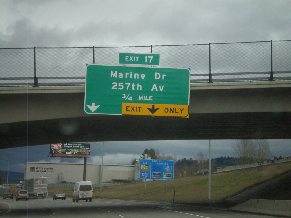
I-84 East Approaching Exit 17
I-84 east approaching Exit 17 - Marine Drive/257th Ave.
Taken 02-21-2012
Troutdale
Multnomah County
Oregon
United States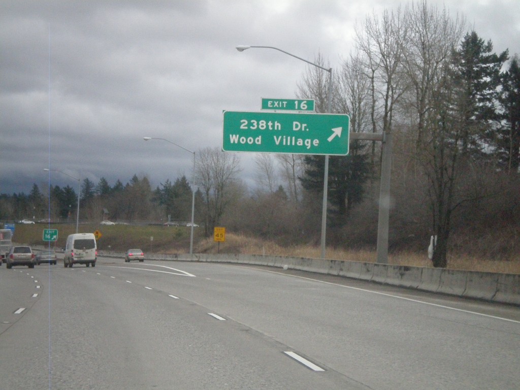
I-84 East - Exit 16
I-84 east at Exit 16 - 238th Drive/Wood Village.
Taken 02-21-2012
Fairview
Multnomah County
Oregon
United States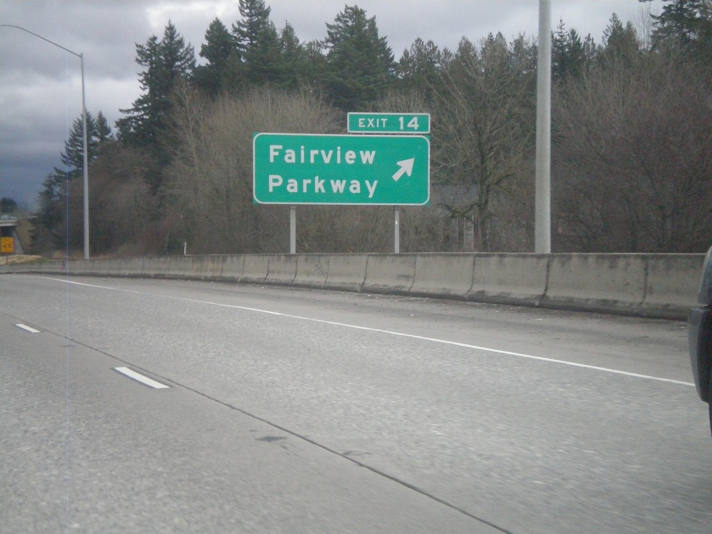
I-84 East - Exit 14
I-84/US-30 east at Exit 14 - Fairview Parkway.
Taken 02-21-2012
Fairview
Multnomah County
Oregon
United States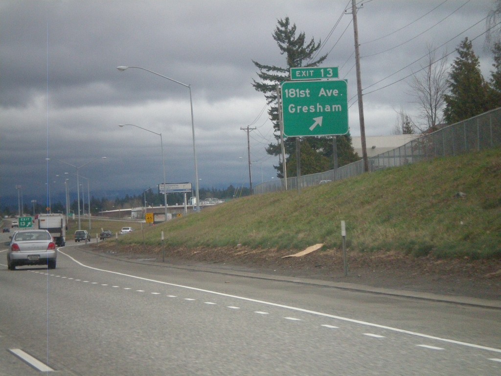
I-84 East - Exit 13
I-84/US-30 East at Exit 13 - 181st Ave./Gresham.
Taken 02-21-2012
Portland
Multnomah County
Oregon
United States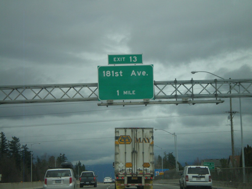
I-84 East Approaching Exit 13
I-84/US-30 East approaching Exit 13 - 181st Ave.
Taken 02-21-2012
Portland
Multnomah County
Oregon
United States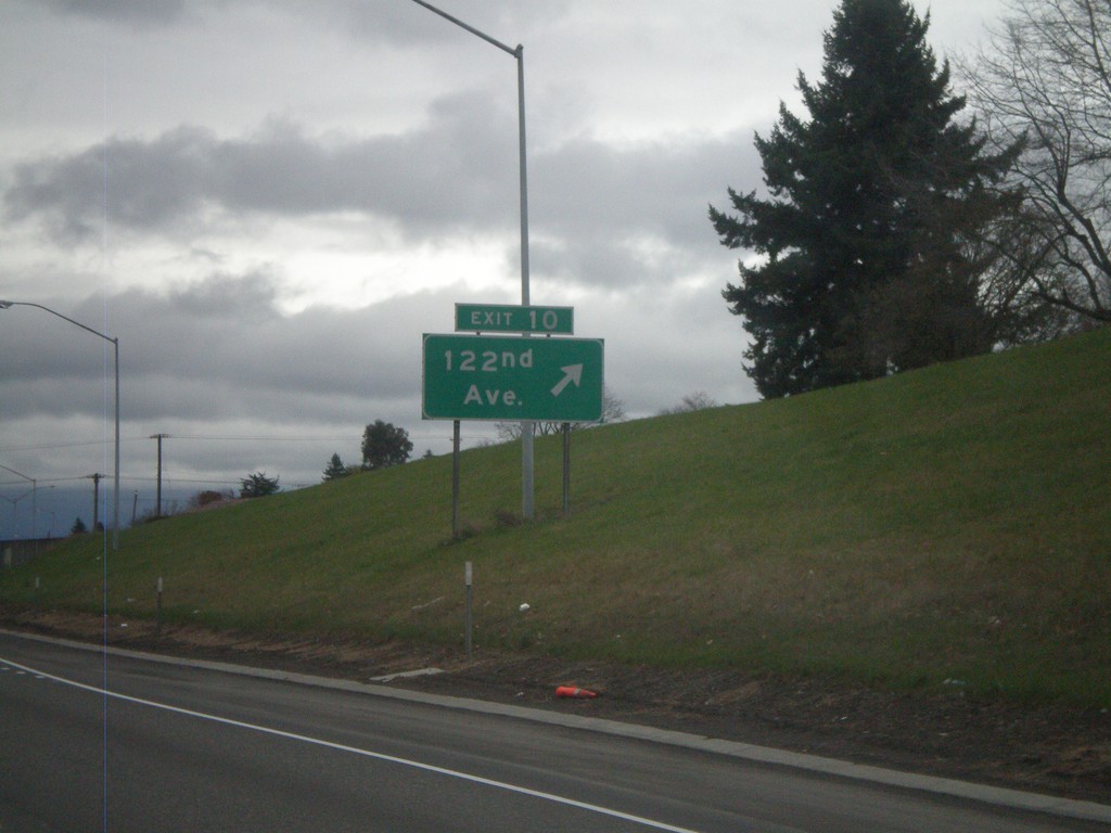
I-84 East - Exit 10
I-84 east at Exit 10 - 122nd Ave.
Taken 02-21-2012
Portland
Multnomah County
Oregon
United States