Signs Tagged With Interchange
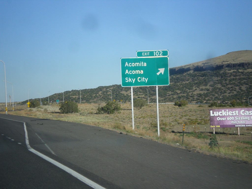
I-40 East - Exit 102
I-40 east at Exit 102 - Acomita/Acoma/Sky City.
Taken 10-10-2012
 North Acomita Village
Cibola County
New Mexico
United States
North Acomita Village
Cibola County
New Mexico
United States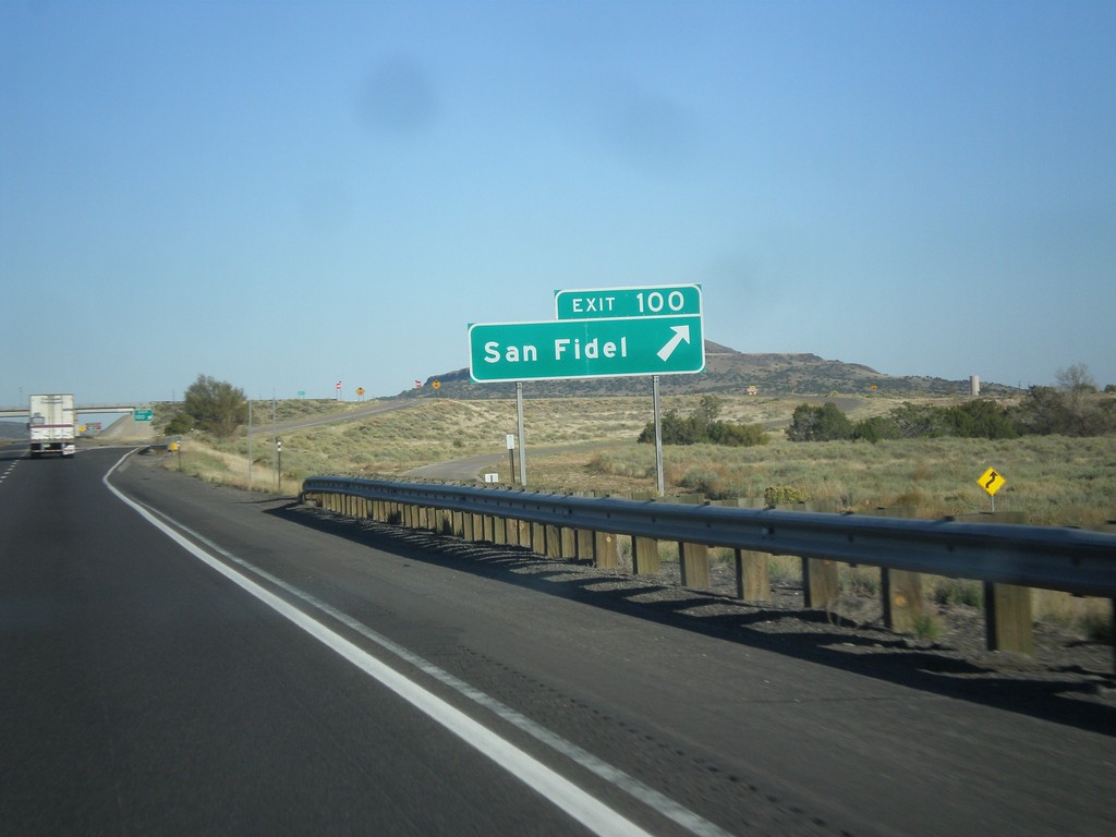
I-40 East - Exit 100
I-40 east at Exit 100 - San Fidel.
Taken 10-10-2012
Acomita Lake
Cibola County
New Mexico
United States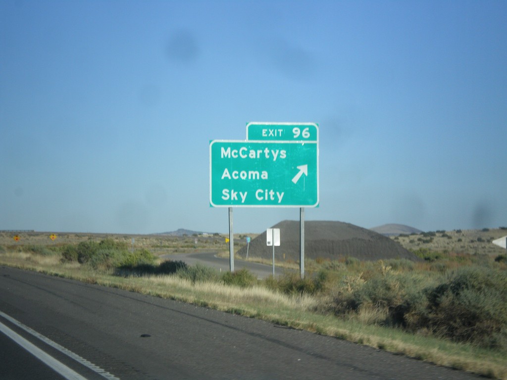
I-40 East - Exit 96
I-40 east at Exit 96 - McCartys/Acoma/Sky City.
Taken 10-10-2012
Acomita Lake
Cibola County
New Mexico
United States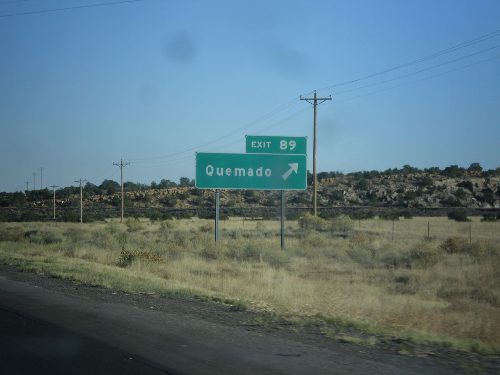
I-40 East - Exit 89
I-40 east at Exit 89 - Quemado. This road is also NM-117.
Taken 10-10-2012
 Grants
Cibola County
New Mexico
United States
Grants
Cibola County
New Mexico
United States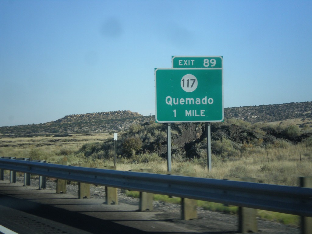
I-40 East Approaching Exit 89
I-40 east approaching Exit 89 - NM-117/Quemado.
Taken 10-10-2012
Grants
Cibola County
New Mexico
United States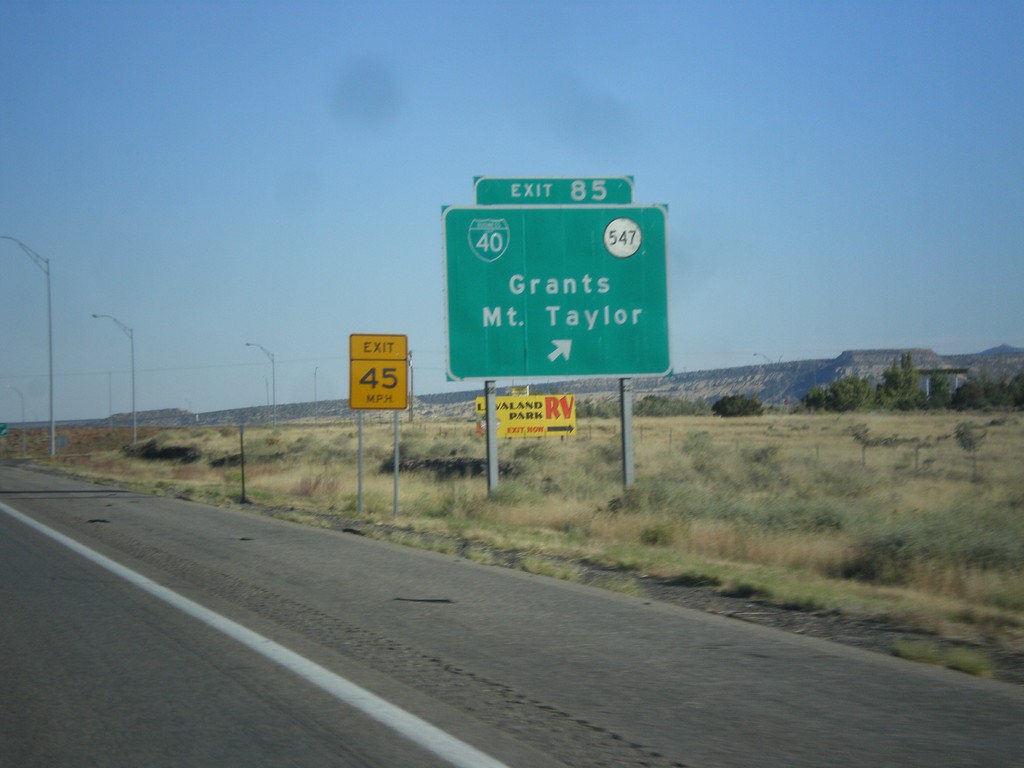
I-40 East - Exit 85
I-40 east at Exit 85 - BL-40/NM-547/Grants/Mt. Taylor. This is the east end of the Grants business loop.
Taken 10-10-2012

 Grants
Cibola County
New Mexico
United States
Grants
Cibola County
New Mexico
United States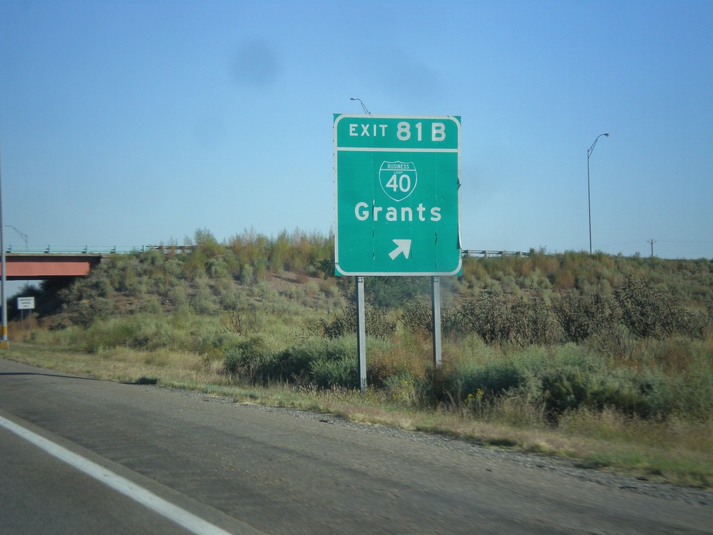
I-40 East - Exit 81B
I-40 east at Exit 81B - BL-40/Grants.
Taken 10-10-2012
Grants
Cibola County
New Mexico
United States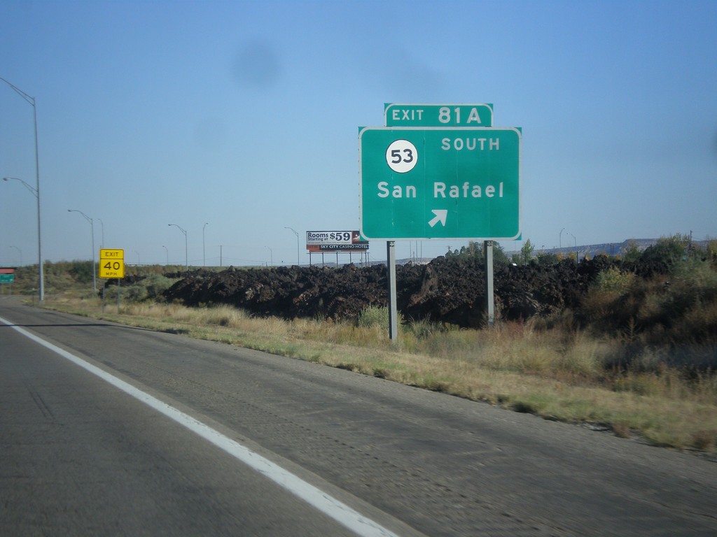
I-40 East - Exit 81A
I-40 east at Exit 81A - NM-53 South/San Rafael.
Taken 10-10-2012
 Grants
Cibola County
New Mexico
United States
Grants
Cibola County
New Mexico
United States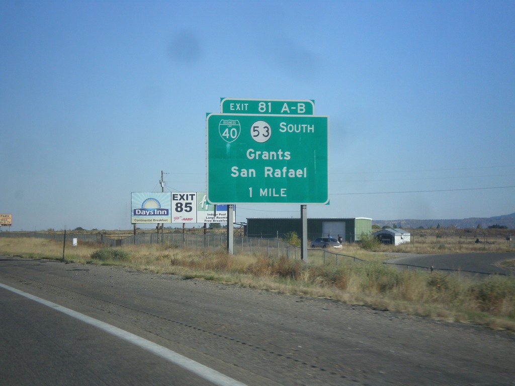
I-40 East - Exit 81AB
I-40 east at Exit 81 AB - BL-40/NM-53 South/Grants/San Rafael. The is the west end of the Grants business loop.
Taken 10-10-2012
Grants
Cibola County
New Mexico
United States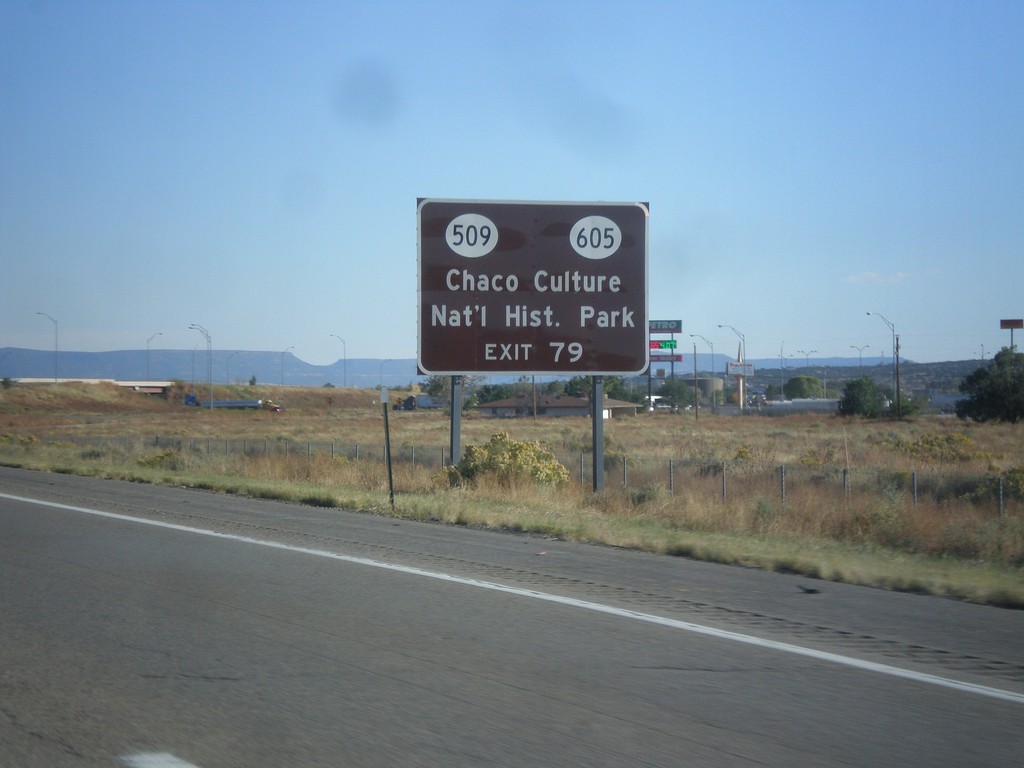
I-40 East Approaching Exit 79
I-40 east approaching Exit 79 - BL-40/NM-112/NM-605/San Mateo. Use Exit 79 for Chaco Culture National Historic Park via NM-605 and NM-509.
Taken 10-10-2012


 Grants
Cibola County
New Mexico
United States
Grants
Cibola County
New Mexico
United States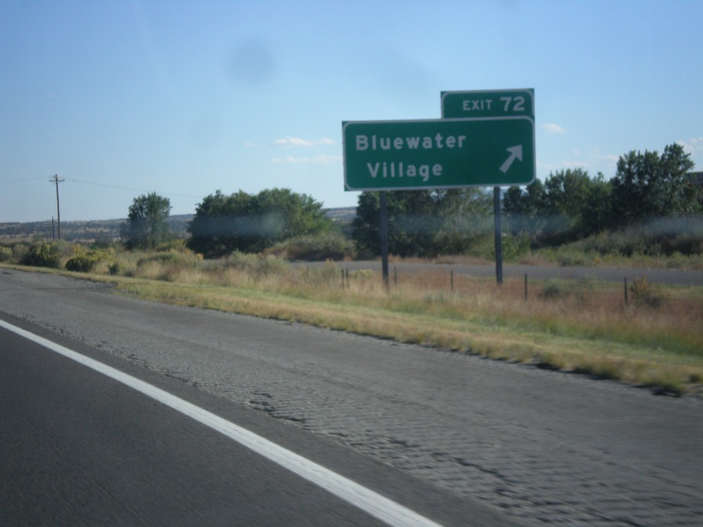
I-40 East - Exit 72
I-40 east at Exit 72 - Bluewater Village.
Taken 10-10-2012
Bluewater
Cibola County
New Mexico
United States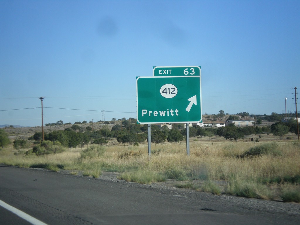
I-40 East - Exit 63
I-40 east at Exit 63 - NM-412/Prewitt.
Taken 10-10-2012
 Prewitt
McKinley County
New Mexico
United States
Prewitt
McKinley County
New Mexico
United States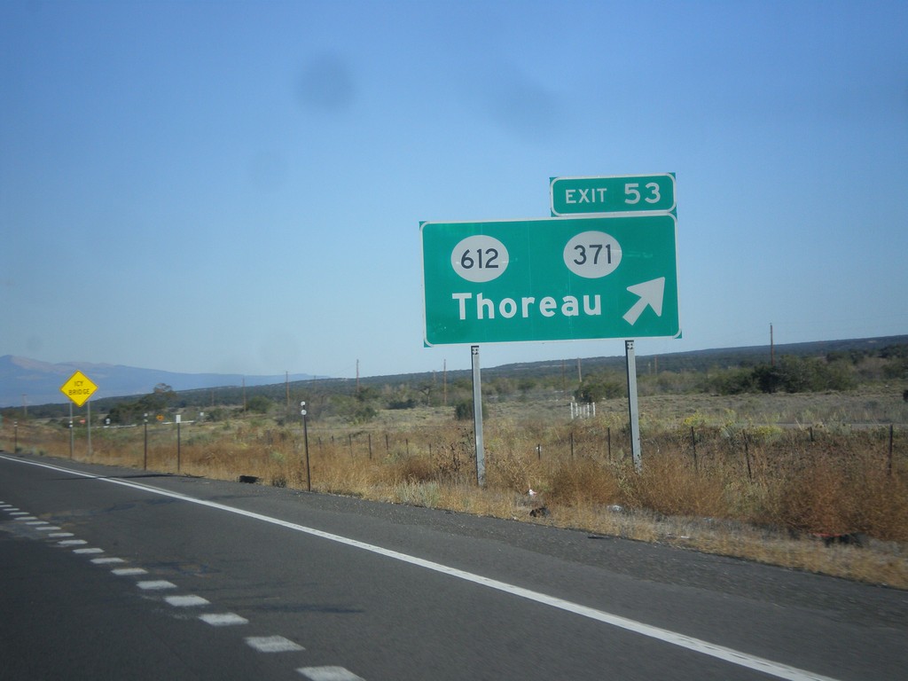
I-40 East - Exit 53
I-40 east at Exit 53 - NM-371/NM-612/Thoreau.
Taken 10-10-2012

 Thoreau
McKinley County
New Mexico
United States
Thoreau
McKinley County
New Mexico
United States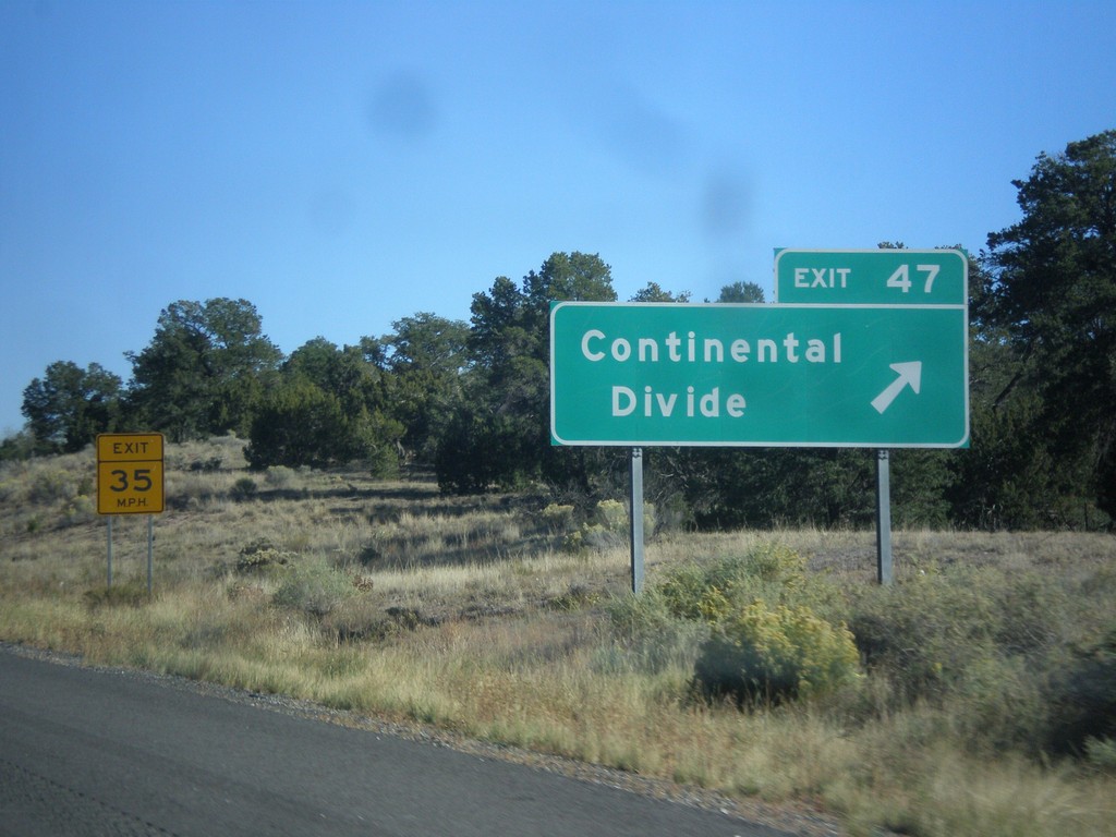
I-40 East - Exit 47
I-40 east at Exit 47 - Continental Divide. I-40 crosses the Continental Divide here, between the Colorado River drainage (west) and the Rio Grande drainage (east).
Taken 10-10-2012
Continental Divide
McKinley County
New Mexico
United States
I-40 East Approaching Exit 47
I-40 east approaching Exit 47 - Continental Divide/Historic US-66 Route.
Taken 10-10-2012
Continental Divide
McKinley County
New Mexico
United States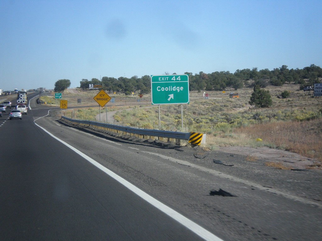
I-40 East - Exit 44
I-40 east at Exit 44 - Coolidge.
Taken 10-10-2012
Coolidge
McKinley County
New Mexico
United States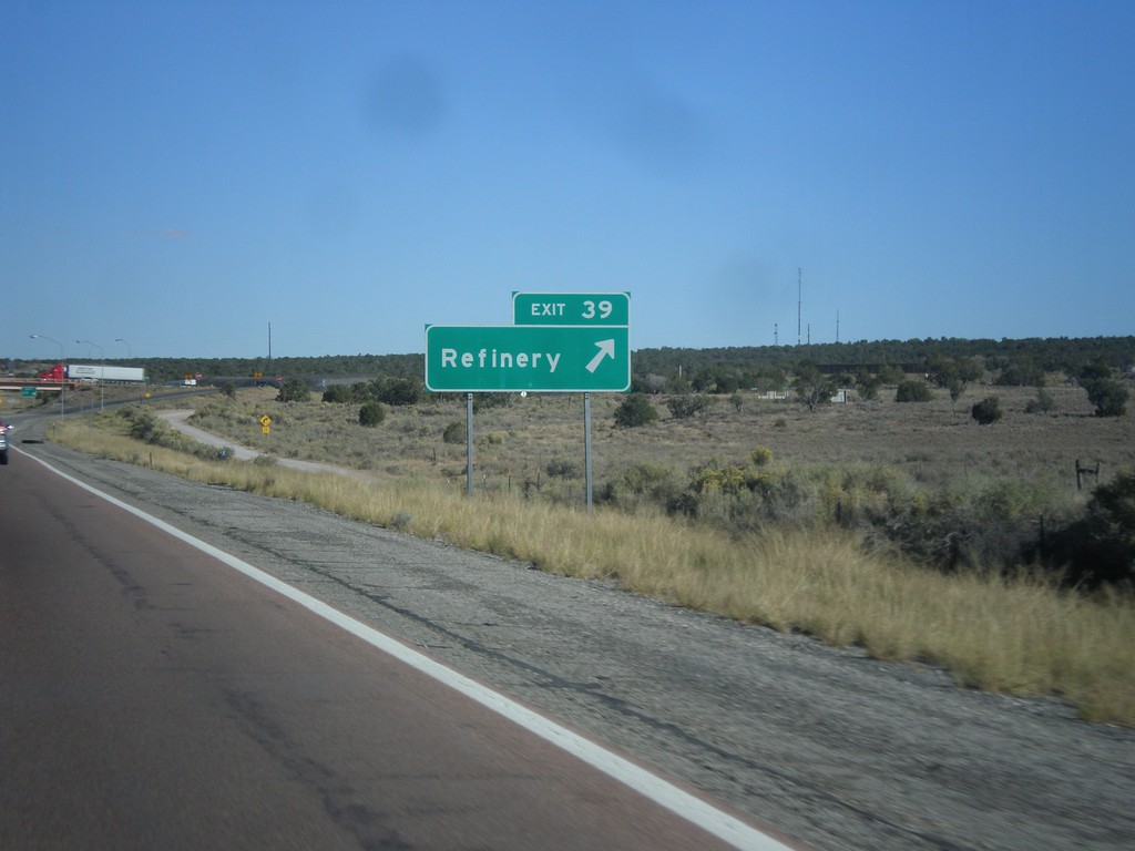
I-40 East - Exit 39
I-40 east at Exit 39 - Refinery. Exit here for the Gallup Refinery.
Taken 10-10-2012
Jamestown
McKinley County
New Mexico
United States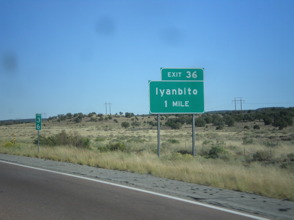
I-40 East Approaching Exit 36
I-40 east approaching Exit 36 - Iyanbito.
Taken 10-10-2012
Fort Wingate
McKinley County
New Mexico
United States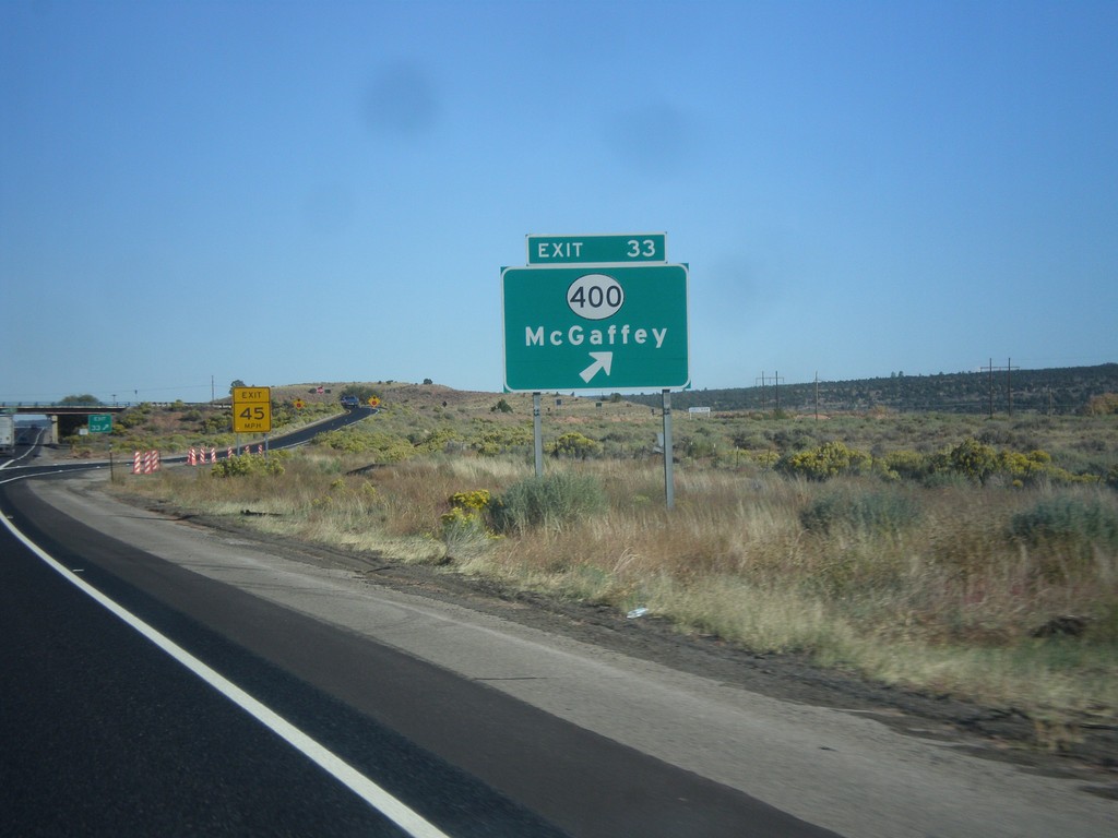
I-40 East - Exit 33
I-40 east at Exit 33 - NM-400/McGaffey.
Taken 10-10-2012
 Fort Wingate
McKinley County
New Mexico
United States
Fort Wingate
McKinley County
New Mexico
United States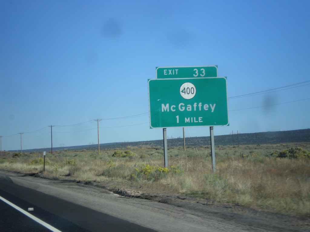
I-40 East Approaching Exit 33
I-40 east approaching Exit 33 - NM-400/McGaffey.
Taken 10-10-2012
Fort Wingate
McKinley County
New Mexico
United States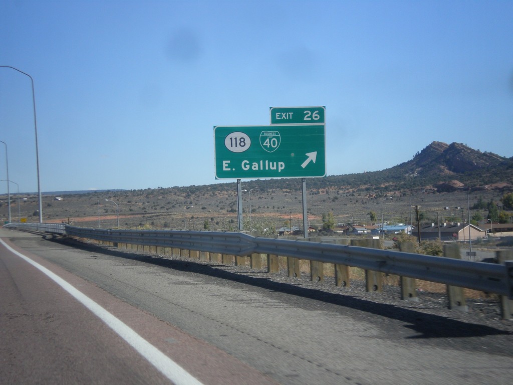
I-40 East - Exit 26
I-40 east at Exit 26 - BL-40/NM-118/East Gallup. This is the eastern end of the Gallup business loop.
Taken 10-10-2012
 Gallup
McKinley County
New Mexico
United States
Gallup
McKinley County
New Mexico
United States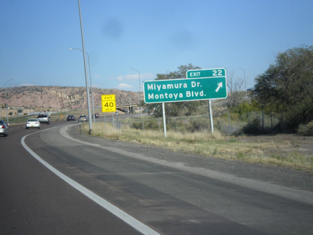
I-40 East - Exit 22
I-40 east at Exit 22 - Miyamura Drive/Montoya Blvd.
Taken 10-10-2012
Gallup
McKinley County
New Mexico
United States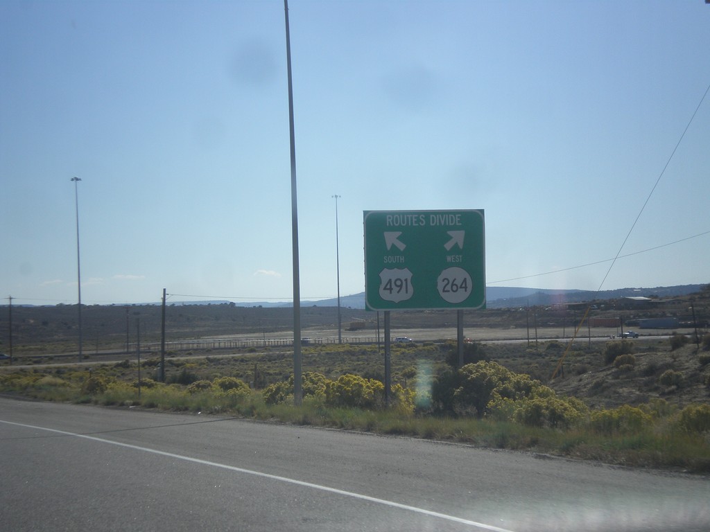
US-491 South at NM-264
US-491 south at NM-264. Use left lane for US-491 south; right lane for NM-264 west.
Taken 10-10-2012

 Yah-ta-hey
McKinley County
New Mexico
United States
Yah-ta-hey
McKinley County
New Mexico
United States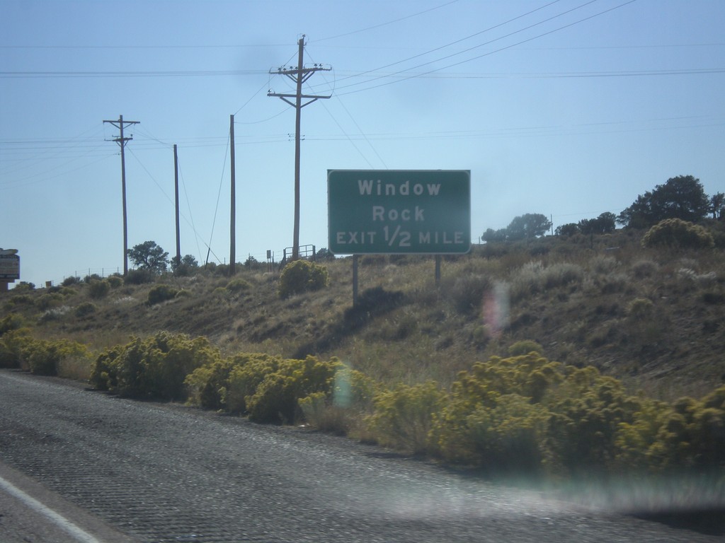
US-491 South Approaching NM-264
US-491 south approaching NM-264 west to Window Rock.
Taken 10-10-2012
Gallup
McKinley County
New Mexico
United States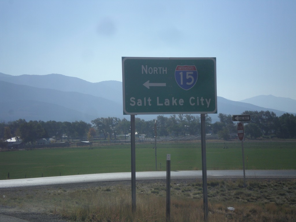
US-50 East at I-15 North
US-50 east at I-15 north to Salt Lake City. US-50 joins I-15 south to Holden.
Taken 10-07-2012

 Scipio
Millard County
Utah
United States
Scipio
Millard County
Utah
United States