Signs Tagged With Interchange
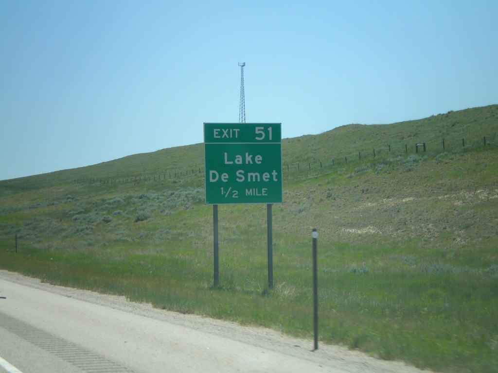
I-90 East - Exit 51
I-90 east approaching Exit 51 - Lake De Smet.
Taken 07-03-2011

 Buffalo
Johnson County
Wyoming
United States
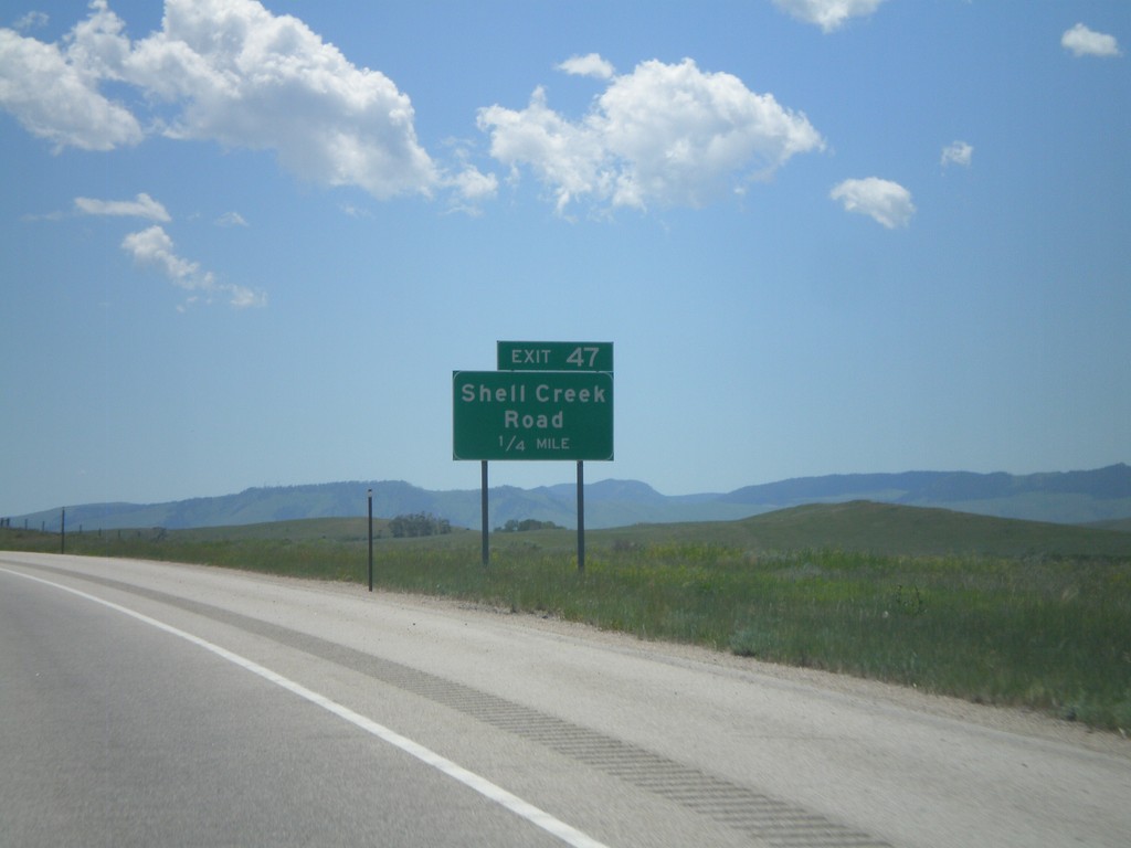
I-90 East - Exit 47
I-90 east approaching Exit 47 - Shell Creek Road.
Taken 07-03-2011

 Kearny
Johnson County
Wyoming
United States
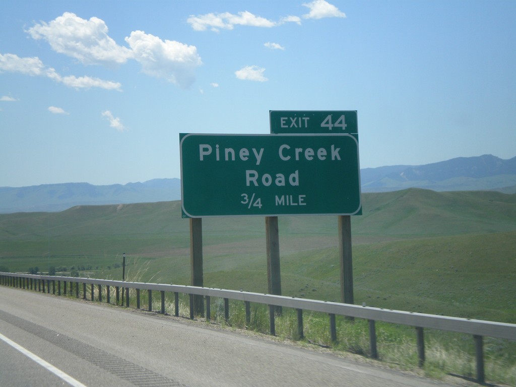
I-90 East - Exit 44
I-90 east approaching Exit 44 - Piney Creek Road. US-87 south joins I-90 east here to Buffalo.
Taken 07-03-2011

 Banner
Johnson County
Wyoming
United States
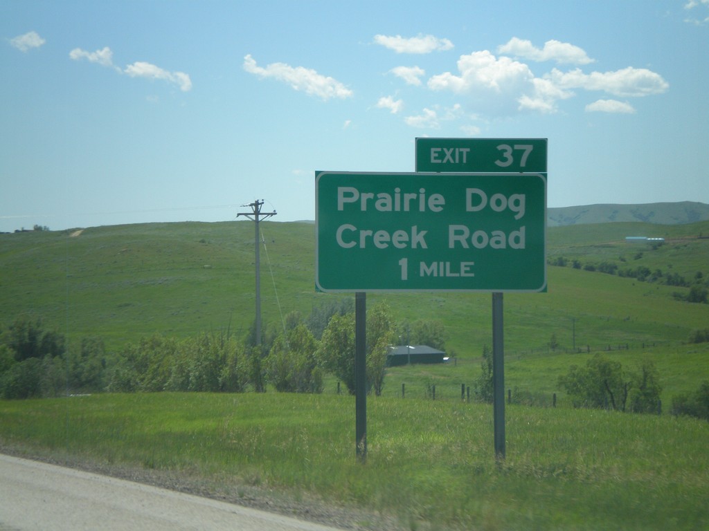
I-90 East - Exit 37
I-90 east approaching Exit 37 - Prairie Dog Creek Road.
Taken 07-03-2011
 Banner
Sheridan County
Wyoming
United States
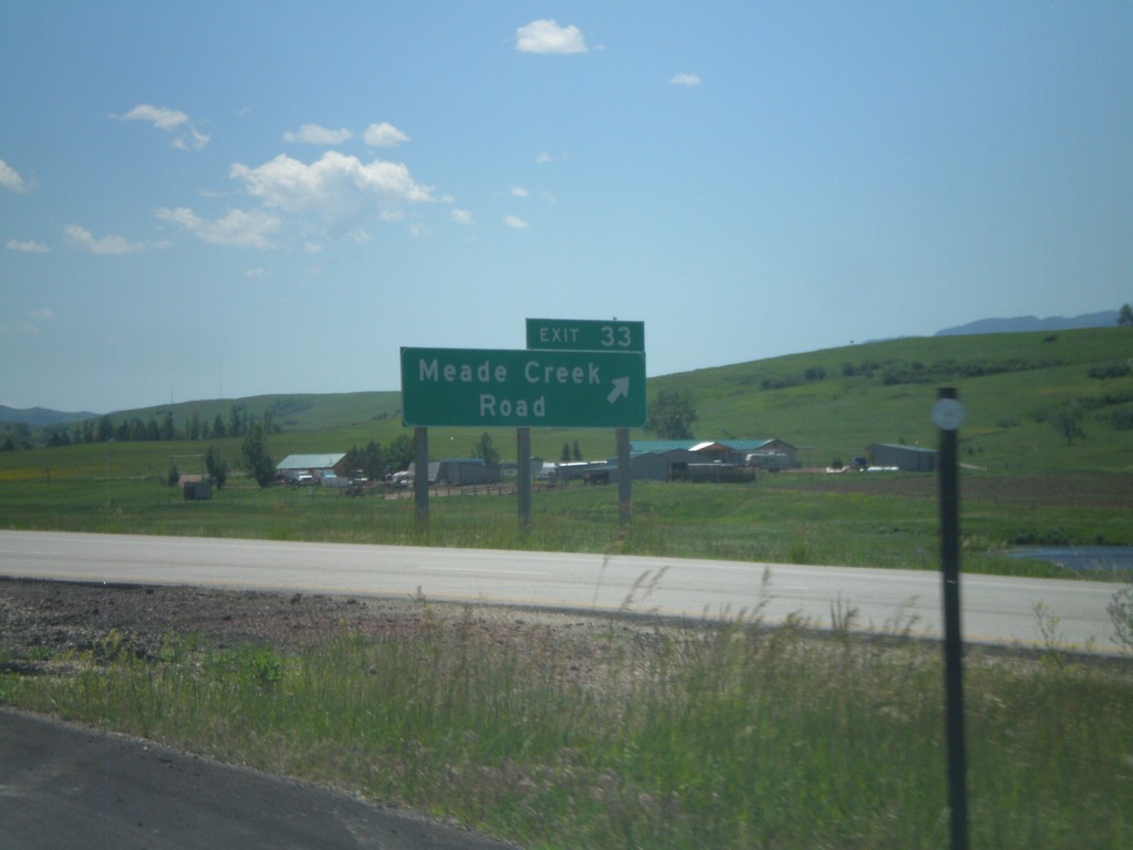
I-90 East - Exit 33
I-90 east at Exit 33 - Meade Creek Road. Use Exit 33 for WY-342 (unsigned).
Taken 07-03-2011

 Big Horn
Sheridan County
Wyoming
United States
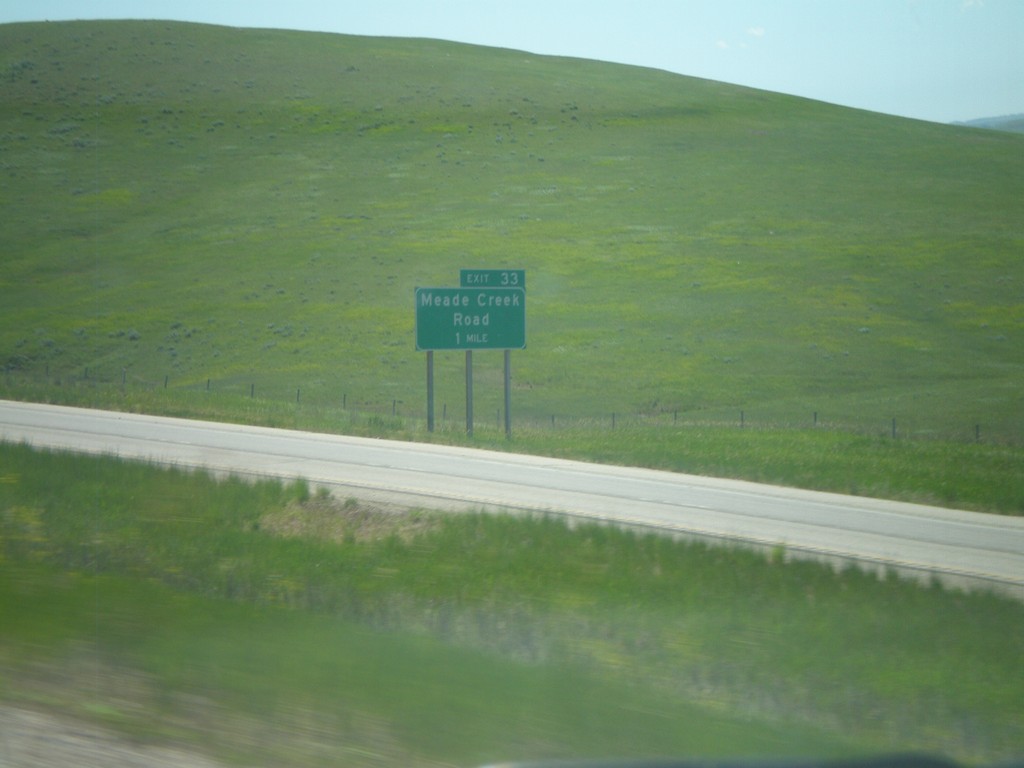
I-90 East - Exit 33
I-90 east approaching Exit 33 - Meade Creek Road.
Taken 07-03-2011

 Sheridan
 County
Wyoming
United States
Sheridan
Sheridan County
Wyoming
United States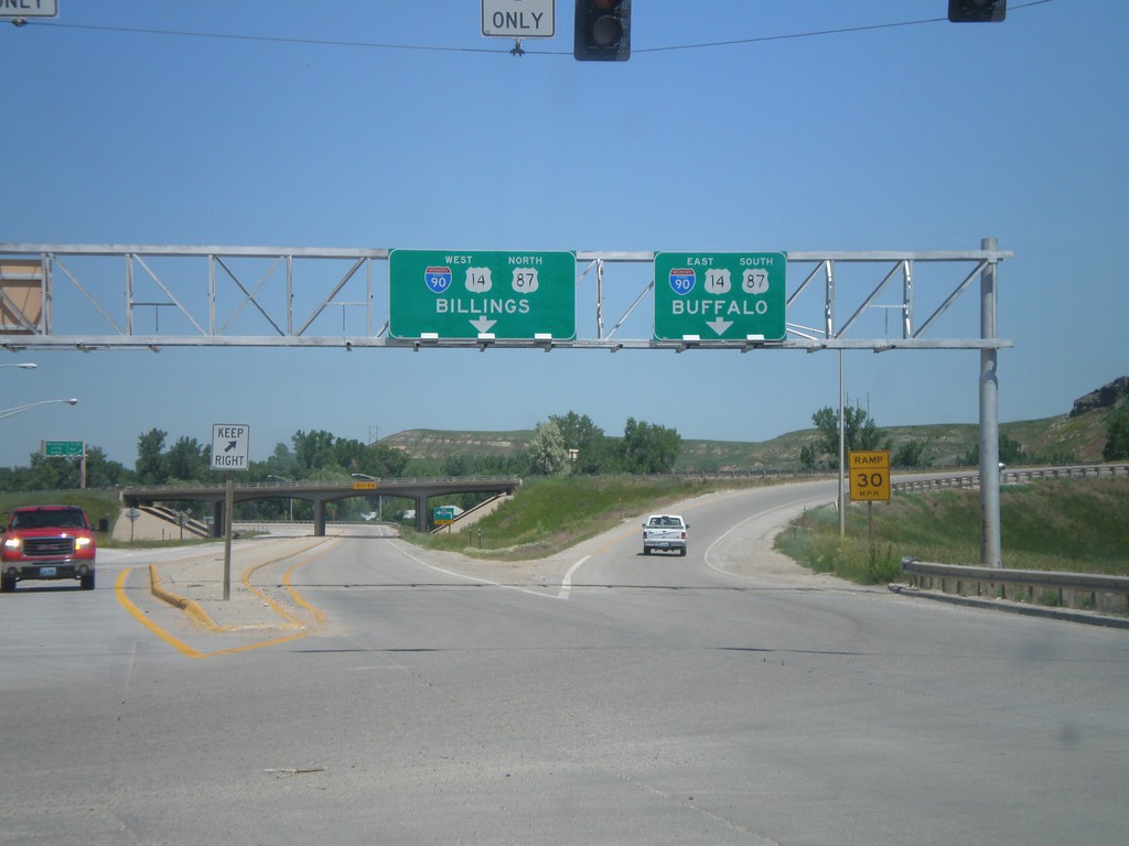
End BL-90 West at I-90/US-14/US-87
End BL-90/Bus. US-14 West/Bus. US-87 North at I-90/US-14/US-87. Use I-90/US-14 West/US-87 north for Billings (Montana); use I-90/US-14 East/US-87 South for Buffalo. This is the western end of the Sheridan business loop.
Taken 07-03-2011


 Sheridan
 County
Wyoming
United States
Sheridan
Sheridan County
Wyoming
United States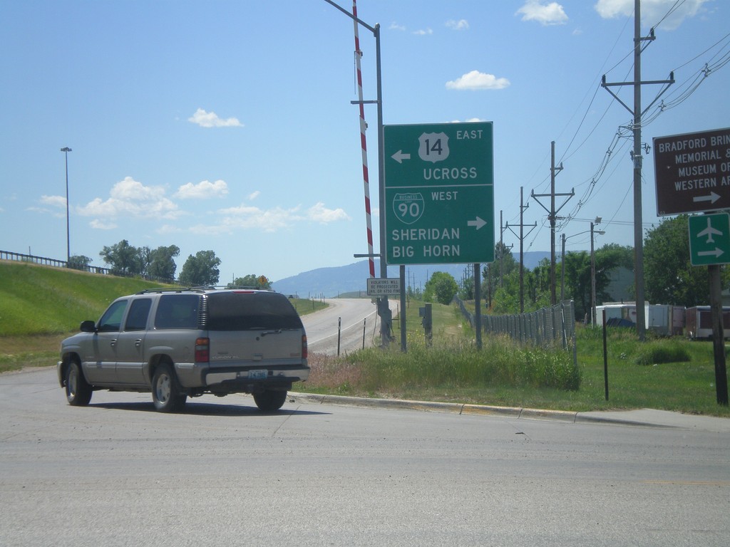
I-90 East Exit 25 Offramp at US-14/BL-90
Bottom of I-90 East, Exit 25 offramp in Sheridan. Turn right for US-14 east to Ucross; left for BL-90 for Downtown Sheridan. Also turn left for (unsigned) US-87 to Big Horn. This is the eastern end of the Sheridan business loop.
Taken 07-03-2011


 Sheridan
 County
Wyoming
United States
Sheridan
Sheridan County
Wyoming
United States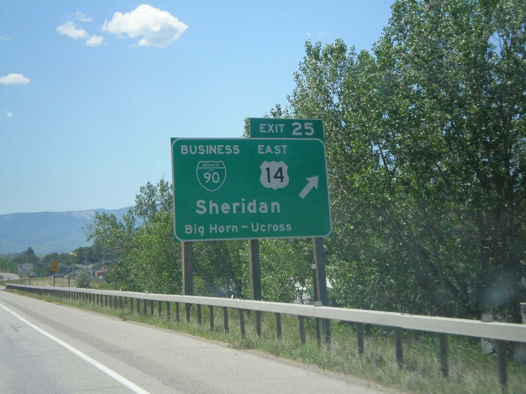
I-90 East - Exit 25
I-90 east at Exit 25 - BL-90/US-14 East/Sheridan/Big Horn/Ucross. This is the eastern end of the Sheridan business loop. US-14 leaves I-90 here and heads east towards Ucross. US-87 also leaves I-90 east here.
Taken 07-03-2011


 Sheridan
 County
Wyoming
United States
Sheridan
Sheridan County
Wyoming
United States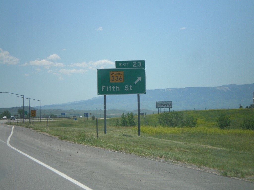
I-90 East - Exit 23
I-90 east at Exit 23 - WY-336/Main St.
Taken 07-03-2011


 Sheridan
 County
Wyoming
United States
Sheridan
Sheridan County
Wyoming
United States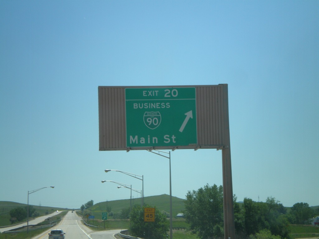
I-90 East - Exit 20
I-90 east at Exit 20 - BL-90/Main St. This is the western end of the Sheridan Business Loop. The style of this overhead is not usual in Wyoming, and looks like the type of overheads seen in California.
Taken 07-03-2011


 Sheridan
 County
Wyoming
United States
Sheridan
Sheridan County
Wyoming
United States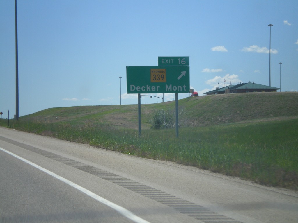
I-90 East - Exit 16
I-90 east at Exit 16 - WY-339/Decker, Mont.
Taken 07-03-2011


 Sheridan
 County
Wyoming
United States
Sheridan
Sheridan County
Wyoming
United States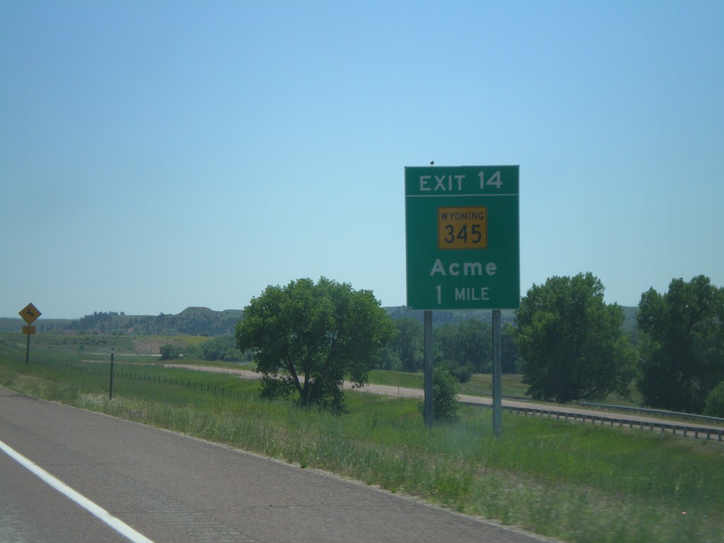
I-90 East - Exit 14
I-90 east approaching Exit 14 - WY-345/Acme.
Taken 07-03-2011


 Ranchester
Sheridan County
Wyoming
United States
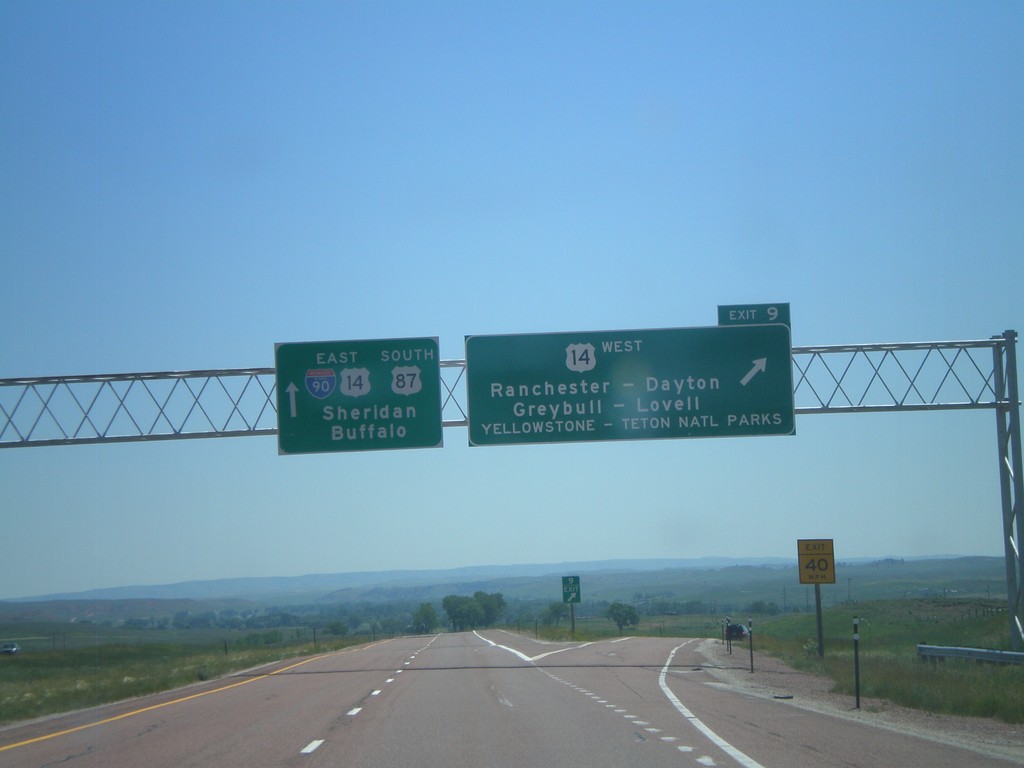
I-90 East - Exit 9
I-90 east at Exit 9 - US-14 West/Ranchester/Dayton/Greybull/Lovell/Yellowstone - Teton National Parks. I-90/US-14/US-87 continues east towards Sheridan and Buffalo. US-14 joins I-90 east to Sheridan.
Taken 07-03-2011


 Ranchester
Sheridan County
Wyoming
United States
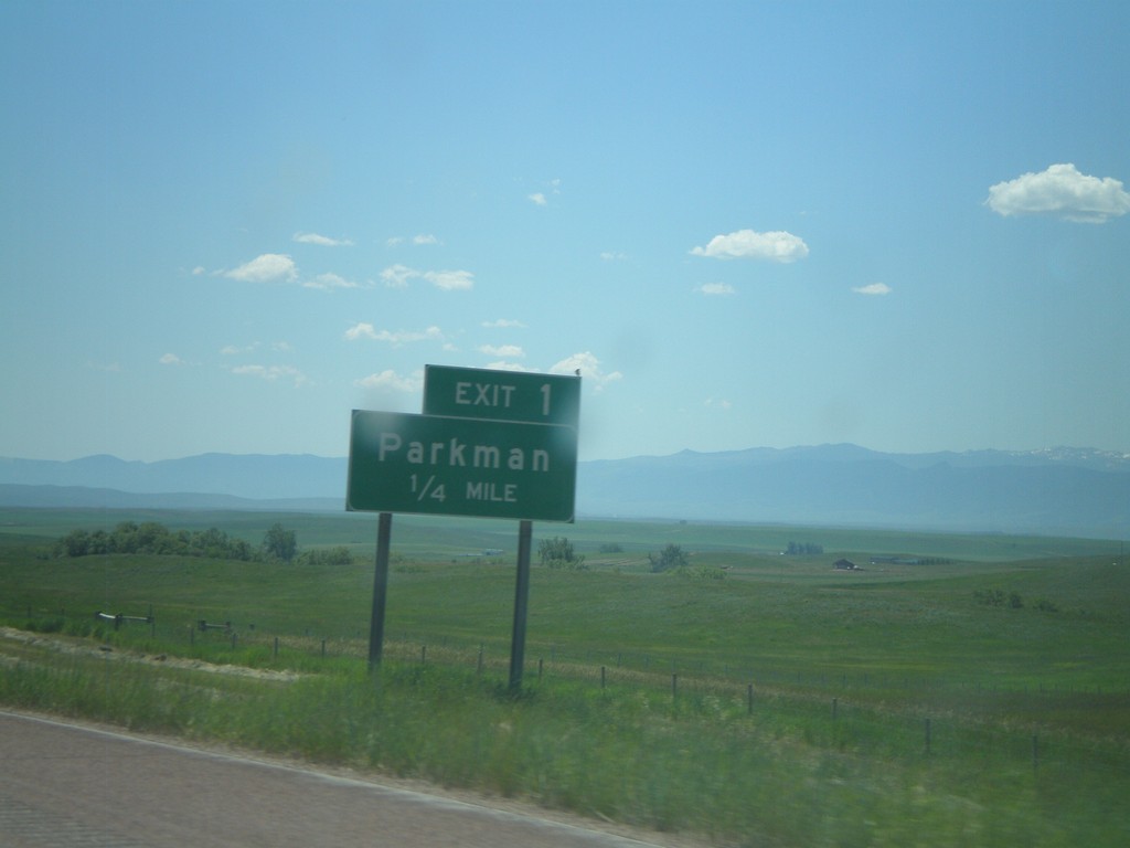
I-90 East - Exit 1
I-90 east at Exit 1 - Parkman. This is the first exit on I-90 east in Wyoming.
Taken 07-03-2011

 Parkman
Sheridan County
Wyoming
United States
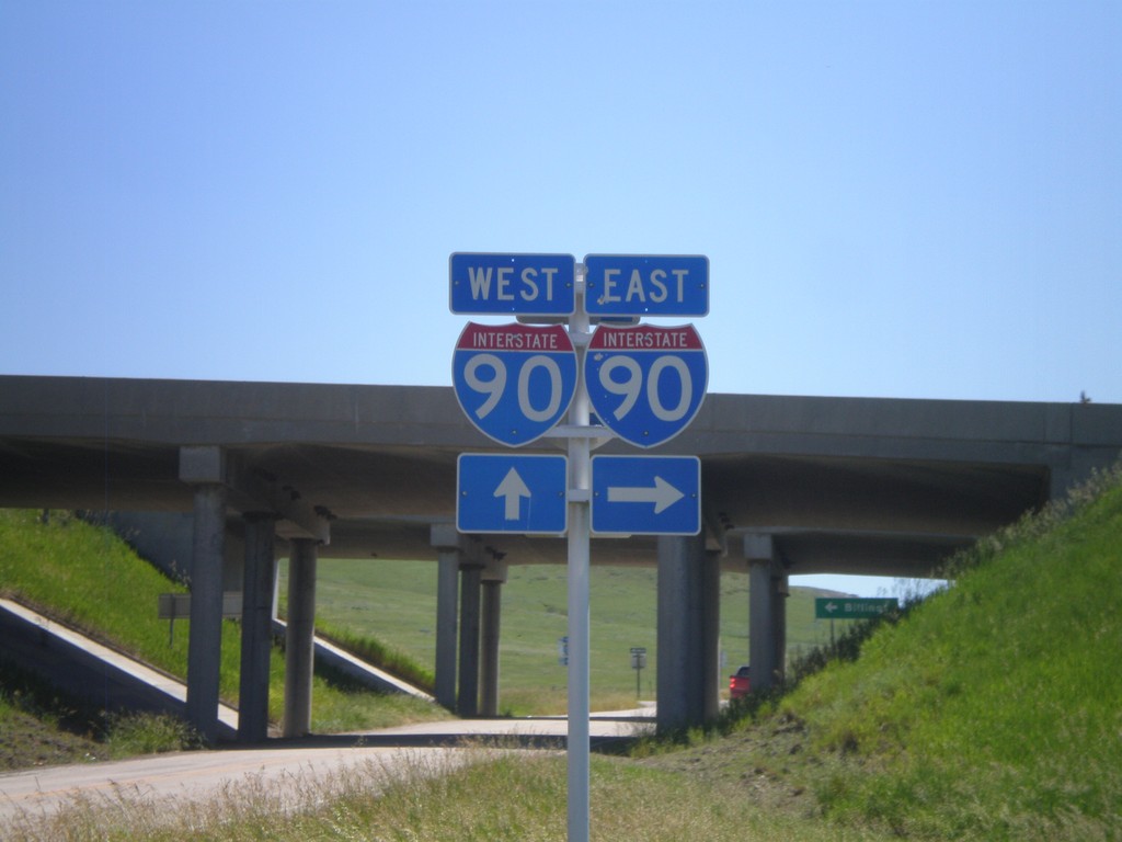
I-90 Onramps at Exit 549
I-90 onramp at Exit 549. Turn right for I-90 east; continue ahead under the underpass for I-90 west.
Taken 07-03-2011

 Aberdeen
Big Horn County
Montana
United States
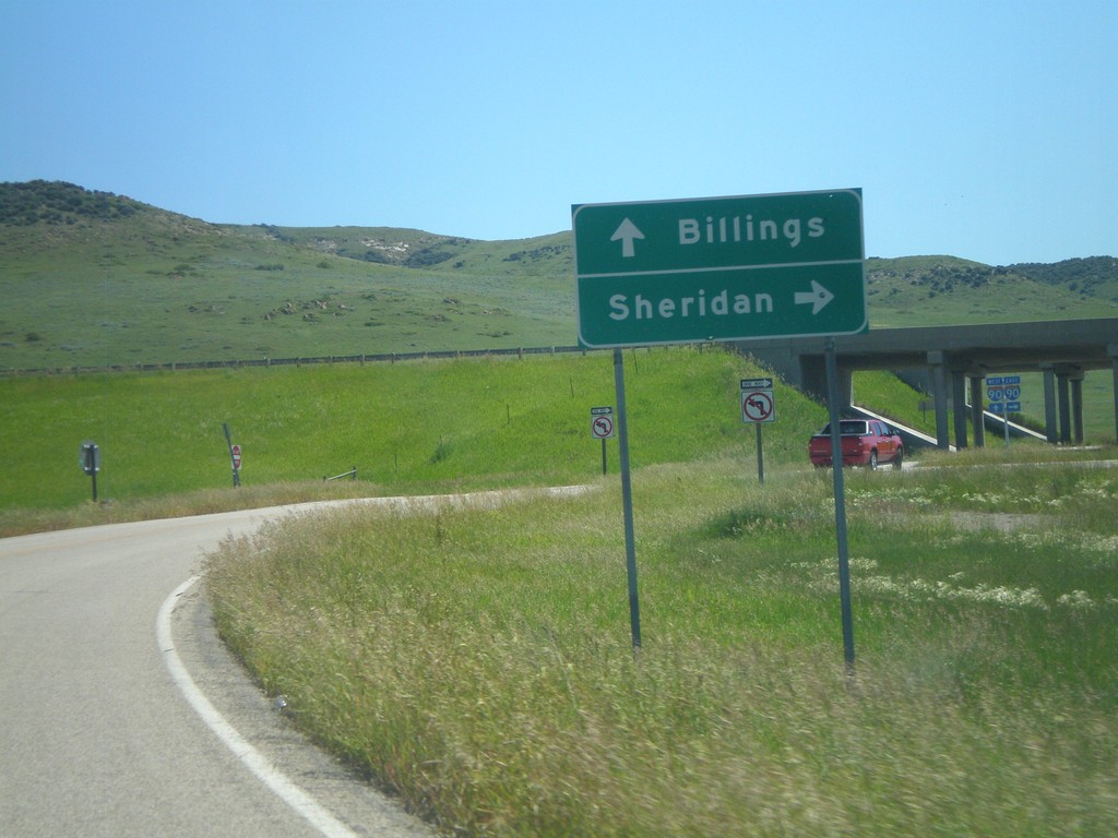
Approaching I-90 (Exit 549)
Approaching I-90 (Exit 549) on Aberdeen Road. Use I-90 east for Sheridan (Wyoming); I-90 west for Billings.
Taken 07-03-2011

 Wyola
Big Horn County
Montana
United States
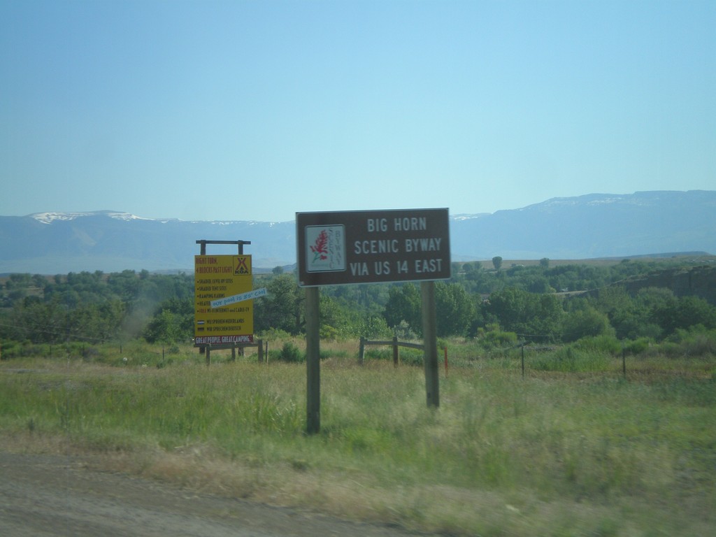
US-14 Scenic Byway Information on US-16/US-20 West/WY-789 North
Scenic Byway information for US-14 on US-16/US-20 West/WY-789 North approaching Greybull. Use US-14 East for the Big Horn Scenic Byway.
Taken 07-03-2011


 Greybull
Big Horn County
Wyoming
United States
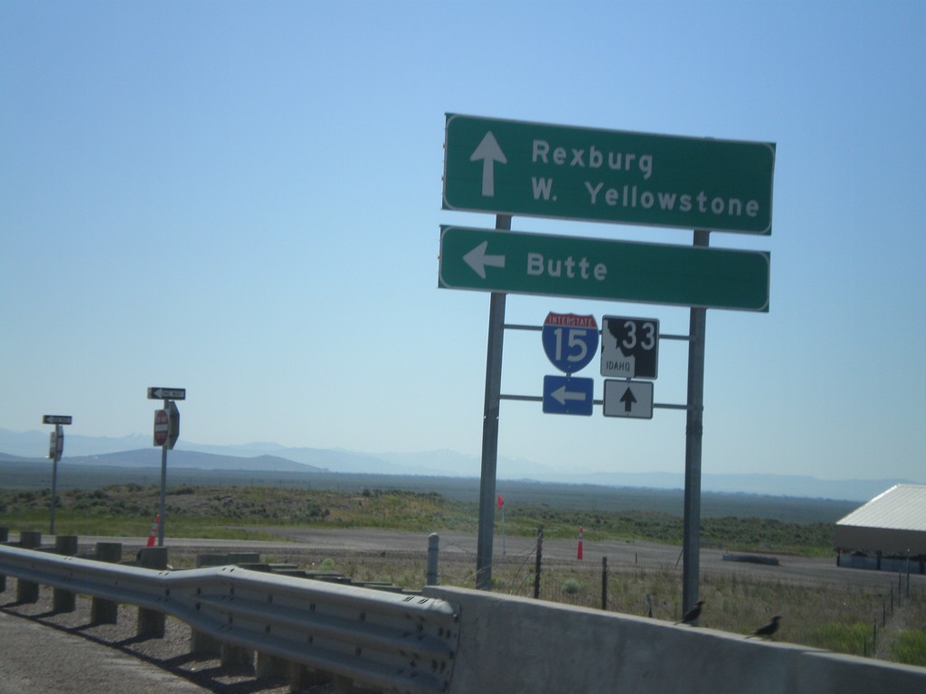
ID-33 East at I-15 North
ID-33 East at I-15 North (Exit 143). Use I-15 North for Butte (Montana). Continue east on ID-33 for Rexburg and West Yellowstone (Montana).
Taken 07-02-2011

 Roberts
Jefferson County
Idaho
United States
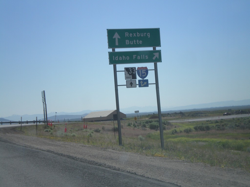
ID-33 East at I-15 South
ID-33 east at I-15 south to Idaho Falls. Continue over overpass for I-15 north onramp to Butte (Montana). Continue east on ID-33 for Rexburg.
Taken 07-02-2011

 Sage Junction
Jefferson County
Idaho
United States
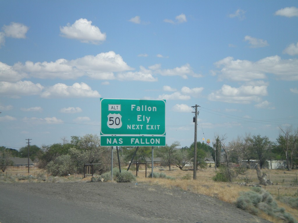
I-80 East Approaching Exit 48
I-80 east approaching Exit 48. Use Exit 48 for Fallon and Ely via Alt. US-50 east.
Taken 06-13-2011


 Fernley
Lyon County
Nevada
United States
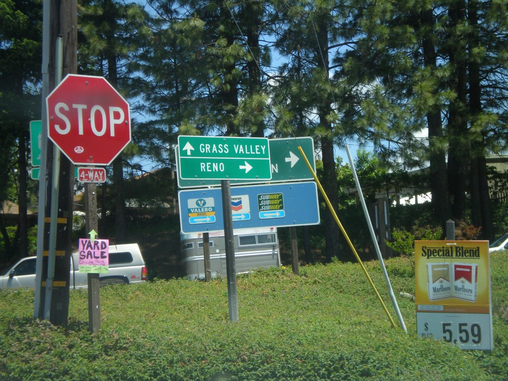
S. Auburn St. at I-80 Onramp and CA-174 Jct.
S. Auburn St. at I-80 East onramp and CA-174. Turn right for I-80 east to Reno; continue ahead for CA-174 West to Grass Valley.
Taken 06-13-2011

 Colfax
Placer County
California
United States
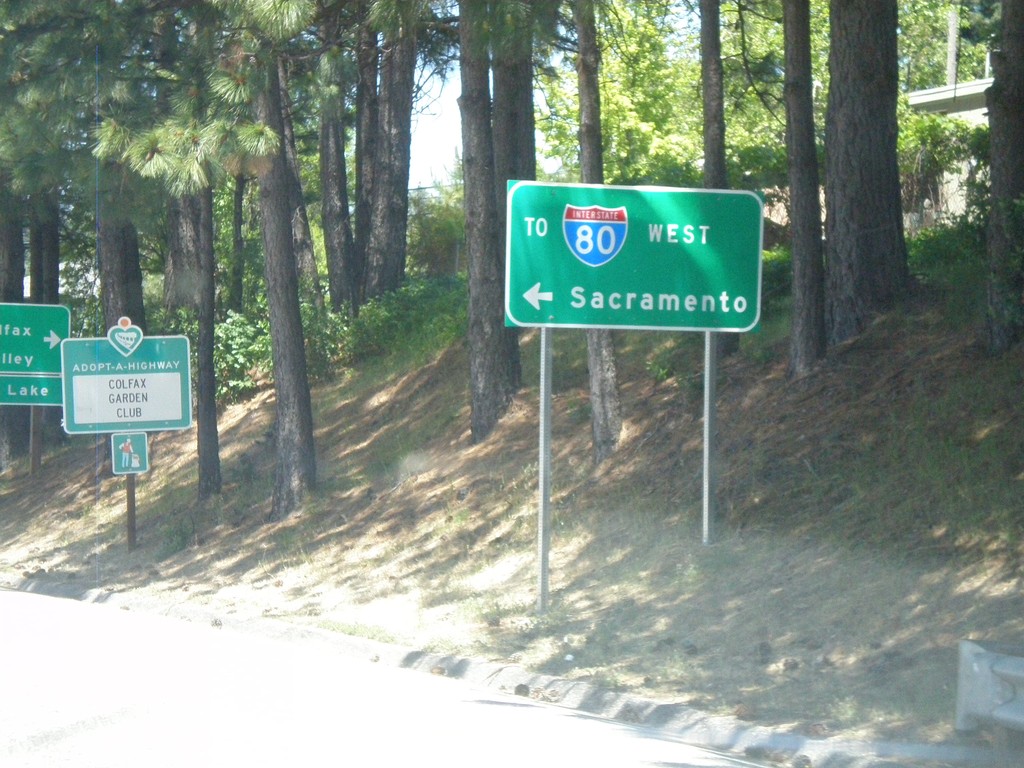
I-80 Overpass (Exit 135) at CA-174 Jct.
Overpass at I-80 Exit 135 at CA-174 jct. Turn right for CA-174; turn left for I-80 West to Sacramento.
Taken 06-13-2011

 Colfax
Placer County
California
United States
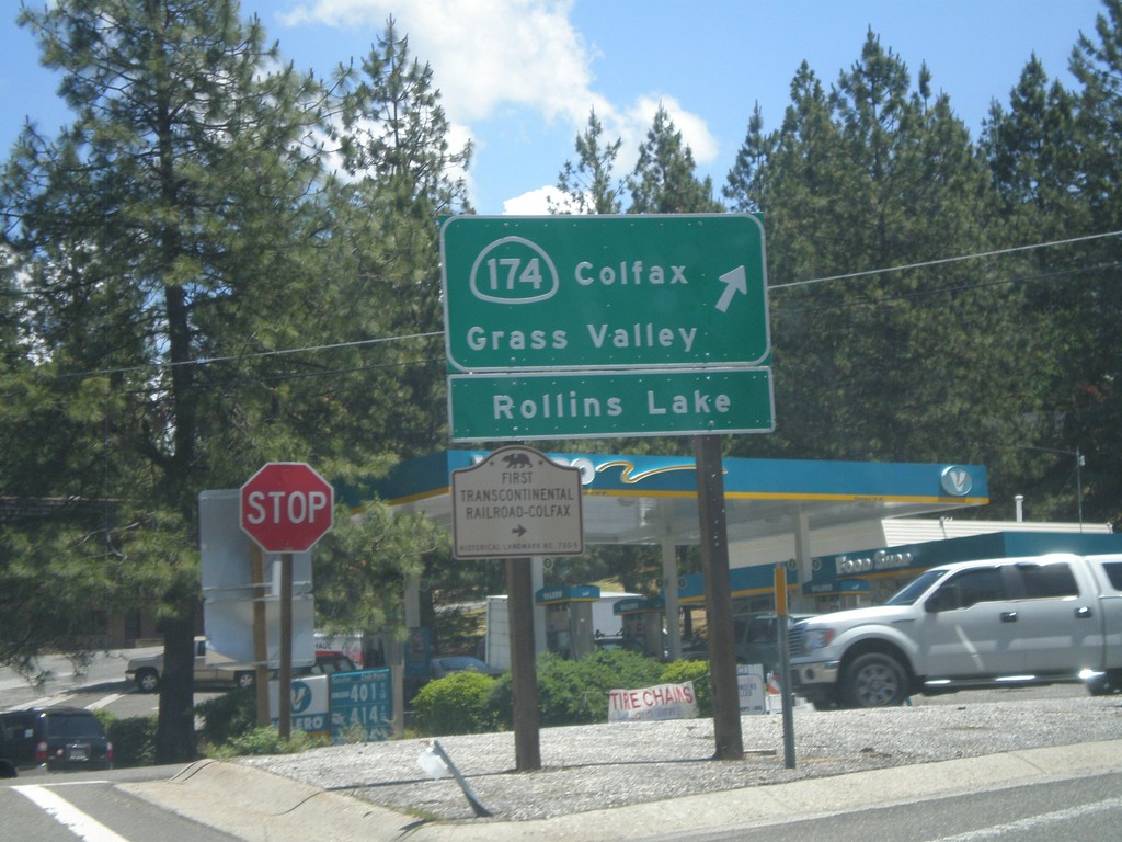
I-80 East at CA-174 (Exit 135)
I-80 east offramp at CA-174. Turn right for CA-174 West to Colfax, Grass Valley, and Rollins Lake. Also turn right for the First Transcontinental Railroad Historical Marker - Colfax.
Taken 06-13-2011

 Colfax
Placer County
California
United States
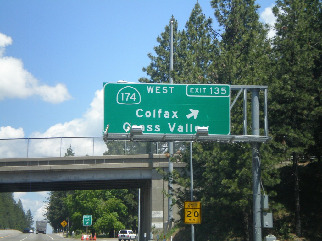
I-80 East - Exit 135
I-80 east at Exit 135 - CA-174 West/Colfax/Grass Valley.
Taken 06-13-2011

 Colfax
Placer County
California
United States