Signs Tagged With Interchange
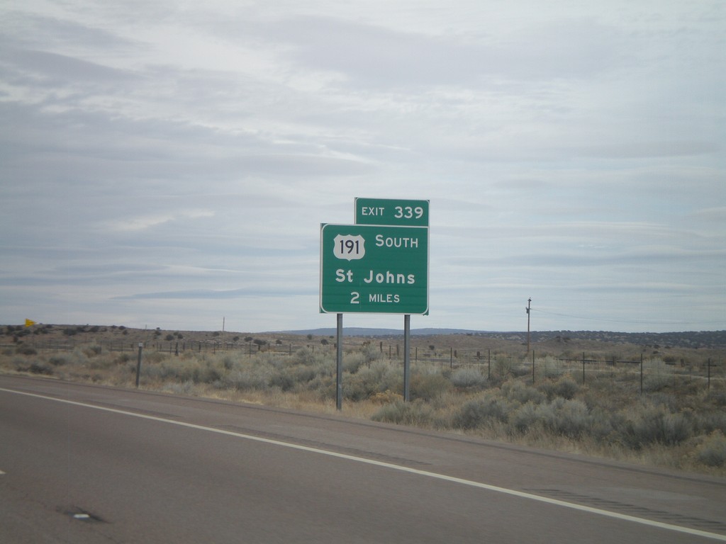
I-40 East Approaching Exit 339
I-40 east approaching Exit 339 - US-191 South/St. Johns. US-191 south leaves I-40 eastbound at Exit 339.
Taken 02-24-2011

 Sanders
Apache County
Arizona
United States
Sanders
Apache County
Arizona
United States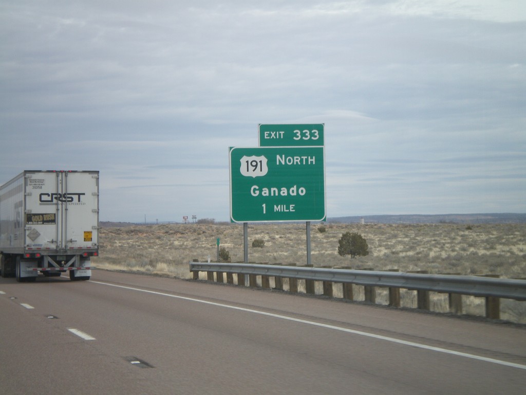
I-40 East Approaching Exit 333
I-40 east approaching Exit 333 - US-191 North/Ganado. US-191 south joins I-40 eastbound for six miles.
Taken 02-24-2011
Chambers
Apache County
Arizona
United States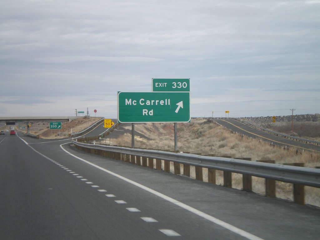
I-40 East - Exit 320
I-40 east at Exit 320 - McCarrell Road.
Taken 02-24-2011
Chambers
Apache County
Arizona
United States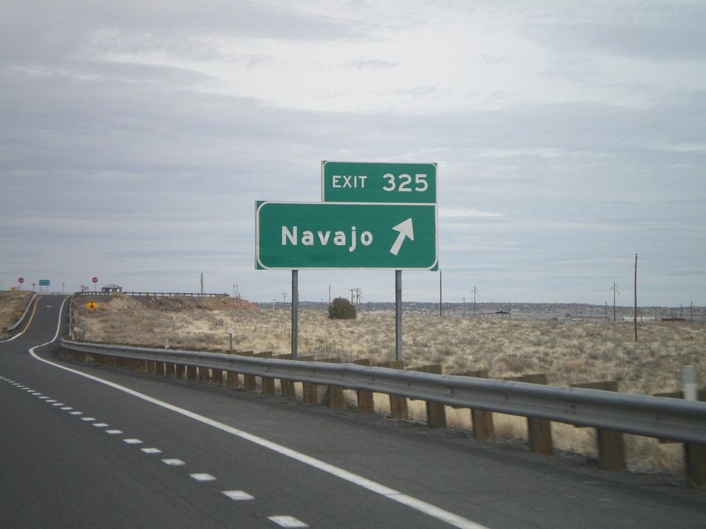
I-40 East - Exit 325
I-40 east at Exit 325 - Navajo.
Taken 02-24-2011
Chambers
Apache County
Arizona
United States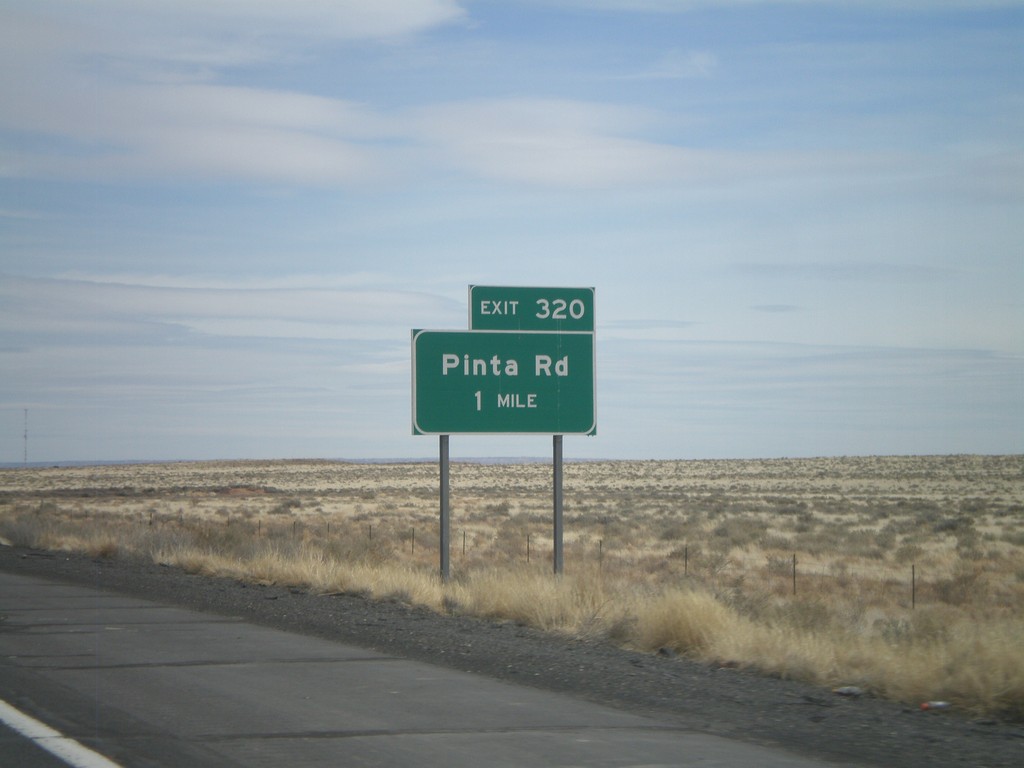
I-40 East - Exit 320
I-40 east at Exit 320 - Pinta Road.
Taken 02-24-2011
Petrified Forest National Park
Apache County
Arizona
United States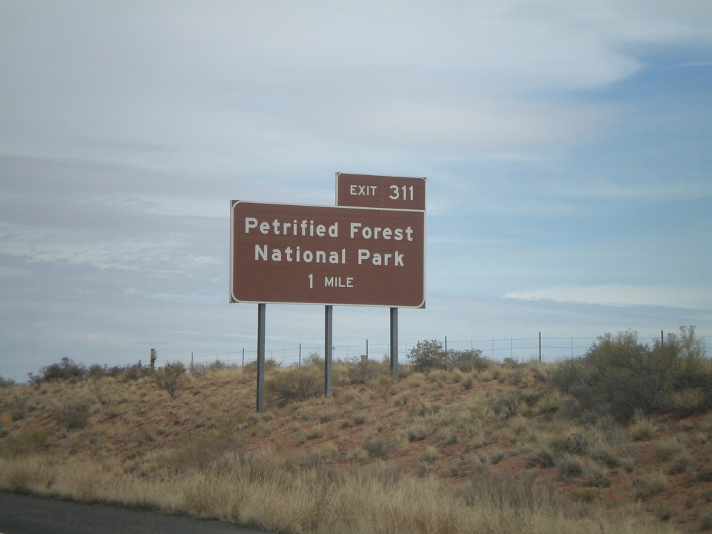
I-40 East Approaching Exit 311
I-40 east approaching Exit 311 - Petrified Forest National Park.
Taken 02-24-2011
Petrified Forest National Park
Apache County
Arizona
United States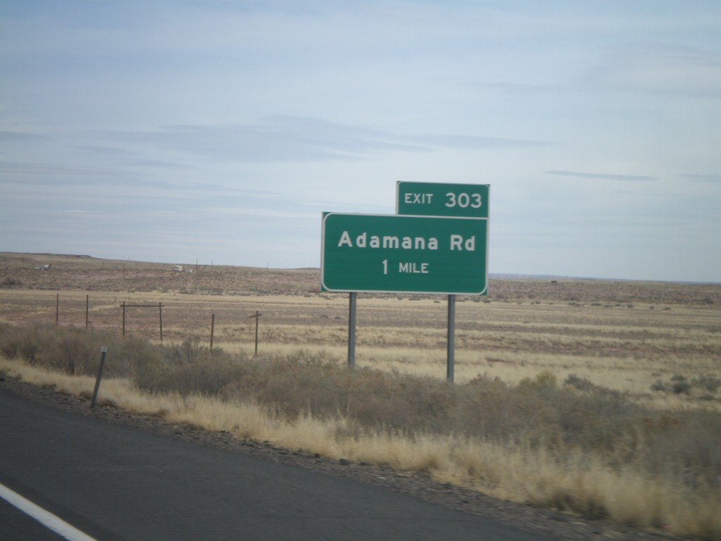
I-40 East - Exit 303
I-40 east at Exit 303 - Adamana Road.
Taken 02-24-2011
Sun Valley
Navajo County
Arizona
United States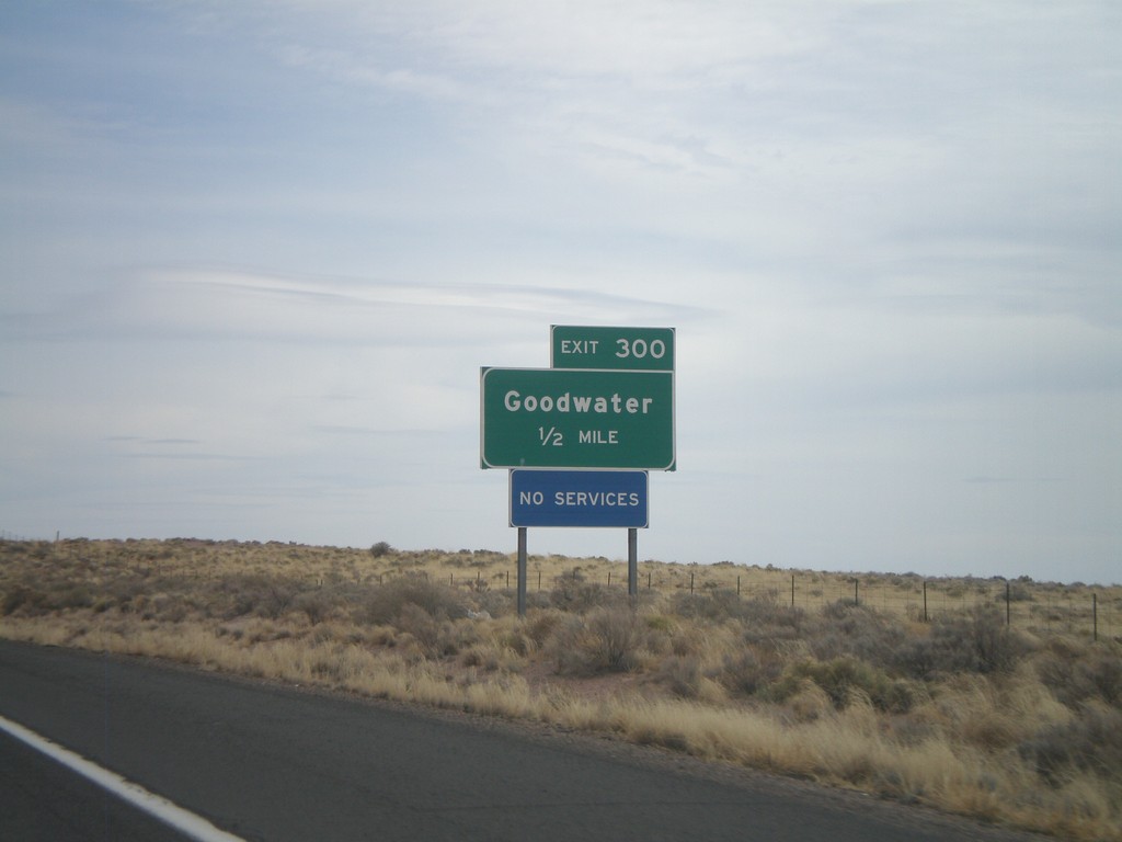
I-40 East Approaching Exit 300
I-40 east approaching Exit 300 - Goodwater.
Taken 02-24-2011
Sun Valley
Navajo County
Arizona
United States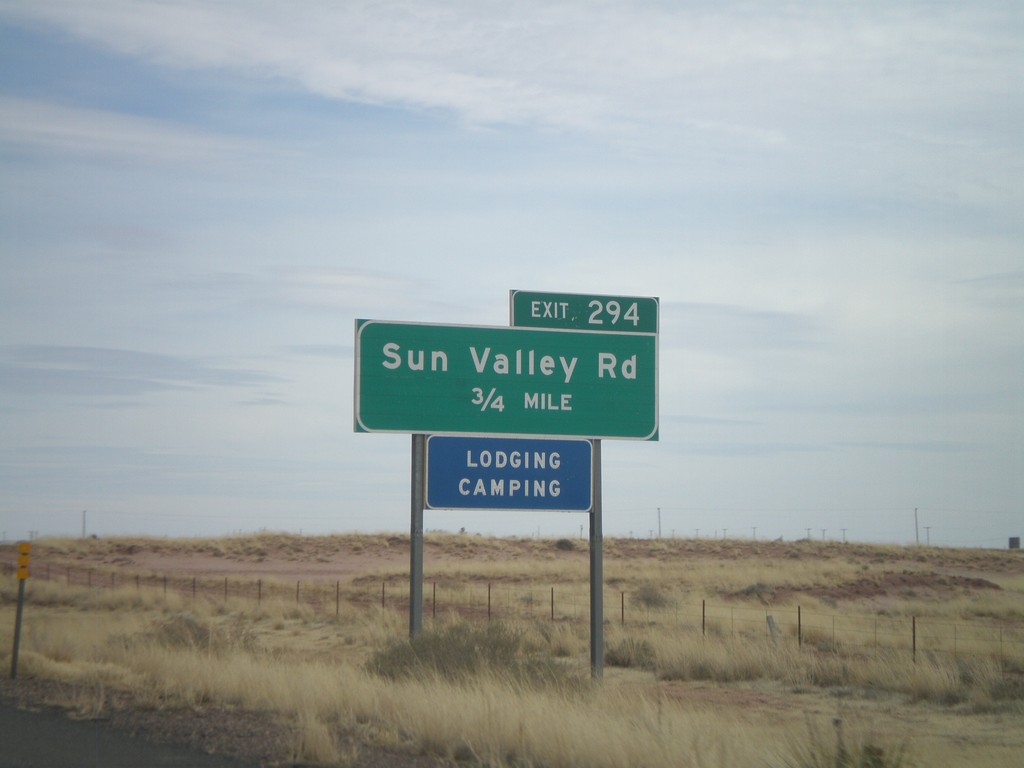
I-40 East Approaching Exit 294
I-40 east approaching Exit 294 - Sun Valley Road.
Taken 02-24-2011
Sun Valley
Navajo County
Arizona
United States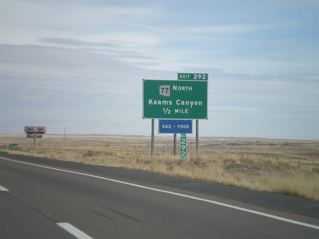
I-40 East - Exit 292
I-40 east at Exit 292 - AZ-77 North/Keams Canyon. AZ-77 north leaves I-40 here, and heads north onto the Hopi Indian Reservation.
Taken 02-24-2011
 Holbrook
Navajo County
Arizona
United States
Holbrook
Navajo County
Arizona
United States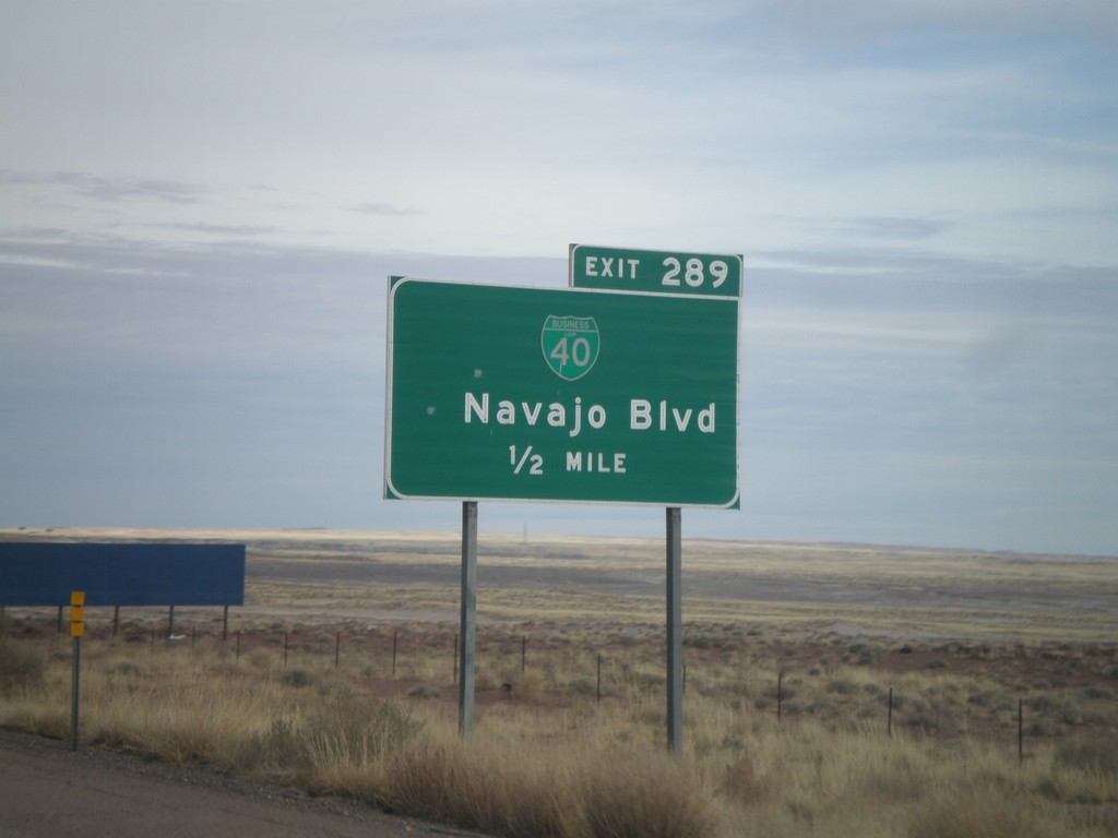
I-40 East - Exit 289
I-40 east approaching Exit 289 - BL-40/Navajo Blvd.
Taken 02-24-2011
 Holbrook
Navajo County
Arizona
United States
Holbrook
Navajo County
Arizona
United States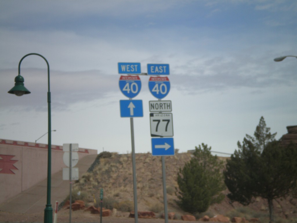
BL-40 East/AZ-77 North at I-40
BL-40 East/AZ-77 North at I-40 freeway entrance. Use I-40 west for Flagstaff; use I-40 east for Albuquerque. AZ-77 joins I-40 east through Holbrook.
Taken 02-24-2011
Holbrook
Navajo County
Arizona
United States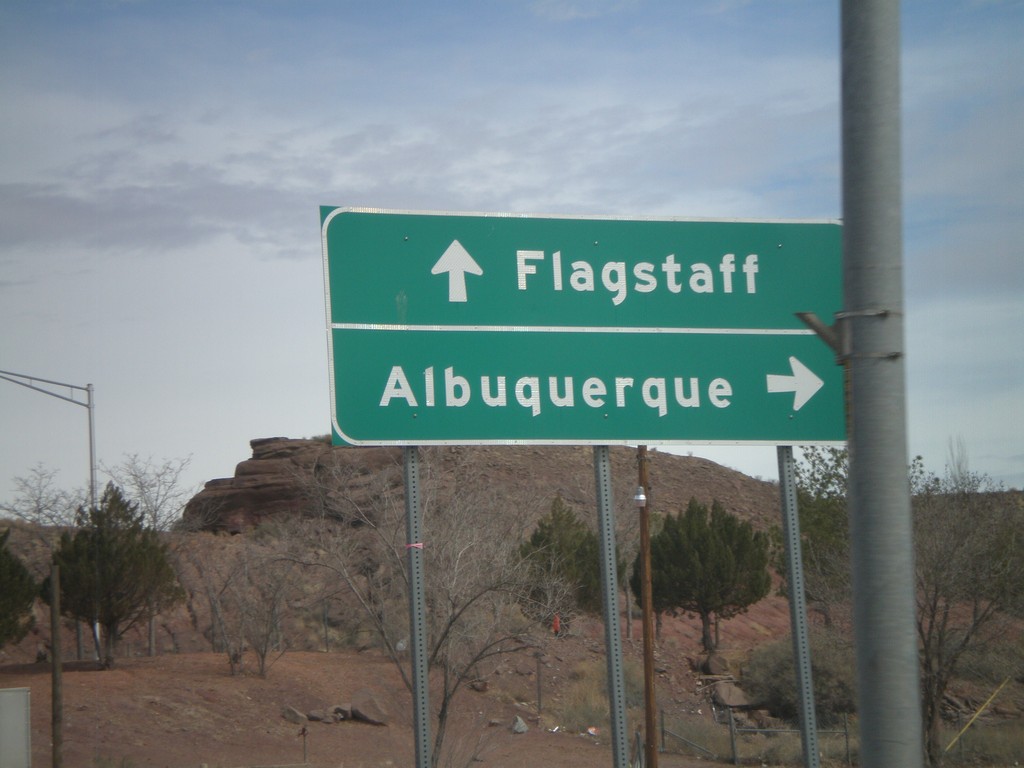
BL-40 East/AZ-77 North at I-40
BL-40 East/AZ-77 North at I-40 freeway entrance. Use I-40 west for Flagstaff; use I-40 east for Albuquerque. AZ-77 joins I-40 east through Holbrook.
Taken 02-24-2011
Holbrook
Navajo County
Arizona
United States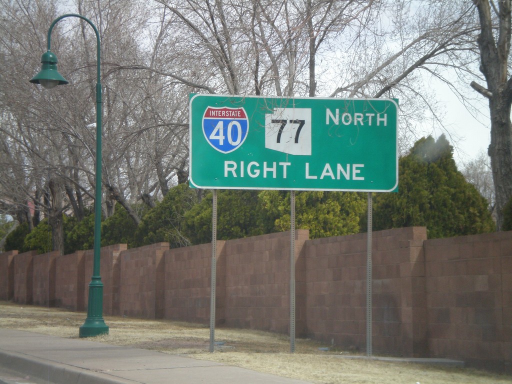
BL-40 East/AZ-77 North Approaching I-40
BL-40 East/AZ-77 North approaching I-40. AZ-77 joins I-40 east through Holbrook.
Taken 02-24-2011
Holbrook
Navajo County
Arizona
United States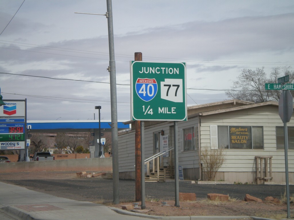
AZ-77 North/BL-40 East Approaching I-40
AZ-77 North/BL-40 East approaching I-40. AZ-77 north joins I-40 east to the east side of Holbrook.
Taken 02-24-2011
Holbrook
Navajo County
Arizona
United States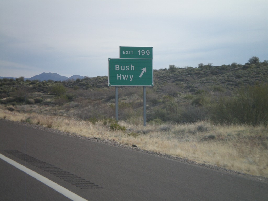
AZ-87 North - Exit 199
AZ-87 North at Exit 199 - Bush Highway. This is the only interchange along AZ-87 between Mesa and Payson, although the highway is divided for almost the entire stretch.
Taken 02-24-2011
 Fort McDowell
Maricopa County
Arizona
United States
Fort McDowell
Maricopa County
Arizona
United States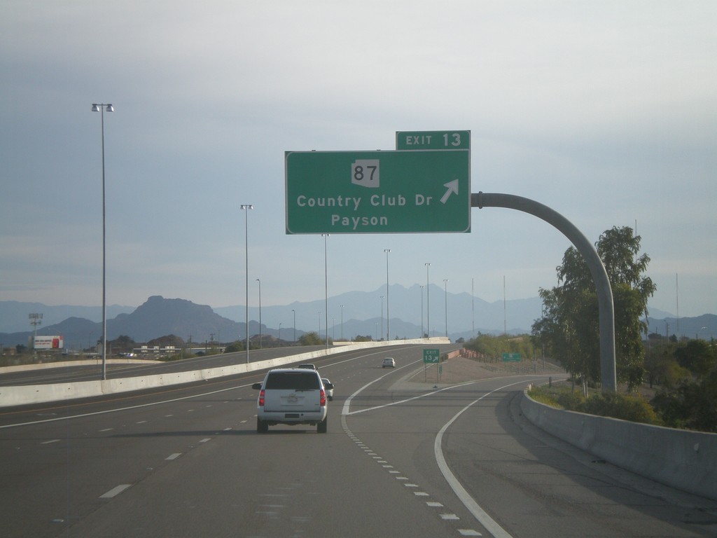
AZ-202 Loop East - Exit 13
AZ-202 Loop east at Exit 13 - AZ-87/Country Club Drive/Payson.
Taken 02-24-2011
 Mesa
Maricopa County
Arizona
United States
Mesa
Maricopa County
Arizona
United States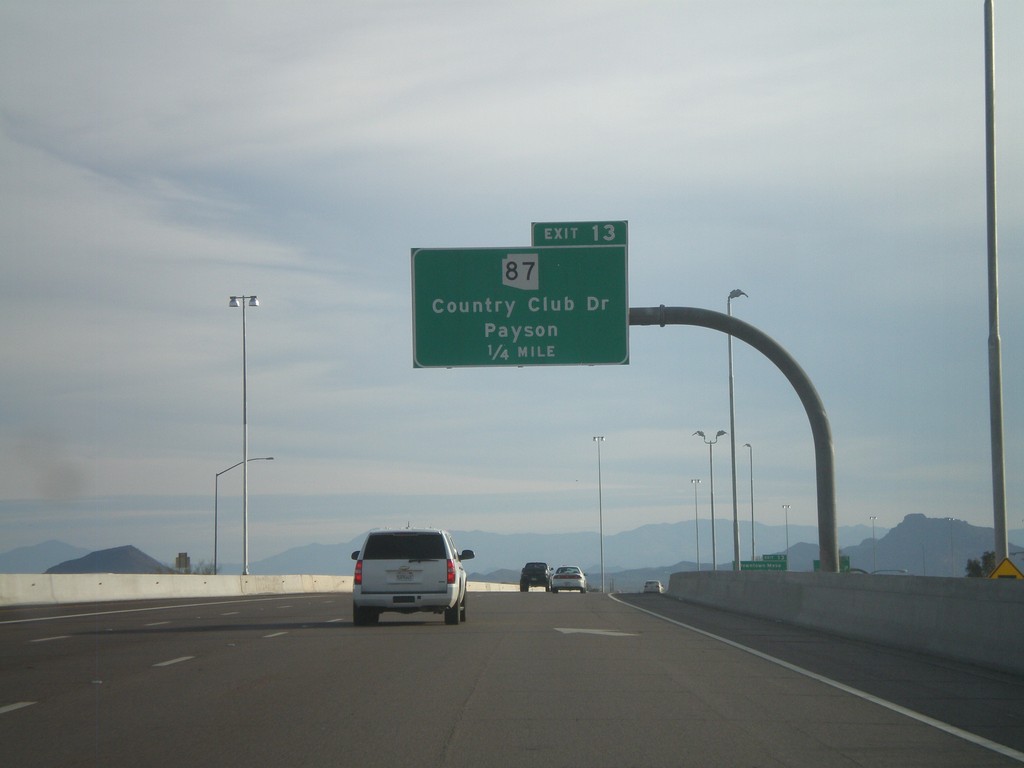
AZ-202 Loop East Approaching Exit 13
AZ-202 Loop East approaching Exit 13 - AZ-87/Country Club Drive/Payson.
Taken 02-24-2011
Mesa
Maricopa County
Arizona
United States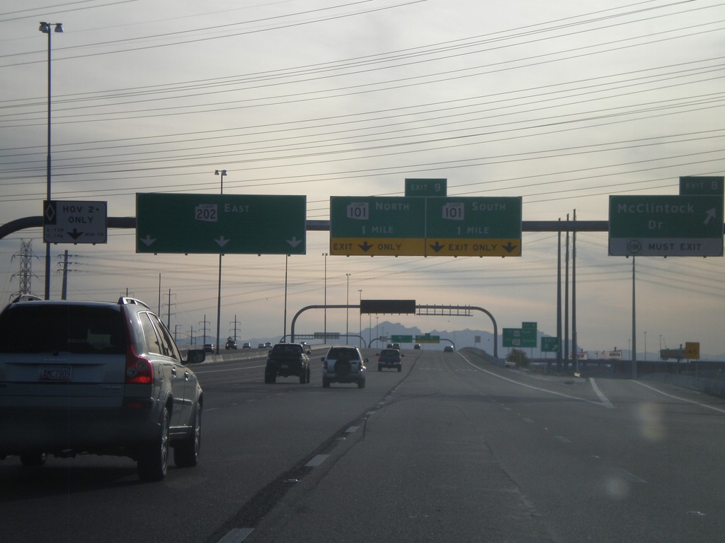
AZ-202 Loop East - Exits 8 and 9
AZ-202 Loop East at Exit 8 - McClintock Road. Approaching Exit 9 - AZ-101 Loop. The left lane is designated for HOV traffic.
Taken 02-24-2011
 Tempe
Maricopa County
Arizona
United States
Tempe
Maricopa County
Arizona
United States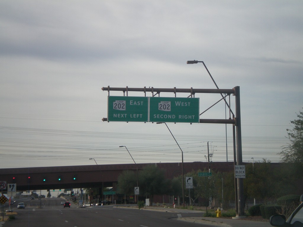
Scottsdale Road South at AZ-202 Loop
Scottsdale Road south at AZ-202 Loop.
Taken 02-24-2011
Tempe
Maricopa County
Arizona
United States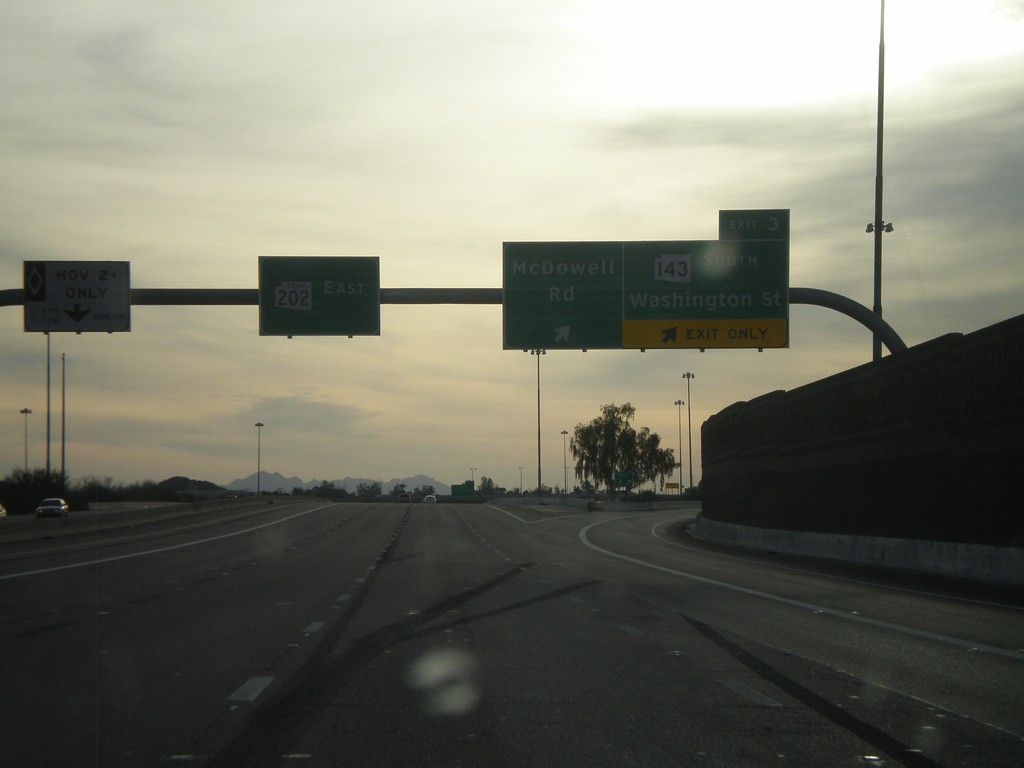
AZ-202 Loop East - Exit 3
AZ-202 Loop East at Exit 3 - AZ-143 South/Washington St./McDowell Road.
Taken 02-24-2011
 Phoenix
Maricopa County
Arizona
United States
Phoenix
Maricopa County
Arizona
United States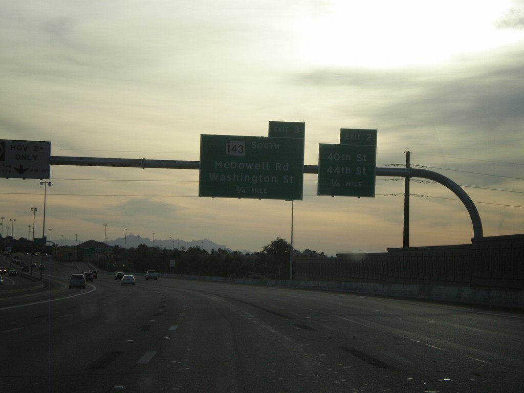
AZ-202 Loop East Approaching Exits 2 and 3
AZ-202 Loop East approaching Exit 2 - 40th St./44th St. Approaching Exit 3 - AZ-143 South/McDowell Road/Washington St.
Taken 02-24-2011
Phoenix
Maricopa County
Arizona
United States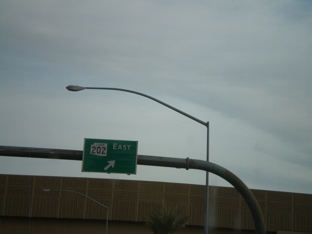
N. 24th St. at AZ-202 Loop East
N. 24th St. at AZ-202 Loop East onramp.
Taken 02-24-2011
Phoenix
Maricopa County
Arizona
United States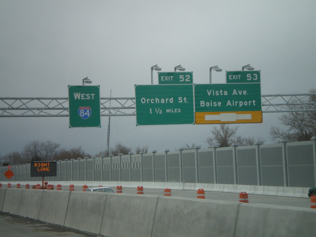
I-84 West - Exits 53 and 52
I-84 west at Exit 53 - Vista Ave./Boise Airport and approaching Exit 52 - Orchard St. The stretch of I-84 between Broadway and Orchard St. is being widened and the interchanges at Exit 52 and Exit 53 are being redesigned. The new westbound lanes and ramps are still under construction in this photograph.
Taken 02-07-2011

 Boise
Ada County
Idaho
United States
Boise
Ada County
Idaho
United States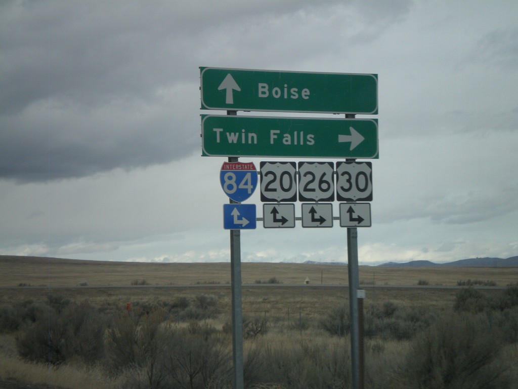
End BL-84 East at I-84 (Exit 90)
End BL-84 east at I-84, Exit 90 onramps. Use I-84/US-20/US-26/US-30 east for Twin Falls; use I-84/US-20/US-26/US-30 west for Boise. This is the western end of the Mountain Home business loop.
Taken 02-07-2011


 Mountain Home
Elmore County
Idaho
United States
Mountain Home
Elmore County
Idaho
United States