Signs Tagged With Interchange
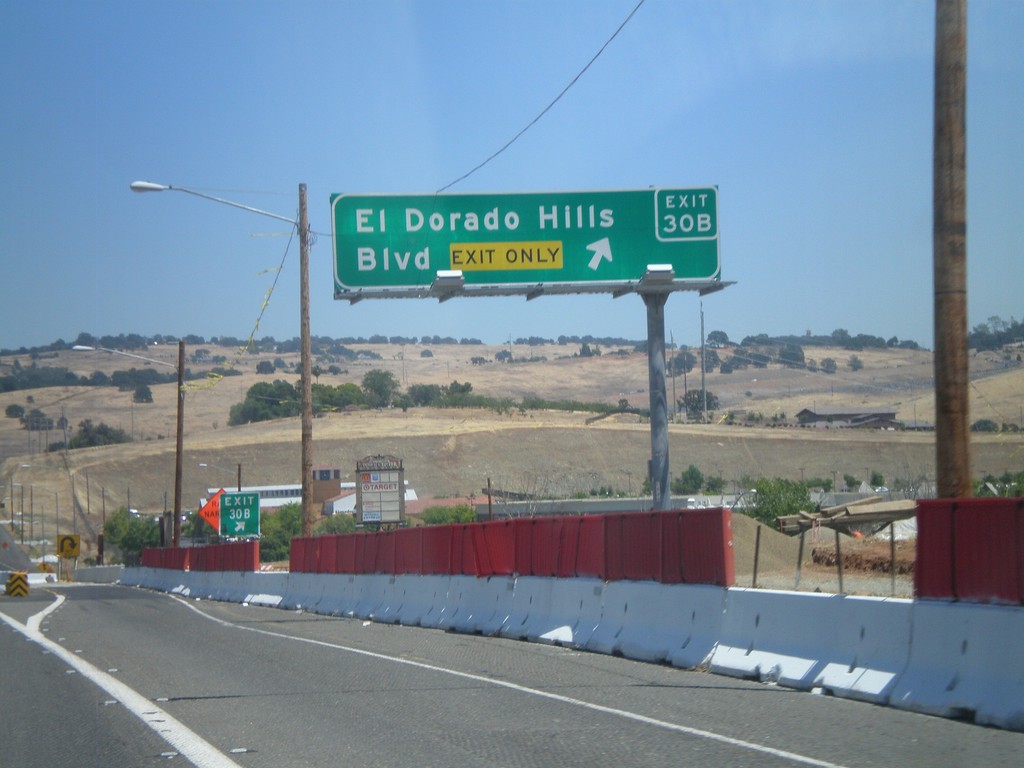
US-50 East - Exit 30B
US-50 east at Exit 30B - El Dorado Hills Blvd.
Taken 07-12-2010
 El Dorado Hills
El Dorado County
California
United States
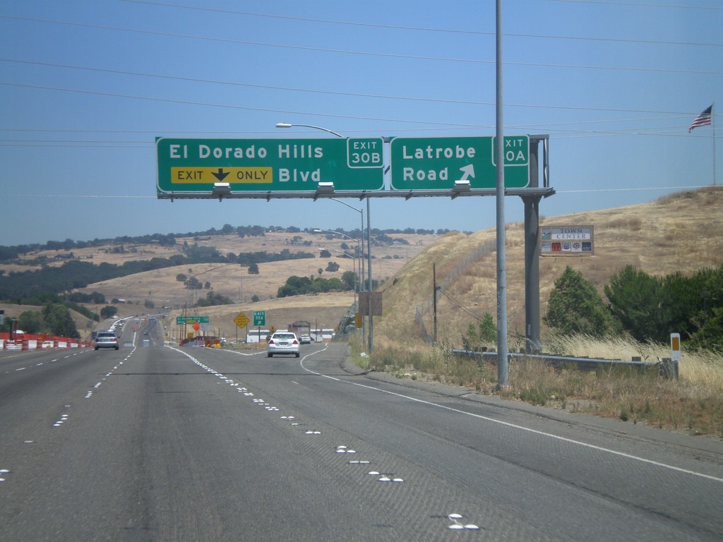
US-50 East - Exits 30A and 30B
US-50 east at Exit 30A - Latrobe Road. Approaching Exit 30B - El Dorado Hills Blvd.
Taken 07-12-2010
 El Dorado Hills
El Dorado County
California
United States
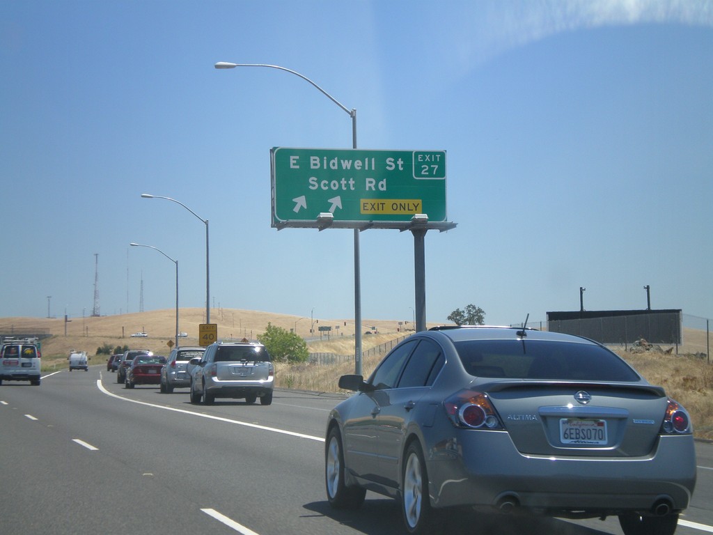
US-50 East - Exit 27
US-50 east at Exit 27 - E. Bidwell St./Scott Rd.
Taken 07-12-2010
 Folsom
Sacramento County
California
United States
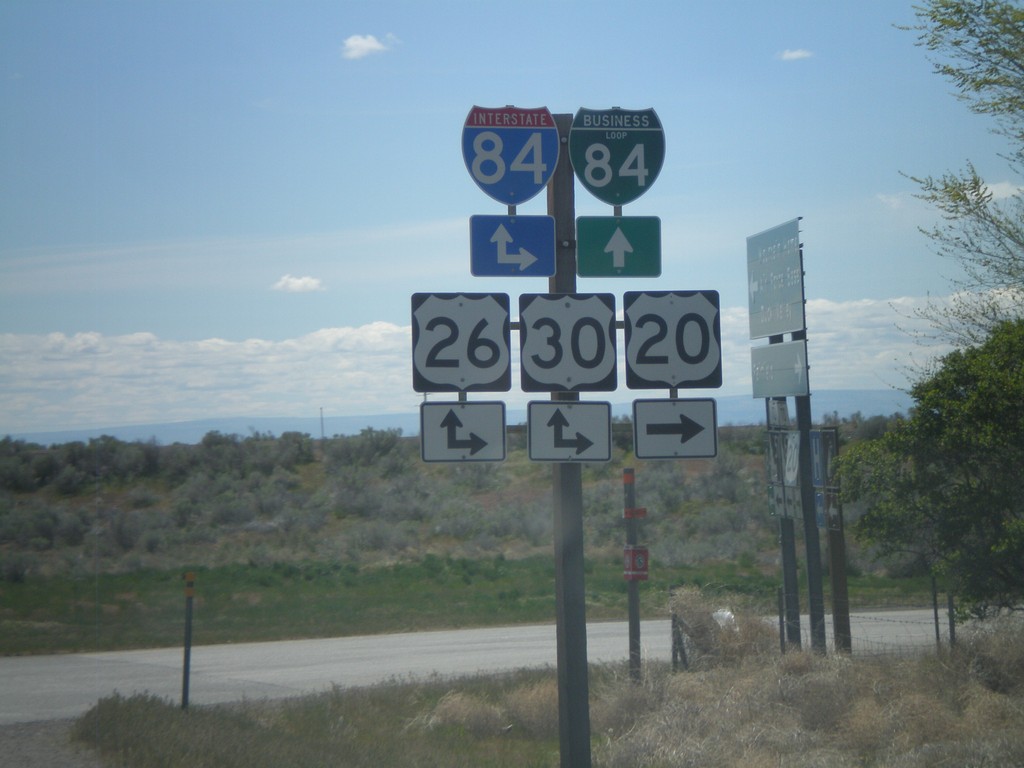
US-20 West at I-84
US-20 west at I-84/US-26/US-30. BL-84 begins here and heads into Mountain Home.
Taken 05-02-2010


 Mountain Home
Elmore County
Idaho
United States
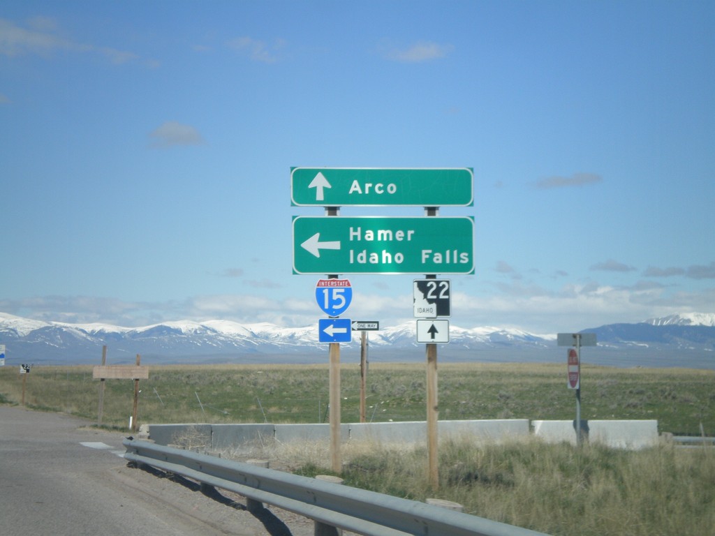
ID-22 West at I-15 South Onramp
ID-22 west at I-15 south Exit 167 onramp to Hamer and Idaho Falls. Continue west on ID-22 for Arco.
Taken 05-02-2010


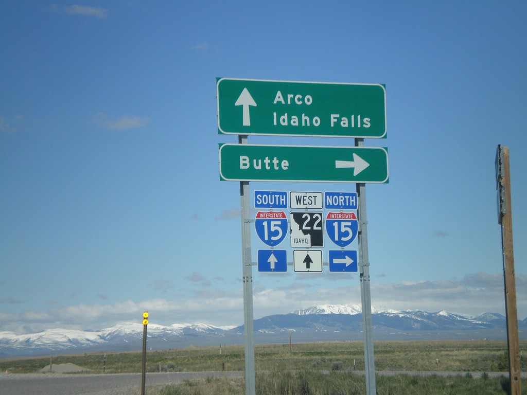
Begin ID-22 West at I-15
Begin ID-22 west at I-15 north to Butte. ID-22 continues west towards Arco. Use I-15 south for Idaho Falls.
Taken 05-02-2010


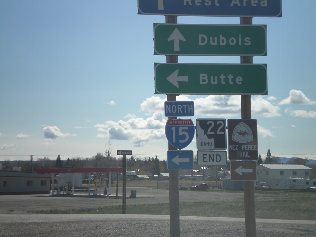
End ID-22 East at I-15
End ID-22 at I-15 north to Butte.
Taken 05-02-2010


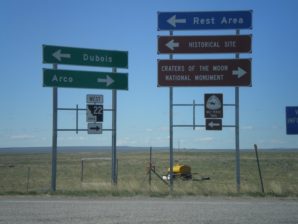
I-15 Exit 167 Offramp at ID-22
I-15 south at ID-22. Use ID-22 west for Arco, and Craters of the Moon National Monument.
Taken 05-02-2010


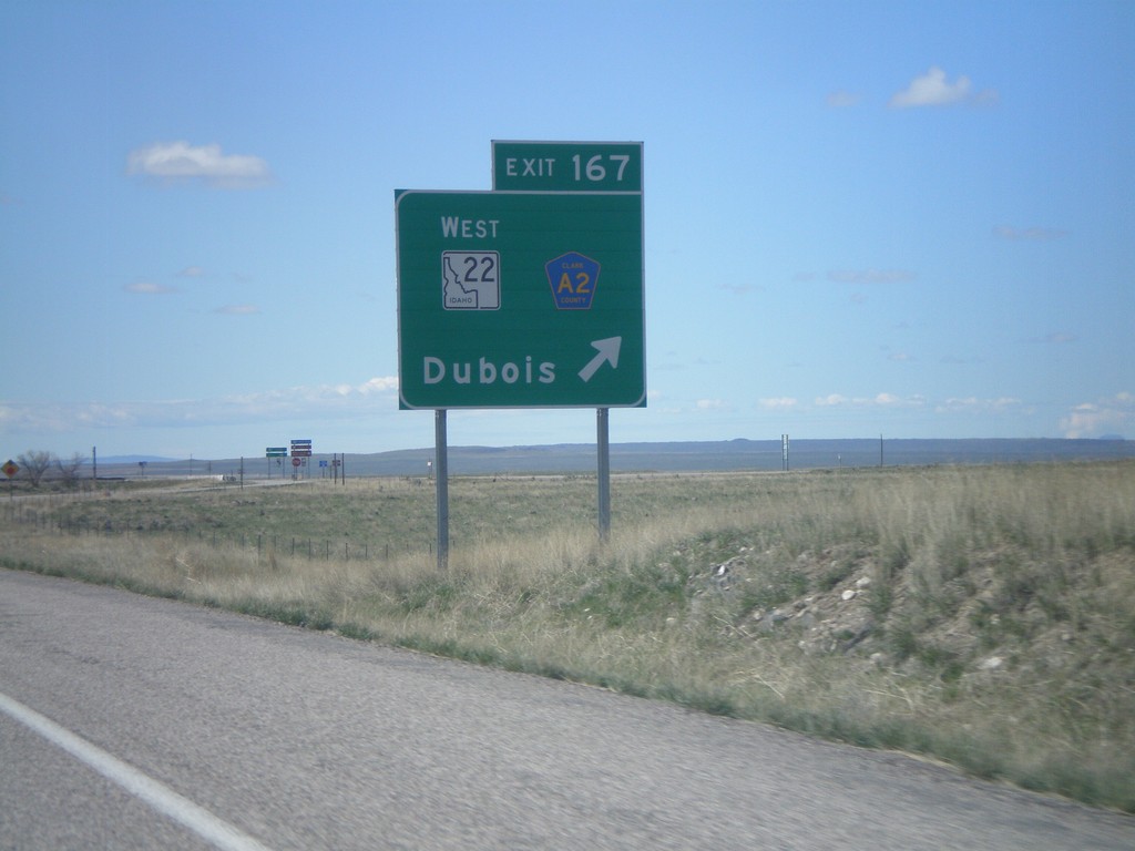
I-15 South - Exit 167
I-15 south at Exit 167 - ID-22 West/CR-A2/Dubois.
Taken 05-02-2010


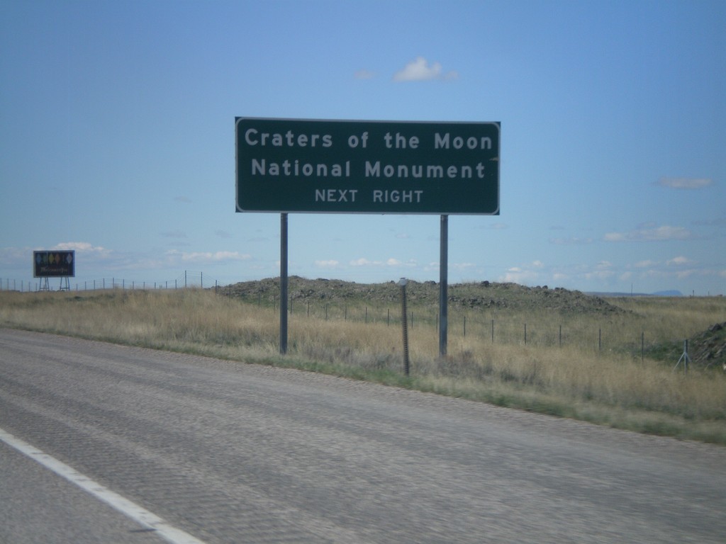
I-15 South Approaching Exit 167
I-15 south approaching Exit 167. Use Exit 167 for Craters of the Moon National Monument.
Taken 05-02-2010
 Dubois
Clark County
Idaho
United States
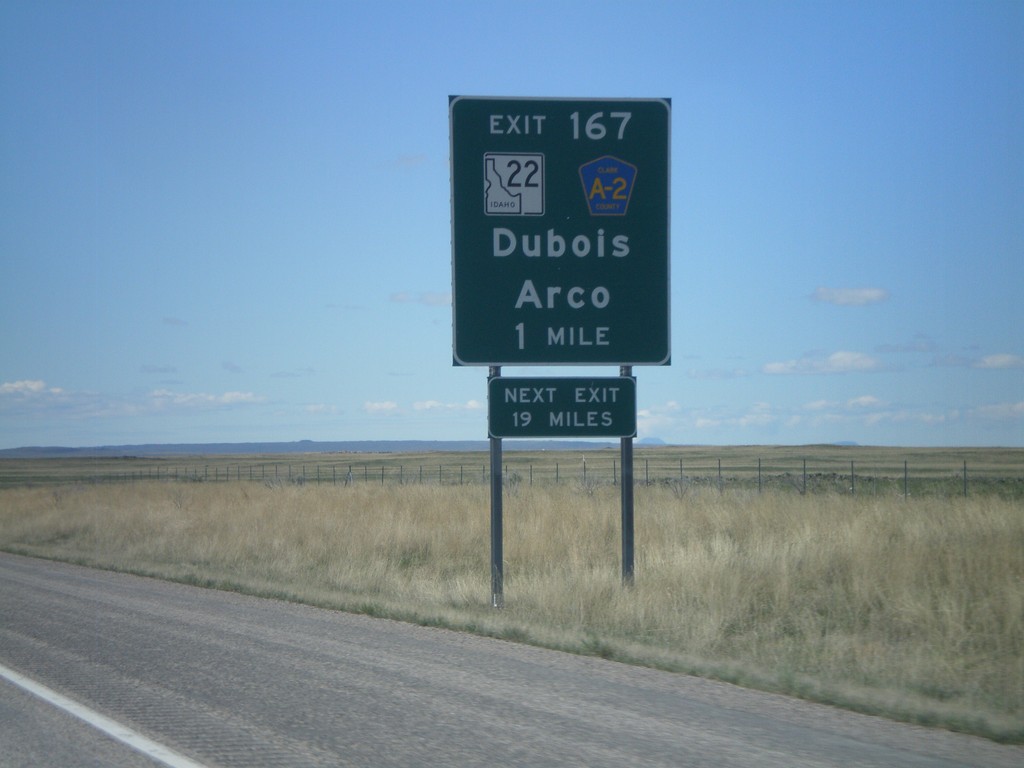
I-15 South - Exit 167
I-15 South approaching Exit 167 - ID-22/Clark County A2/Dubois/Arco. The actual sign at the exit omits Arco from the destination.
Taken 05-02-2010


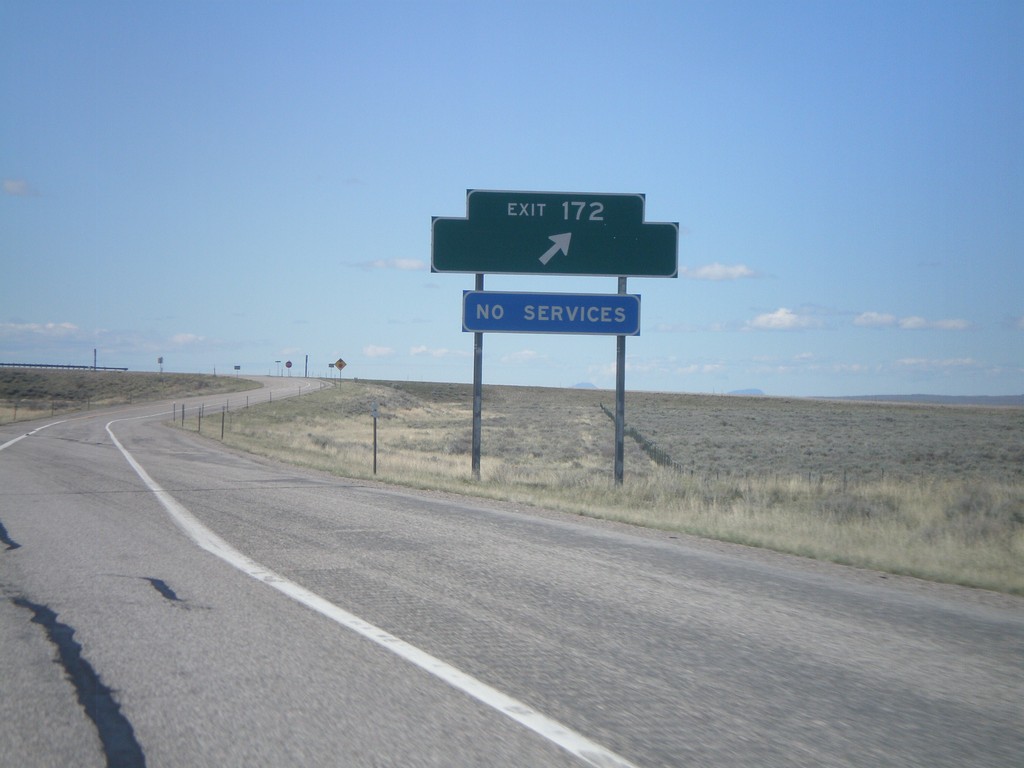
I-15 South - Exit 172
I-15 south at Exit 172. Exit 172 was formerly signed as US Sheep Experiment Station
Taken 05-02-2010
 Dubois
Clark County
Idaho
United States
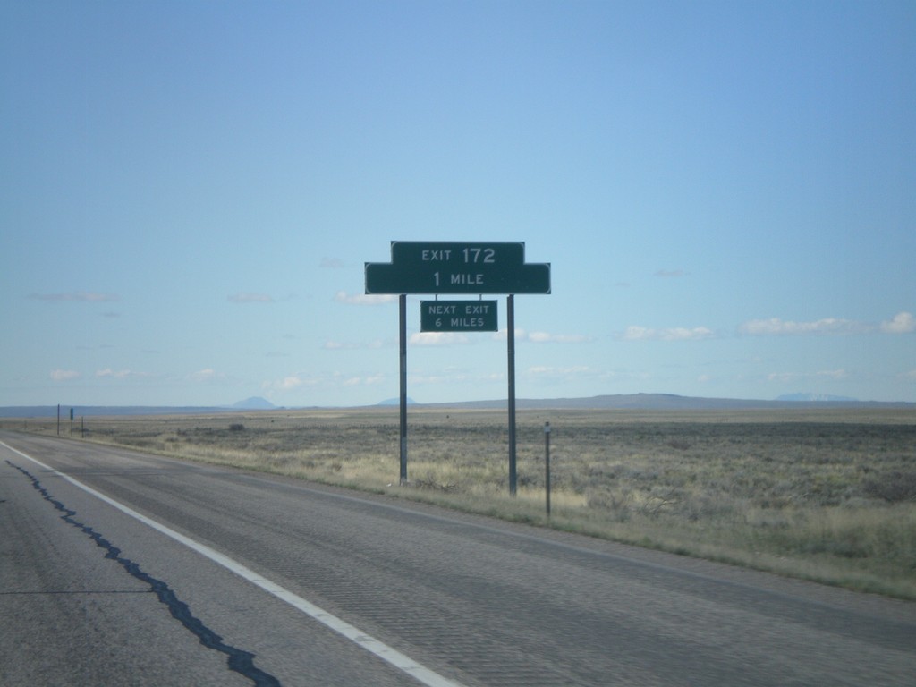
I-15 South - Exit 172
I-15 south approaching Exit 172. Exit 172 does not have a destination, but it formerly had a destination to the US Sheep Experiment Station.
Taken 05-02-2010
 Dubois
Clark County
Idaho
United States
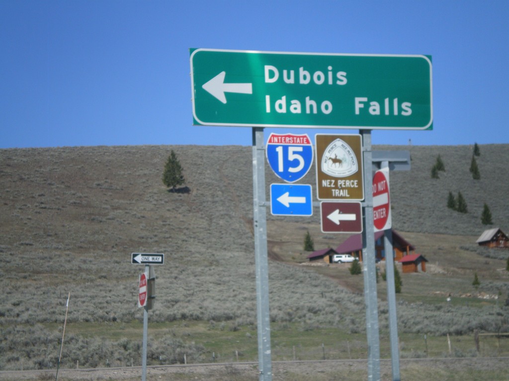
I-15 South Onramp at Exit 180
I-15 south onramp at Exit 180 to Dubois and Idaho Falls.
Taken 05-02-2010
 Spencer
Clark County
Idaho
United States
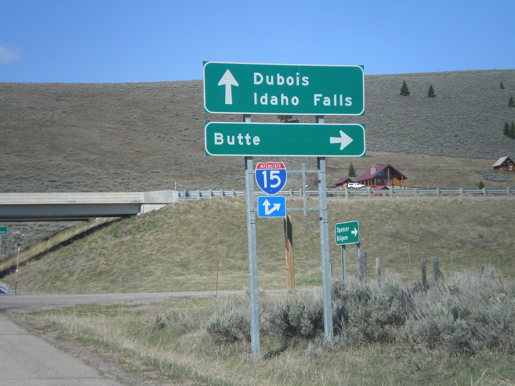
I-15 Exit 180 Onramp
I-15 north onramp at Exit 180 to Butte. Use I-15 south for Dubois and Idaho Falls.
Taken 05-02-2010
 Spencer
Clark County
Idaho
United States
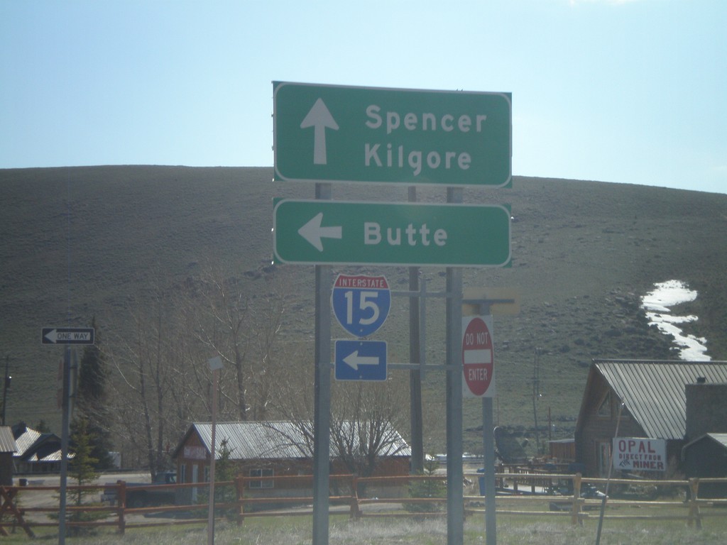
I-15 Exit 180 Onramp
I-15 north onramp at Exit 180 to Butte (Montana).
Taken 05-02-2010
 Spencer
Clark County
Idaho
United States
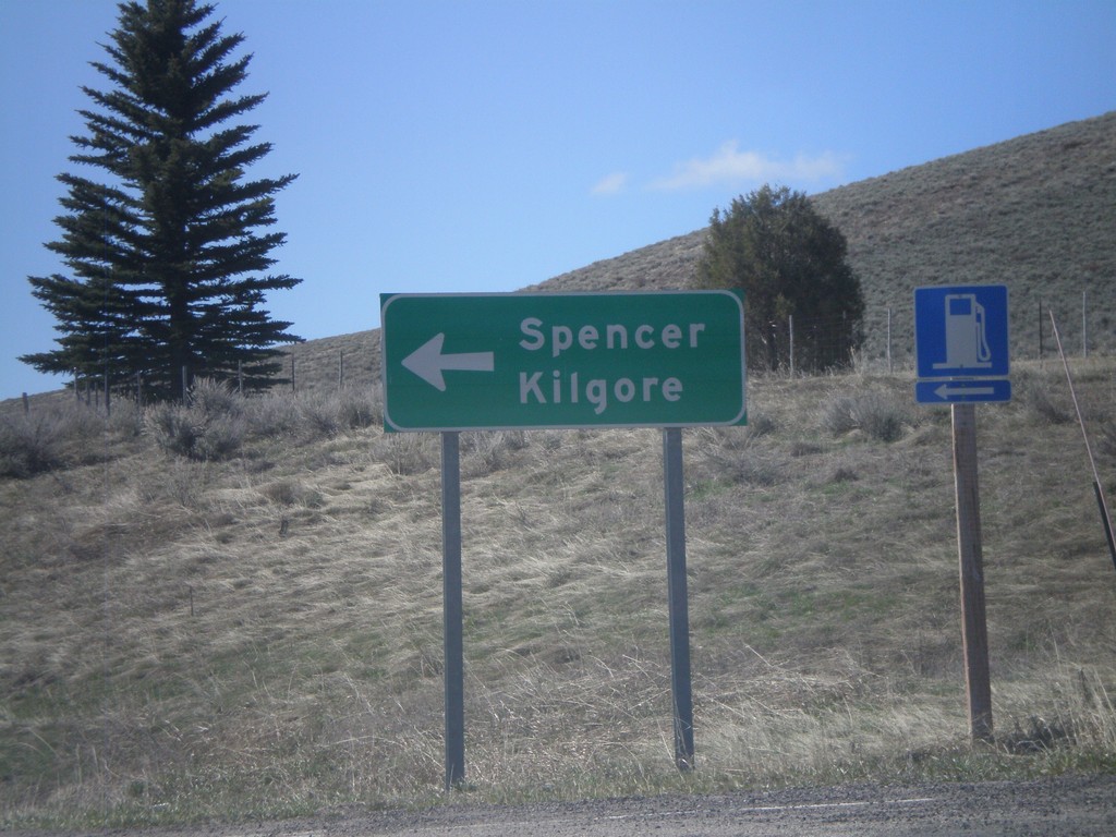
I-15 South - Exit 180 Offramp
I-15 South Exit 180 offramp. Turn left for Spencer and Kilgore.
Taken 05-02-2010
 Spencer
Clark County
Idaho
United States
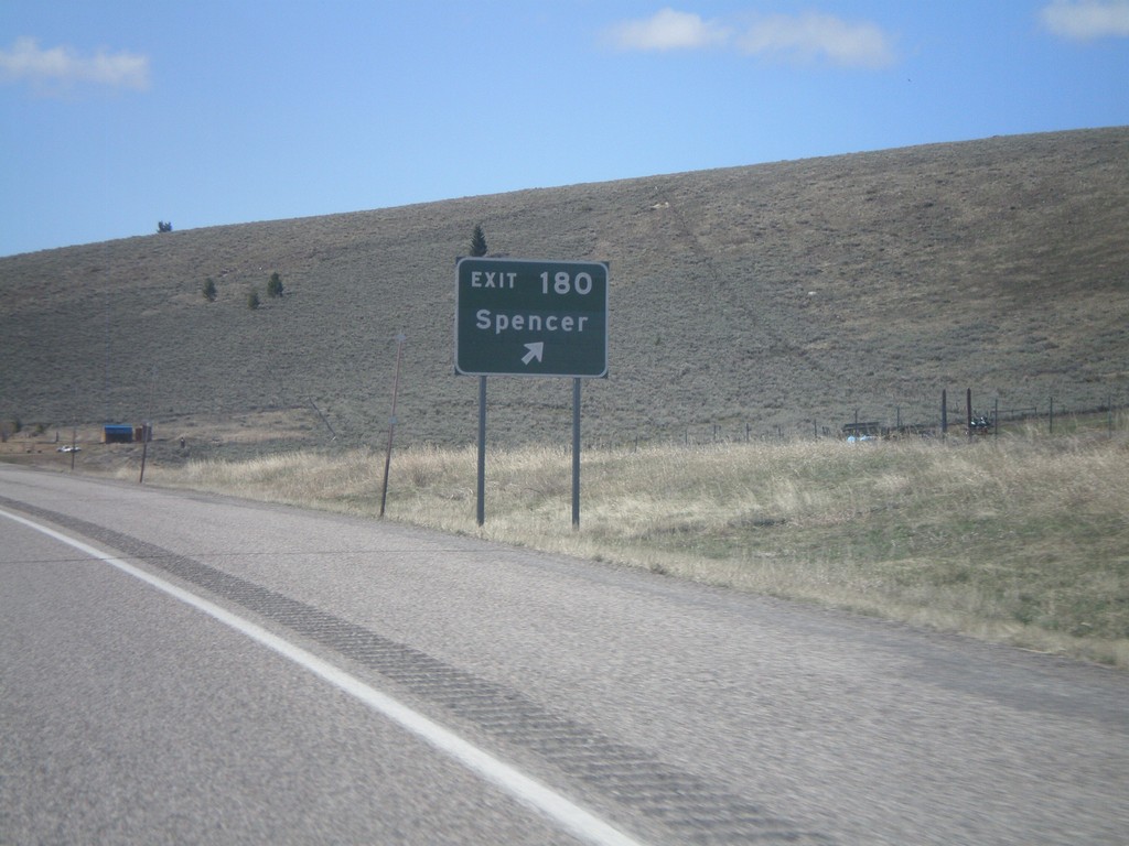
I-15 South - Exit 180
I-15 south at Exit 180 - Spencer
Taken 05-02-2010
 Spencer
Clark County
Idaho
United States
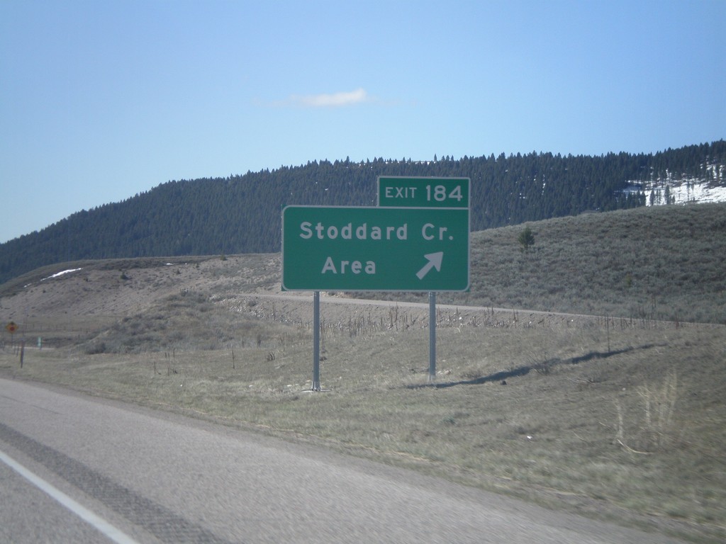
I-15 South - Exit 184
I-15 South Exit 184 - Stoddard Creek Area
Taken 05-02-2010
 Spencer
Clark County
Idaho
United States
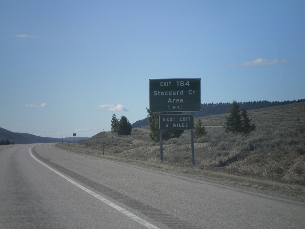
I-15 South - Exit 184
I-15 south approaching Exit 184 - Stoddard Creek Area
Taken 05-02-2010
 Spencer
Clark County
Idaho
United States
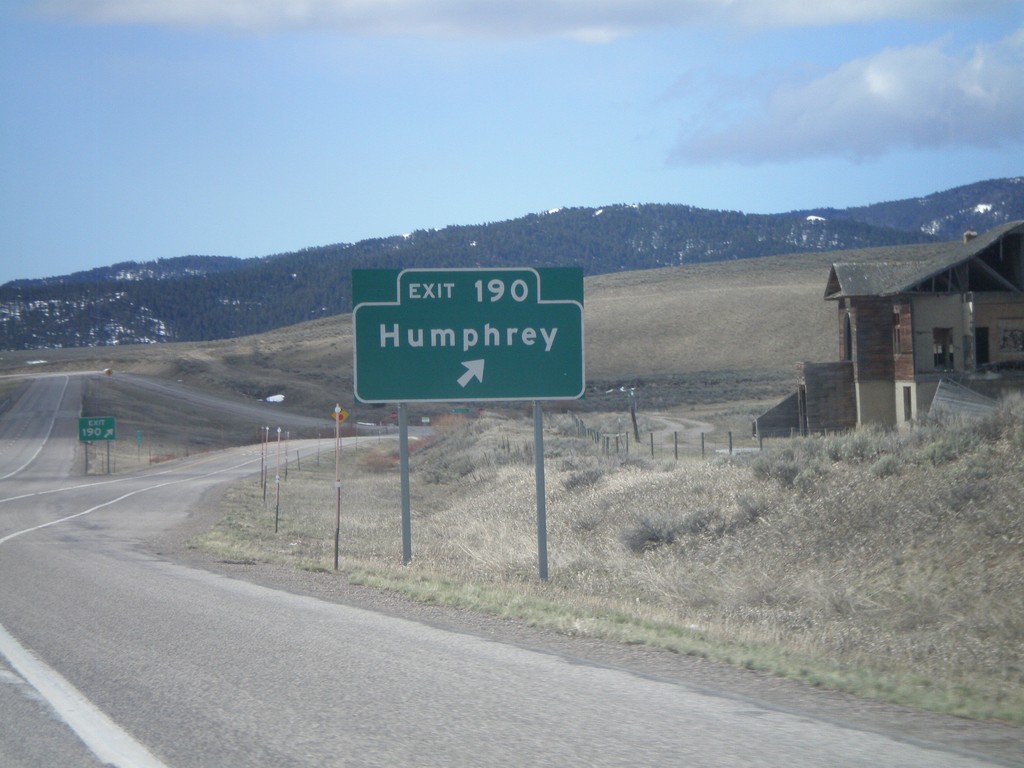
I-15 South - Exit 190
I-15 south at Exit 190 - Humphrey. This is the first exit inside Idaho on I-15 south.
Taken 05-02-2010
 Humphrey
Clark County
Idaho
United States
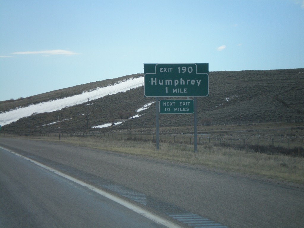
I-15 South - Exit 190
I-15 south approaching Exit 190 - Humphrey. This is the first exit on I-15 south in Idaho.
Taken 05-02-2010
 Humphrey
Clark County
Idaho
United States
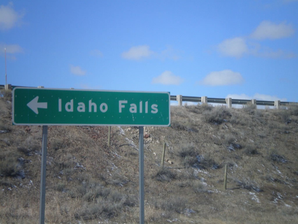
I-15 South Onramp at Exit 0
I-15 south onramp at Exit 0 to Idaho Falls.
Taken 05-02-2010
 Monida
Beaverhead County
Montana
United States
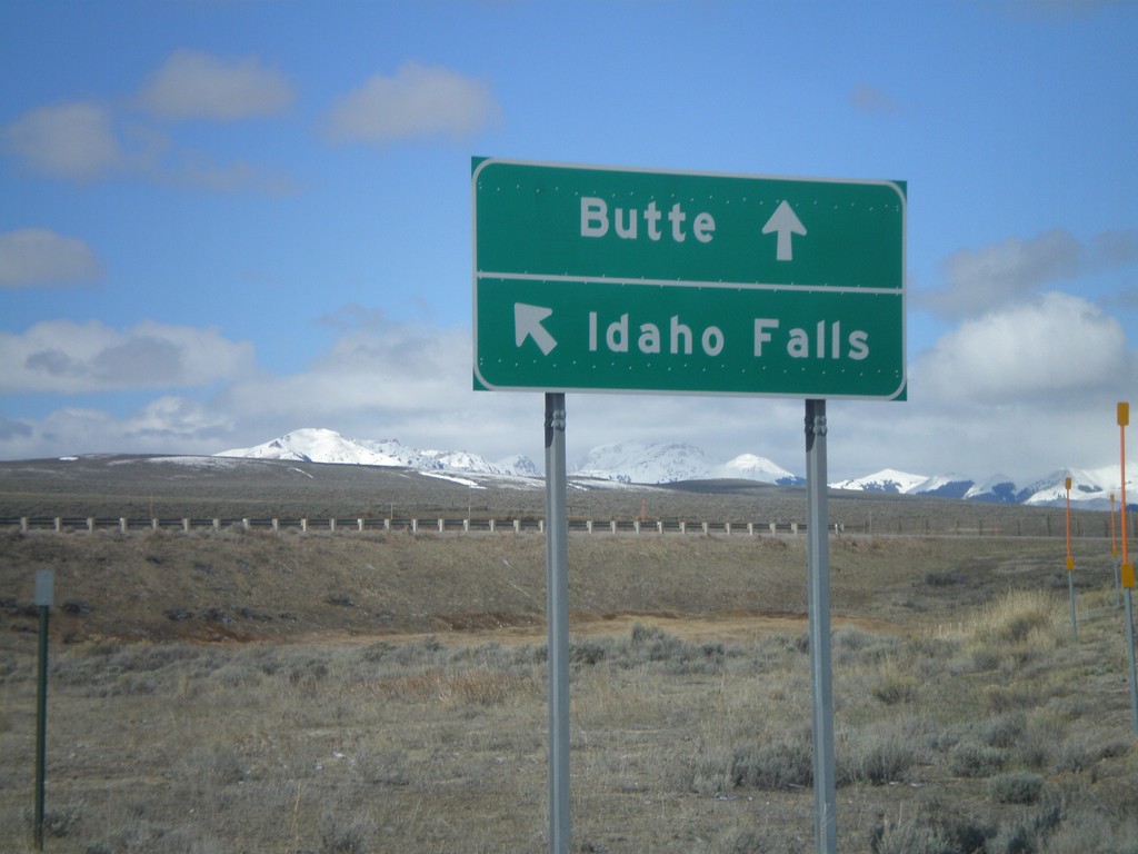
I-15 Exit 0 Onramp
I-15 Exit 0 onramp to Butte, and Idaho Falls.
Taken 05-02-2010
 Lima
Beaverhead County
Montana
United States
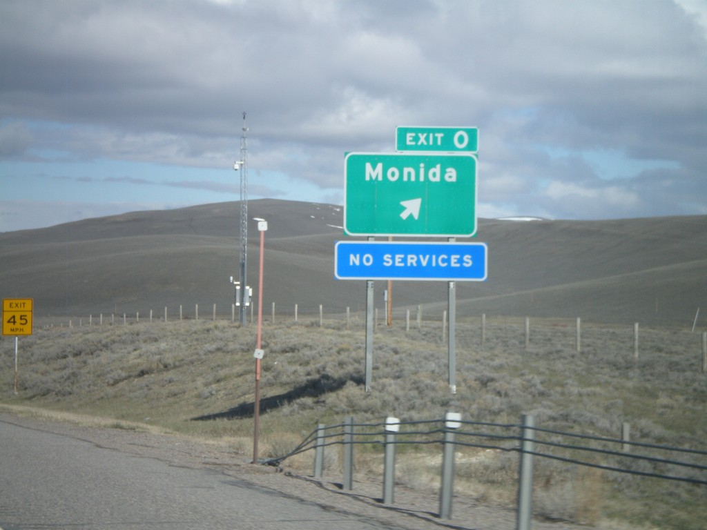
I-15 North - Exit 0
I-15 North at Exit 0 - Monida. Monida is the first exit on I-15 north in Montana.
Taken 05-02-2010
 Lima
Beaverhead County
Montana
United States