Signs Tagged With Interchange
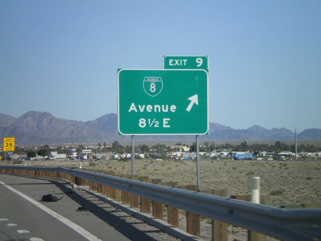
I-8 East - Exit 9
I-8 east at Exit 9 - BL-8/Avenue 8 1/2 East.
Taken 03-20-2010

 Yuma
Yuma County
Arizona
United States
Yuma
Yuma County
Arizona
United States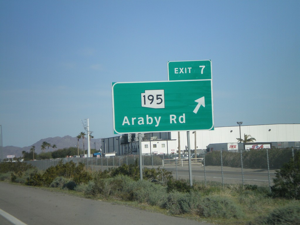
I-8 East - Exit 7
I-8 east at Exit 7 - AZ-195/Araby Road. AZ-195 is being constructed as an alternate route between Yuma and the San Luis Port of Entry at the Mexico border. Currently only a few miles of this route is complete.
Taken 03-20-2010

 Yuma
Yuma County
Arizona
United States
Yuma
Yuma County
Arizona
United States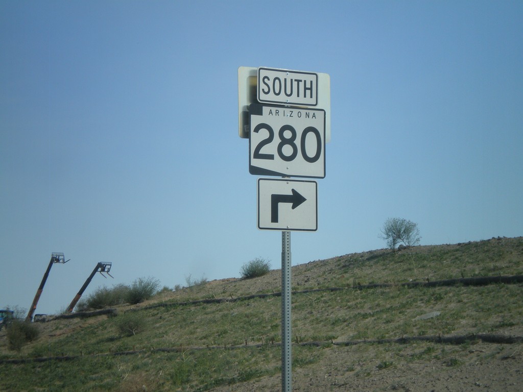
I-8 East Exit 3 Offramp at AZ-280
I-8 east Exit 3 offramp at AZ-280 south.
Taken 03-20-2010

 Yuma
Yuma County
Arizona
United States
Yuma
Yuma County
Arizona
United States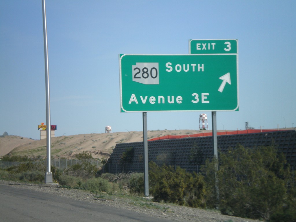
I-8 East - Exit 3
I-8 east at Exit 3 -AZ-280 South/Ave 3E
Taken 03-20-2010

 Yuma
Yuma County
Arizona
United States
Yuma
Yuma County
Arizona
United States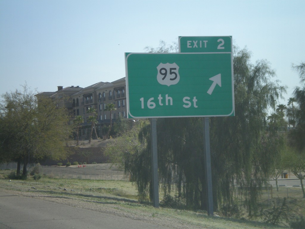
I-8 East - Exit 2
I-8 east at Exit 2 - US-95/16th St.
Taken 03-20-2010

 Yuma
Yuma County
Arizona
United States
Yuma
Yuma County
Arizona
United States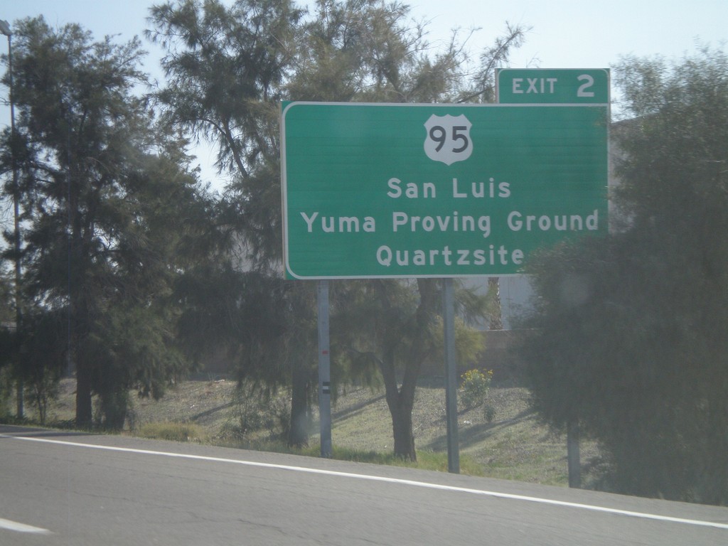
I-8 East Approaching Exit 2
I-8 east approaching Exit 2 - US-95 jct. Use US-95 for San Luis, Yuma Proving Ground, and Quartzite.
Taken 03-20-2010

 Yuma
Yuma County
Arizona
United States
Yuma
Yuma County
Arizona
United States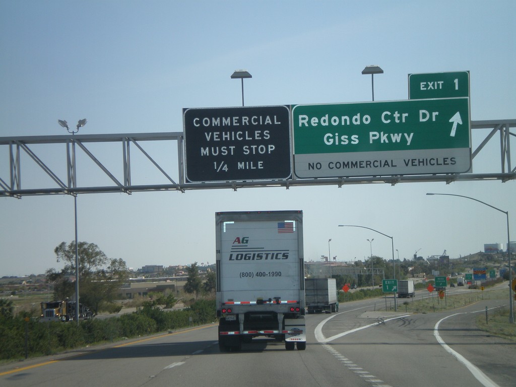
I-8 East - Exit 1
I-8 east at Exit 1 - Redondo Center Drive/Giss Parkway. This is the first Arizona exit along I-8. Approaching the Arizona Port of Entry.
Taken 03-20-2010
 Yuma
Yuma County
Arizona
United States
Yuma
Yuma County
Arizona
United States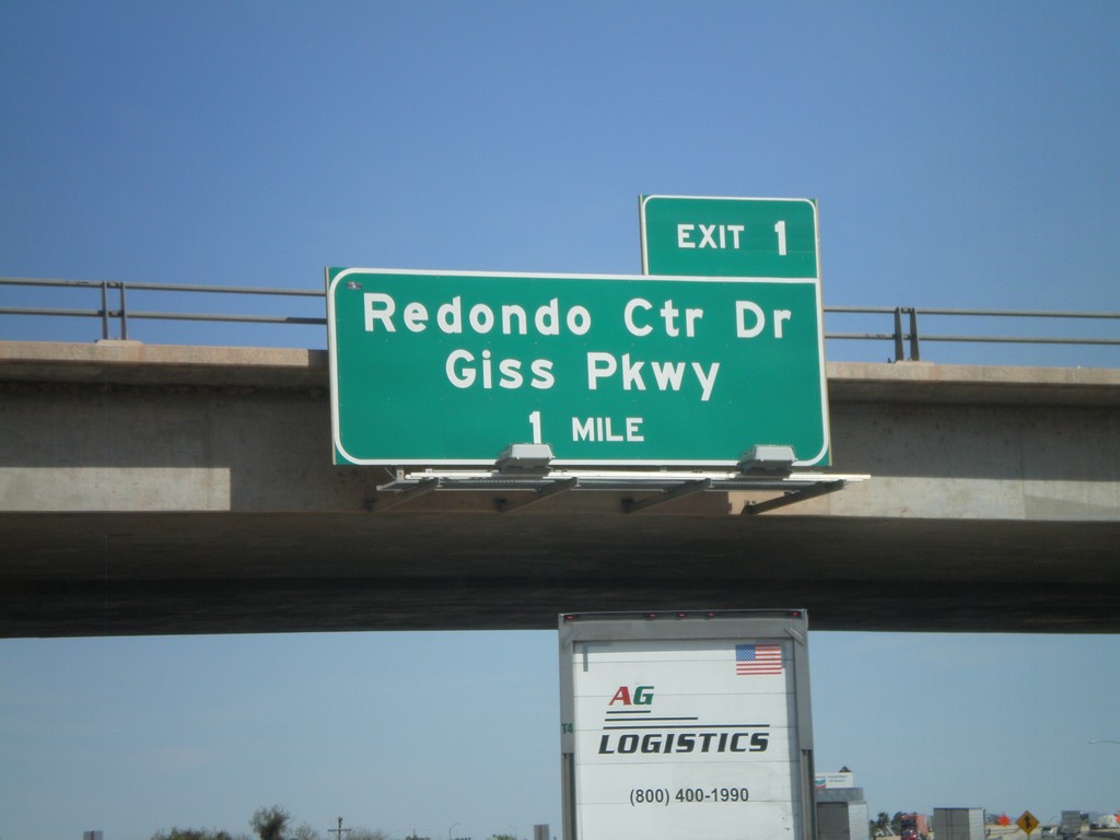
I-8 East - Arizona Exit 1
I-8 east approaching Arizona Exit 1 - Redondo Center Drive/Giss Parkway. This sign appears to have been placed by the Arizona DOT.
Taken 03-20-2010
 Winterhaven
Imperial County
California
United States
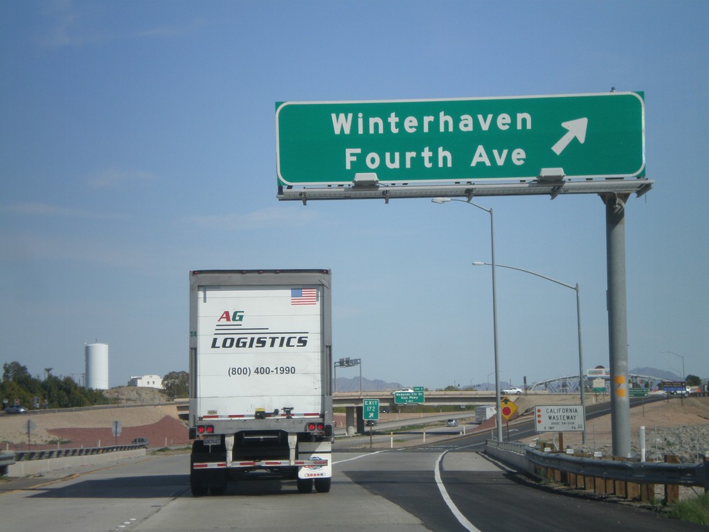
I-8 East - Exit 172
I-8 east at Exit 172 - Winterhaven/Fourth Ave. This is the last exit in California along I-8 east. Also crossing the California Wasteway.
Taken 03-20-2010
 Winterhaven
Imperial County
California
United States
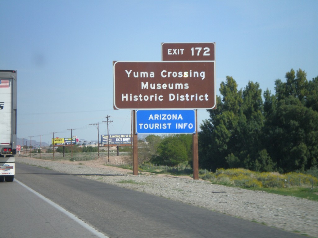
I-8 East Approaching Exit 172
I-8 east approaching Exit 172. Use Exit 172 for Yuma Crossing, Museums, and Historic District. Also use Exit 172 for the Arizona Welcome Center. While Exit 172 is in California, it does provide access to the city of Yuma, Arizona. This sign appears to have been placed by the Arizona DOT.
Taken 03-20-2010
 Winterhaven
Imperial County
California
United States
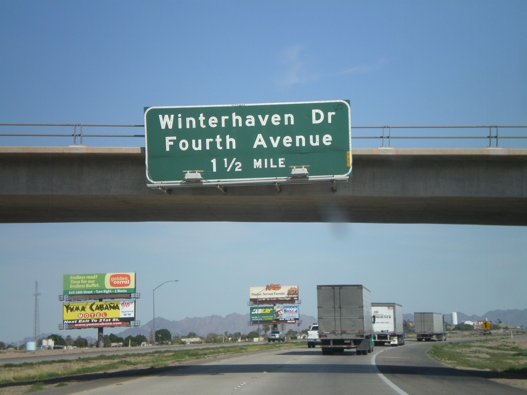
I-8 East Approaching Exit 172
I-8 east approaching Exit 172 - Winterhaven Drive/Fourth Ave.
Taken 03-20-2010
 Winterhaven
Imperial County
California
United States
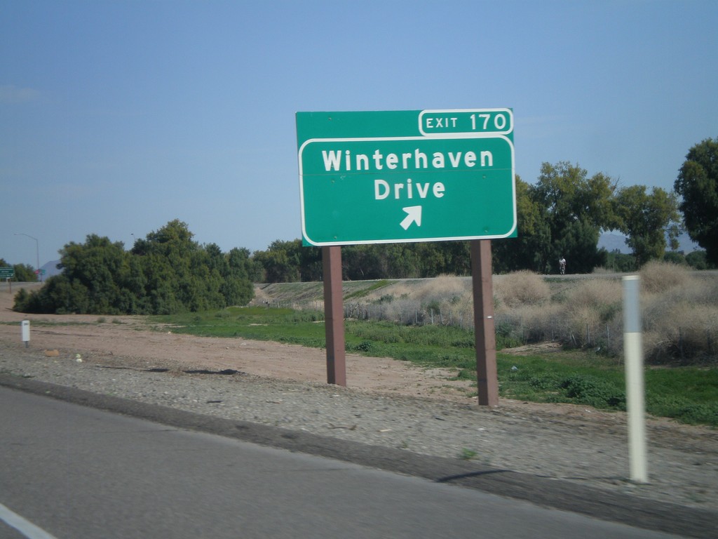
I-8 East - Exit 170
I-8 east at Exit 170 - Winterhaven Drive
Taken 03-20-2010
 Winterhaven
Imperial County
California
United States
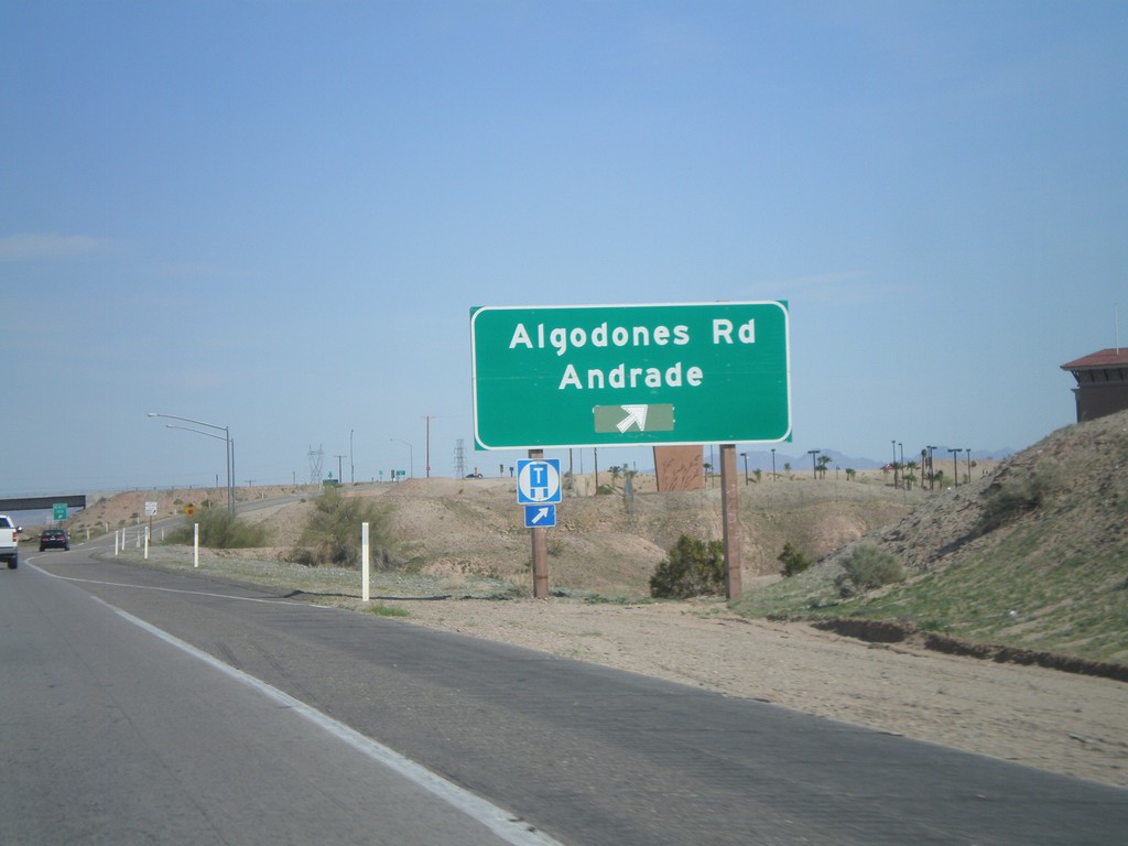
I-8 East - Exit 166
I-8 east at Exit 166 - Algodones Road/Andrade. Algodones Road is signed as CA-186, but is not marked on this sign. CA-186 is a short spur that connects I-8 with the Algodones Port of Entry with Mexico.
Taken 03-20-2010

 Winterhaven
Imperial County
California
United States
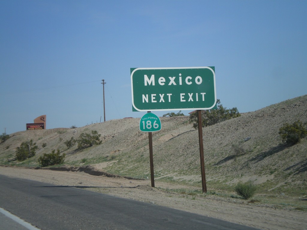
I-8 East Approaching Exit 166
I-8 east approaching Exit 166. Use Exit 166 for CA-186 to Mexico.
Taken 03-20-2010

 Winterhaven
Imperial County
California
United States
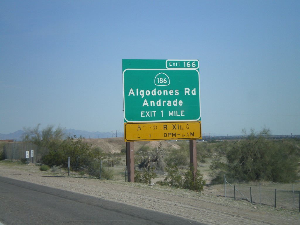
I-8 East Approaching Exit 166
I-8 east approaching Exit 166 - CA-186/Algodones Road/Andrade. Use CA-186 south for access to the Algodones Port of Entry with Mexico. The Port of Entry is closed from 10 PM to 6 AM.
Taken 03-20-2010

 Winterhaven
Imperial County
California
United States
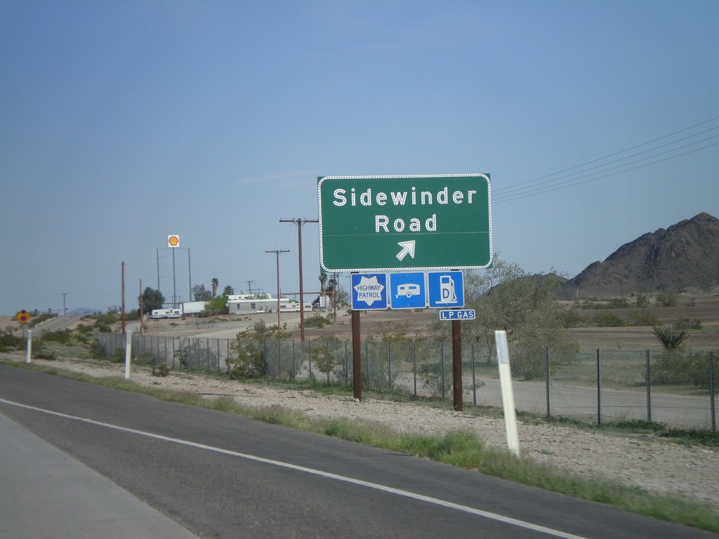
I-8 East - Exit 164
I-8 east at Exit 164 - Sidewinder Road.
Taken 03-20-2010
 Felicity
Imperial County
California
United States
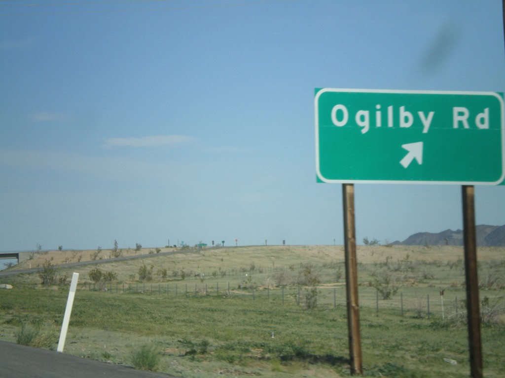
I-8 East - Exit 159
I-8 east at Exit 159 - Ogilby Road.
Taken 03-20-2010
 Winterhaven
Imperial County
California
United States
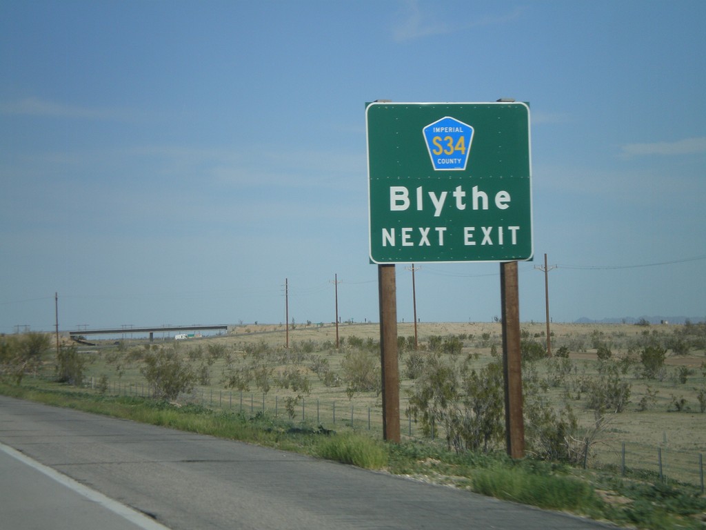
I-8 East Approaching Exit 159
I-8 east approaching Exit 159 - Imperial County S-34 to Blythe.
Taken 03-20-2010

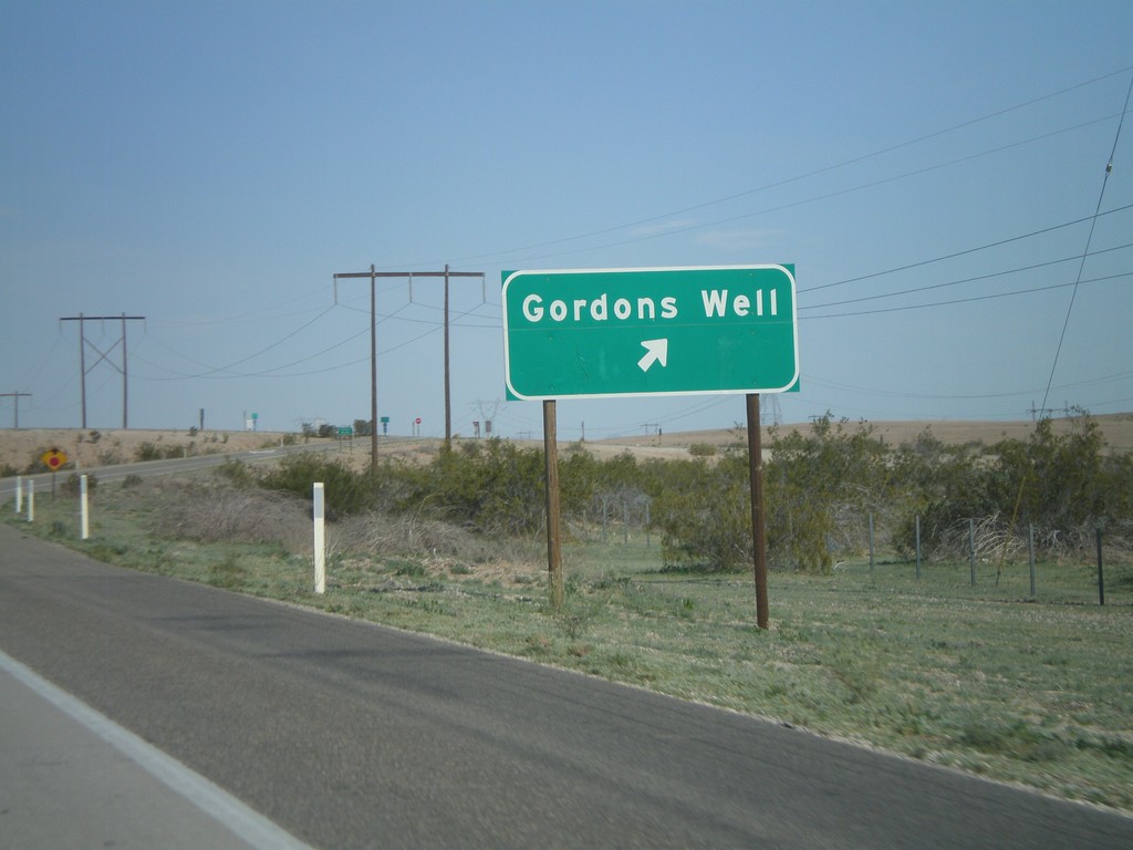
I-8 East - Exit 151
I-8 east at Exit 151 - Gordons Well
Taken 03-20-2010
 Winterhaven
Imperial County
California
United States
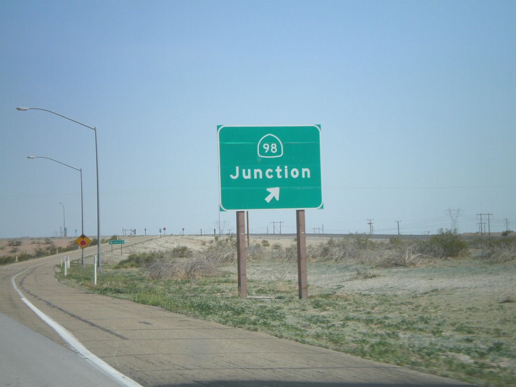
I-8 East - Exit 143
I-8 east at Exit 143 - CA-98 Junction
Taken 03-20-2010

 Holtville
Imperial County
California
United States
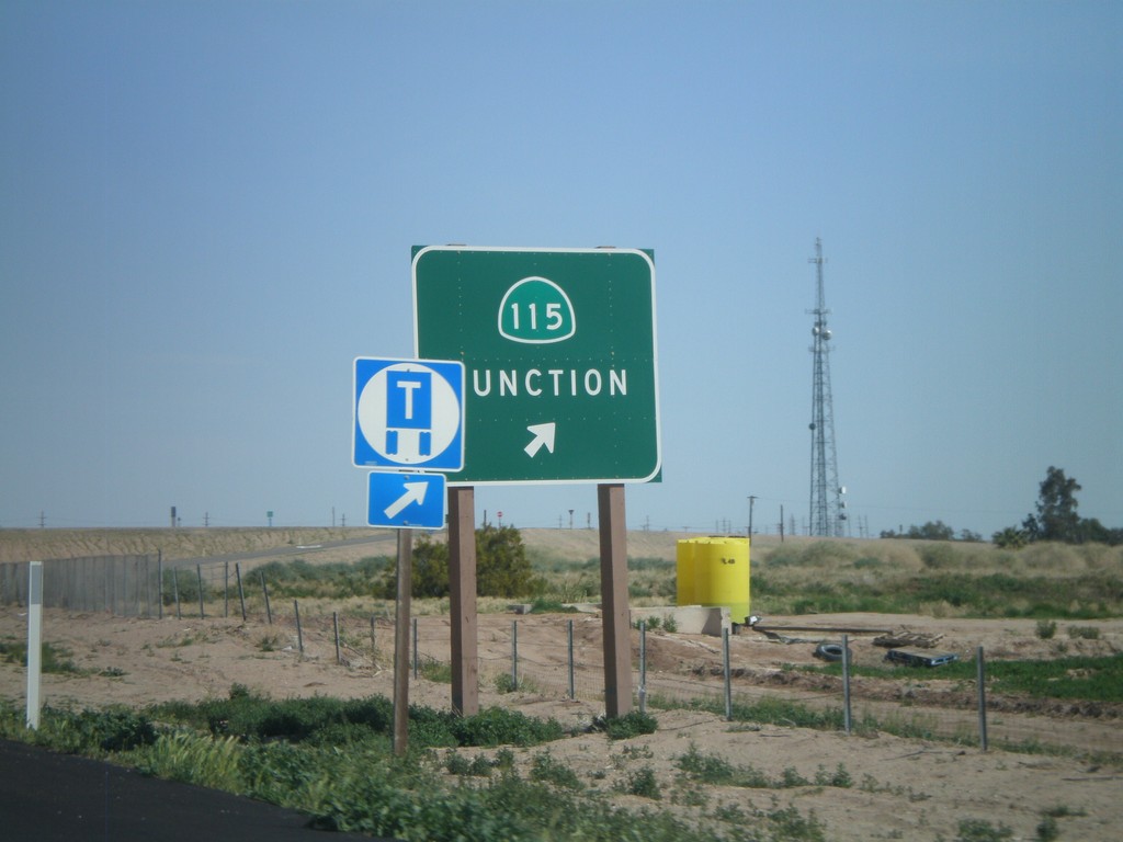
I-8 East - Exit 131
I-8 east at Exit 131 - CA-115 Junction
Taken 03-20-2010

 Date City
Imperial County
California
United States
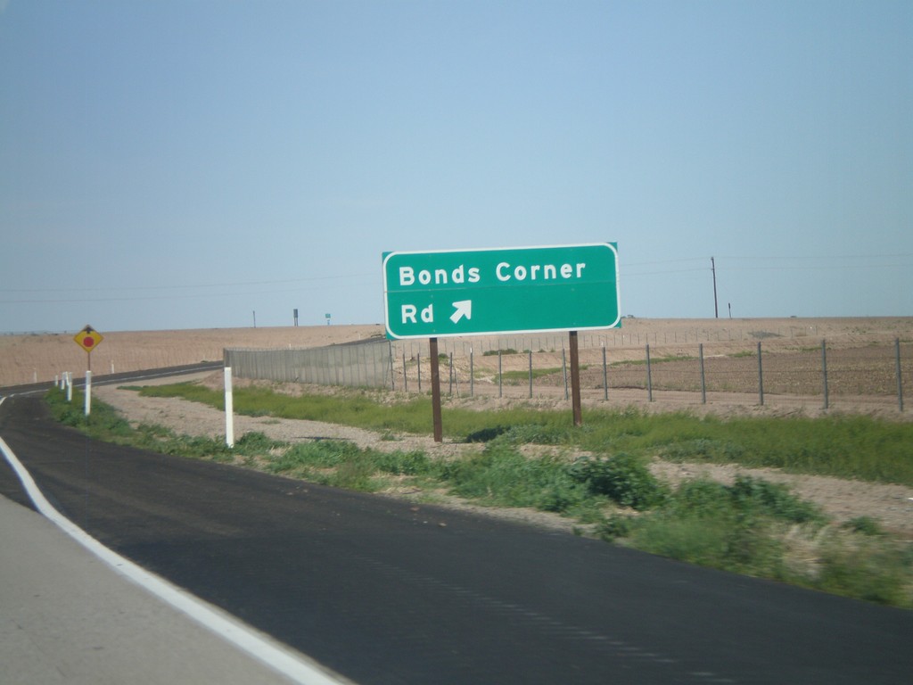
I-8 East - Exit 128
I-8 east at Exit 128 - Bonds Corner Road
Taken 03-20-2010
 Holtville
Imperial County
California
United States
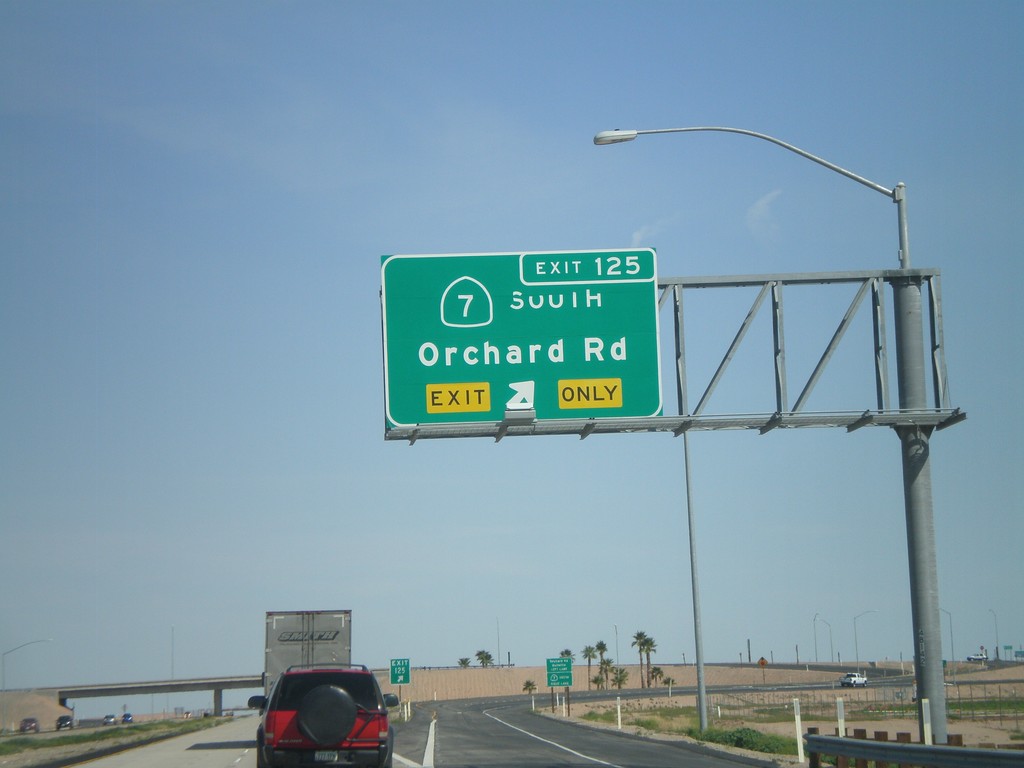
I-8 East - Exit 125
I-8 east at Exit 125 - CA-7 South/Orchard Road
Taken 03-20-2010

 Holtville
Imperial County
California
United States
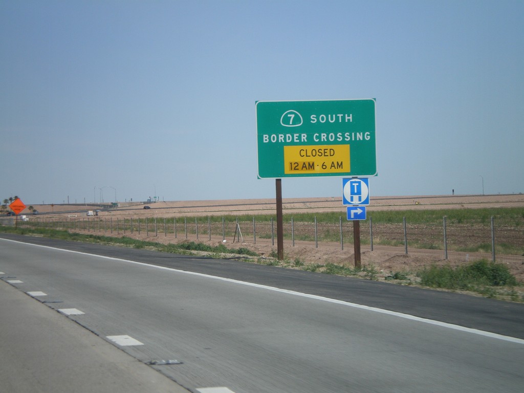
I-8 East Approaching CA-7 - Port of Entry Hours
I-8 east approaching CA-7 - Border Crossing Hours. Port of Entry Closed from 12AM to 6AM.
Taken 03-20-2010

 Holtville
Imperial County
California
United States
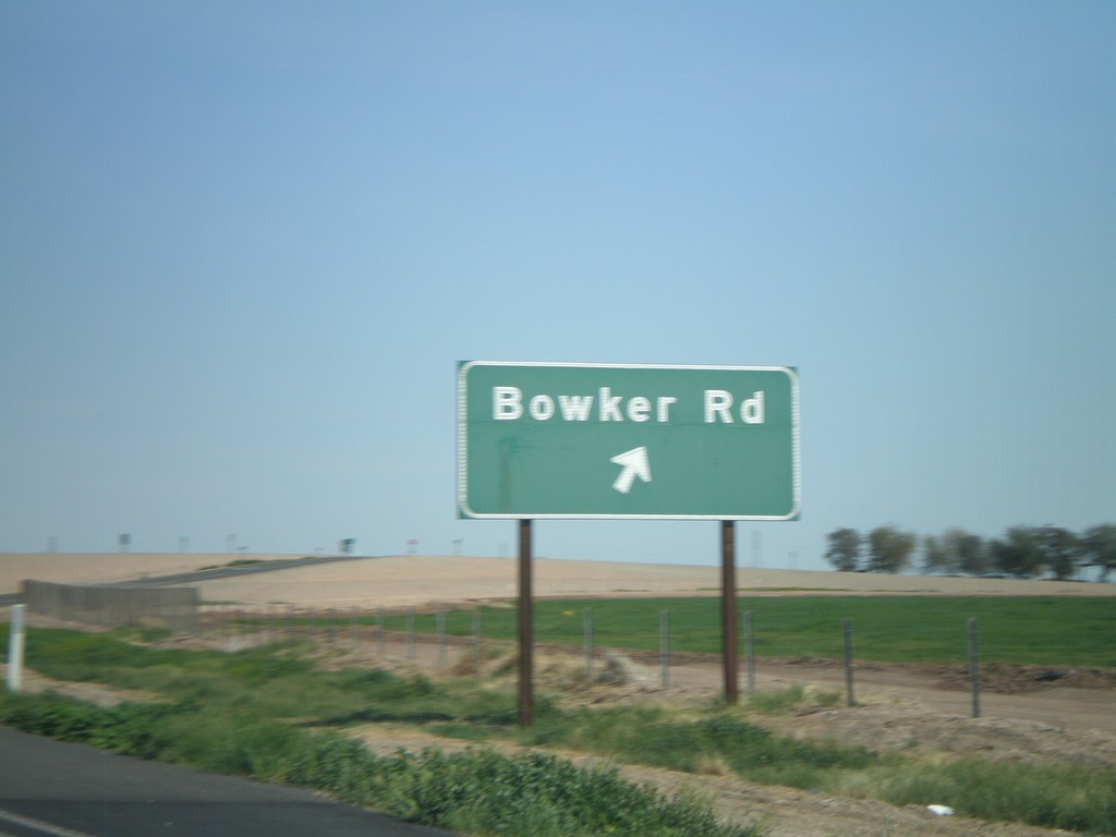
I-8 East - Exit 120
I-8 east at Exit 120 - Bowker Road
Taken 03-20-2010
 El Centro
Imperial County
California
United States