Signs Tagged With Interchange
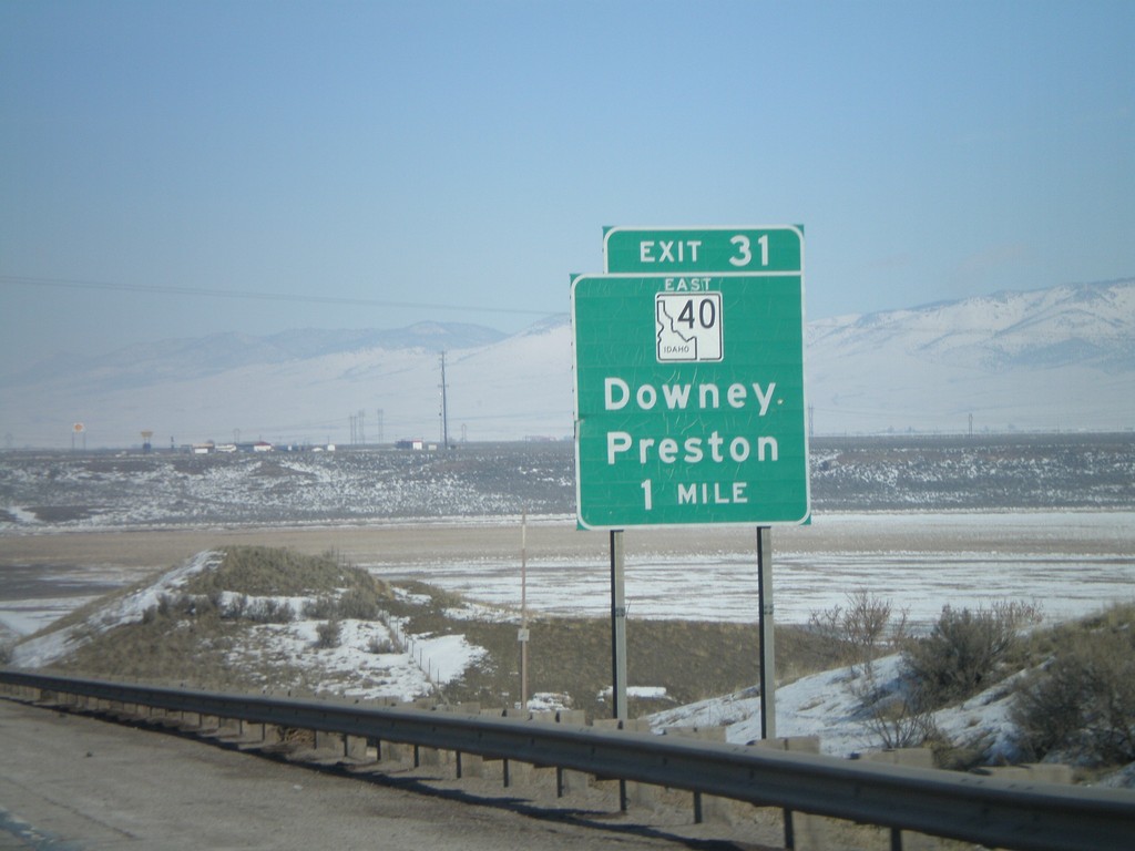
I-15 North - Exit 31
I-15 north approaching Exit 31 - ID-40 East/Downey/Preston.
Taken 02-17-2008

 Downey
Bannock County
Idaho
United States
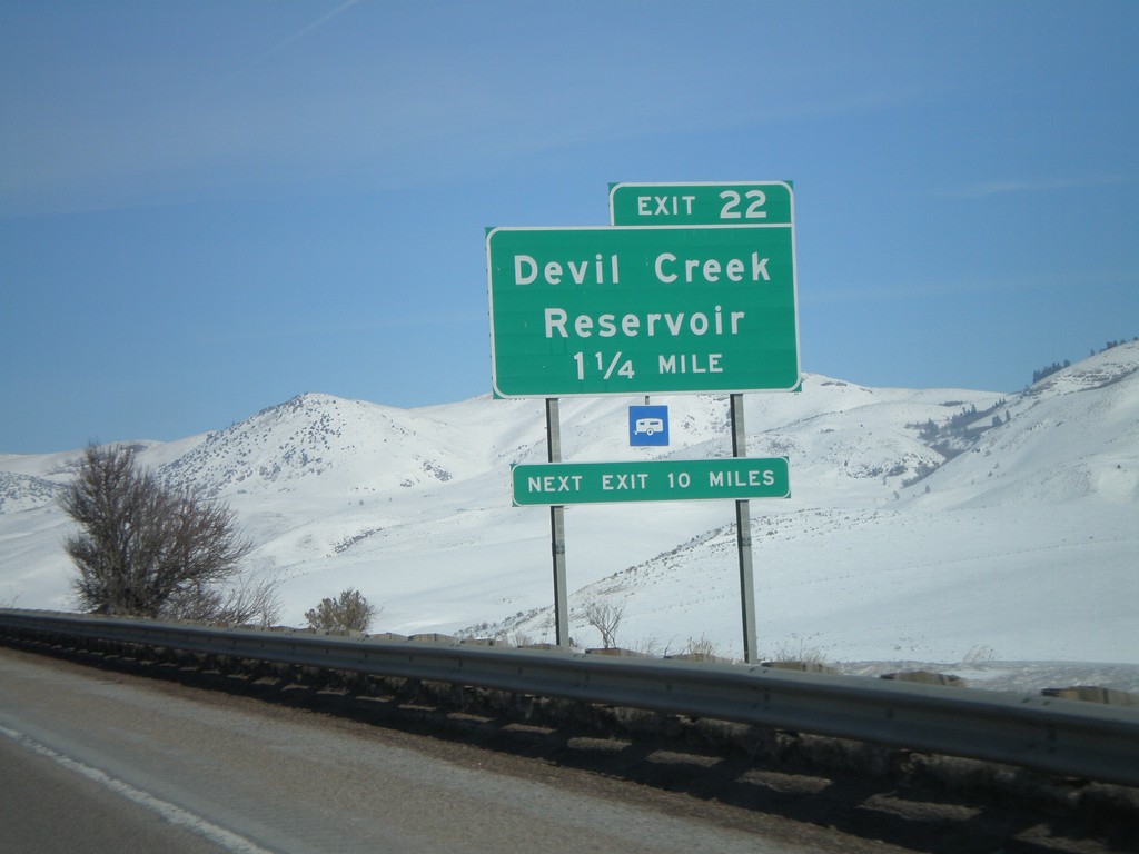
I-15 North - Exit 22
I-15 north approaching Exit 22 - Devil Creek Reservoir.
Taken 02-17-2008
 Malad City
Oneida County
Idaho
United States
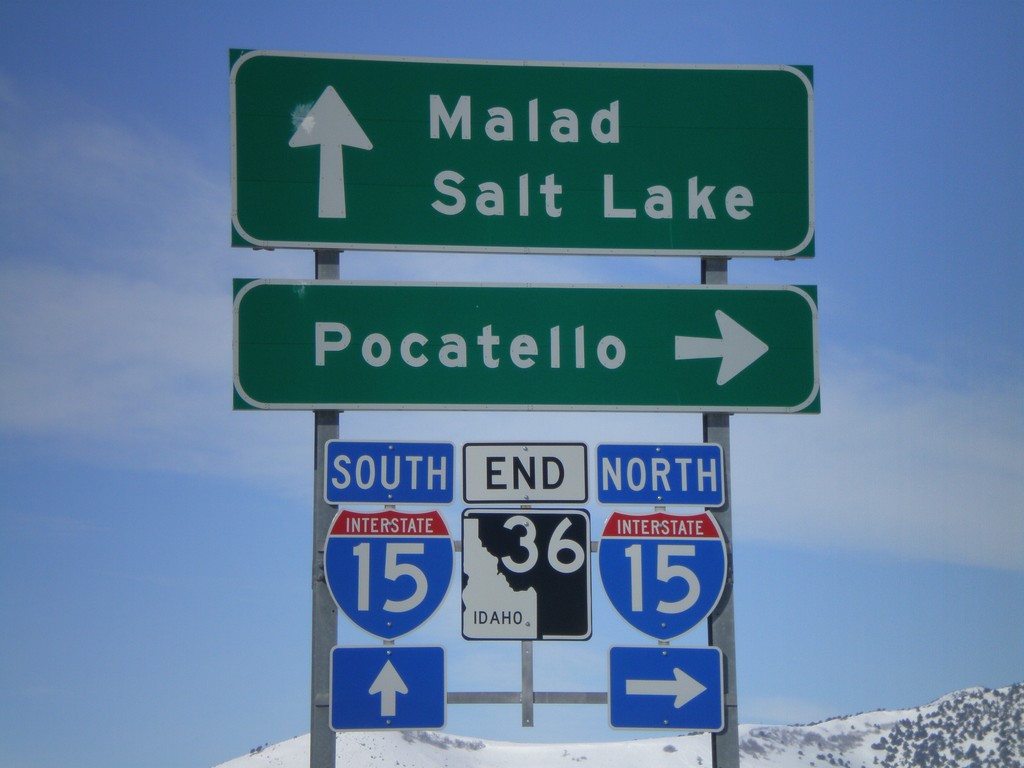
End ID-36 West at I-15
End ID-36 west at I-15 north to Pocatello, and south to Malad and Salt Lake.
Taken 02-17-2008

 Malad City
Oneida County
Idaho
United States
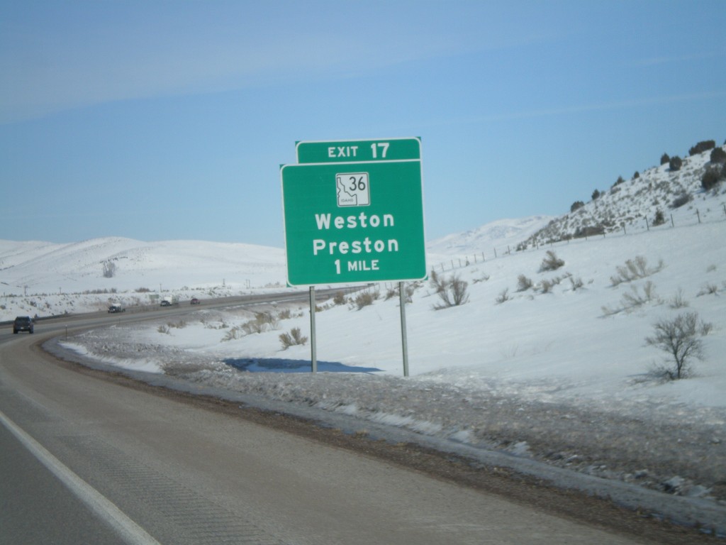
I-15 North - Exit 17
I-15 north approaching Exit 17 - ID-36/Weston/Preston.
Taken 02-17-2008

 Malad City
Oneida County
Idaho
United States
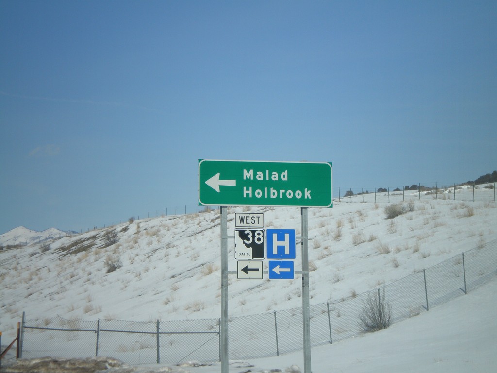
I-15 North Offramp at ID-38
I-15 north Exit 13 at ID-38 to Malad and Holbrook.
Taken 02-17-2008

 Malad City
Oneida County
Idaho
United States
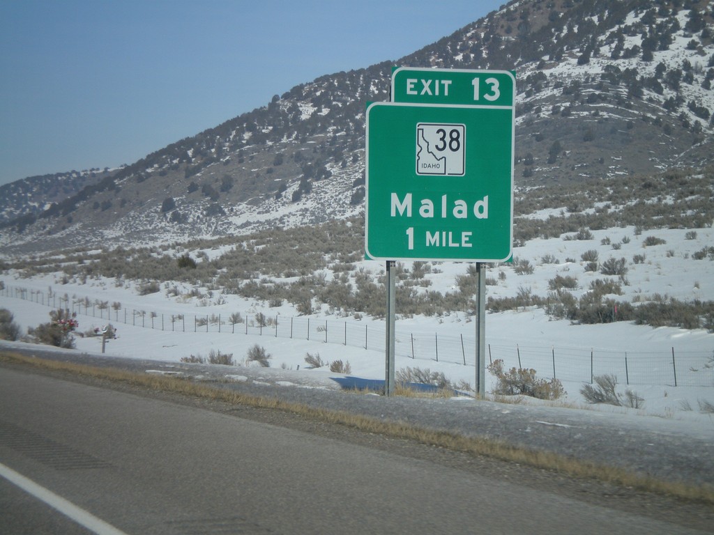
I-15 North - Exit 13
I-15 north approaching Exit 13 - ID-38/Malad
Taken 02-17-2008

 Malad City
Oneida County
Idaho
United States
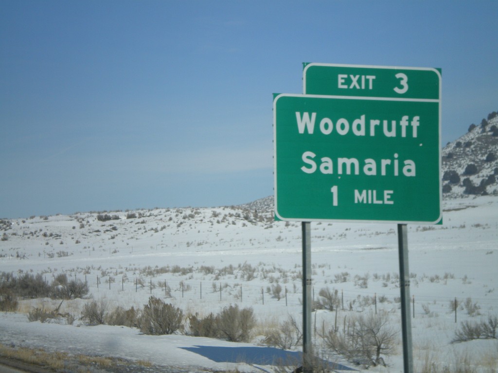
I-15 North - Exit 3
I-15 north approaching Exit 3 - Woodruff/Samaria. This is the first Idaho exit on I-15 northbound.
Taken 02-17-2008
 Malad City
Oneida County
Idaho
United States
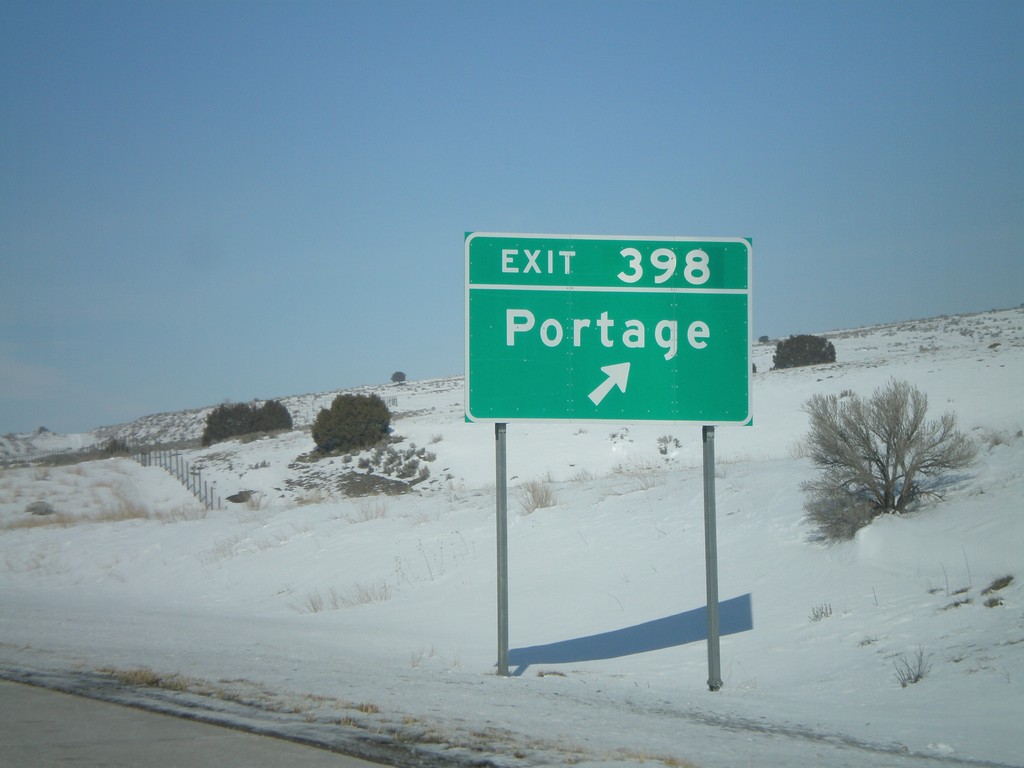
I-15 North - Exit 398
I-15 north at Exit 398 - Portage. This is the last Utah exit on I-15.
Taken 02-17-2008
 Portage
Box Elder County
Utah
United States
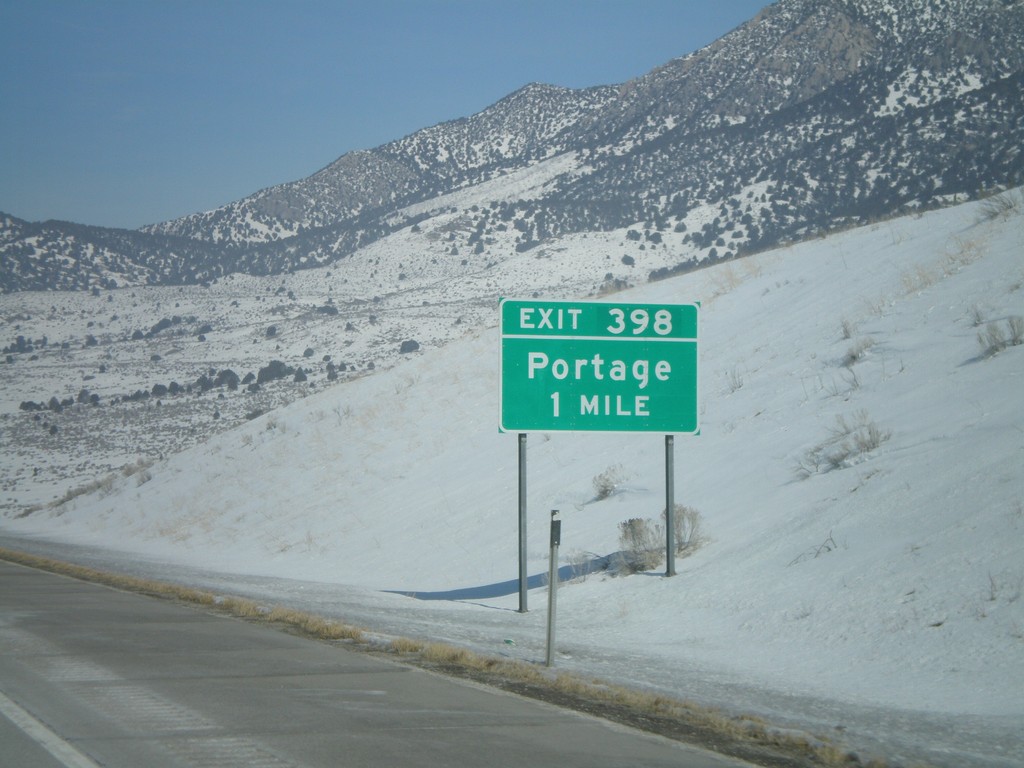
I-15 North - Exit 398
I-15 north approaching Exit 398 - Portage. This is the last exit in Utah on I-15.
Taken 02-17-2008
 Portage
Box Elder County
Utah
United States
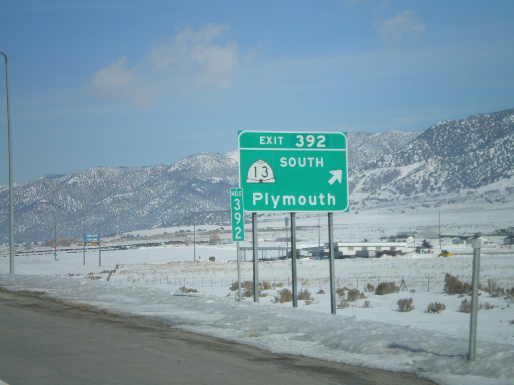
I-15 North - Exit 392
I-15 north at Exit 392 - UT-13 South/Plymouth.
Taken 02-17-2008

 Garland
Box Elder County
Utah
United States
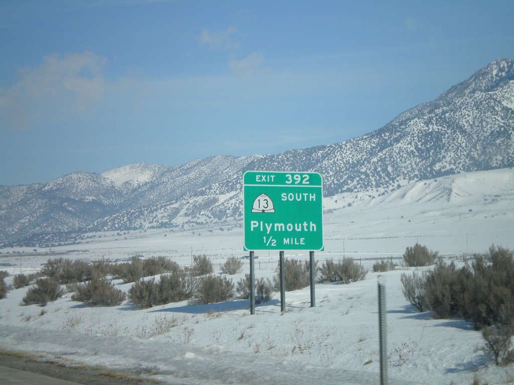
I-15 North - Exit 392
I-15 north approaching Exit 392 - UT-13 South/Plymouth.
Taken 02-17-2008

 Garland
Box Elder County
Utah
United States
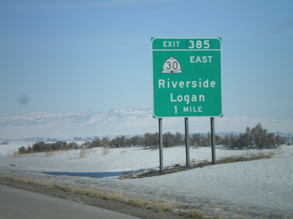
I-15 North - Exit 385
I-15 north approaching Exit 385 - UT-30 East/Riverside/Logan.
Taken 02-17-2008

 Garland
Box Elder County
Utah
United States
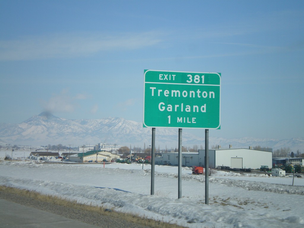
I-15 North - Exit 381
I-15 north approaching Exit 381 - Tremonton/Garland.
Taken 02-17-2008
 Tremonton
Box Elder County
Utah
United States
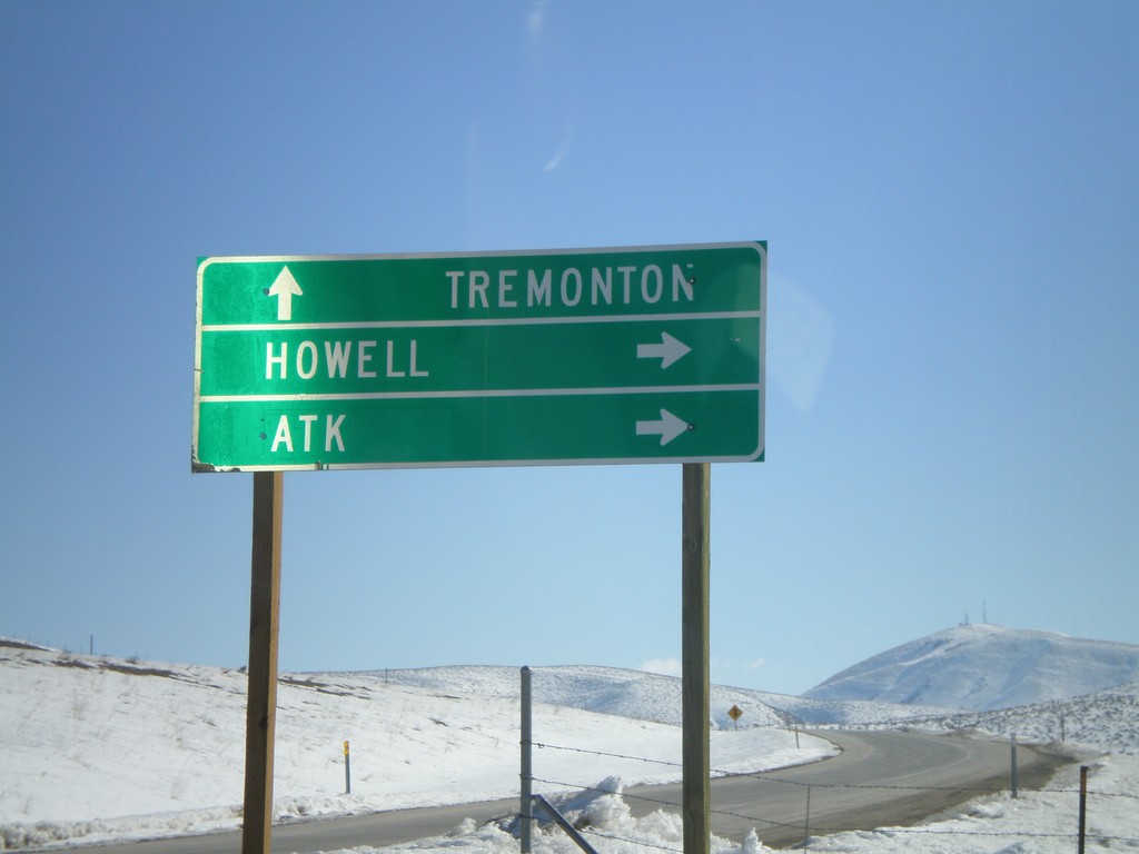
I-84 East at UT-83
I-84 Exit 26 offramp at UT-83 - south to ATK and Howell.
Taken 02-17-2008

 Howell
Box Elder County
Utah
United States
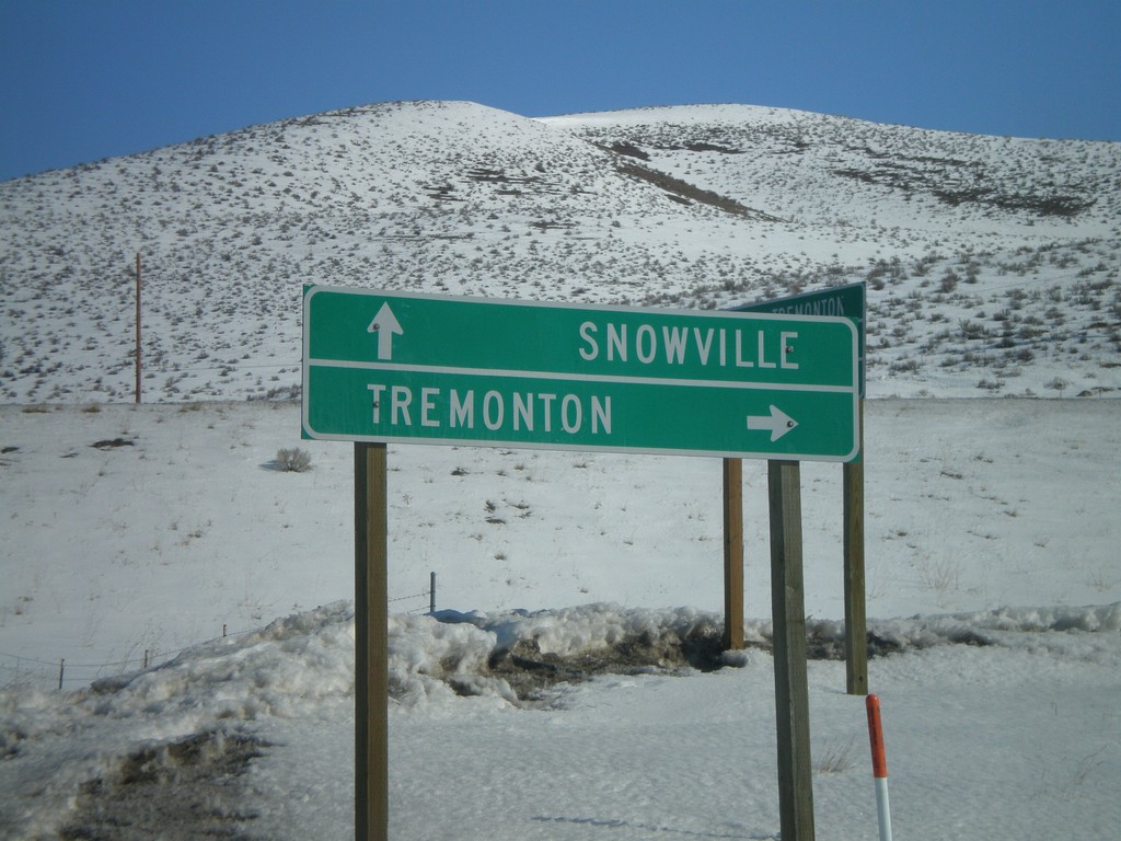
UT-83 North At I-84
End UT-83 north at I-84 - east to Tremonton, west to Snowville.
Taken 02-17-2008

 Howell
Box Elder County
Utah
United States
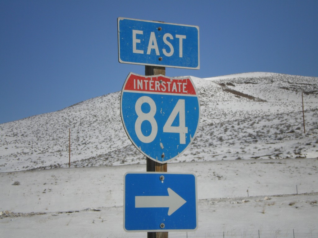
UT-83 North at I-84 East
End UT-83 north at I-84.
Taken 02-17-2008

 Howell
Box Elder County
Utah
United States
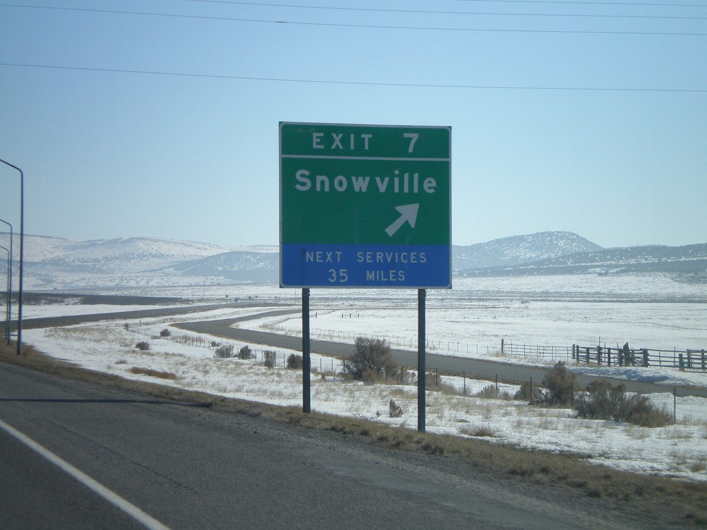
I-84 East - Exit 7
I-84 east at Exit 7 - Snowville.
Taken 02-17-2008
 Snowville
Box Elder County
Utah
United States
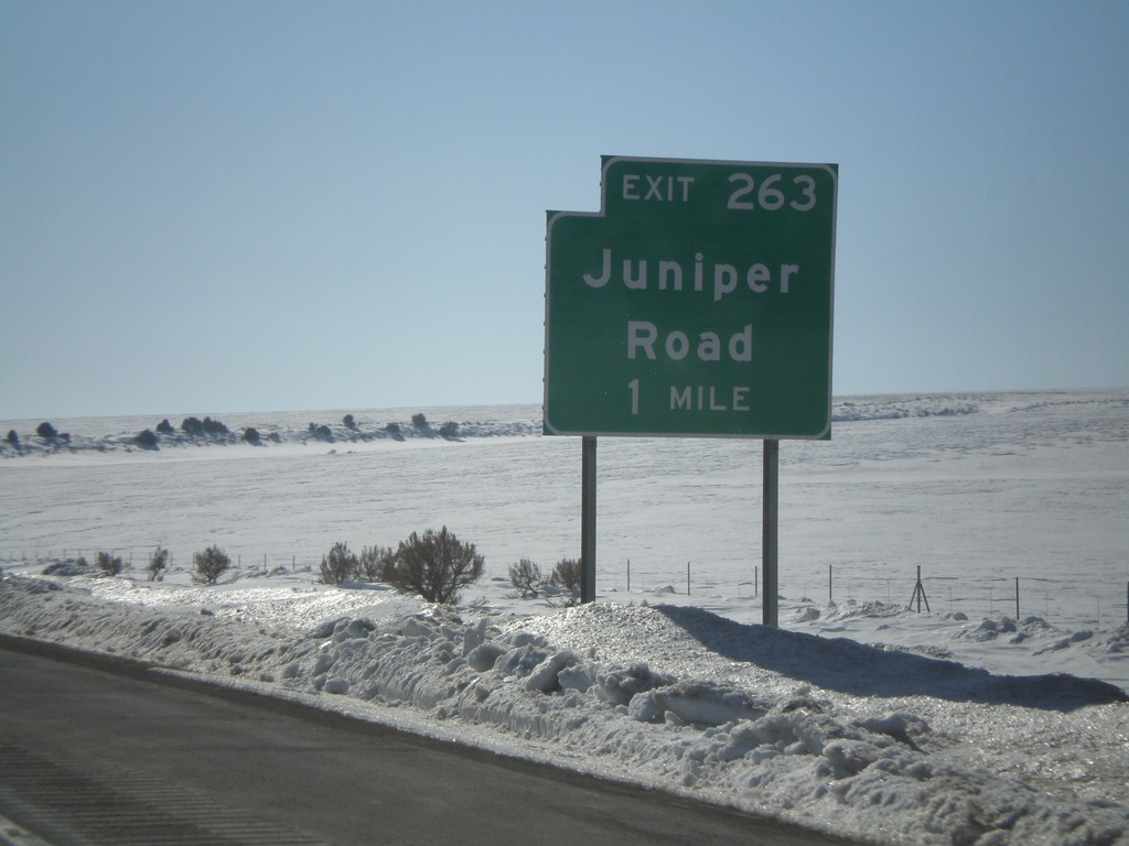
I-84 East - Exit 263
I-84 east approaching Exit 263 - Juniper Road. This is the last exit in Idaho on I-84.
Taken 02-17-2008
 Malta
Oneida County
Idaho
United States
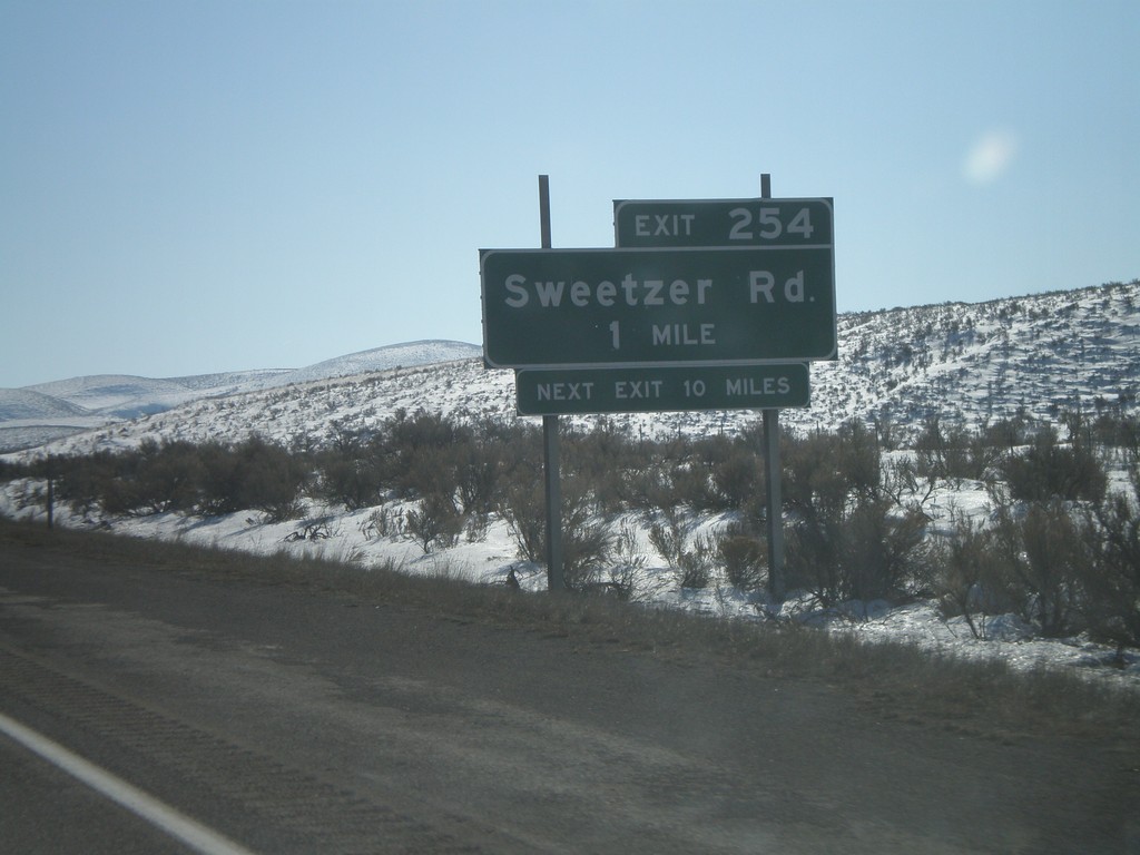
I-84 East - Exit 254
I-84 east approaching Exit 254 - Sweetzer Road.
Taken 02-17-2008
 Malta
Cassia County
Idaho
United States
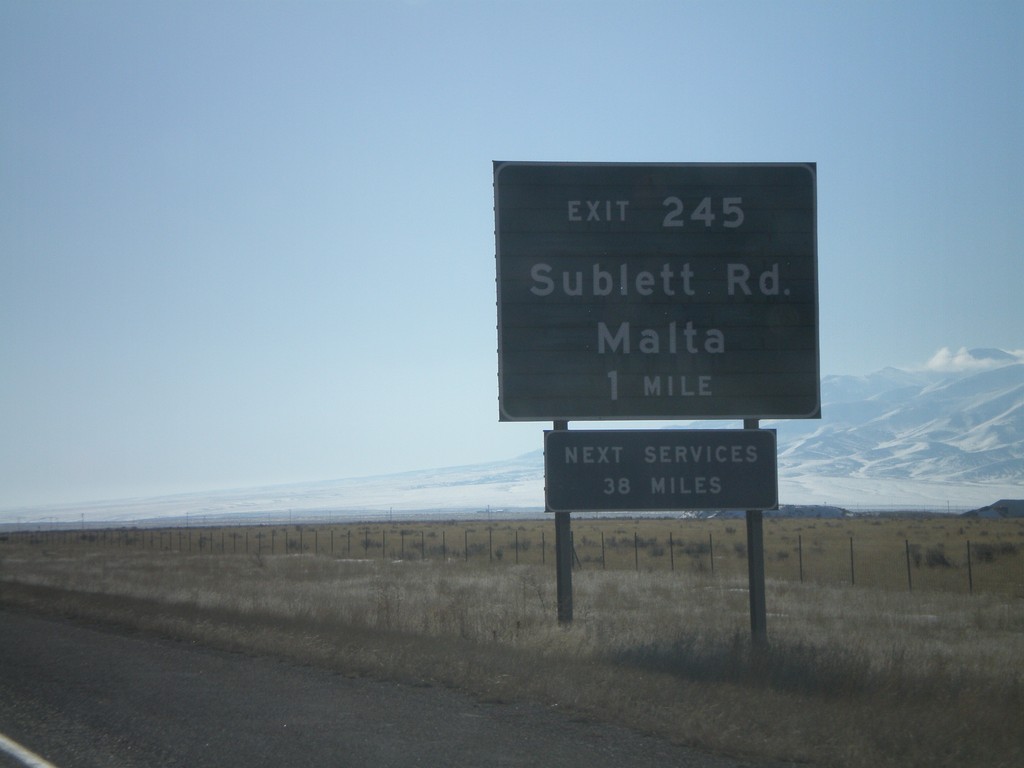
I-84 East - Exit 245
I-84 east approaching Exit 245 - Sublett Road/Malta.
Taken 02-17-2008
 Sublett
Cassia County
Idaho
United States
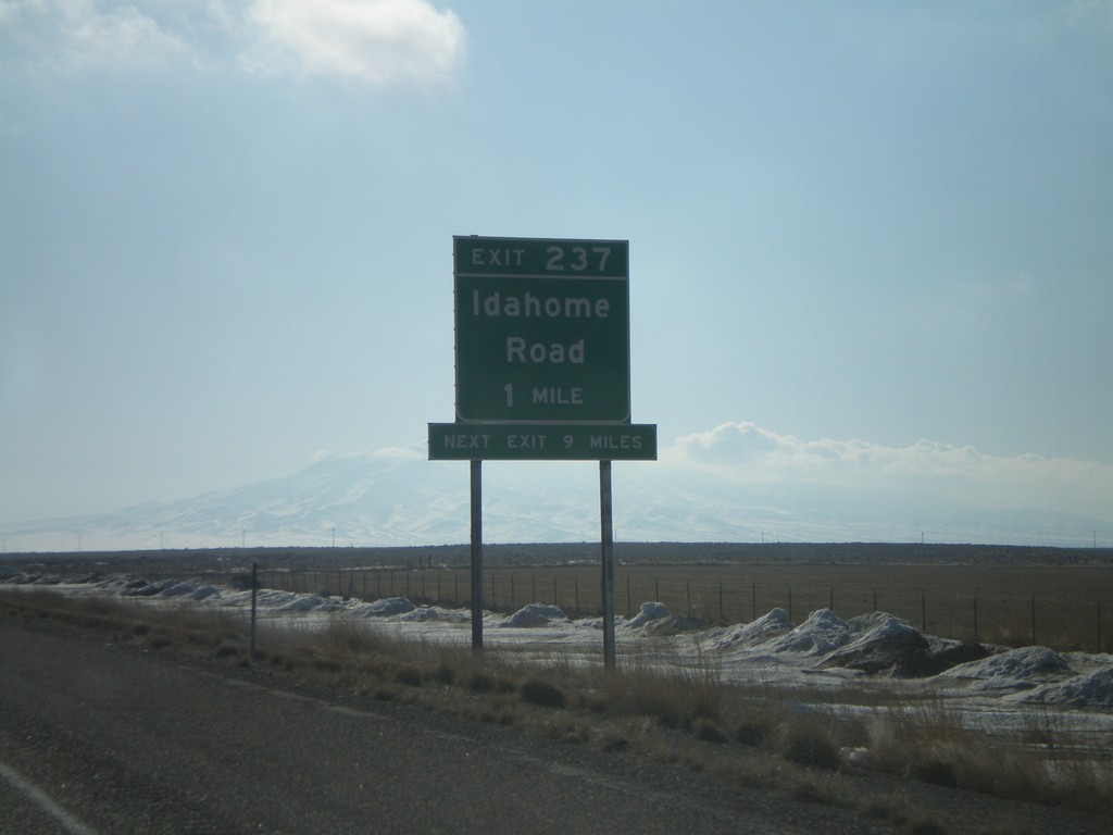
I-84 East - Exit 237
I-84 east approaching Exit 237 - Idahome Road.
Taken 02-17-2008
 Idahome
Cassia County
Idaho
United States
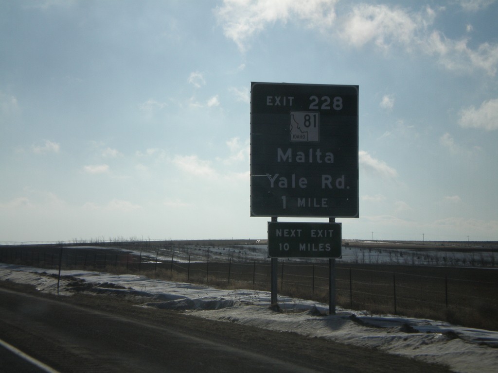
I-84 East - Exit 228
I-84 east approaching Exit 228 - ID-81/Yale Road/Malta.
Taken 02-17-2008

 Declo
Cassia County
Idaho
United States
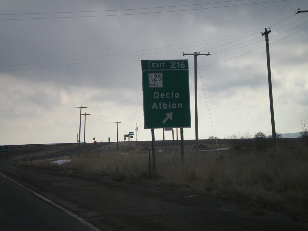
I-84 East - Exit 216
I-84 east at Exit 216 - ID-25/ID-77/Declo/Albion. The ID-77 shield is missing from this sign, but is present in the advance signage, as well as on signs on the other direction.
Taken 02-17-2008


 Rupert
Minidoka County
Idaho
United States
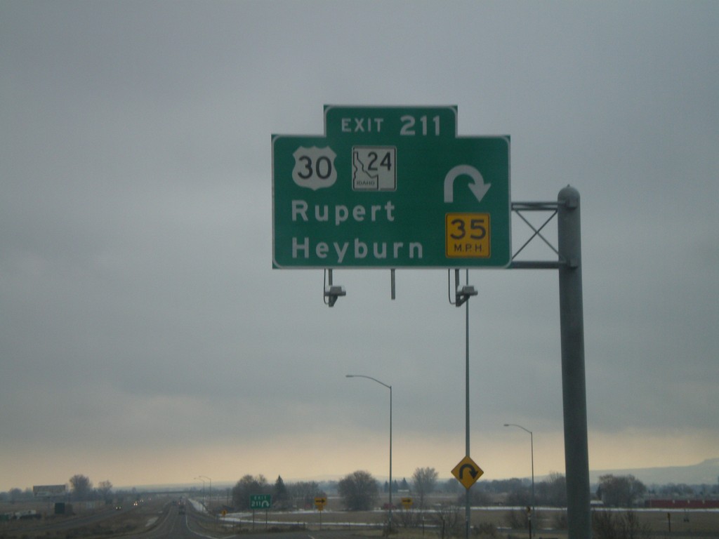
I-84 East - Exit 211
I-84 east at Exit 211 - US-30/ID-24/Rupert/Heyburn. This is one of the few overheads on Idaho highways outside of the metro. areas.
Taken 02-17-2008


 Rupert
Minidoka County
Idaho
United States
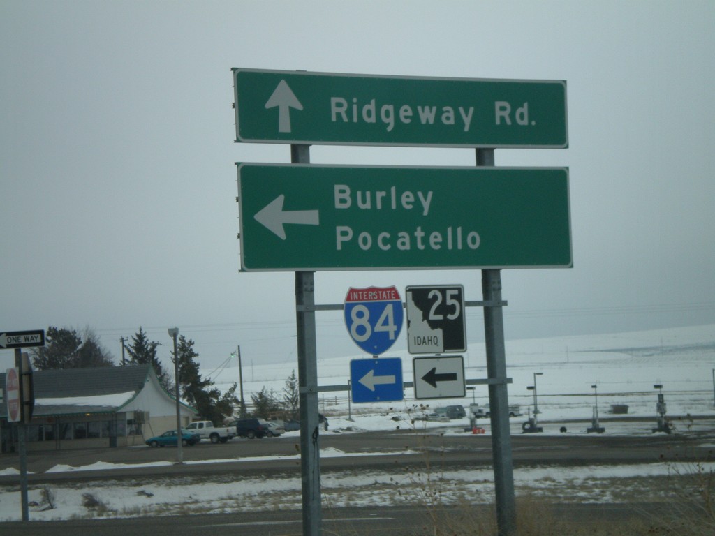
ID-25 East at I-84/ID-25 East
ID-25 east at I-84 east (Exit 194) to Burley and Pocatello. ID-25 follows I-84 east 7 miles.
Taken 02-17-2008

 Hazelton
Jerome County
Idaho
United States