Signs Tagged With Interchange
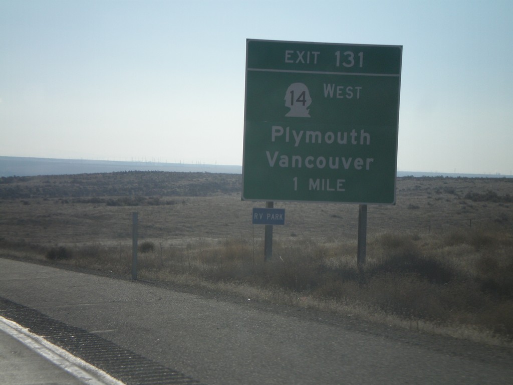
I-82 East - Exit 131
I-82 east approaching Exit 131 - WA-14 West/Plymouth/Vancouver. This is the last Washington exit on I-82.
Taken 01-22-2008


 Plymouth
Benton County
Washington
United States
Plymouth
Benton County
Washington
United States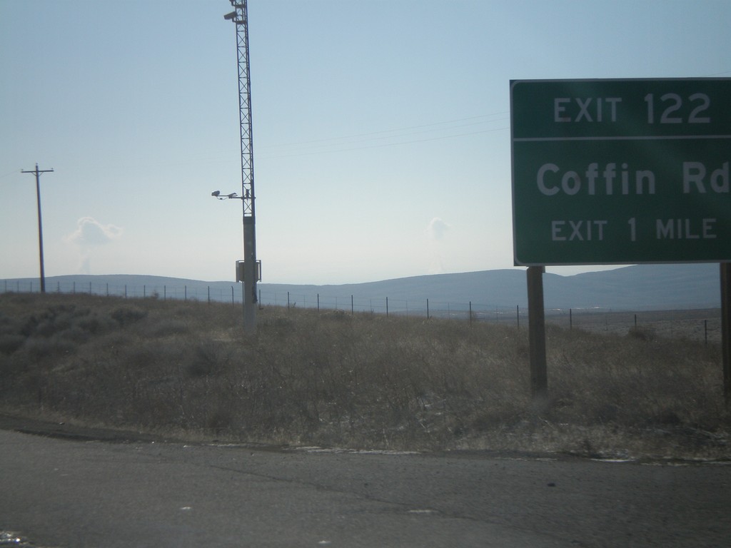
I-82 East - Exit 122
I-82 east approaching Exit 122 - Coffin Road.
Taken 01-22-2008
Kennewick
Benton County
Washington
United States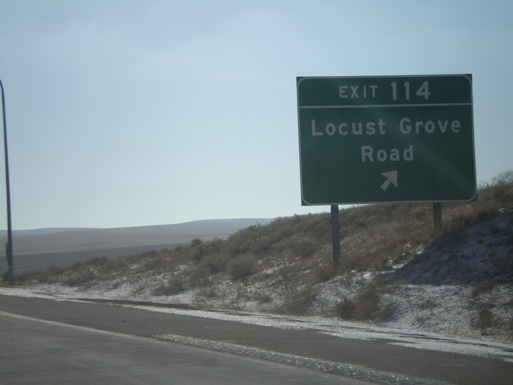
I-82 East - Exit 114
I-82 east at Exit 114 - Locust Grove Road.
Taken 01-22-2008
Highland
Benton County
Washington
United States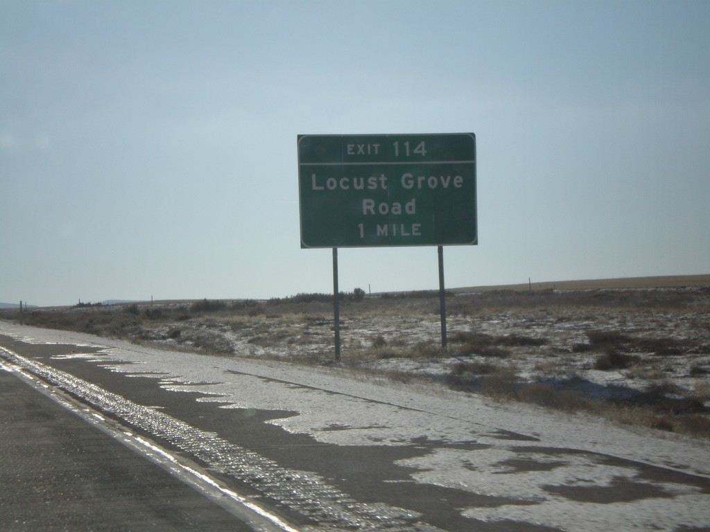
I-82 East - Exit 114
I-82 east approaching Exit 114 - Locust Grove Road.
Taken 01-22-2008
Kennewick
Benton County
Washington
United States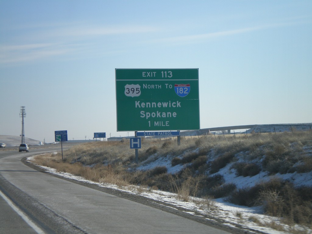
I-82 East - Exit 113
I-82 east approaching Exit 113 - US-395 North/To I-182/Kennewick/Spokane. US-395 joins I-82 from here to Umatilla, OR.
Taken 01-22-2008
 Kennewick
Benton County
Washington
United States
Kennewick
Benton County
Washington
United States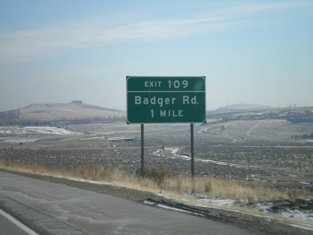
I-82 East - Exit 109
I-82 east approaching Exit 109 - Badger Road.
Taken 01-22-2008
Kennewick
Benton County
Washington
United States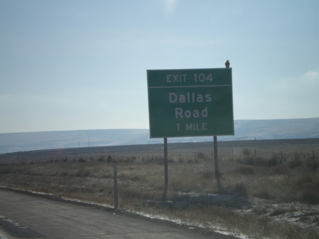
I-82 East - Exit 104
I-82 east approaching Exit 104 - Dallas Road.
Taken 01-22-2008
Benton City
Benton County
Washington
United States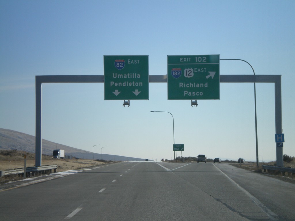
I-82 East - Exit 102
I-82 east at Exit 102 - I-182/US-12 East/Richland/Pasco. Overhead for I-82 East to Umatilla and Pendleton. US-12 joins I-82 from here to Yakima.
Taken 01-22-2008
 West Richland
Benton County
Washington
United States
West Richland
Benton County
Washington
United States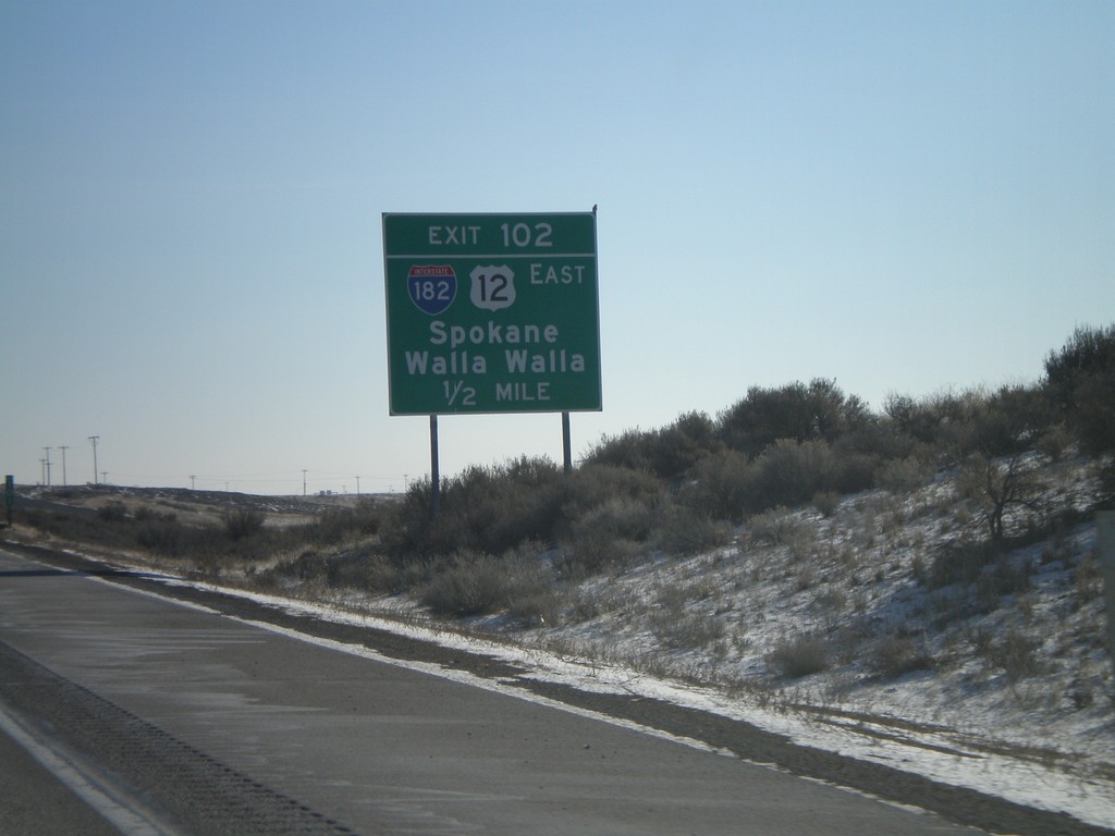
I-82 East - Exit 102
I-82 west approaching Exit 102. Use Exit 102 for Spokane and Walla Walla.
Taken 01-22-2008
Benton City
Benton County
Washington
United States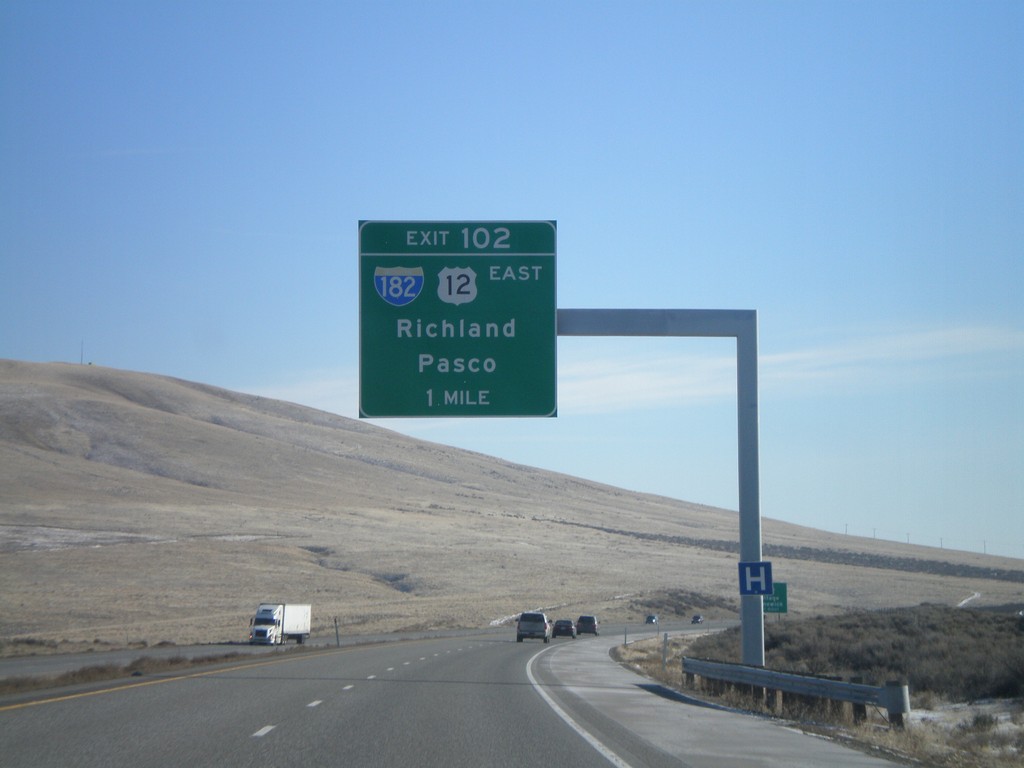
I-82 East - Exit 102
I-82 east approaching Exit 102 - I-182/US-12 East/Richland/Pasco.
Taken 01-22-2008
West Richland
Benton County
Washington
United States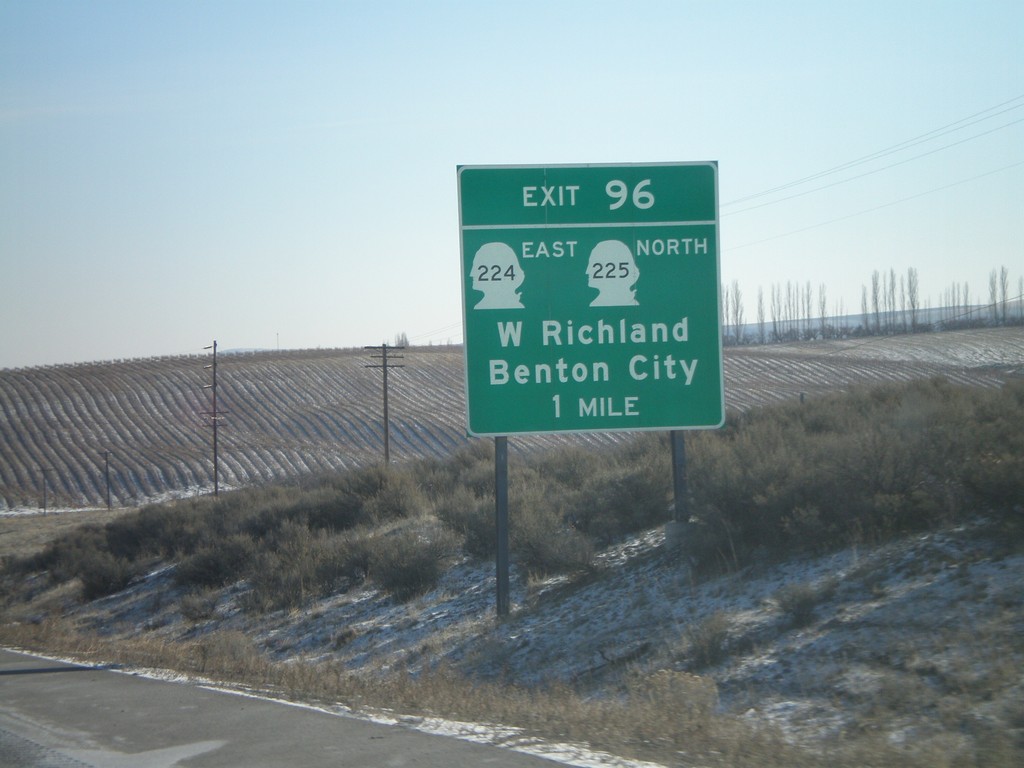
I-82 East - Exit 96
I-82 east approaching Exit 96 - WA-224 East/WA-225 North/W. Richland/Benton City.
Taken 01-22-2008

 Benton City
Benton County
Washington
United States
Benton City
Benton County
Washington
United States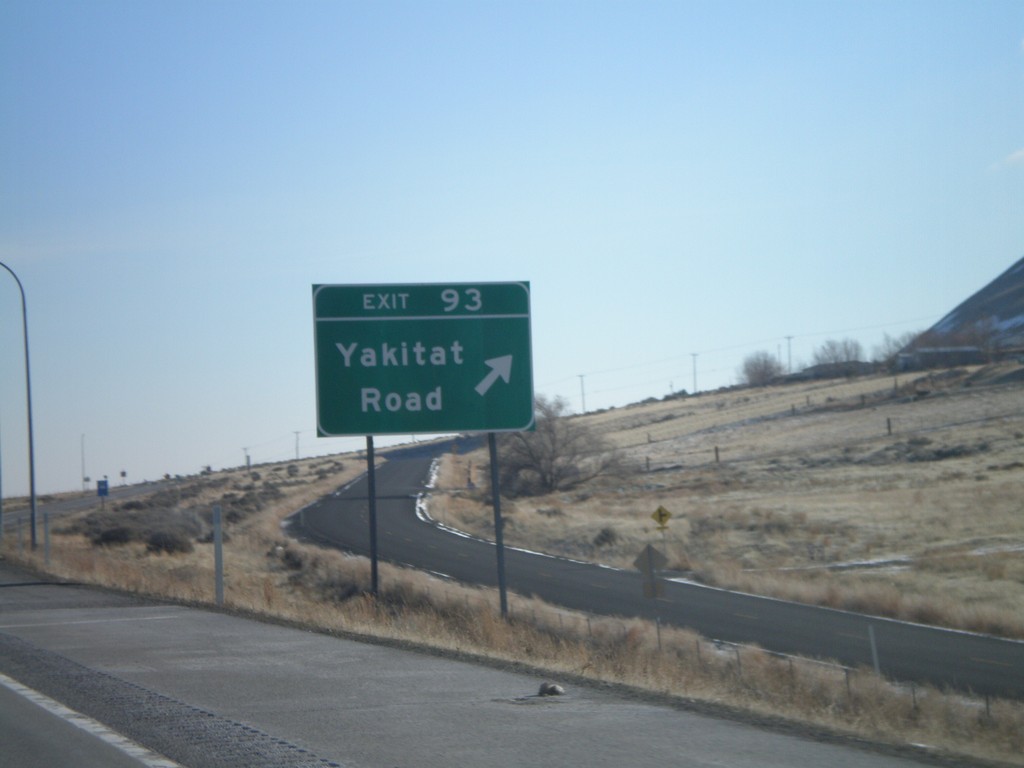
I-82 East - Exit 93
I-82 east at Exit 93 - Yakitat Road.
Taken 01-22-2008
Benton City
Benton County
Washington
United States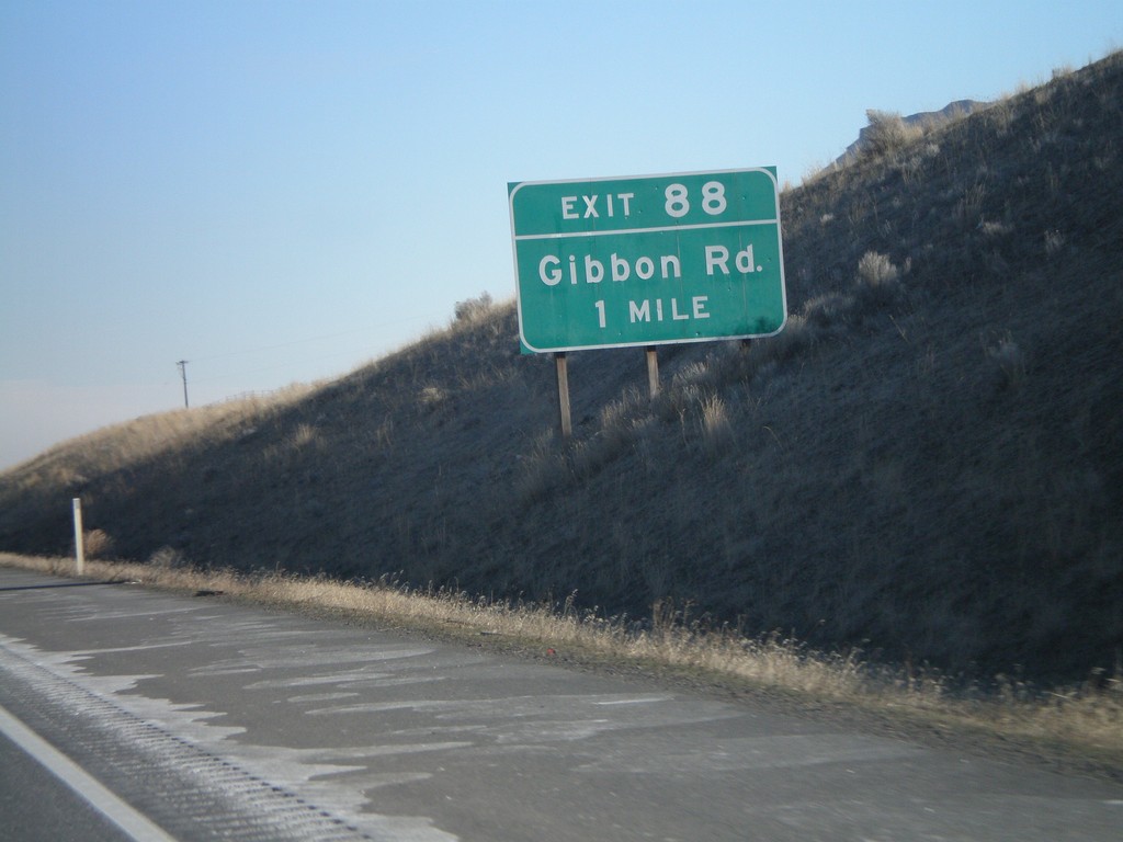
I-82 East - Exit 88
I-82 east approaching Exit 88 - Gibbon Road.
Taken 01-22-2008
Benton City
Benton County
Washington
United States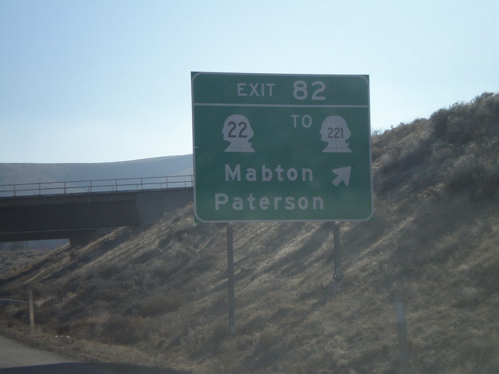
I-82 East - Exit 82
I-82 east at Exit 82 - WA-22/To WA-221/Mabton/Patterson.
Taken 01-22-2008

 Prosser
Benton County
Washington
United States
Prosser
Benton County
Washington
United States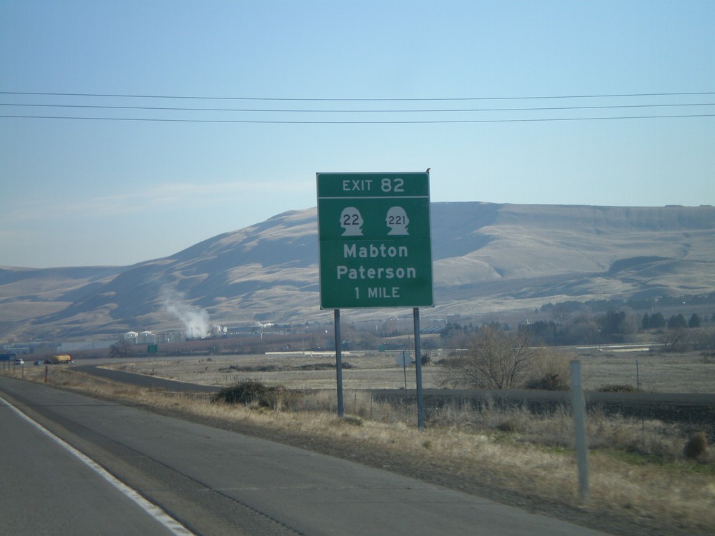
I-82 East - Exit 82
I-82 east approaching Exit 82 - WA-22/WA-221/Mabton/Patterson.
Taken 01-22-2008
Prosser
Benton County
Washington
United States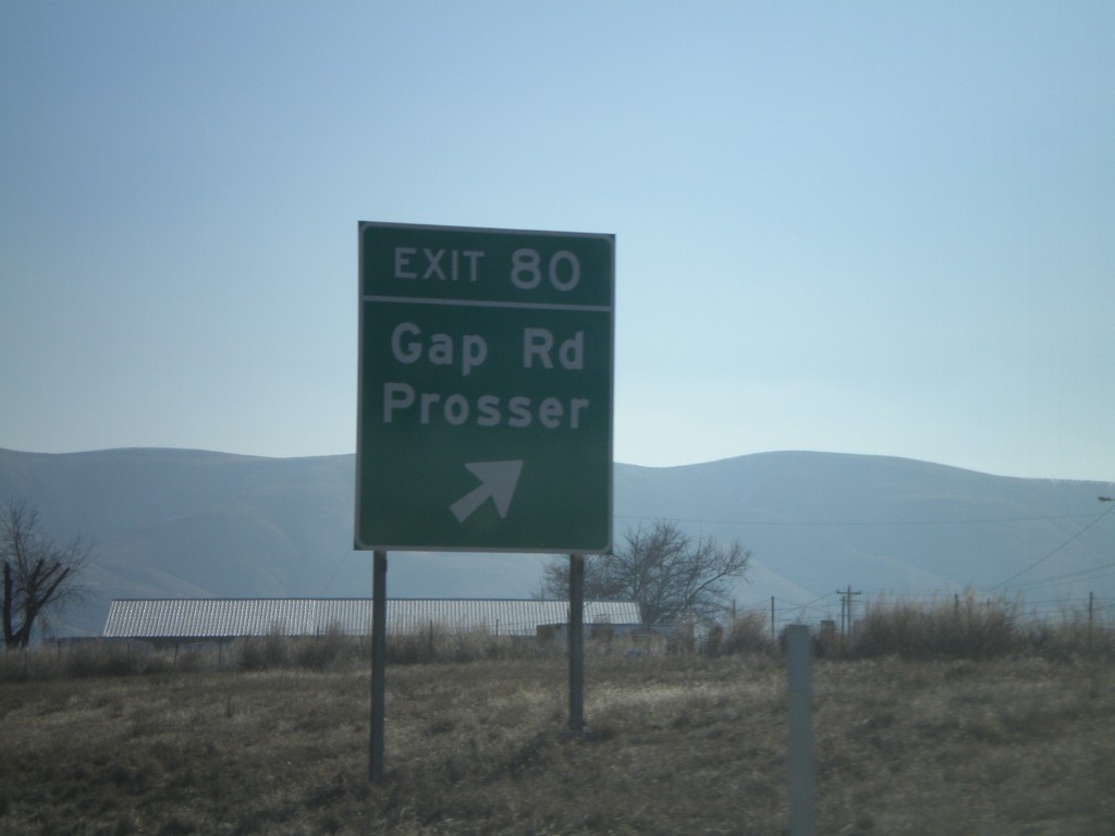
I-82 East - Exit 80
I-82 east at Exit 80 - Gap Road/Prosser.
Taken 01-22-2008
Prosser
Benton County
Washington
United States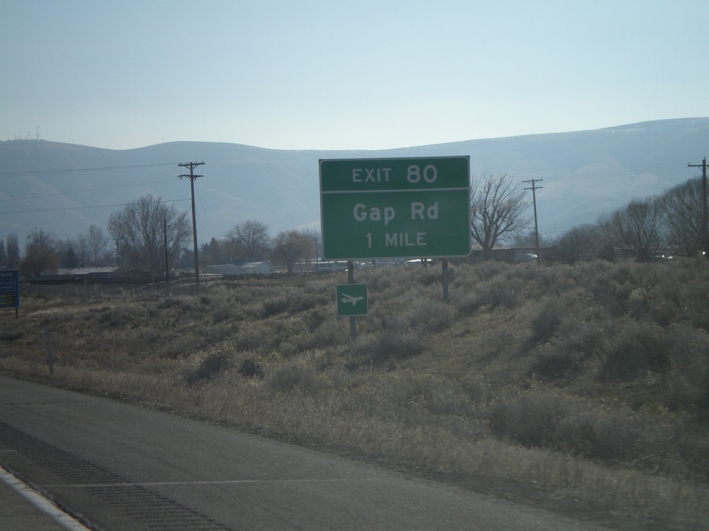
I-82 East - Exit 80
I-82 east approaching Exit 80 - Gap Road.
Taken 01-22-2008
Prosser
Benton County
Washington
United States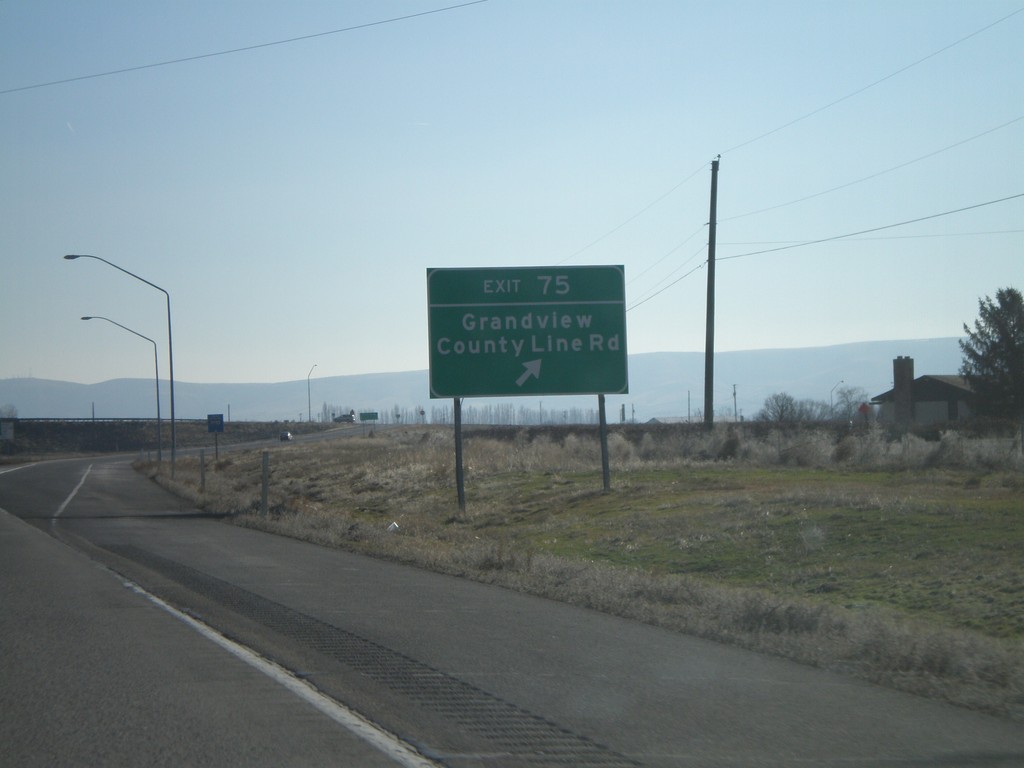
I-82 East - Exit 75
I-82 east at Exit 75 - Grandview/County Line Road.
Taken 01-22-2008
Grandview
Yakima County
Washington
United States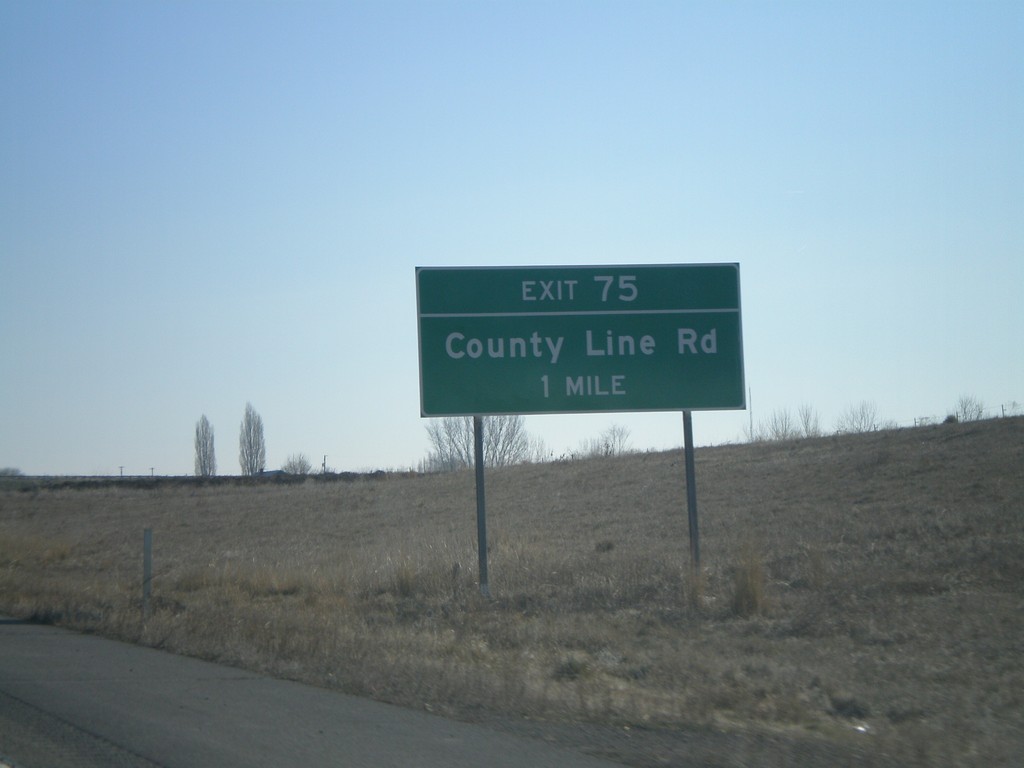
I-82 East - Exit 75
I-82 east approaching Exit 75 - County Line Road.
Taken 01-22-2008
Grandview
Yakima County
Washington
United States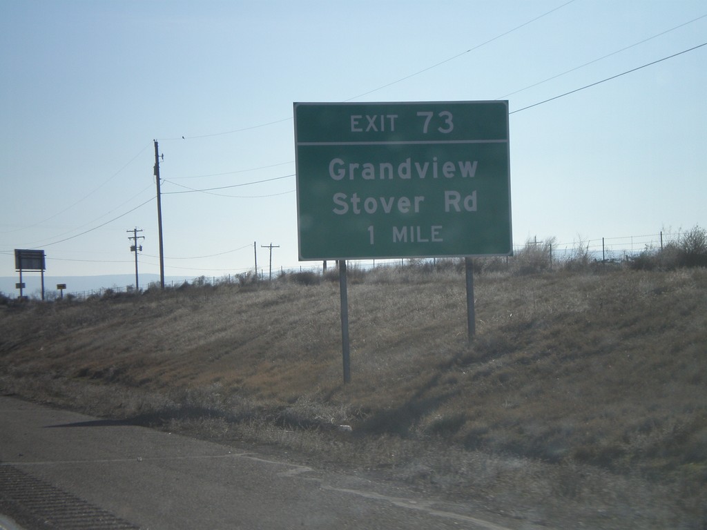
I-82 East - Exit 73
I-82 east approaching Exit 73 - Grandview/Stover Road.
Taken 01-22-2008
Grandview
Yakima County
Washington
United States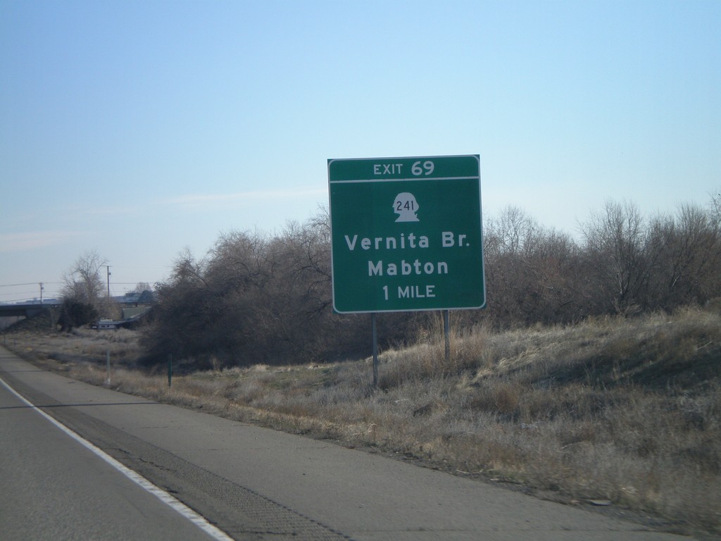
I-82 East Exit 69
I-82 east approaching Exit 69 - WA-241/Vernita Bridge/Mabton.
Taken 01-22-2008
 Sunnyside
Yakima County
Washington
United States
Sunnyside
Yakima County
Washington
United States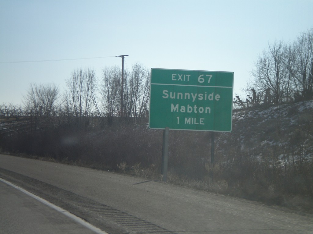
I-82 East - Exit 67
I-82 east approaching Exit 67 - Sunnyside/Mabton.
Taken 01-22-2008
Sunnyside
Yakima County
Washington
United States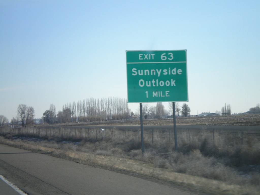
I-82 East - Exit 63
I-82 east approaching Exit 63 - Sunnyside/Outlook.
Taken 01-22-2008
Outlook
Yakima County
Washington
United States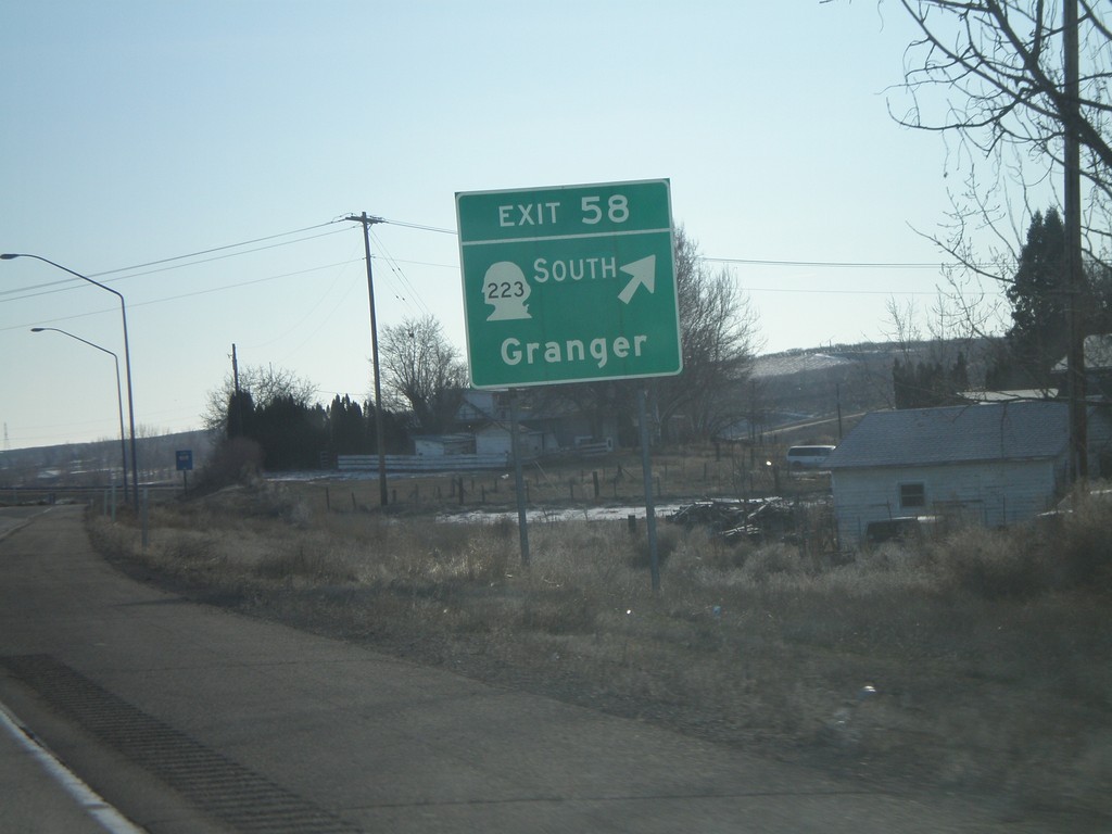
I-82 East - Exit 58
I-82 east at Exit 58 - WA-223 South/Granger.
Taken 01-22-2008
 Granger
Yakima County
Washington
United States
Granger
Yakima County
Washington
United States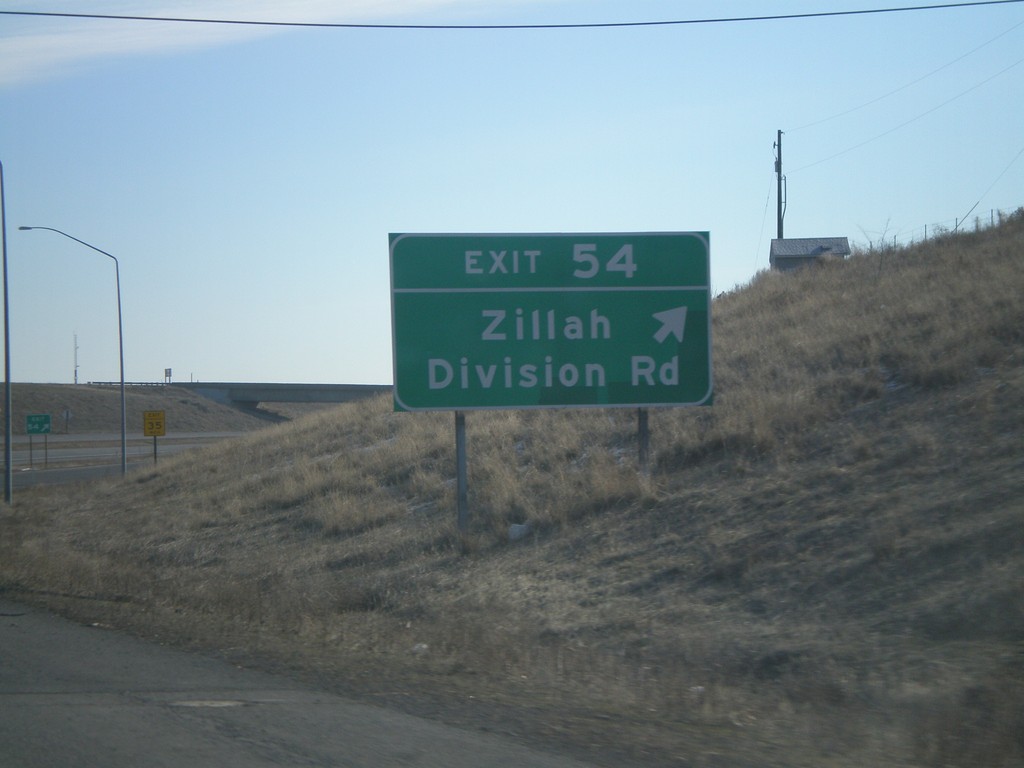
I-82 East - Exit 54
I-82 east at Exit 54 - Zillah/Division Road.
Taken 01-22-2008
Zillah
Yakima County
Washington
United States