Signs Tagged With Intersection
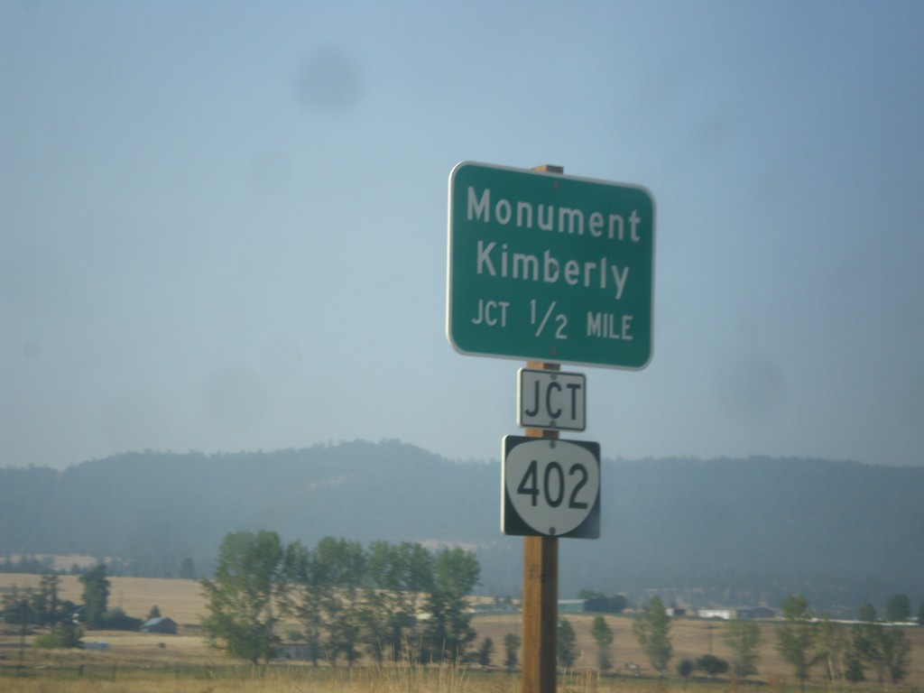
US-395 South Approaching OR-402
US-395 South approaching OR-402 in Long Creek. Use OR-402 west for Monument and Kimberly.
Taken 09-09-2017

 Long Creek
Grant County
Oregon
United States
Long Creek
Grant County
Oregon
United States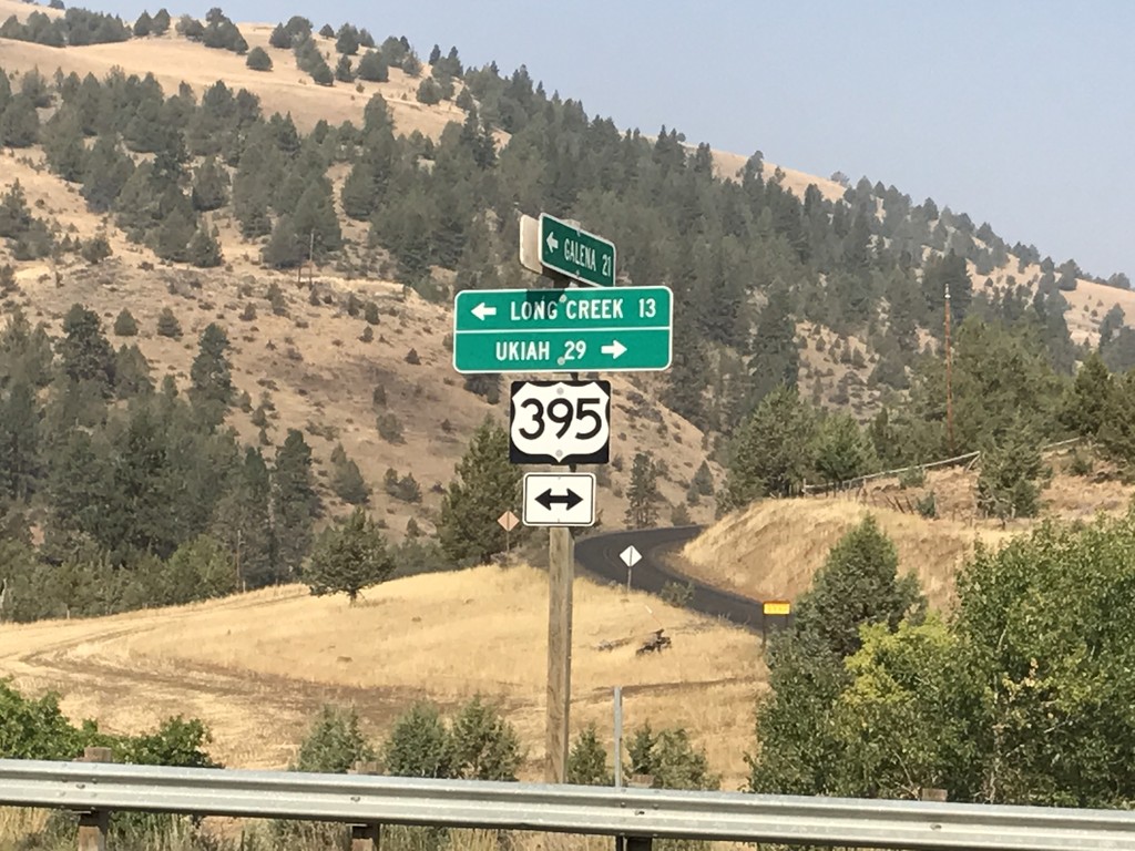
Middle Fork John Day River Road at US-395
Middle Fork John Day River Road at US-395 in Grant County. Turn left for US-395 south to Long Creek; left for US-395 north to Ukiah.
Taken 09-09-2017
Long Creek
Grant County
Oregon
United States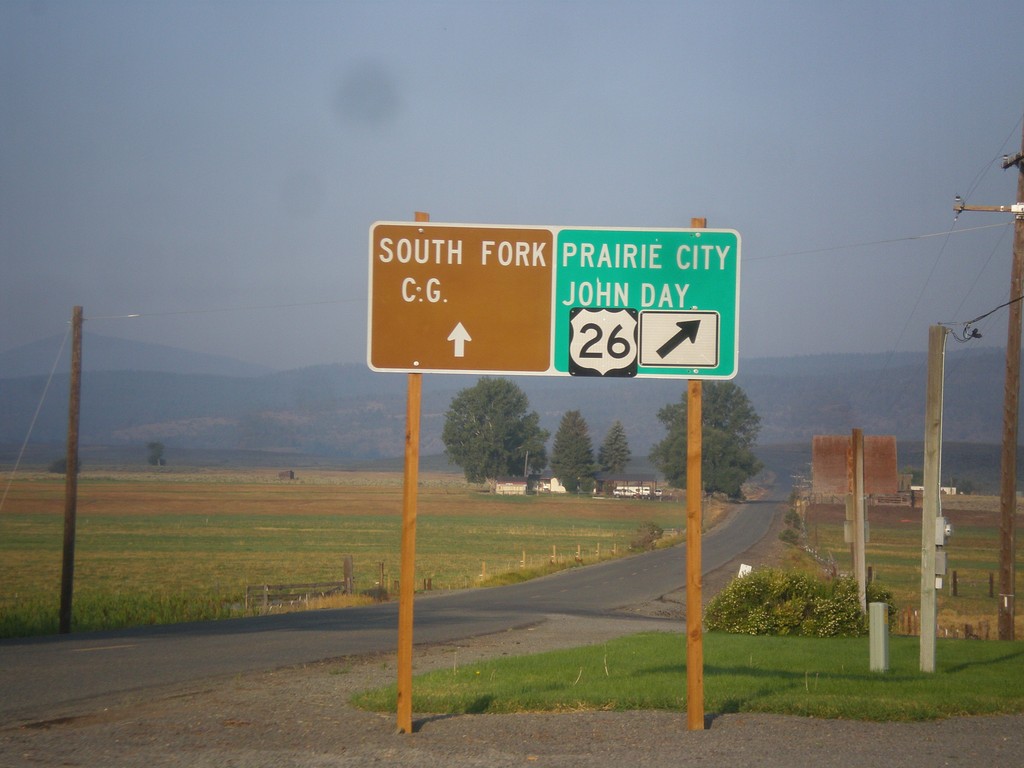
US-26 West - Burnt River Lane
US-26 West at Burnt River Lane in Unity. Merge left for South Fork (Burnt River) Campground. Merge right for US-26 west to Prairie City and John Day.
Taken 09-09-2017
 Unity
Baker County
Oregon
United States
Unity
Baker County
Oregon
United States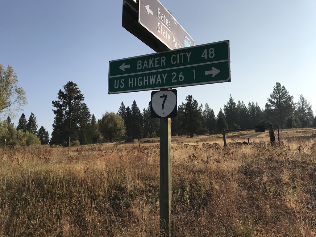
End Middle Fork John Day River Road at OR-7
End Middle Fork John Day River Road at OR-7 in Grant County. Use OR-7 west for US-26 Jct; OR-7 east for Baker City.
Taken 09-09-2017
 Austin
Grant County
Oregon
United States
Austin
Grant County
Oregon
United States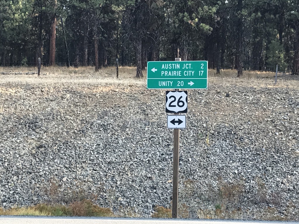
Forest Service Road at US-26
Forest Service Road at US-26 in Grant County. Turn right for US-26 east to Unity; left for US-26 west to Austin Jct. and Prairie City.
Taken 09-09-2017
Austin
Grant County
Oregon
United States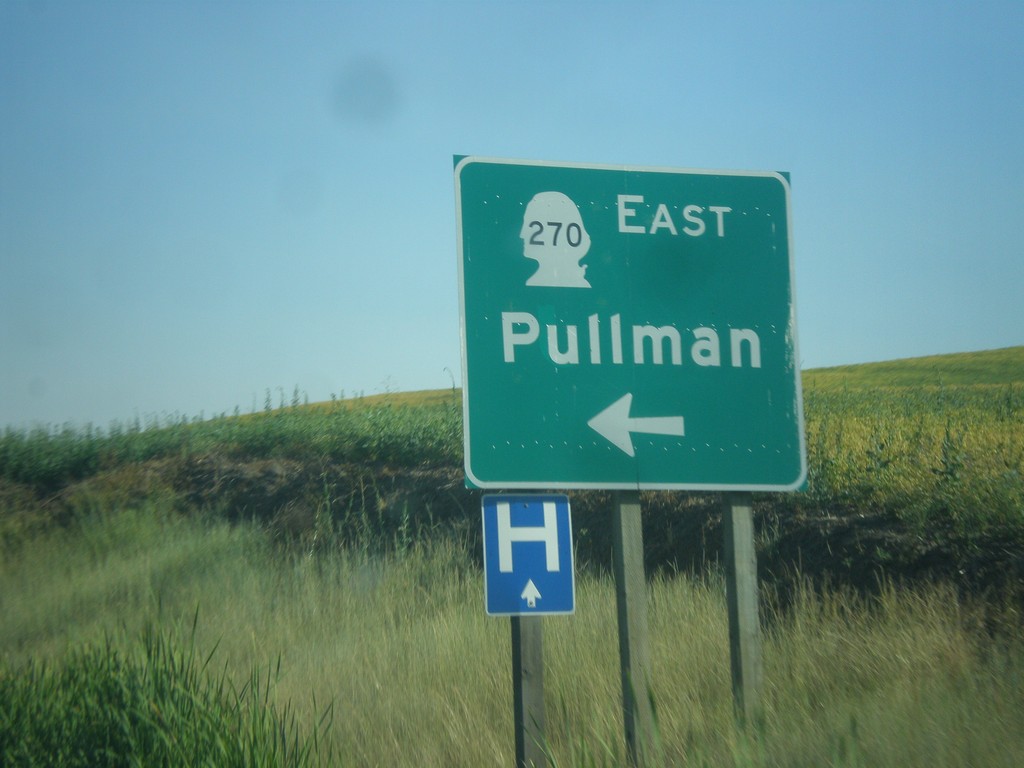
US-195 South at WA-270 East
US-195 south at WA-270 east to Pullman.
Taken 07-29-2017

 Pullman
Whitman County
Washington
United States
Pullman
Whitman County
Washington
United States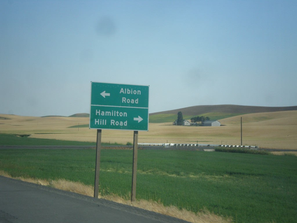
US-195 South - Albion Road/Hamilton Hill Road
US-195 South at Albion Road/Hamilton Hill Road interchange.
Taken 07-29-2017
Albion
Whitman County
Washington
United States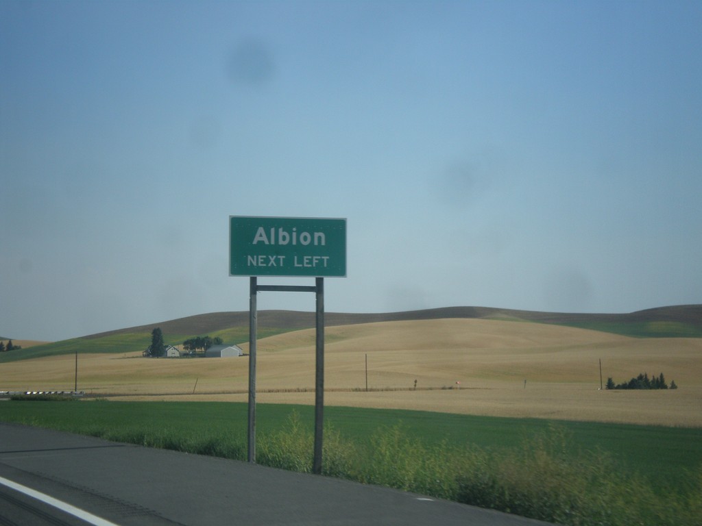
US-195 South - Albion Jct.
US-195 south approaching Albion jct.
Taken 07-29-2017
Albion
Whitman County
Washington
United States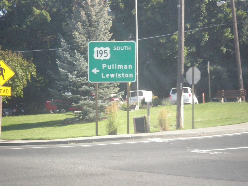
US-195 South - Colfax
US-195 south (Main St.) at James St. Southbound traffic veer left on James St. towards Pullman and Lewiston (Idaho).
Taken 07-29-2017
Colfax
Whitman County
Washington
United States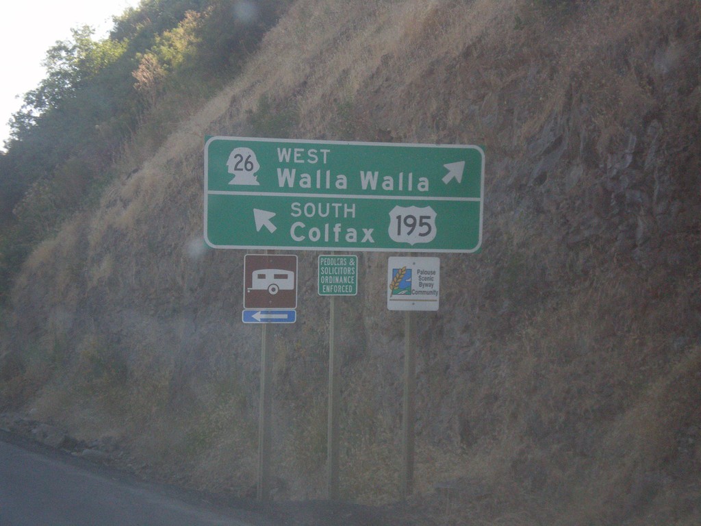
US-195 South at WA-26 West
US-195 south at WA-26 West to Walla Walla. Continue south on US-195 south for Colfax.
Taken 07-29-2017
 Colfax
Whitman County
Washington
United States
Colfax
Whitman County
Washington
United States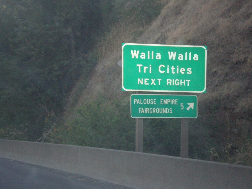
US-195 South Approaching WA-26
US-195 south approaching WA-26 west. Use WA-26 for Walla Walla and the Tri Cities. Also use WA-26 for the Palouse Empire Fairgrounds.
Taken 07-29-2017
Colfax
Whitman County
Washington
United States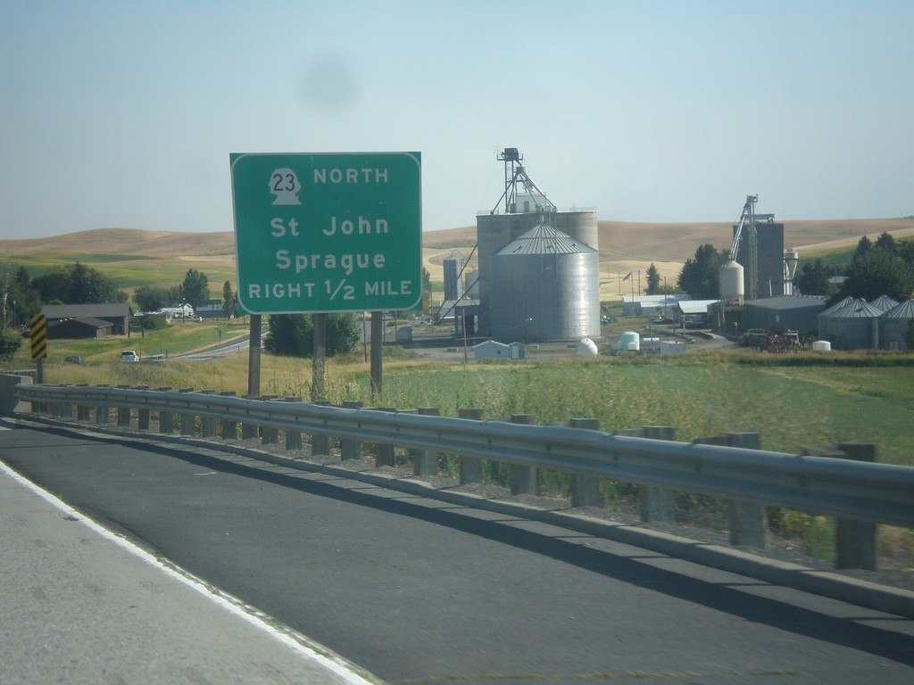
US-195 South Approaching WA-23 Jct.
US-195 South approaching WA-23 North/St. John/Sprague junction.
Taken 07-29-2017
 Colfax
Whitman County
Washington
United States
Colfax
Whitman County
Washington
United States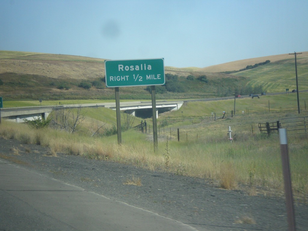
US-195 South - Rosalia
US-195 South approaching Rosalia junction.
Taken 07-29-2017
Rosalia
Spokane County
Washington
United States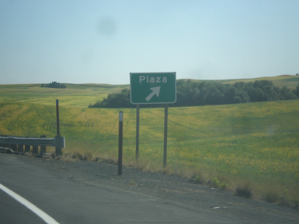
US-195 South - Plaza Interchange
US-195 South at Plaza interchange.
Taken 07-29-2017
Plaza
Spokane County
Washington
United States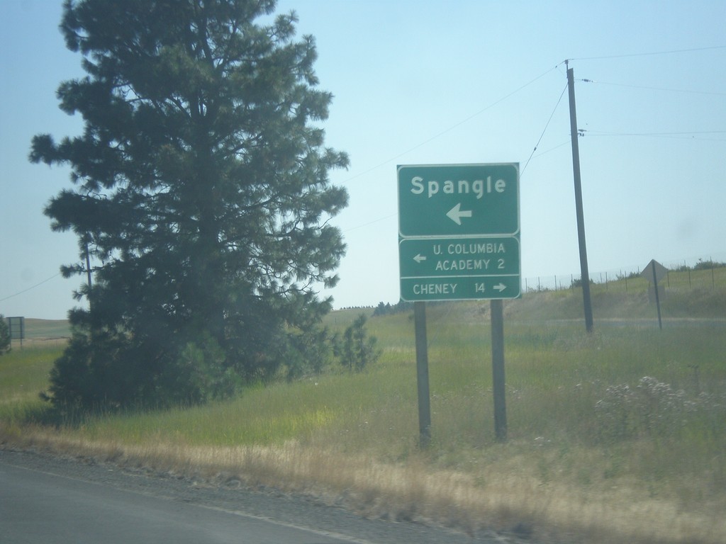
US-195 South - Spangle
US-195 South at Spangle junction. Turn left for Spangle and Upper Columbia Academy. Turn right to Cheney.
Taken 07-29-2017
Spangle
Spokane County
Washington
United States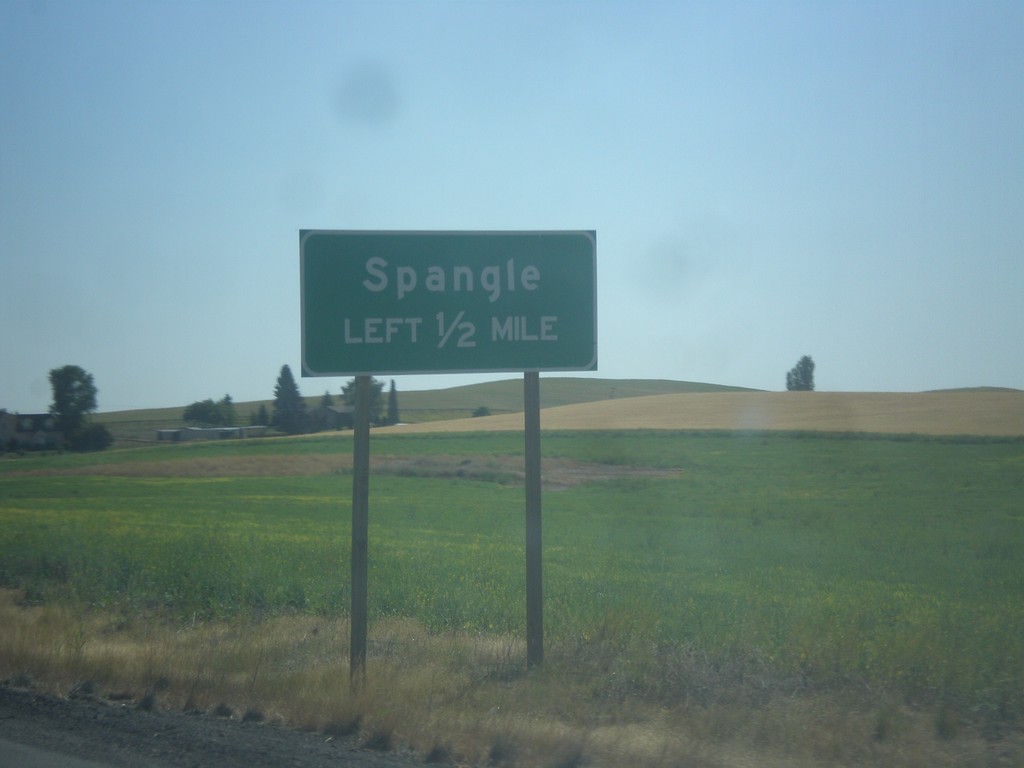
US-195 South - Spangle
US-195 South approaching Spangle junction.
Taken 07-29-2017
Spangle
Spokane County
Washington
United States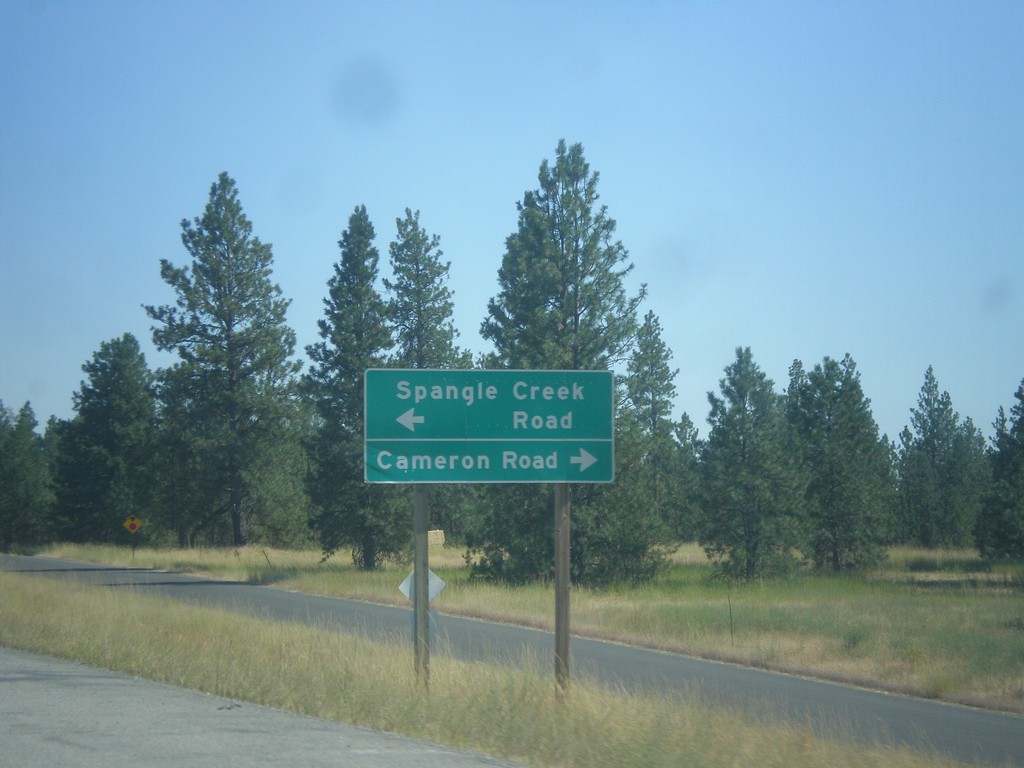
US-195 South - Spangle Creek Road/Cameron Road Jct.
US-195 South at Spangle Creek Road/Cameron Road near Spangle.
Taken 07-29-2017
Spangle
Spokane County
Washington
United States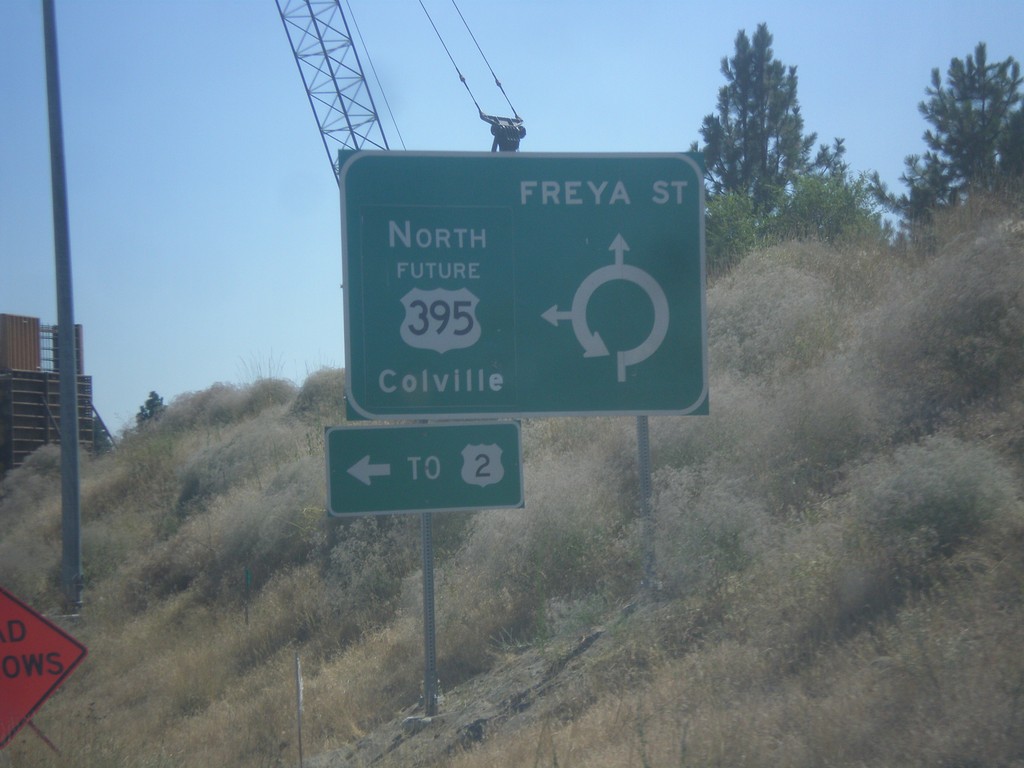
Freya St. South at Future US-395 North
Freya St. South at Future US-395 North. Use Future US-395 north for Colville and US-2.
Taken 07-29-2017

 Spokane
 County
Washington
United States
Spokane
Spokane County
Washington
United States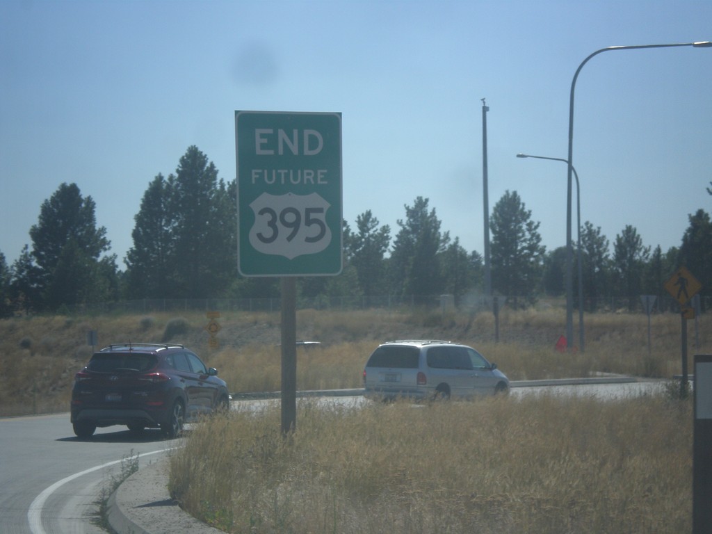
End Future US-395 South
End Future US-395 South at Freya St.
Taken 07-29-2017
Spokane
Spokane County
Washington
United States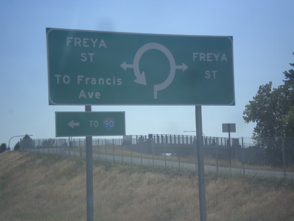
End Future US-395 South Approaching Freya St.
End Future US-395 South approaching Freya St. roundabout.
Taken 07-29-2017
Spokane
Spokane County
Washington
United States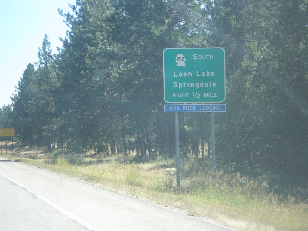
US-395 South Approaching WA-292
US-395 South approaching WA-292 to Springdale and Loon Lake.
Taken 07-29-2017
 Loon Lake
Stevens County
Washington
United States
Loon Lake
Stevens County
Washington
United States
US-395 South Approaching WA-231
US-395 South approaching WA-231 to Valley and Springdale.
Taken 07-29-2017
 Chewelah
Stevens County
Washington
United States
Chewelah
Stevens County
Washington
United States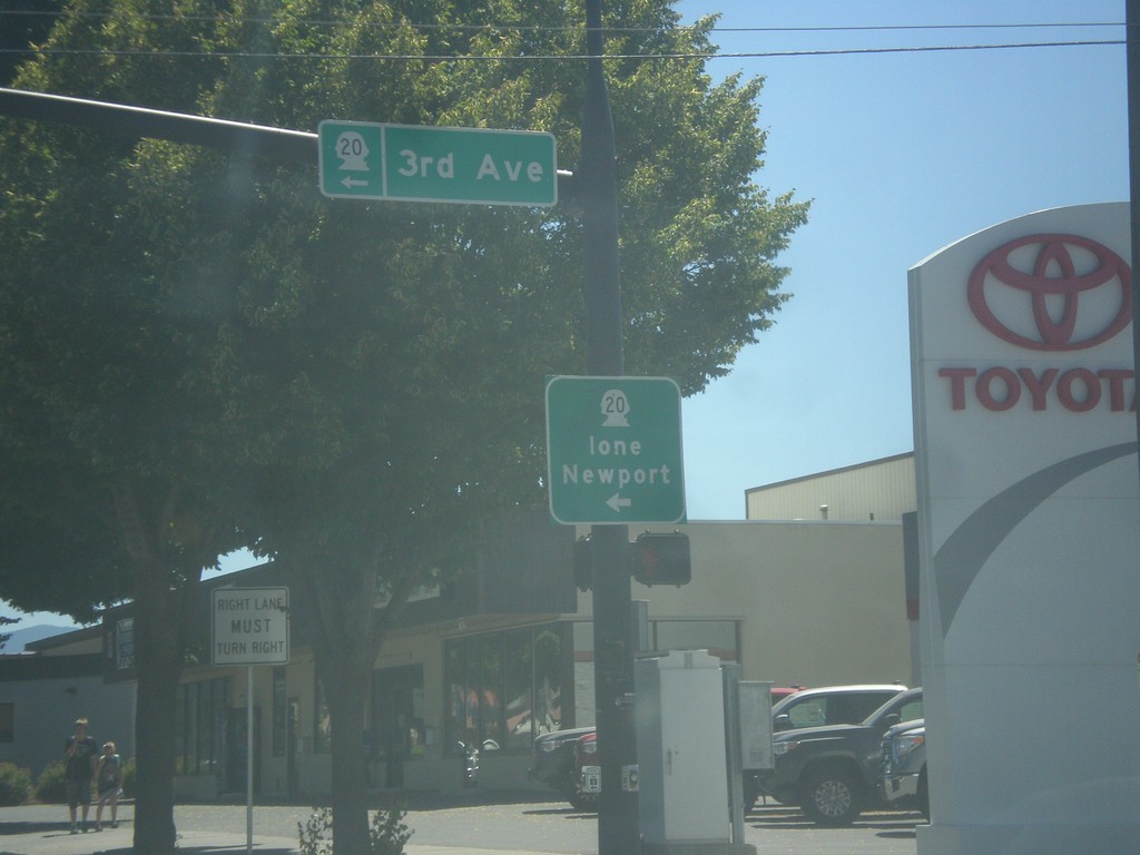
US-395 South/WA-20 East at US-395/WA-20 Split
US-395 South/WA-20 East at US-395/WA-20 Split in Colville. Turn left for WA-20 East (3rd Ave.) to Ione and Newport.
Taken 07-29-2017
 Colville
Stevens County
Washington
United States
Colville
Stevens County
Washington
United States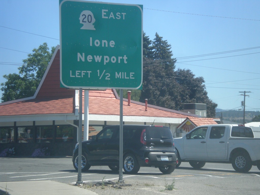
US-395 South/WA-20 East Approaching US-395/WA-20 Split
US-395 South/WA-20 East approaching US-395/WA-20 split. Use WA-20 East for Newport and Ione.
Taken 07-29-2017
Colville
Stevens County
Washington
United States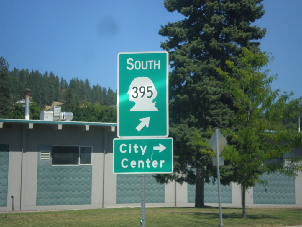
US-395 South/WA-20 East - Railroad St. Roundabout
US-395 South/WA-20 East - Railroad St. Roundabout in Colville. Merge right for Railroad St. south to (Colville) City Center. Merge left to continue on US-395 south, which is incorrectly signed as WA-395.
Taken 07-29-2017
Colville
Stevens County
Washington
United States