Signs Tagged With Intersection
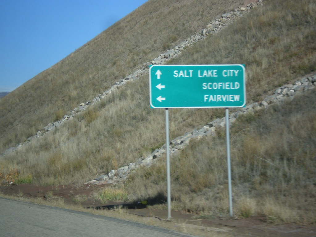
US-6 West Approaching UT-96
US-6 west approaching UT-96 to Scofield and Fairview. Continue west on US-6 for Salt Lake City.
Taken 10-20-2012

 Helper
Utah County
Utah
United States
Helper
Utah County
Utah
United States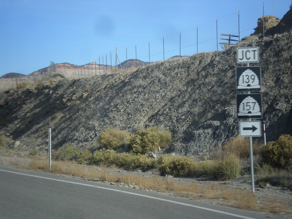
US-6 West/US-191 North at UT-139/UT-157
US-6 West/US-191 North at UT-139/UT-157. This is the southern end of the Helper business loop.
Taken 10-20-2012


 Helper
Carbon County
Utah
United States
Helper
Carbon County
Utah
United States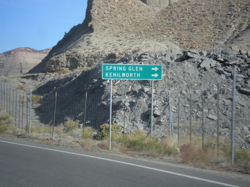
US-6 West/US-191 North - UT-157/US-139 Jct.
US-6 West/US-191 North approaching UT-157/UT-139 junction. Turn right on UT-157/US-139 for Spring Glen and Kneilworth.
Taken 10-20-2012
Helper
Carbon County
Utah
United States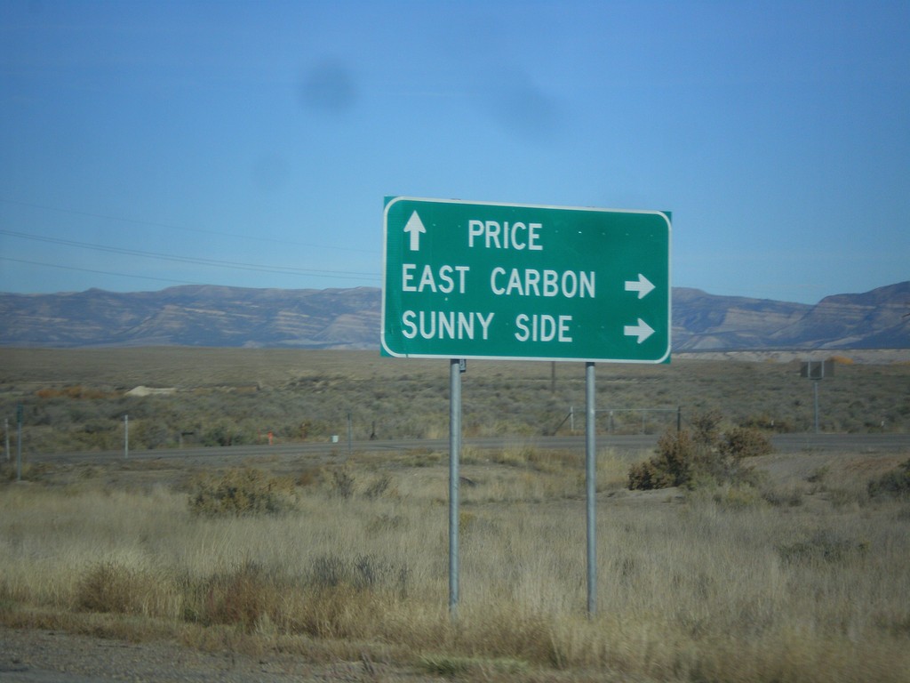
US-6 West/US-191 North Approaching UT-123
US-6 West/US-191 North approaching UT-123. Use UT-123 for East Carbon and Sunnyside. Continue on US-6 West/US-191 North for Price.
Taken 10-20-2012
 Price
Carbon County
Utah
United States
Price
Carbon County
Utah
United States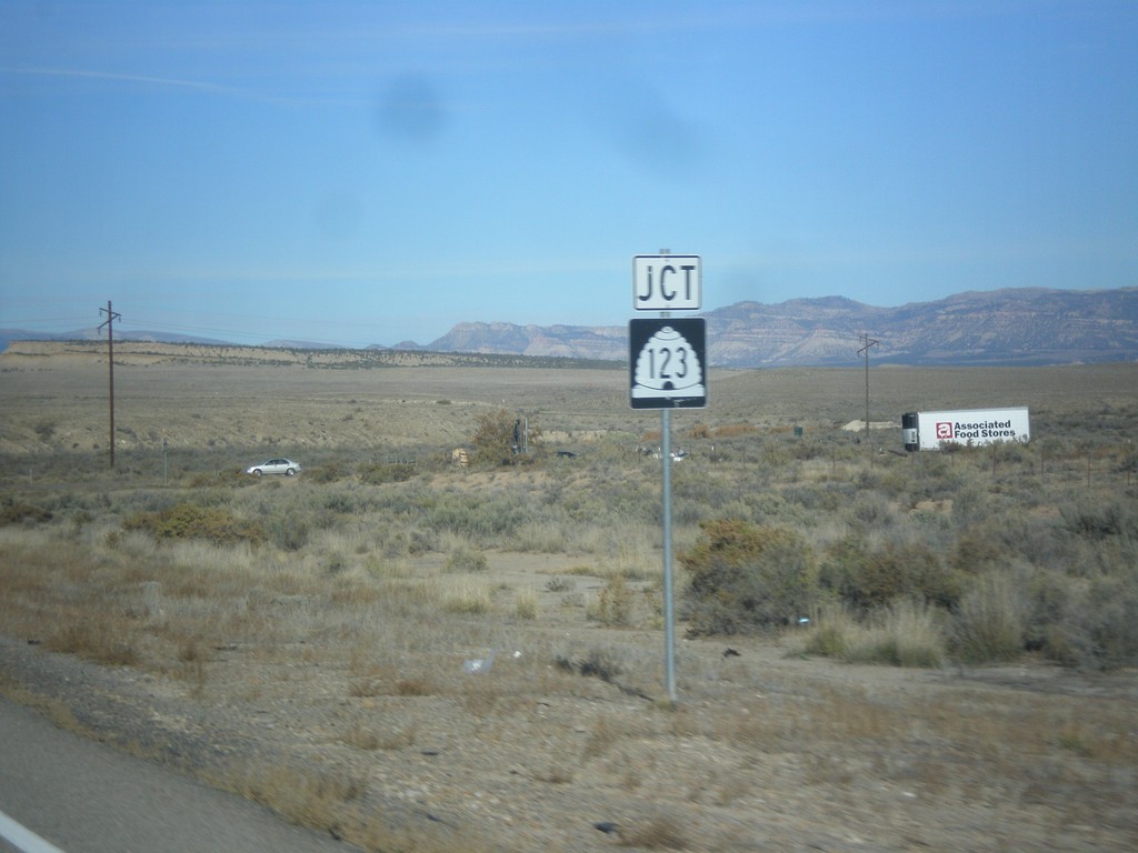
US-6 West/US-191 North Approaching UT-123
US-6 West/US-191 North approaching UT-123.
Taken 10-20-2012
Price
Carbon County
Utah
United States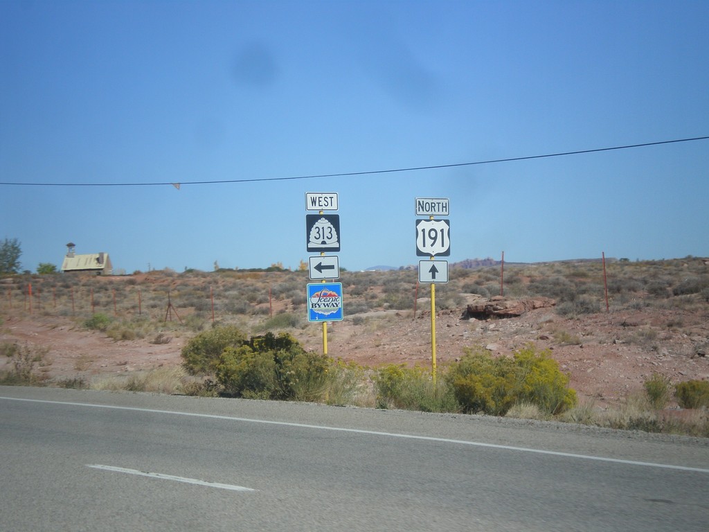
US-191 North at UT-313
US-191 North at UT-313. UT-313 is signed as a Utah Scenic Byway. UT-313 connects US-191 with Dead Horse Point State Park, and the Island in the Sky unit of Canyonlands.
Taken 10-17-2012
 Moab
Grand County
Utah
United States
Moab
Grand County
Utah
United States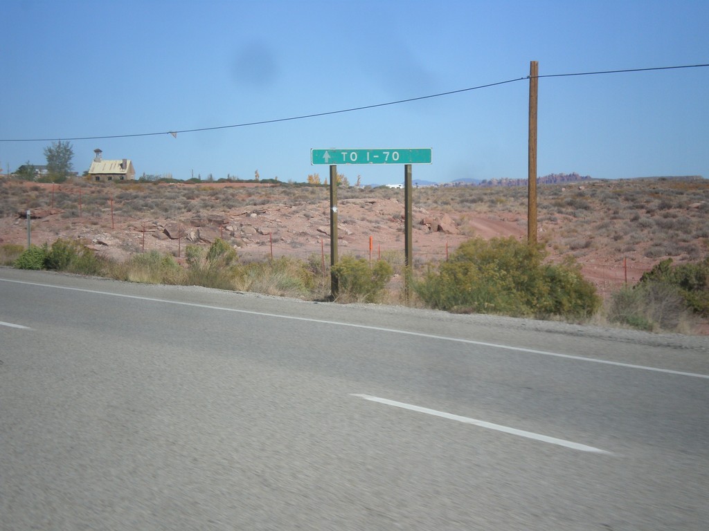
US-191 North Approaching UT-313
US-191 north approaching UT-313. Continue north on US-191 north for I-70.
Taken 10-17-2012
Moab
Grand County
Utah
United States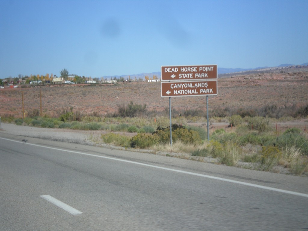
US-191 North Approaching UT-313
US-191 north approaching UT-313. Use UT-313 west for Dead Horse Point State Park, and Canyonlands National Park (Island In The Sky Unit).
Taken 10-17-2012
Moab
Grand County
Utah
United States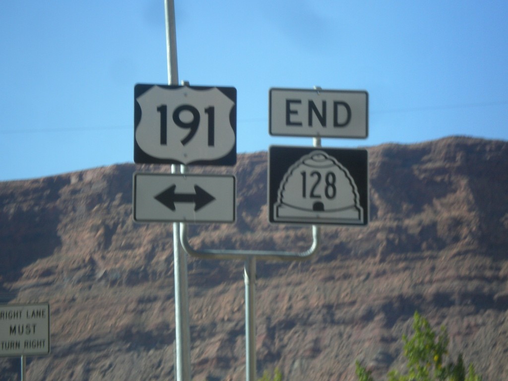
End UT-128 East at US-191
End UT-128 east at US-191 in Moab. This intersection has been replaced with a stoplight in recent years. UT-128 follows the south side of the Colorado River east from Moab towards Colorado.
Taken 10-17-2012
 Moab
Grand County
Utah
United States
Moab
Grand County
Utah
United States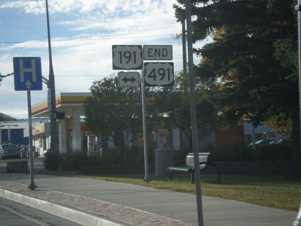
End US-491 North at US-191
End US-491 north at US-191 in Monticello. US-491 is former highway US-666, and runs from Gallup, New Mexico to Monticello, Utah. This is the northern terminus of US-491.
Taken 10-15-2012
 Monticello
San Juan County
Utah
United States
Monticello
San Juan County
Utah
United States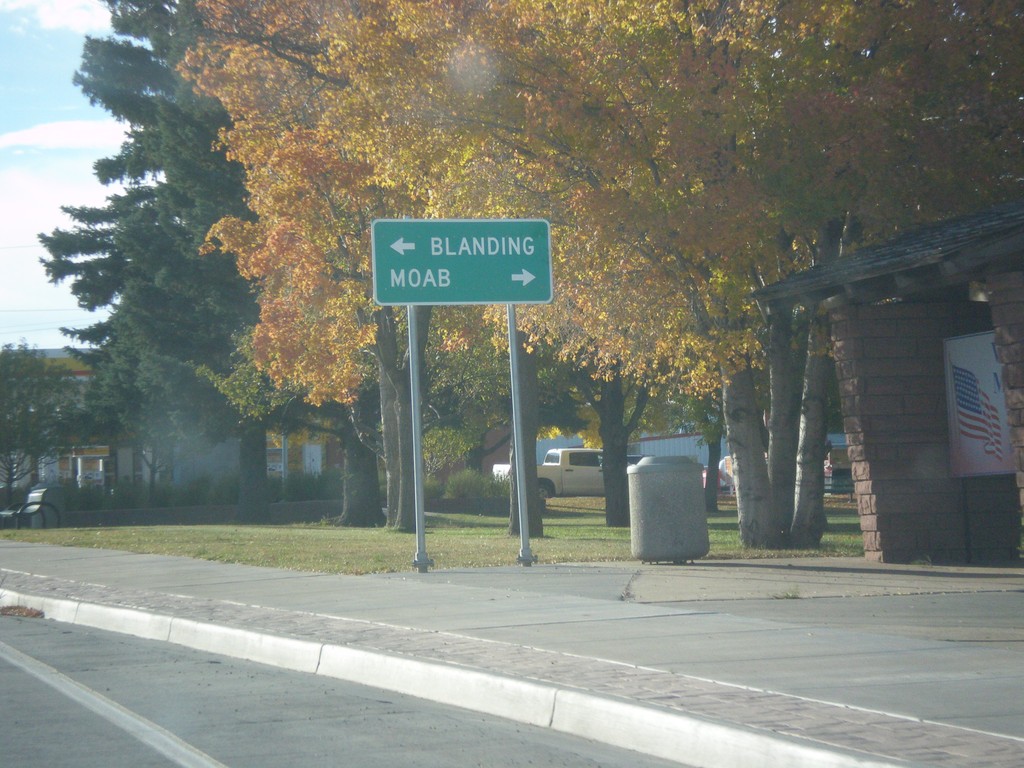
End US-491 at US-191
End US-491 at US-191. Use US-191 north for Moab; US-191 south for Blanding.
Taken 10-15-2012
Monticello
San Juan County
Utah
United States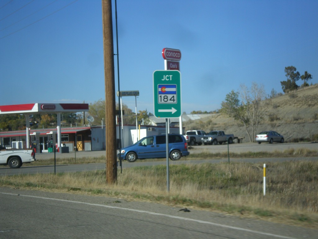
US-491 North at CO-184
US-491 North at CO-184 in Montezuma County.
Taken 10-15-2012
 Cortez
Montezuma County
Colorado
United States
Cortez
Montezuma County
Colorado
United States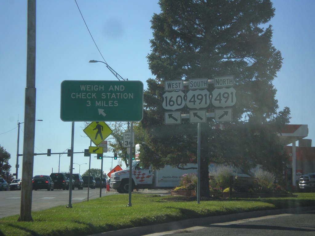
US-160 West at US-491
US-160 west at US-491. Merge right for US-491 north. Continue straight for US-491 South/US-160 West. US-491 South joins US-160 West. Use US-160 West/US-491 North for Weigh and Check Station.
Taken 10-15-2012
 Cortez
Montezuma County
Colorado
United States
Cortez
Montezuma County
Colorado
United States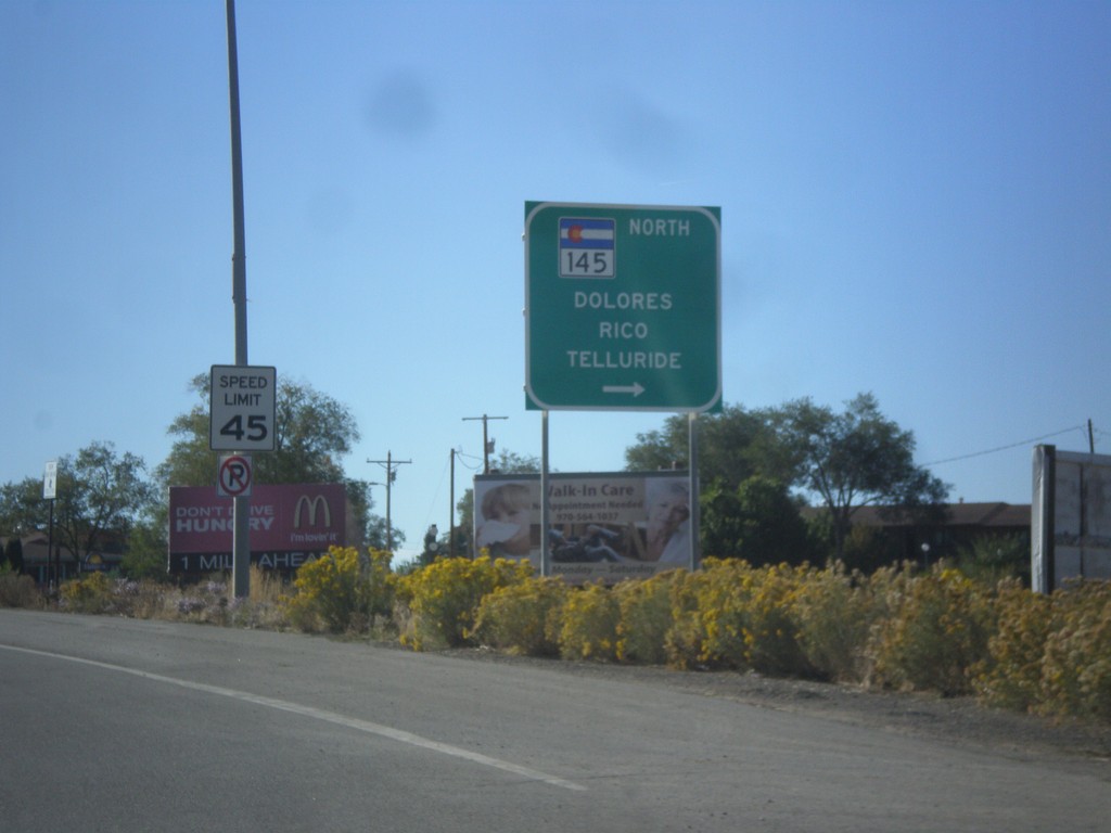
US-160 West at CO-145
US-160 west at CO-145 North to Dolores, Rico, and Telluride.
Taken 10-15-2012
 Cortez
Montezuma County
Colorado
United States
Cortez
Montezuma County
Colorado
United States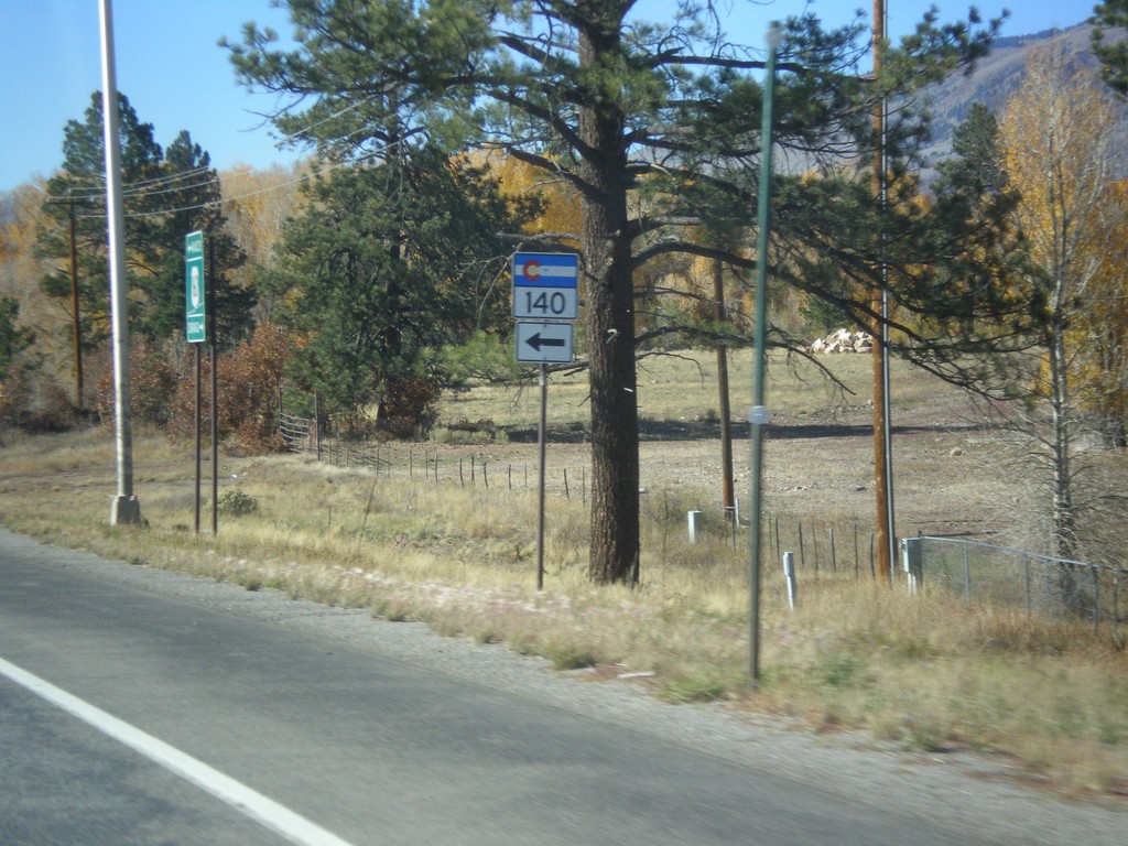
US-160 West at CO-140
US-160 west at CO-140 near Hesperus.
Taken 10-15-2012
 Hesperus
La Plata County
Colorado
United States
Hesperus
La Plata County
Colorado
United States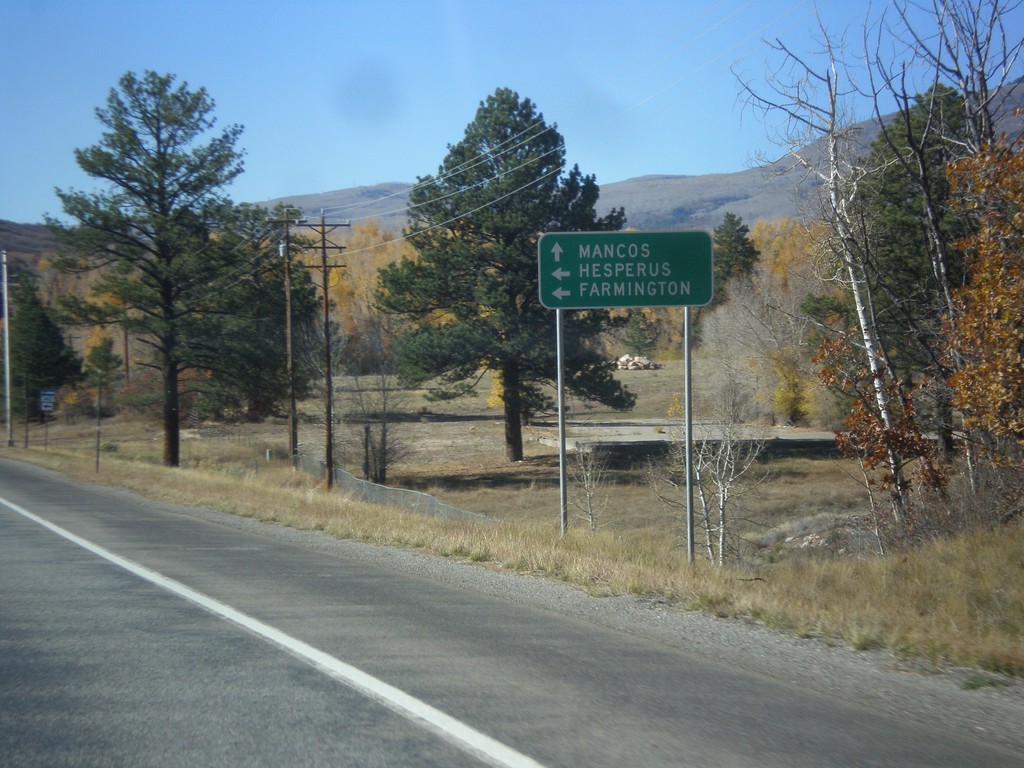
US-160 West Approaching CO-140
US-160 west approaching CO-140 south to Hesperus and Farmington (New Mexico). Continue west on US-160 for Mancos.
Taken 10-15-2012
Durango
La Plata County
Colorado
United States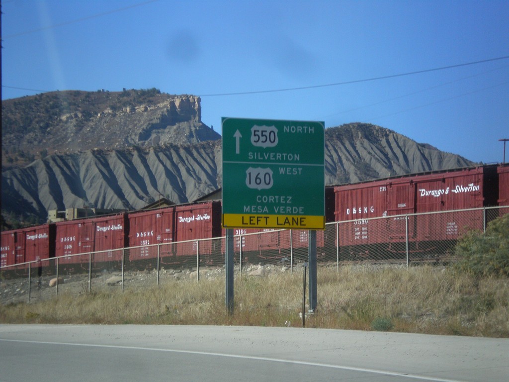
US-550 North/US-160 West at Split
US-550 North/US-160 West at US-550/US-160 split in Durango. Continue straight for US-550 north to Silverton. Turn left for US-160 west to Cortez and Mesa Verde (National Park).
Taken 10-15-2012
 Durango
La Plata County
Colorado
United States
Durango
La Plata County
Colorado
United States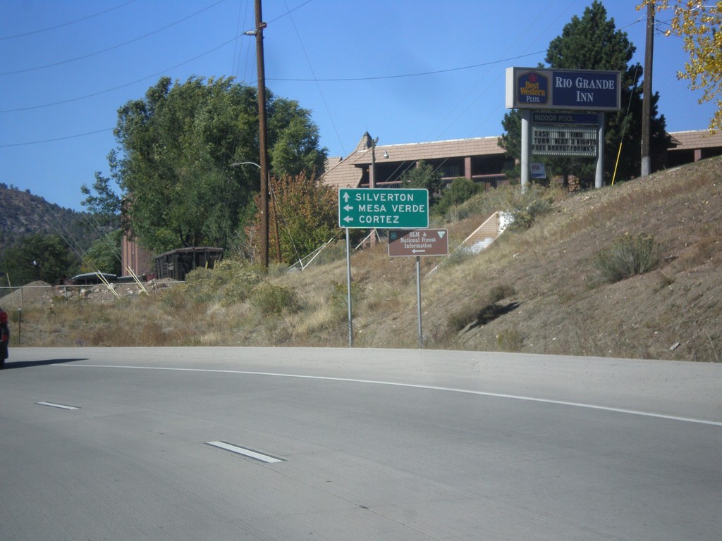
US-550 North/US-160 West Approaching US-160/US-550 Split
US-550 North/US-160 west approaching US-160/US-550 split. Continue north on US-550 for Silverton. Turn left on US-160 west for Cortez and Mesa Verde (National Park).
Taken 10-15-2012
Durango
La Plata County
Colorado
United States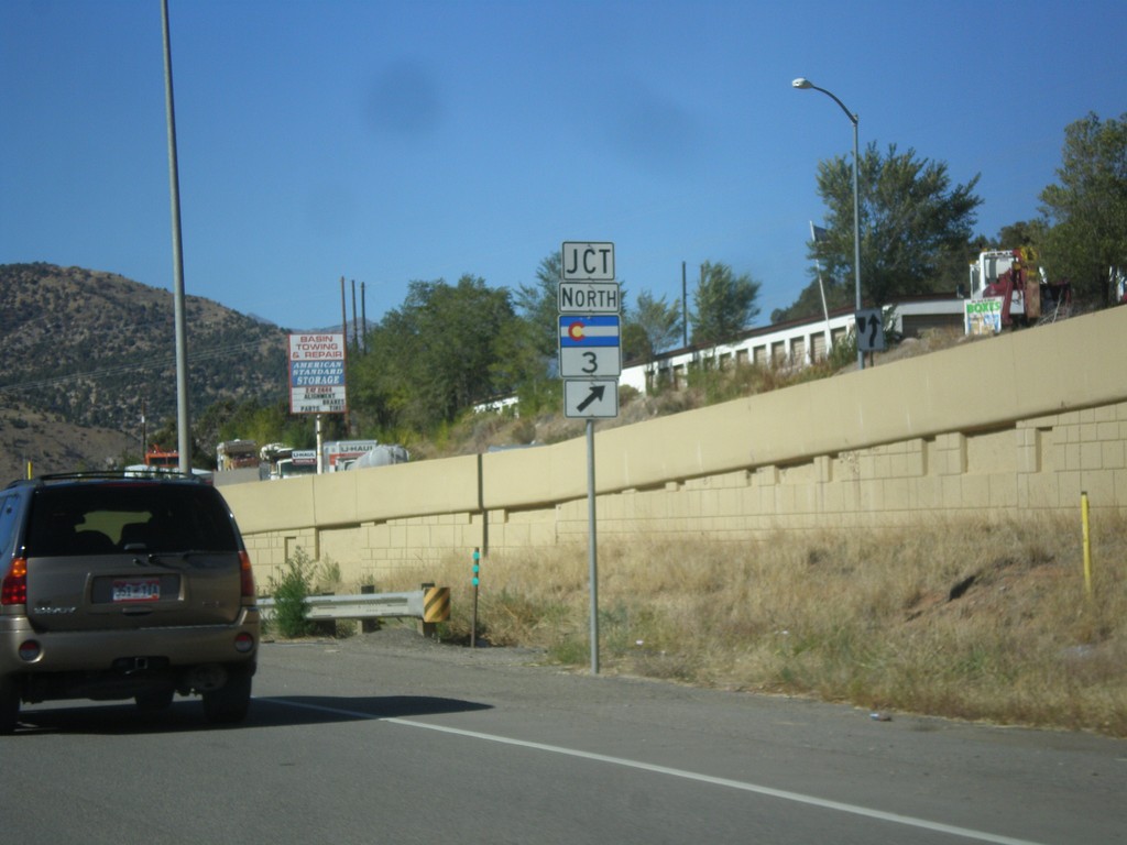
US-550 North/US-160 West at CO-3
US-550 North/US-160 West at CO-3 in Durango.
Taken 10-15-2012
 Durango
La Plata County
Colorado
United States
Durango
La Plata County
Colorado
United States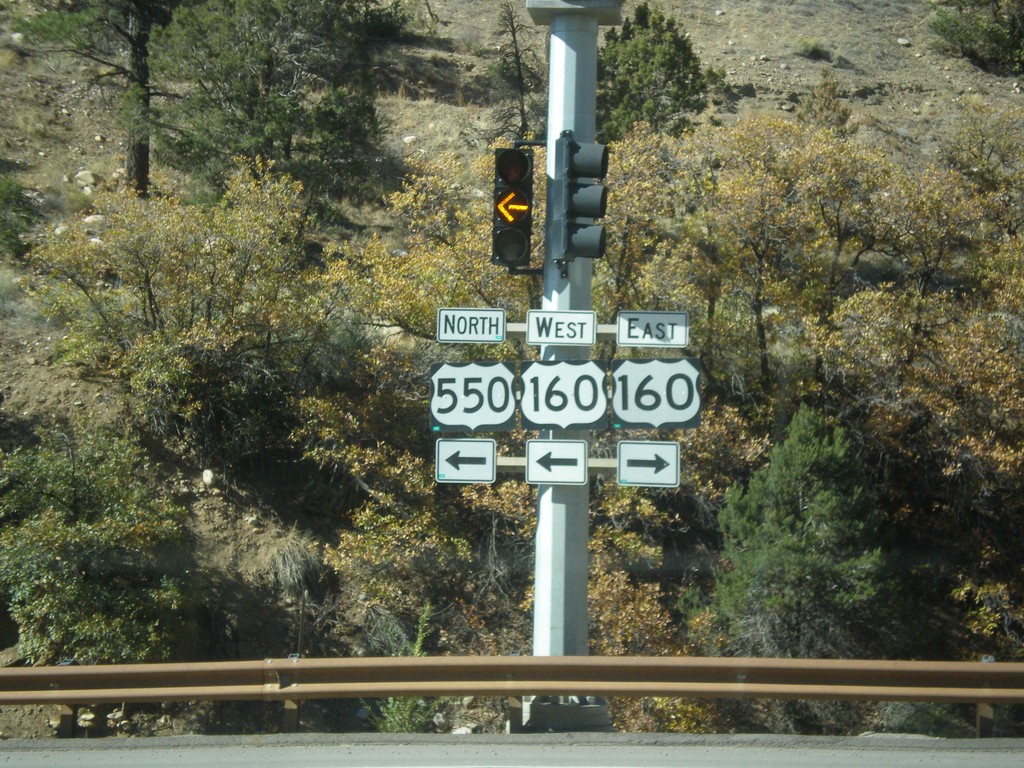
US-550 North at US-160
US-550 north at US-160. US-550 north joins US-160 west through Durango.
Taken 10-15-2012
Durango
La Plata County
Colorado
United States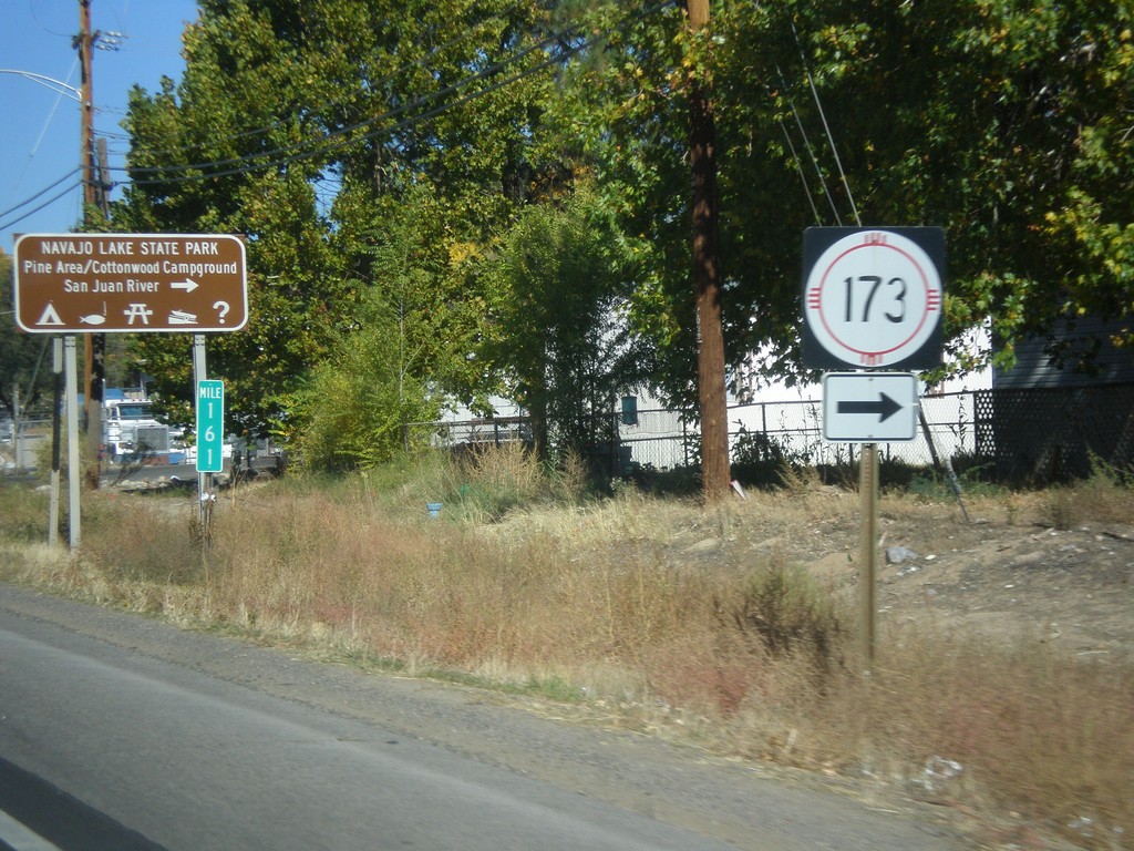
US-550 North at NM-173
US-550 north at NM-173 west to Navajo Lake State Park.
Taken 10-15-2012
 Aztec
San Juan County
New Mexico
United States
Aztec
San Juan County
New Mexico
United States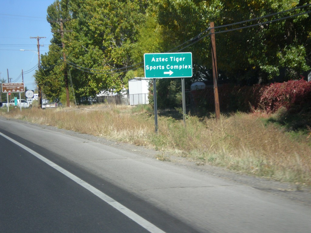
US-550 North Approaching NM-173
US-550 north approaching NM-173. Turn right on NM-173 for the Aztec Tiger Sports Complex.
Taken 10-15-2012
Aztec
San Juan County
New Mexico
United States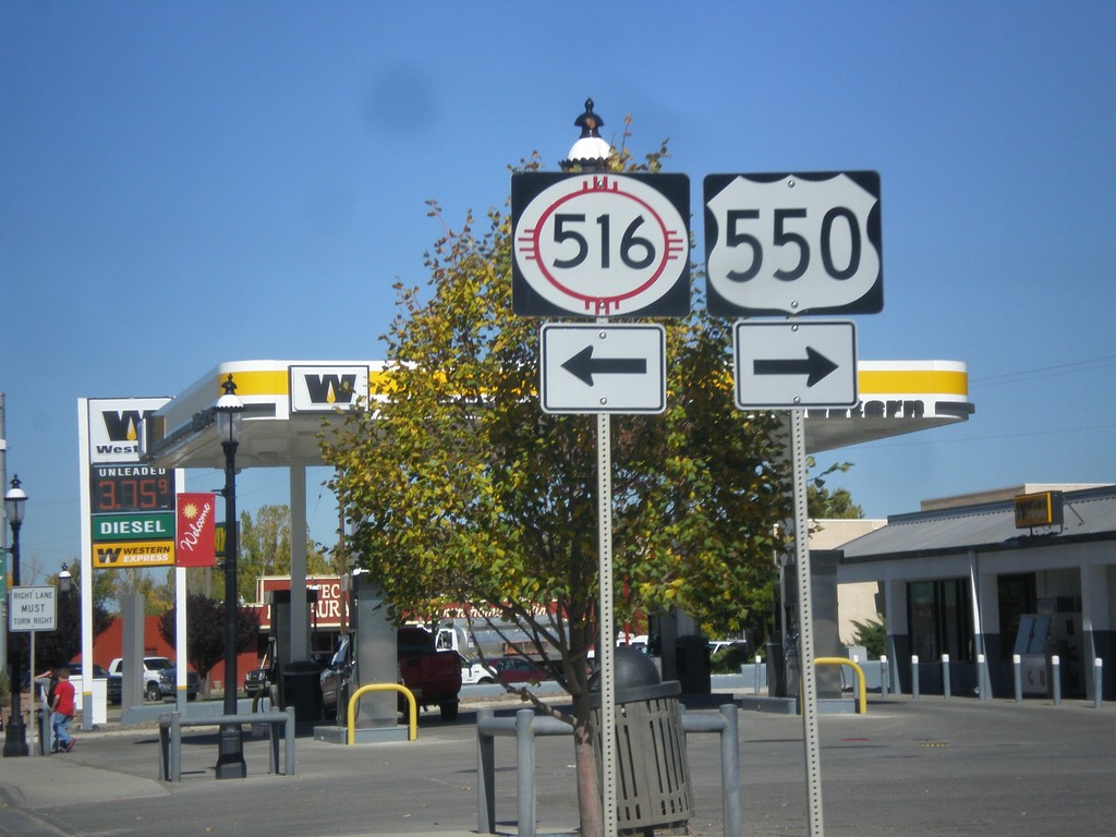
US-550 North at NM-516
US-550 north at NM-516 in Aztec. Turn right to continue north on US-550.
Taken 10-15-2012
 Aztec
San Juan County
New Mexico
United States
Aztec
San Juan County
New Mexico
United States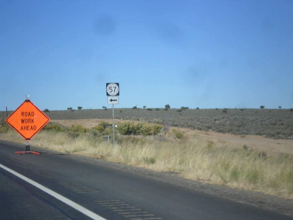
US-550 North at NM-57
US-550 north at NM-57. While many maps appear to show NM-57 as connecting US-550 to Chaco Canyon from the north, NM-57 does not provide access to Chaco Canyon.
Taken 10-15-2012
 Bloomfield
San Juan County
New Mexico
United States
Bloomfield
San Juan County
New Mexico
United States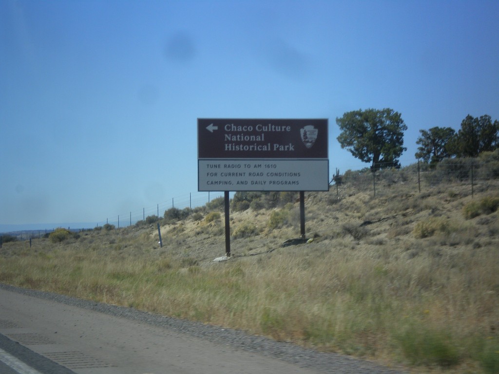
US-550 North - Chaco Canyon Jct.
US-550 north at turn off to Chaco Culture National Historic Park.
Taken 10-15-2012
Nageezi
San Juan County
New Mexico
United States