Signs Tagged With Intersection
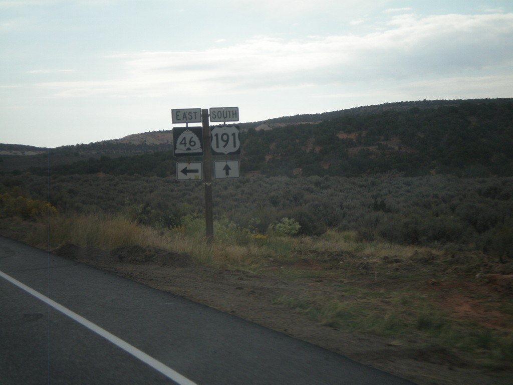
US-191 South at UT-46 East
US-191 South at UT-46 East at La Sal Junction.
Taken 10-02-2011

 La Sal
San Juan County
Utah
United States
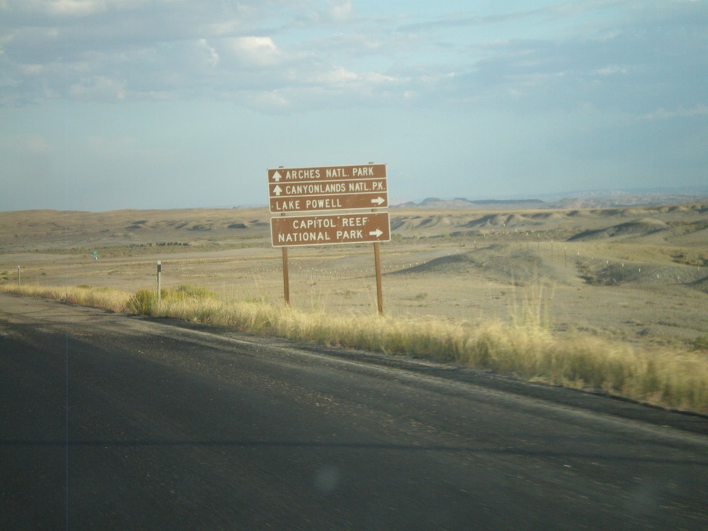
US-6 East/US-191 South Approaching I-70
Federal lands directions on US-6 East/US-191 South approaching I-70. Use I-70 west for Capitol Reef National Park and Lake Powell. Use I-70/US-6 East/US-191 South for Canyonlands National Park and Arches National Park.
Taken 10-01-2011


 Green River
Emery County
Utah
United States
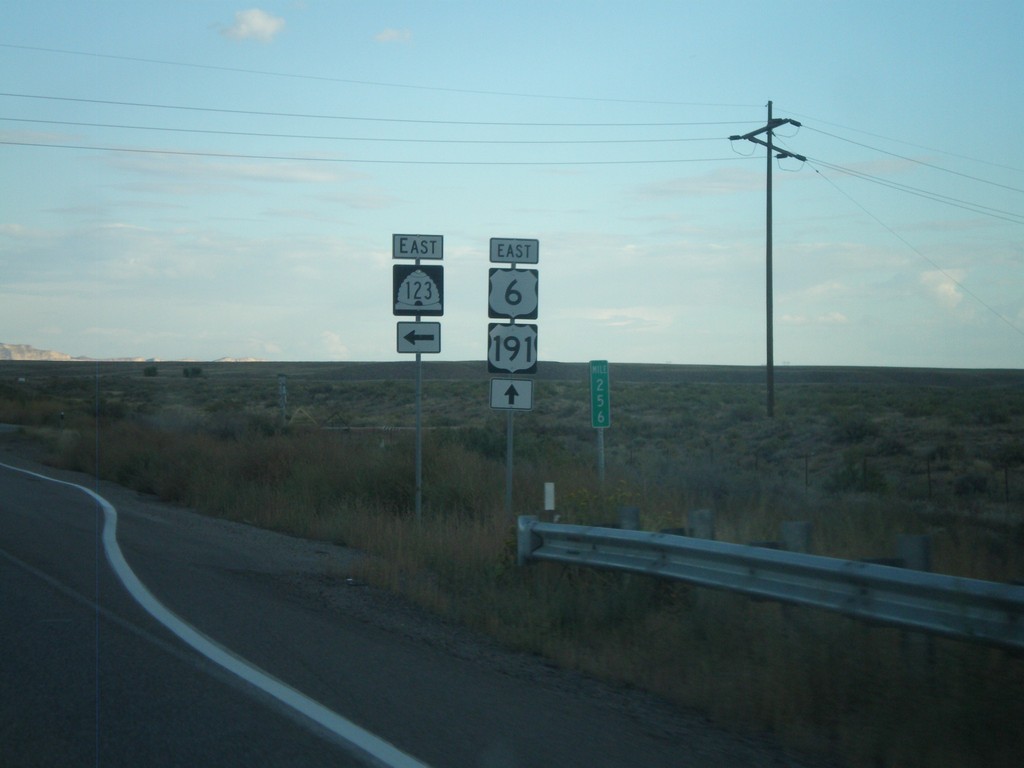
US-6 East/US-191 South at UT-123
US-6 East/US-191 South at UT-123 in Carbon County.
Taken 10-01-2011


 Price
Carbon County
Utah
United States
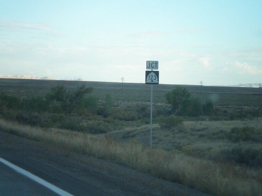
US-6 East/US-191 South Approaching UT-123
US-6 East/US-191 South approaching UT-123 in Carbon County.
Taken 10-01-2011


 Price
Carbon County
Utah
United States
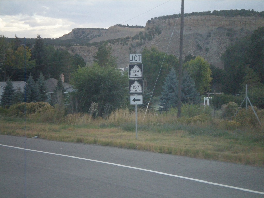
US-6 East/US-191 South at UT-139/UT-157
US-6 East/US-191 South at UT-139/UT-157 junction in Helper. This is the south entrance into Helper from US-6/US-191.
Taken 10-01-2011


 Helper
Carbon County
Utah
United States
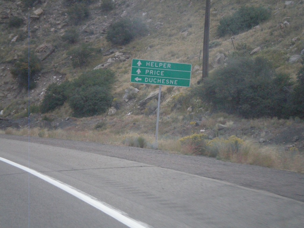
US-6 East at US-191
US-6 East at US-191 junction. Turn left for US-191 north to Duchesne. Continue ahead for US-6 East/US-191 South towards Helper and Price. US-191 joins US-6 east to the junction with I-70 near Green River. Thence from there US-191 follows I-70 and US-6 east to Crescent Junction.
Taken 10-01-2011

 Helper
Carbon County
Utah
United States
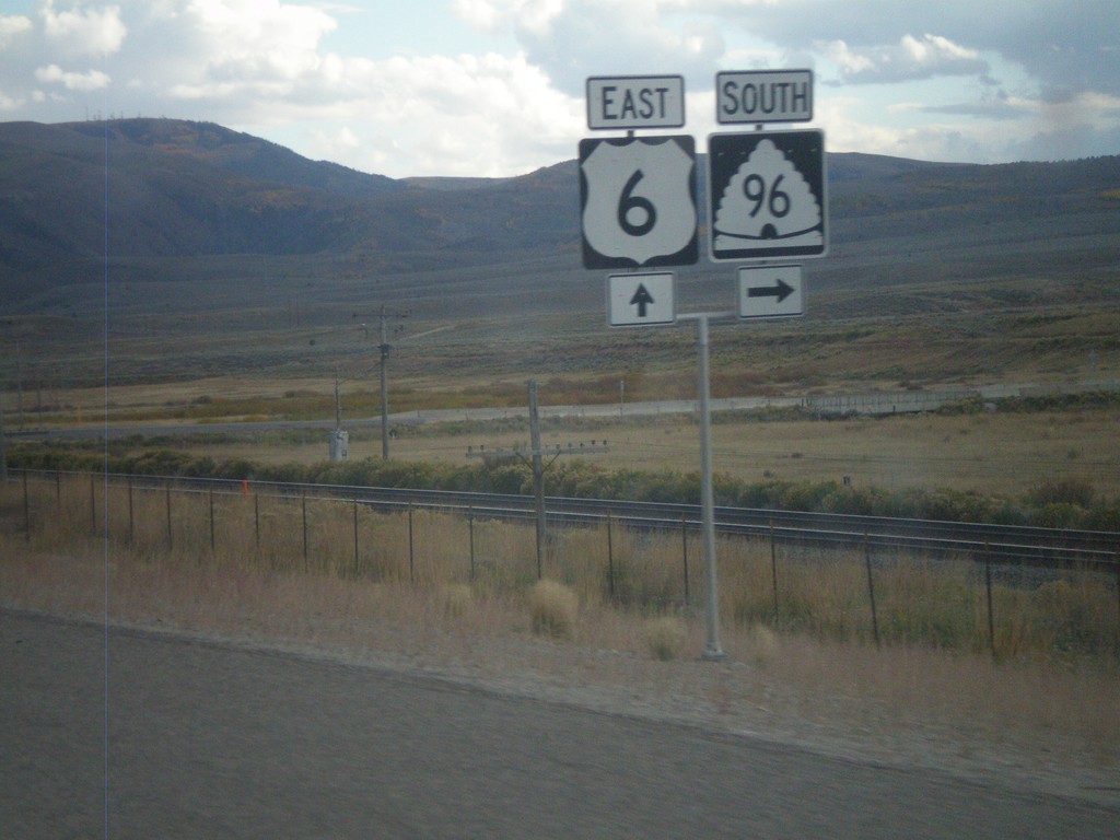
US-6 East at UT-96
US-6 East at UT-96 south in rural Utah County.
Taken 10-01-2011

 Colton
Utah County
Utah
United States
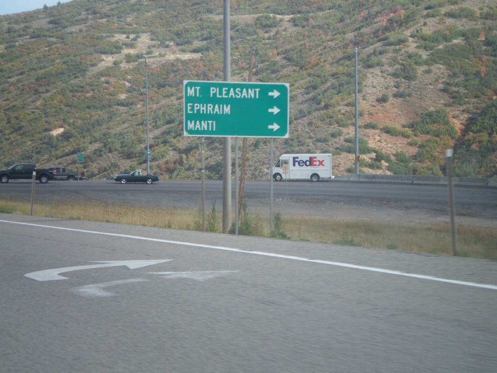
US-6 East/US-89 South at US-89 South
US-6 East/US-89 South at US-89 South split. Turn right for US-89 south to Mt Pleasant, Ephriam, and Manti.
Taken 10-01-2011

 Spanish Fork
Utah County
Utah
United States
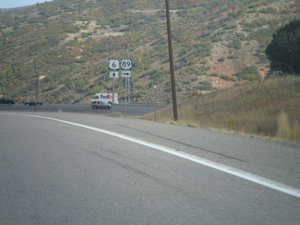
US-6 East/US-89 South at US-89 South
US-6 East/US-89 South at US-89 South split in Utah County.
Taken 10-01-2011

 Spanish Fork
Utah County
Utah
United States
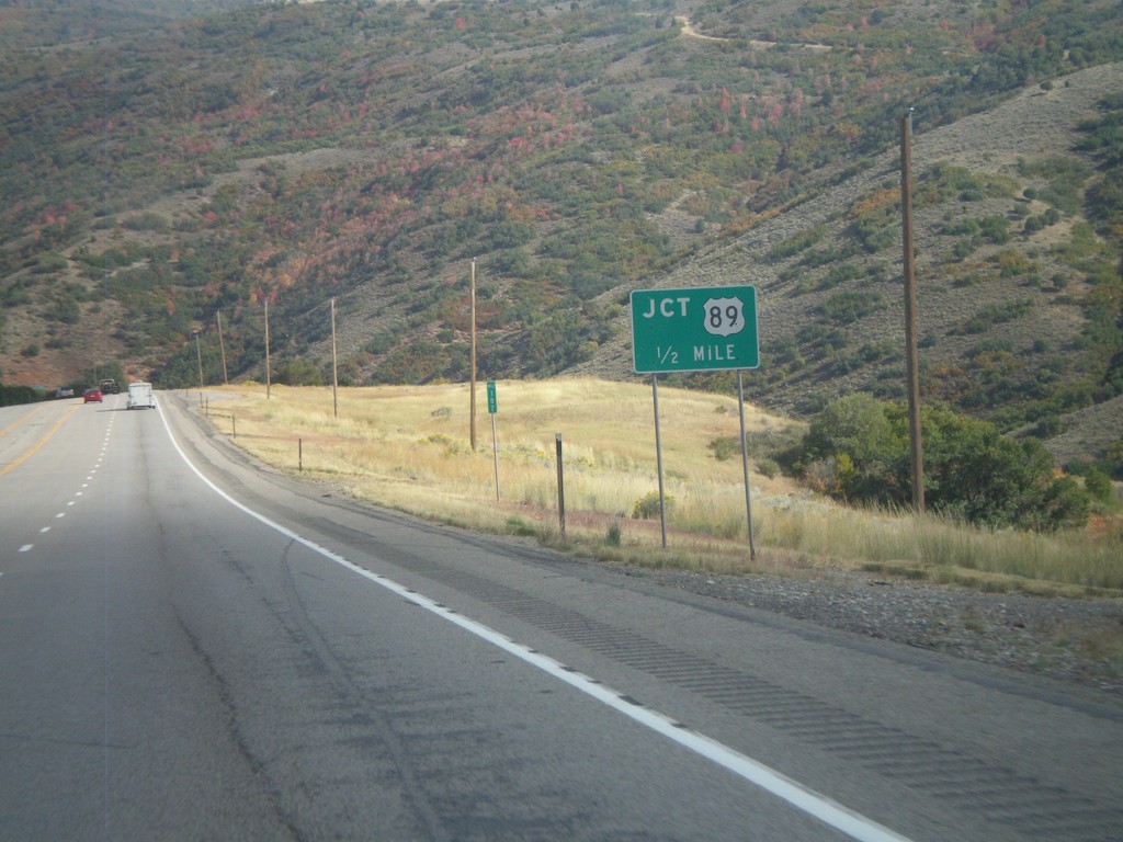
US-6 East/US-89 South Approaching Split
US-6 East/US-89 South Approaching US-6/US-89 split in Utah County.
Taken 10-01-2011

 Spanish Fork
Utah County
Utah
United States
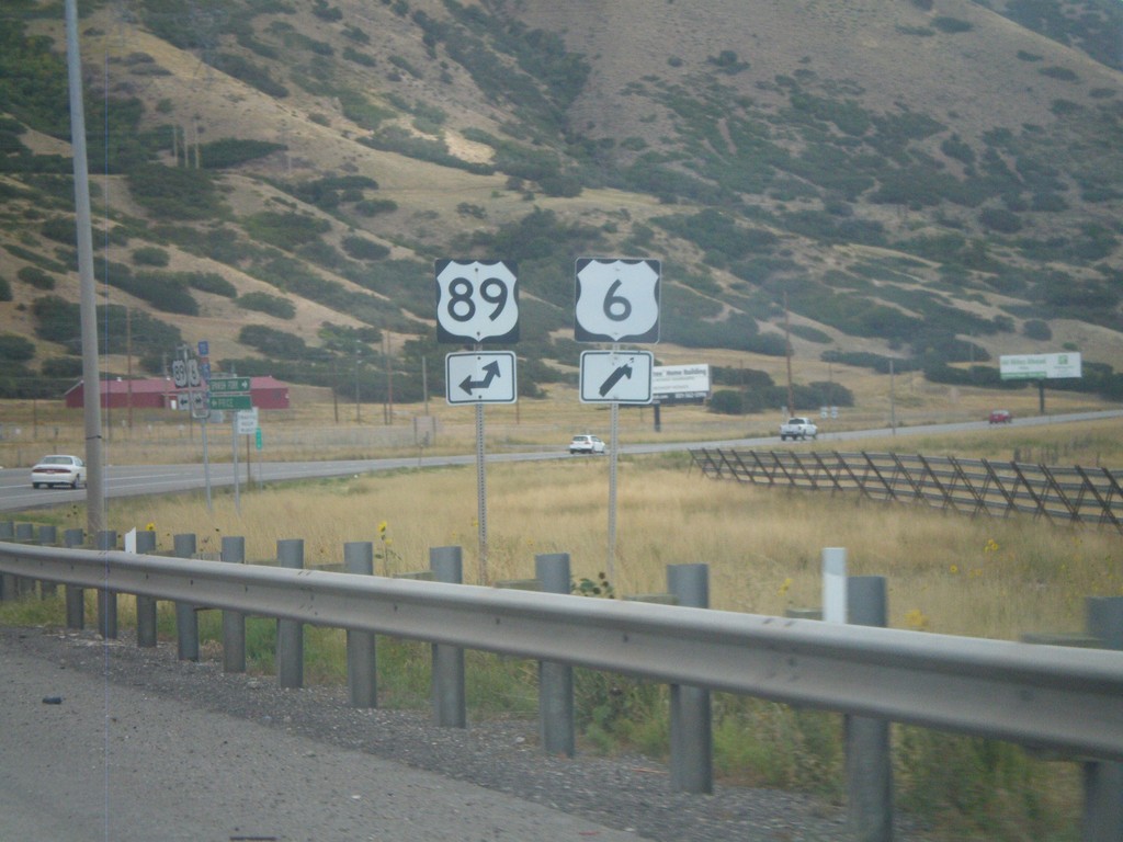
US-6 East at US-89
US-6 East at US-89. US-89 joins US-6 east up Spanish Fork Canyon.
Taken 10-01-2011

 Spanish Fork
Utah County
Utah
United States
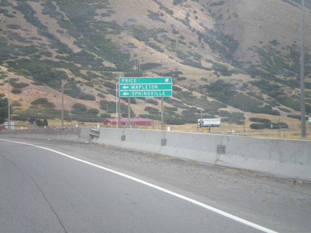
US-6 East Approaching US-89
US-6 East approaching US-89. Use US-89 north for Mapleton and Springville. Continue ahead on US-6 east/US-89 south for Price.
Taken 10-01-2011

 Spanish Fork
Utah County
Utah
United States
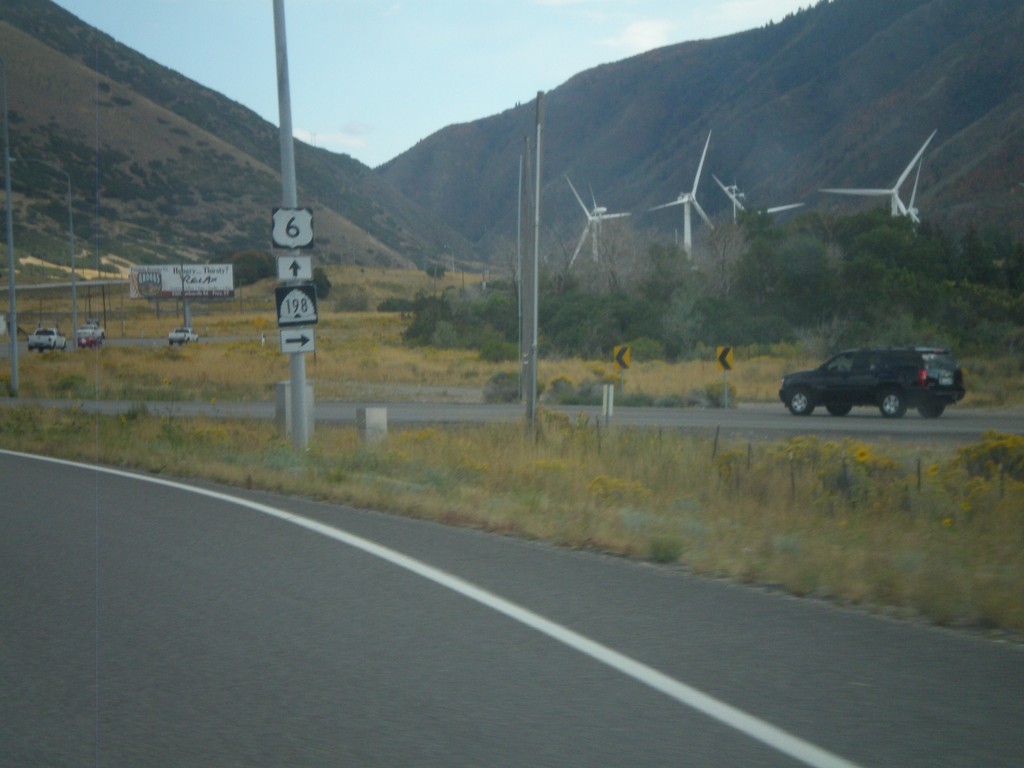
US-6 East at UT-198
US-6 East at UT-198. The windmills in the background are part of the Spanish Fork Wind Project.
Taken 10-01-2011

 Spanish Fork
Utah County
Utah
United States
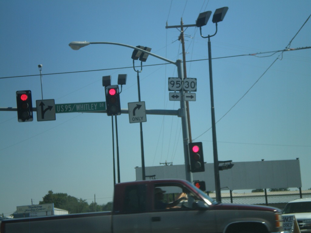
US-30 East At US-95
US-30 East at US-95. Turn right for US-30 East/US-95 South; left for US-95 North. US-30 joins US-95 through Fruitland.
Taken 09-04-2011

 Fruitland
Payette County
Idaho
United States
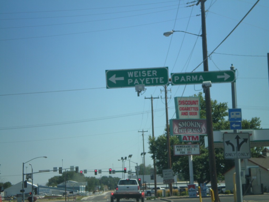
US-30 East Approaching US-95
US-30 East approaching US-95. Turn left for US-95 North to Weiser and Payette. Turn right for US-95 South/US-30 East for Parma. US-30 joins US-95 South through Fruitland.
Taken 09-04-2011

 Fruitland
Payette County
Idaho
United States
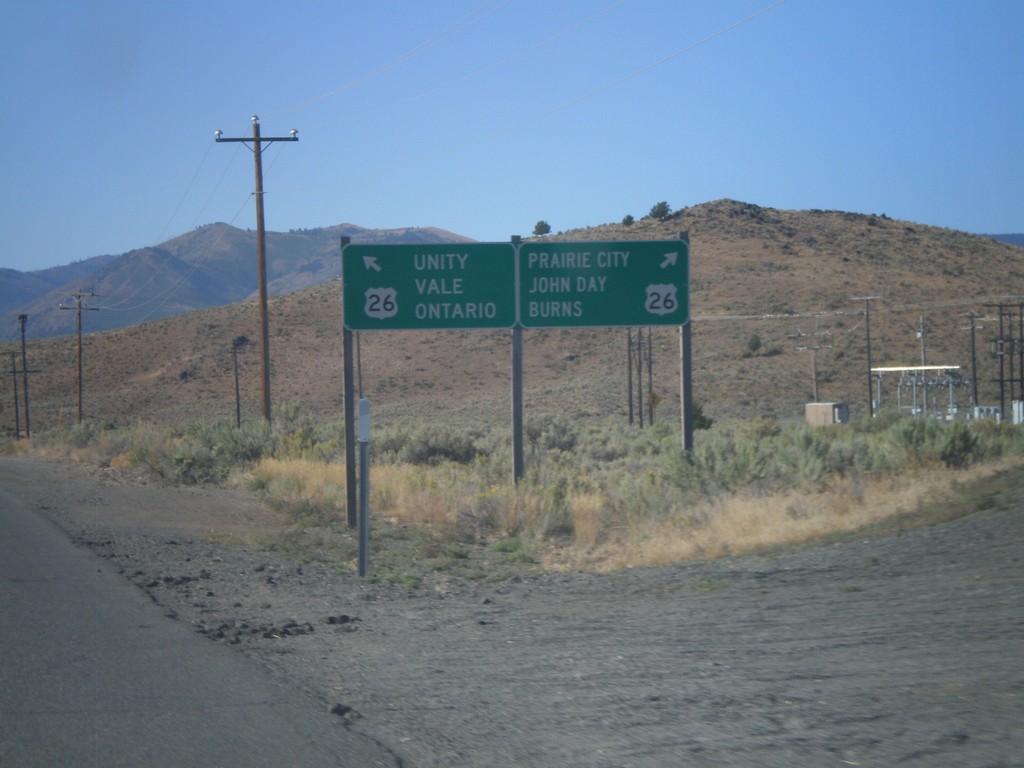
End OR-245 West at US-26
End OR-245 West at US-26. Use US-26 west for Burns, John Day, and Prairie City. Use US-26 east for Unity, Vale and Ontario.
Taken 09-04-2011

 Unity
Baker County
Oregon
United States
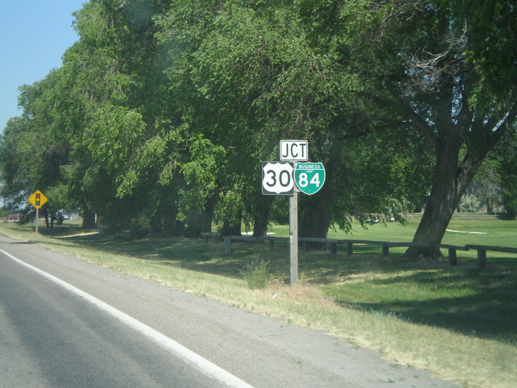
ID-81 North Approaching BL-84/US-30
Approaching BL-84/US-30 on ID-81 north in Burley.
Taken 07-05-2011


 Burley
Cassia County
Idaho
United States
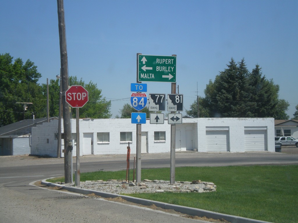
ID-77 North at ID-81
ID-77 north at ID-81. Use ID-77 north for Rupert and I-84; ID-81 south to Malta; and ID-81 north to Burley.
Taken 07-05-2011


 Declo
Cassia County
Idaho
United States
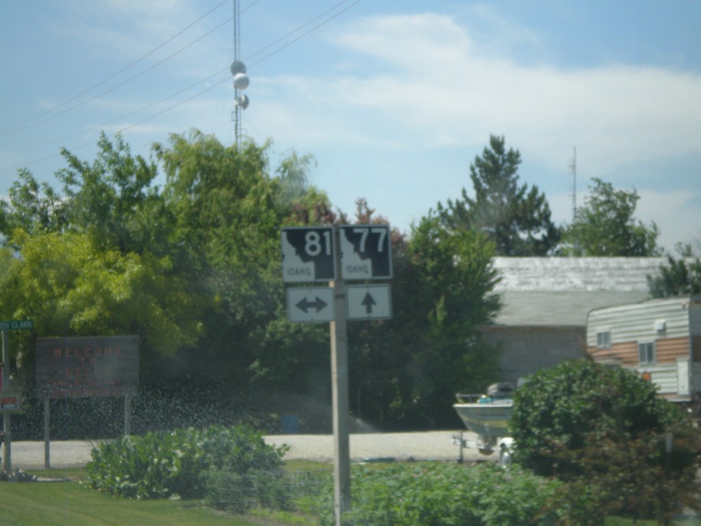
ID-77 South at ID-81
ID-77 south at ID-81 in Declo.
Taken 07-05-2011

 Declo
Cassia County
Idaho
United States
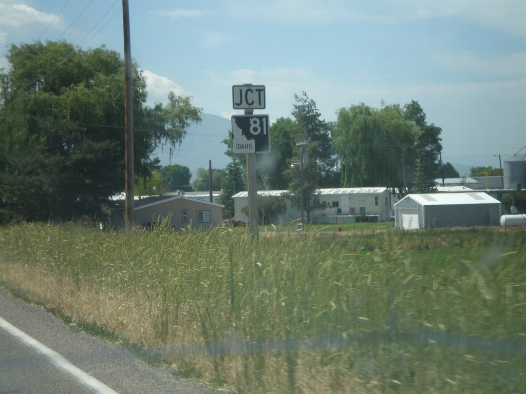
ID-77 South Approaching ID-81
ID-77 south approaching ID-81 in Declo.
Taken 07-05-2011

 Declo
Cassia County
Idaho
United States
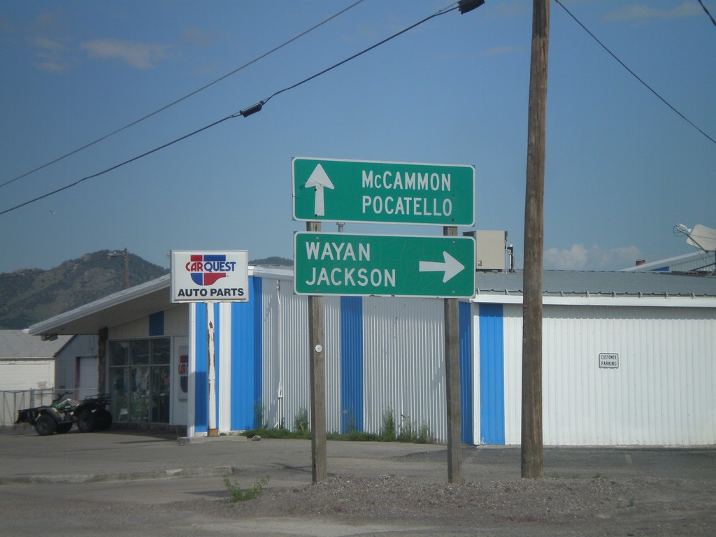
US-30 West at ID-34
US-30 west at ID-34 north to Wayan and Jackson. ID-34 joins US-30 west through Soda Springs towards McCammon and Pocatello.
Taken 07-05-2011

 Soda Springs
Caribou County
Idaho
United States
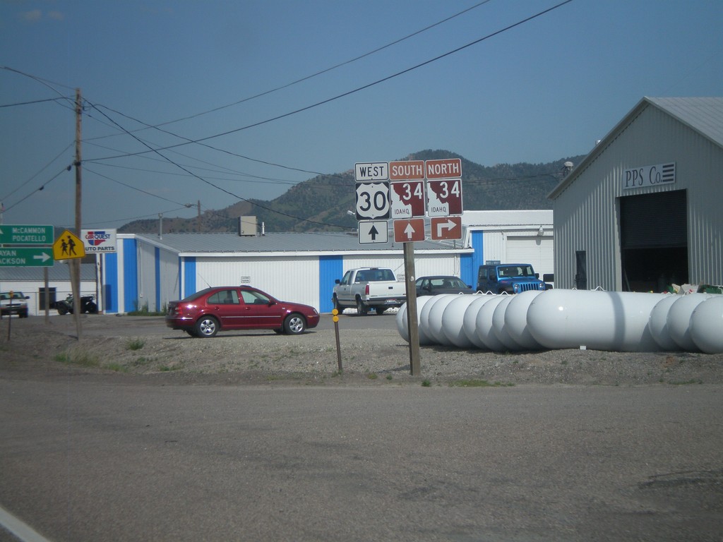
US-30 West at ID-34
US-30 west at ID-34 in Soda Springs. Turn right on ID-34 north for Afton and Jackson (both in Wyoming). ID-34 joins US-30 west through Soda Springs. Continue west on US-30/ID-34 for McCammon and Pocatello. ID-34 is part of the Pioneer Historic Byway, which is why the shield is a brown color.
Taken 07-05-2011

 Soda Springs
Caribou County
Idaho
United States
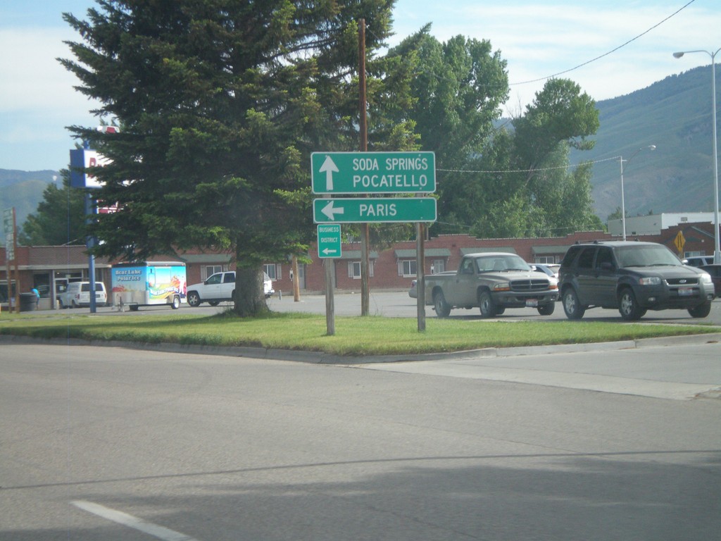
US-30 West at US-89
US-30 west at US-89. Turn left for US-89 south to Paris. Continue ahead for US-30 West towards Soda Springs and Pocatello, and US-89 north.
Taken 07-05-2011

 Montpelier
Bear Lake County
Idaho
United States
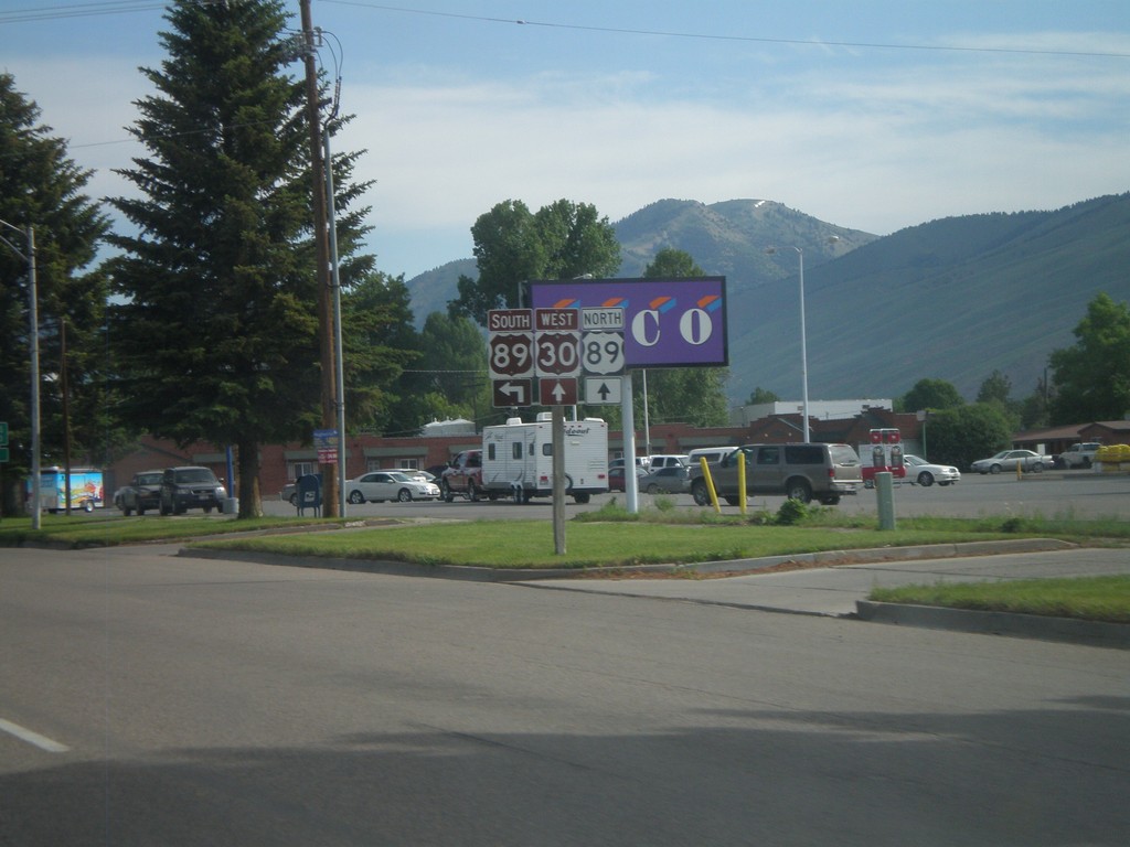
US-30 West at US-89
US-30 west at US-89 in Montpelier. US-89 joins US-30 through Montpelier. The Oregon Trail-Bear Lake Scenic Byway joins US-30 here, from US-89 south. That is why the US-89 south and US-30 west shields are brown.
Taken 07-05-2011

 Montpelier
Bear Lake County
Idaho
United States
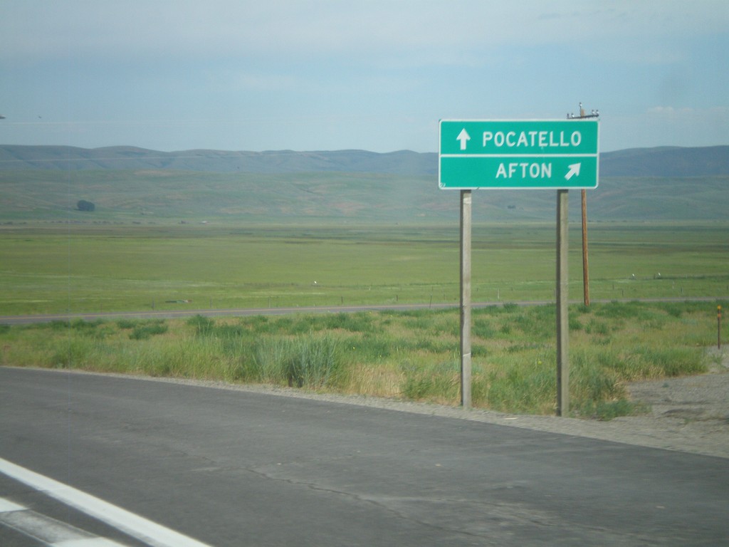
US-30 West/WY-89 North at WY-89
US-30 West/WY-89 North at WY-89 north jct. Use WY-89 north for Afton. Continue west on US-30 for Pocatello.
Taken 07-05-2011

 Cokeville
Lincoln County
Wyoming
United States