Signs Tagged With Intersection
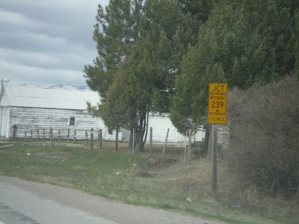
US-89 North approaching WY-239
US-89 north approaching WY-239
Taken 05-01-2010

 Freedom
Lincoln County
Wyoming
United States
Freedom
Lincoln County
Wyoming
United States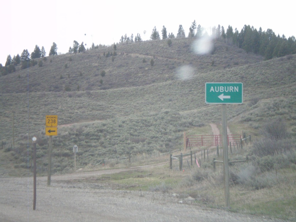
US-89 North at WY-238
US-89 north at WY-238 south to Auburn
Taken 05-01-2010
 Turnerville
Lincoln County
Wyoming
United States
Turnerville
Lincoln County
Wyoming
United States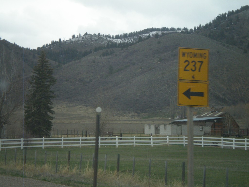
US-89 North at WY-237
US-89 north at WY-237
Taken 05-01-2010
 Afton
Lincoln County
Wyoming
United States
Afton
Lincoln County
Wyoming
United States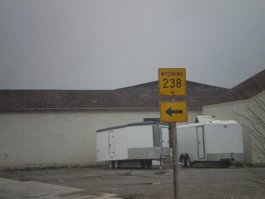
US-89 North at WY-238
US-89 north at WY-238
Taken 05-01-2010
Afton
Lincoln County
Wyoming
United States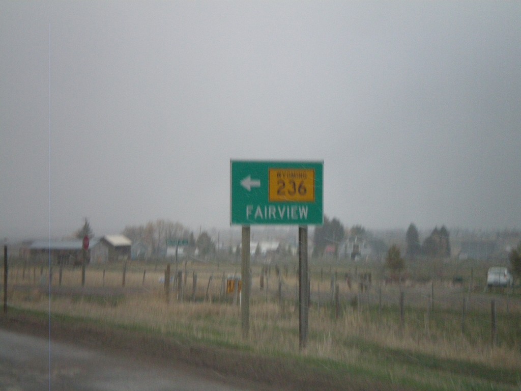
US-89 North at WY-236
US-89 north at WY-236 west to Fairview
Taken 05-01-2010
 Afton
Lincoln County
Wyoming
United States
Afton
Lincoln County
Wyoming
United States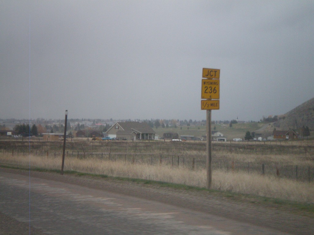
US-89 North Approaching WY-236
US-89 north approaching WY-236
Taken 05-01-2010
Afton
Lincoln County
Wyoming
United States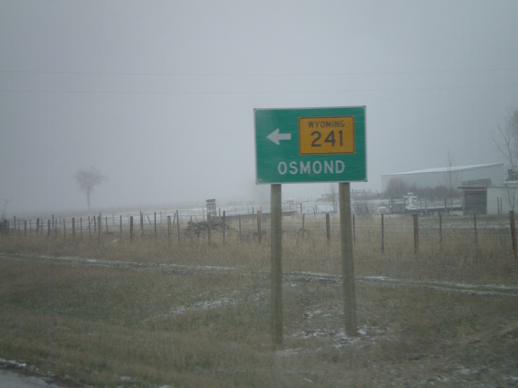
US-89 North at WY-241 North
US-89 north at WY-241 north to Osmond
Taken 05-01-2010
 Afton
Lincoln County
Wyoming
United States
Afton
Lincoln County
Wyoming
United States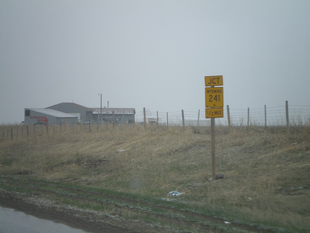
US-89 North Approaching WY-241
US-89 north approaching WY-241
Taken 05-01-2010
Afton
Lincoln County
Wyoming
United States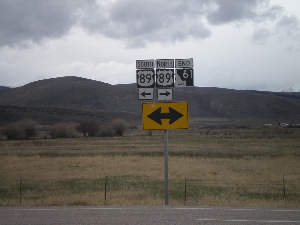
End ID-61 at US-89
End ID-61 north at US-89. ID-61 is the shortest state highway in Idaho.
Taken 05-01-2010
 Geneva
Bear Lake County
Idaho
United States
Geneva
Bear Lake County
Idaho
United States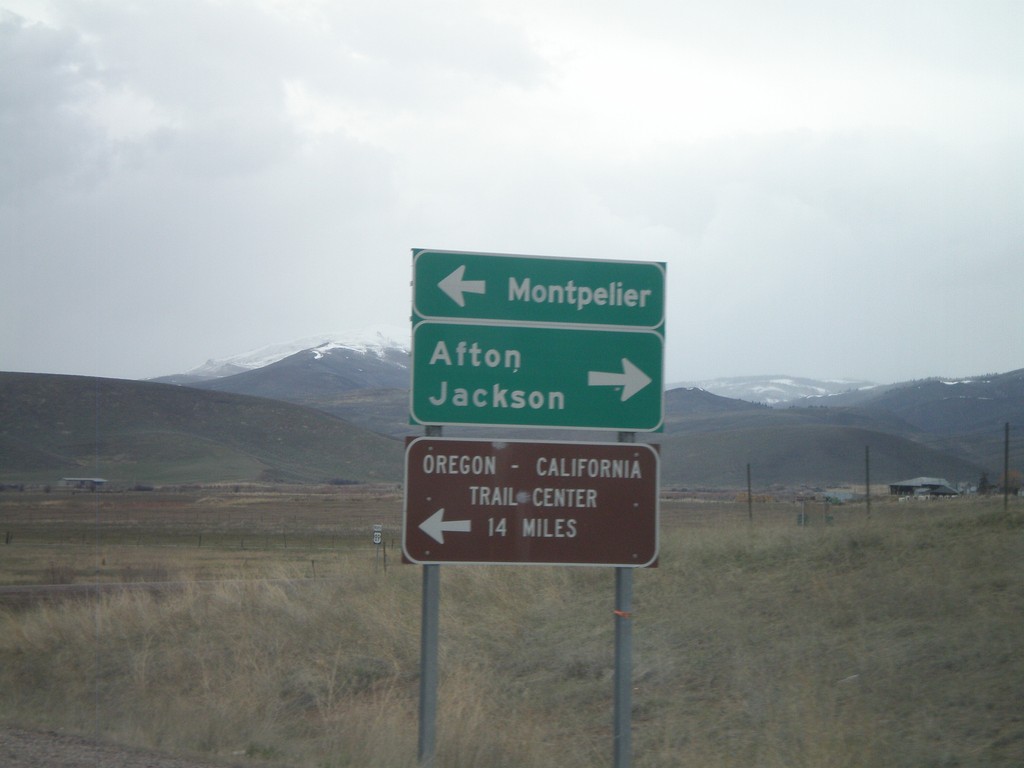
ID-61 North Approaching US-89
ID-61 north approaching US-89. Use US-89 north for Afton and Jackson (both in Wyoming). Use US-89 south for Montpelier. This type of direction sign is typically used at freeway ramps.
Taken 05-01-2010
Geneva
Bear Lake County
Idaho
United States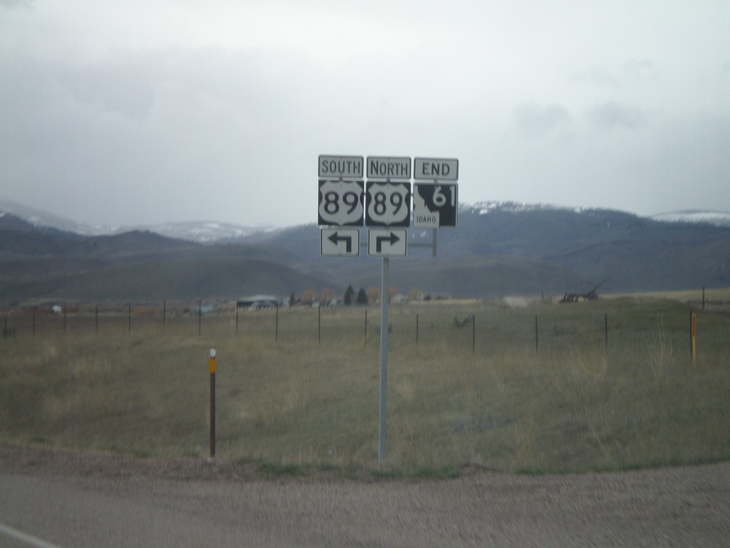
End ID-61 North at US-89
End ID-61 north at US-89
Taken 05-01-2010
Geneva
Bear Lake County
Idaho
United States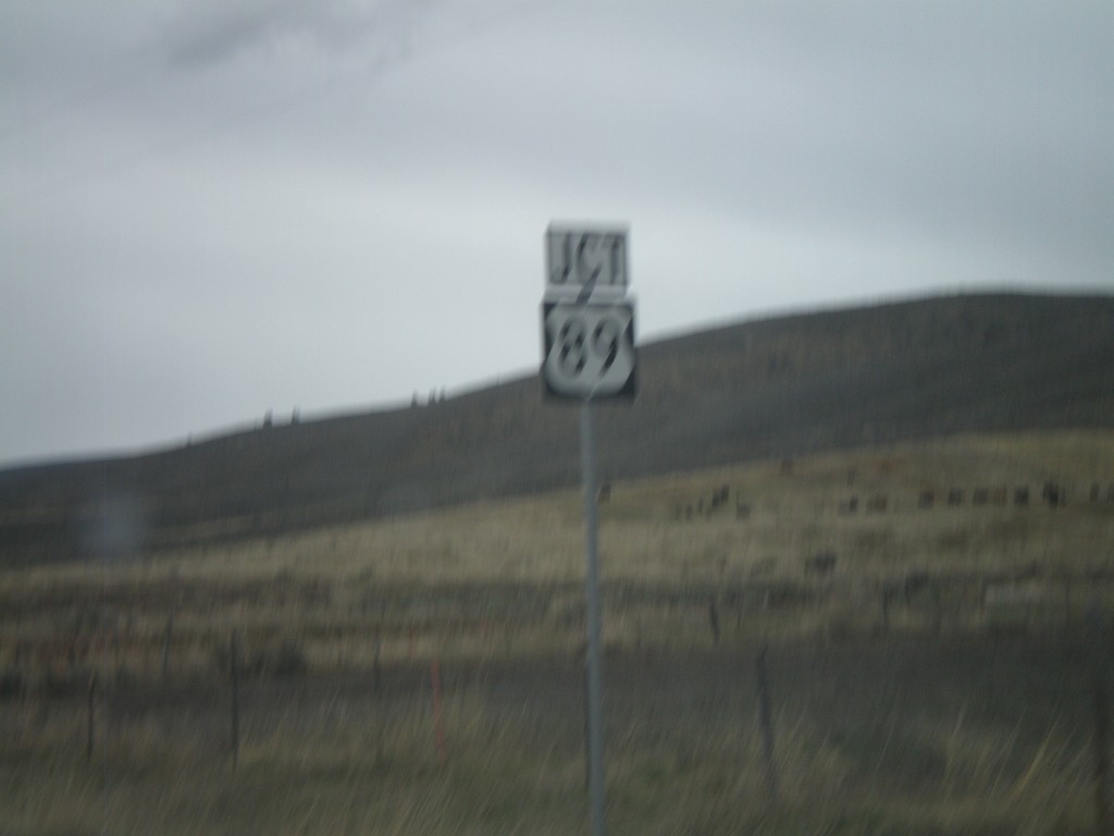
ID-61 North Approaching US-89
ID-61 north approaching US-89
Taken 05-01-2010
Geneva
Bear Lake County
Idaho
United States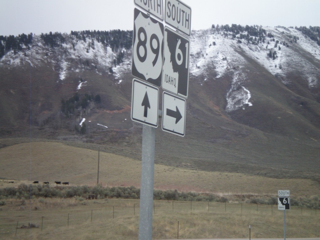
US-89 North at ID-61
US-89 north at ID-61
Taken 05-01-2010
Geneva
Bear Lake County
Idaho
United States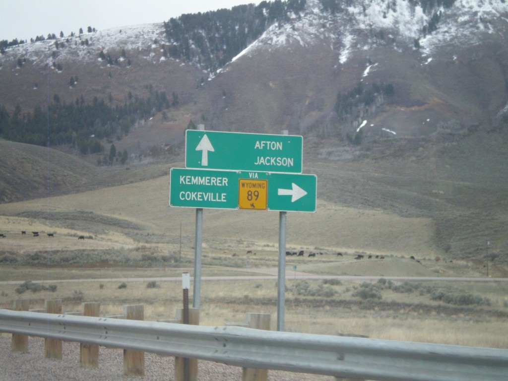
US-89 North Approaching ID-61
US-89 north approaching ID-61 (To WY-89). Use ID-61 south for WY-89, Cokeville, and Kemmerer. Continue north on US-89 for Afton and Jackson. All destinations are in Wyoming. The only instance that I have encountered where state highway shield from another state is posted in Idaho, is at this intersection.
Taken 05-01-2010
 Geneva
Bear Lake County
Idaho
United States
Geneva
Bear Lake County
Idaho
United States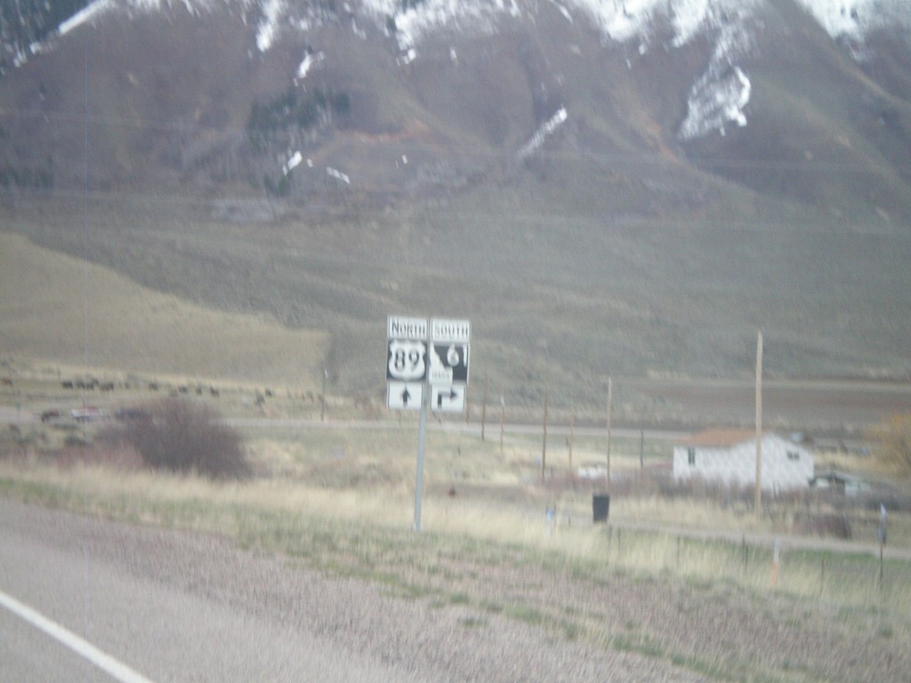
US-89 North Approaching ID-61
US-89 north approaching ID-61.
Taken 05-01-2010
Geneva
Bear Lake County
Idaho
United States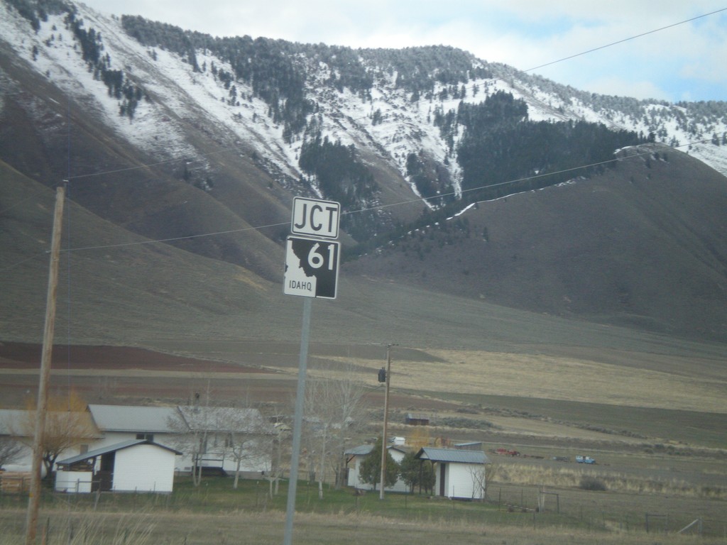
US-89 North Approaching ID-61
US-89 north approaching ID-61
Taken 05-01-2010
Geneva
Bear Lake County
Idaho
United States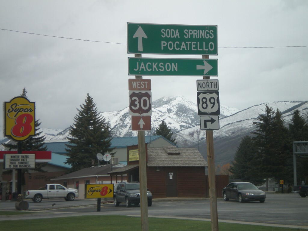
US-89 North/US-30 West at US-89 North
US-89 north/US-30 west at US-89 north to Jackson. Continue west on US-30 for Soda Springs and Pocatello.
Taken 05-01-2010
 Montpelier
Bear Lake County
Idaho
United States
Montpelier
Bear Lake County
Idaho
United States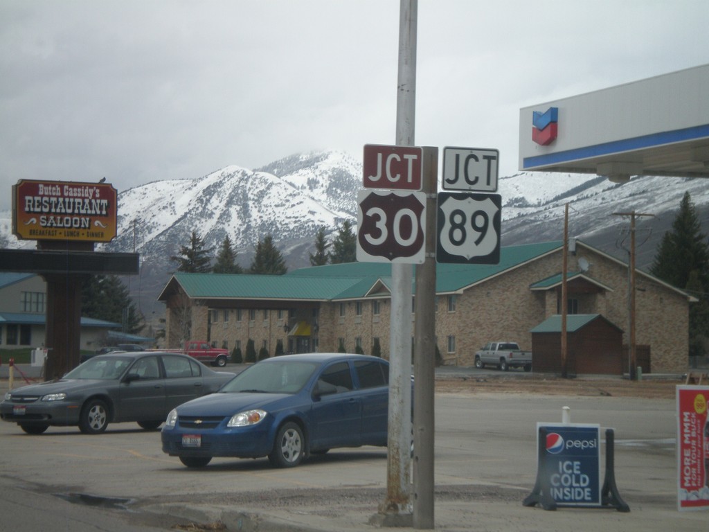
US-30 West/US-89 North Approaching US-89
US-30 West/US-89 North approaching US-89 north in Montpelier.
Taken 05-01-2010
Montpelier
Bear Lake County
Idaho
United States
US-30/US-89 - Approaching US-89
US-30 West/US-89 North approaching US-89 north split. Use right lane for US-89 north to Afton and Jackson (both in Wyoming).
Taken 05-01-2010
Montpelier
Bear Lake County
Idaho
United States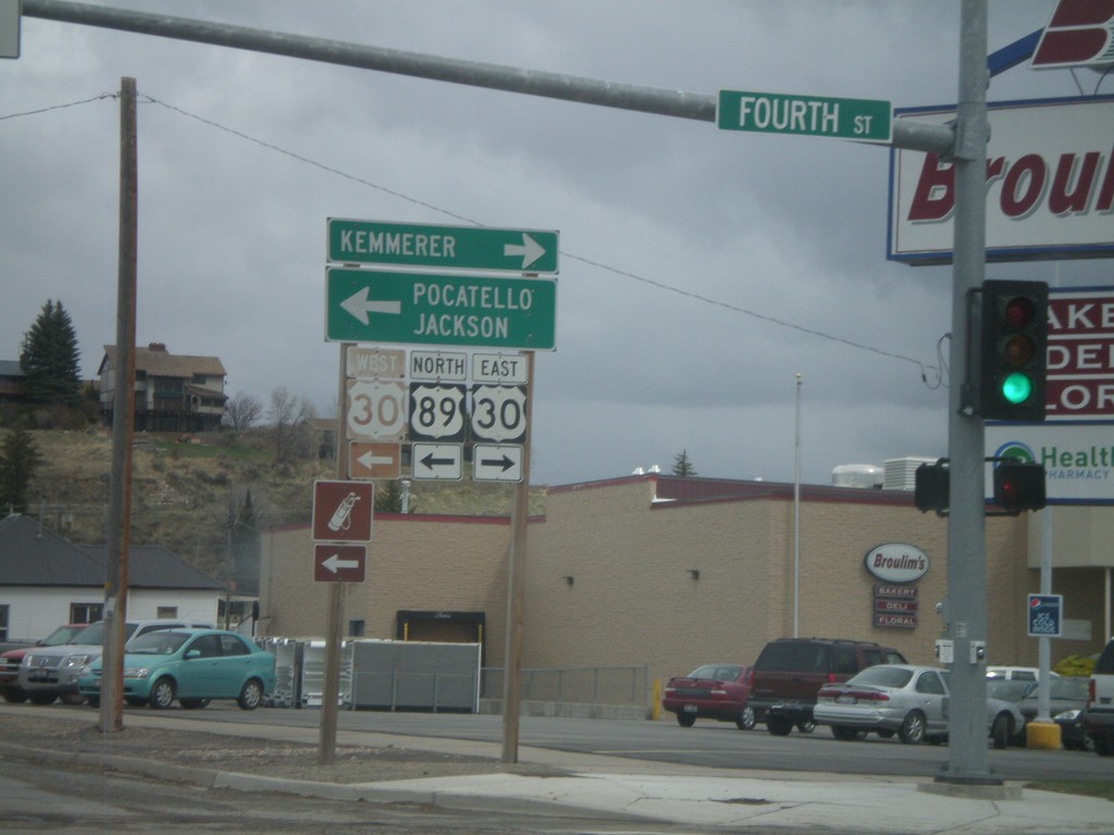
US-89 North at US-30
US-89 north at US-30 in Montpelier. Use US-30 east for Kemmerer (Wyoming), and US-30 west/US-89 north for Pocatello and Jackson (Wyoming). US-30 and US-89 north join briefly through Montpelier.
Taken 05-01-2010
Montpelier
Bear Lake County
Idaho
United States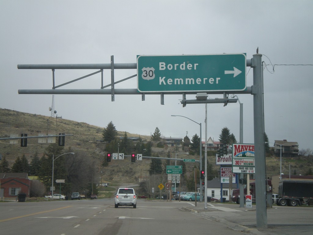
US-89 North at US-30
US-89 north at US-30 in Montpelier. Use US-30 East for Border and Kemmerer. The left half of this sign is missing.
Taken 05-01-2010
Montpelier
Bear Lake County
Idaho
United States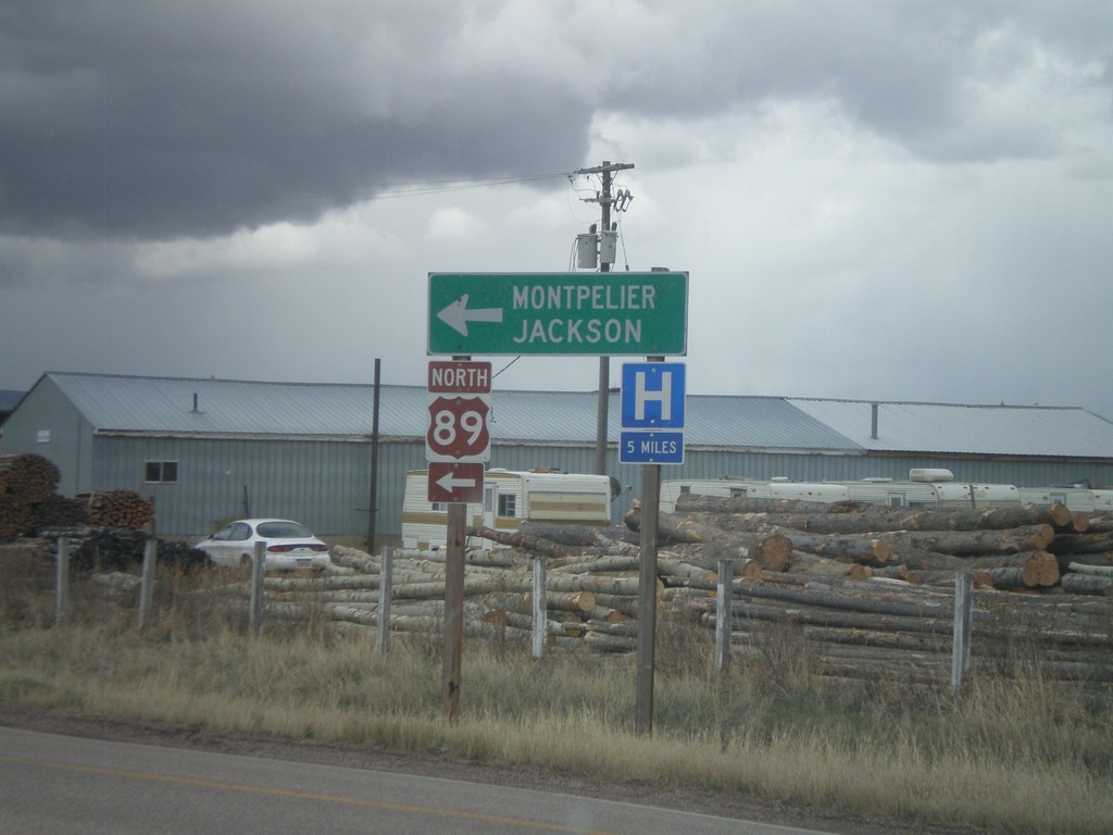
End ID-36 East at US-89
End ID-36 at US-89 Junction. Use US-89 north for Montpelier and Jackson.
Taken 05-01-2010
 Ovid
Bear Lake County
Idaho
United States
Ovid
Bear Lake County
Idaho
United States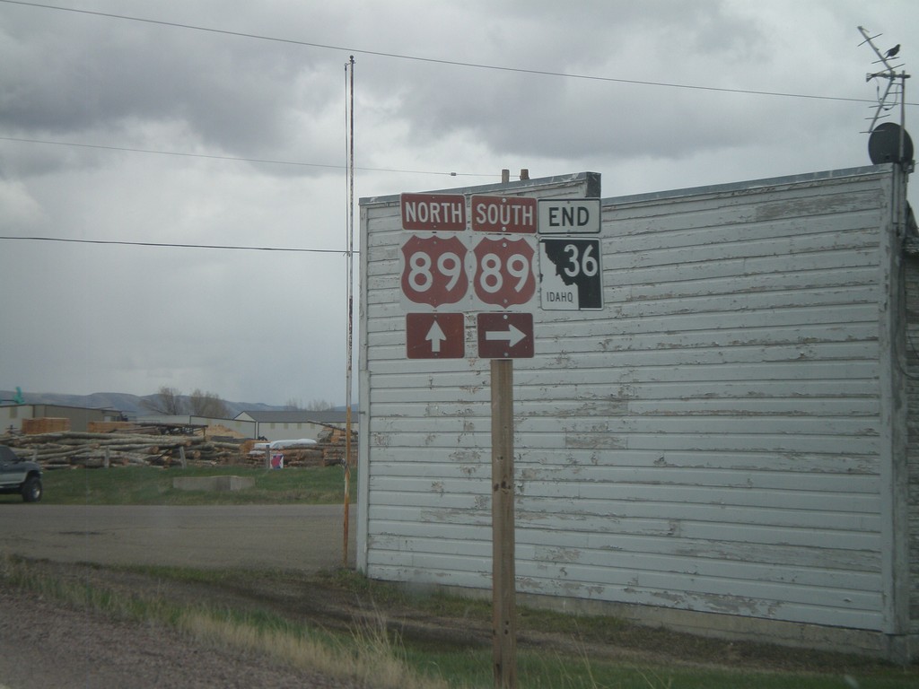
End ID-36 East at US-89
End ID-36 east at US-89. US-89 is part of the Oregon Trail - Bear Lake Scenic Byway
Taken 05-01-2010
Ovid
Bear Lake County
Idaho
United States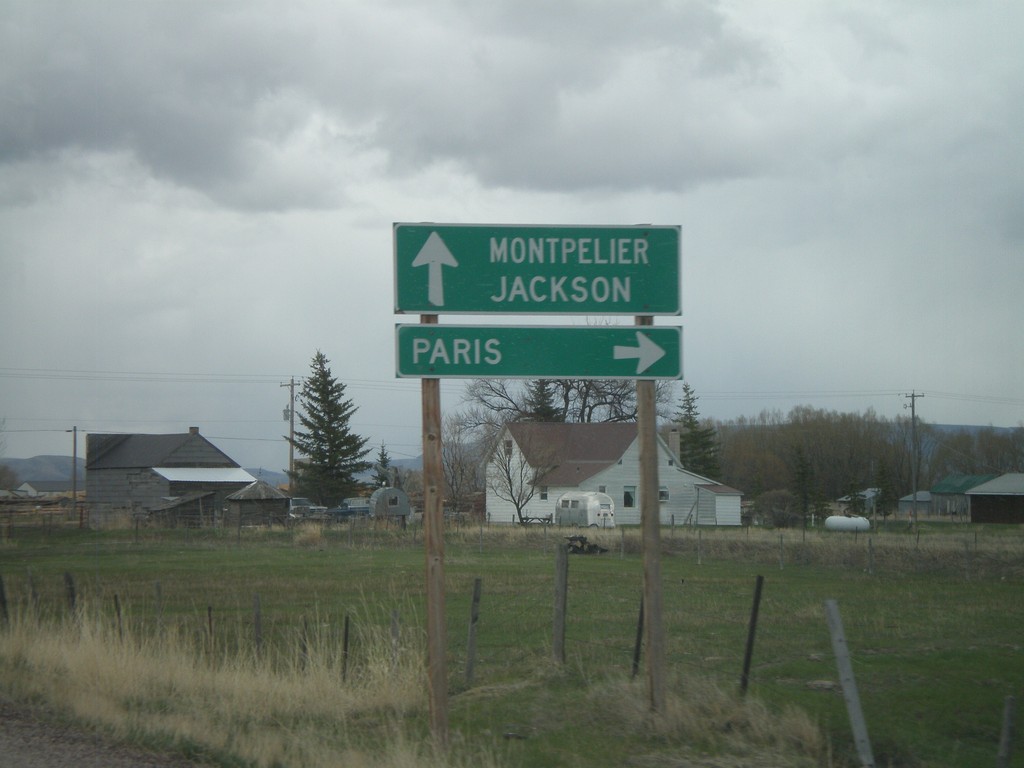
End ID-36 at US-89
End ID-36 at US-89. Use US-89 south for Paris. US-89 north for Montpelier and Jackson.
Taken 05-01-2010
Ovid
Bear Lake County
Idaho
United States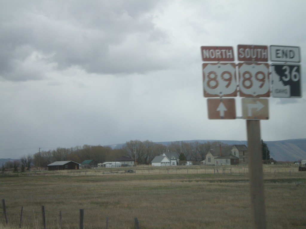
End ID-36 east at US-89
End ID-36 east at US-89
Taken 05-01-2010
Ovid
Bear Lake County
Idaho
United States