Signs Tagged With Intersection
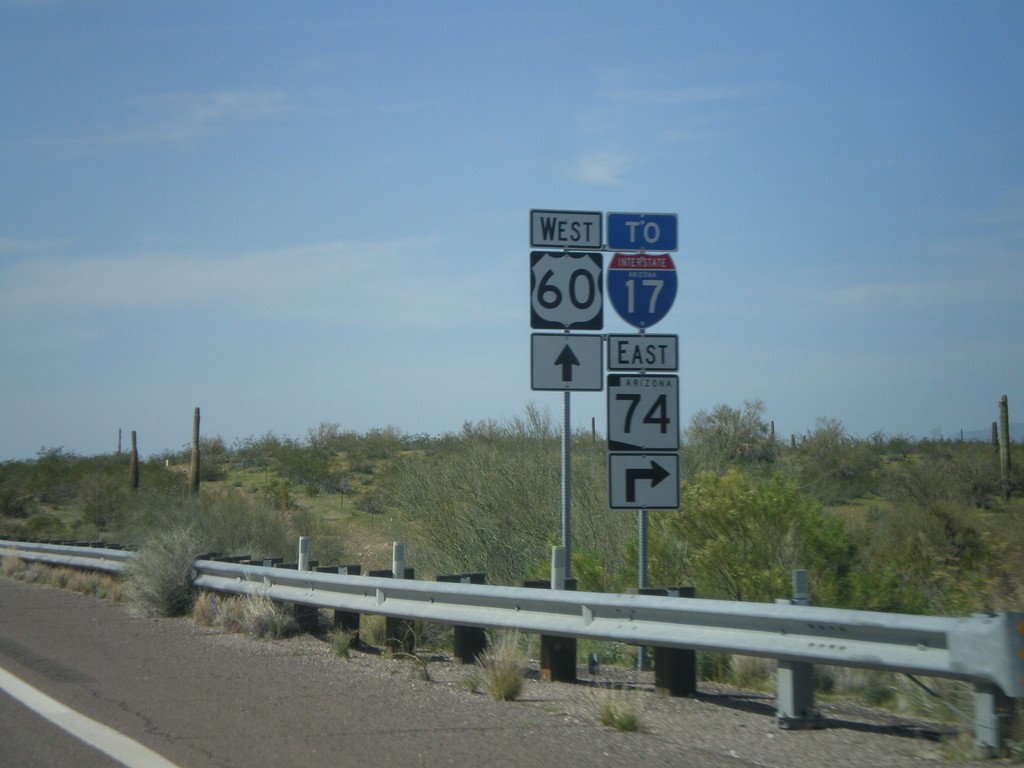
US-60 West Approaching AZ-74
US-60 west approaching AZ-74, To I-17. AZ-74 cuts across the north end of the Phoenix Metropolitan Area between US-60 on the west to I-17 on the east.
Taken 03-22-2010


 Morristown
Maricopa County
Arizona
United States
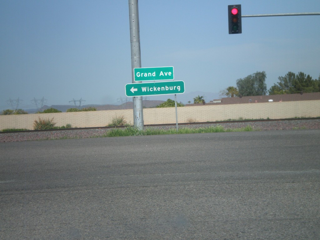
AZ-303 Loop North at US-60
AZ-303 Loop North offramp at US-60/Grand Ave. Use US-60 west for Wickenburg.
Taken 03-22-2010

 Surprise
Maricopa County
Arizona
United States
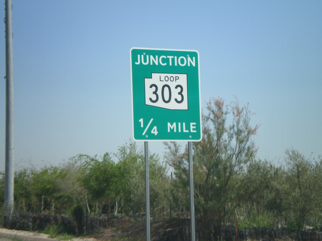
Olive Ave. Approaching AZ-303 Loop
Olive Ave. east approaching AZ-303 Loop.
Taken 03-22-2010
 Waddell
Maricopa County
Arizona
United States
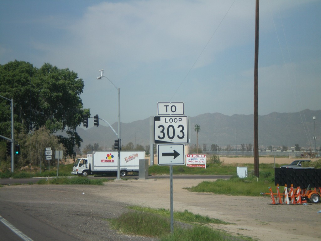
I-10 Exit 124 Offramp at AZ-303 Loop
I-10 Exit 123 offramp at AZ-303 Loop. AZ-303 Loop is signed as To AZ-303 Loop until it leaves Cotton Lane.
Taken 03-22-2010

 Goodyear
Maricopa County
Arizona
United States
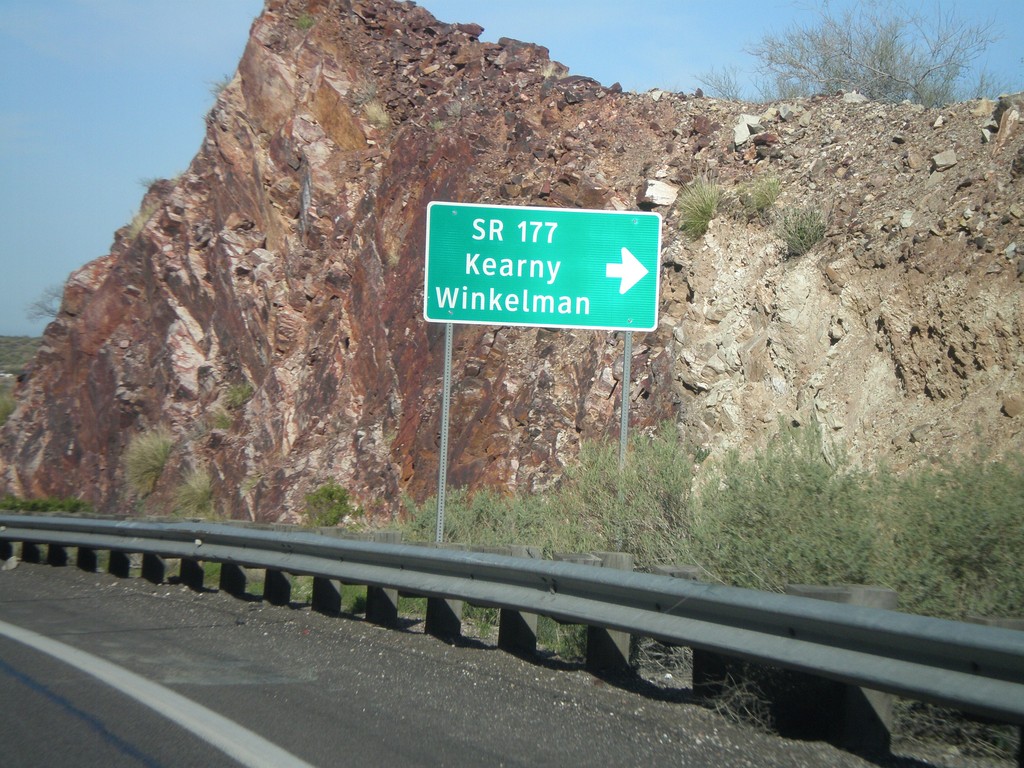
US-60 West at AZ-177 South
US-60 west at AZ-177 south to Winkelman and Kearny. AZ-177 is not displayed as a typical highway shield here, instead it is written out in text.
Taken 03-22-2010

 Superior
Pinal County
Arizona
United States
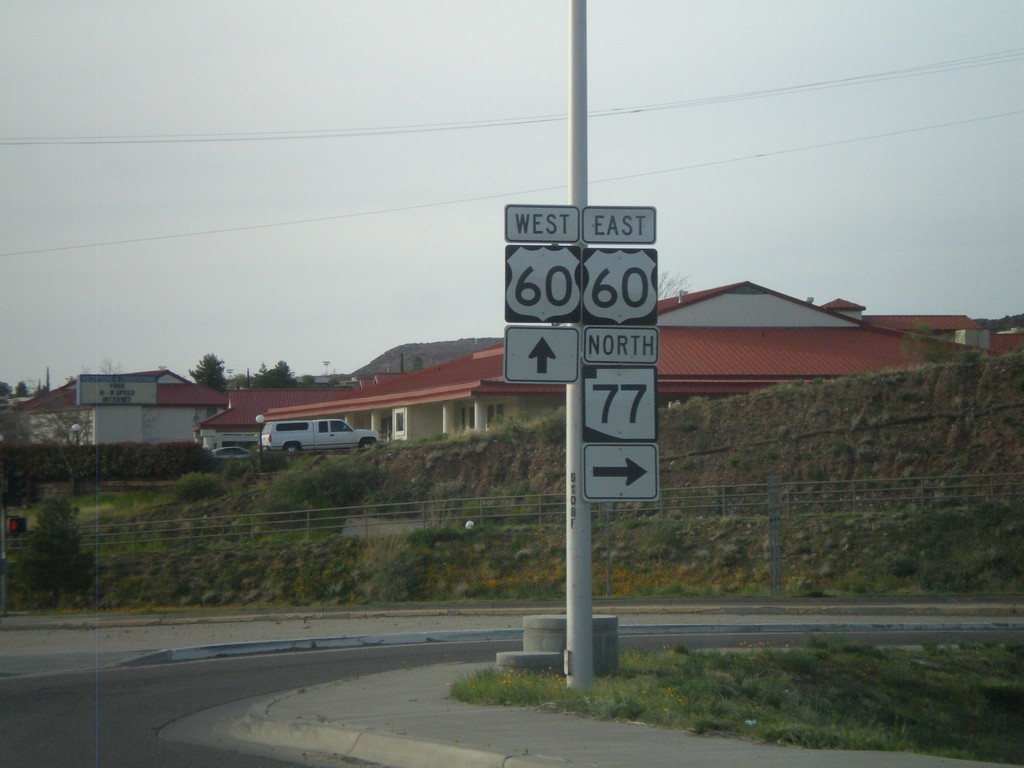
End US-70 West at US-60 and AZ-77
End US-70 west at US-60 and AZ-77. AZ-77 turns north here onto US-60 east.
Taken 03-21-2010


 Globe
Gila County
Arizona
United States
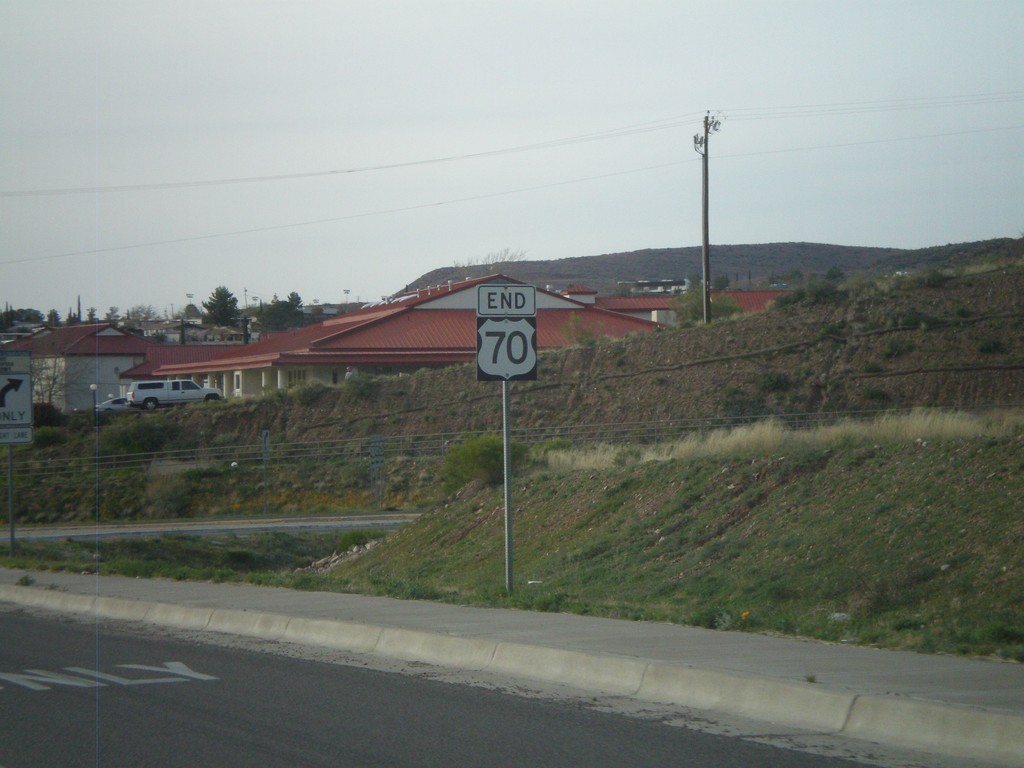
End US-70
End US-70 approaching US-60/AZ-77 Jct.
Taken 03-21-2010


 Globe
Gila County
Arizona
United States
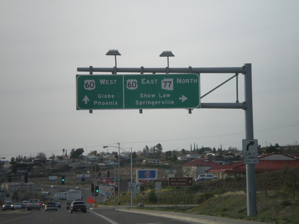
US-70 West/AZ-77 North at US-60/AZ-77
US-70 west at US-60/AZ-77 junction. Use US-60 East/AZ-77 North for Show Low and Springerville. Use US-60 west for Globe and Phoenix. This is the western end of US-70.
Taken 03-21-2010


 Globe
Gila County
Arizona
United States
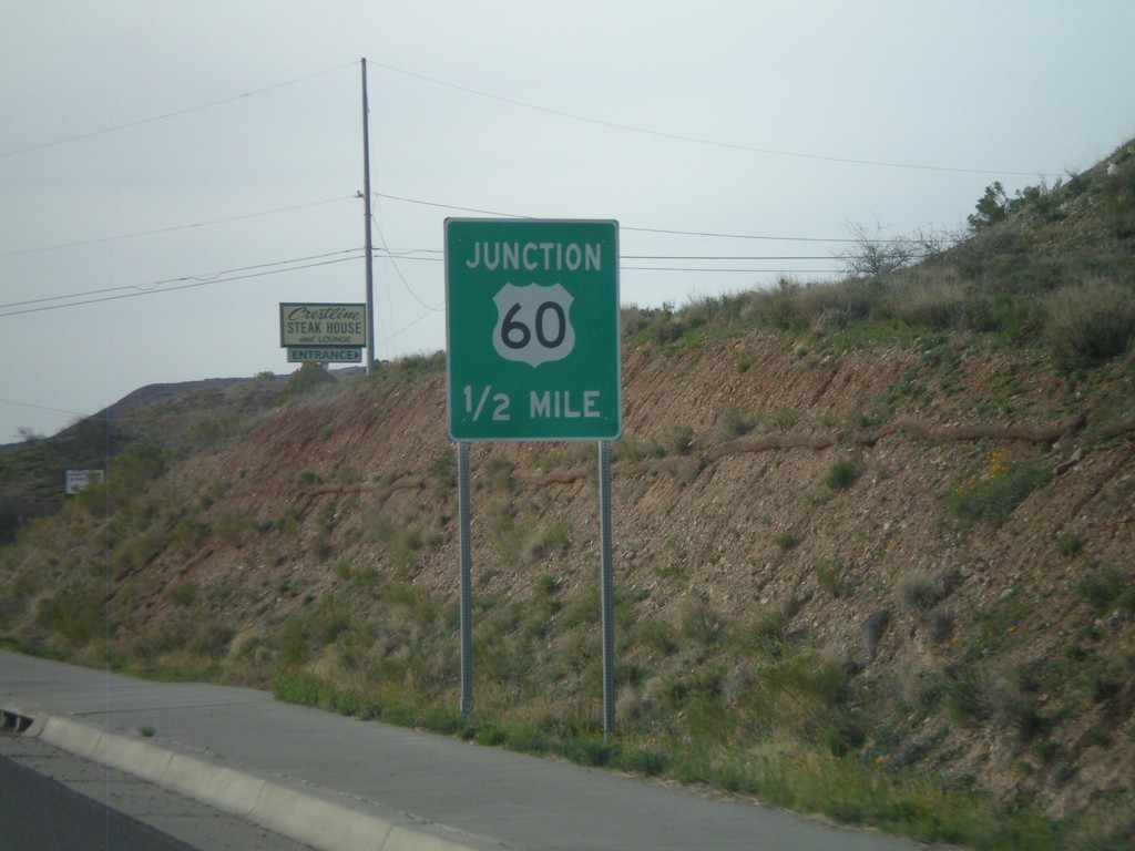
US-70 West Approaching US-60
US-70 west approaching US-60. AZ-77 north has been following US-70 west, and turns onto US-60 east. This is the western terminus of US-70.
Taken 03-21-2010


 Globe
Gila County
Arizona
United States
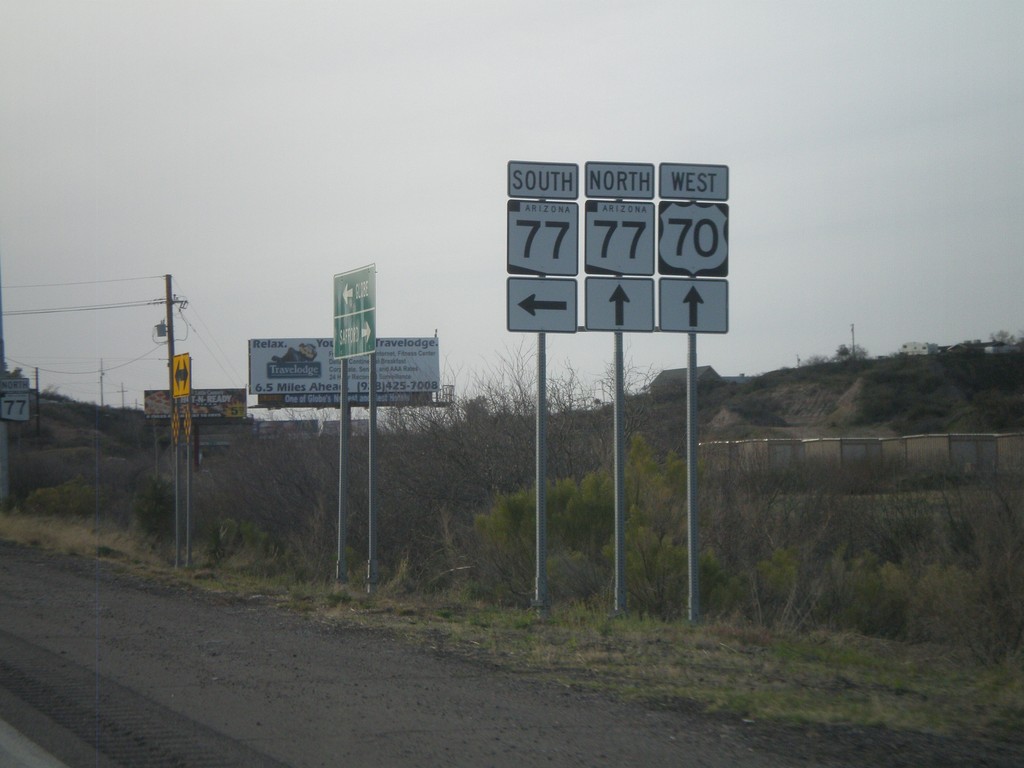
US-70 West at AZ-77
US-70 west at AZ-77. AZ-77 joins US-70 west into Globe.
Taken 03-21-2010

 Globe
Gila County
Arizona
United States
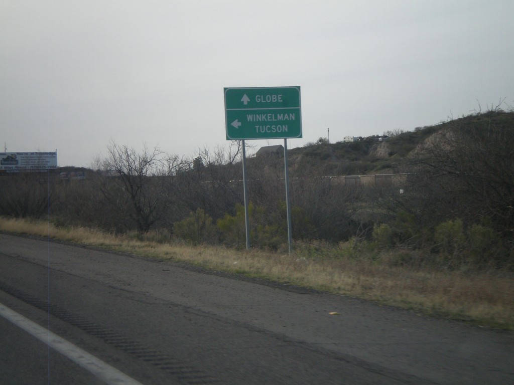
US-70 West at AZ-77
US-70 west at AZ-77. Use AZ-77 south for Winkelman and Tucson. Continue west on US-70/AZ-77 north for Globe.
Taken 03-21-2010

 Globe
Gila County
Arizona
United States
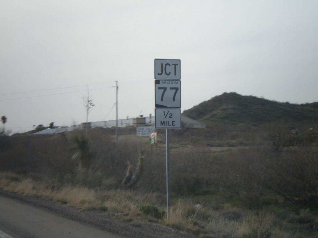
US-70 West Approaching AZ-77
US-70 west approaching AZ-77
Taken 03-21-2010

 Globe
Gila County
Arizona
United States
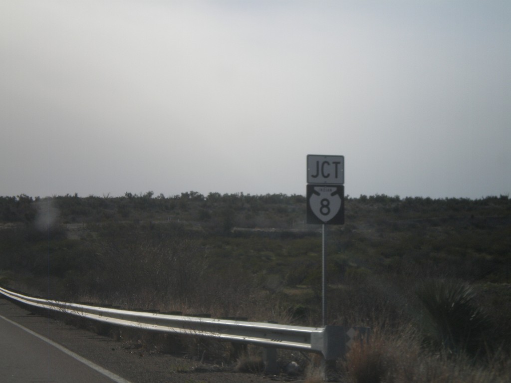
US-70 West Approaching BIA-8
US-70 West approaching BIA-8.
Taken 03-21-2010

 Peridot
Graham County
Arizona
United States
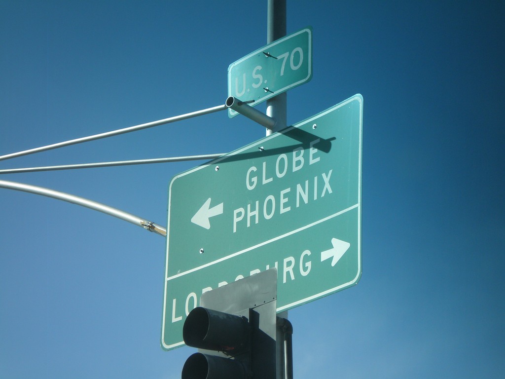
US-70 West at US-191 South
US-70 west at US-191 south. Use US-70 west for Globe and Phoenix. Use US-70 East/US-191 North for Lordsburg (NM).
Taken 03-21-2010

 Safford
Graham County
Arizona
United States
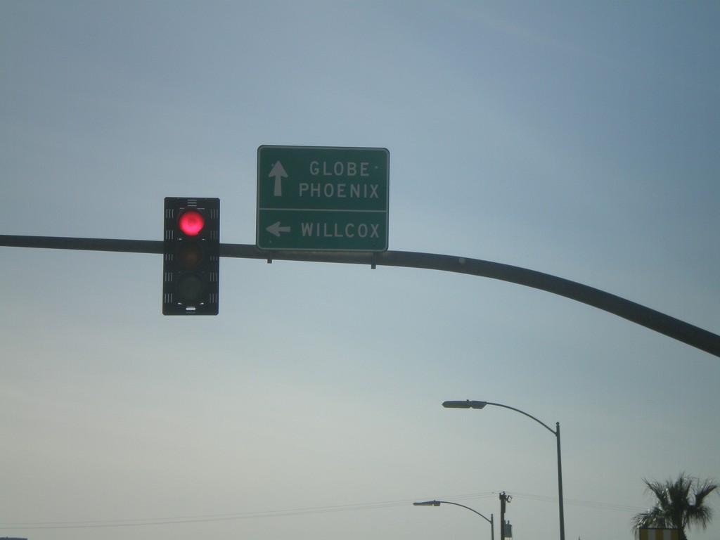
US-70 West at US-191 South
US-70 west at US-191 south. Use US-70 west for Globe and Phoenix. Use US-191 South for Willcox.
Taken 03-21-2010

 Safford
Graham County
Arizona
United States
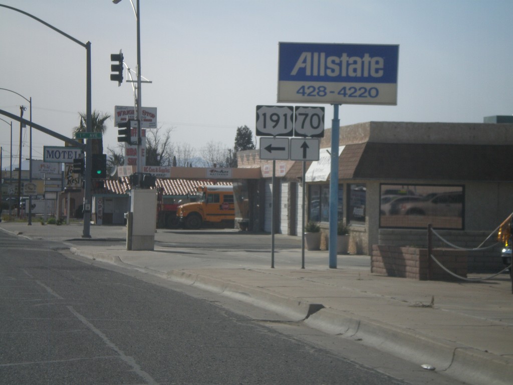
US-70 West/US-191 South at US-70/US-191 Split
US-70 West/US-191 South at the US-70/US-191 Split. Turn left to continue south on US-191. US-70 continues straight ahead.
Taken 03-21-2010

 Safford
Graham County
Arizona
United States
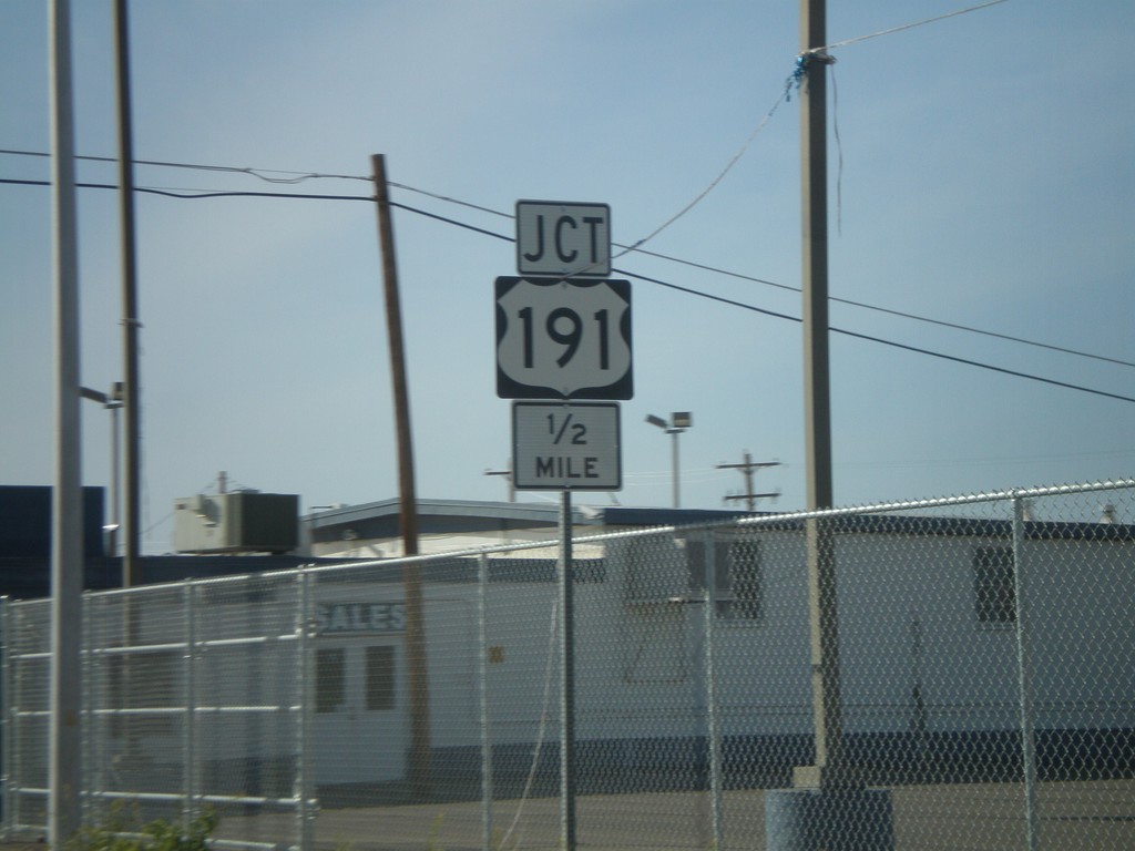
US-70 West/US-191 South Approaching US-191
US-70 West/US-191 South Approaching US-191/US-70 split.
Taken 03-21-2010

 Safford
Graham County
Arizona
United States
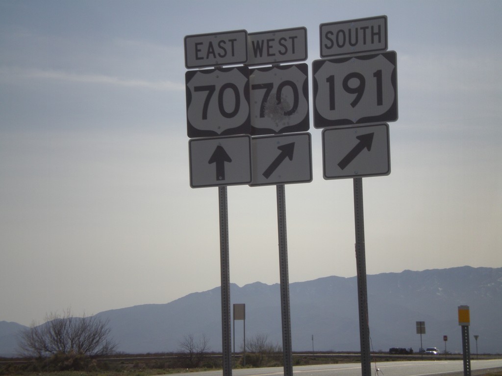
US-191 South at US-70
US-191 south at US-70. US-191 South joins US-70 west to Safford.
Taken 03-21-2010

 San Jose
Graham County
Arizona
United States
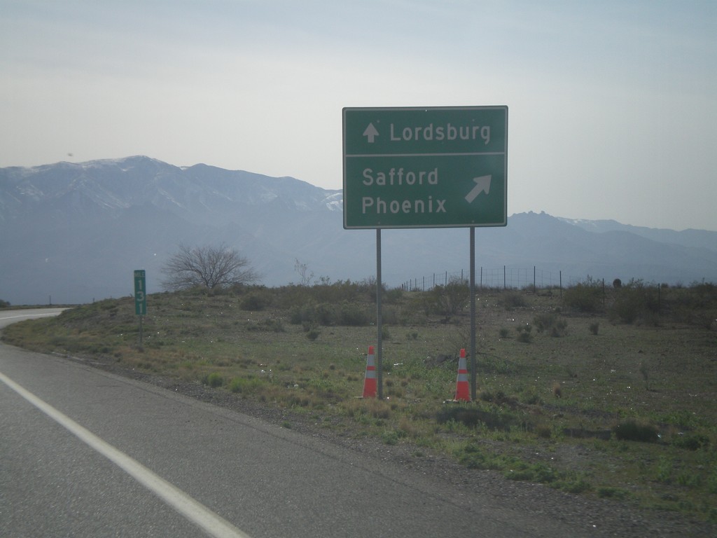
US-191 South Approaching US-70
US-191 south approaching US-70. Use US-70 West/US-191 South for Safford and Phoenix. Use US-70 east for Lordsburg (NM).
Taken 03-21-2010

 San Jose
Graham County
Arizona
United States
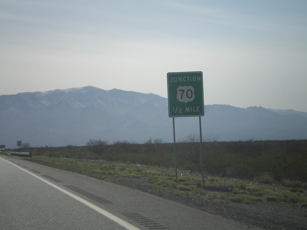
US-191 South Approaching US-70
US-191 south approaching US-70.
Taken 03-21-2010

 Safford
Graham County
Arizona
United States
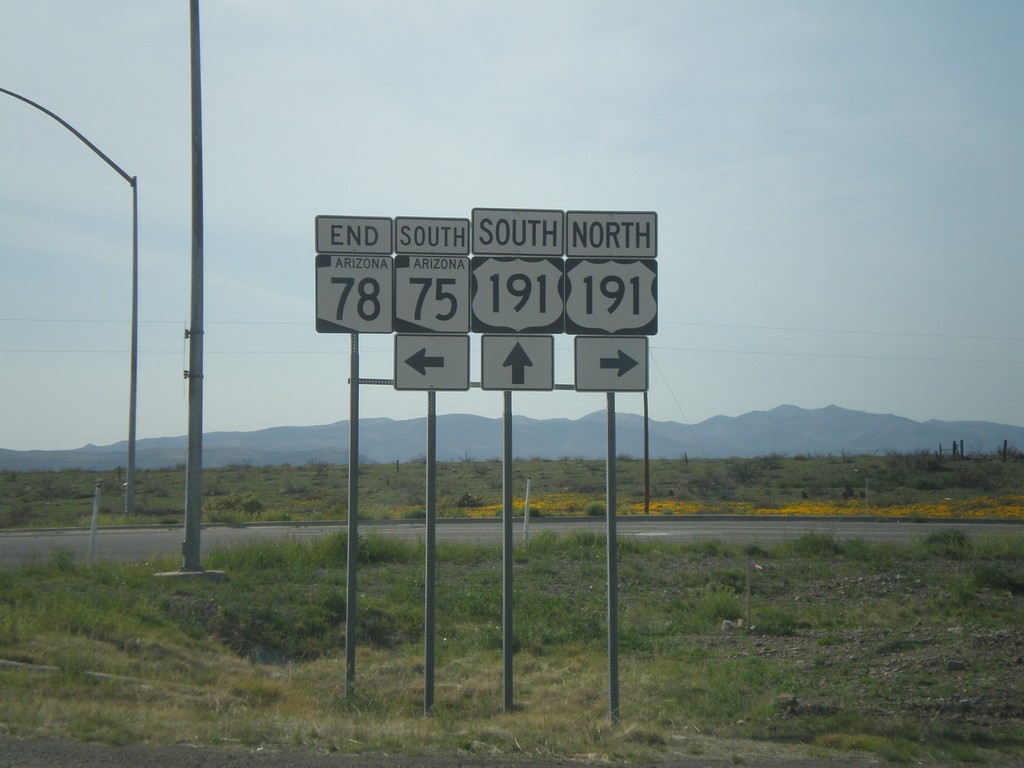
End AZ-78 West at AZ-75 and US-191
End AZ-78 west at AZ-75 and US-191.
Taken 03-21-2010


 Clifton
Greenlee County
Arizona
United States
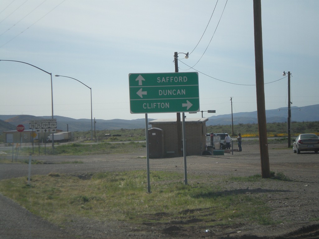
End AZ-78 West at US-191/AZ-75
End AZ-78 west at US-191/AZ-75. Use US-191 north for Clifton. Use US-191 south for Safford. Use AZ-75 south for Duncan.
Taken 03-21-2010


 Clifton
Greenlee County
Arizona
United States
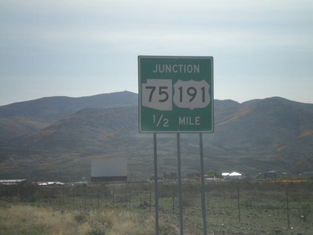
AZ-78 West Approaching US-191/AZ-75
AZ-78 west approaching US-191 and AZ-75.
Taken 03-21-2010


 Three Way
Greenlee County
Arizona
United States
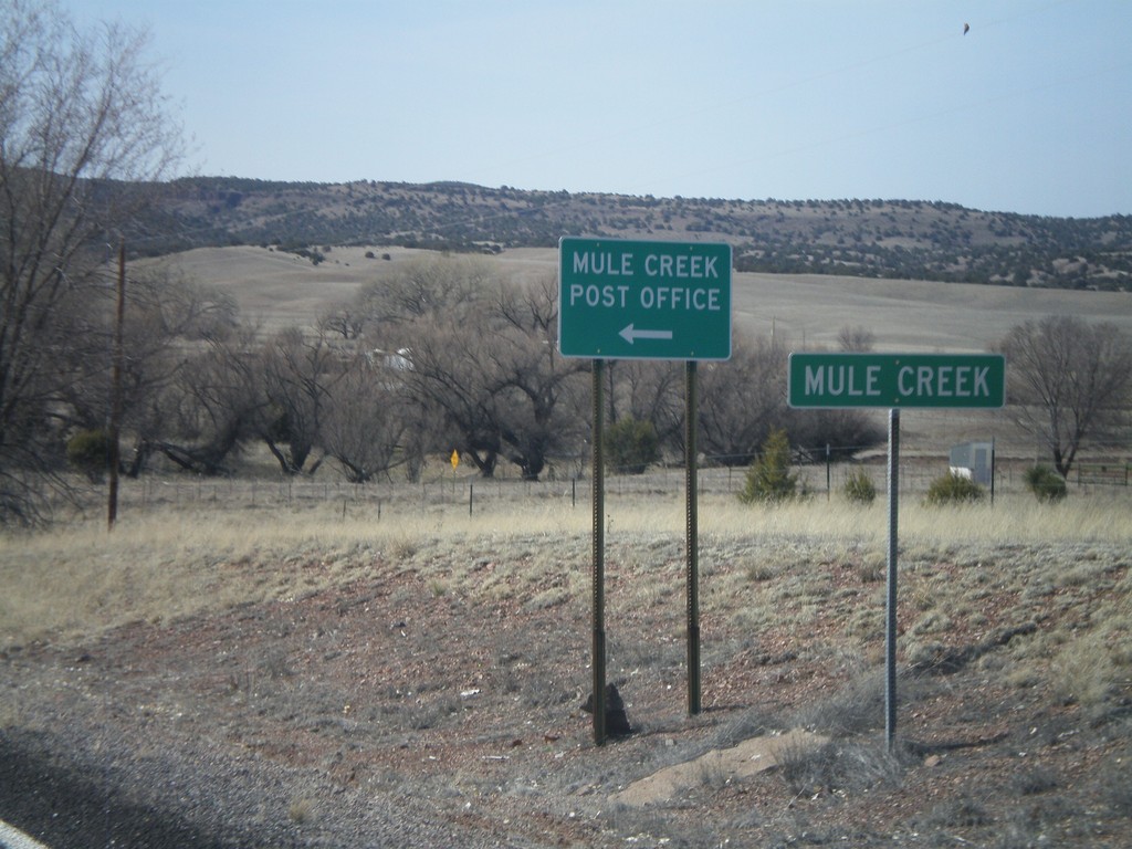
NM-78 West - Mule Creek
Entering the community of Mule Creek on NM-78 west.
Taken 03-21-2010
 Mule Creek
Grant County
New Mexico
United States
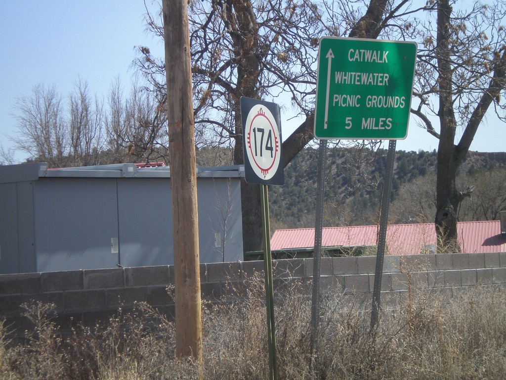
NM-174 East
NM-174 east at US-180. Use NM-174 east for the Catwalk, and Whitewater Picnic Grounds.
Taken 03-21-2010

 Mogollon
Catron County
New Mexico
United States