Signs Tagged With Intersection
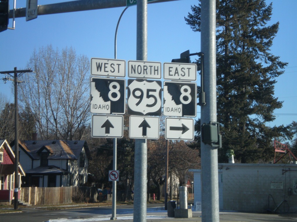
US-95 North At ID-8 East
US-95 north at ID-8 east. ID-8 west joins US-95 into downtown Moscow.
Taken 12-26-2009

 Moscow
Latah County
Idaho
United States
Moscow
Latah County
Idaho
United States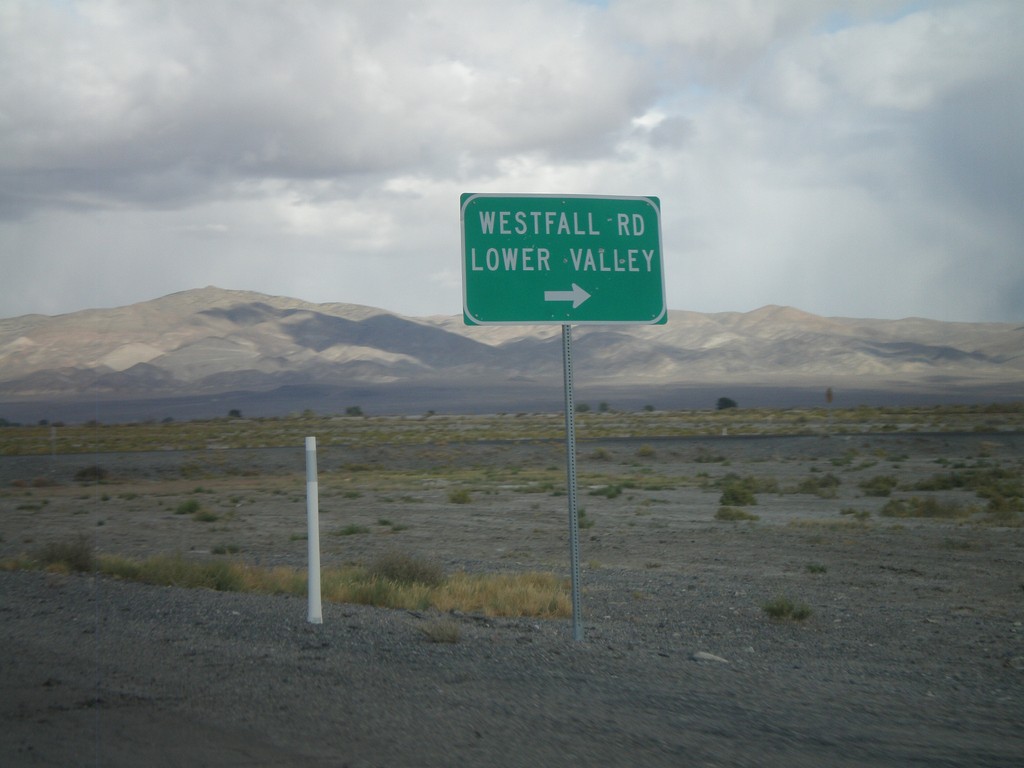
I-80 Frontage Road East at Westfall Road
Pershing County I-80 Frontage Road (FR PE01) east approaching Westfall Road/Lower Valley.
Taken 10-04-2009
Lovelock Pershing County Nevada United States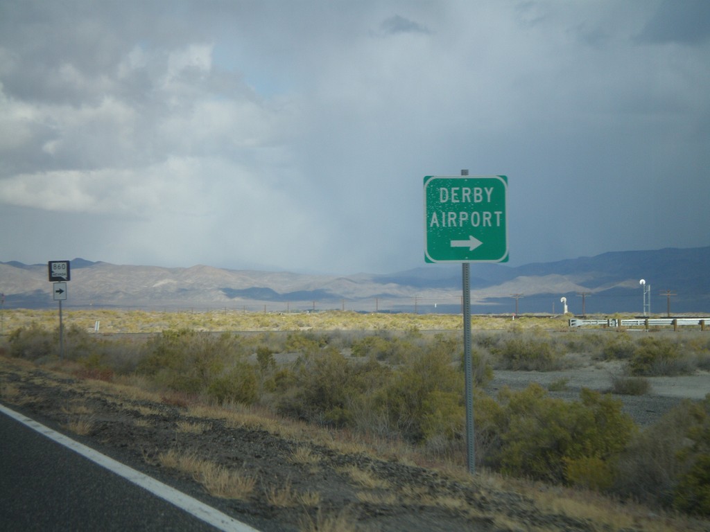
I-80 Frontage Road Approaching NV-860
Pershing County I-80 Frontage Road (FR PE01) east approaching NV-860 south to Derby Airport.
Taken 10-04-2009
 Lovelock
Pershing County
Nevada
United States
Lovelock
Pershing County
Nevada
United States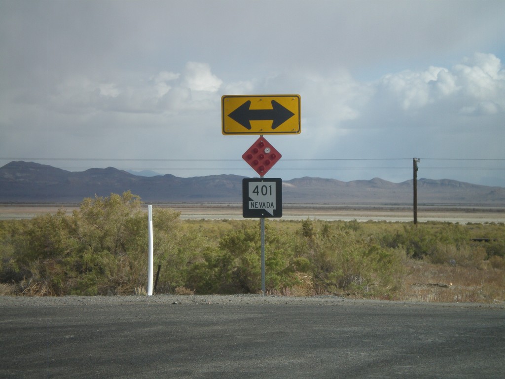
Ragged Road South at I-80 Frontage Road
Ragged Road south at I-80 Frontage Road. The Frontage Road is erroneously signed as NV-401, although this road is listed in the state reference as FR PE01. Also, NV-401 exists in northern Pershing County at Rye Patch Reservoir. This is the only instance of NV-401 shield along the Frontage Road.
Taken 10-04-2009
Lovelock Pershing County Nevada United States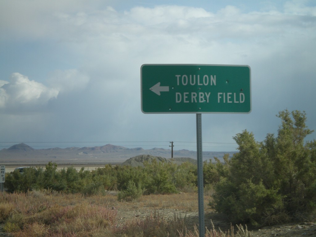
Ragged Road South at I-80 Frontage Road
Ragged Road south of I-80 Exit 93 at I-80 Frontage Road east to Toulon/Derby Field.
Taken 10-04-2009
Lovelock Pershing County Nevada United States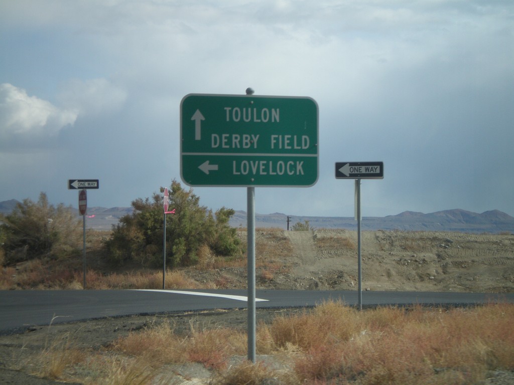
Ragged Road at I-80 East
Ragged Road south at I-80 Exit 93 (Toulon) westbound freeway entrance. Use I-80 west for Lovelock. Continue on Ragged Road for Toulon and Derby Field.
Taken 10-04-2009
 Lovelock
Pershing County
Nevada
United States
Lovelock
Pershing County
Nevada
United States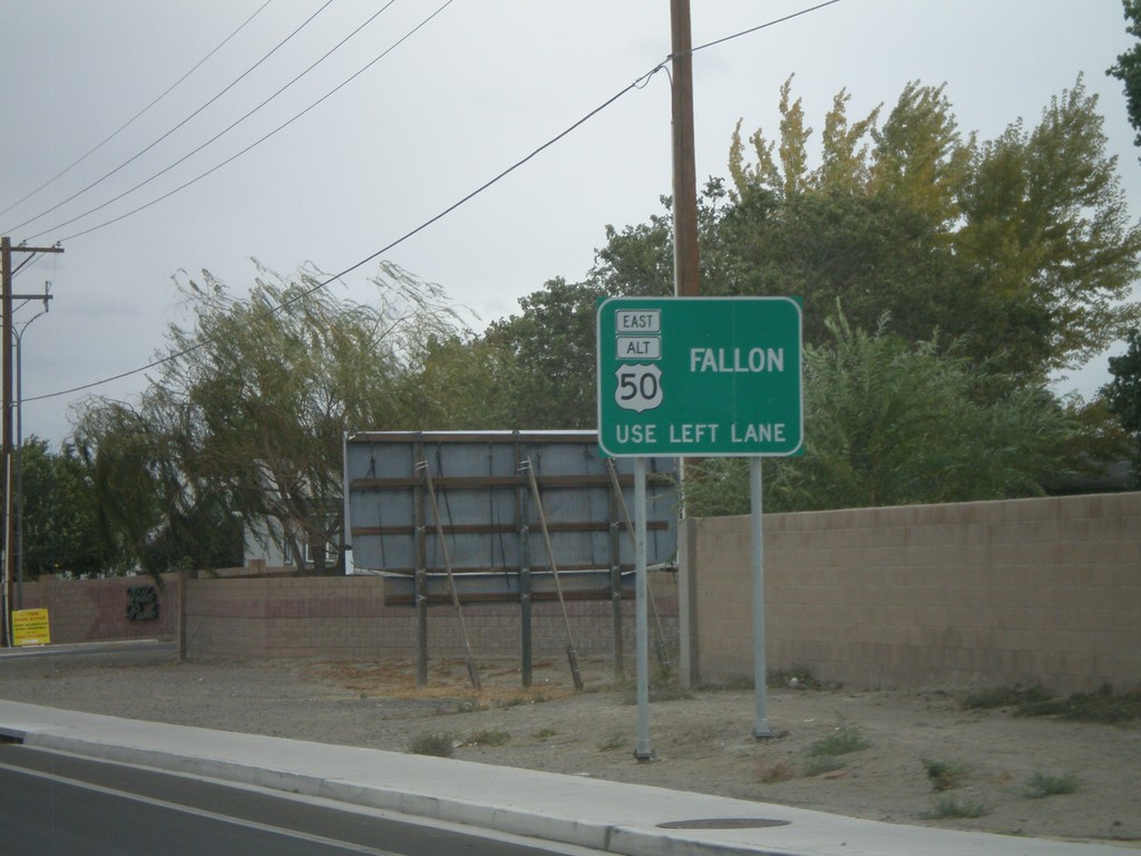
BL-80/Alt. US-95/Alt. US-50 Approaching Split
BL-80/Alt. US-50/Alt. US-95 approaching Alt. US-50 split. Stay in left lane for Alt. US-50 towards Fallon.
Taken 10-04-2009


 Fernley
Lyon County
Nevada
United States
Fernley
Lyon County
Nevada
United States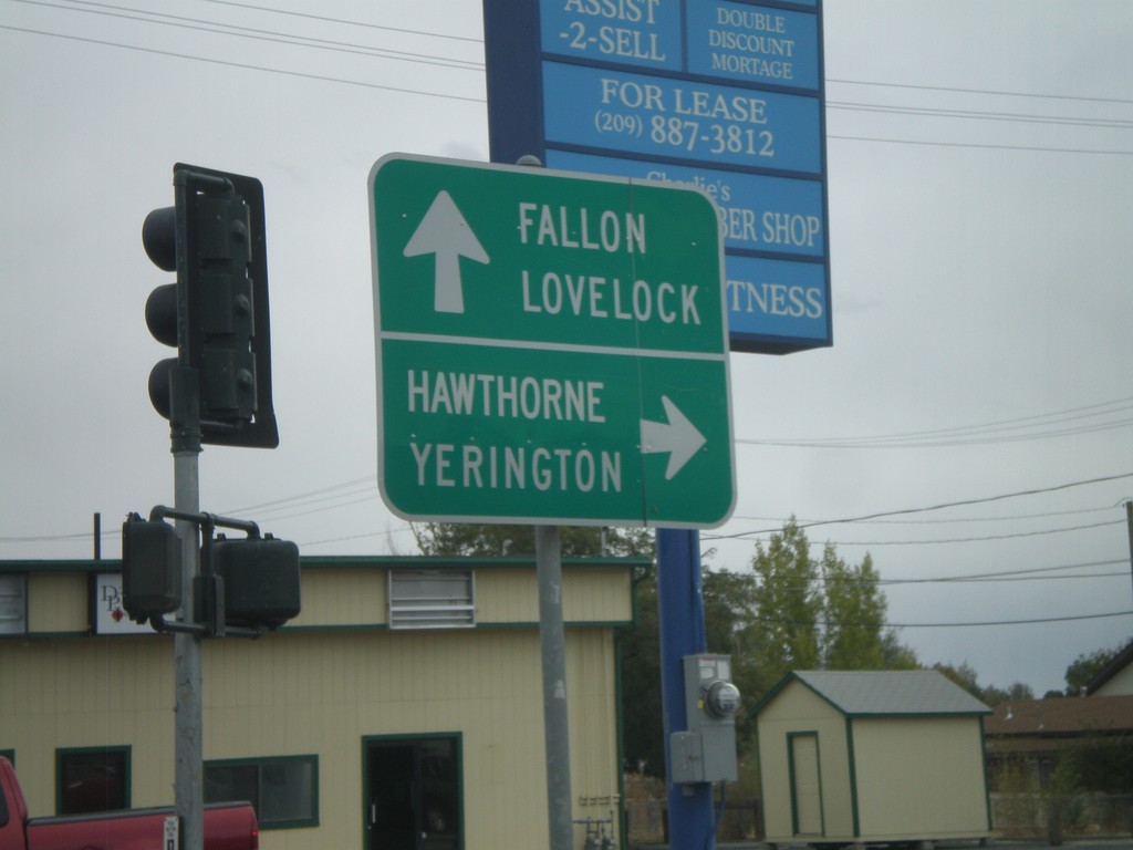
End NV-427 South at Alt. US-95 and Alt. US-50
End of NV-427 south at Alt. US-95/Alt. US-50 south to Hawthorne and Yerrington. BL-80 continues eastwards from NV-427 to Alt. US-95 North/Alt. US-50 East. Continue on BL-80 east for Fallon and Lovelock.
Taken 10-04-2009
 Fernley
Lyon County
Nevada
United States
Fernley
Lyon County
Nevada
United States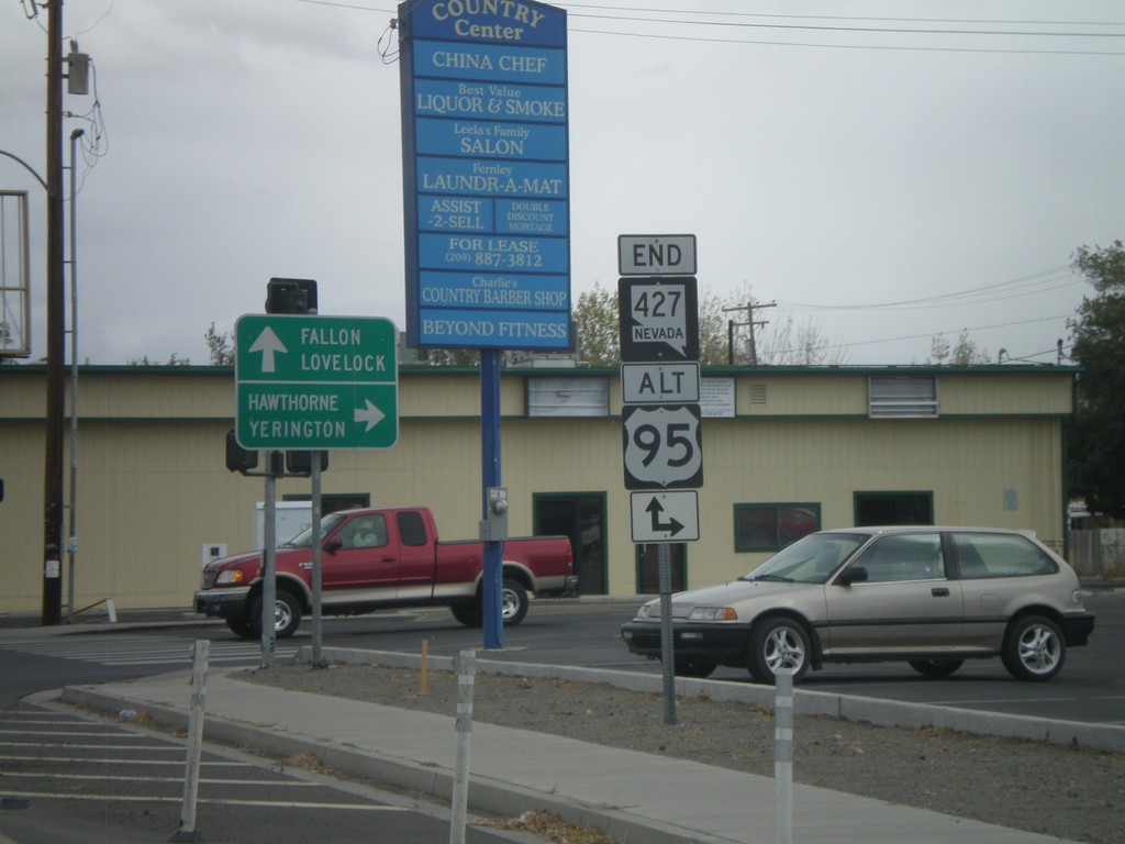
End NV-427 at Alt. US-95/Alt. US-50
End of NV-427 south at Alt. US-95/Alt. US-50 south to Hawthorne and Yerrington. Alt. US-50 is not signed at this intersection, but Alt. US-50 and Alt. US-95 are concurrent south of Fernley to Silver Springs at US-50 junction.
Taken 10-04-2009
Fernley
Lyon County
Nevada
United States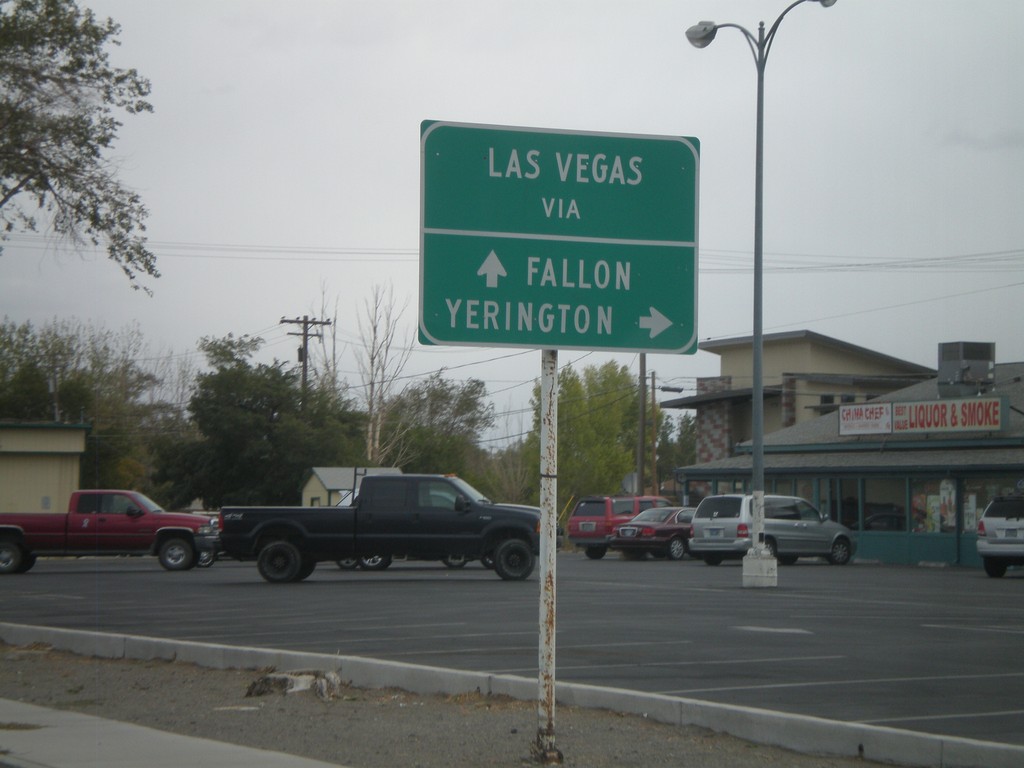
NV-427 South - Two Routes to Las Vegas
BL-80/NV-427 South approaching Alt. US-50/Alt. US-95. For Las Vegas via Yerrington, use Alt. US-95 South. For Las Vegas via Fallon, use Alt. US-50 East.
Taken 10-04-2009
Fernley
Lyon County
Nevada
United States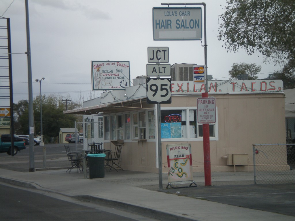
NV-427 South Approaching Alt. US-95/Alt. US-50
NV-427/BL-80 south approaching Alt. US-95/Alt. US-50. Alt. US-50 is not signed at this intersection.
Taken 10-04-2009
Fernley
Lyon County
Nevada
United States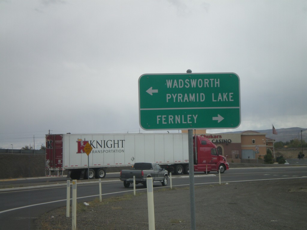
I-80 East Exit 46 Offramp at NV-427
I-80 east Exit 46 offramp at NV-427. Use NV-427 north for Wadsworth and Pyramid Lake. Use NV-427 south, also signed as BL-80 for Fernley.
Taken 10-04-2009
Fernley
Lyon County
Nevada
United States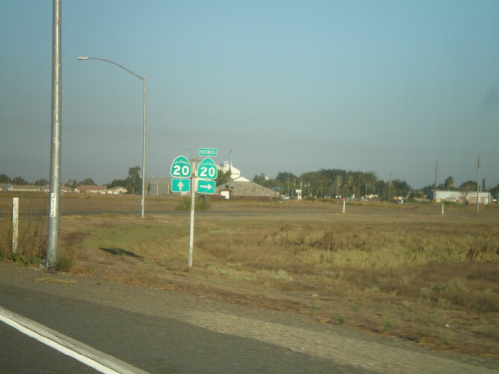
CA-20 East at Williams Business Loop
CA-20 East at Williams Business Loop, Bus. CA-20
Taken 09-25-2009

 Williams
Colusa County
California
United States
Williams
Colusa County
California
United States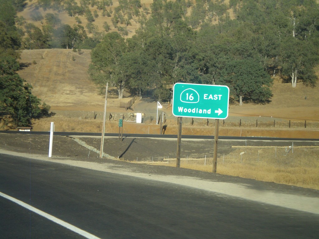
CA-20 East At CA-16 East
CA-20 east at CA-16 east to Woodland.
Taken 09-25-2009
 Williams
Colusa County
California
United States
Williams
Colusa County
California
United States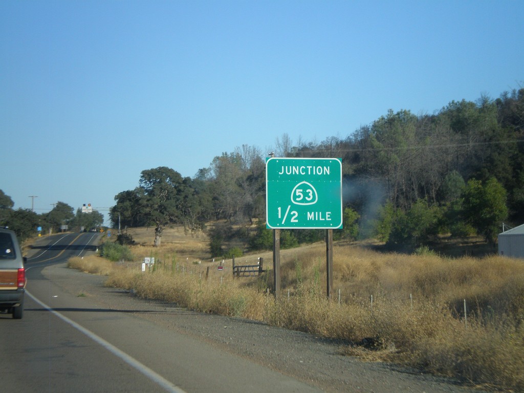
CA-20 East Approaching CA-53
CA-20 East approaching CA-53 south. CA-53 runs south along the east side of Clear Lake.
Taken 09-25-2009
 Clearlake Oaks
Lake County
California
United States
Clearlake Oaks
Lake County
California
United States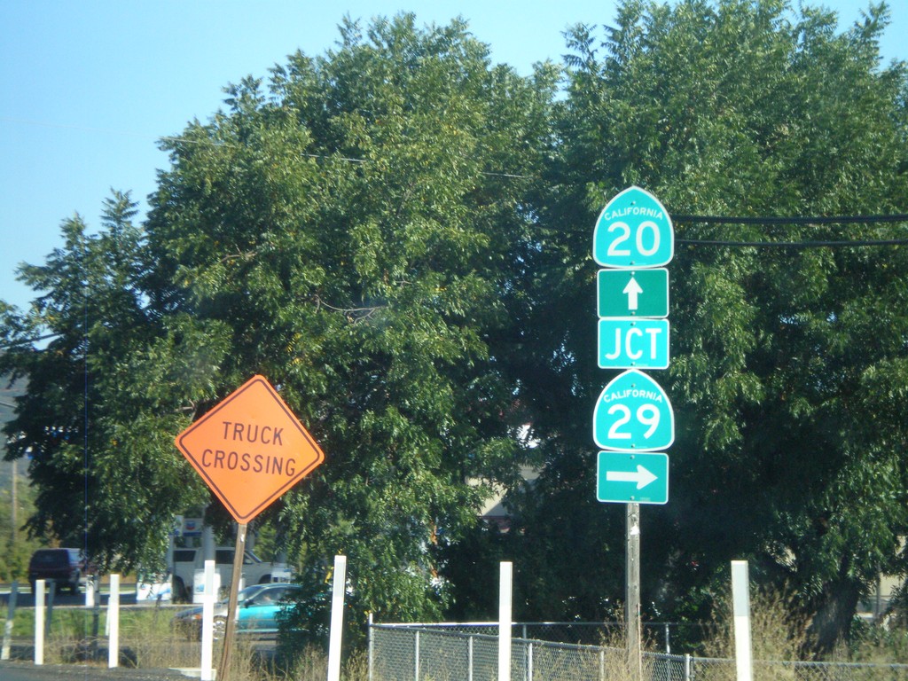
CA-20 East at CA-29
CA-20 east at CA-29 south.
Taken 09-25-2009
 Upper Lake
Lake County
California
United States
Upper Lake
Lake County
California
United States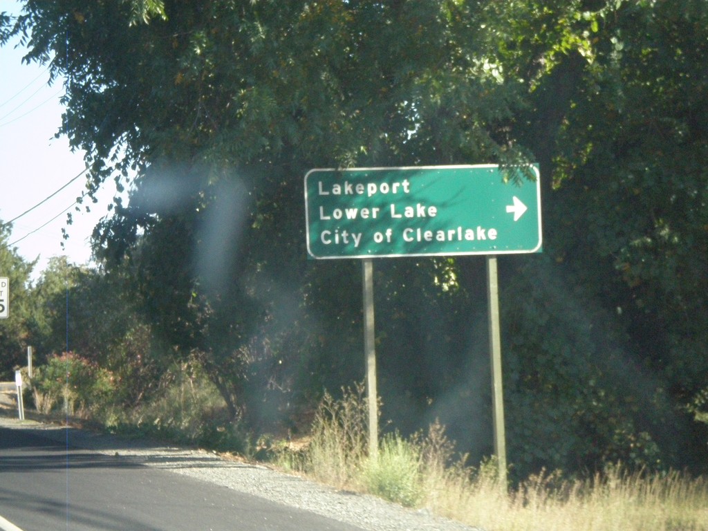
CA-20 East at CA-29 South
CA-20 east at CA-29 south to Lakeport, Lower Lake, and City of Clearlake
Taken 09-25-2009
Upper Lake
Lake County
California
United States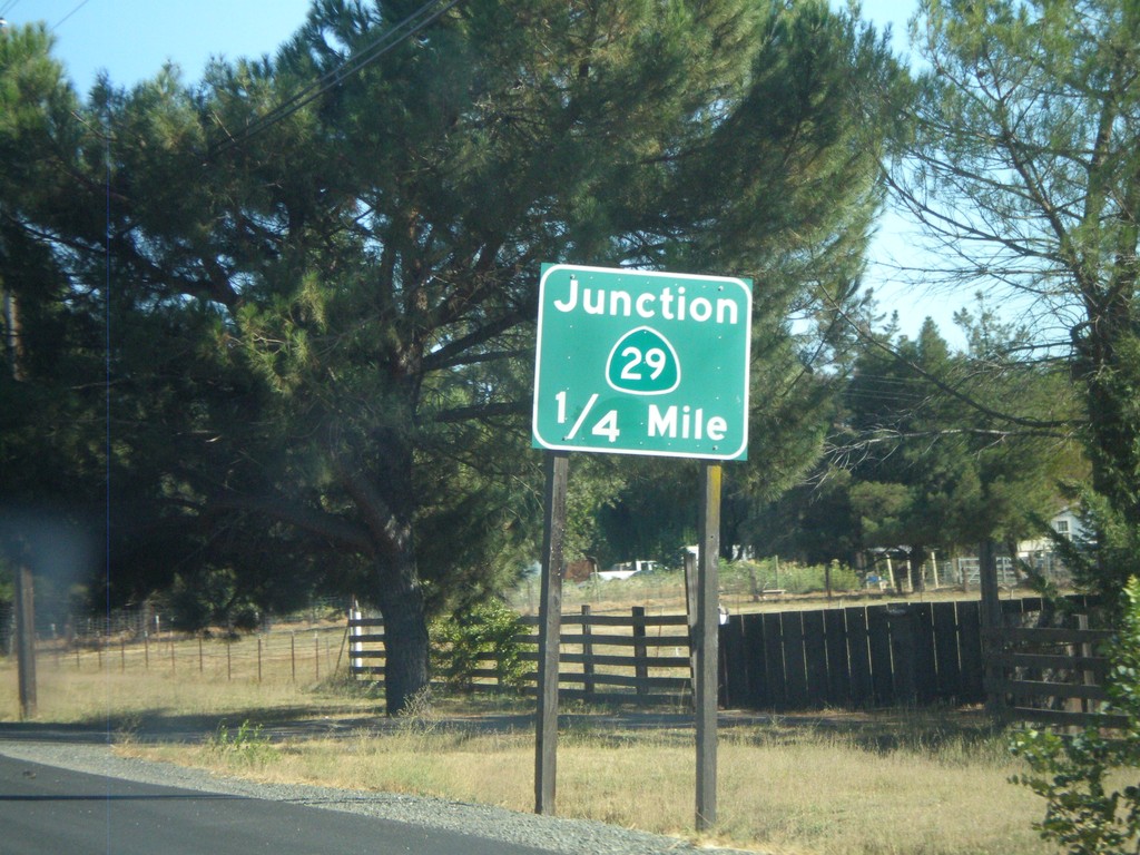
CA-20 East Approaching CA-29
CA-20 east approaching CA-29
Taken 09-25-2009
Upper Lake
Lake County
California
United States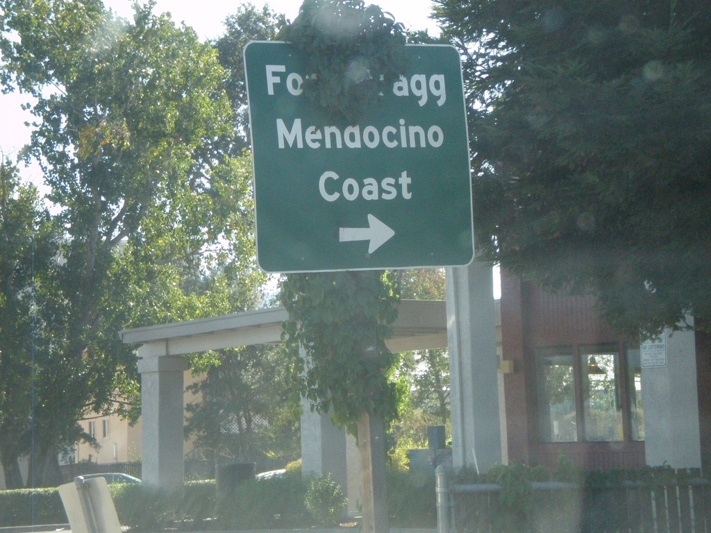
US-101 South at CA-20 West
US-101 south at CA-20 west to Fort Bragg and the Mendocino Coast. CA-20 joins US-101 south to Calpella.
Taken 09-25-2009
 Willits
Mendocino County
California
United States
Willits
Mendocino County
California
United States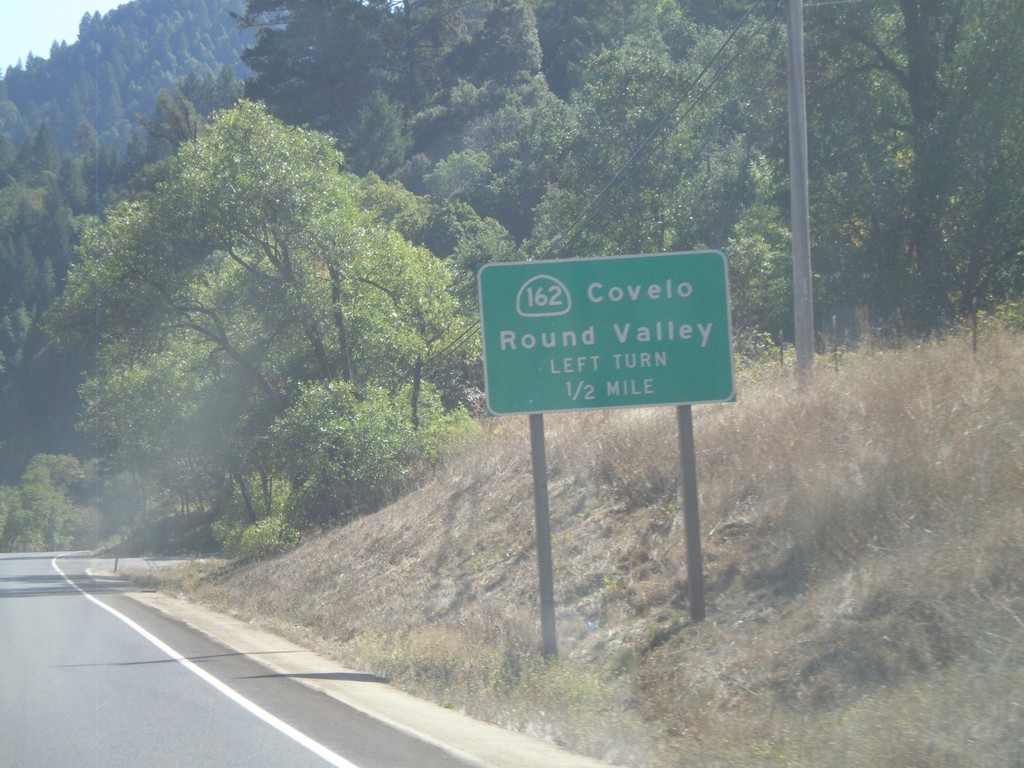
US-101 South Approaching CA-162
US-101 south approaching CA-162 east to Covelo and Round Valley.
Taken 09-25-2009
 Willits
Mendocino County
California
United States
Willits
Mendocino County
California
United States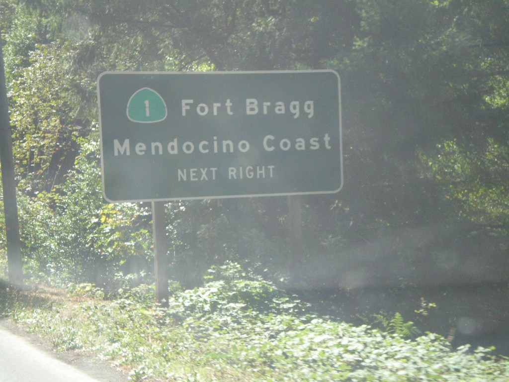
US-101 South Approaching CA-1
US-101 south approaching CA-1/Fort Bragg/Mendocino Coast.
Taken 09-25-2009
 Leggett
Mendocino County
California
United States
Leggett
Mendocino County
California
United States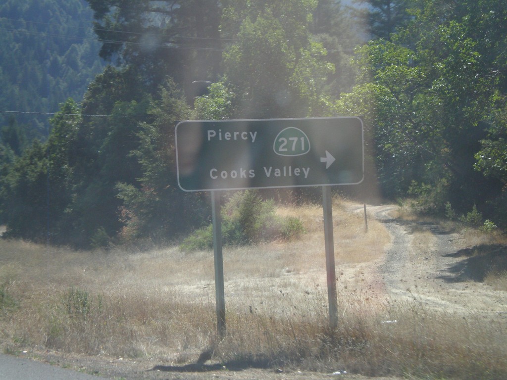
US-101 South at CA-271
US-101 south at CA-271/Piercy/Cooks Valley
Taken 09-25-2009
 Garberville
Humboldt County
California
United States
Garberville
Humboldt County
California
United States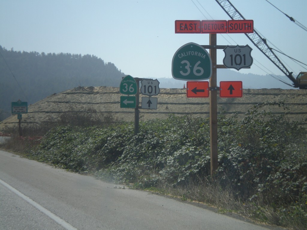
US-101 South Approaching CA-36
US-101 south approaching CA-36 east. This intersection was being upgraded to an interchange when this photo was taken.
Taken 09-25-2009
 Fortuna
Humboldt County
California
United States
Fortuna
Humboldt County
California
United States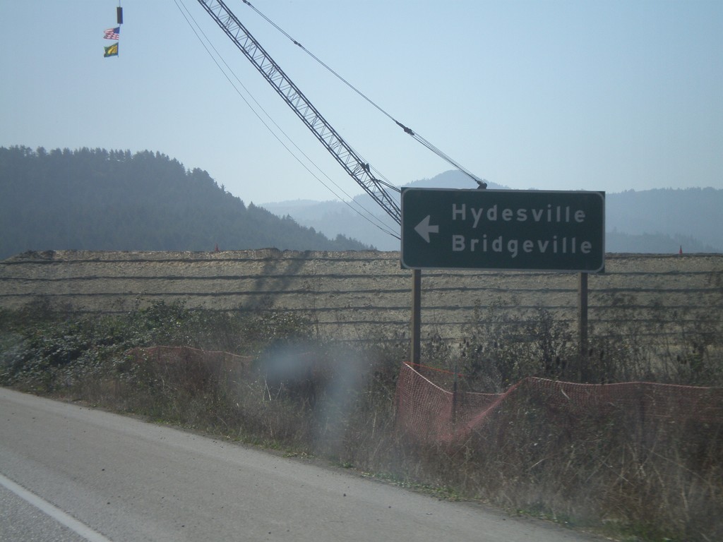
US-101 South at CA-36
US-101 south atCA-36 east to Hydesville and Bridgeville.
Taken 09-25-2009
Fortuna
Humboldt County
California
United States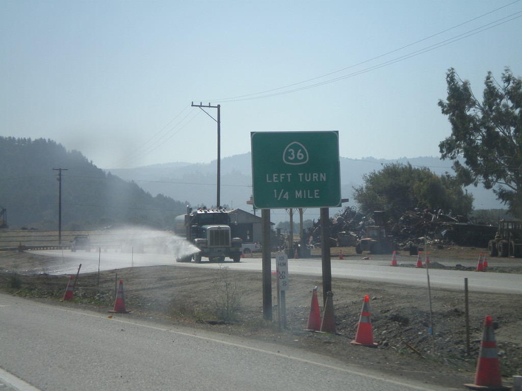
US-101 South Approaching CA-36
US-101 south approaching CA-36 east.
Taken 09-25-2009
Fortuna
Humboldt County
California
United States