Signs Tagged With Intersection
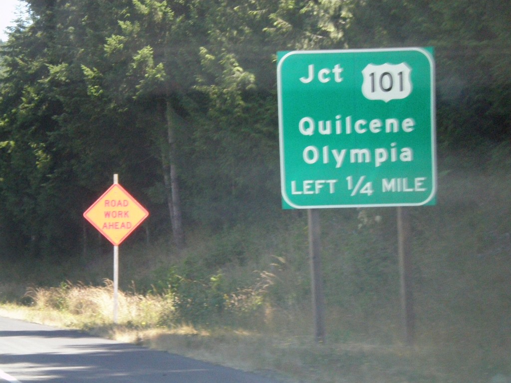
WA-104 West Approaching US-101
WA-104 west approaching US-101/Quilcene/Olympia
Taken 07-24-2008

 Quilcene
Jefferson County
Washington
United States
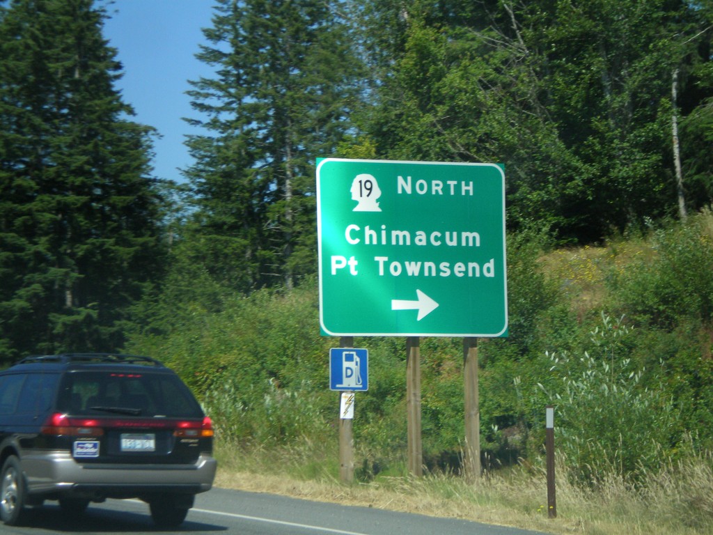
WA-104 West Approaching WA-19
WA-104 west approaching WA-19 North/Chimacum/Port Townsend
Taken 07-24-2008

 Port Ludlow
Jefferson County
Washington
United States
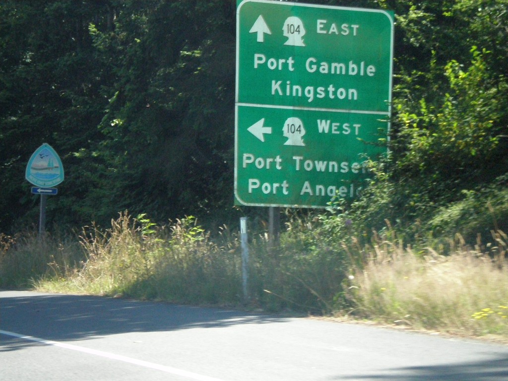
End WA-3 North at WA-104
End WA-3 north at WA-104. WA-104 East to Port Gamble and Kingston. WA-104 West to Port Townsend and Port Angeles.
Taken 07-24-2008

 Poulsbo
Kitsap County
Washington
United States
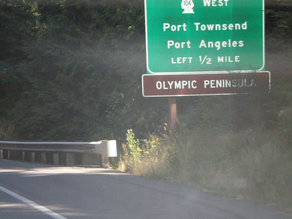
WA-3 North Approaching WA-104
WA-3 north approaching WA-104 West/Port Townsend/Port Angeles. Use WA-104 west for the Olympic Peninsula.
Taken 07-24-2008

 Poulsbo
Kitsap County
Washington
United States
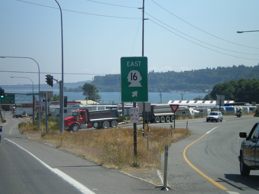
WA-3 North at WA-16 East
WA-3 north at WA-16 east
Taken 07-24-2008

 Bremerton
Kitsap County
Washington
United States
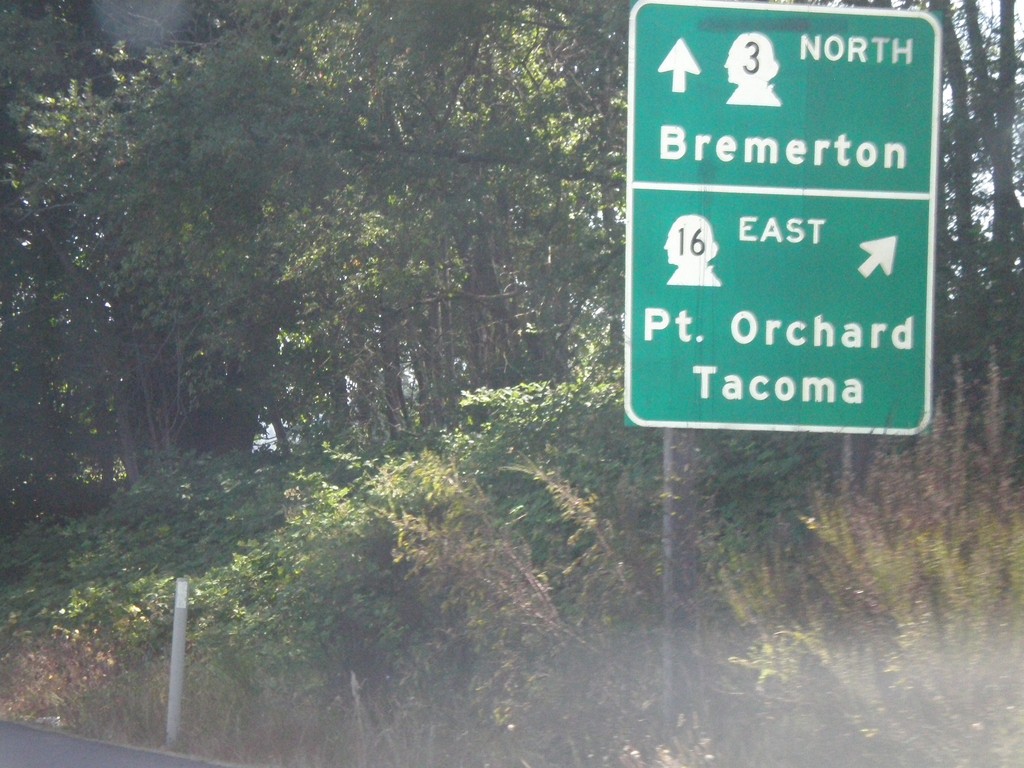
WA-3 North at WA-16 East
WA-3 north at WA-16 east to Port Orchard and Tacoma
Taken 07-24-2008

 Bremerton
Kitsap County
Washington
United States
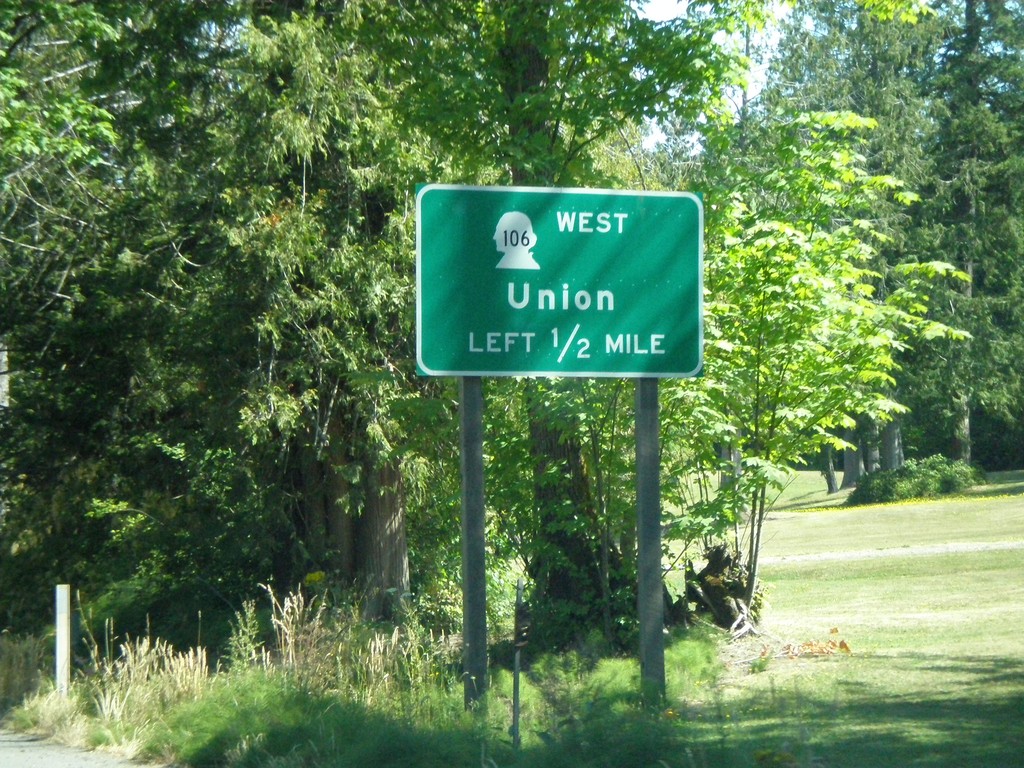
WA-3 North Approaching WA-106
WA-3 north approaching WA-106 west to Union
Taken 07-24-2008

 Belfair
Mason County
Washington
United States
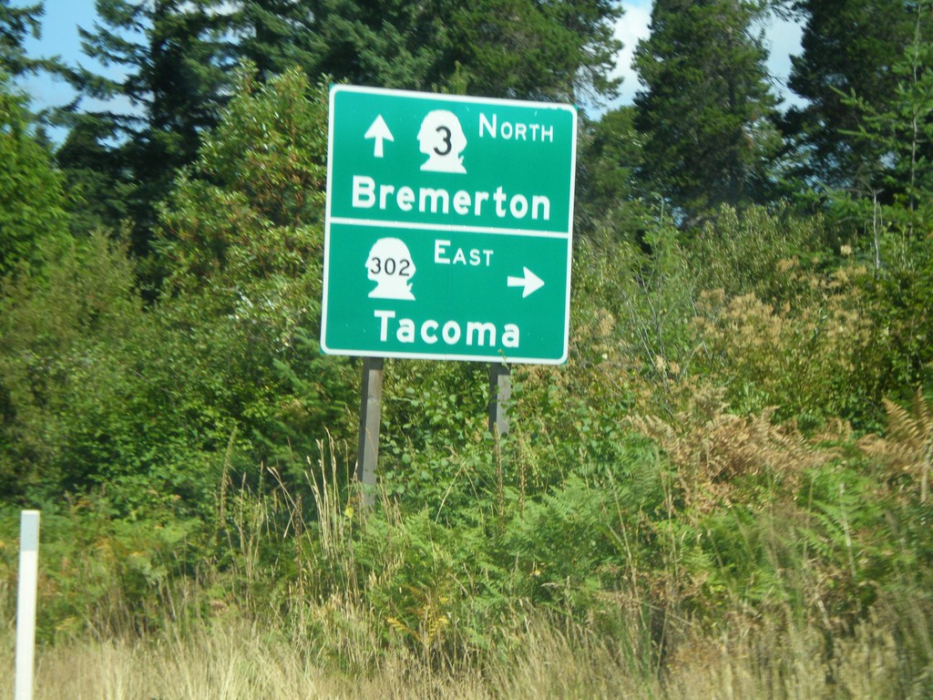
WA-3 North at WA-302 East
WA-3 north at WA-302 east to Tacoma
Taken 07-24-2008

 Belfair
Mason County
Washington
United States
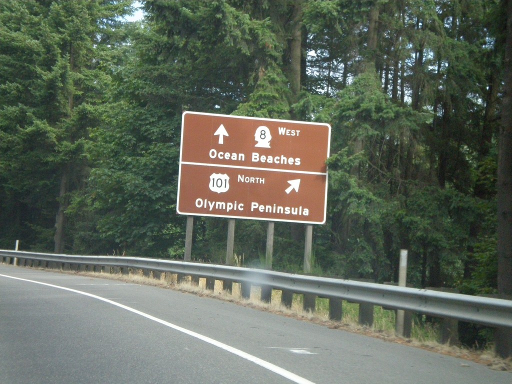
US-101 North Approaching WA-8 Exit
US-101 north approaching WA-8 west. Use WA-8 West for Ocean Beaches. Use US-101 North for Olympic Peninsula.
Taken 07-24-2008

 Olympia
Thurston County
Washington
United States
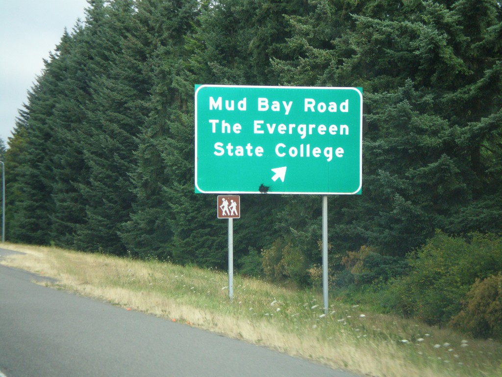
US-101 North - Mud Bay Road Exit
US-101 north at Mud Bay Road/The Evergreen State College exit.
Taken 07-24-2008
 Olympia
Thurston County
Washington
United States
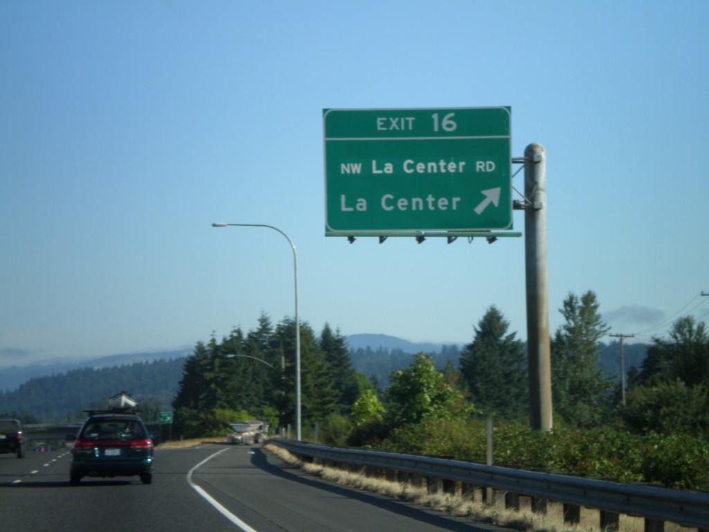
I-5 North - Exit 16
I-5 north at Exit 16 - NW La Center Road/La Center
Taken 07-24-2008
 Ridgefield
Clark County
Washington
United States
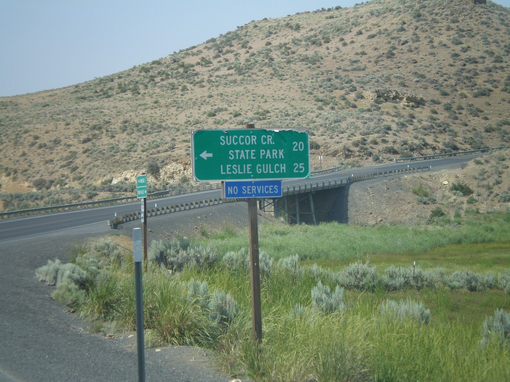
US-95 North at Succor Creek
US-95 north at turnoff to Succor Creek State Park and Leslie Gulch.
Taken 07-07-2008
 Sheaville
Malheur County
Oregon
United States
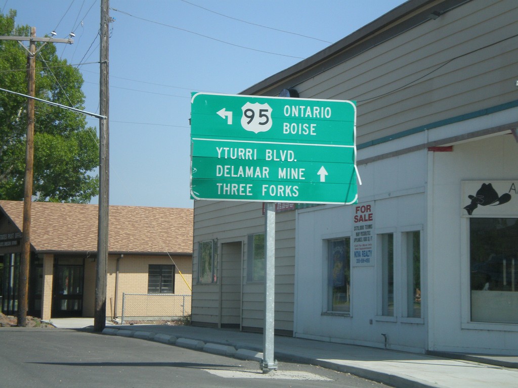
US-95 North in Jordan Valley
US-95 north (Main St.) at Bassett St. Turn north to continue on US-95 north to Ontario and Boise.
Taken 07-07-2008
 Jordan Valley
Malheur County
Oregon
United States
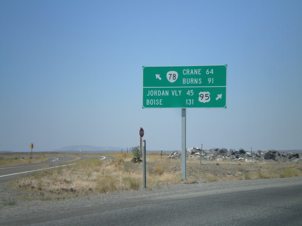
US-95 North at OR-78 West
US-95 north at OR-78 west. Merge left for OR-78 to Burns and Crane. Merge right for US-95 to Jordan Valley and Boise.
Taken 07-07-2008

 Jordan Valley
Malheur County
Oregon
United States
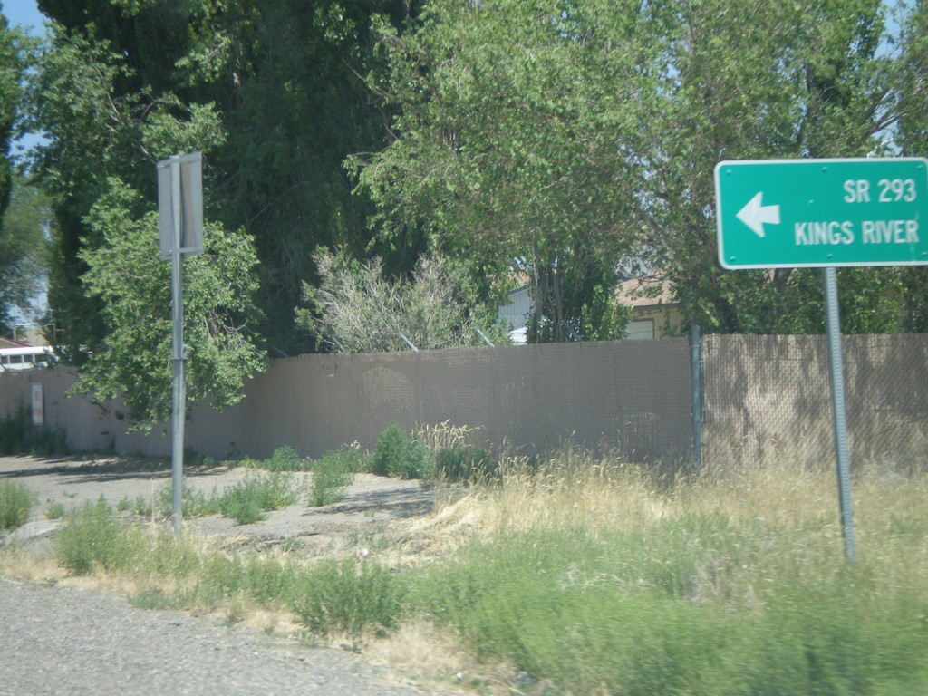
US-95 North at NV-293
US-95 north at NV-293 west to Kings River. The only mention of NV-293 is the text on the destination sign "SR-293." There are no NV-293 guide signs approaching this junction from either direction. Must Nevada junctions have advanced signage with proper route shields.
Taken 07-07-2008

 Winnemucca
Humboldt County
Nevada
United States
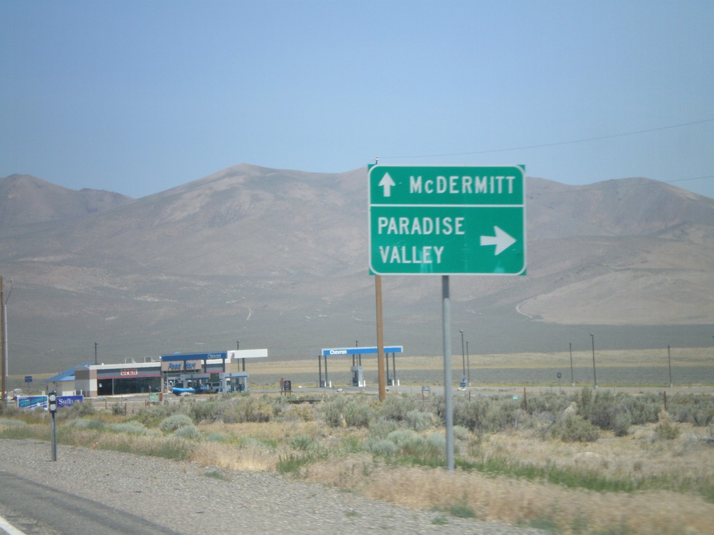
US-95 North Approaching NV-290
US-95 north at NV-290 north to Paradise Valley.
Taken 07-07-2008

 Winnemucca
Humboldt County
Nevada
United States
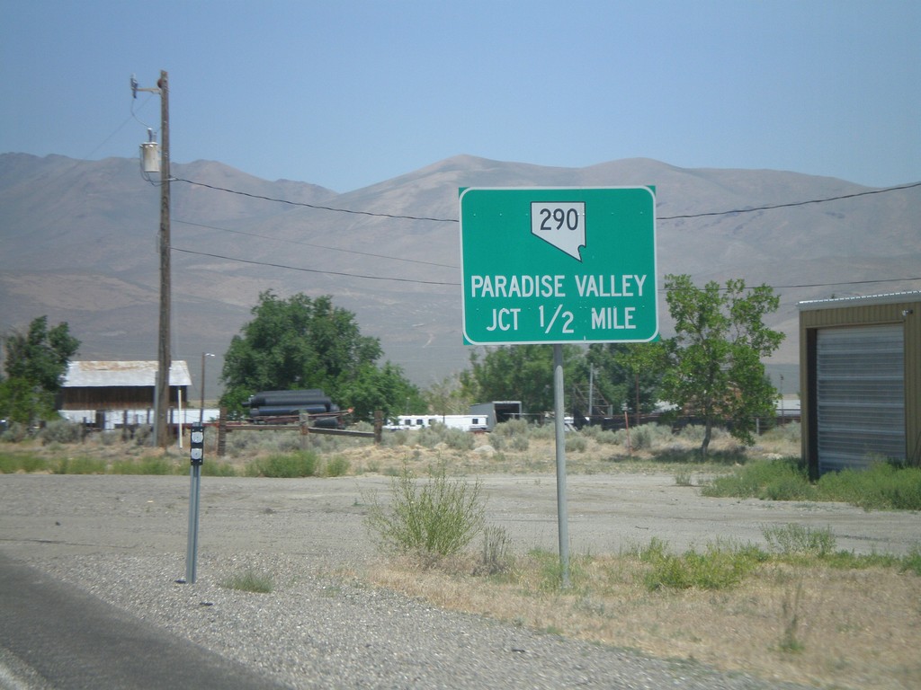
US-95 North at NV-290
US-95 north approaching NV-290 to Paradise Valley.
Taken 07-07-2008

 Winnemucca
Humboldt County
Nevada
United States
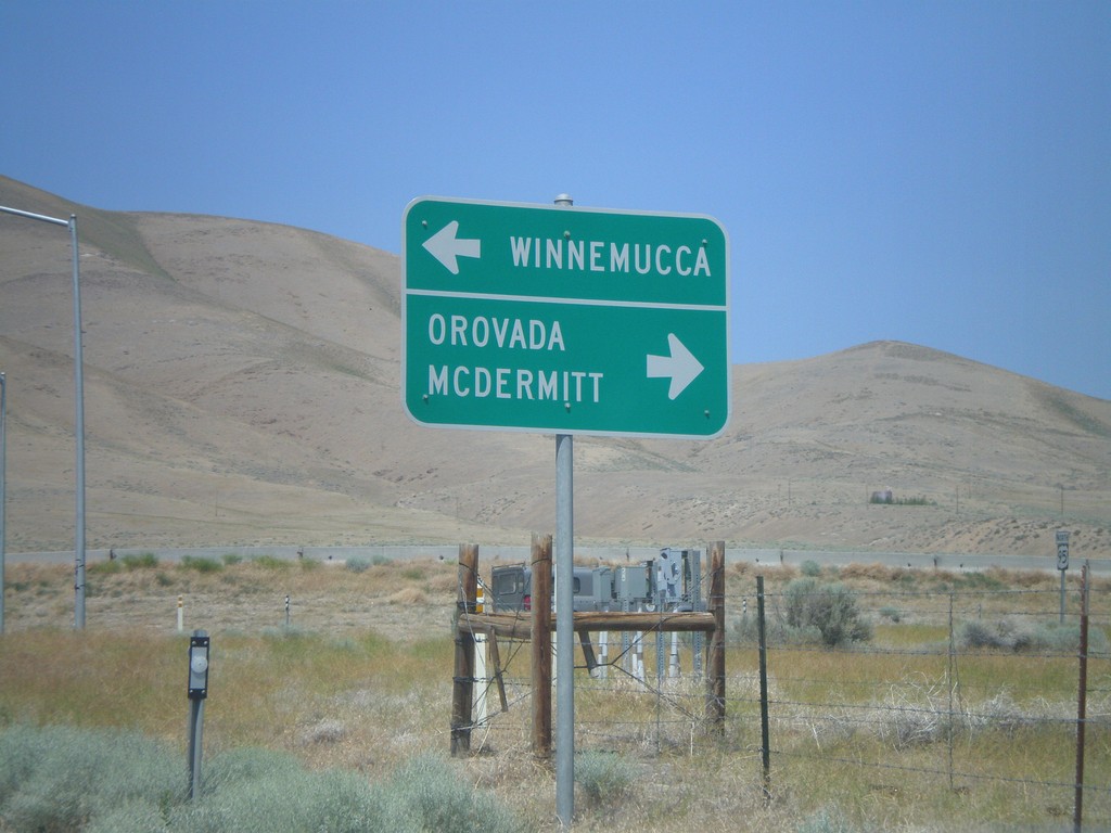
End NV-795 West at US-95
End NV-795 west at US-95 north to Orovada and McDermitt, and US-95 south to Winnemucca.
Taken 07-07-2008

 Winnemucca
Humboldt County
Nevada
United States
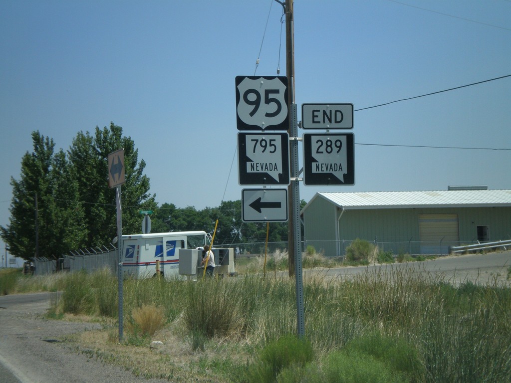
End NV-289 at NV-795 to US-95
End NV-289 east at NV-795 to US-95.
Taken 07-07-2008


 Winnemucca
Humboldt County
Nevada
United States
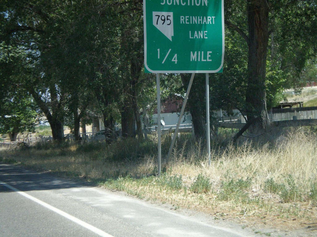
NV-289 Approaching NV-795
End NV-289 approaching NV-795/Reinhart Lane
Taken 07-07-2008

 Winnemucca
Humboldt County
Nevada
United States
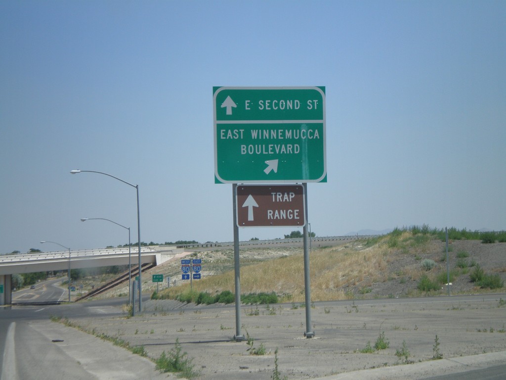
BL-80/NV-289 at NV-794
BL-80/NV-289 (E. Second St.) at NV-794 (East Winnemucca Blvd.)
Taken 07-07-2008


 Winnemucca
Humboldt County
Nevada
United States
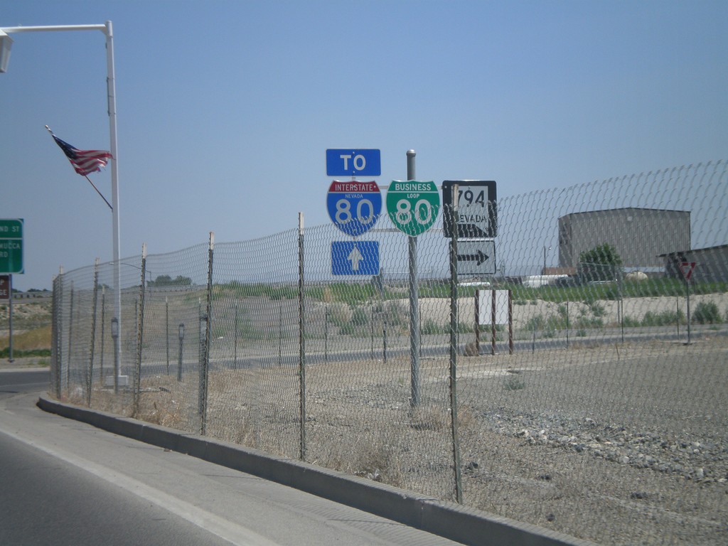
BL-80/NV-289 East at NV-794
BL-80/NV-289 east at NV-794. Continue on BL-80/NV-289 for I-80.
Taken 07-07-2008


 Winnemucca
Humboldt County
Nevada
United States
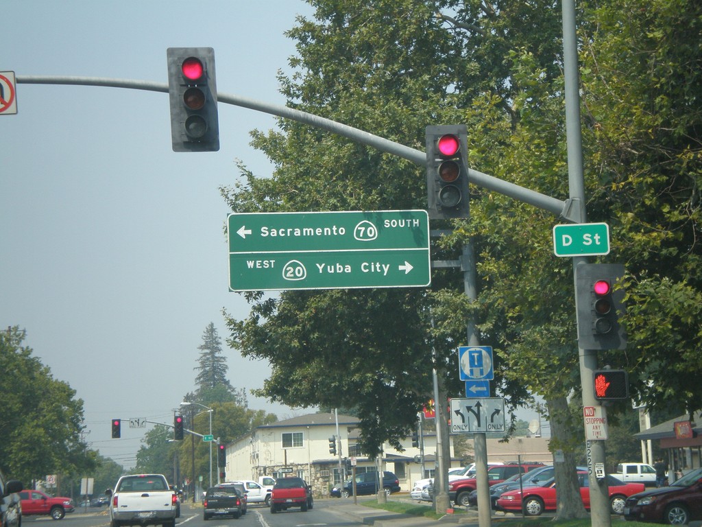
CA-70 South/CA-20 West Split
CA-70 South/CA-20 West at split. Turn left for CA-70 South to Sacramento. Turn right for CA-20 west to Yuba City.
Taken 07-06-2008

 Marysville
Yuba County
California
United States
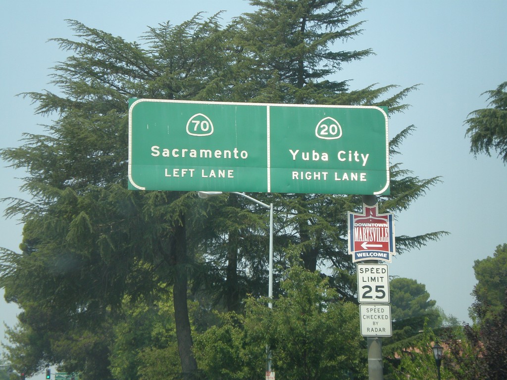
CA-70 South/CA-20 West Split
CA-70 South/CA-20 West approaching split. Use left lane for CA-70 south to Sacramento. Use right lane for CA-20 west to Yuba City.
Taken 07-06-2008

 Marysville
Yuba County
California
United States
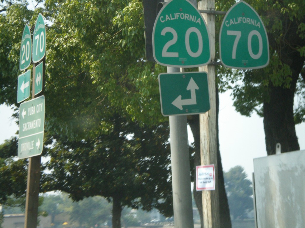
CA-70 South at CA-20 East
CA-70 south at CA-20. CA-20 joins CA-70 south for a few blocks through Marysville.
Taken 07-06-2008

 Marysville
Yuba County
California
United States