Signs Tagged With Intersection
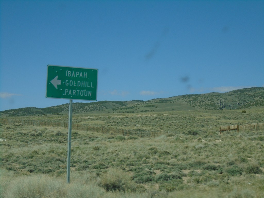
Alt. US-93 South at Ibapah Junction
Alt. US-93 South at junction to Ibapah, Goldhill, and Partoun.
Taken 04-26-2019
 Elko County
Nevada
United States
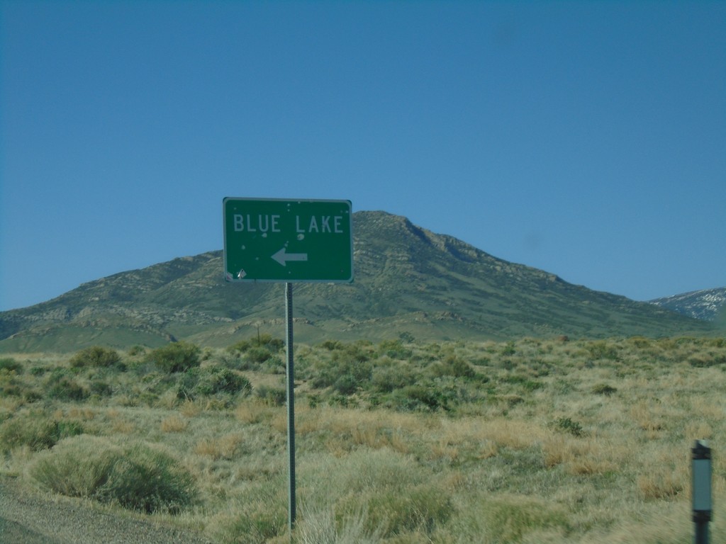
US-93 Alt. South Approaching Blue Lake Junction
US-93 Alt. South approaching Blue Lake Junction. Blue Lake is a popular spot for scuba divers.
Taken 04-26-2019
 Elko County
Nevada
United States
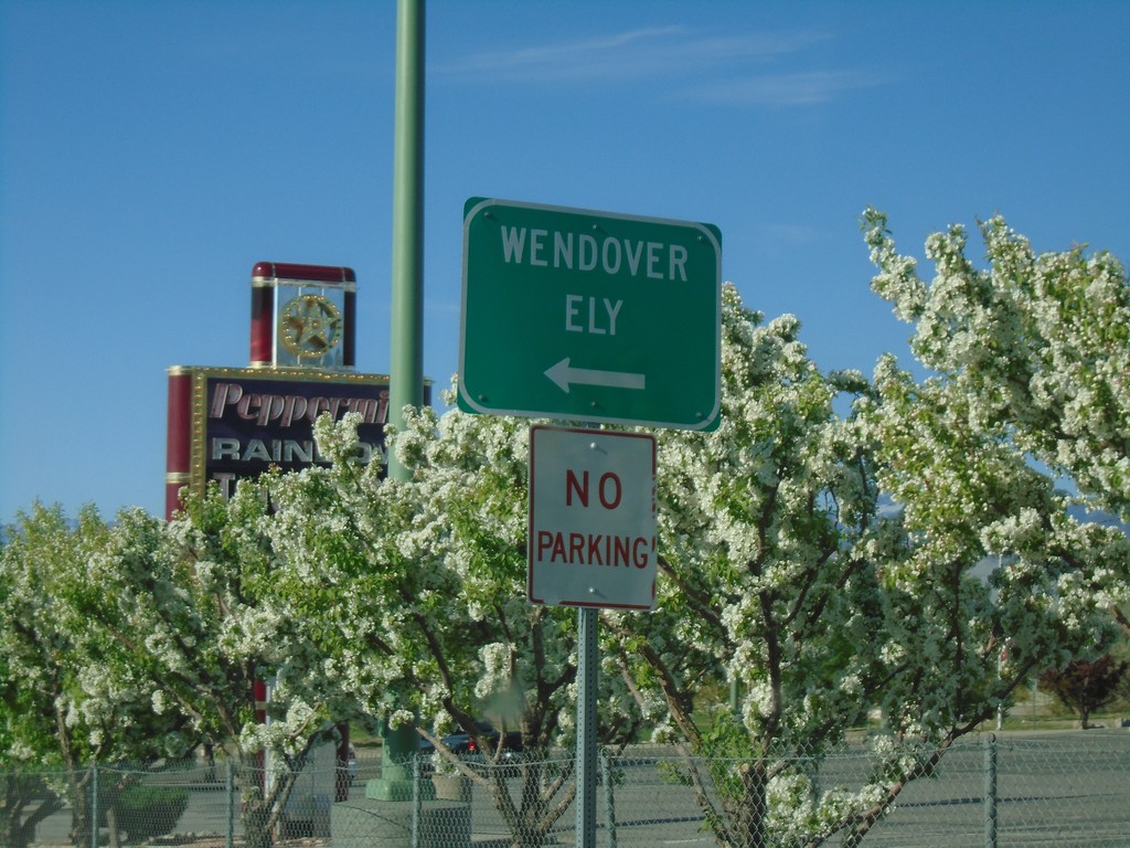
US-93 Alt. South/BL-80 East at Wendover Blvd.
US-93 Alt. South/BL-80 East at Wendover Blvd. Turn left on Wendover Blvd. for Wendover and Ely and to continue on US-93 Alt. and BL-80.
Taken 04-26-2019

 West Wendover
Elko County
Nevada
United States
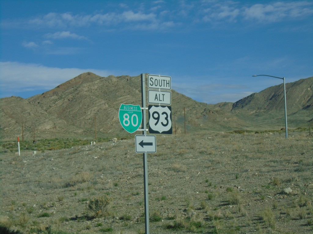
I-80 West - Exit 410 Offramp
Offramp at I-80 West Exit 410. Turn left for BL-80 and south US-93 Alt.
Taken 04-26-2019


 West Wendover
Elko County
Nevada
United States
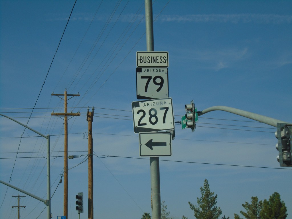
AZ-79 North at AZ-287/Bus. AZ-79
AZ-79 North at AZ-287/Bus. AZ-79 (Butte Ave.) in Florence.
Taken 03-24-2019


 Florence
Pinal County
Arizona
United States
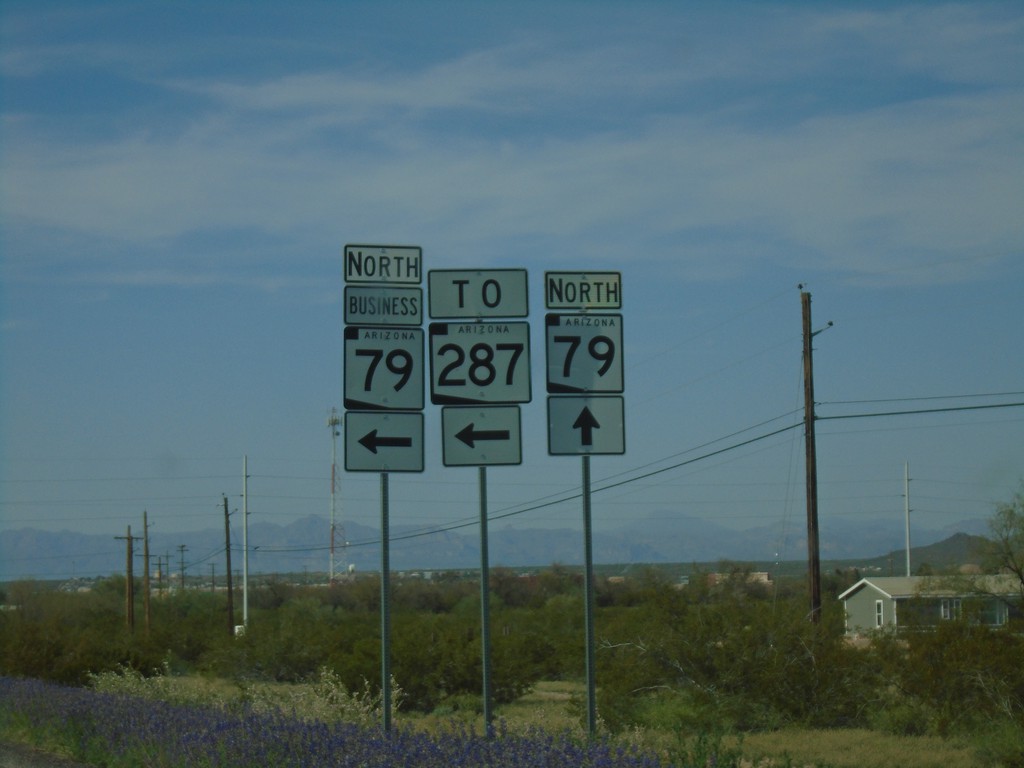
AZ-79 North at Bus. AZ-79/AZ-287
AZ-79 North at Bus. AZ-79/AZ-287 in Florence.
Taken 03-24-2019


 Florence
Pinal County
Arizona
United States
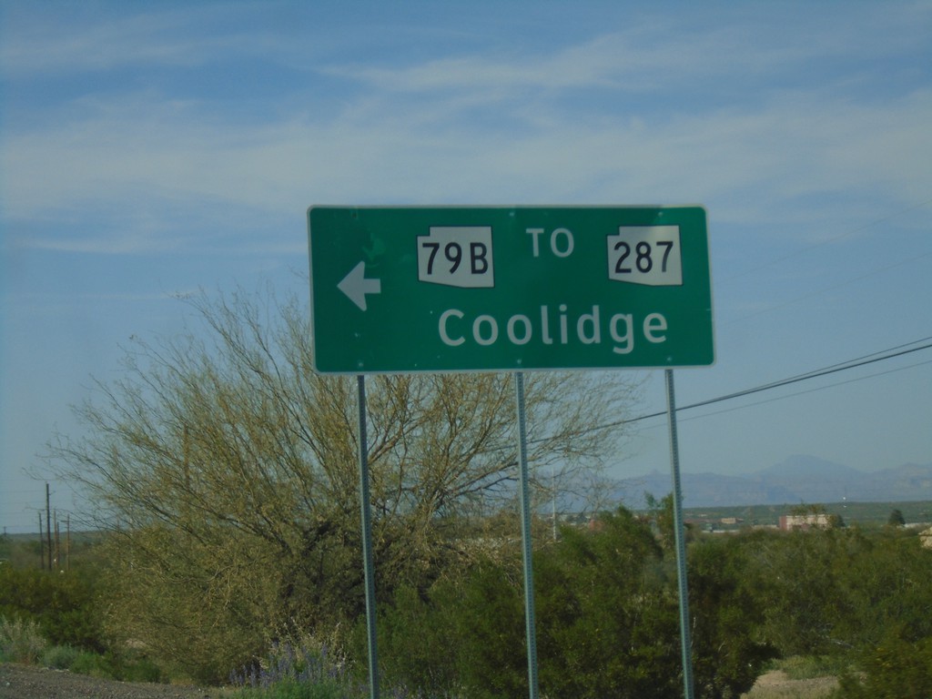
AZ-79 North at Bus. AZ-79/To AZ-287
AZ-79 North at Bus. AZ-79/To AZ-287 in Florence. Turn left for AZ-79 Bus./To AZ-287 to Coolidge.
Taken 03-24-2019


 Florence
Pinal County
Arizona
United States
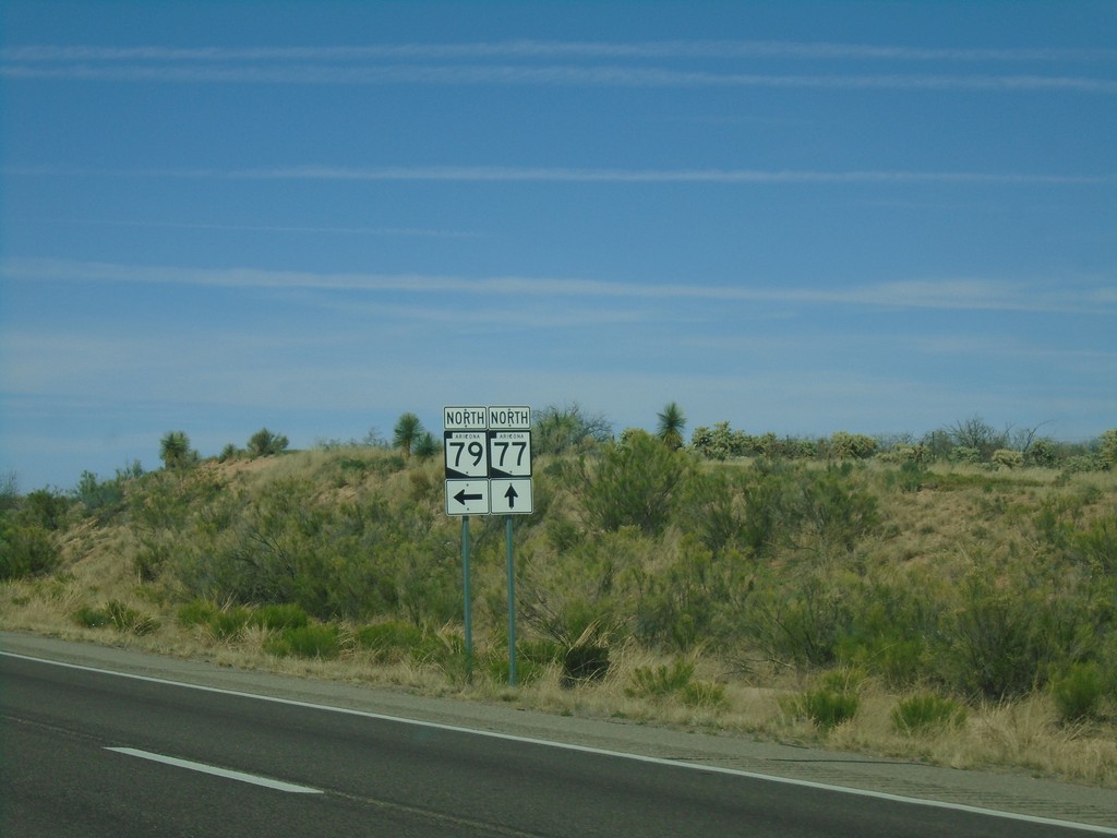
AZ-77 North at AZ-79
AZ-77 North at AZ-79 North in Pinal County.
Taken 03-24-2019

 Oracle Junction
Pinal County
Arizona
United States
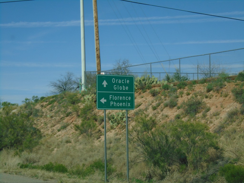
AZ-77 North at AZ-79
AZ-77 North at AZ-79. Continue north on AZ-77 to Globe and Oracle. Turn left for AZ-79 north to Florence and Phoenix.
Taken 03-24-2019

 Oracle
Pinal County
Arizona
United States
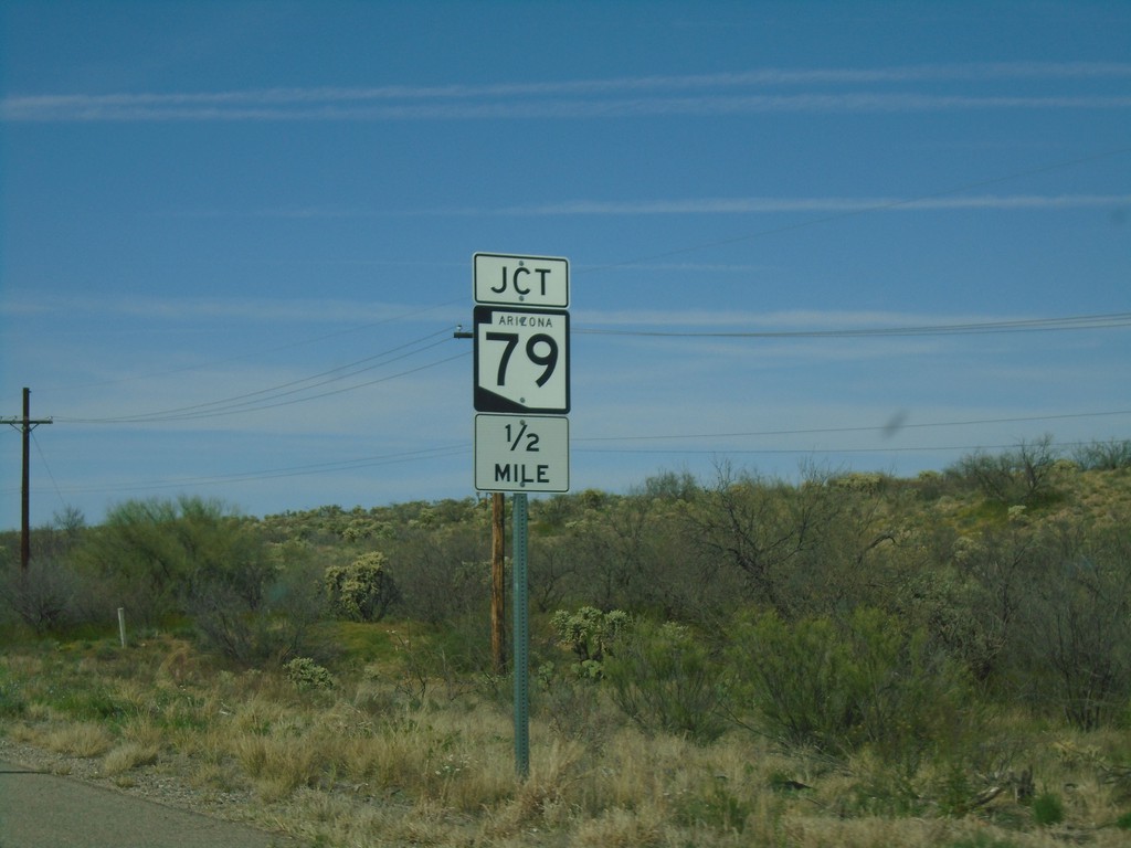
AZ-77 North Approaching AZ-79
AZ-77 North approaching AZ-79 in Pinal County.
Taken 03-24-2019

 Tucson
Pinal County
Arizona
United States
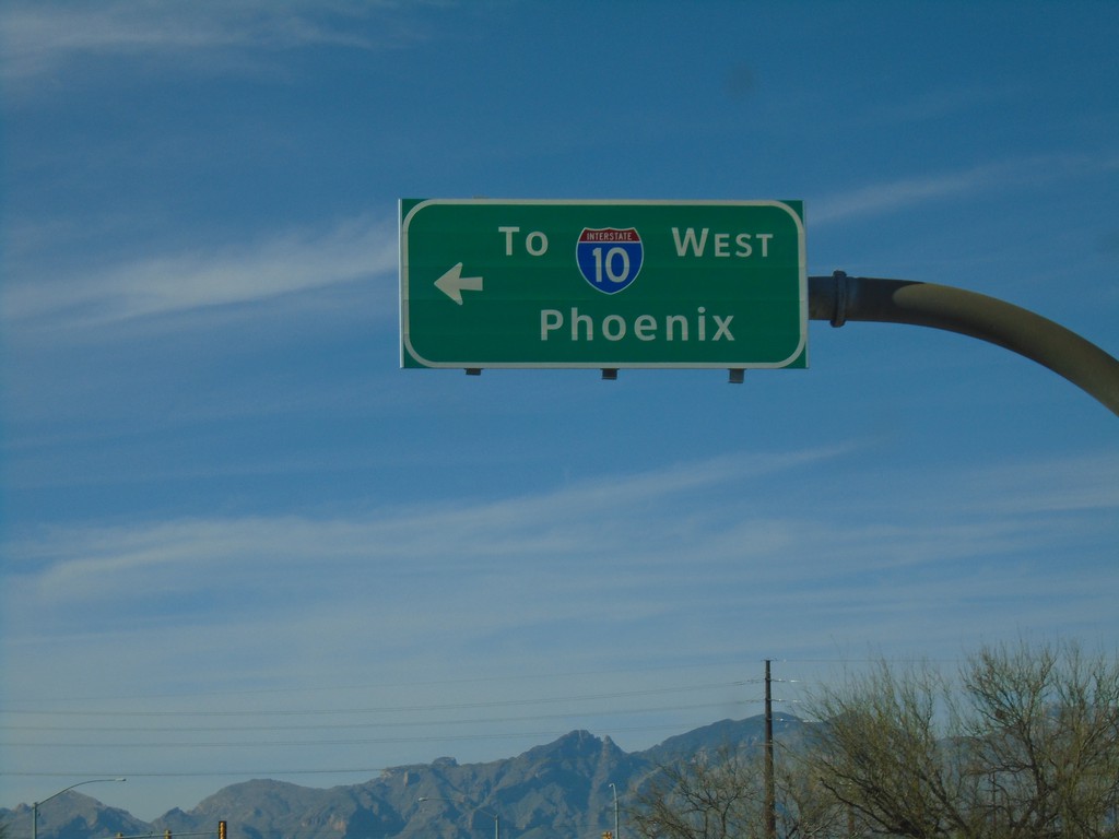
Alvernon Way North at Irvington Road
Alvernon Way North at Irvington Road in Tucson. Turn left on Irvington Road for I-10 West to Phoenix.
Taken 03-23-2019
 Tucson
Pima County
Arizona
United States
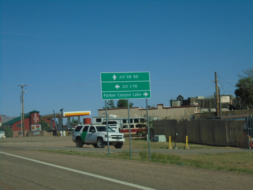
AZ-82 East Approaching AZ-83
AZ-82 east approaching AZ-83. Use AZ-83 north for I-10. Continue east on AZ-82 for SR-90. Turn right on county road for Parker Canyon Lake.
Taken 03-23-2019

 Sonoita
Santa Cruz County
Arizona
United States
BL-19 North at AZ-82
BL-19 North at AZ-82 East - Nogales.
Taken 03-23-2019

 Nogales
Santa Cruz County
Arizona
United States
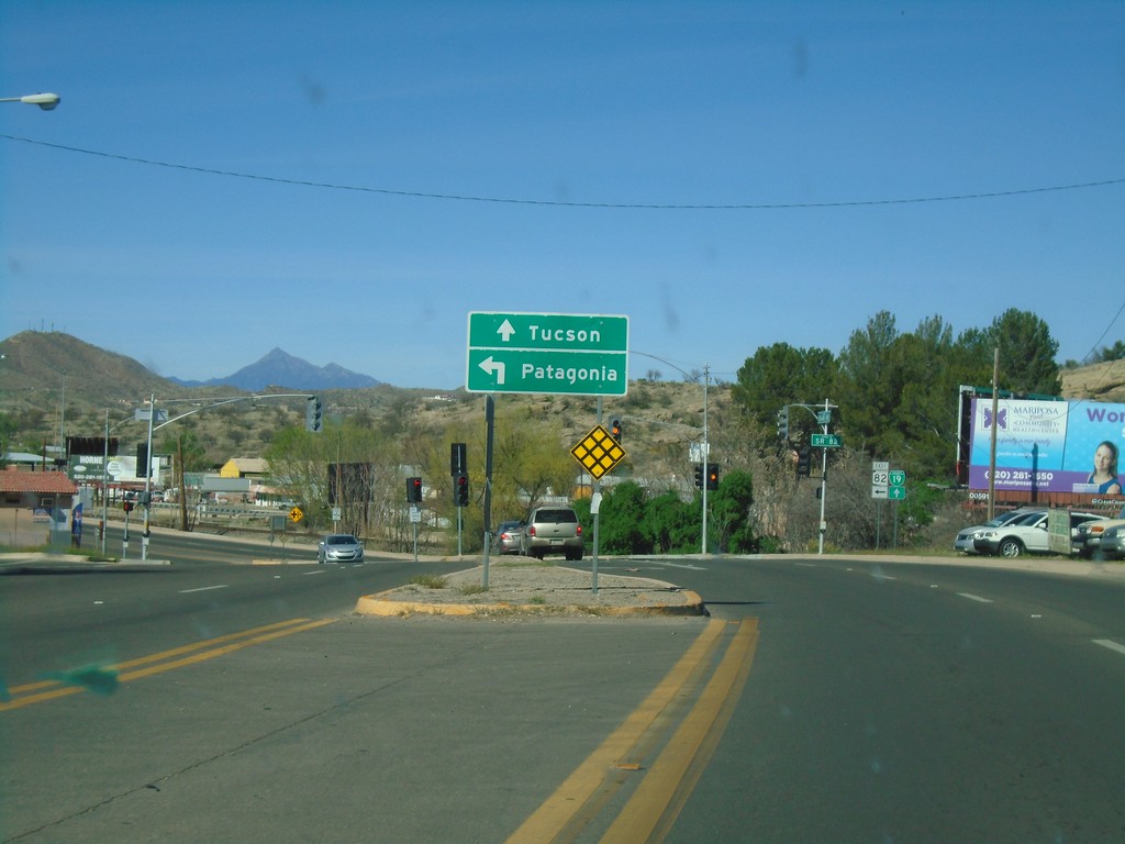
BL-19 North at AZ-82
BL-19 North at AZ-82 in Nogales. Turn left for AZ-82 east to Patagonia. Continue north on BL-19 for Tucson.
Taken 03-23-2019

 Nogales
Santa Cruz County
Arizona
United States
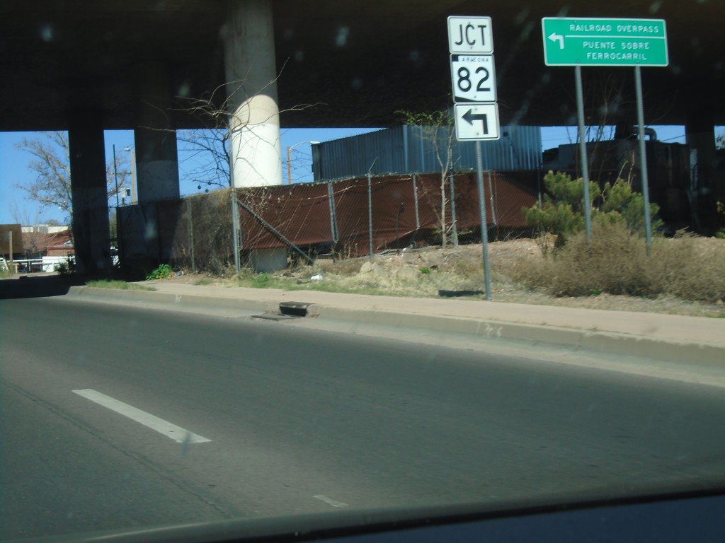
BL-19 North at AZ-82
BL-19 North at AZ-82 East to Railroad Overpass. The word railroad overpass is in both English and Spanish.
Taken 03-23-2019

 Nogales
Santa Cruz County
Arizona
United States
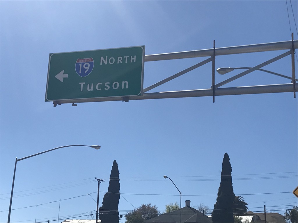
I-19 North - Crawford Ave./Sonoita Ave. Intersection
I-19 North (Crawford Ave.) at Sonoita Ave. Turn left on Sonoita Ave. for I-19 North/Tucson.
Taken 03-23-2019
 Nogales
Santa Cruz County
Arizona
United States
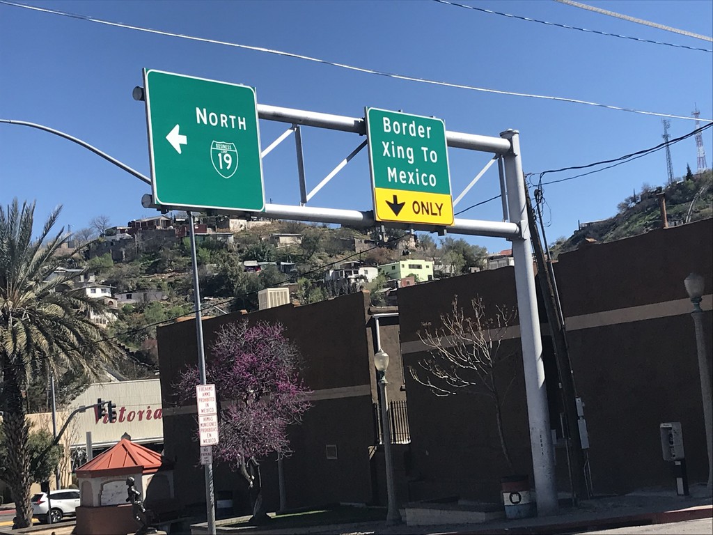
End I-19 South at BL-19/Grand Ave.
End I-19 South at BL-19/Grand Ave. in Nogales. Turn left for BL-19/Grand Ave. North. Turn right for Grand Ave. South Border Crossing to Mexico.
Taken 03-23-2019

 Nogales
Santa Cruz County
Arizona
United States
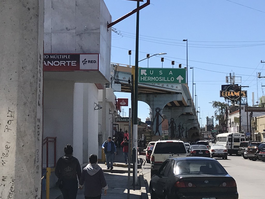
MX-15 South at Turnaround To USA
MX-15 South at turnaround To USA. Continue south on MX-15 for Hermosillo.
Taken 03-23-2019
 Centro
Nogales Municipality
Sonora
Mexico
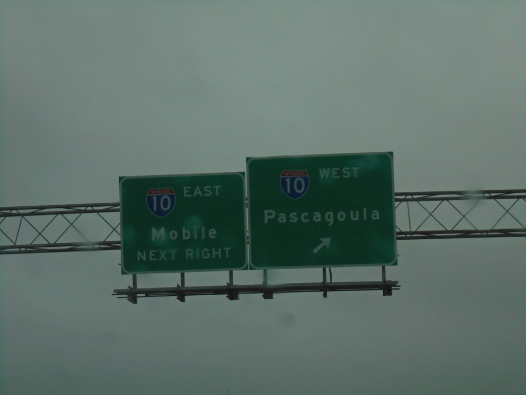
AL-193 South at I-10
AL-193 South at I-10 in Mobile. Use I-10 west for Pascagoula (MS); I-10 east for Mobile.
Taken 12-27-2018

 Mobile
 County
Alabama
United States
Mobile
Mobile County
Alabama
United States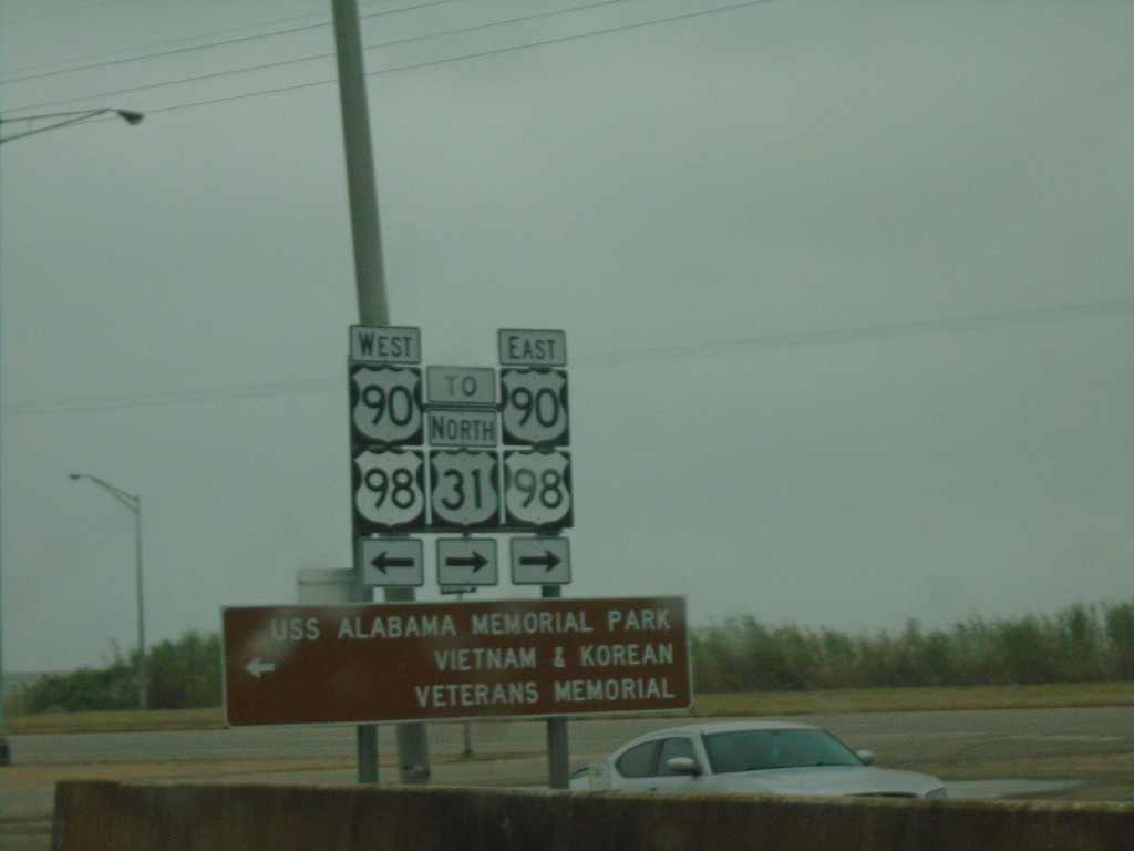
I-10 West - Exit 30 Offramp at US-90/US-98
I-10 West - Exit 30 Offramp at US-90/US-98 - Battleship Parkway. Turn left for US-90/US-98 West to USS Alabama Memorial Park/Vietnam and Korean Veterans Memorial. Turn left for US-90/US-98 East/To US-31.
Taken 12-27-2018


 Spanish Fort
Baldwin County
Alabama
United States
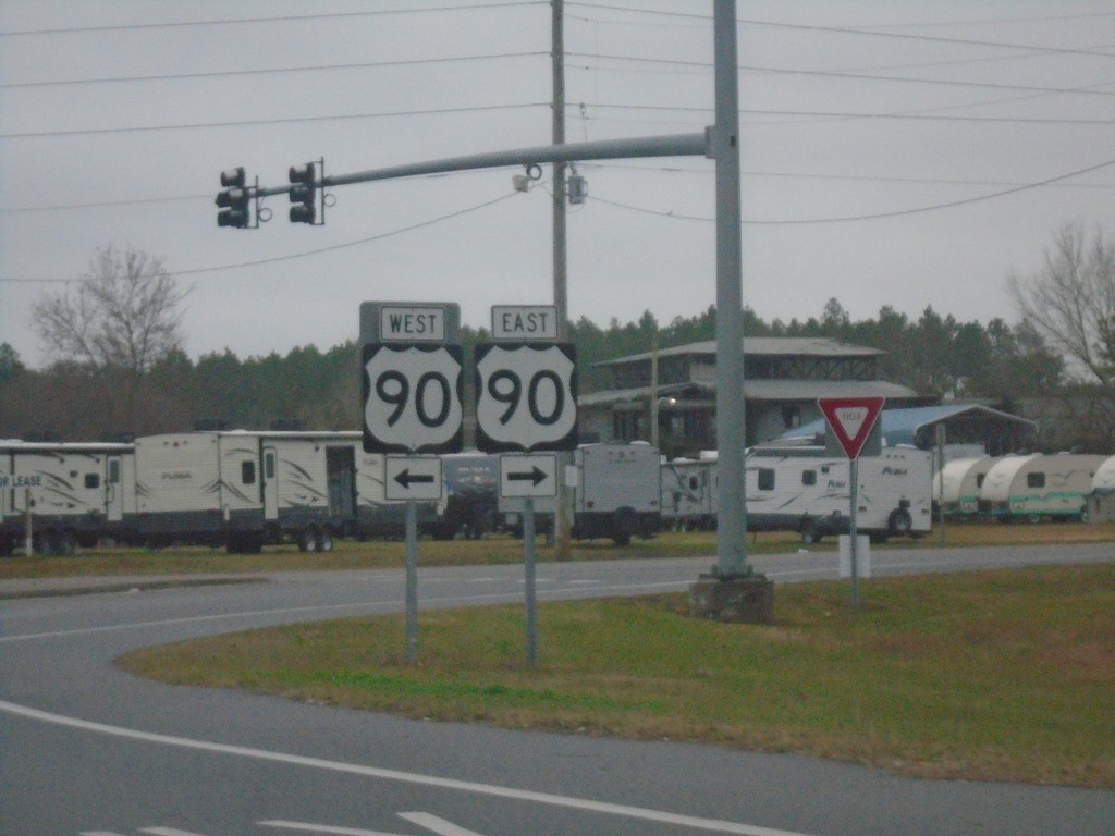
Baldwin Beach Express North at US-90
Baldwin Beach Express North at US-90 in Baldwin County.
Taken 12-27-2018
 Robertsdale
Baldwin County
Alabama
United States
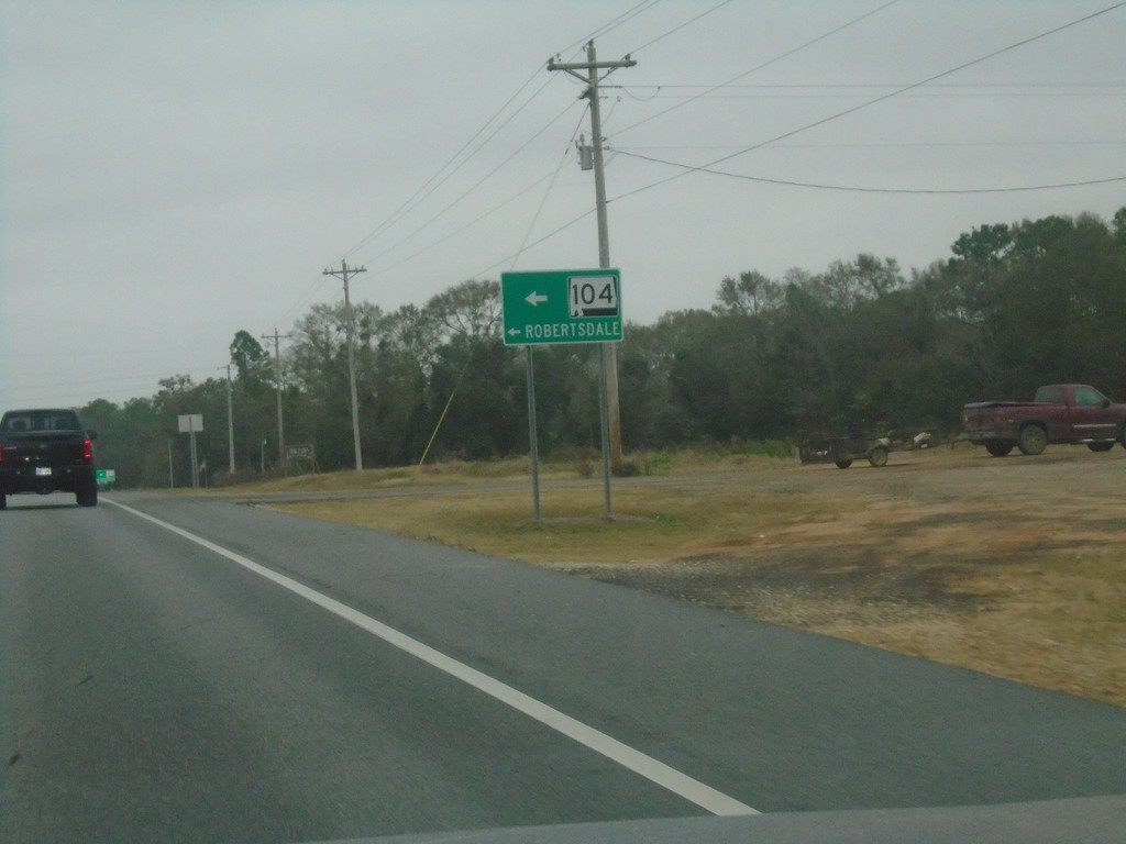
Baldwin Beach Express North at Sliver Hill Ave.
Baldwin Beach Express North at Sliver Hill Ave. Use Silver Hill Ave. west for AL-104 and Robertsdale.
Taken 12-27-2018
 Robertsdale
Baldwin County
Alabama
United States
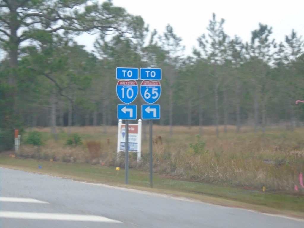
AL-180 East at Foley Beach Express
AL-180 East at Foley Beach Express. Use Foley Beach Express for access to I-10 and I-65.
Taken 12-27-2018


 Orange Beach
Baldwin County
Alabama
United States
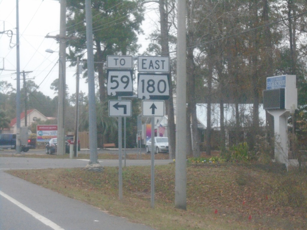
AL-180 East at Dolphin Ave.
AL-180 East at Dolphin Ave. Turn left for AL-59.
Taken 12-27-2018

 Gulf Shores
Baldwin County
Alabama
United States
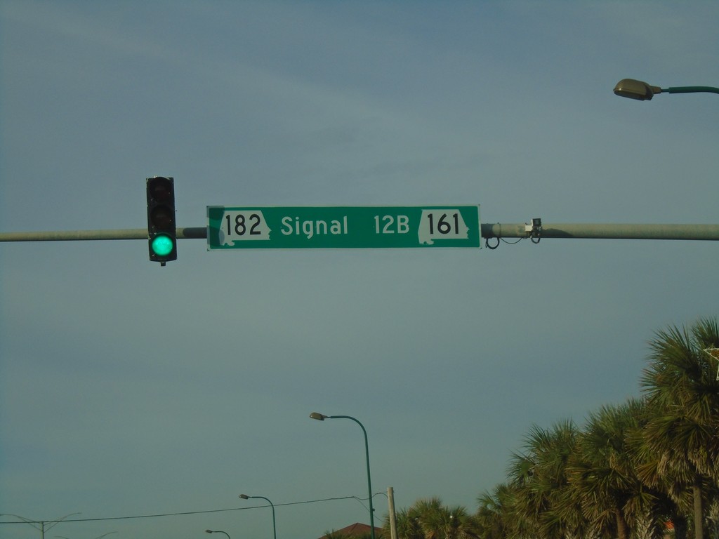
AL-182 West at AL-161
AL-182 West at AL-161 - Signal 12B.
Taken 12-26-2018

 Orange Beach
Baldwin County
Alabama
United States