Signs Tagged With Intersection
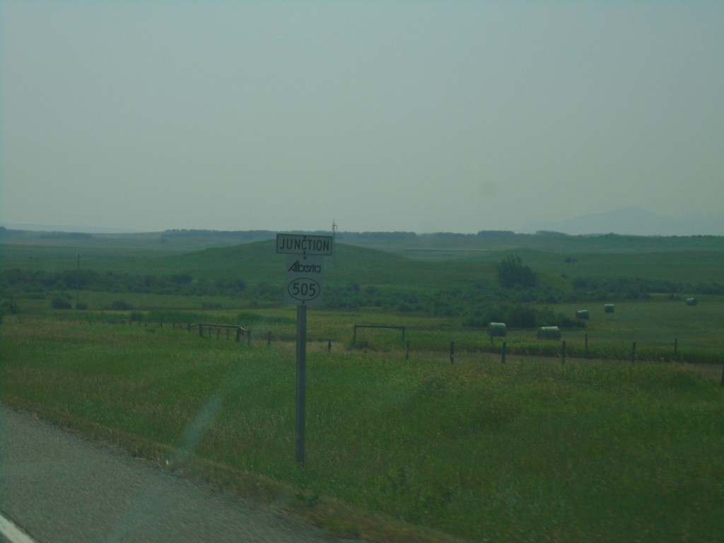
AB-6 South Approaching AB-505
AB-6 South Approaching AB-505 in the Municipal District Of Pincher Creek No. 9.
Taken 08-10-2018

 Pecten
Pincher Creek No. 9
Alberta
Canada
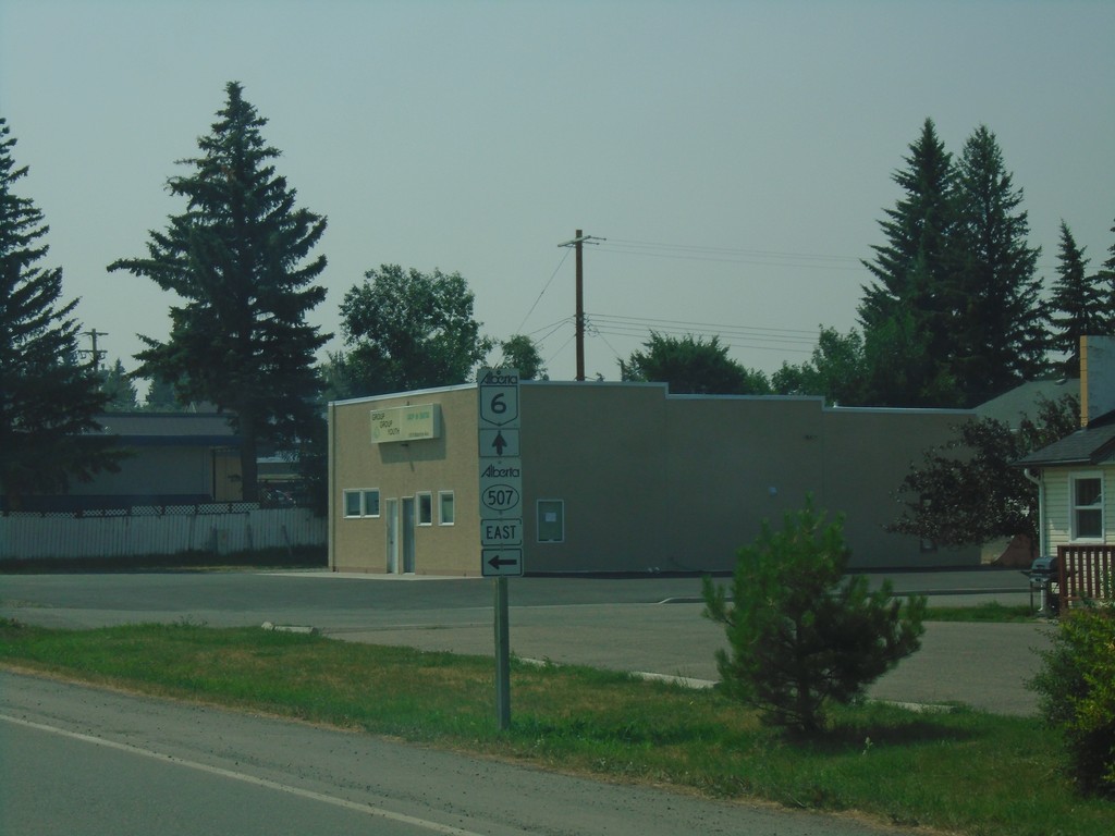
AB-6 South at AB-507 - Pincher Creek
AB-6 South at AB-507 East in Pincher Creek.
Taken 08-10-2018

 Pincher Creek
 No. 9
Alberta
Canada
Pincher Creek
Pincher Creek No. 9
Alberta
Canada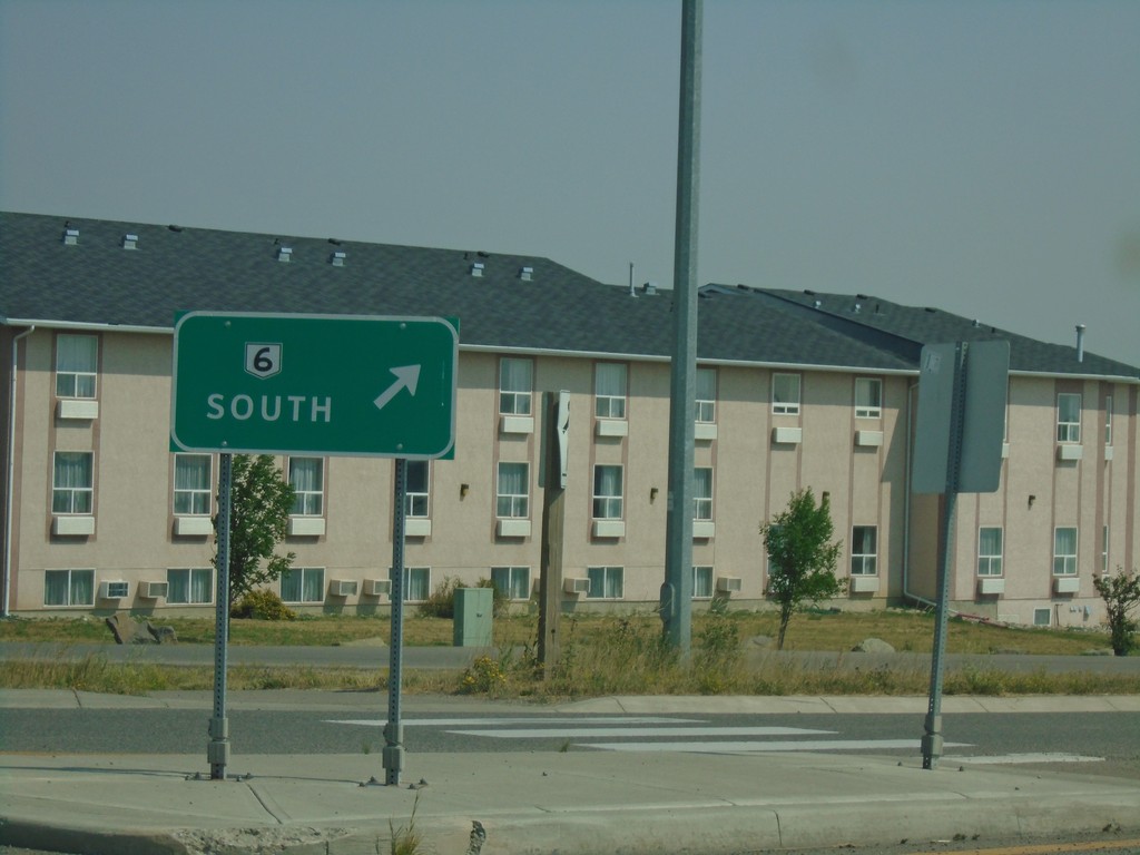
AB-6/AB-507 Roundabout - Pincher Creek
AB-6/AB-507 Roundabout in Pincher Creek. Merge right for AB-6 South.
Taken 08-10-2018

 Pincher Creek
 No. 9
Alberta
Canada
Pincher Creek
Pincher Creek No. 9
Alberta
Canada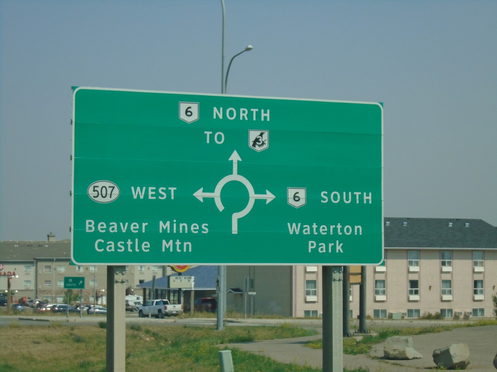
Heweston Ave. North at AB-6/AB-507 Roundabout
Heweston Ave. North at AB-6/AB-507 roundabout in Pincher Creek. Use AB-6 North for AB-3 (Crowsnest Highway); use AB-6 south for Waterton Park; use AB-507 West for Beaver Mines and Castle Mountain.
Taken 08-10-2018


 Pincher Creek
 No. 9
Alberta
Canada
Pincher Creek
Pincher Creek No. 9
Alberta
Canada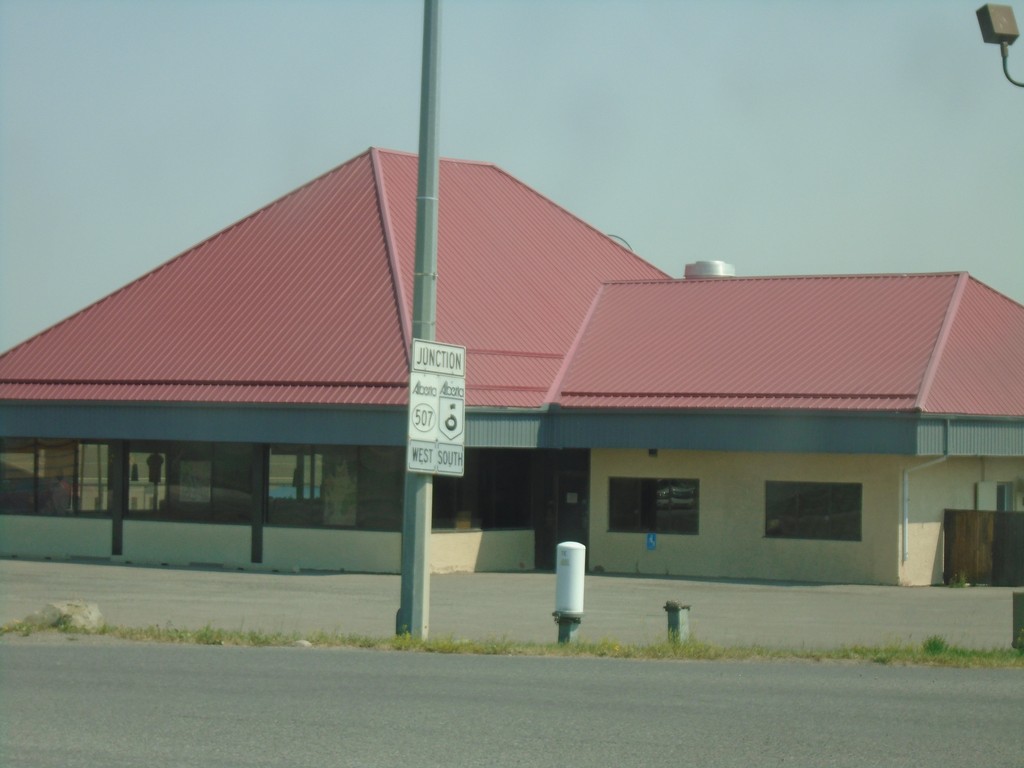
Heweston Ave. North Approaching AB-6/AB-507
Heweston Ave. North Approaching AB-6/AB-507 roundabout in Pincher Creek.
Taken 08-10-2018

 Pincher Creek
 No. 9
Alberta
Canada
Pincher Creek
Pincher Creek No. 9
Alberta
Canada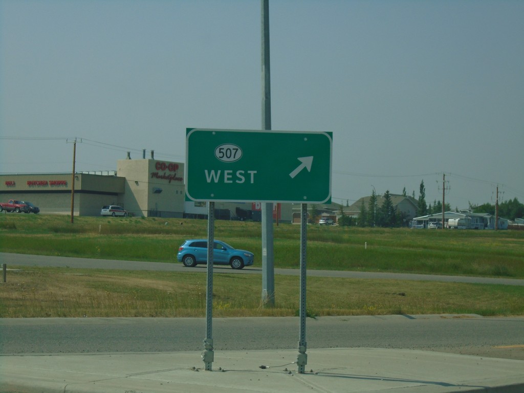
AB-6 South at AB-507 Junction
AB-6 South at AB-507 West Junction in a roundabout. Merge right for AB-507 west.
Taken 08-10-2018

 Pincher Creek
 No. 9
Alberta
Canada
Pincher Creek
Pincher Creek No. 9
Alberta
Canada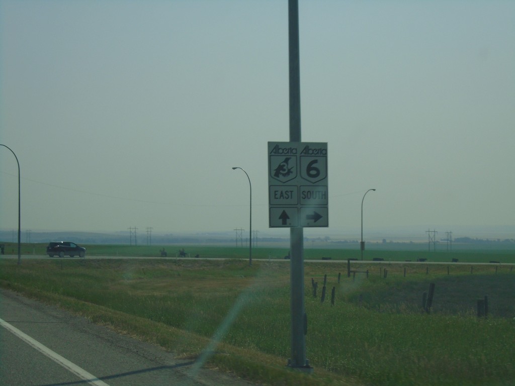
AB-3 East at AB-6 South
AB-3 East at AB-6 South in Pincher Creek.
Taken 08-10-2018

 Pincher Creek
 No. 9
Alberta
Canada
Pincher Creek
Pincher Creek No. 9
Alberta
Canada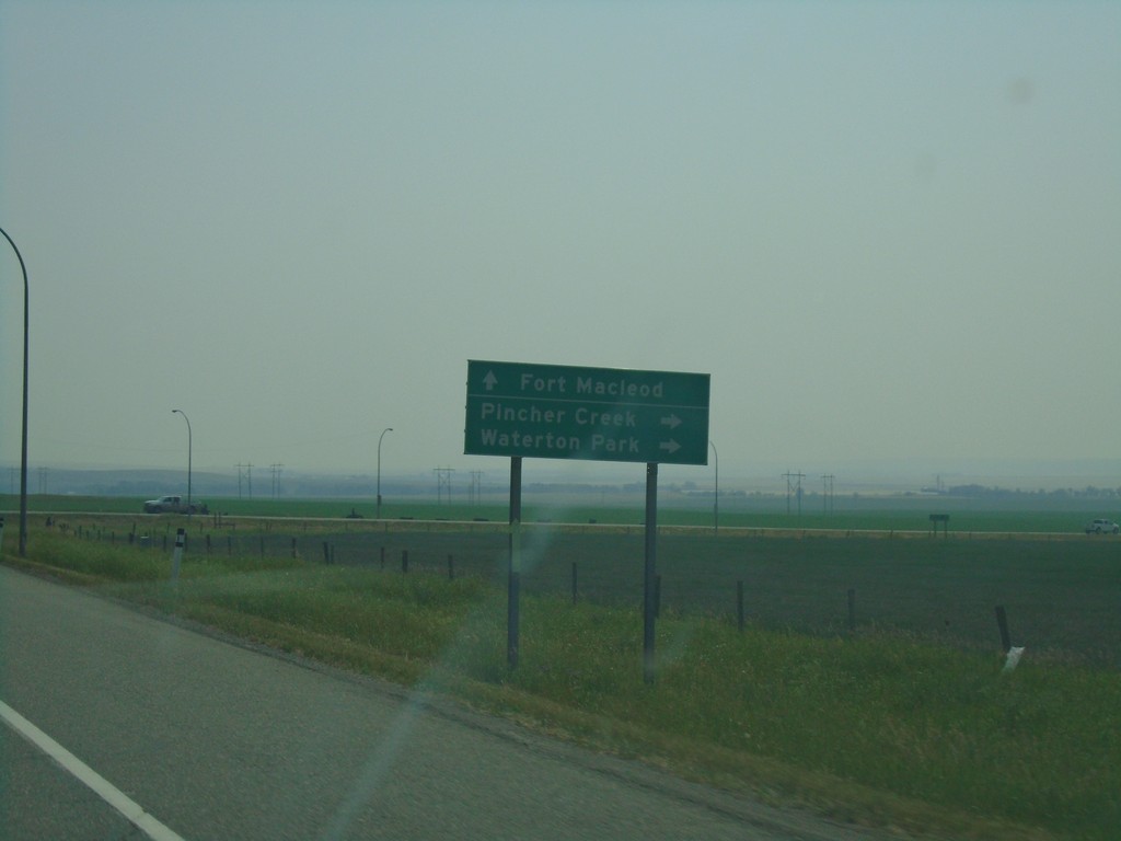
AB-3 East Approaching AB-6 South
AB-3 East Approaching AB-6 South to Pincher Creek and Waterton Park. Continue east on AB-3 for Fort Macleod.
Taken 08-10-2018

 Pincher Creek
 No. 9
Alberta
Canada
Pincher Creek
Pincher Creek No. 9
Alberta
Canada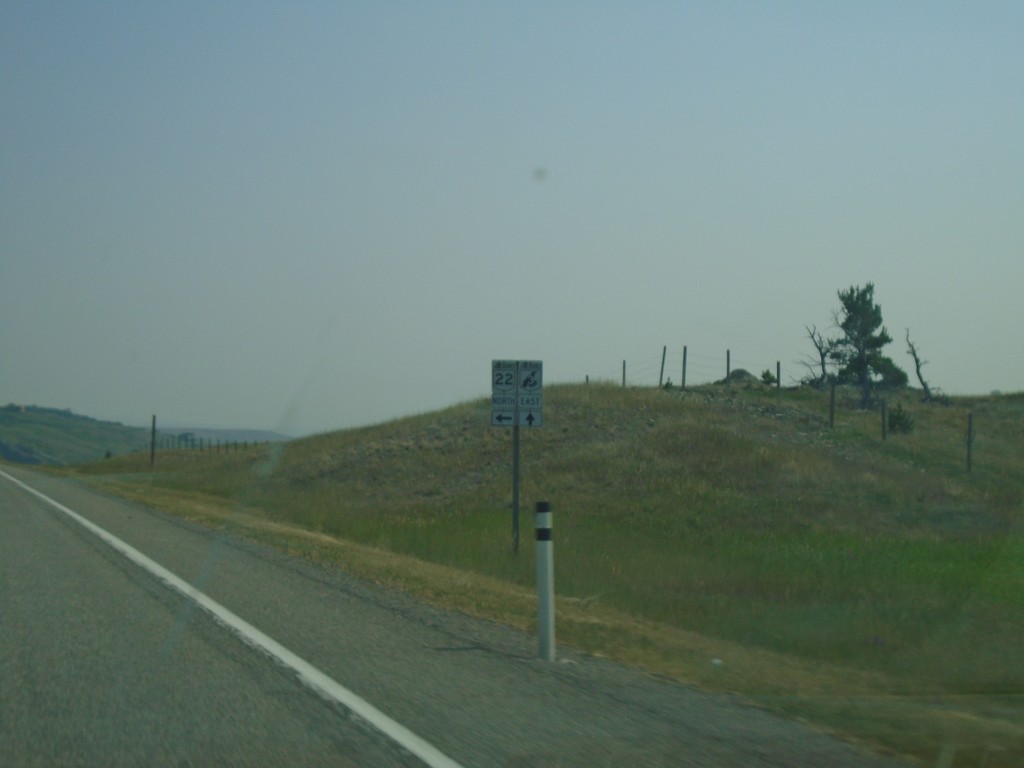
AB-3 East at AB-22 North
AB-3 East at AB-22 North junction in the Municipal District Of Pincher Creek No. 9.
Taken 08-10-2018

 Lundbreck
Pincher Creek No. 9
Alberta
Canada
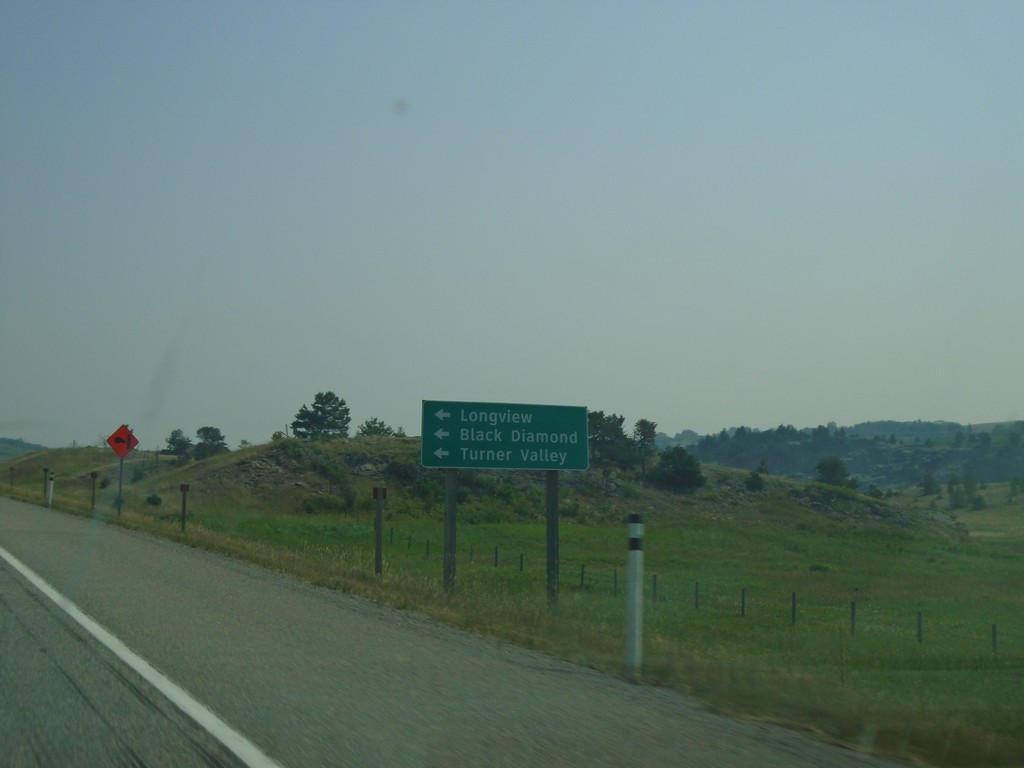
AB-3 East Approaching AB-22 North
AB-3 East approaching AB-22 North. Use AB-22 north for Longview, Black Diamond, and Turner Valley.
Taken 08-10-2018

 Lundbreck
Pincher Creek No. 9
Alberta
Canada
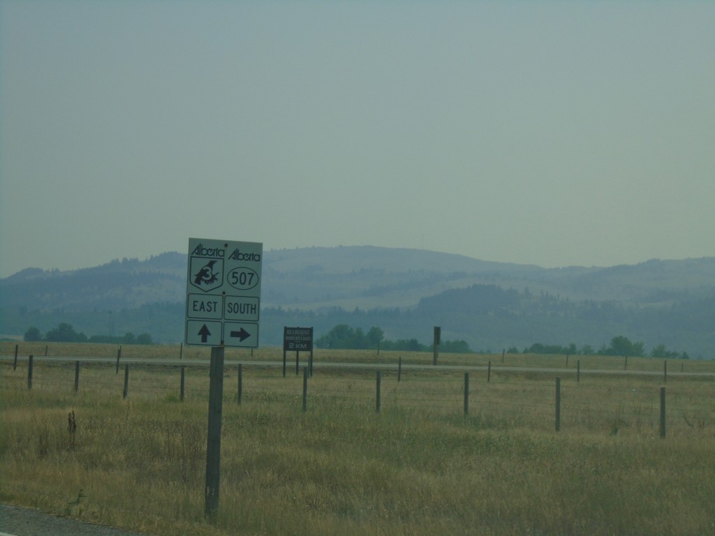
AB-3 East at AB-507 South
AB-3 East at AB-507 South junction.
Taken 08-10-2018

 Bellevue
Pincher Creek No. 9
Alberta
Canada
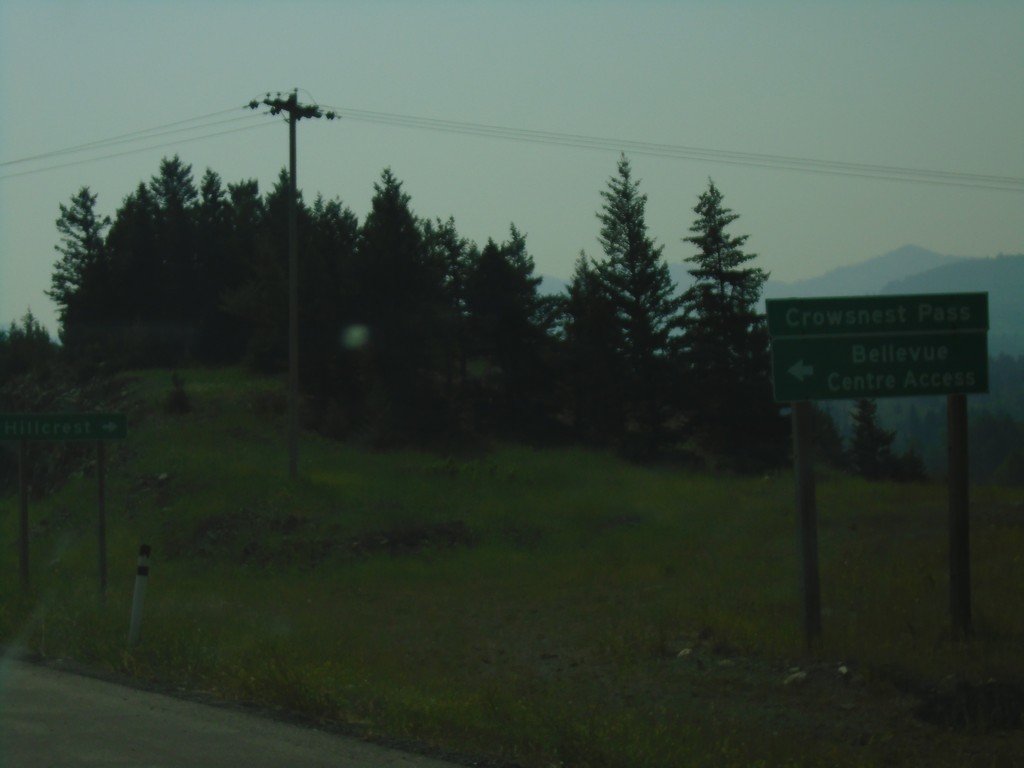
AB-3 East - Bellevue Centre Access
AB-3 East at Bellevue Centre Access.
Taken 08-10-2018
 Bellevue
Crowsnest Pass
Alberta
Canada
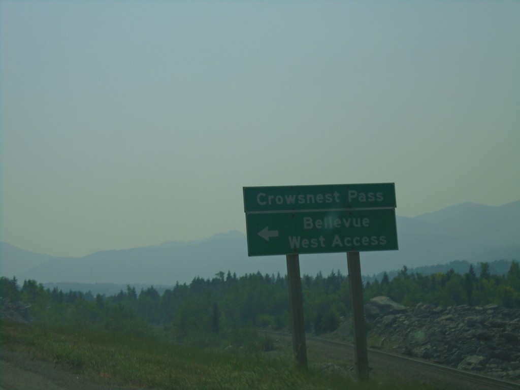
AB-3 East - Bellevue West Access
AB-3 East at Bellevue West Access.
Taken 08-10-2018
 Bellevue
Pincher Creek No. 9
Alberta
Canada
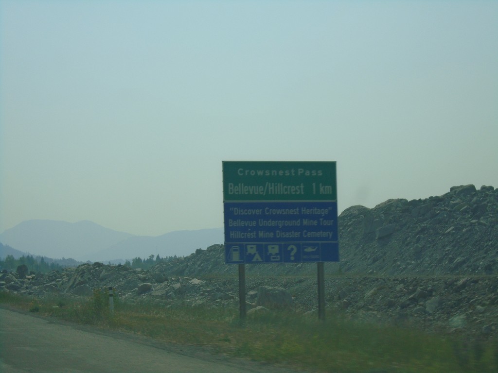
AB-3 East Approaching Bellvue/Hillcrest
AB-3 East approaching Bellvue/Hillcrest communities in Crowsnest Pass.
Taken 08-10-2018
 Bellevue
Crowsnest Pass
Alberta
Canada
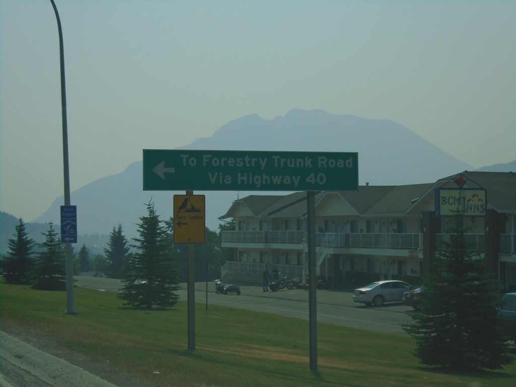
AB-3 East at AB-40 North - Coleman
AB-3 East at AB-40 North in Coleman. Use AB-40 north for Forestry Trunk Road.
Taken 08-10-2018

 Frank
Crowsnest Pass
Alberta
Canada
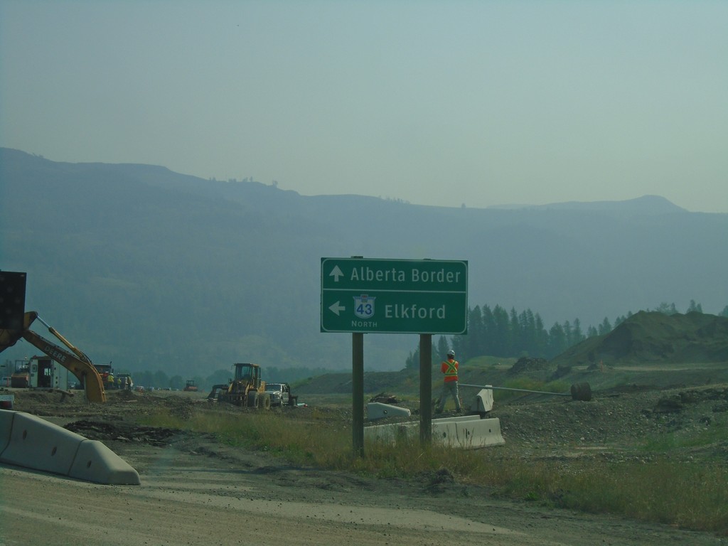
BC-3 East at BC-43 North - Sparwood
BC-3 East at BC-43 North in Sparwood. Turn left for BC-43 north to Elkford; continue east on BC-3 for the Alberta Border.
Taken 08-10-2018

 Sparwood
East Kootenay
British Columbia
Canada
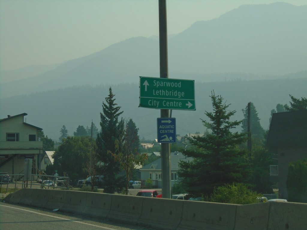
BC-3 East - Fernie
BC-3 east in Fernie. Turn right on 4th St. for (Fernie) City Centre. Continue east on BC-3 for Sparwood and Lethbridge (Alberta).
Taken 08-10-2018
 Fernie
East Kootenay
British Columbia
Canada
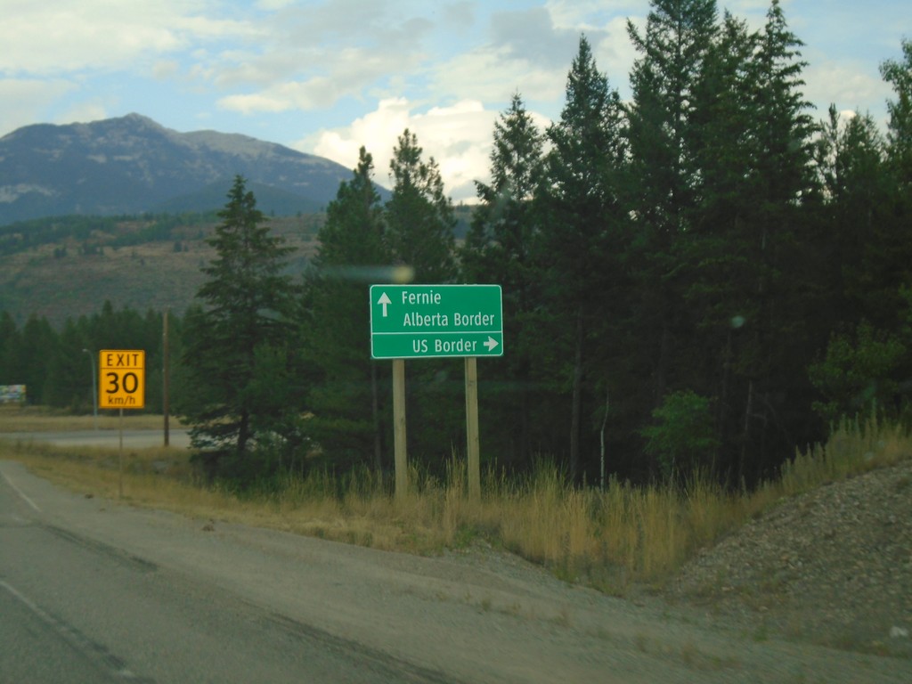
BC-3 East at BC-93 South
BC-3 east at BC-93 south to US Border. Continue east on BC-3 for Fernie and Alberta Border. BC-93 south leaves BC-3 east here.
Taken 08-05-2018

 Elko
East Kootenay
British Columbia
Canada
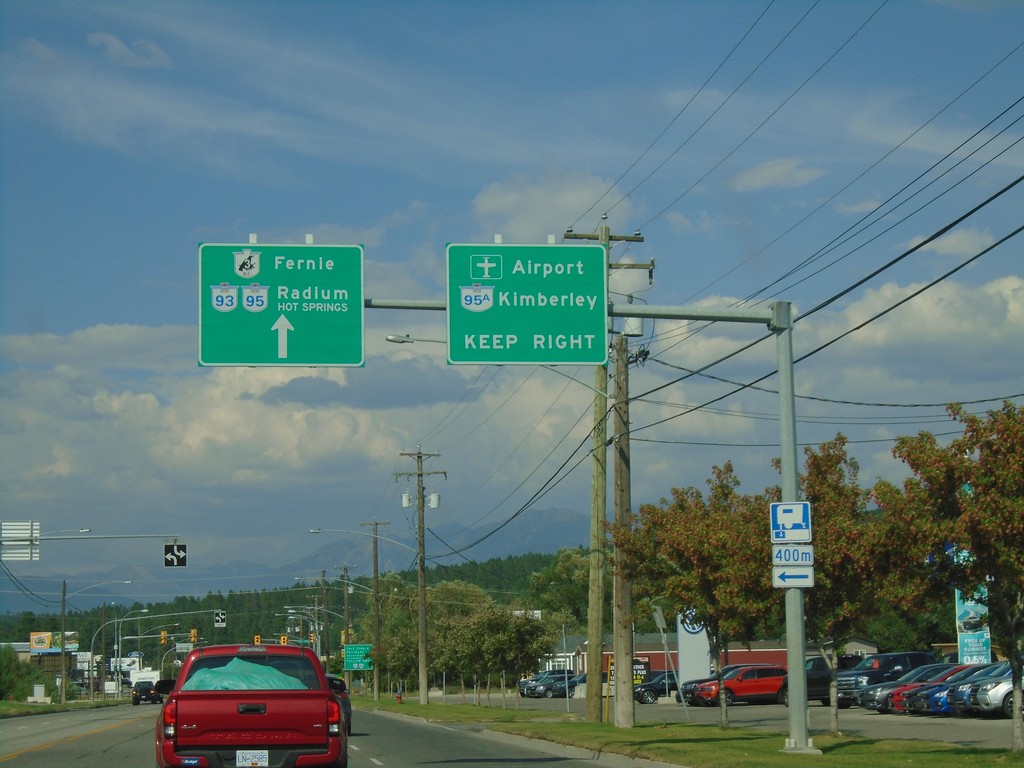
BC-3 East/BC-95 North Approaching BC-95A
BC-3 East/BC-95 North approaching BC-95A. Use BC-95A North for Kimberley and (Canadian Rockies International) Airport. Continue on BC-3 East/BC-95 North for Radium and Fernie.
Taken 08-05-2018


 Cranbrook
East Kootenay
British Columbia
Canada
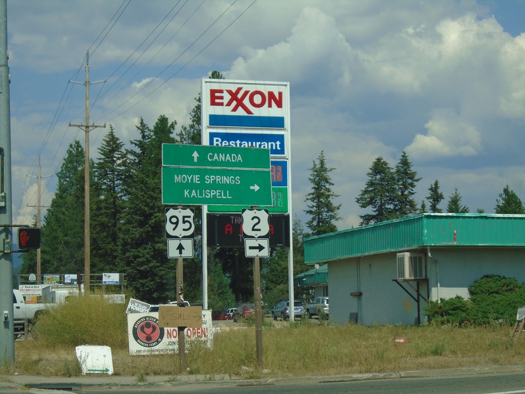
US-95 North/US-2 East at US-95/US-2 Split
US-95 North/US-2 East at US-95/US-2 split. Turn right for US-2 east to Moyie Springs and Kalispell (Montana). Continue north on US-95 for Canada.
Taken 08-05-2018

 Bonners Ferry
Boundary County
Idaho
United States
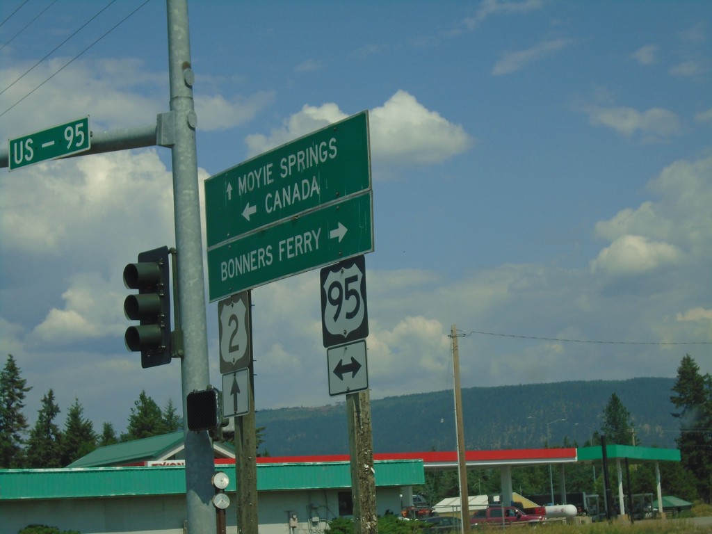
Sand Hill Road East at US-2 and US-95 Junction
Sand Hill Road East at US-2 and US-95 Junction. Turn right for US-95 south to Bonners Ferry; left for US-95 north to Canada; straight for US-2 east to Moyie Springs.
Taken 08-05-2018

 Bonners Ferry
Boundary County
Idaho
United States
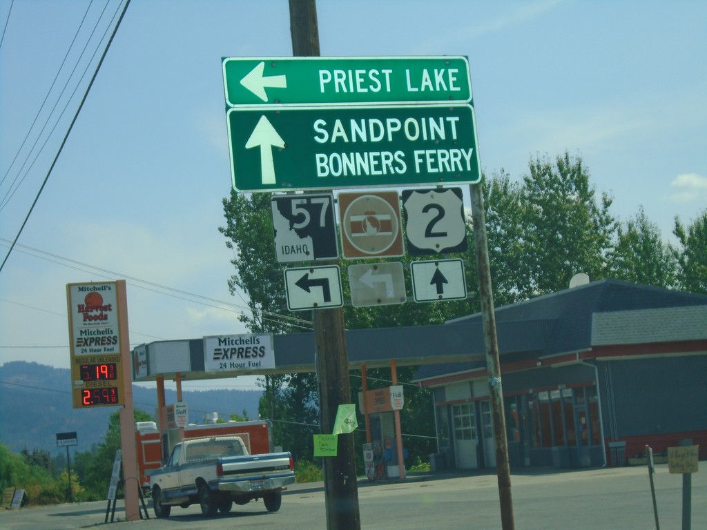
US-2 East at ID-57 North
US-2 east at ID-57 north to Priest Lake. Continue east on US-2 for Sandpoint and Bonners Ferry.
Taken 08-05-2018

 Priest River
Bonner County
Idaho
United States
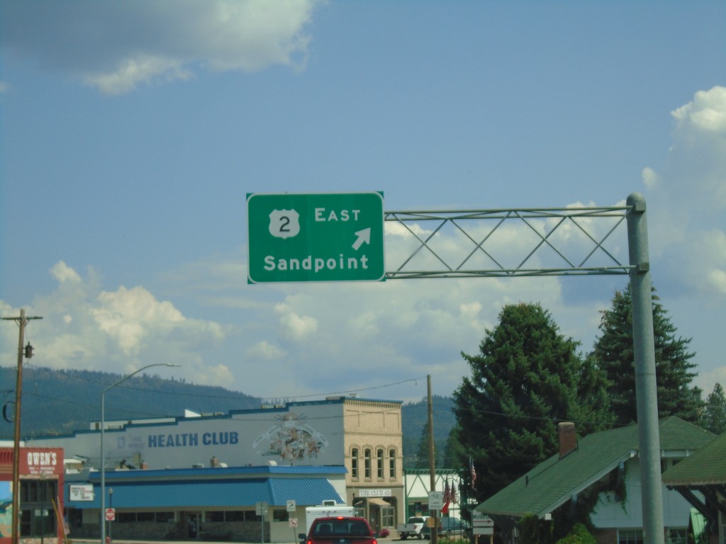
US-2 East - Newport
US-2 East in Newport. Merge right to continue east on US-2 towards Sandpoint (Idaho).
Taken 08-05-2018
 Newport
Pend Oreille County
Washington
United States
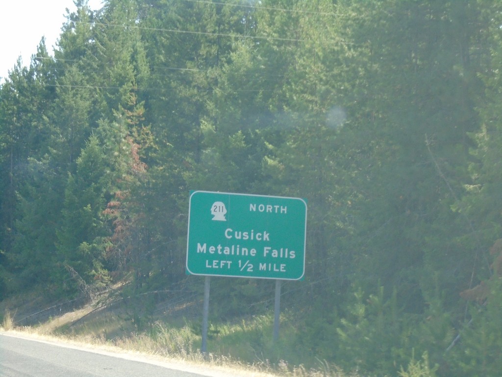
US-2 East Approaching WA-211 North
US-2 East approaching WA-211 North to Cusick and Metaline Falls.
Taken 08-05-2018

 Newport
Pend Oreille County
Washington
United States
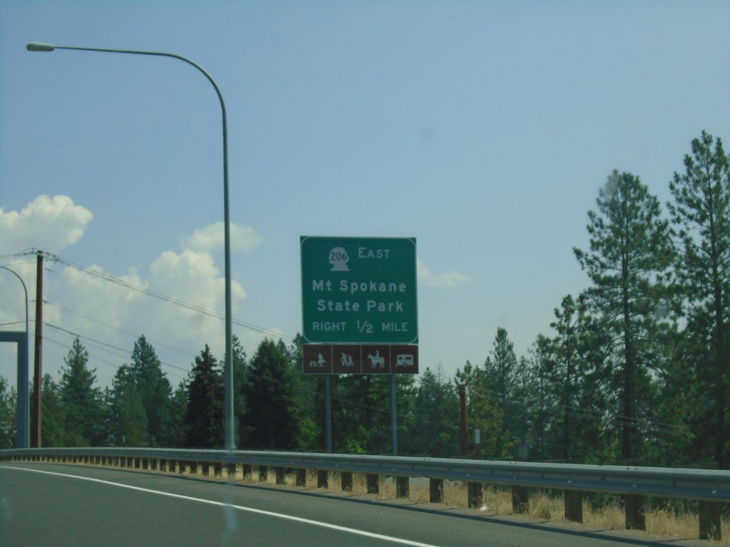
US-2 East Approaching WA-206
US-2 East Approaching WA-206 to Mount Spokane State Park.
Taken 08-05-2018

 Mead
Spokane County
Washington
United States