Javascript Is Required To Use This Page

Signs Tagged With Lake Powell

End UT-261 North at UT-95

End UT-261 North at UT-95 in San Juan County. Turn left for UT-95 west to Lake Powell and Natural Bridges National Monument.

Taken 03-24-2018

UT-95 UT-261 Lake Powell San Juan County Utah United States
US-191 South Approaching UT-95

US-191 south approaching UT-95 west to Natural Bridges National Monument, Lake Powell, and Capitol Reef National Park.

Taken 10-14-2013

US-191 UT-95 Blanding San Juan County Utah United States
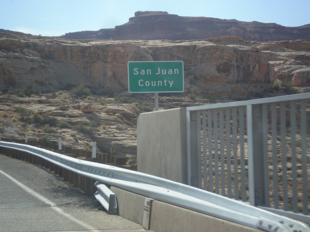
UT-95 East - San Juan County

Entering San Juan County on UT-95 east, crossing the Colorado River. This is the backwaters of Lake Powell, near Hite Marina.

Taken 10-10-2012

UT-95 Lake Powell San Juan County Utah United States
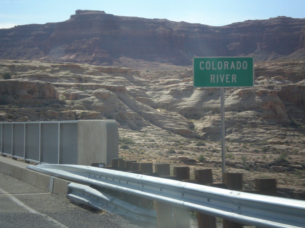
UT-95 East - Colorado River

Colorado River crossing on UT-95 east. This is the backwaters of Lake Powell.

Taken 10-10-2012

UT-95 Lake Powell Garfield County Utah United States
US-6 East/US-191 South Approaching I-70

Federal lands directions on US-6 East/US-191 South approaching I-70. Use I-70 west for Capitol Reef National Park and Lake Powell. Use I-70/US-6 East/US-191 South for Canyonlands National Park and Arches National Park.

Taken 10-01-2011

I-70 US-6 US-50 US-191 Green River Emery County Utah United States