Signs Tagged With Milemarker
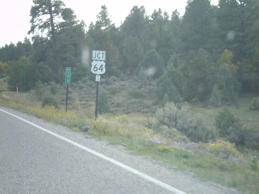
US-84 South/US-64 East At Split
US-84 South/US-64 East at Split. US-64 turns east here towards Taos. Northbound US-64 joins US-84 to west of Chama.
Taken 10-02-2011

 Los Ojos
Rio Arriba County
New Mexico
United States
Los Ojos
Rio Arriba County
New Mexico
United States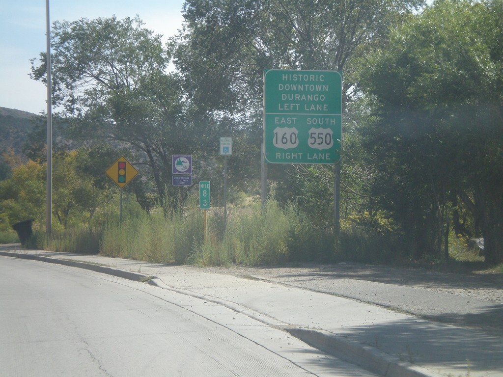
US-160 East Approaching US-550
US-160 East approaching US-550. Turn right for US-160 East/US-550 South; left for Historic Downtown Durango.
Taken 10-02-2011

 Durango
La Plata County
Colorado
United States
Durango
La Plata County
Colorado
United States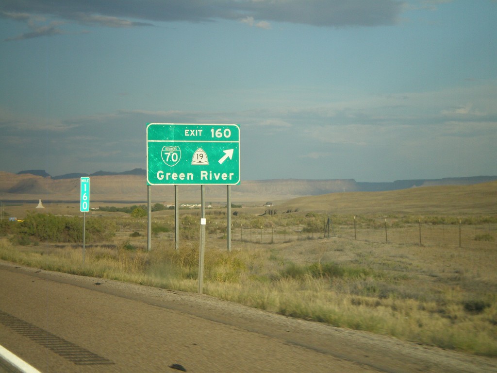
I-70 East - Exit 160
I-70 east at Exit 160 - BL-70/UT-19/Green River.
Taken 10-01-2011


 Green River
Emery County
Utah
United States
Green River
Emery County
Utah
United States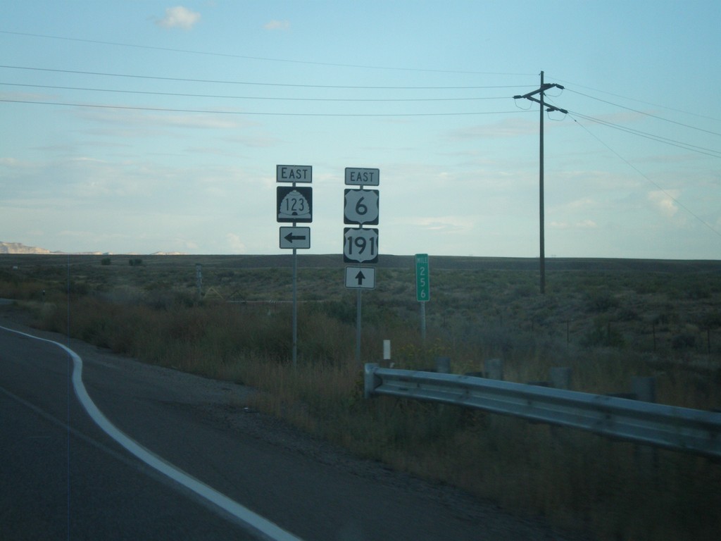
US-6 East/US-191 South at UT-123
US-6 East/US-191 South at UT-123 in Carbon County.
Taken 10-01-2011
 Price
Carbon County
Utah
United States
Price
Carbon County
Utah
United States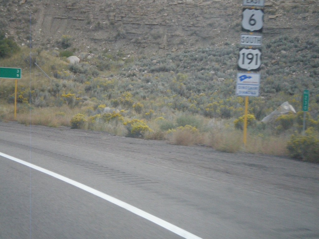
US-6 East/US-191 South near Helper
US-6 East/US-191 South near Helper. The sign beneath the shield designates this stretch of highway as a segment of Dinosaur Diamond Byway - part of America’s Byway System.
Taken 10-01-2011
Helper
Carbon County
Utah
United States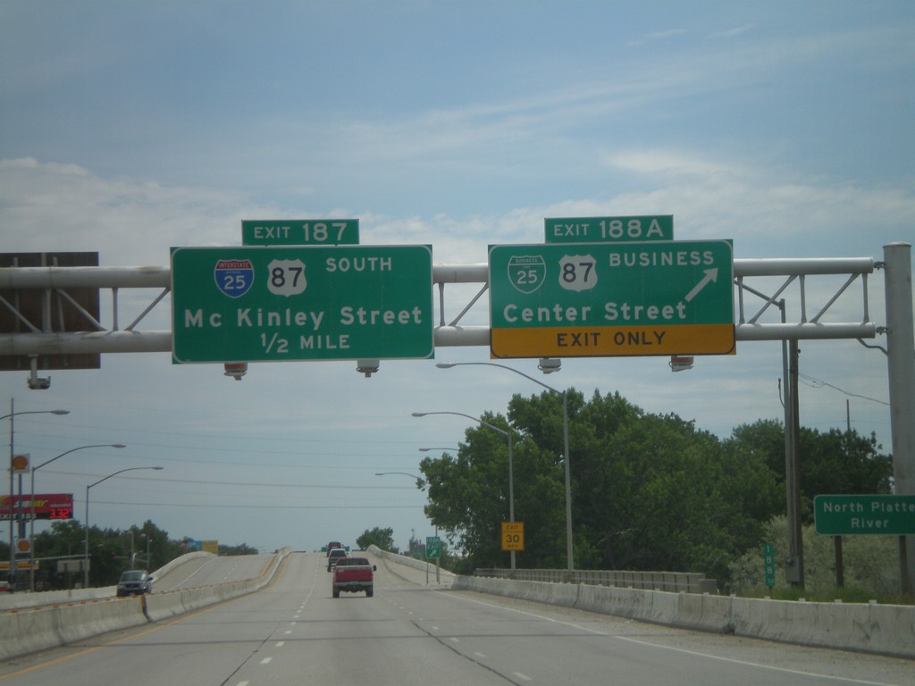
I-25 South - Exits 188A and 187
I-25 south at Exit 188A - BL-25/BL-87/Center St. Approaching Exit 187 - McKinley St. Exit 187 is signed as I-25 and US-87 south, but this is an error. Neither highway exit at McKinley St.
Taken 07-04-2011


 Casper
Natrona County
Wyoming
United States
Casper
Natrona County
Wyoming
United States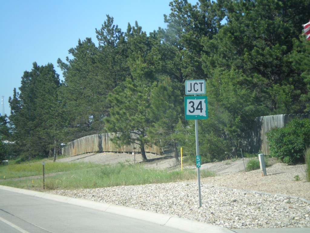
US-85 North Approaching SD-34
US-85 North approaching SD-34. Mile marker 54 is posted to the bottom of the marker.
Taken 07-03-2011

 Belle Fourche
Butte County
South Dakota
United States
Belle Fourche
Butte County
South Dakota
United States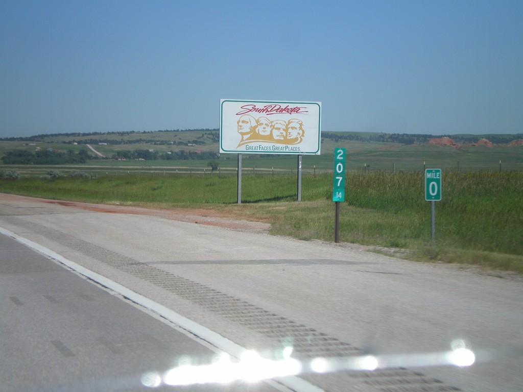
I-90 East - Welcome To South Dakota
Welcome to South Dakota on I-90 east. Milemarkers for both Wyoming and South Dakota.
Taken 07-03-2011

 North Spearfish
Lawrence County
South Dakota
United States
North Spearfish
Lawrence County
South Dakota
United States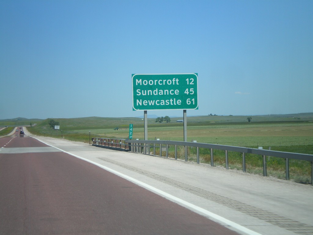
I-90 East - Distance Marker
Distance marker on I-90/US-14/US-16 east in Campbell County, Wyoming. Distance to Moorcroft, Sundance, and Newcastle (via US-16).
Taken 07-03-2011
 Rozet
Campbell County
Wyoming
United States
Rozet
Campbell County
Wyoming
United States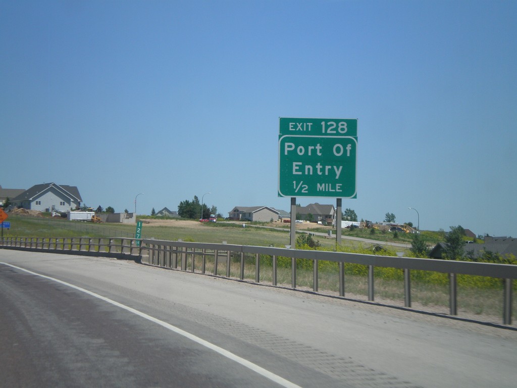
I-90 East - Exit 128
I-90 east at Exit 128 - Port of Entry. This is the east end of the Gillette business loop.
Taken 07-03-2011

 Gillette
Campbell County
Wyoming
United States
Gillette
Campbell County
Wyoming
United States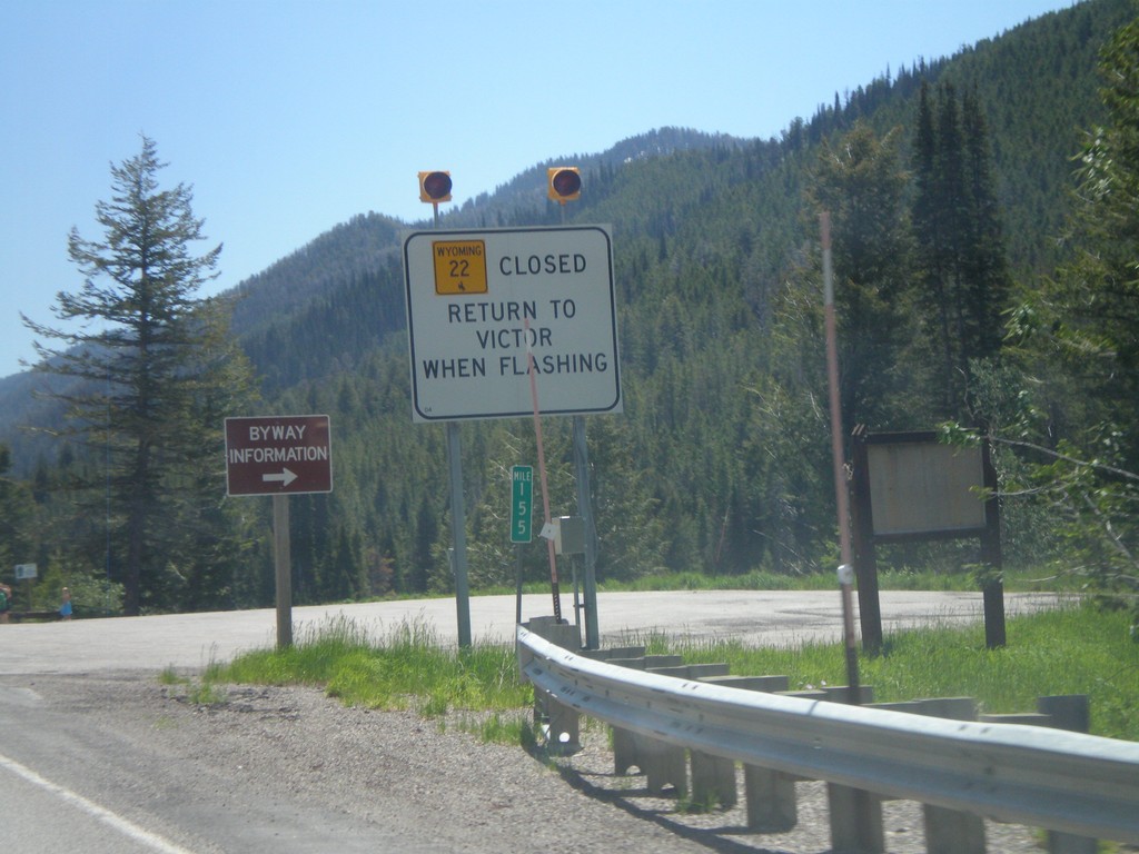
ID-33 East - WY-22 Closure Information
Teton Pass road closure information on ID-33 east approaching the Wyoming state line. When Teton Pass is closed in Wyoming, this is where the road closure starts, just inside of Idaho. All traffic must return to Victor Idaho when the road closure lights are flashing. This is one of the few instances in Idaho of a state highway shield from another state located inside Idaho.
Taken 07-02-2011

 Victor
Teton County
Idaho
United States
Victor
Teton County
Idaho
United States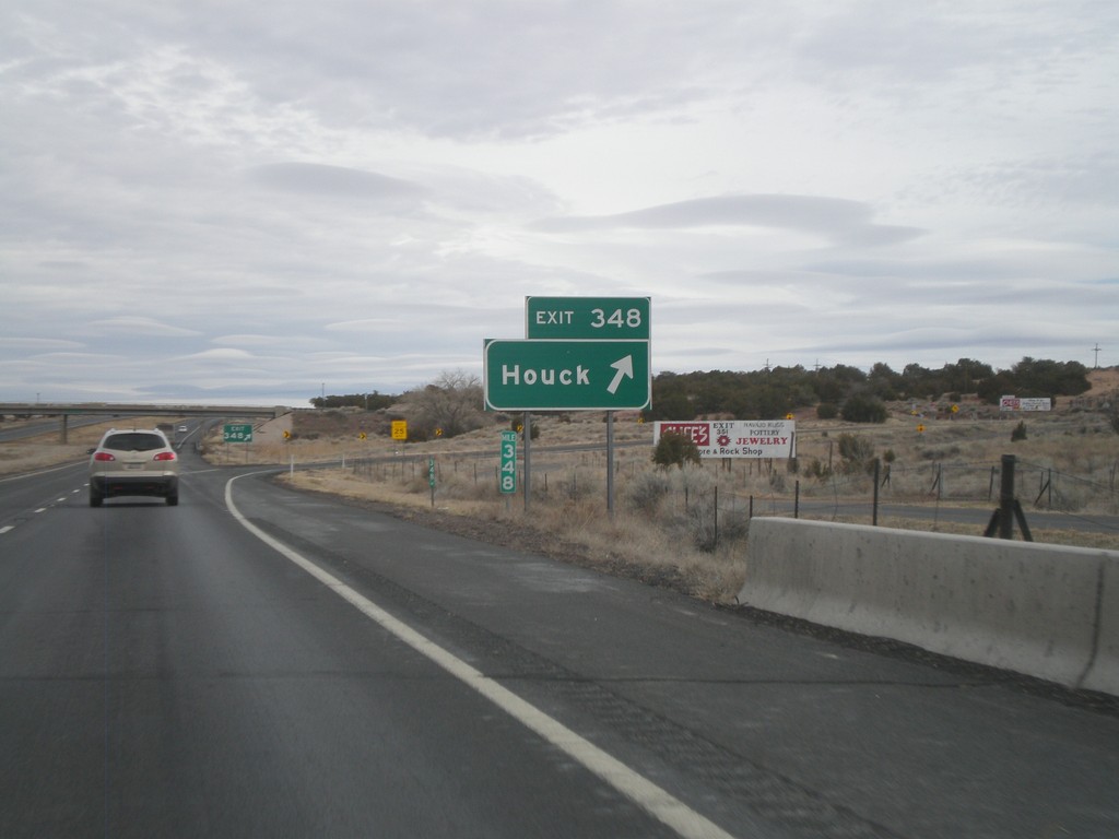
I-40 East - Exit 348
I-40 east at Exit 348 - Houck.
Taken 02-24-2011
 Houck
Apache County
Arizona
United States
Houck
Apache County
Arizona
United States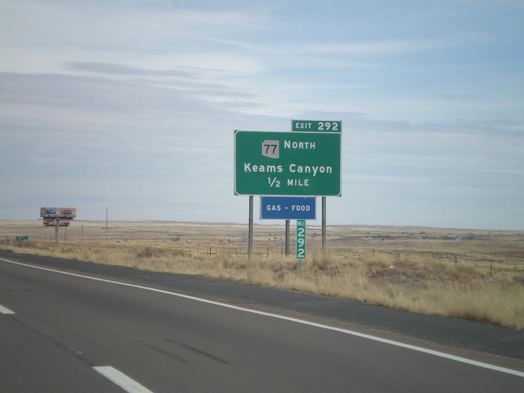
I-40 East - Exit 292
I-40 east at Exit 292 - AZ-77 North/Keams Canyon. AZ-77 north leaves I-40 here, and heads north onto the Hopi Indian Reservation.
Taken 02-24-2011
 Holbrook
Navajo County
Arizona
United States
Holbrook
Navajo County
Arizona
United States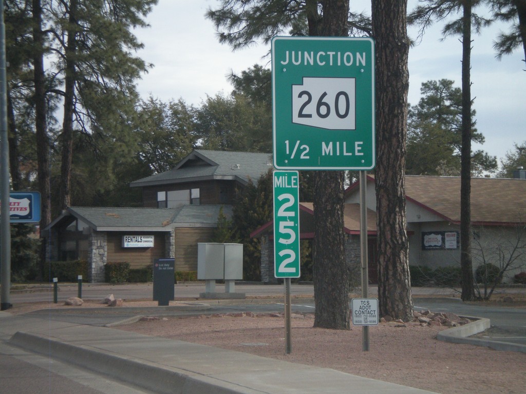
AZ-87 North Approaching AZ-260
AZ-87 north approaching AZ-260 at Milemarker 252.
Taken 02-24-2011

 Payson
Gila County
Arizona
United States
Payson
Gila County
Arizona
United States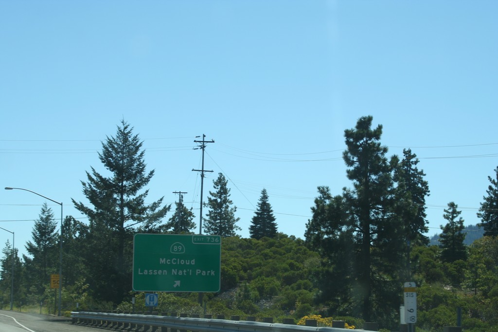
I-5 South - Exit 736
I-5 south at Exit 736 - CA-89/Lassen National Park/McCloud. This is the northern end of CA-89, which runs generally along the east side of the Sierra Nevada.
Taken 09-25-2010

 Mount Shasta
Siskiyou County
California
United States
Mount Shasta
Siskiyou County
California
United States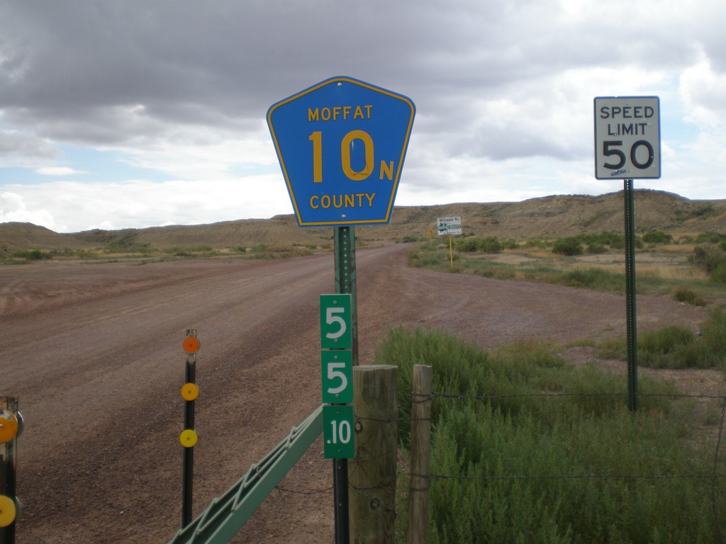
Moffat County 10N - Wyoming-Colorado State Line
Moffat County 10N at the Wyoming-Colorado State Line. The mile marker below the highway shield is a standard Wyoming mile marker, and is for WY-430.
Taken 08-01-2010
 Sweetwater County
Wyoming
United States
Sweetwater County
Wyoming
United States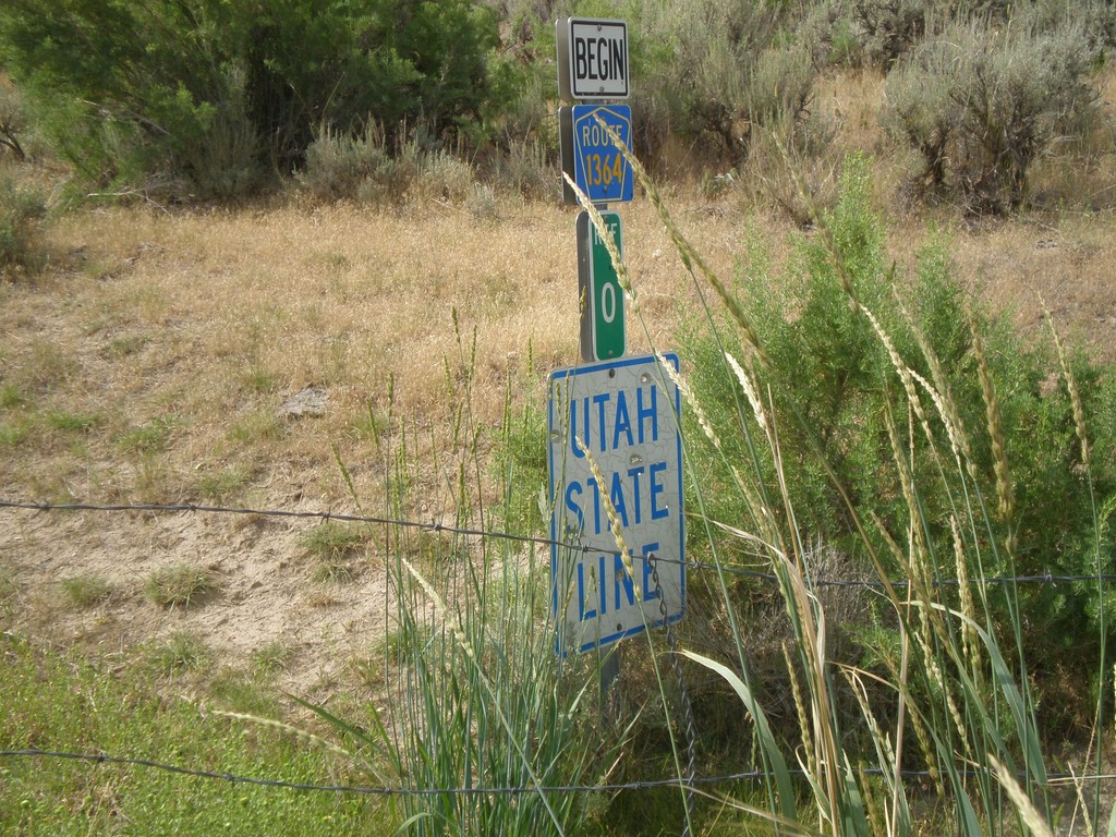
Utah State Line on CR-1364
Utah State Line on CR-1364 (Browns Park Road) at the Wyoming-Utah Border. There is a cattle guard marking the state line.
Taken 08-01-2010
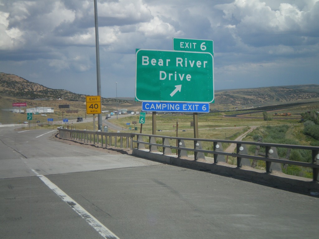
I-80 East - Exit 6
I-80 east at Exit 6 - Bear River Drive. This is the eastern end of the Evanston business loop. Access to the Evanston Rest Area, Wyoming Welcome Center, and Bear River State Park.
Taken 07-31-2010


 Evanston
Uinta County
Wyoming
United States
Evanston
Uinta County
Wyoming
United States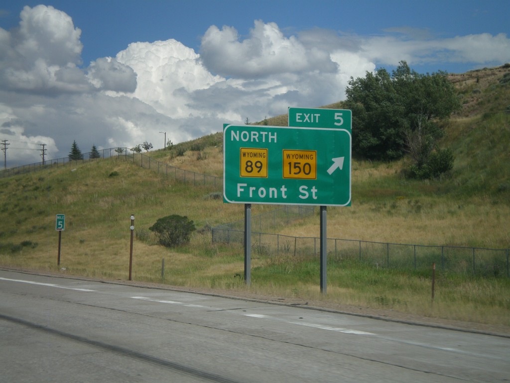
I-80 East - Exit 5
I-80 east at Exit 5 - WY-89 North/WY-150/Front St.
Taken 07-31-2010

 Evanston
Uinta County
Wyoming
United States
Evanston
Uinta County
Wyoming
United States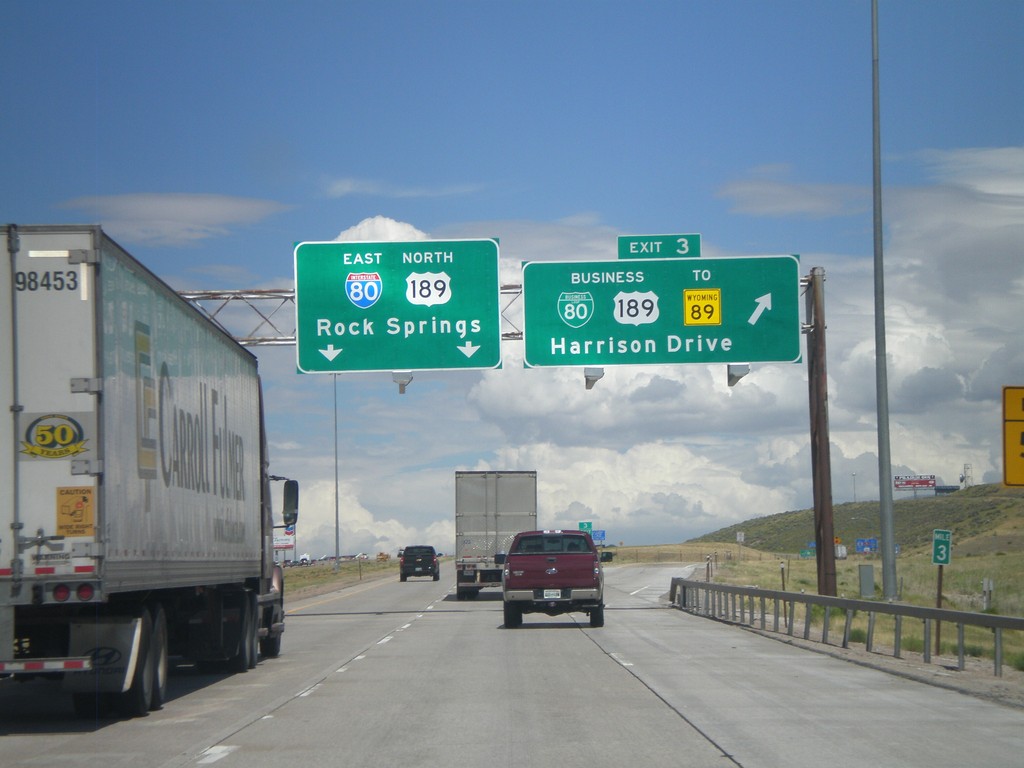
I-80 East - Exit 3
I-80 East/US-189 North at Exit 3 - BL-80/Bus. US-189/To WY-89/Harrison Drive. Continue on I-80 East/US-189 North for Rock Springs.
Taken 07-31-2010
Evanston
Uinta County
Wyoming
United States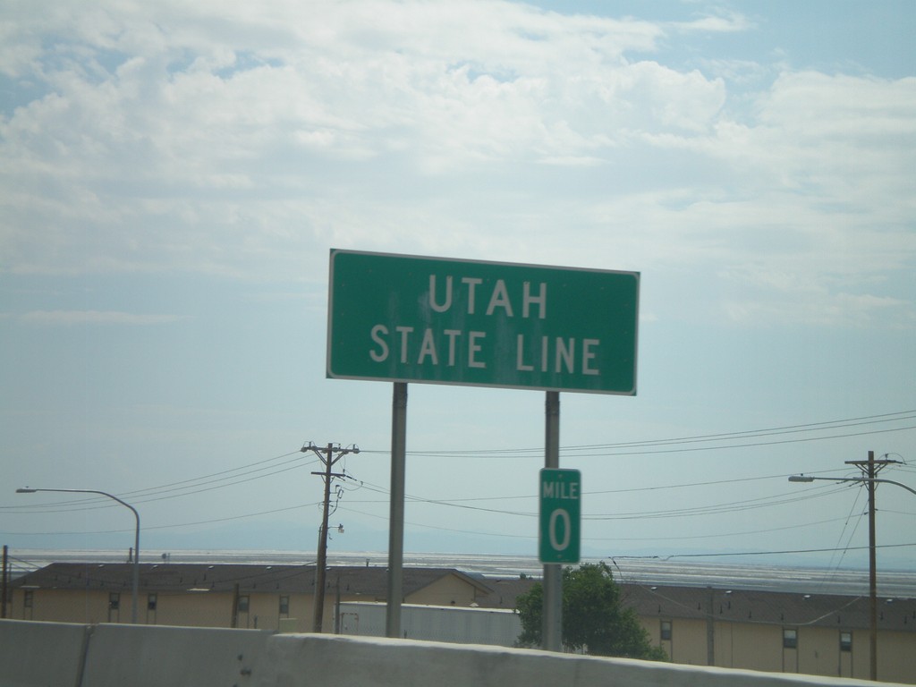
I-80 East - Utah State Line
Utah State Line on I-80 east at the Utah-Nevada border. A fancier welcome sign is just east of here. The Utah-Nevada border along I-80 is home to the twin towns of Wendover (Utah) and West Wendover (Nevada). The Nevada side has many large casinos.
Taken 07-31-2010
Wendover
Tooele County
Utah
United States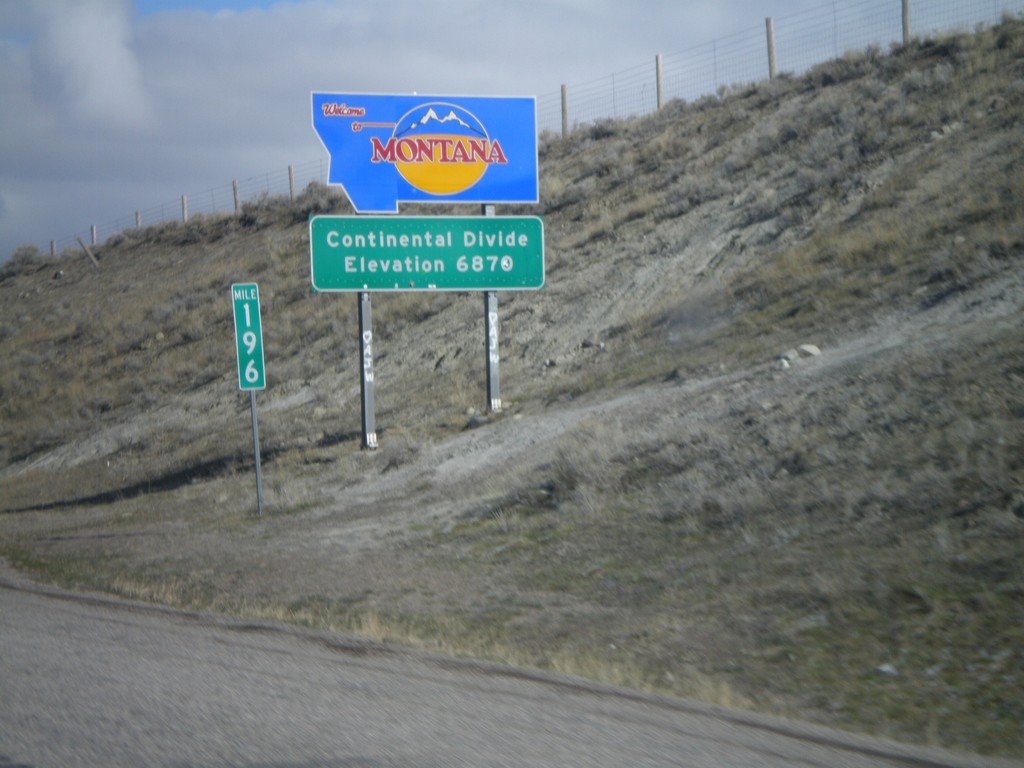
Welcome To Montana - I-15 North
Welcome to Montana on I-15 North at the Idaho-Montana state line on Monida Pass. Monida Pass is the Continental Divide.
Taken 05-02-2010
 Humphrey
Clark County
Idaho
United States
Humphrey
Clark County
Idaho
United States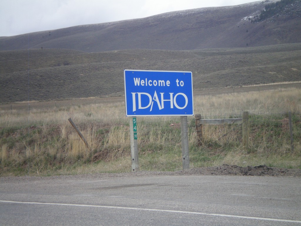
ID-61 North - Welcome To Idaho
Welcome to Idaho on ID-61 north. The Wyoming milemarker for WY-89 is attached to the sign.
Taken 05-01-2010
 Geneva
Bear Lake County
Idaho
United States
Geneva
Bear Lake County
Idaho
United States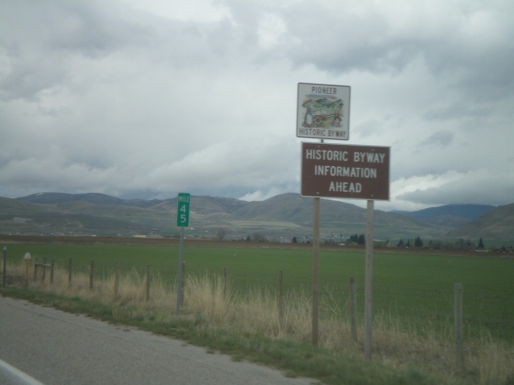
US-91 North - Historic Byway Information
Pioneer Historic Byway information on US-91 north approaching the Idaho State line. Pioneer Historic Byway is within the state of Idaho.
Taken 05-01-2010
 Cove
Cache County
Utah
United States
Cove
Cache County
Utah
United States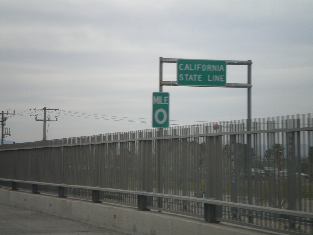
I-10 West - California State Line
California State Line on I-10 west crossing the Colorado River, at the Arizona-California Border.
Taken 03-22-2010

 Blythe
Riverside County
California
United States
Blythe
Riverside County
California
United States