Signs Tagged With Milemarker
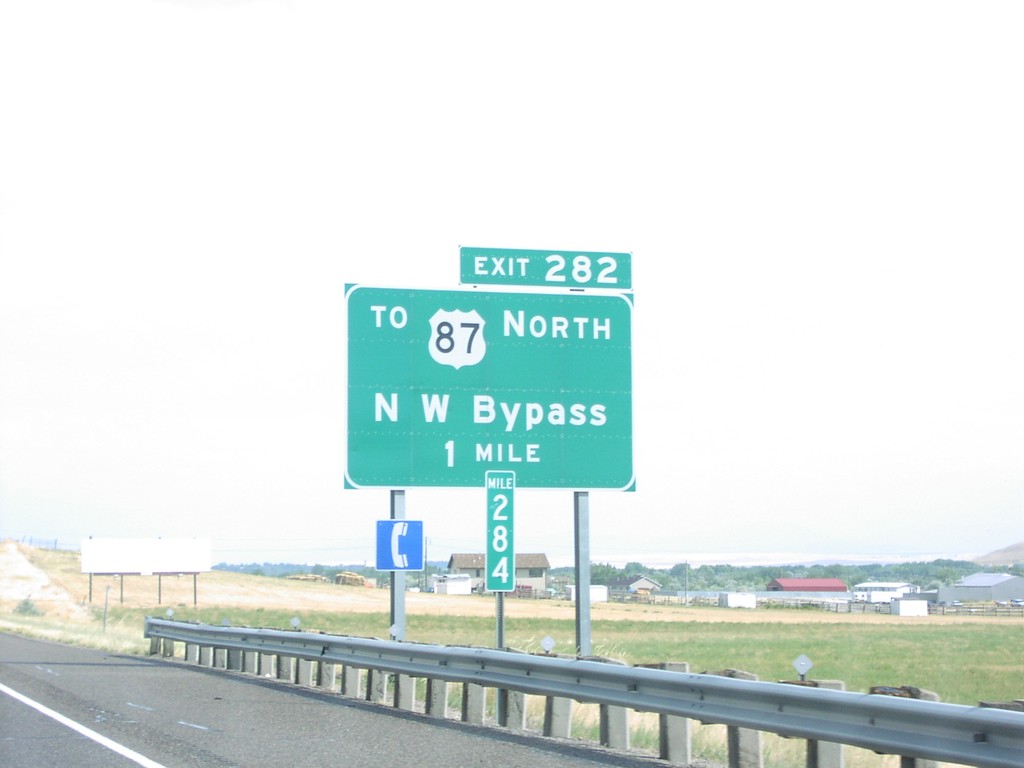
I-15 South - Exit 282
I-15 south at Exit 282 - To US-87 North/NW Bypass. For US-87 southbound traffic, it is easier to go through Great Falls.
Taken 09-09-2005


 Great Falls
Cascade County
Montana
United States
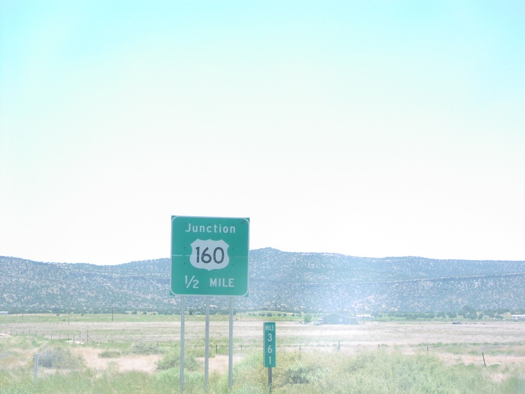
End AZ98 East at US-160
End AZ-98 east at US-160 junction in Navajo County.
Taken 05-01-2005

 Shonto
Navajo County
Arizona
United States
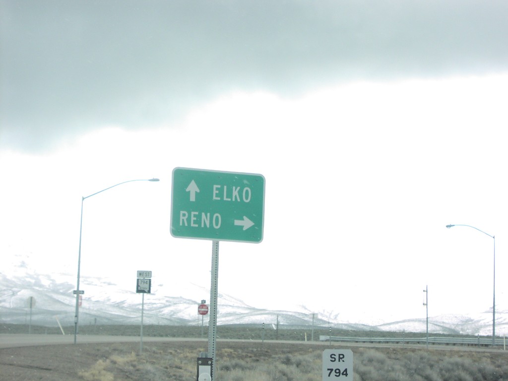
NV-794 at I-80 Exit 180 to Elko and Reno
NV-794 at I-80 junction to Elko and Reno at the eastern edge of the Winnemucca business loop.
Taken 03-01-2005

 Winnemucca
Humboldt County
Nevada
United States
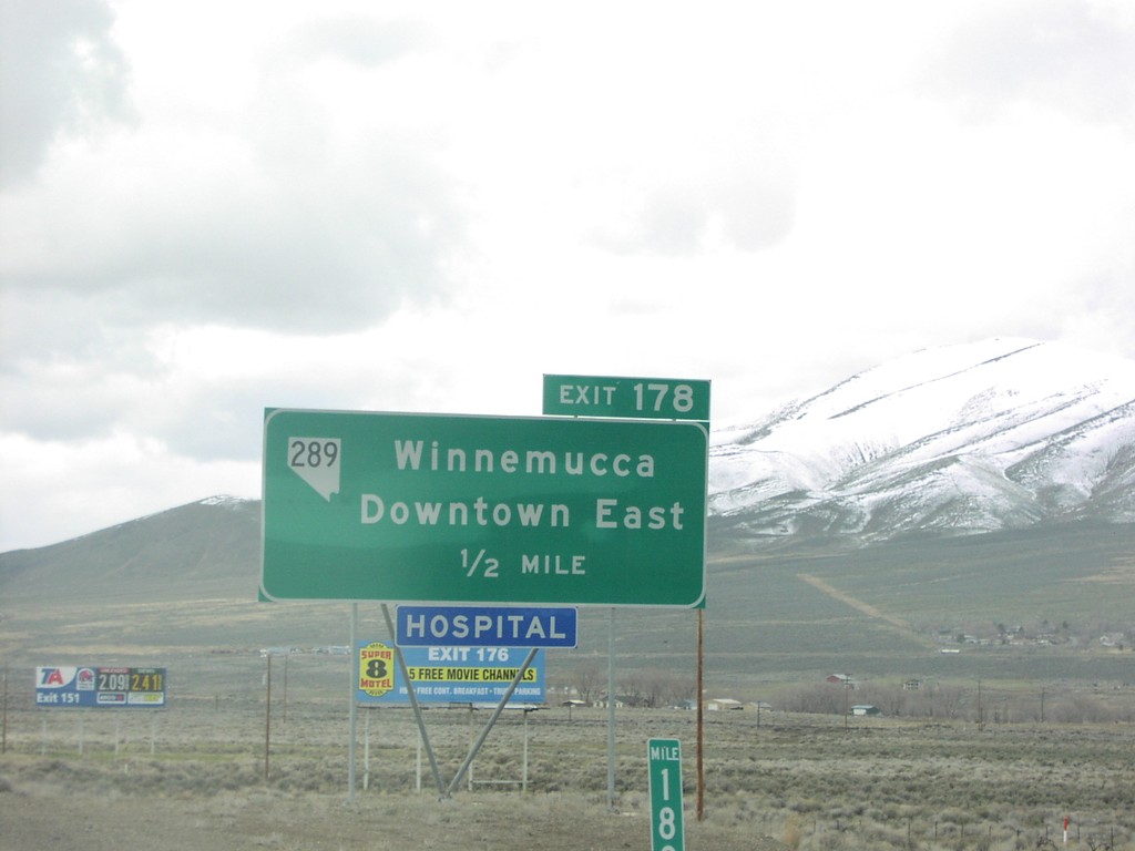
I-80 West Exit 178
I-80 west approaching NV-289, Exit 178 in Winnemucca.
Taken 03-01-2005

 Winnemucca
Humboldt County
Nevada
United States
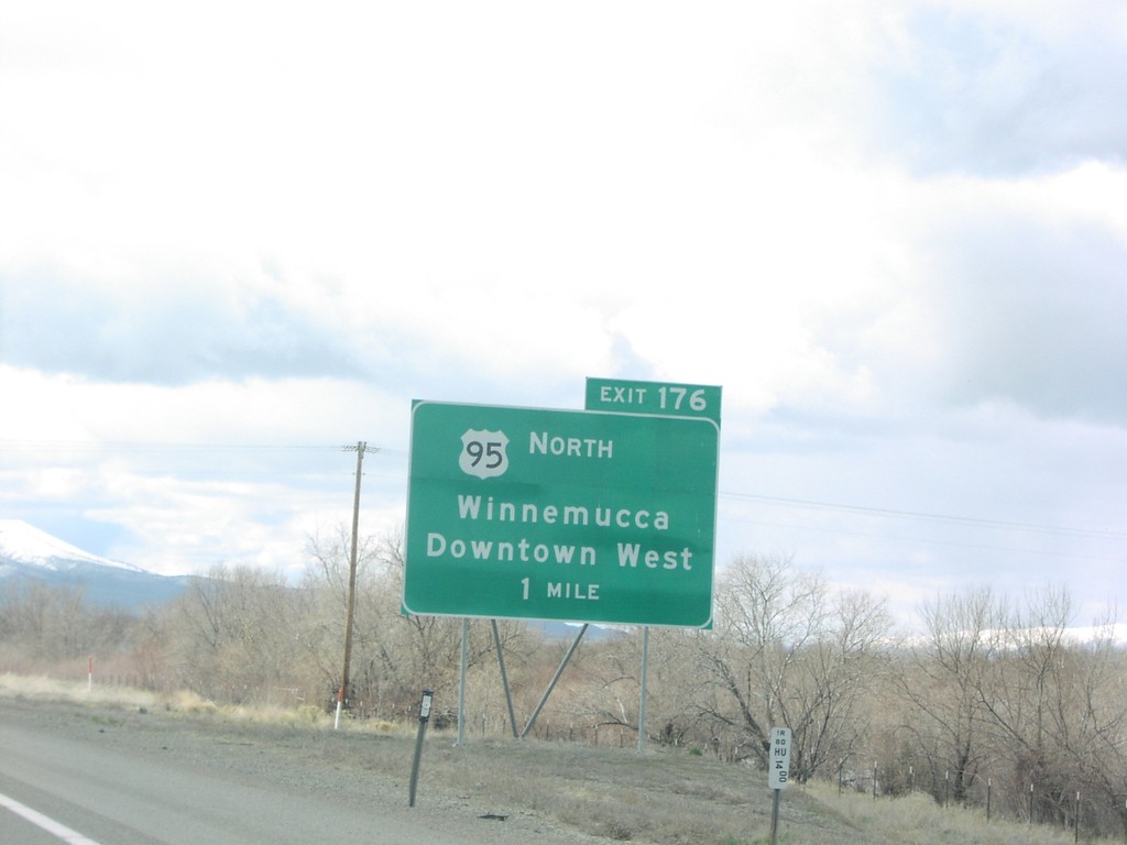
I-80 West Exit 176
I-80 west approaching US-95 north, Exit 176 in Winnemucca.
Taken 03-01-2005

 Winnemucca
Humboldt County
Nevada
United States
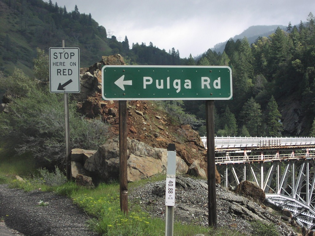
CA-70 East at Pulga Road
Pulga Road junction on CA-70 east, Pulga.
Taken 03-01-2005
 Cresta
Butte County
California
United States
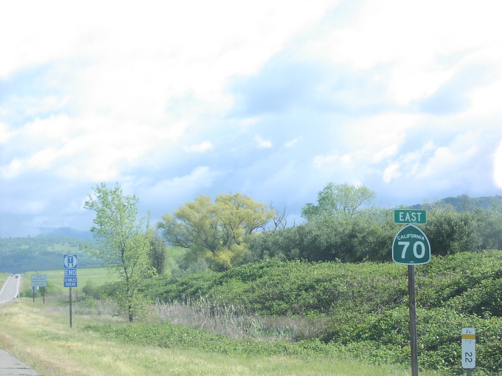
CA-70 East - Butte County
CA-70 east shield in Butte County.
Taken 03-01-2005
 Butte Valley
Butte County
California
United States
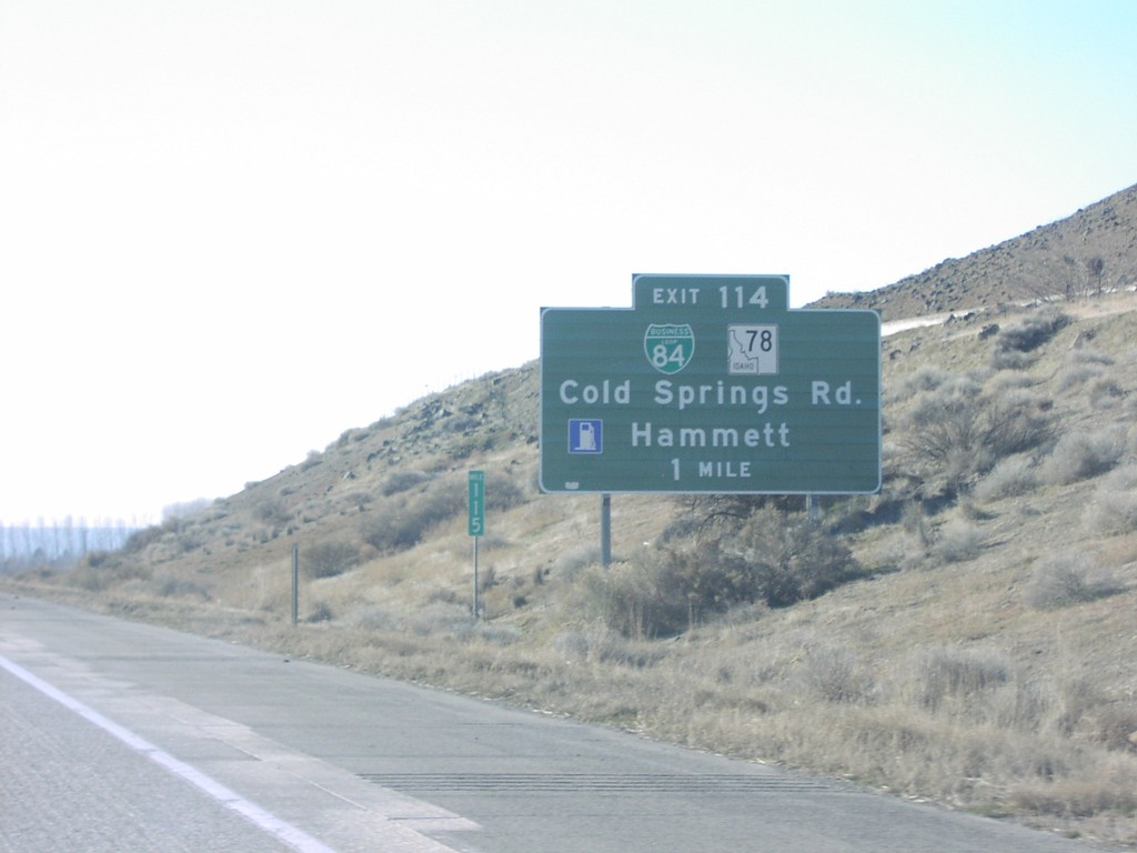
I-84 West Exit 114
I-84 west approaching Exit 114 - BL-84/ID-78/Cold Springs Road/Hammett at the eastern end of the Hammett business loop.
Taken 01-01-2005


 Hammett
Elmore County
Idaho
United States
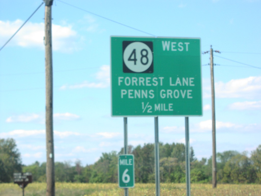
US-40 West approaching NJ-48 West
US-40 West Approaching NJ-48 to Penns Grove
Taken 10-01-2004

 Penns Grove
Salem County
New Jersey
United States
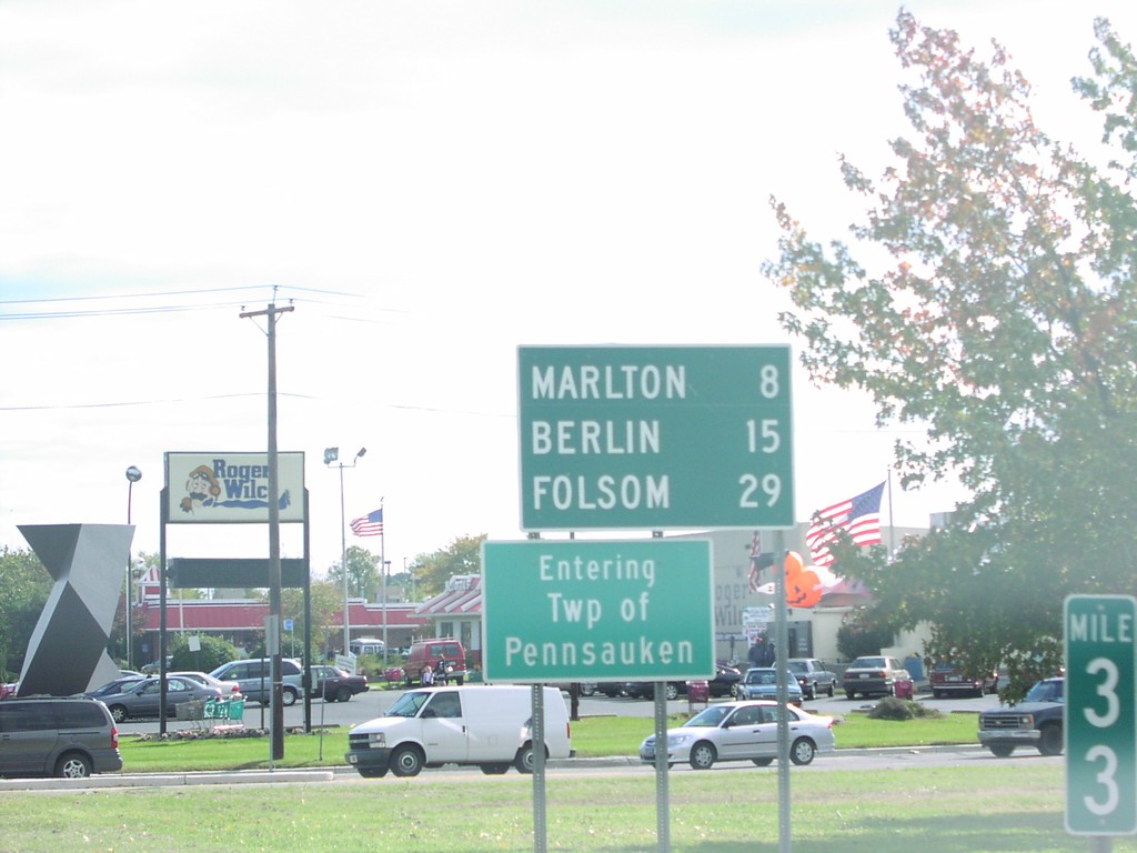
NJ-73 South - Distance Marker/Twp of Pennsauken
Entering Township of Pennsauken and Distance Marker on NJ-73 South.
Taken 10-01-2004
 Pennsauken Township
Camden County
New Jersey
United States
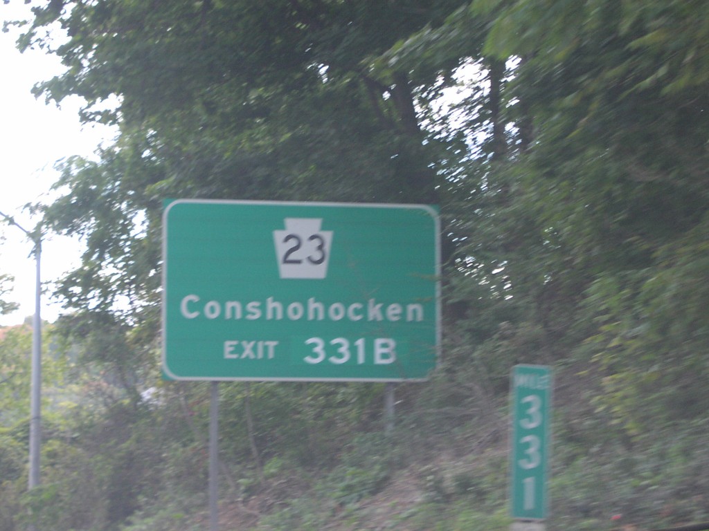
I-76 East Exit 331
PA-23/Conshohocken use Exit 331B on I-76 East
Taken 10-01-2004

 Conshohocken
Montgomery County
Pennsylvania
United States
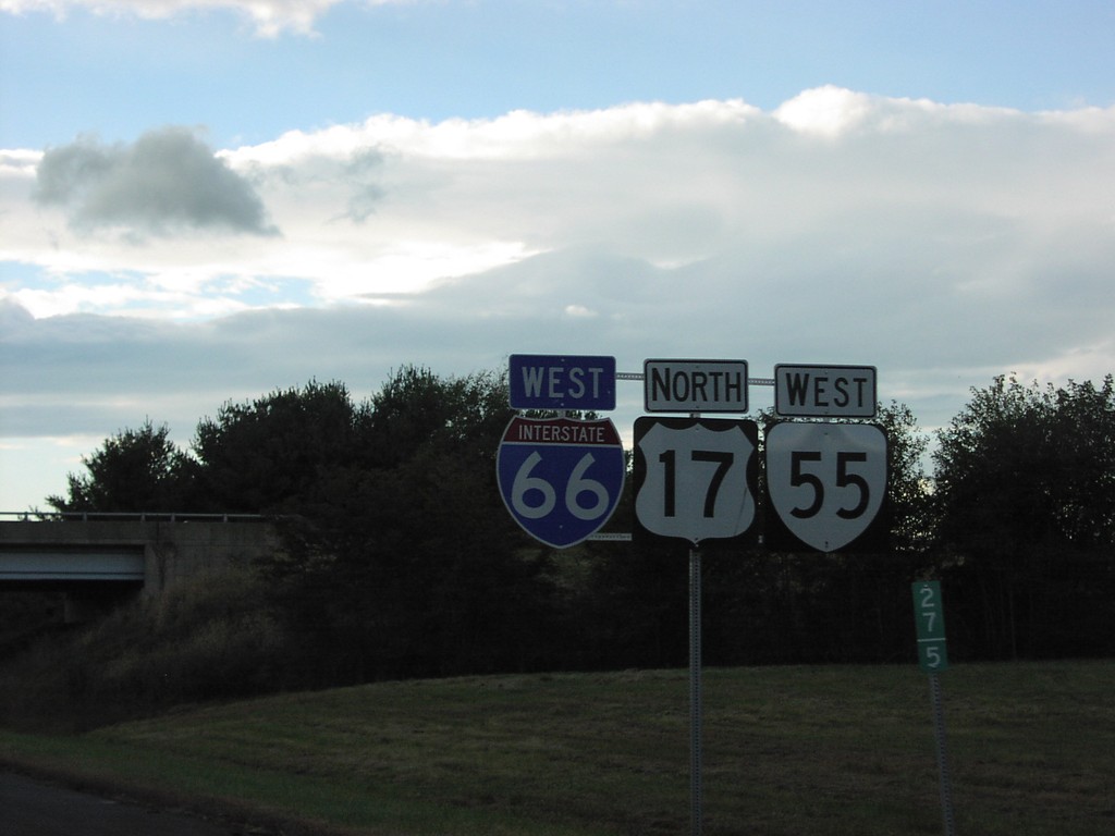
I-66/US-17/VA-55 Shields - Fauquier County
I-66/US-17/VA-55 Shields on I-66 West
Taken 10-01-2004


 Marshall
Fauquier County
Virginia
United States
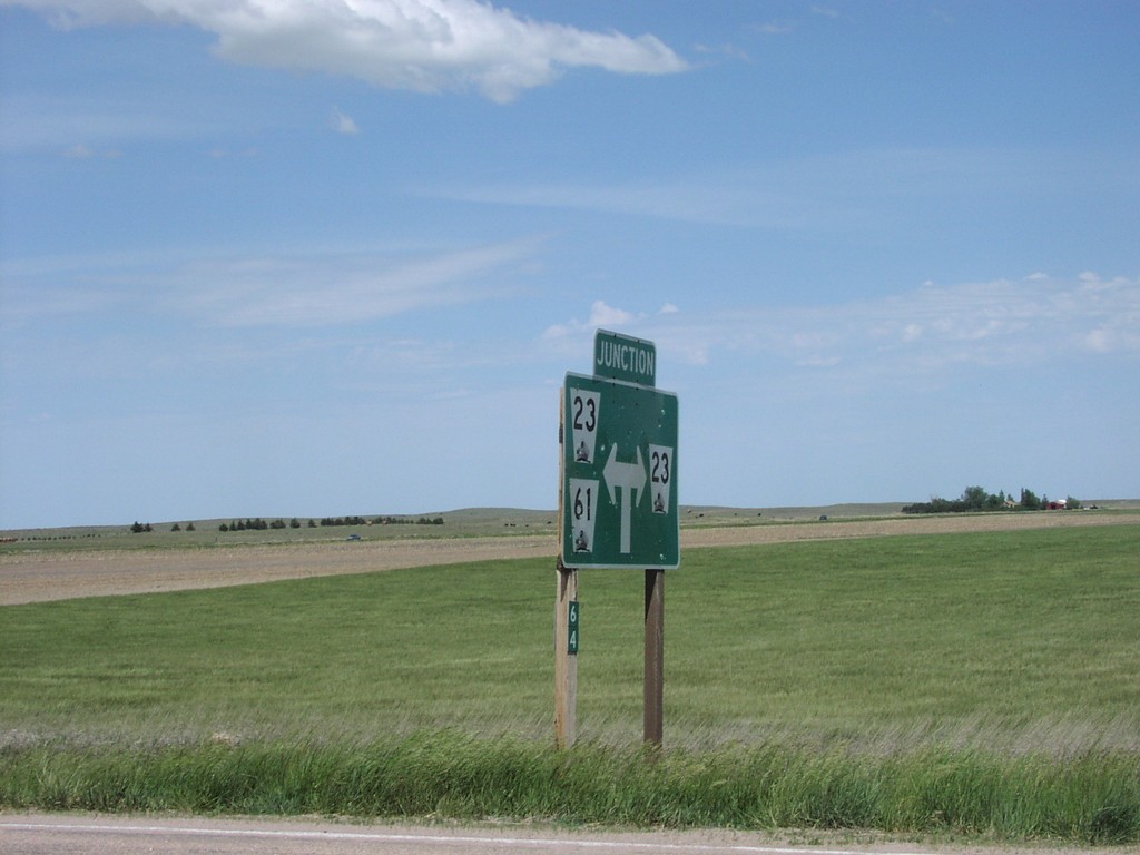
NE-61 North at NE-23
NE-61 North at NE-23 Junction Assembly
Taken 05-01-2004

 Grant
Perkins County
Nebraska
United States
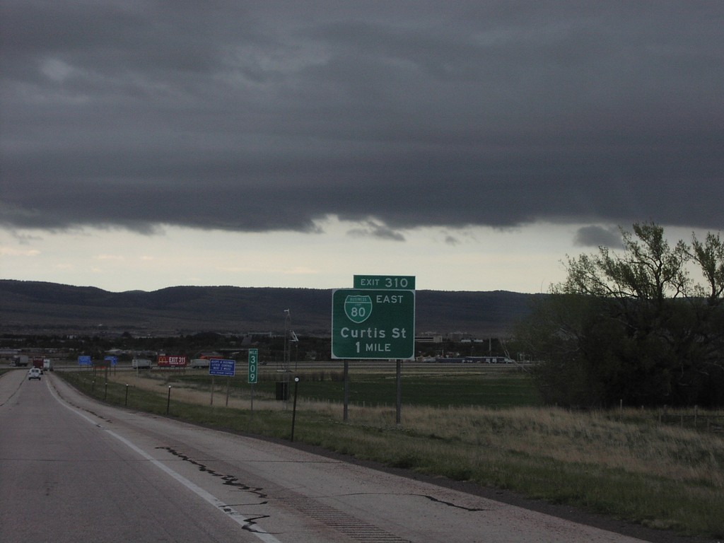
I-80 East Exit 310
I-80 East at BL-80 at Western Edge of Laramie
Taken 05-01-2004

 Laramie
Albany County
Wyoming
United States
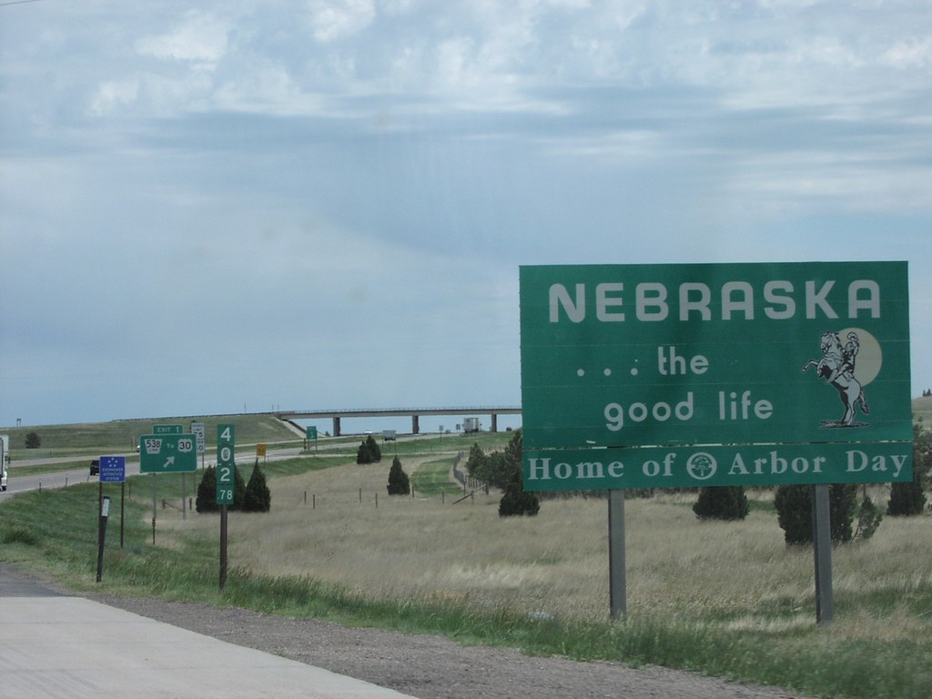
I-80 East - Welcome To Nebraska
Welcome To Nebraska on I-80 East at Wyoming Border
Taken 05-01-2004
 Bushnell
Kimball County
Nebraska
United States
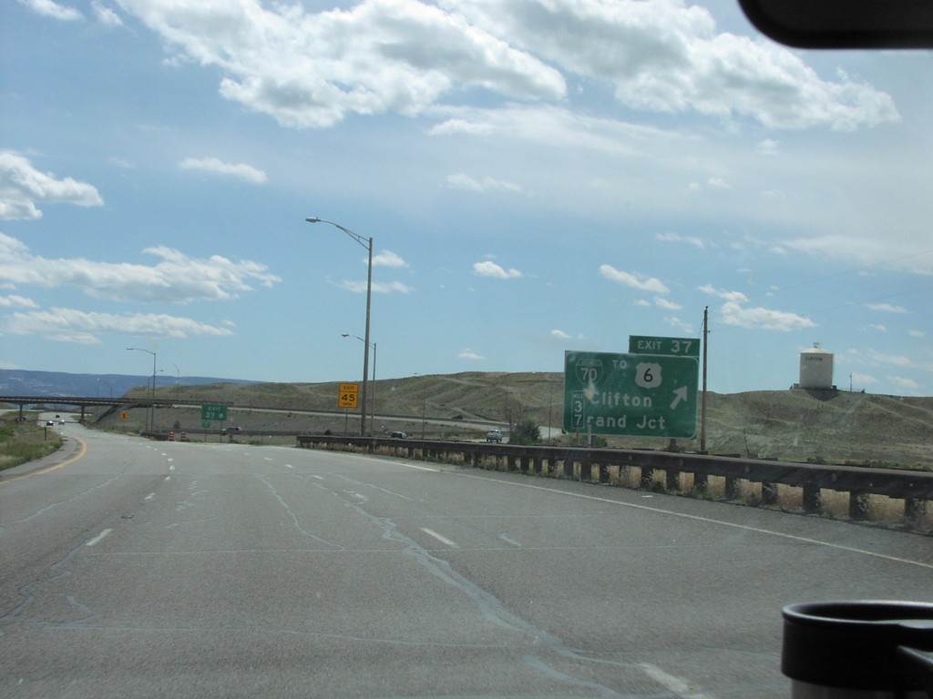
I-70 West - Exit 37
I-70 West at BL-70/To US-6/Clifton/Grand Junction.
Taken 05-01-2004


 Clifton
Mesa County
Colorado
United States
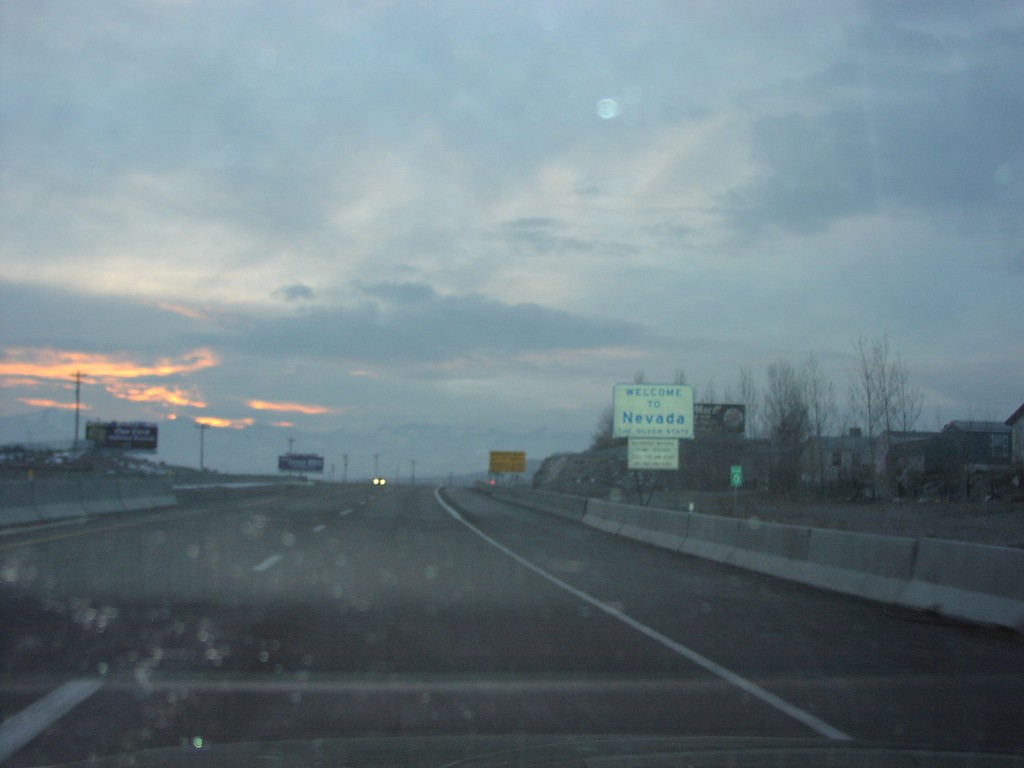
I-80 West - Welcome To Nevada
Welcome To Nevada on I-80 West, Nevada-Utah Border
Taken 02-01-2004
 West Wendover
Elko County
Nevada
United States
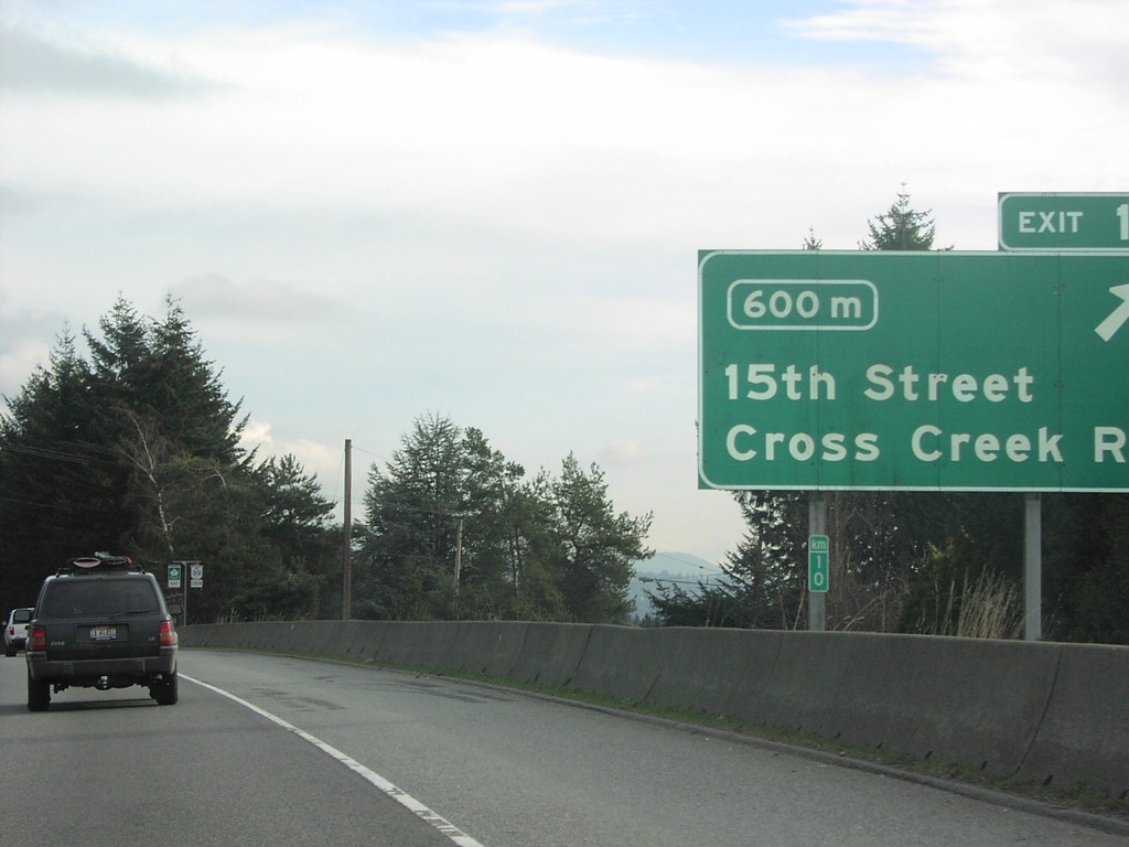
TC-1 East - Exit 10
TC-1 East at Exit 10 15th St./Cross Creek Road and Km 10.
Taken 01-01-2004

 West Vancouver
Metro Vancouver
British Columbia
Canada
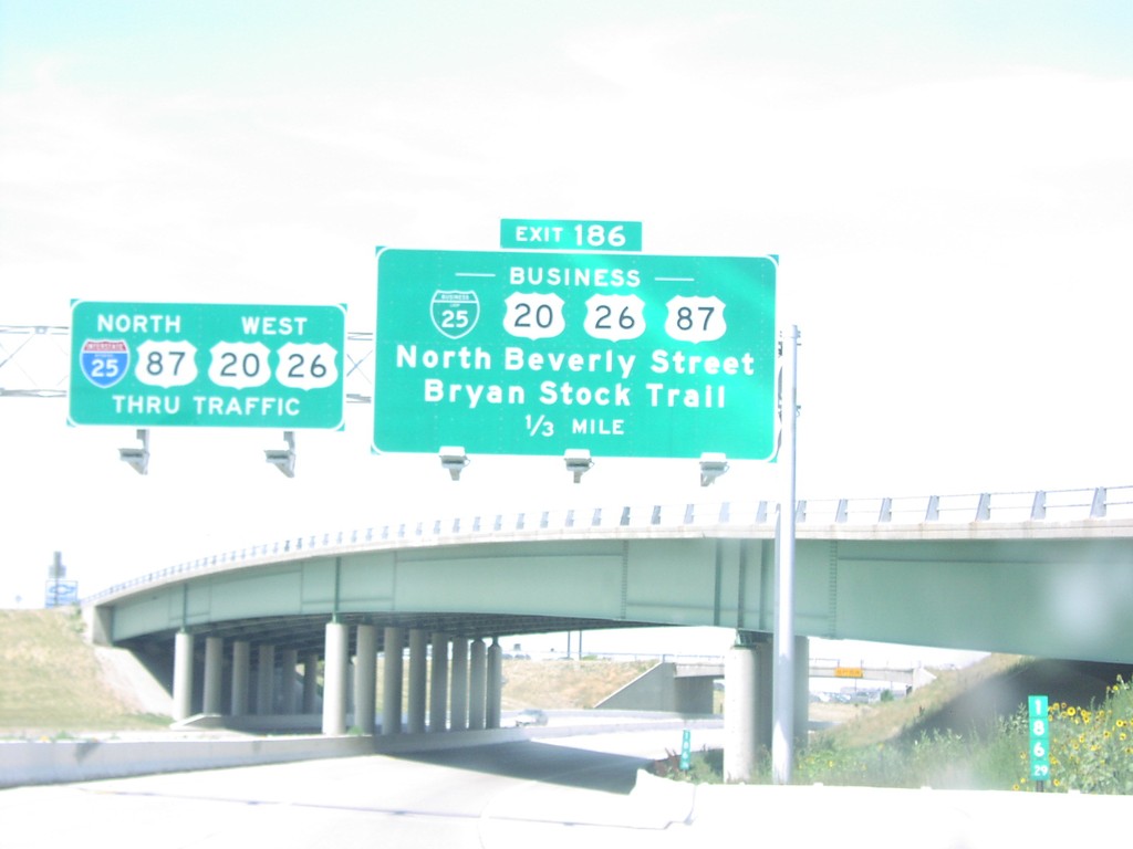
I-25 North Exit 186
BL-25/BL US-20/BL US-26/BL US-87/Beverly St./Bryan Stock Trail Exit on I-25 North
Taken 07-01-2003


 Casper
Natrona County
Wyoming
United States
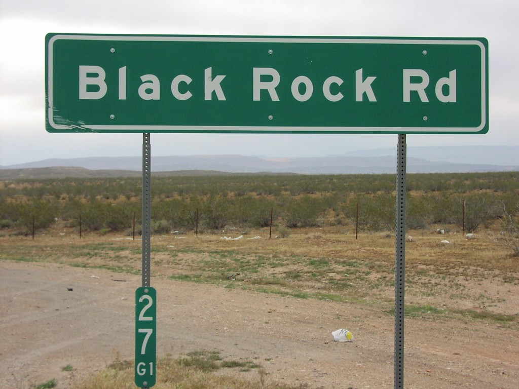
I-15 Exit 27 Interchange
I-15 Exit 27 offramp at Black Rock Road.
Taken 05-01-2003
 Littlefield
Mohave County
Arizona
United States
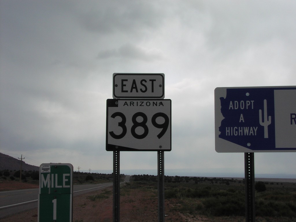
AZ-398 East - Mohave County
AZ-389 shield in rural Mohave County between Colorado City and Fredonia.
Taken 05-01-2003
 Kaibab
Mohave County
Arizona
United States
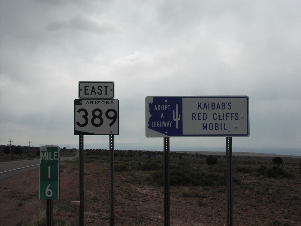
AZ-389 East - Adopt A Highway and Milemarker
Adopt a Highway, state highway shield, and milemarker along AZ-398 east between Colorado City and Freedonia.
Taken 05-01-2003
 Kaibab
Mohave County
Arizona
United States
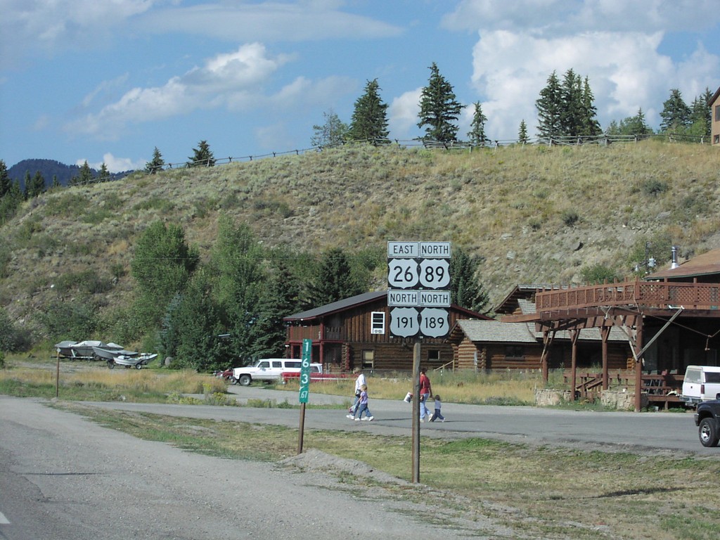
US-26/US-89/US-191/US-189 - Hoback Jct.
US-26 East/US-89/US-191/US-189 North shields, just north of Hoback Junction.
Taken 08-01-2002


 Jackson
Teton County
Wyoming
United States
I-15 North - Exit 8
I-15 north at Exit 8 - Littlefield/Beaver Dam.
Taken 03-01-2001
 Littlefield
Mohave County
Arizona
United States
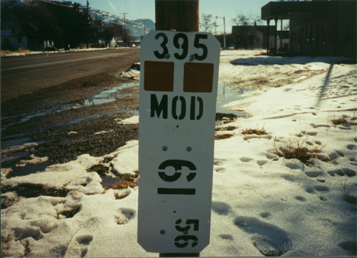
US-395 South - Postmile
California Postmile on US-395 South at the Oregon-California border. This postmile is attached to the California welcome sign. The number at the top refers to the route (US-395). The second line is the county abbreviation (Modoc County), and the bottom number is the mile from the previous county or state line. In this case 61.56 miles from the Lassen/Modoc County Line.
Taken 12-01-2000
 New Pine Creek
Modoc County
California
United States