Signs Tagged With Milemarker
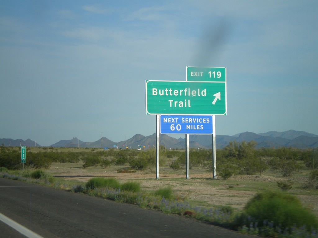
I-8 East - Exit 119
I-8 east at Exit 119 - Butterfield Trail. This is the eastern end of the Gila Bend business loop.
Taken 03-20-2010

 Gila Bend
Maricopa County
Arizona
United States
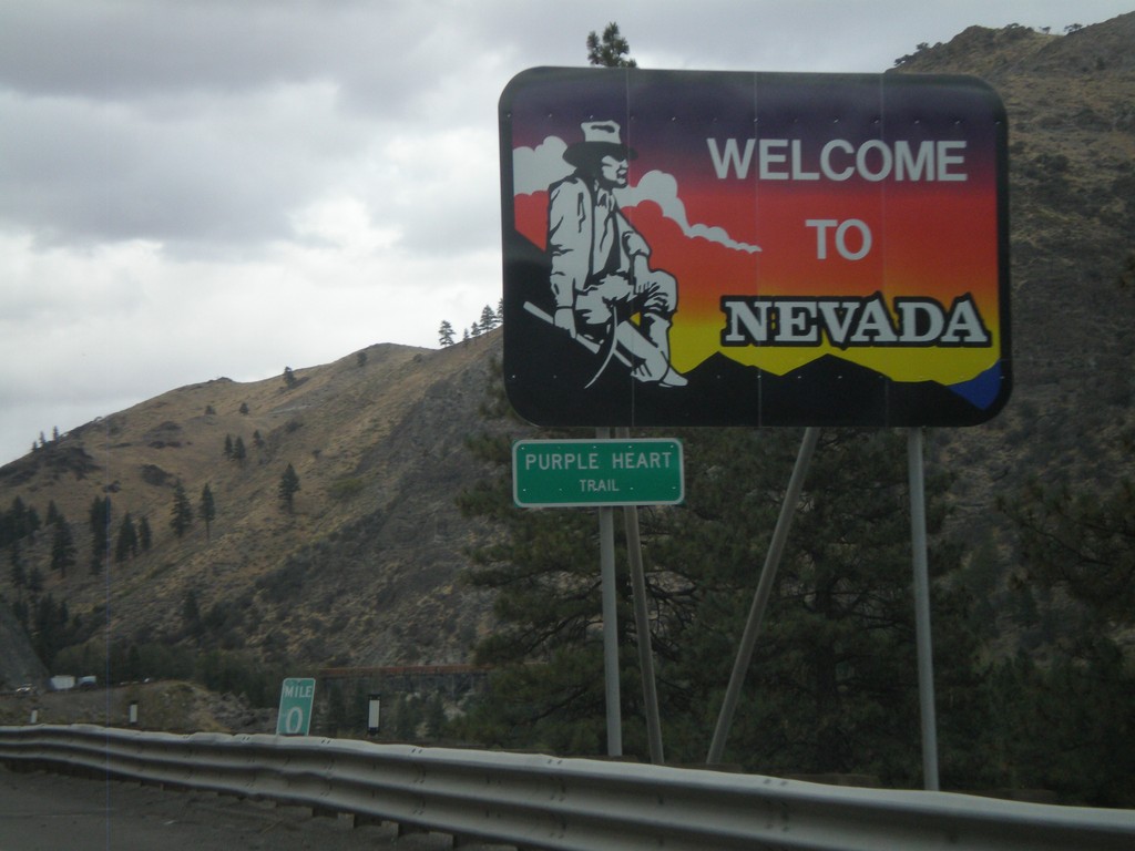
I-80 East - Welcome To Nevada
Welcome To Nevada on I-80 east at the California-Nevada state line. I-80 through Nevada is called the Purple Heart Trail.
Taken 10-04-2009
 Reno
Washoe County
Nevada
United States
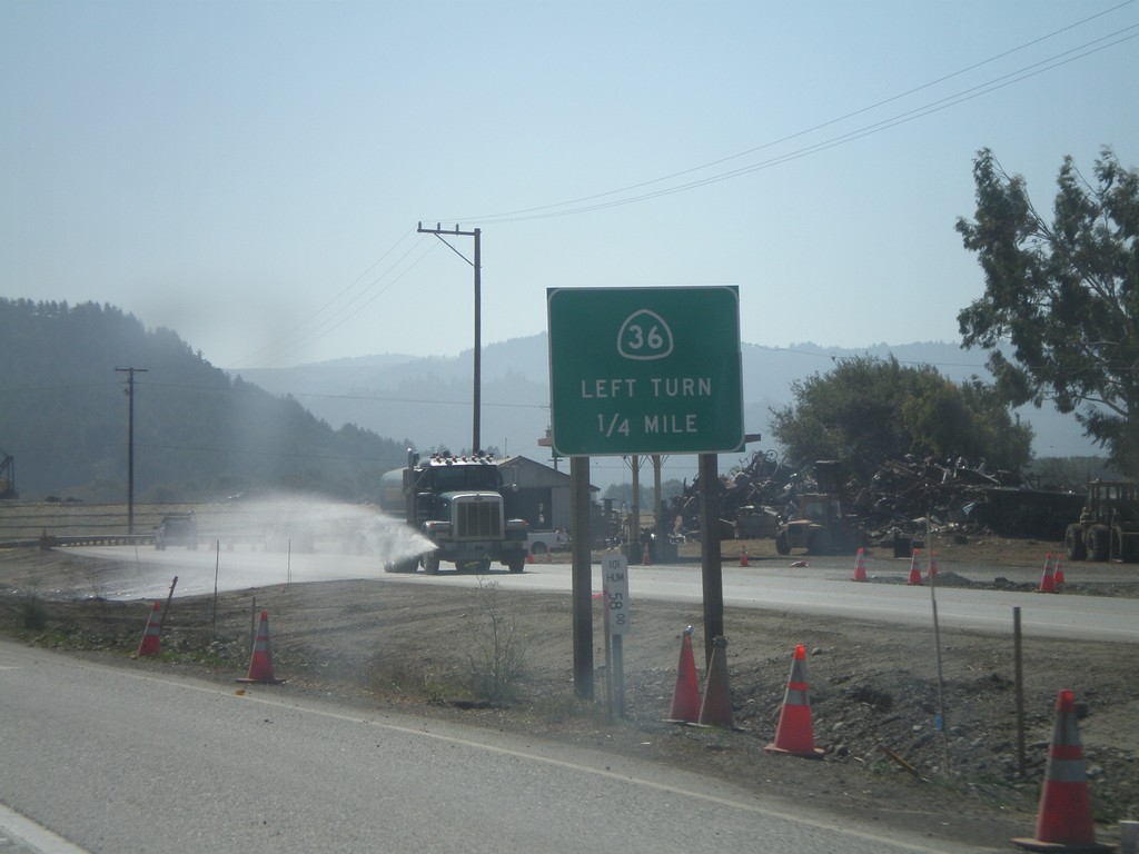
US-101 South Approaching CA-36
US-101 south approaching CA-36 east.
Taken 09-25-2009

 Fortuna
Humboldt County
California
United States
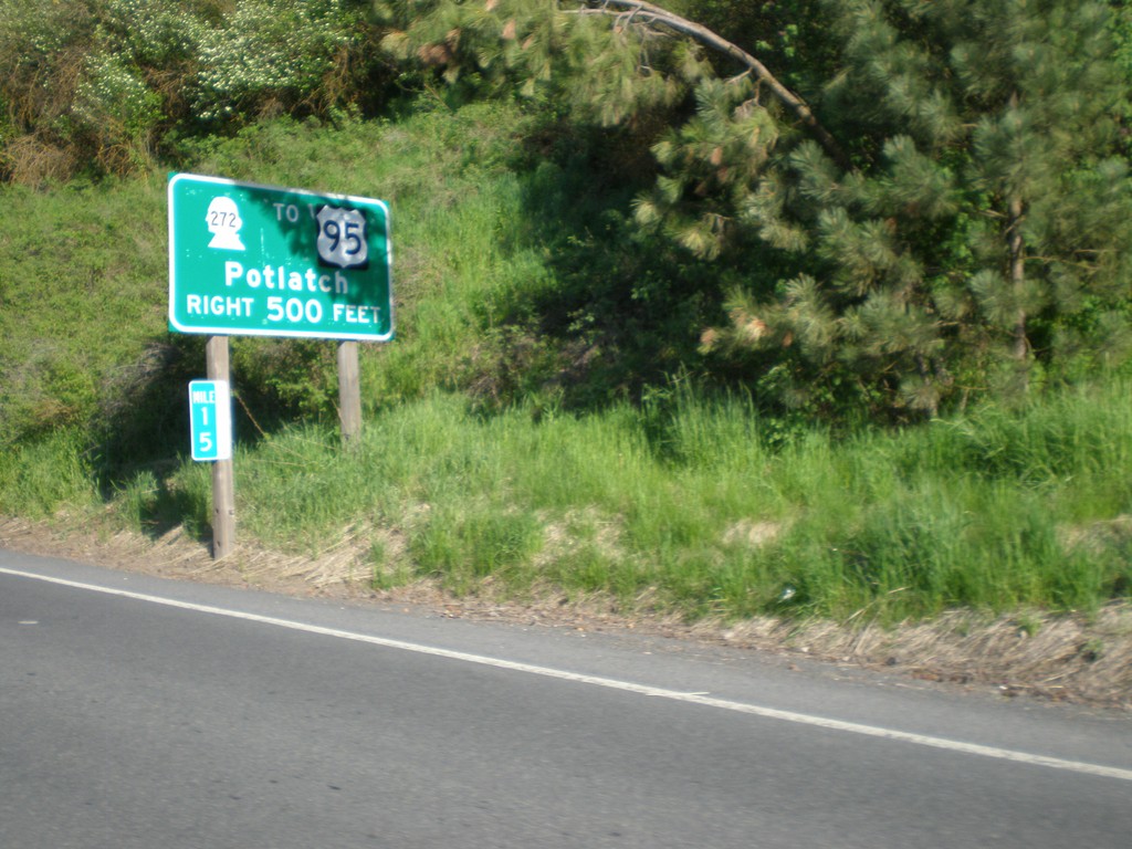
WA-27 North Approaching WA-272 to US-95
WA-27 north approaching WA-272 to US-95 to Potlatch (Idaho). Normally US highway shields on big green signs in Washington are cutout and do not have the black box around the shield.
Taken 05-25-2009

 Palouse
Whitman County
Washington
United States
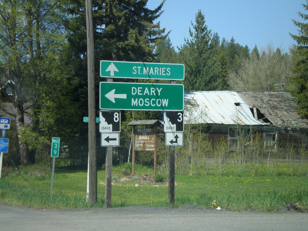
ID-8 West at ID-3
ID-8 west at ID-3. ID-8 west joins ID-3 south to Deary. Use ID-8/ID-3 for Deary and Moscow. Use ID-3 north for St. Maries.
Taken 05-21-2009

 Bovill
Latah County
Idaho
United States
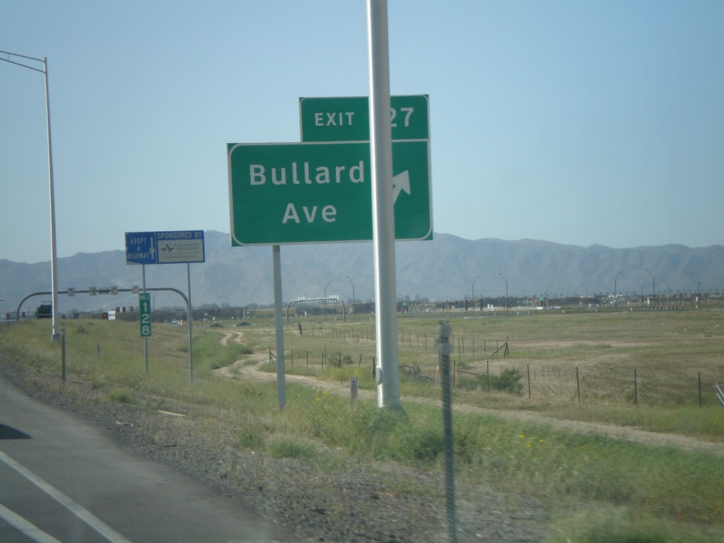
I-10 West - Exit 127
I-10 west at Exit 127 - Bullard Ave. This is a new interchange.
Taken 03-23-2009
 Goodyear
Maricopa County
Arizona
United States
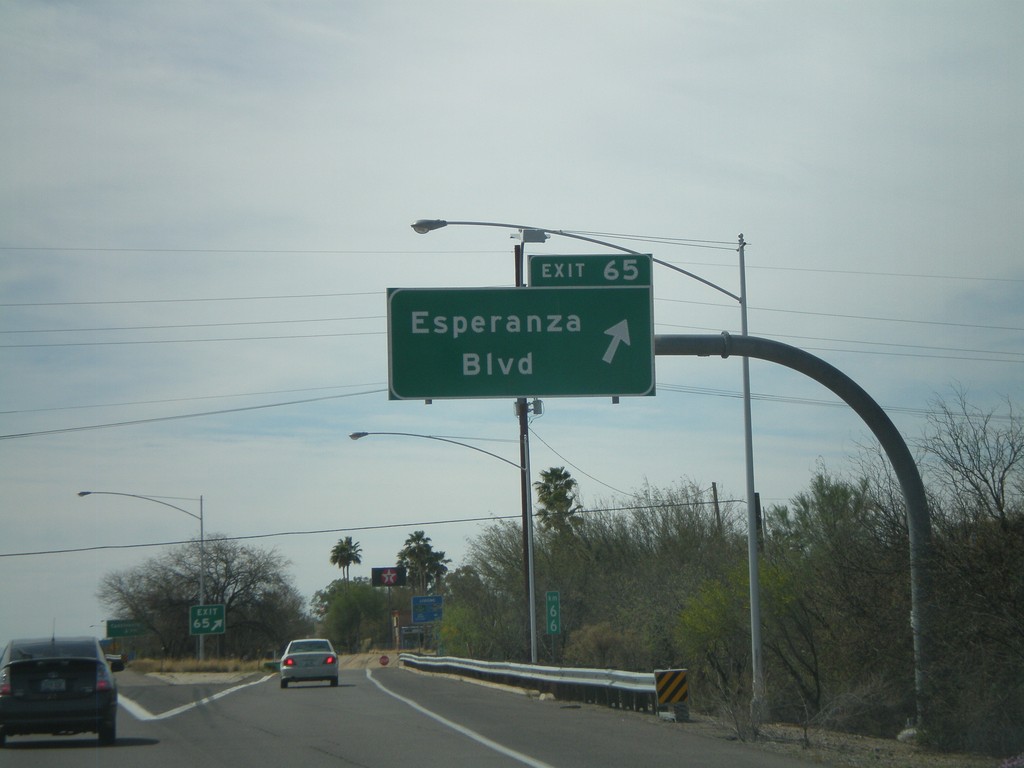
I-19 South - Exit 65
I-19 south at Exit 65 - Esperanza Blvd.
Taken 03-22-2009
 Green Valley
Pima County
Arizona
United States
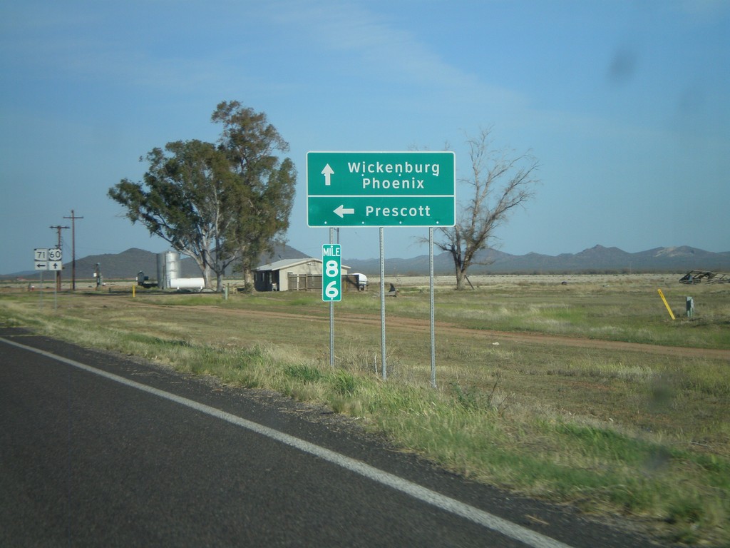
US-60 East at AZ-71
US-60 east at AZ-71 north to Prescott. Continue on US-60 for Wickenburg and Phoenix.
Taken 03-21-2009

 Wickenburg
Maricopa County
Arizona
United States
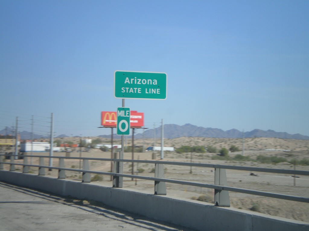
I-10 East - Arizona State Line
Arizona State Line on I-10 east on the Colorado River bridge. Mile 0 marker is attached to the sign.
Taken 03-21-2009

 Blythe
Riverside County
California
United States
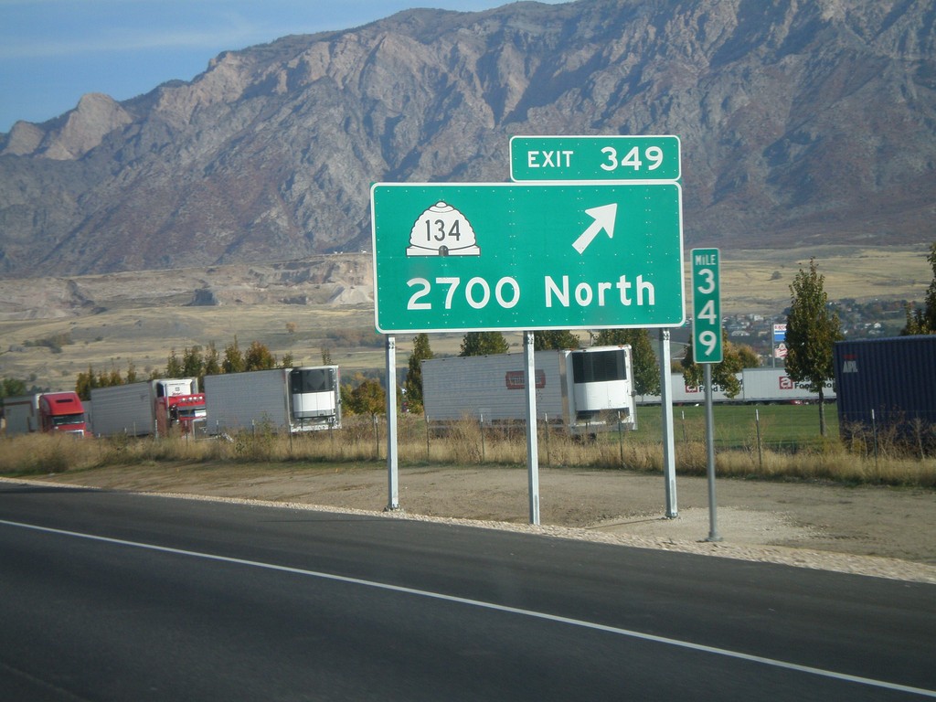
I-15 North - Exit 349
I-15 north at Exit 349 - UT-134/2700 North.
Taken 10-26-2008

 Farr West
Weber County
Utah
United States