Signs Tagged With Milemarker
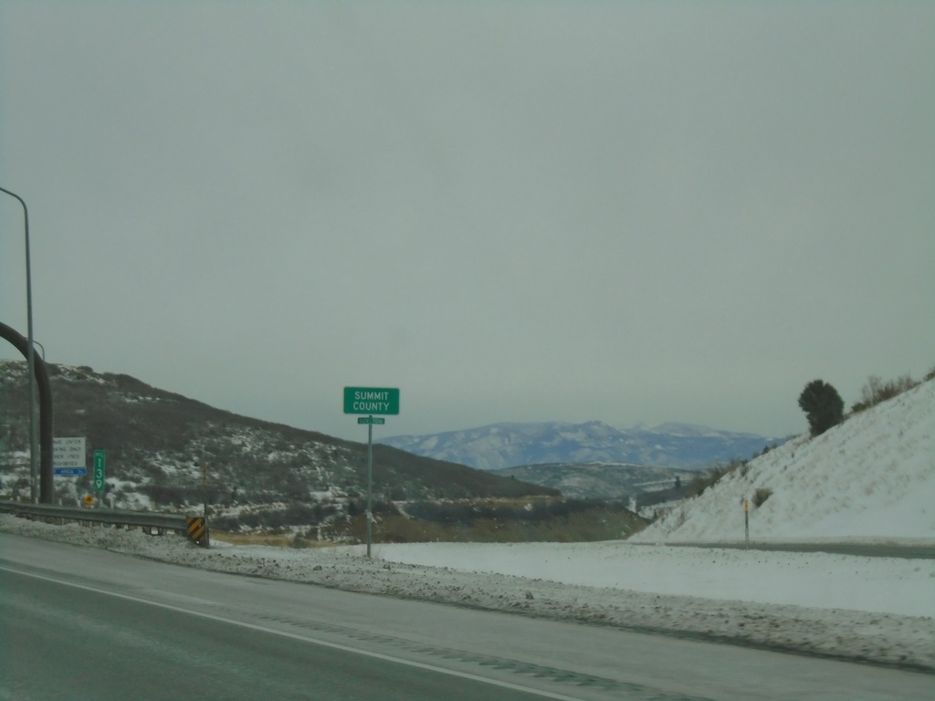
I-80 East - Summit County
Entering Summit County on I-80 East at Parleys Summit - 7120 Feet. This is the highest point along I-80 in the state of Utah.
Taken 12-30-2020
 Park City
Summit County
Utah
United States
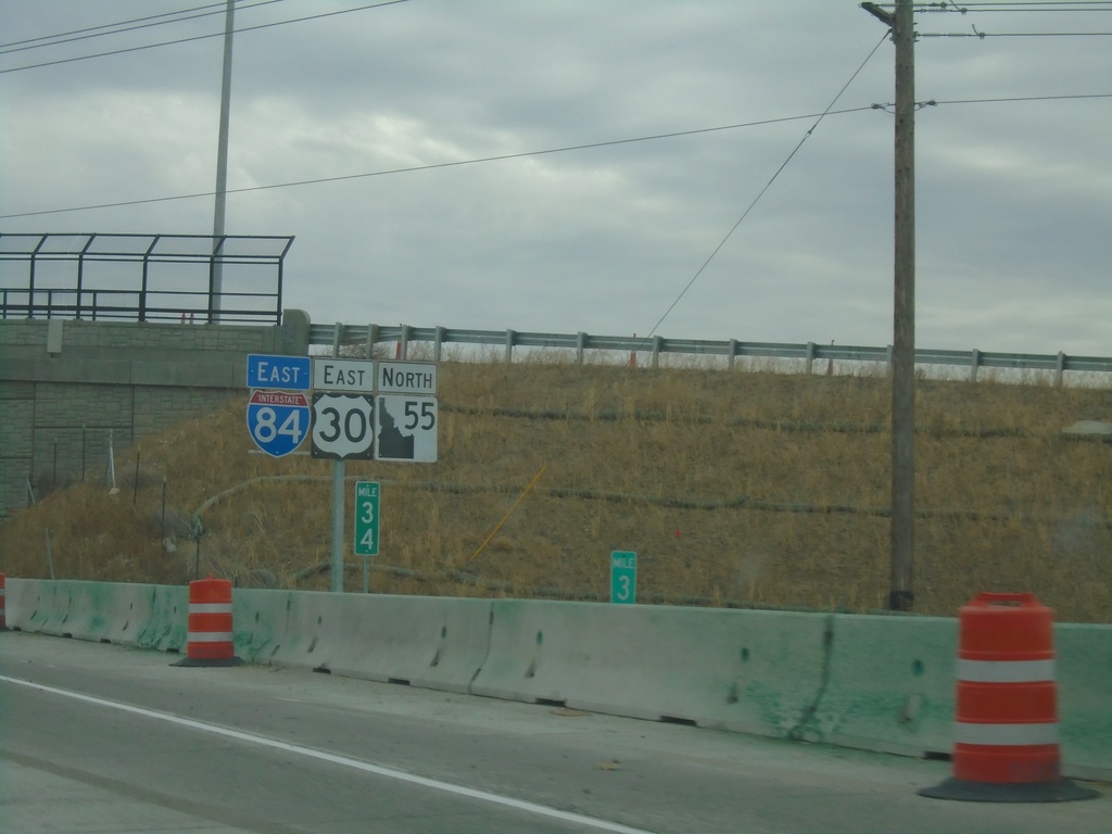
I-84/US-30 East/ID-55 North - Nampa
I-84/US-30 East/ID-55 North in Nampa
Taken 11-06-2020


 Nampa
Canyon County
Idaho
United States
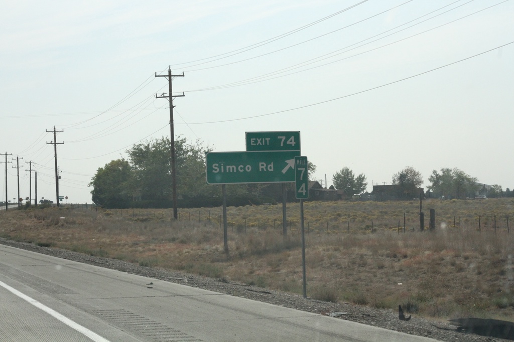
I-84 East - Exit 74
I-84 east at Exit 74 - Simco Road. Mile marker 74.
Taken 10-02-2020


 Boise
Elmore County
Idaho
United States
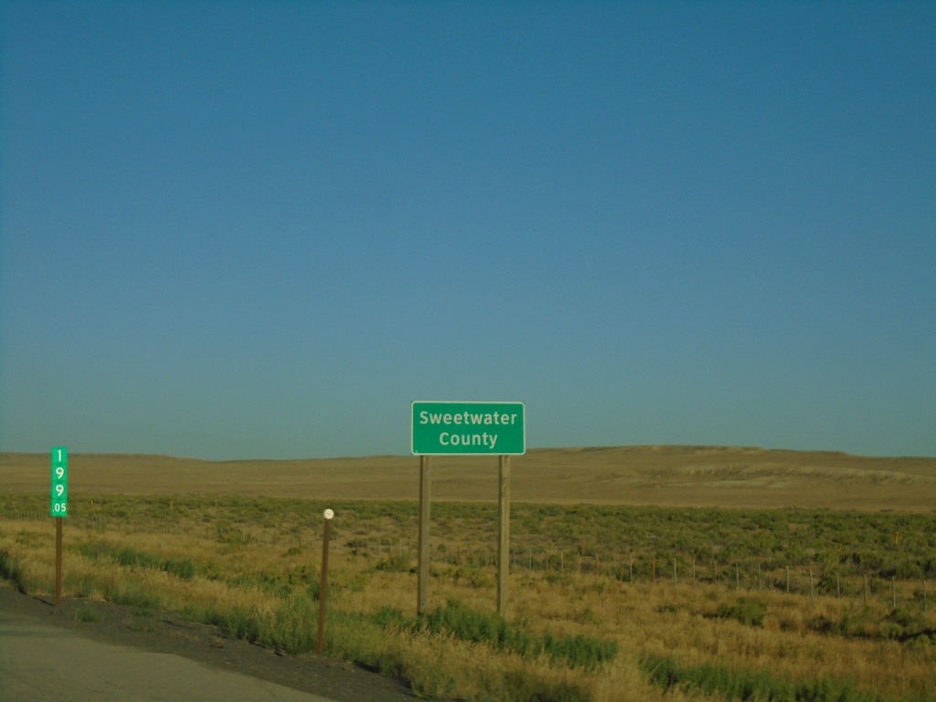
I-80 West - Sweetwater County
Entering Sweetwater County on I-80 west. Milemarker 199.05.
Taken 08-15-2020


 Riner
Sweetwater County
Wyoming
United States
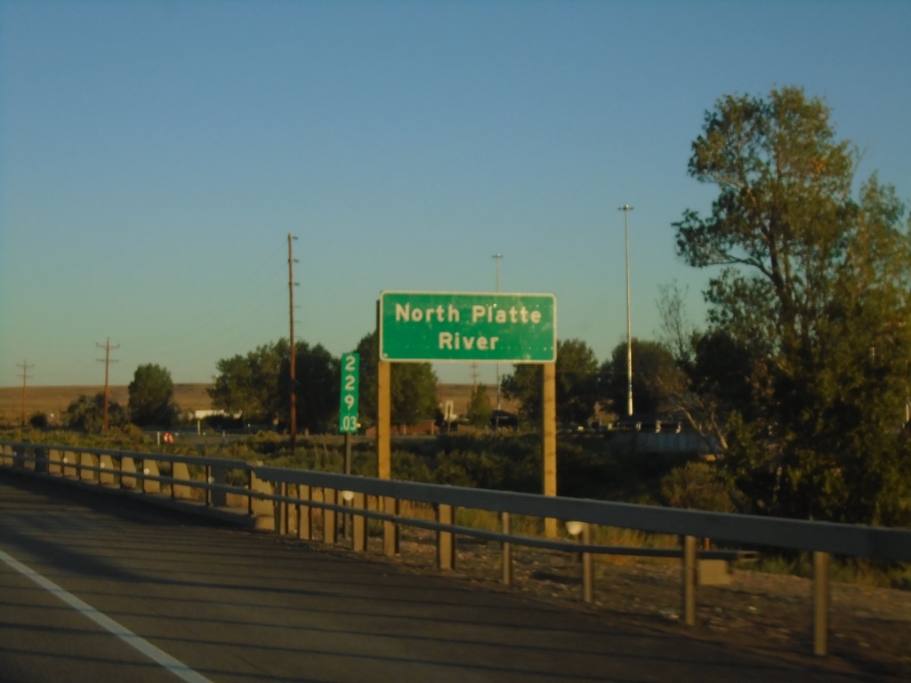
I-80 West - North Platte River
I-80 west crossing the North Platte River in Carbon County. Milemarker 229.03 in the background.
Taken 08-15-2020


 Sinclair
Carbon County
Wyoming
United States
WY-28 East - Fremont County
Entering Fremont County on WY-28 east.
Taken 08-13-2020
 Lander
Fremont County
Wyoming
United States
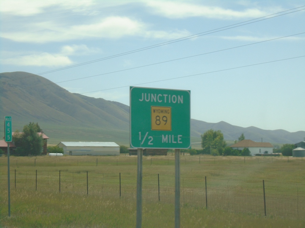
US-30 East Approaching WY-89
US-30 East approaching WY-89 at Border Junction. WY-89 south joins US-30 east to Sage Junction. While the upcoming junction is in Wyoming, this picture is in Idaho. Milemarker 455 of US-30 in Idaho is in the background.
Taken 08-13-2020

 Montpelier
Bear Lake County
Idaho
United States
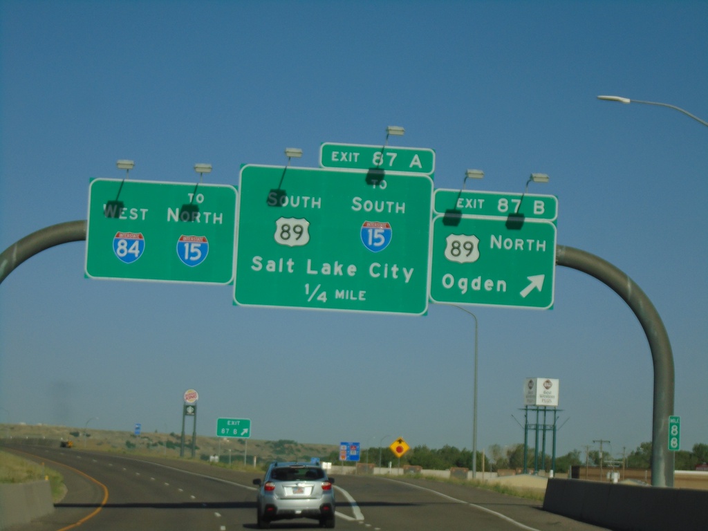
I-84 West - Exits 87A and 87B
I-84 west at Exit 87B - US-89 North/Ogden. Approaching US-89 South/To I-15 South/Salt Lake City. Continue west on I-84 for I-15 north.
Taken 07-18-2020


 Uintah
Weber County
Utah
United States
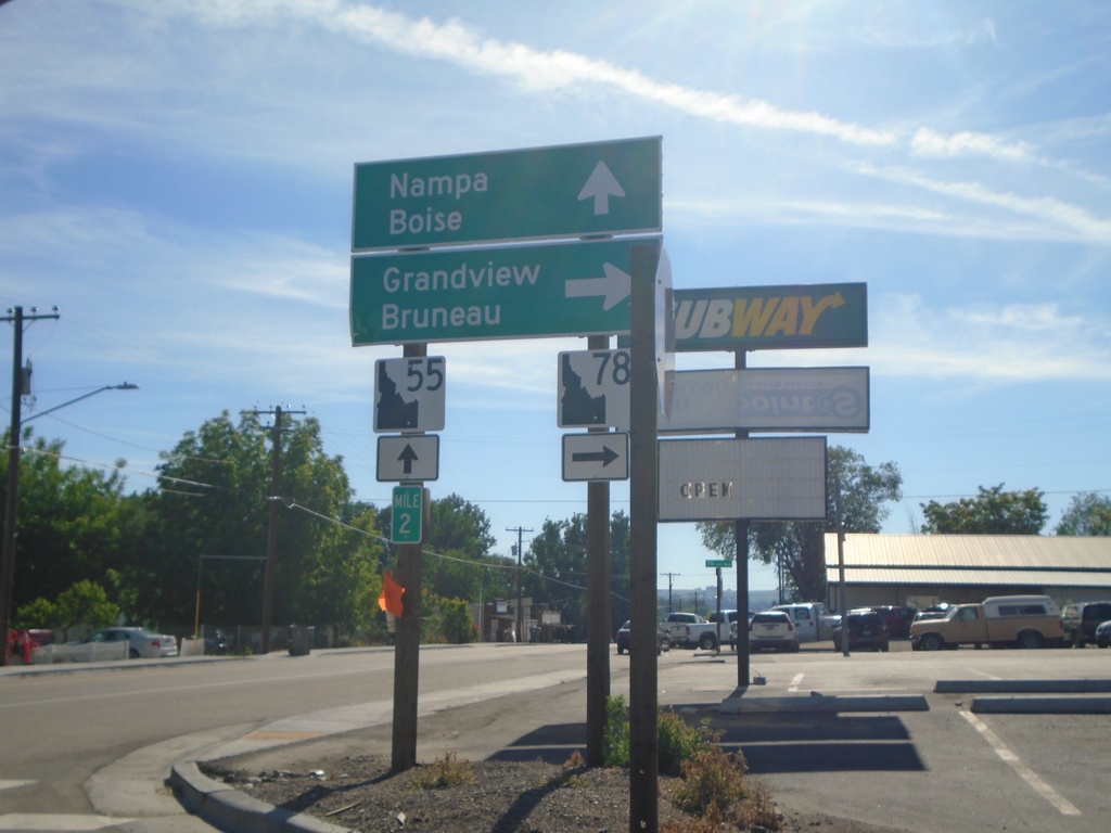
ID-55 North at ID-78
ID-55 north at ID-78 junction to Grandview and Bruneau. Continue north on ID-55 to Nampa and Boise. Milepost 2.
Taken 06-19-2020

 Marsing
Owyhee County
Idaho
United States
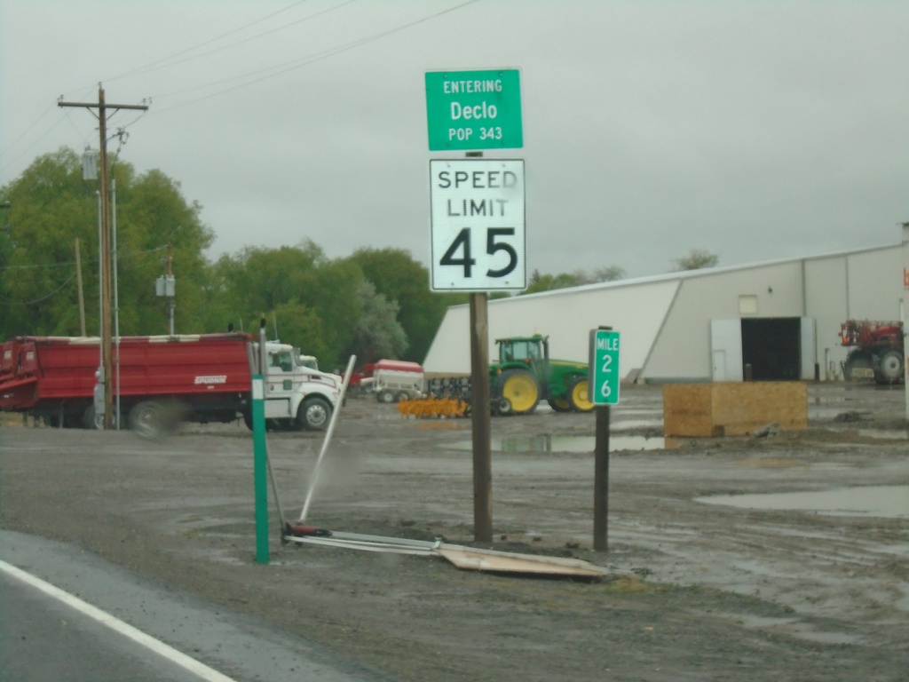
ID-81 North - Declo
Entering Declo - Population 343 on ID-81 North. Speed Limit 45 MPH. Milepost 26.
Taken 05-22-2020
 Declo
Cassia County
Idaho
United States
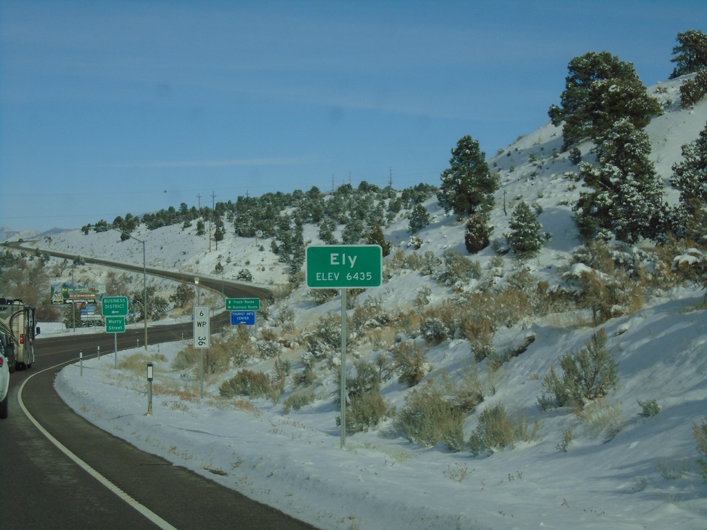
US-6 East - Ely
Entering Ely on US-6 west. Elevation 6435 Feet. Ely is the county seat of White Pine County. A US-6 postmile is in the background of the photo.
Taken 11-30-2019
 Ely
White Pine County
Nevada
United States
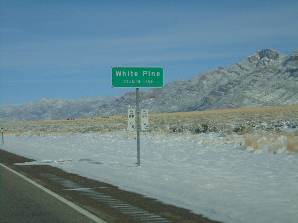
NV-318 North - White Pine County Line
White Pine County Line on NV-318 North. The Nevada postmile markers for White Pine County and Nye County are at the bottom of the sign post.
Taken 11-30-2019
 Lund
White Pine County
Nevada
United States
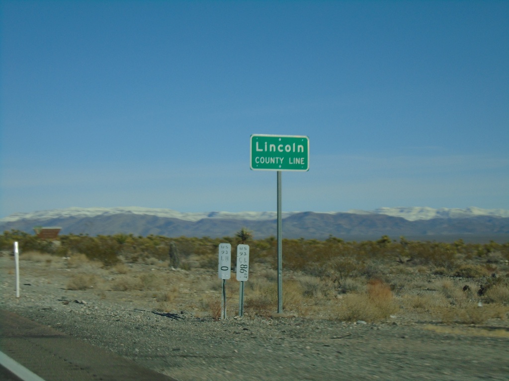
US-93 North - Lincoln County
Lincoln County Line on US-93 north.
Taken 11-30-2019
 Moapa
Lincoln County
Nevada
United States
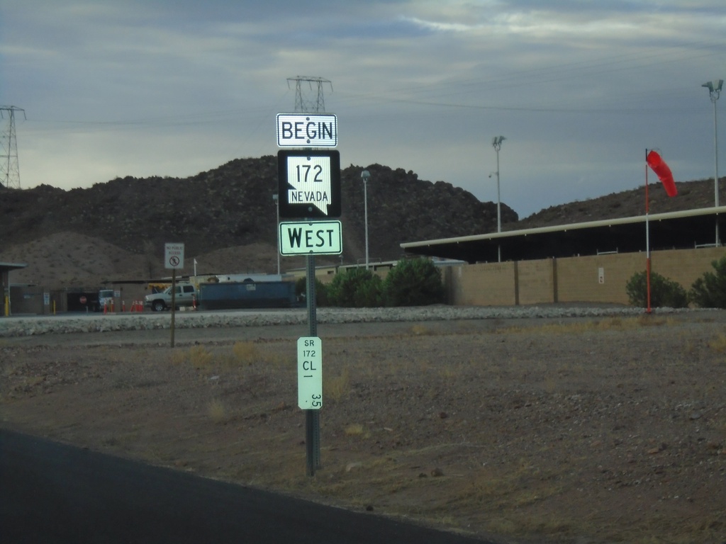
Begin NV-172 West
Begin NV-172 west at the Hoover Dam Security Checkpoint. Postmile 1.35.
Taken 11-27-2019
 Boulder City
Clark County
Nevada
United States
NV-173 South - Mile 1
Mile 1 in Clark County on NV-173 south
Taken 11-27-2019
 Boulder City
Clark County
Nevada
United States
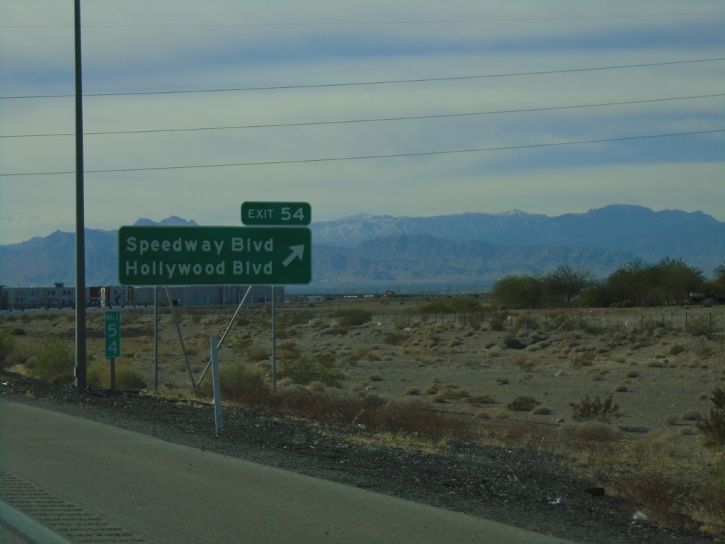
I-15 South - Exit 54
I-15 south at Exit 54 - Speedway Blvd/Hollywood Blvd
Taken 11-26-2019

 Las Vegas
Clark County
Nevada
United States
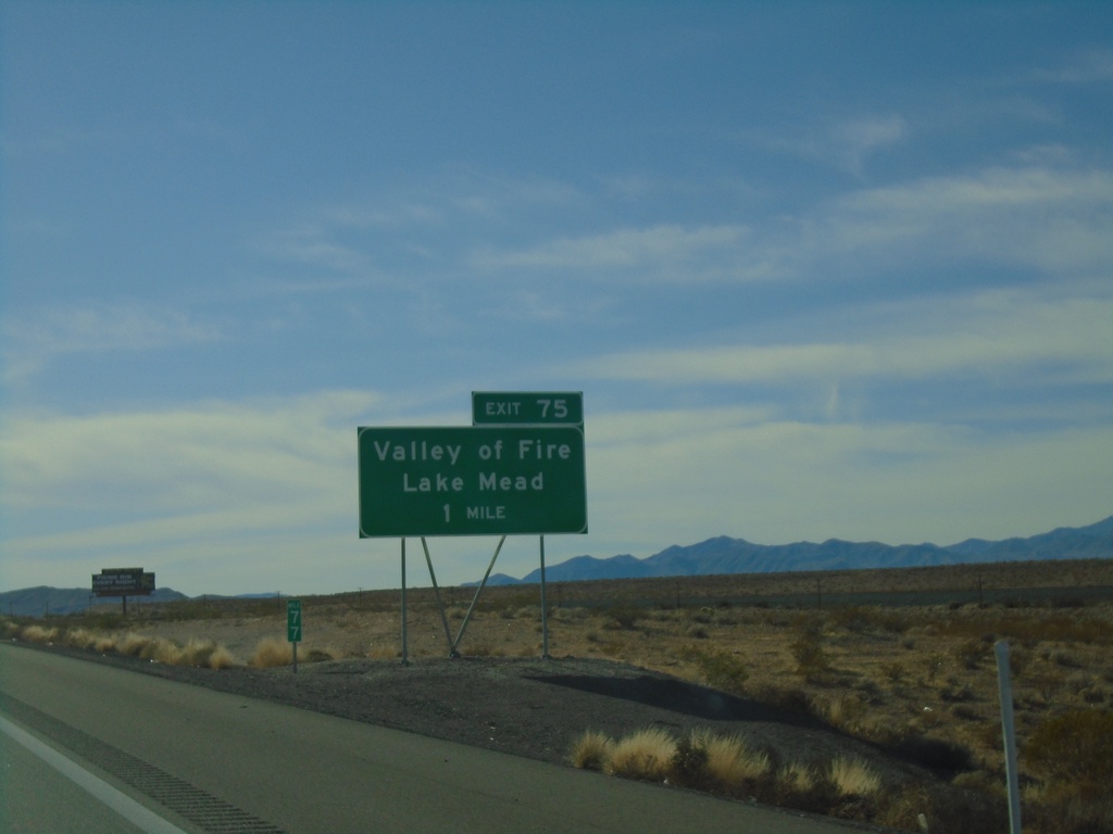
I-15 South - Exit 77
I-15 south approaching Exit 77 - Valley of Fire/Lake Mead
Taken 11-26-2019
 Crystal
Clark County
Nevada
United States
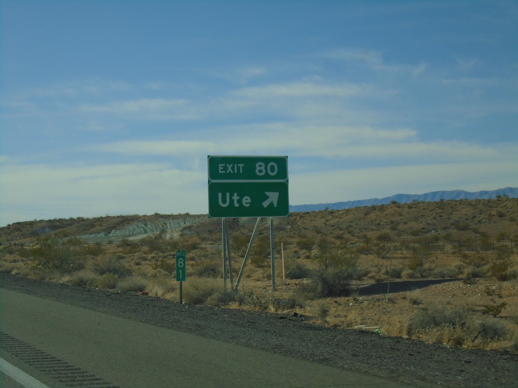
I-15 South - Exit 80
I-15 south at Exit 80 - Ute
Taken 11-26-2019
 Moapa
Clark County
Nevada
United States
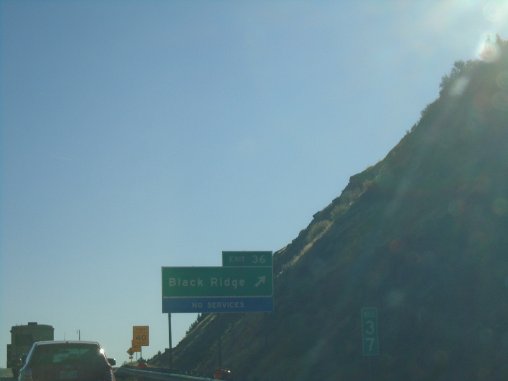
I-15 South - Exit 36
I-15 south at Exit 36 - Black Ridge
Taken 11-24-2019
 New Harmony
Washington County
Utah
United States
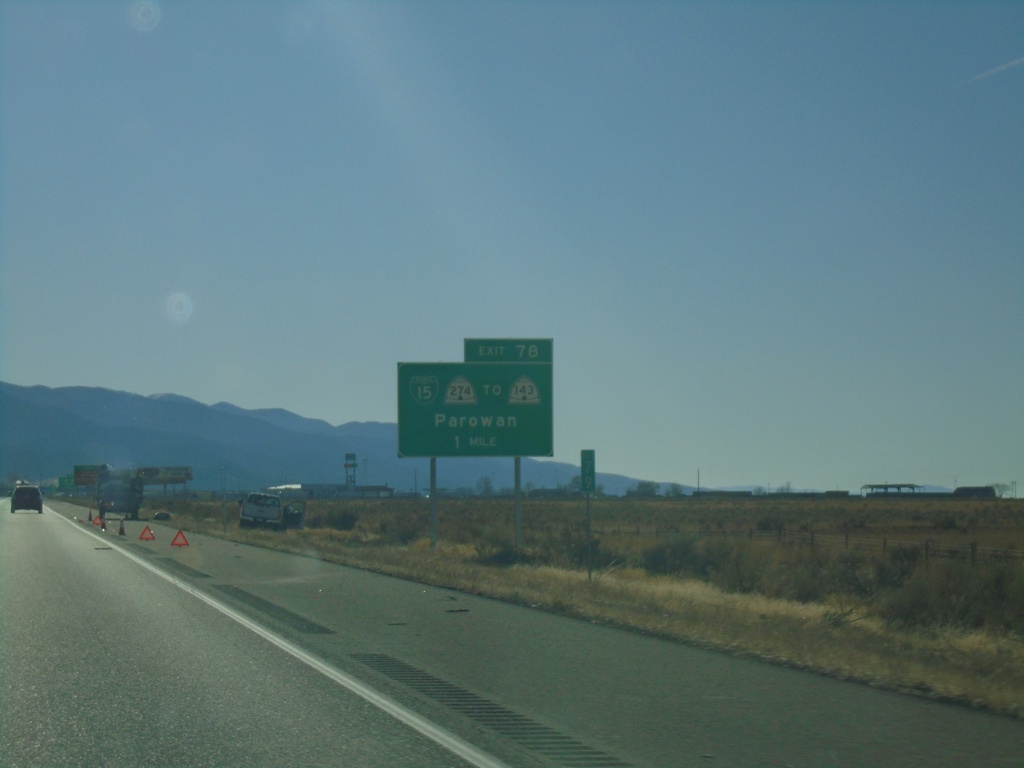
I-15 South - Exit 78
I-15 south approaching Exit 78 - BL-15/UT-274/To UT-143/Parowan.
Taken 11-24-2019


 Parowan
Iron County
Utah
United States
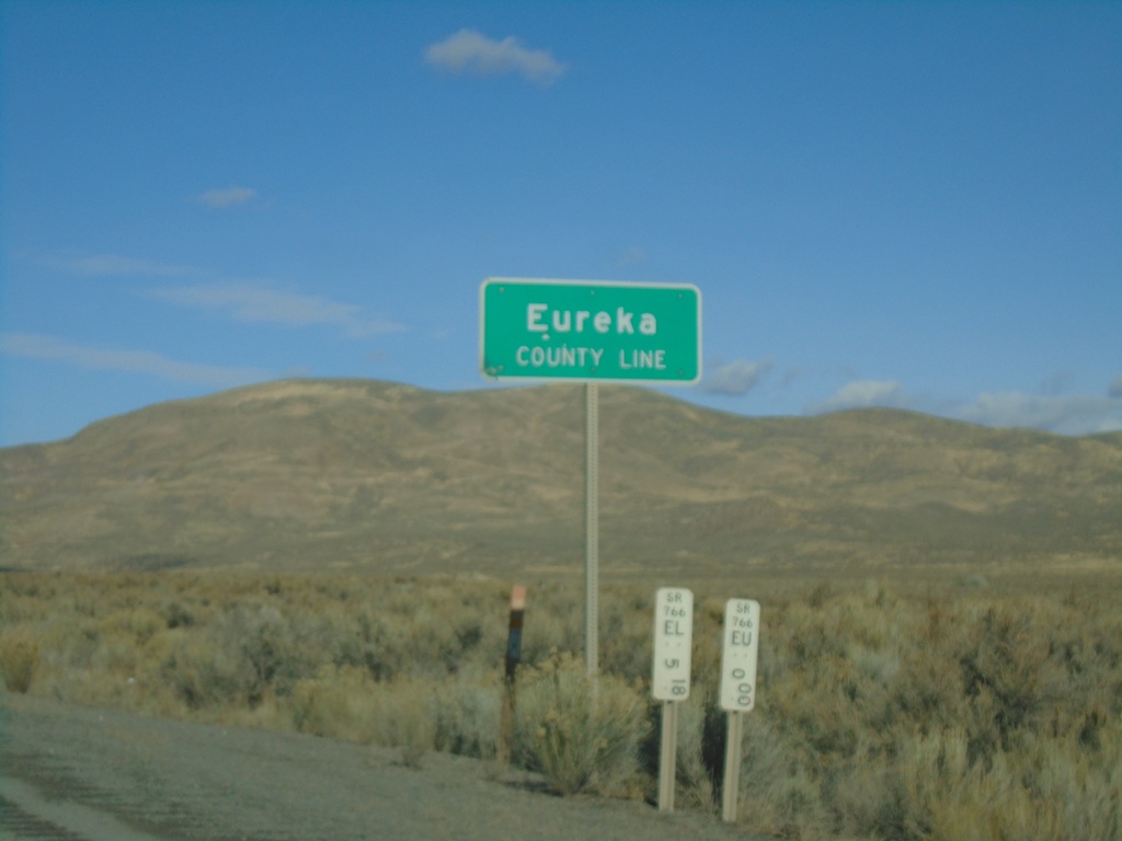
I-80 East - Eureka County Line
I-80 east at Eureka County Line.
Taken 10-20-2019
 Battle Mountain
Eureka County
Nevada
United States
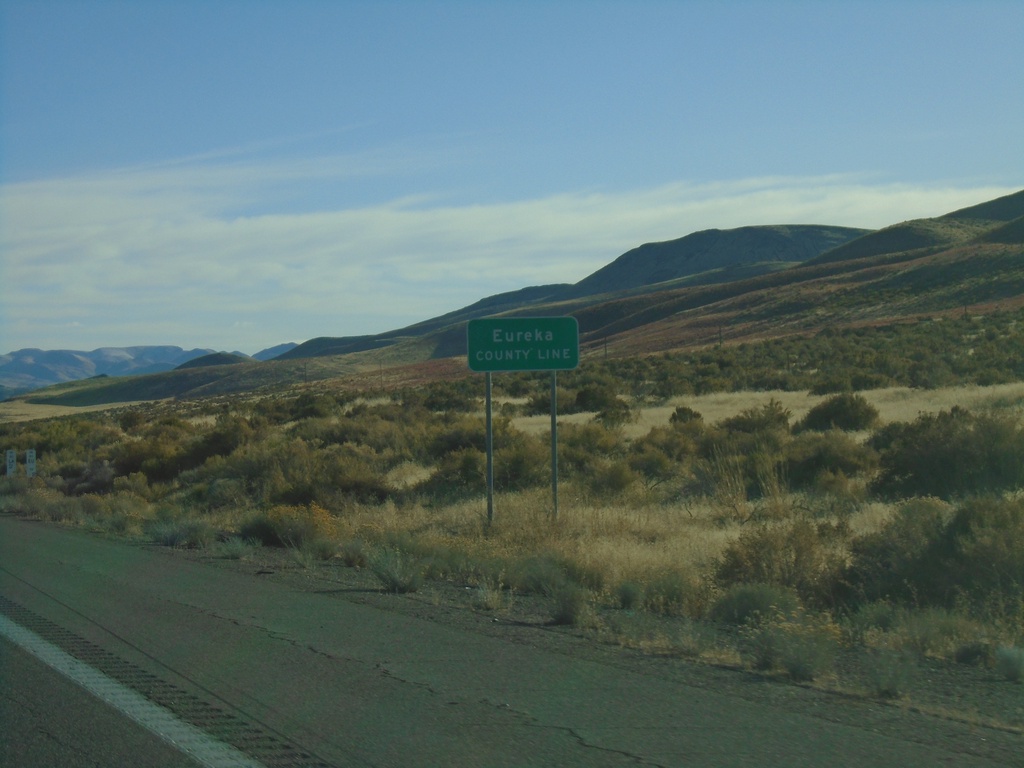
I-80 East - Eureka County Line
I-80 east at Eureka County Line.
Taken 10-20-2019
 Battle Mountain
Eureka County
Nevada
United States
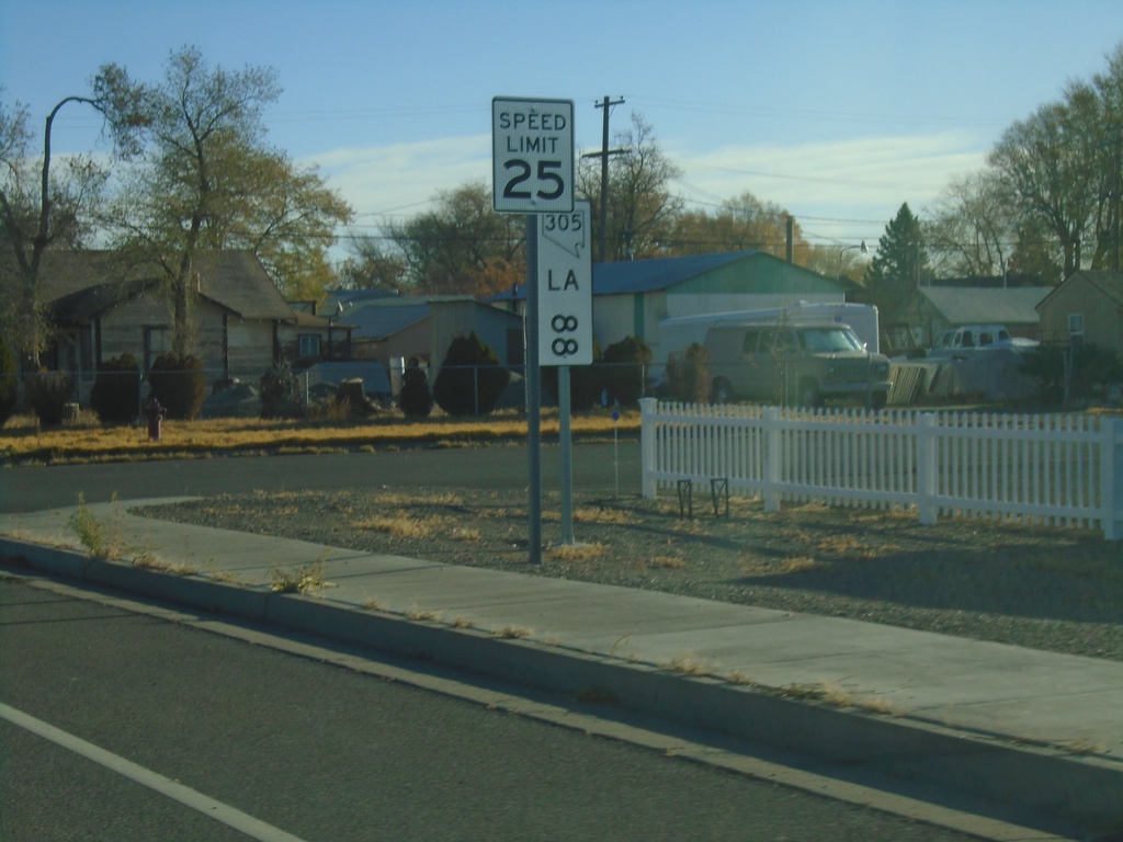
NV-305 North - Postmile 88
NV-305 North - Lander County Postmile 88
Taken 10-20-2019
 Battle Mountain
Lander County
Nevada
United States
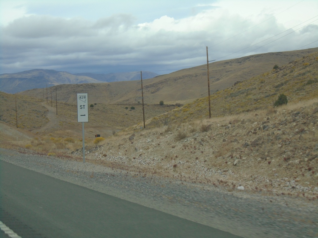
NV-439 North - Mile 1
Storey County Mile 1 on NV-439 North. This type of postmile sign is being rolled out across Nevada. The new style are larger and have the route shield in it.
Taken 10-19-2019
 Fernley
Lyon County
Nevada
United States
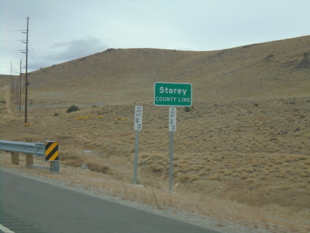
NV-439 North - Storey County
Storey County Line on NV-439 north.
Taken 10-19-2019
 Silver Springs
Storey County
Nevada
United States