Signs Tagged With Mount Rose Highway
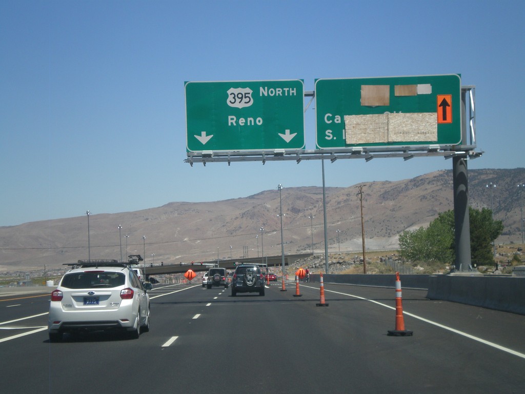
NV-431 East at US-395
NV-431 east at US-395. This is the southern end of the current US-395 freeway. The section between NV-431 and Washoe Lake is expected to be completed in late 2012. For US-395 north to Reno continue straight. In late 2012, the right lanes will be for US-395 south to Carson City and South Lake Tahoe.
Taken 07-28-2012

 Reno
Washoe County
Nevada
United States
Reno
Washoe County
Nevada
United States
NV-431 East - Mount Rose Summit
NV-431 East at Mount Rose Summit - Elevation 8900 Feet. Mount Rose Summit is one of the few Sierra Nevada passes in Nevada, and is the highest pass open year round in the Sierra Nevada.
Taken 07-28-2012
Reno
Washoe County
Nevada
United States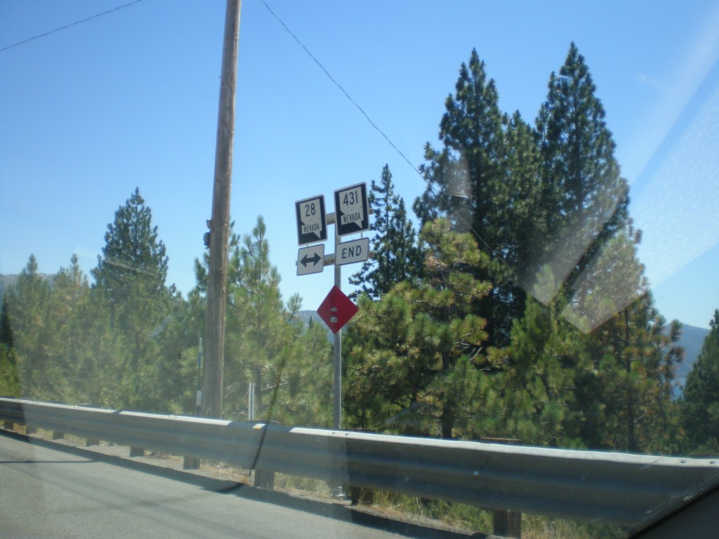
End NV-431 West at NV-28
End NV-431 West at NV-28 in Incline Village.
Taken 07-28-2012
 Incline Village
Washoe County
Nevada
United States
Incline Village
Washoe County
Nevada
United States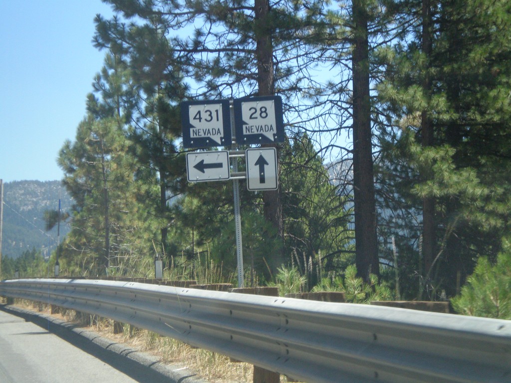
NV-28 East at NV-431
NV-28 east at NV-431 in Incline Village.
Taken 07-28-2012
Incline Village
Washoe County
Nevada
United States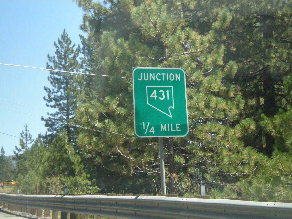
NV-28 East Approaching NV-431
NV-28 east approaching NV-431 (Mount Rose Highway).
Taken 07-28-2012
Incline Village
Washoe County
Nevada
United States