Signs Tagged With Overhead
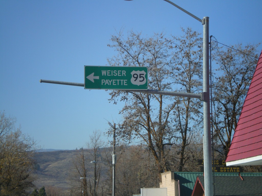
US-95 South - Council
US-95 south overhead to Weiser and Payette at Illinois Ave. and Michigan St. junction.
Taken 11-04-2007
 Council
Adams County
Idaho
United States
Council
Adams County
Idaho
United States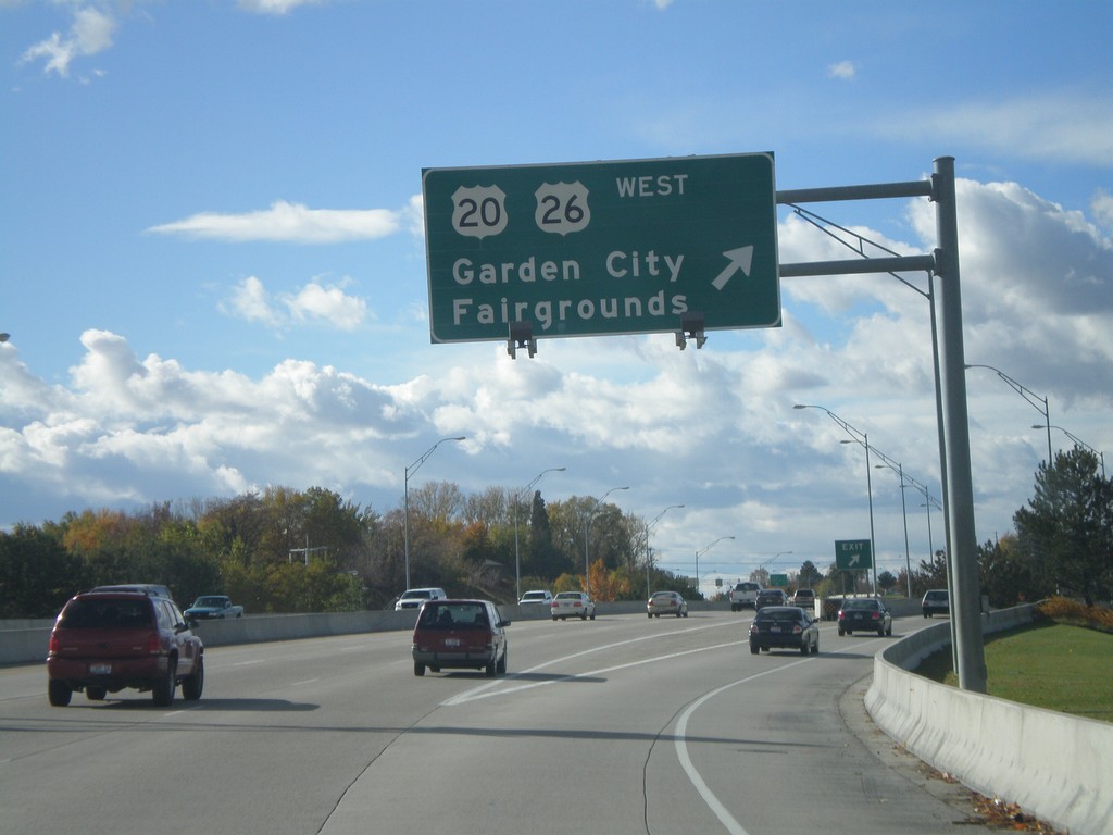
US-20/US-26 West - Begin I-184
US-20/US-26 West at US-20/US-26/Garden City/Fairgrounds Exit. US-20/US-26 leaves the freeway here and becomes Chinden Blvd. The freeway continues as I-184.
Taken 10-20-2007


 Boise
Ada County
Idaho
United States
Boise
Ada County
Idaho
United States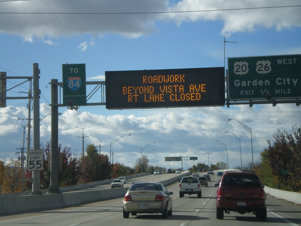
US-20/US-26 West - Garden City Exit
US-20/US-26 West approaching US-20/US-26/Garden City exit. Electronic sign notification of road work on I-84 at the Broadway overpass.
Taken 10-20-2007
 Boise
Ada County
Idaho
United States
Boise
Ada County
Idaho
United States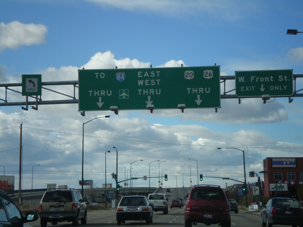
US-20/US-26 West Front St. at 13th St.
US-20/US-26 West (Front St.) at 13th St. After 13th St. US-20/US-26 becomes a freeway, locally known as The Connector.
Taken 10-20-2007
Boise
Ada County
Idaho
United States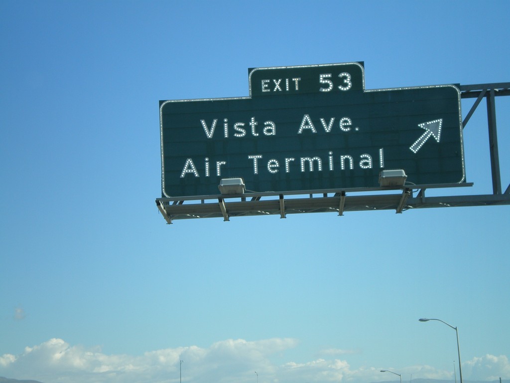
I-84 East Exit 53
I-84 east at Exit 53 - Vista Ave./Air Terminal. Vista Ave. south goes to the Boise Airport. Vista Ave. north goes into downtown Boise.
Taken 10-13-2007
 Boise
Ada County
Idaho
United States
Boise
Ada County
Idaho
United States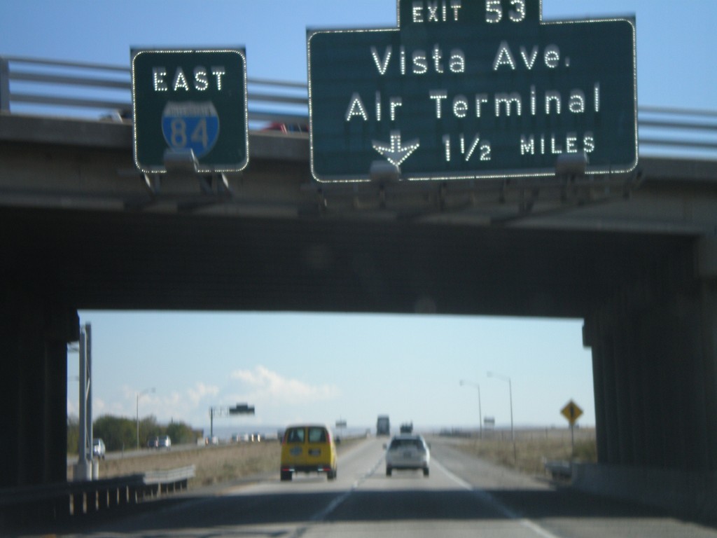
I-84 East Approaching Exit 53
I-84 east overhead, and approaching Exit 53 - Vista Ave./Air Terminal, 1 1/2 miles.
Taken 10-13-2007
Boise
Ada County
Idaho
United States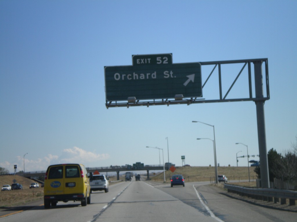
I-84 East Exit 52
I-84 east at Exit 52 - Orchard St. Orchard St. provides access to Gowen Field - the National Guard Base.
Taken 10-13-2007
Boise
Ada County
Idaho
United States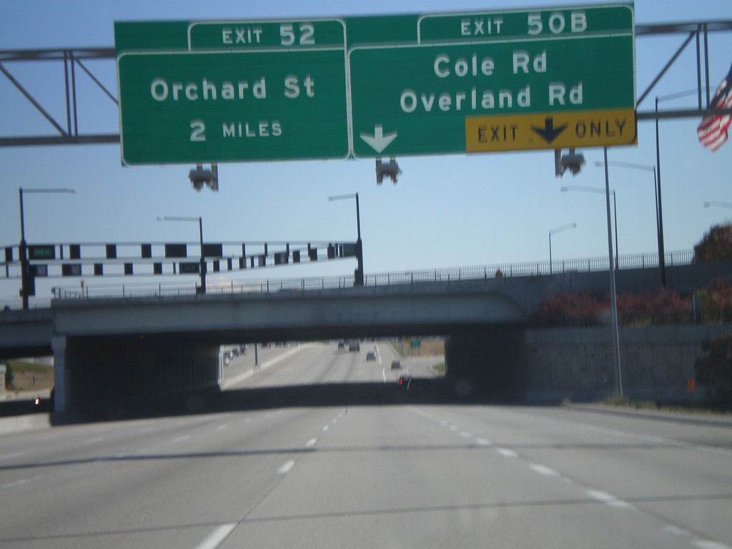
I-84 East Exits 50B and 52
I-84 east at Exit 50B - Cole Rd./Overland Rd., and approaching Exit 52 - Orchard St.
Taken 10-13-2007
Boise
Ada County
Idaho
United States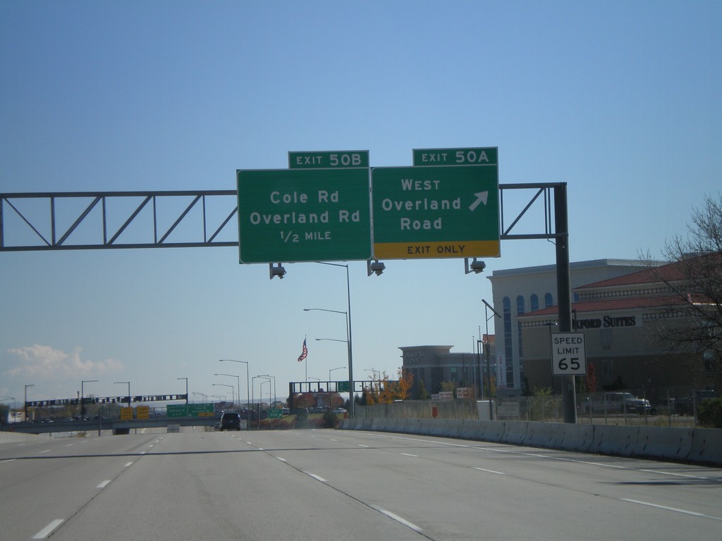
I-84 East Exits 50AB
I-84 east at Exit 50A - West Overland Road. Approaching Exit 50B - Overland Road/Cole Road.
Taken 10-13-2007
Boise
Ada County
Idaho
United States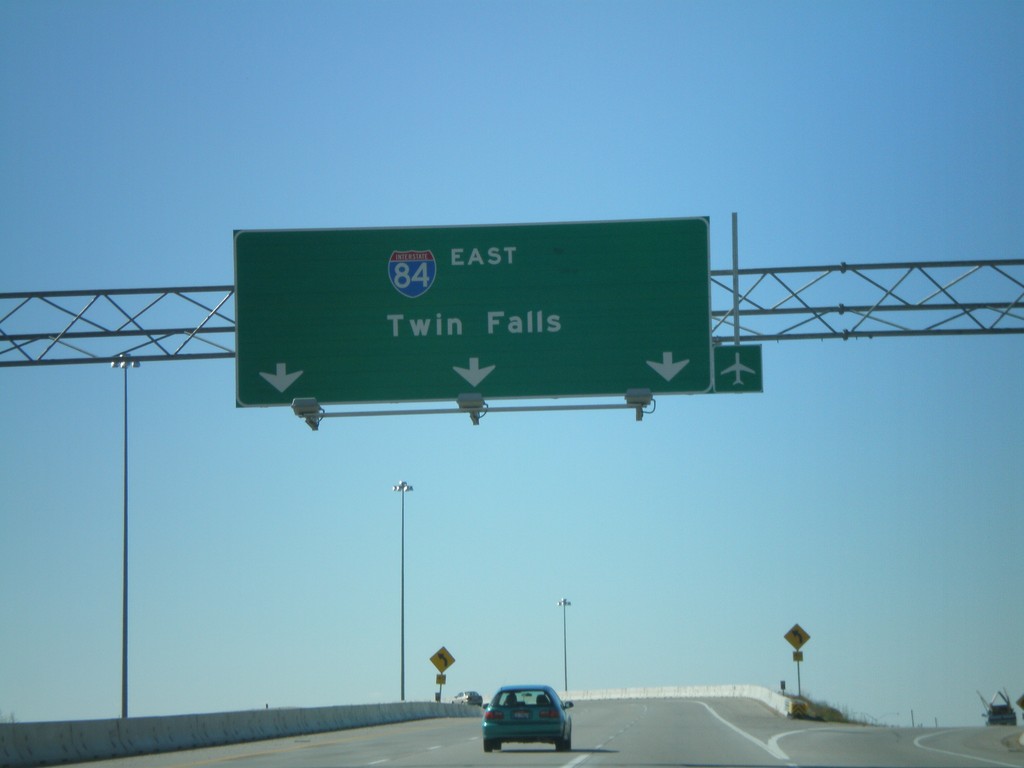
End I-184 at I-84 East
End I-184 on the ramp to I-84 East to Twin Falls. An unmarked ramp here goes to I-84 west. This interchange is known locally as the Flying Wye.
Taken 10-13-2007
Boise
Ada County
Idaho
United States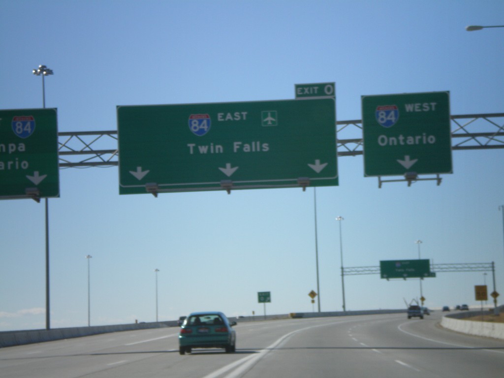
End I-184 at I-84
I-184 west approaching Exit 0, I-84 west to Nampa/Ontario and I-84 east to Twin Falls. The very right lanes and very left lanes go west. This interchange is known locally as the Flying Wye.
Taken 10-13-2007
Boise
Ada County
Idaho
United States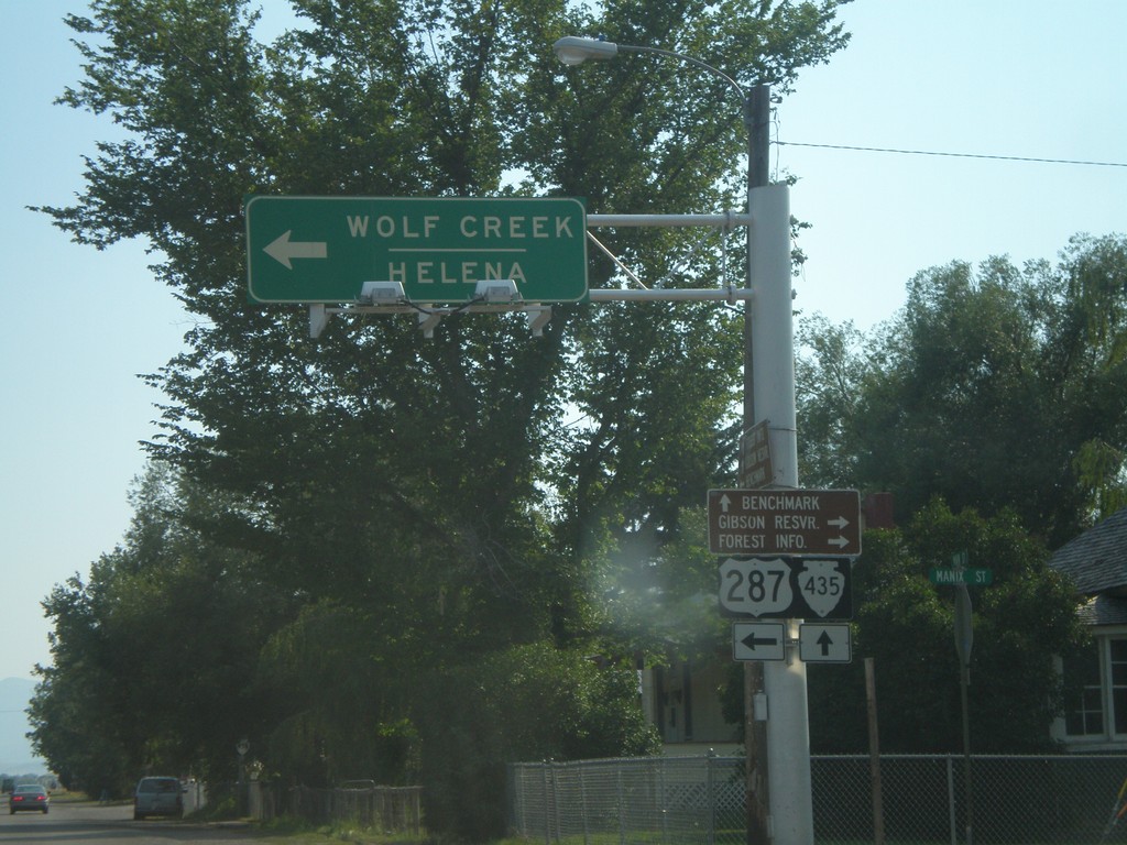
US-287 South at MTS-435
US-287 south to Wolf Creek and Helena at MTS-435 to Bain Lake.
Taken 07-19-2007
 Augusta
Lewis and Clark County
Montana
United States
Augusta
Lewis and Clark County
Montana
United States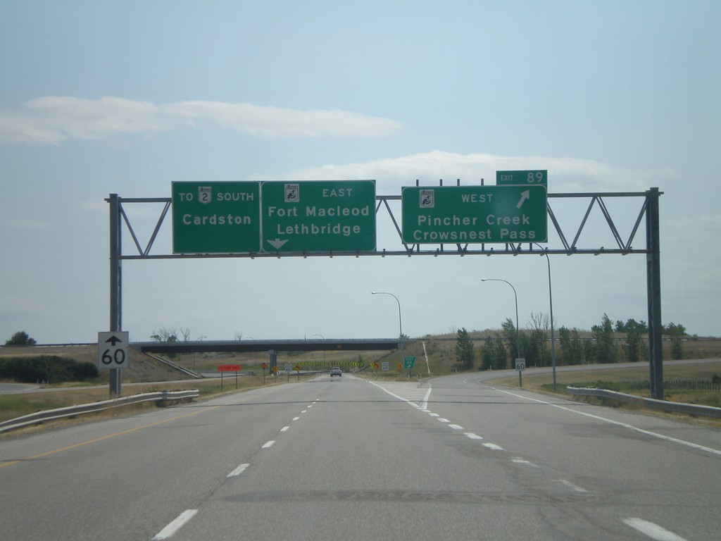
AB-2 South Exit 89
AB-2 south at AB-3 - east to Lethbridge and Fort Macleod. AB-3 west to Pincher Creek and Crowsnest Pass.
Taken 07-19-2007

 Fort Macleod
Willow Creek No. 26
Alberta
Canada
Fort Macleod
Willow Creek No. 26
Alberta
Canada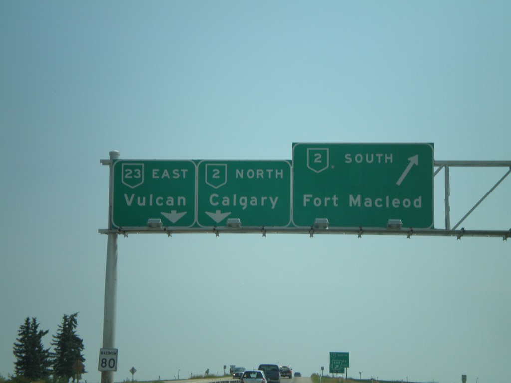
AB-23 South AB-2 Jct.
AB-23 east at AB-2 to Calgary and Fort Macleod.
Taken 07-19-2007

 High River
Foothills County
Alberta
Canada
High River
Foothills County
Alberta
Canada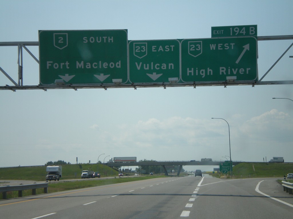
AB-2 South Exit 194AB
AB-2 south at Exit 194B, AB-23 West/High River, approaching Exit 194A, AB-23 East/Vulcan.
Taken 07-19-2007
High River
Foothills County
Alberta
Canada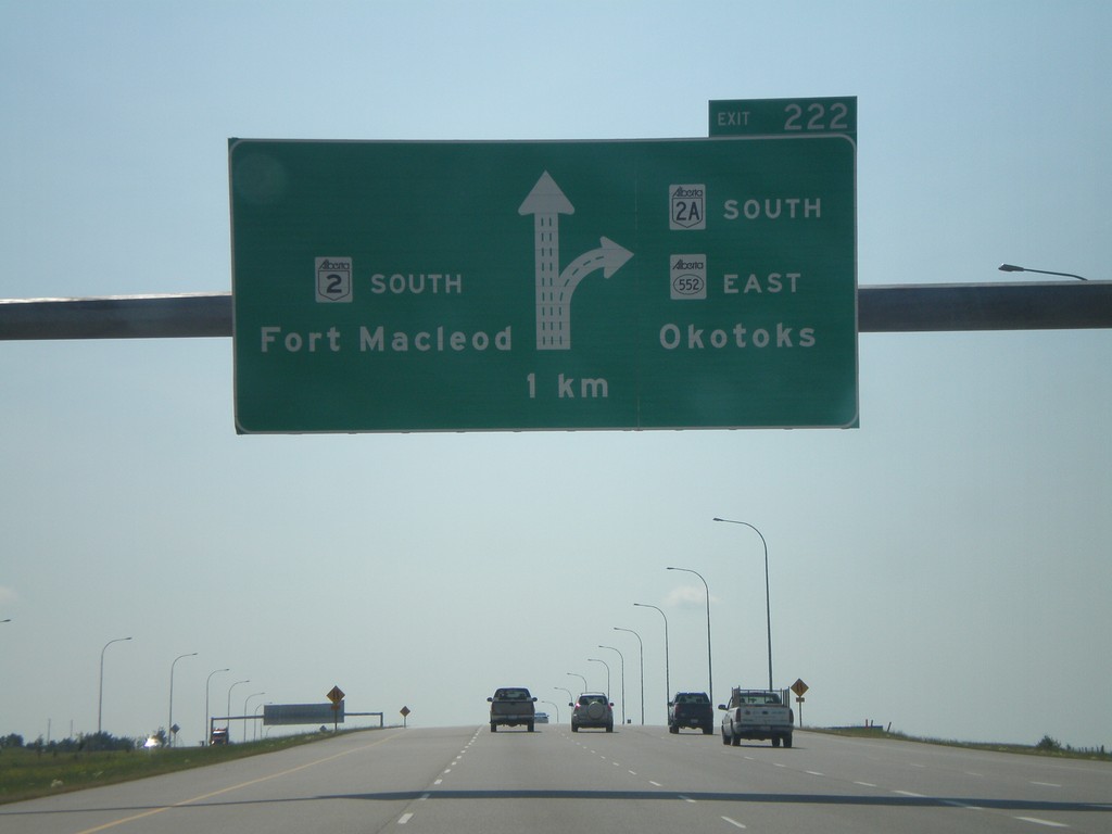
AB-2 South Exit 222
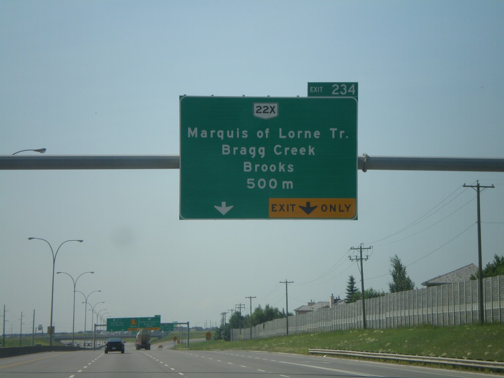
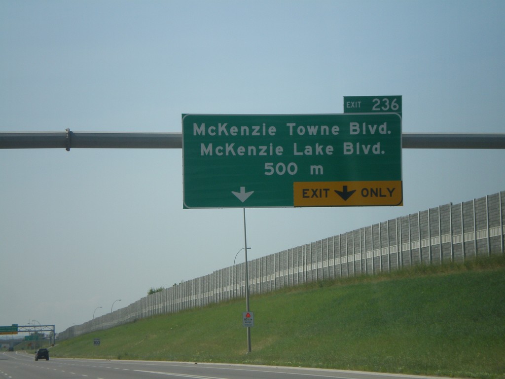
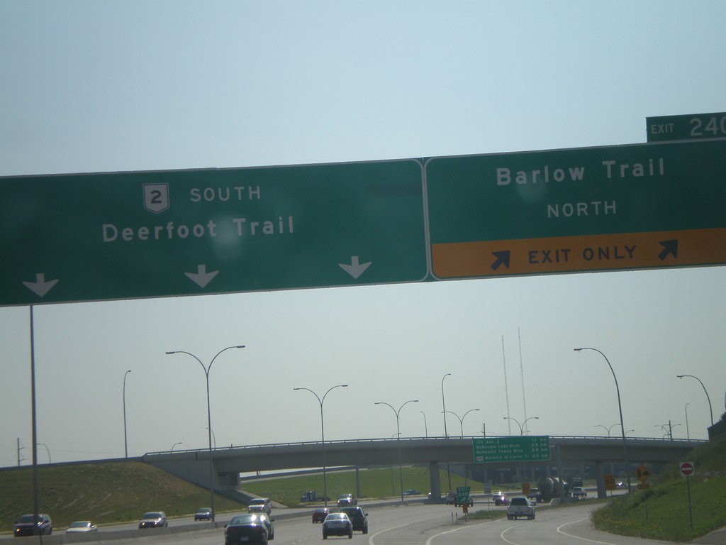
AB-2 south approaching Exit 222, AB-2A/ABS-522/Okotoks, 1 km.
Taken 07-19-2007
 Calgary
Foothills County
Alberta
Canada
Calgary
Foothills County
Alberta
Canada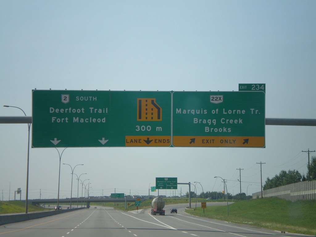

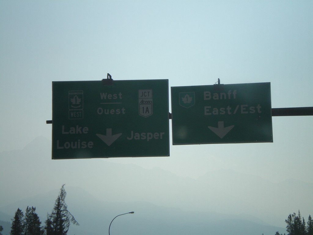
AB-93 North TC-1/TC-1A Jct.
AB-93 north approaching TC-1/AB-1A to Lake Louise, Jasper, and Banff.
Taken 07-17-2007


 Improvement District No. 9
Alberta
Canada
Improvement District No. 9
Alberta
Canada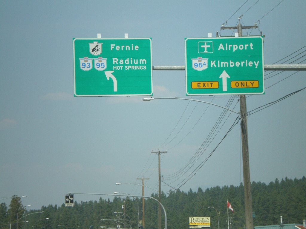
BC-3 East/BC-95 North at BC-95A
BC-3/BC-95 west to Fernie and Radium Hot Springs at BC-95A to Kimberley.
Taken 07-16-2007


 Cranbrook
East Kootenay
British Columbia
Canada
Cranbrook
East Kootenay
British Columbia
Canada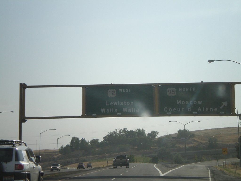
US-95 North/US-12 at US-12 West
US-95 North/US-12 West at US-95/US-12 split. Use right lane for US-95 north to Moscow and Coeur d’Alene. Use left lanes for US-12 west to Lewiston and Walla Walla (Washington).
Taken 07-13-2007
 Lewiston
Nez Perce County
Idaho
United States
Lewiston
Nez Perce County
Idaho
United States